The best walks and hikes around Fragnes-La-Loyère
4.6
(385)
2,325
hikers
268
hikes
Hiking around Fragnes-La-Loyère offers access to gentle terrain, characterized by riverine paths along the Saône, agricultural landscapes, and charming village surroundings. The region features minimal elevation changes, making it suitable for relaxed walks. Trails often traverse open fields and provide views of local architecture and waterways.
Best hiking trails around Fragnes-La-Loyère
- The most popular hiking route is Chalon-sur-Saône – Pont de Bourgogne loop from Chalon-sur-Saône, a 6.8 miles (11.0 km) trail that takes 2 hours 47 minutes to complete.…
Last updated: July 6, 2026
4.7
(9)
59
hikers
11.0km
02:47
10m
10m
Moderate hike. Good fitness required. Easily-accessible paths. Suitable for all skill levels.
13
hikers
5.34km
01:22
20m
20m
Easy hike. Great for any fitness level. Easily-accessible paths. Suitable for all skill levels.

Sign up for free
4.0
(1)
13
hikers
8.24km
02:06
30m
30m
Moderate hike. Good fitness required. Easily-accessible paths. Suitable for all skill levels.
5.0
(2)
9
hikers
11.9km
03:02
40m
40m
Moderate hike. Good fitness required. Easily-accessible paths. Suitable for all skill levels.
13
hikers
7.71km
01:58
30m
30m
Easy hike. Great for any fitness level. Easily-accessible paths. Suitable for all skill levels.
Get access to more routes and recommendations from other explorers.
Sign up for free
Already have an account?
Our route recommendations are based on thousands of hikes, rides, and runs completed by other people on komoot.
Start today with a free account
Your next adventure awaits.
Login or Signup
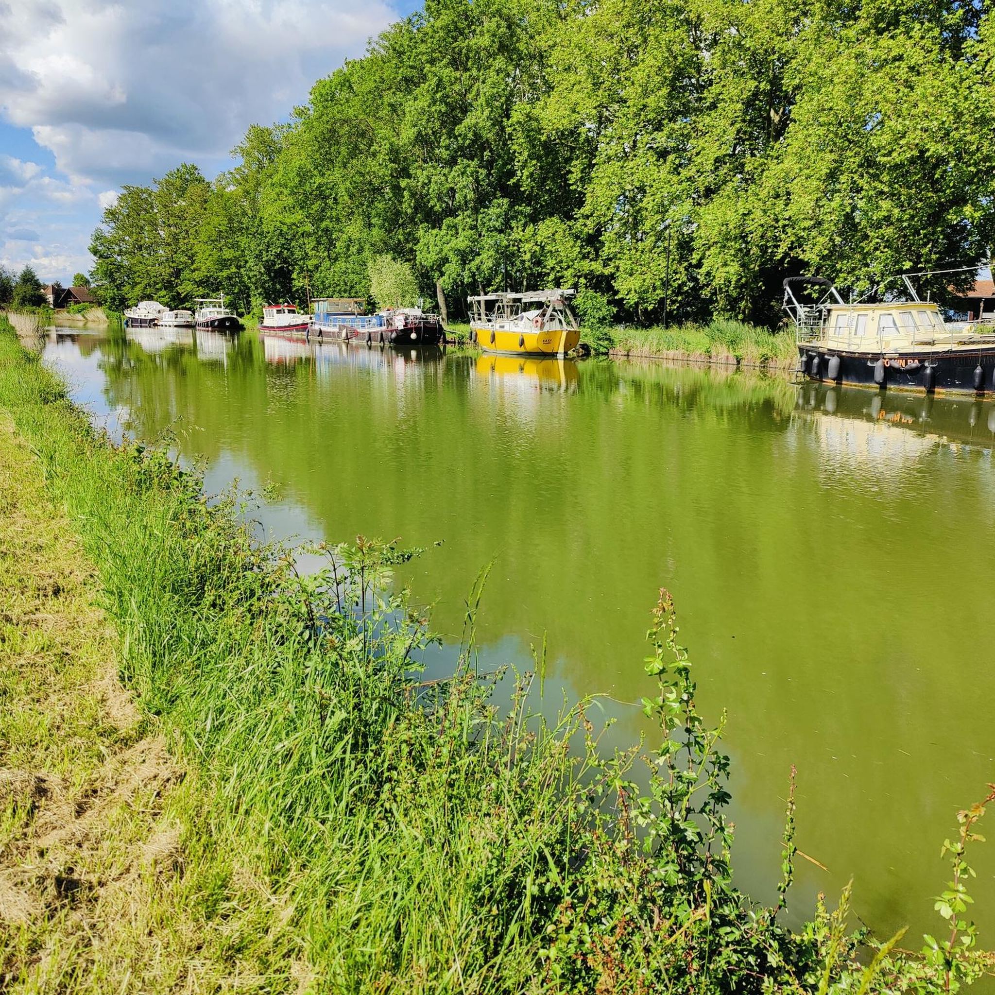
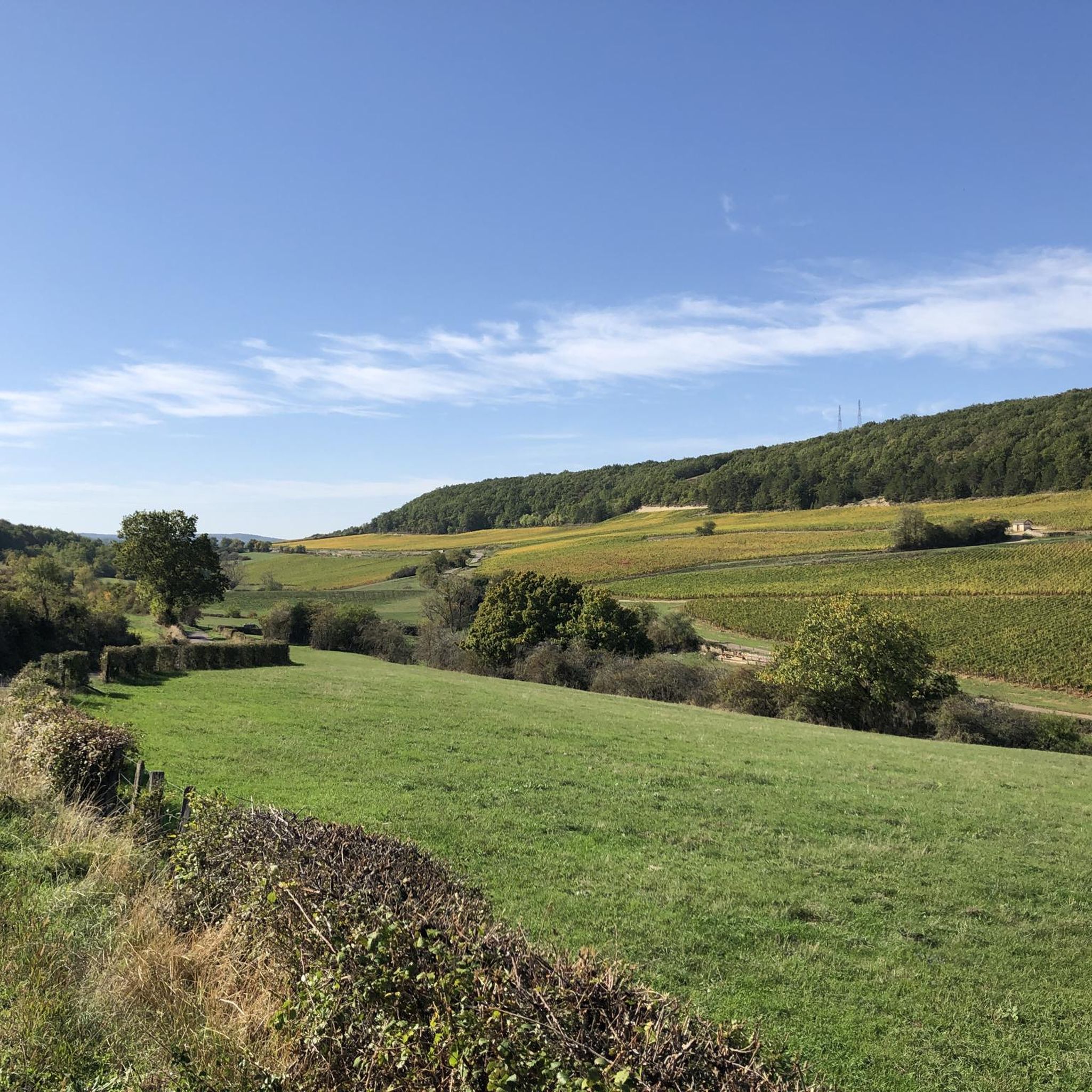
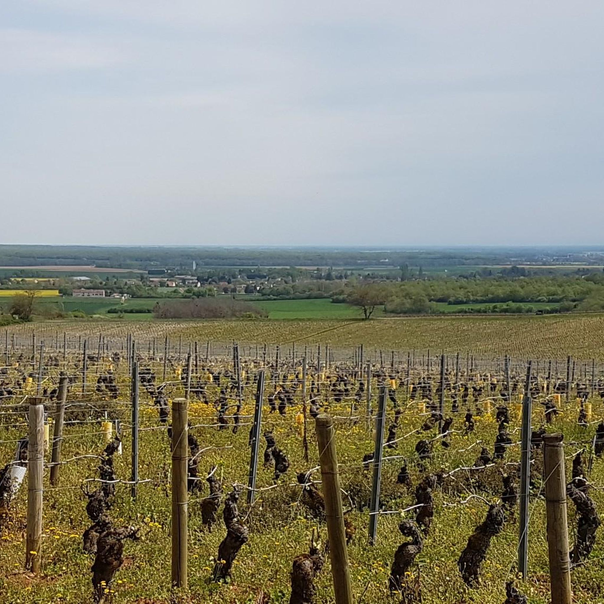
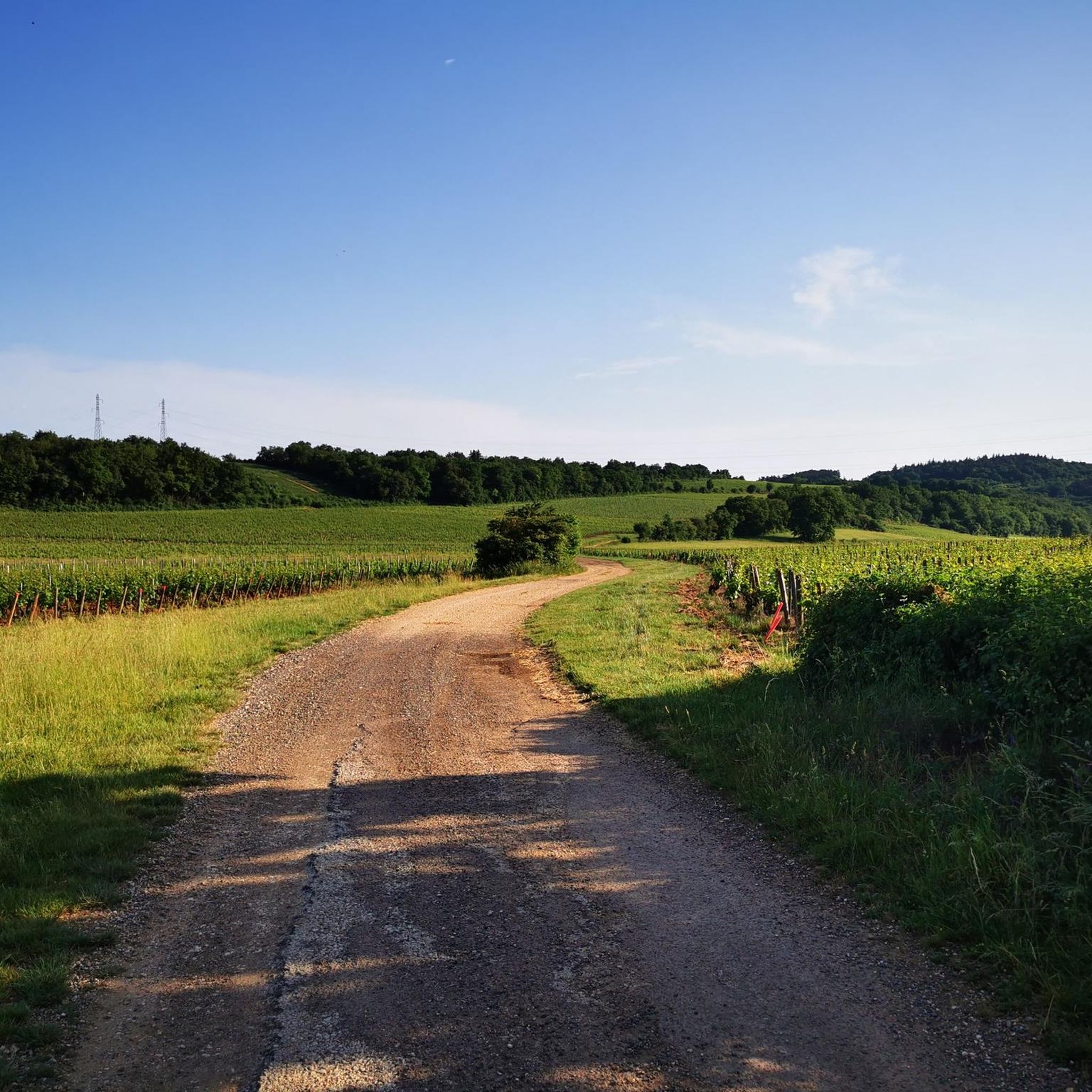
Tips from the Community

A visit to the city center reveals a charming town centered around Saint-Vincent Cathedral and the banks of the Saône River. Nearby, the castles, wine cellars, and villages of the Côte Chalonnaise offer delightful excursions and visits amidst the vineyards.
16
0
If you like crowds, traffic noise and bad air, this is a wonderful location.
17
0
Mysterious and busy bridge over the Saone
15
0

The city is worth a visit
0
0

Beautifully situated on the Saone
1
0

A great view from the bridge.
3
0

Pleasant path along the lake
3
0

If you are coming from the north (Chagny) on the canal and want to drive to the campsite via the Pont de Bourgogne bridge, it is better not to follow the first sign for Chalon Centre. This takes you forever through the commercial area. Continue towards Cluny. There is another sign for Center a few km further, which is a much better guide through the city.
1
0
Frequently Asked Questions
How many hiking trails are available around Fragnes-La-Loyère?
There are over 270 hiking routes recorded around Fragnes-La-Loyère on komoot. These range from easy strolls to more moderate walks, offering a variety of options for different preferences.
Are there easy hiking trails suitable for beginners in Fragnes-La-Loyère?
Yes, the region is known for its gentle terrain and minimal elevation changes, making it ideal for beginners. There are 146 easy routes available. An example is the Fontaines Church loop from Fontaines, which is an easy 3.3-mile (5.3 km) path exploring the village and countryside.
What kind of landscapes can I expect to see on hikes near Fragnes-La-Loyère?
Hiking around Fragnes-La-Loyère primarily features gentle riverine paths along the Saône, expansive agricultural fields, and charming village surroundings. You'll often encounter views of local architecture and waterways, with minimal significant elevation changes.
Are there any circular walks available in the area?
Yes, many routes in Fragnes-La-Loyère are designed as circular walks, allowing you to start and end at the same point. For instance, the Chalon-sur-Saône – Pont de Bourgogne loop from Chalon-sur-Saône is a popular moderate 6.8-mile (11.0 km) loop along the river.
What is the best time of year to go hiking in Fragnes-La-Loyère?
The region's gentle terrain makes it enjoyable for hiking during most of the year. Spring and autumn offer pleasant temperatures and beautiful scenery, while summer is great for riverside walks. Winter hikes are also possible, though some paths might be muddy after rain.
Are the hiking trails around Fragnes-La-Loyère suitable for families with children?
Absolutely. The prevalence of easy routes and gentle terrain makes Fragnes-La-Loyère very family-friendly. Many paths are relatively flat and pass through villages or open fields, providing a relaxed experience for all ages. The Chalon-sur-Saône loop from Chalon-sur-Saône is an easy 4.5-mile (7.2 km) option that families might enjoy.
Can I bring my dog on the hiking trails in Fragnes-La-Loyère?
Generally, dogs are welcome on most hiking trails in the region, especially on paths through open fields and along riverbanks. It's always recommended to keep your dog on a leash, especially near agricultural areas or wildlife, and to clean up after them.
What do other hikers enjoy most about the trails in Fragnes-La-Loyère?
The komoot community highly rates the trails in Fragnes-La-Loyère, with an average score of 4.6 stars from over 300 reviews. Hikers often praise the peaceful river paths, the charming village scenery, and the accessibility of the routes for all fitness levels.
Are there any hikes that pass by historical sites or landmarks?
Yes, some routes incorporate historical elements. For example, the Château de Cruzille loop from Champforgeuil is a moderate 5.1-mile (8.2 km) trail that leads through rural landscapes and past historical sites, offering a glimpse into the region's heritage.
What is the typical duration for a hike in this region?
Hikes in Fragnes-La-Loyère vary in duration depending on the route and your pace. Many popular trails, like the Château de Cruzille loop from Châtenoy-le-Royal (7.4 miles / 11.9 km), can take around 3 hours. There are also shorter, easy walks that can be completed in under 1.5 hours.
Is parking readily available at trailheads in Fragnes-La-Loyère?
Parking is generally available in or near the starting points of many trails, especially in the villages and towns that serve as common access points. It's advisable to check specific route details on komoot for information on parking facilities at individual trailheads.
Most popular routes around Fragnes-La-Loyère
Most popular attractions around Fragnes-La-Loyère

Get inspired with the komoot mobile app


Explore more
Browse the best Hikes in other regions.
