The best walks and hikes around Bellegarde-Marsal
4.5
(245)
1,535
hikers
70
hikes
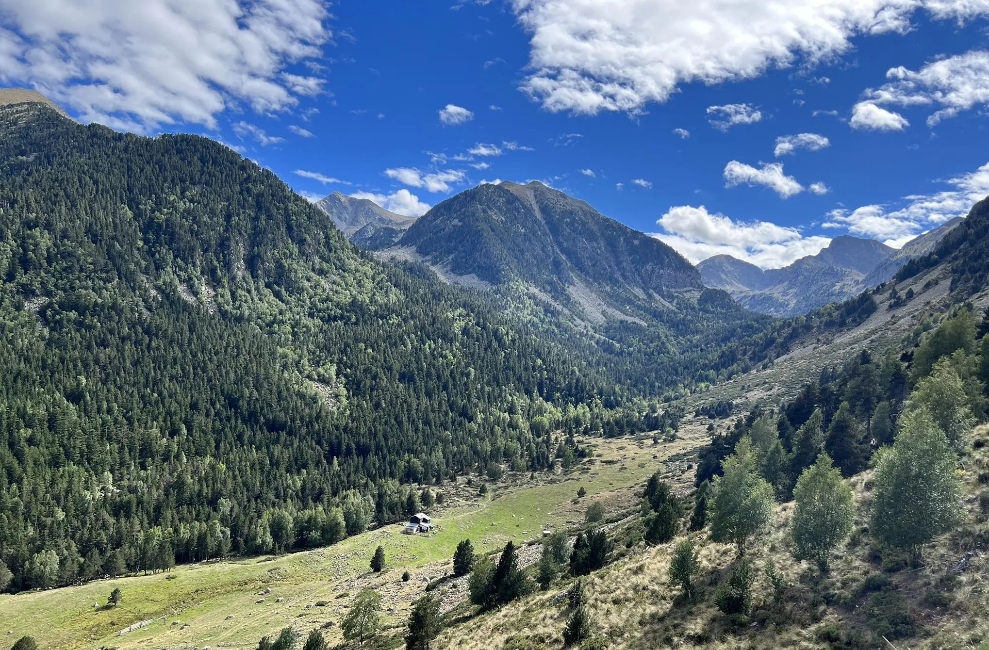
Hiking around Bellegarde-Marsal offers diverse landscapes, including the prominent meander of the Tarn River and the Ségala plateaus. The region features varied terrain, from open countryside to dense woodlands, providing natural coolness in summer. Trails often provide views over the Tarn valley and traverse forests.
Best hiking trails around Bellegarde-Marsal
- The most popular hiking route is Château de Labastide-Vassals Trail, a 7.0 miles (11.2 km) moderate trail that takes 3 hours 8 minutes to complete. This route explores varied…
Last updated: June 24, 2026
4.6
(12)
50
hikers
11.2km
03:08
230m
230m
Moderate hike. Good fitness required. Easily-accessible paths. Suitable for all skill levels.
5.0
(6)
35
hikers
8.92km
02:23
100m
100m
Moderate hike. Good fitness required. Easily-accessible paths. Suitable for all skill levels.

Sign up for free
4.5
(2)
11
hikers
7.13km
02:02
150m
160m
Moderate hike. Good fitness required. Easily-accessible paths. Suitable for all skill levels.
3.5
(2)
9
hikers
8.71km
02:27
180m
180m
Moderate hike. Good fitness required. Easily-accessible paths. Suitable for all skill levels.
5.0
(1)
8
hikers
11.8km
03:21
260m
260m
Moderate hike. Good fitness required. Easily-accessible paths. Suitable for all skill levels.
Get access to more routes and recommendations from other explorers.
Sign up for free
Already have an account?
Our route recommendations are based on thousands of hikes, rides, and runs completed by other people on komoot.
Start today with a free account
Your next adventure awaits.
Login or Signup



Other adventures around Bellegarde-Marsal

Tips from the Community

incredible and relaxing
0
0

Ruins of a medieval village abandoned in the 16th century and lost in the forest. You can still see the remains of the old mill, including huge millstones, as well as a little higher the remains of the Labastide Vassals keep which once dominated the old medieval village.
0
0
Vestige of the castle of Labastide Vassals which is in fact a dungeon which once dominated the old medieval village.
0
0
Ruins of a medieval village abandoned in the 16th century and lost in the forest. The remains of the old mill, including huge millstones, are very interesting.
0
0

Small quiet pond with table hidden at the bottom, ideal for picnicking in the middle of nature and the song of toads (in season)
0
0

Frequently Asked Questions
How many hiking trails are there in Bellegarde-Marsal?
Bellegarde-Marsal offers over 50 hiking routes, catering to various fitness levels. You'll find a good mix of easy strolls, moderate loops, and some more challenging paths.
What kind of terrain can I expect on hikes around Bellegarde-Marsal?
The terrain around Bellegarde-Marsal is quite varied. You can expect trails that wind through open countryside, dense woodlands, and across the Ségala plateaus. Many routes offer impressive views over the Tarn River valley, often following its meanders, and some pass through charming villages with schist stone houses.
Are there easy hiking options in Bellegarde-Marsal?
Yes, there are plenty of easy hiking options. Over 20 of the routes in Bellegarde-Marsal are classified as easy, making them suitable for a relaxed walk or for those new to hiking. These trails often provide pleasant strolls through the countryside or along riverbanks.
Are there challenging hikes for experienced hikers in the area?
While most trails are moderate, there is at least one difficult route for experienced hikers. The View of Ambialet – View of Ambialet loop from Ambialet is a challenging 12.1-mile (19.4 km) path with significant elevation gain, offering extensive views of the Tarn River meander and the Ambialet peninsula.
What do other hikers enjoy most about hiking in Bellegarde-Marsal?
The hiking experience in Bellegarde-Marsal is highly rated by the komoot community, with an average score of 4.6 stars from over 220 reviews. Hikers often praise the diverse landscapes, the scenic views of the Tarn River, and the natural coolness provided by the woodlands during summer.
Are there any circular walks available?
Yes, many of the routes in Bellegarde-Marsal are circular, allowing you to start and end at the same point. For example, the Bastide des Vassals – Château de Labastide Vassals loop from Marsal is a moderate 4.4-mile (7.1 km) circular hike that takes you through varied landscapes.
What historical sites or landmarks can I see while hiking?
The region is rich in history. You can explore medieval castle ruins along routes like the Château de Labastide-Vassals Trail. The Ambialet Peninsula, embraced by the Tarn River, features an 11th-century priory and the ruins of Saint-Raphaël castle. Nearby, you can also visit the impressive Saint Cecilia's Cathedral and the Palais de la Berbie in Albi.
Are there any long-distance hiking routes that pass through Bellegarde-Marsal?
Yes, Bellegarde-Marsal is part of longer itineraries. Sections of the GR736® long-distance hiking route, which follows the Tarn River, pass through the area, offering opportunities for multi-day adventures.
Are the hiking trails in Bellegarde-Marsal family-friendly?
Many of the easy and moderate trails are suitable for families. The varied landscapes and historical points of interest can make for an engaging experience for children. Consider routes with less elevation gain and shorter distances for younger hikers.
Are dogs allowed on the hiking trails?
Generally, dogs are welcome on many trails in the region, especially if kept on a leash. However, it's always advisable to check local signage or specific route descriptions for any restrictions, particularly in nature reserves or protected areas.
What is the best time of year to hike in Bellegarde-Marsal?
The region is pleasant for hiking throughout much of the year. The woodlands provide natural coolness in summer, making it a comfortable time to explore. Spring and autumn offer mild temperatures and beautiful scenery with changing foliage.
Where can I find scenic views of the Tarn River?
Many trails offer stunning views of the Tarn River. The meander around Marsal and Ambialet is a particularly prominent natural feature. A footpath known as the 'Chemin de la Beaute' follows the left bank of the Tarn for 3 kilometers, providing impressive vistas over the valley and the Ségala plateaus. You can also explore the Meander of Marsal for more information.
What are the parking and public transport options for accessing trails?
Access to trails often involves local parking areas near trailheads in villages like Marsal or Ambialet. Public transport options might be limited directly to all trailheads, so checking local bus schedules or considering car travel to starting points is recommended for flexibility.
Most popular routes around Bellegarde-Marsal
Most popular attractions around Bellegarde-Marsal

Get inspired with the komoot mobile app


Explore more
Browse the best Hikes in other regions.
