The best cycling routes around Landkreis Fulda
4.6
(18183)
74,211
riders
2,385
rides
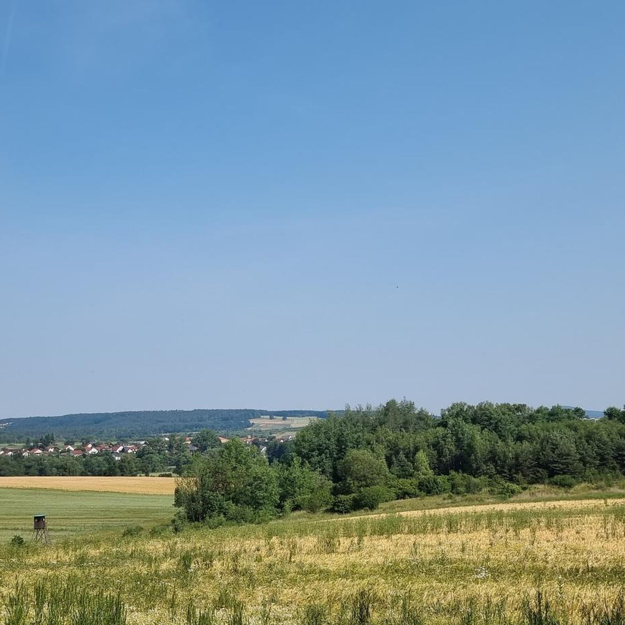
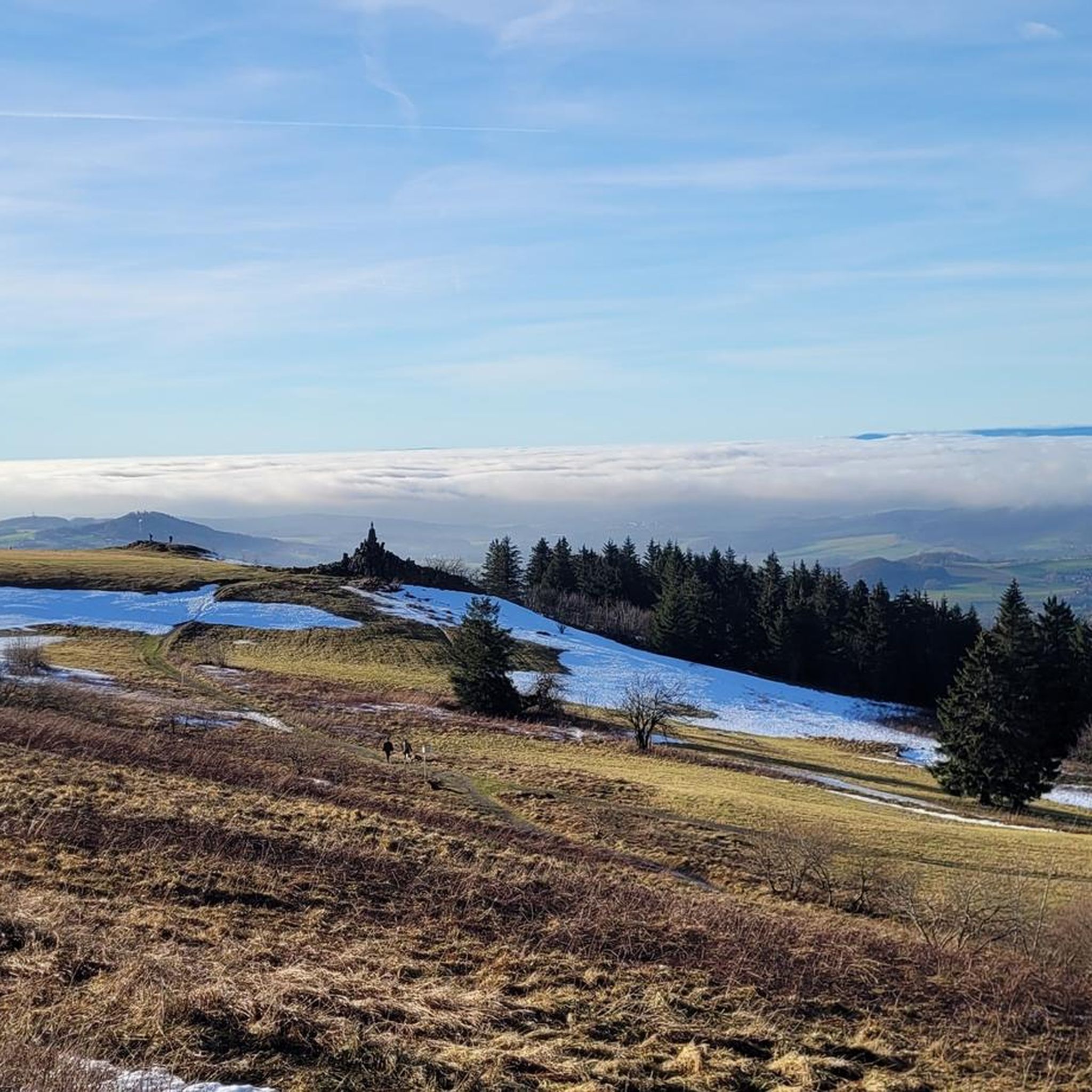
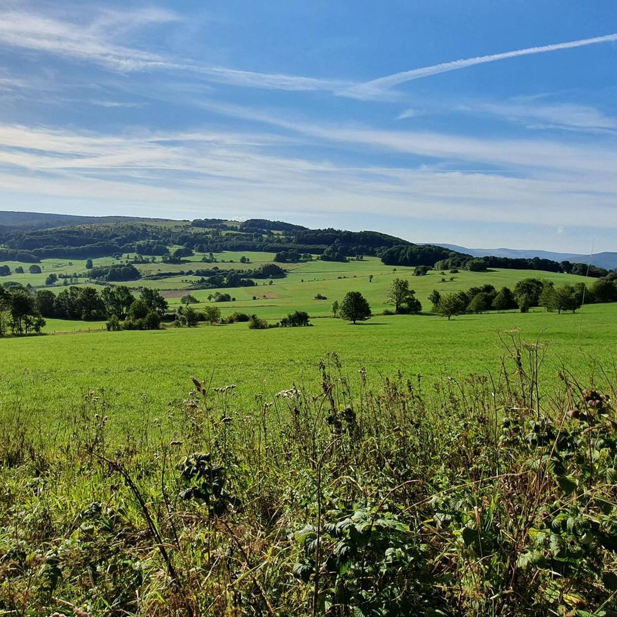
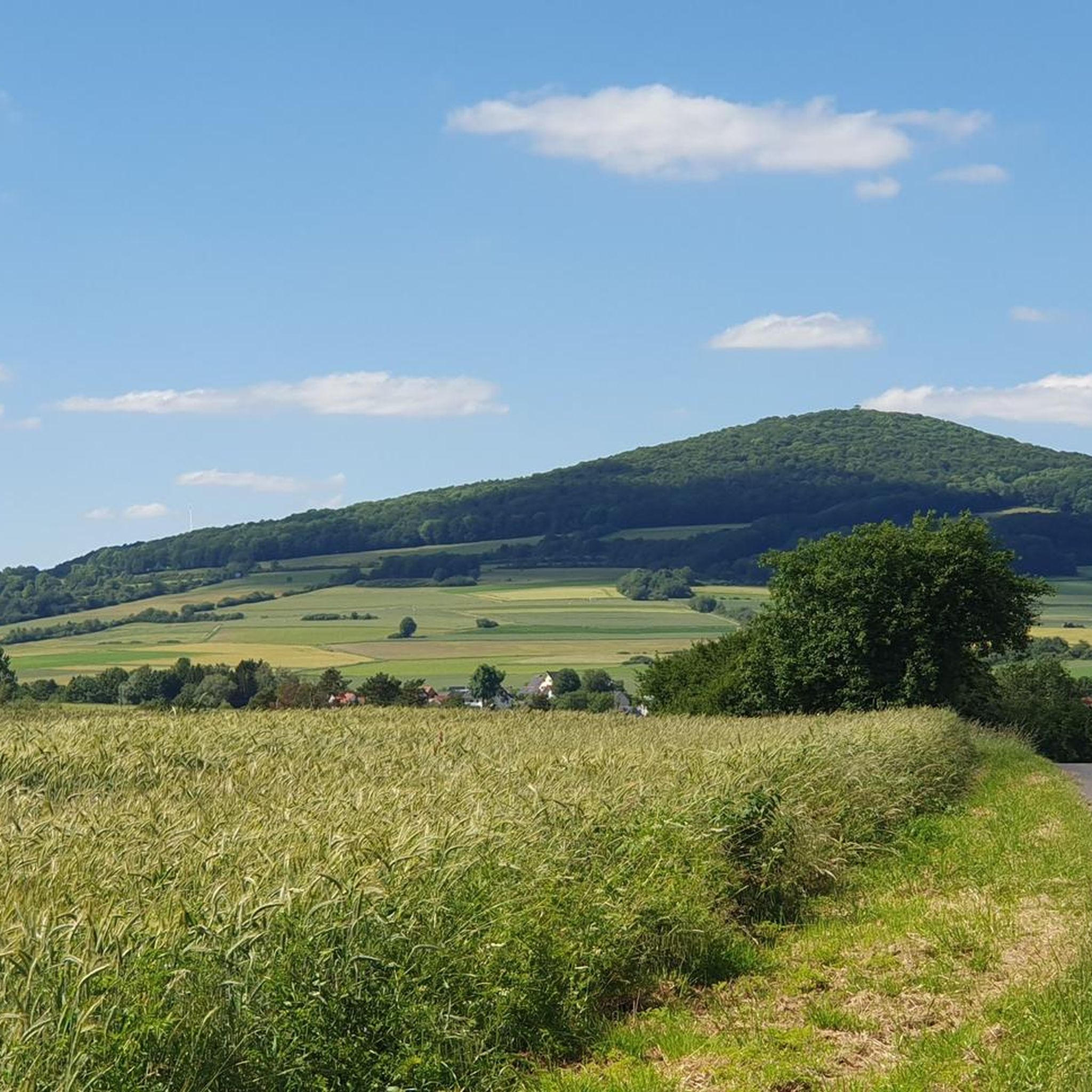
Touring cycling around Landkreis Fulda offers diverse landscapes, from the gentle river valleys to the more challenging ascents of the Rhön and Vogelsberg Mountains. The region is characterized by its unique volcanic formations, expansive plateaus, and meandering rivers like the Fulda. Well-developed cycling infrastructure connects picturesque towns with natural attractions, providing varied terrain for different cycling preferences. This area, nestled between the Rhön and Vogelsberg, features both wooded areas and open meadows.
Best touring cycling routes around Landkreis Fulda
- The most popular touring cycling route is Nüsttal Cycle Path, a 14.8 miles (23.8 km) trail that takes 1 hour 24 minutes to complete. This easy route follows the Nüsttal valley, offering a gentle ride through the landscape.
- Another top favourite among local touring cyclists is Milseburg Cycle Path – View of Bieberstein Castle loop from Hünfeld, a difficult 60.7 miles (97.7 km) path. This route traverses varied terrain, including sections of the Milseburg Cycle Path, with views of Bieberstein Castle.
- Local touring cyclists also love the Fulda Floodplain Landscape – Golfclub Hofgut Praforst loop from Fulda, a 31.1 miles (50.0 km) trail leading through the Fulda floodplain, often completed in about 3 hours 6 minutes.
- Touring cycling around Landkreis Fulda is defined by volcanic landscapes, river valleys, and wooded areas, with options ranging from flat, family-friendly paths to more challenging ascents in the Rhön. The network offers options for different ability levels.
- The routes in Landkreis Fulda are highly rated by the komoot community with an average score of 4.6 stars from over 15,000 reviews. More than 71,000 touring cyclists have used komoot to explore Landkreis Fulda's varied terrain.
Last updated: October 23, 2026
5.0
(4)
35
riders
23.8km
01:24
140m
330m
Easy bike ride. Mostly paved surfaces.
4.7
(534)
2,095
riders
91.4km
05:32
570m
570m
Hard bike ride. Very good fitness required. Mostly paved surfaces.

4.8
(253)
804
riders
95.1km
05:40
680m
680m
Hard bike ride. Very good fitness required. Mostly paved surfaces.
4.7
(273)
813
riders
50.4km
03:06
380m
380m
Hard bike ride. Good fitness required. You may need to push your bike for some segments of this route.
4.5
(195)
588
riders
47.4km
02:55
410m
410m
Moderate bike ride. Good fitness required. Mostly paved surfaces.
4.7
(146)
599
riders
Easy bike ride. Mostly paved surfaces.
4.6
(121)
547
riders
25.8km
01:34
130m
130m
Easy bike ride. Mostly paved surfaces.
4.6
(175)
453
riders
45.3km
02:49
440m
450m
Moderate bike ride. Good fitness required. Mostly paved surfaces.
4.6
(213)
578
riders
Easy bike ride. Mostly paved surfaces.
4.8
(205)
625
riders
116km
07:02
910m
910m
Hard bike ride. Very good fitness required. Mostly paved surfaces.
Get access to more routes and recommendations from other explorers.
Already have an account?
Our route recommendations are based on thousands of hikes, rides, and runs completed by other people on komoot.
Start today with a free account
Your next adventure awaits.




Other adventures around Landkreis Fulda


Tips from the Community

The Kaliberg (also called Monte Kali or Kalimandscharo) is a huge salt heap 🏔️✨, mainly consisting of rock salt and, with a height of about 190 meters and an area of 90 hectares, is one of the largest heaps of its kind in Germany. Around 125 million tons of residues from potash mining are stored on the plateau.
0
0
The former moated castle „Castrum Nuwenhof“ in Neuhof was an impressive medieval moated castle 🏰💧, built in the 13th century by the noble family von Nuenhov. It was strategically located in the valley of the Fliede river and later served the prince-abbots of Fulda as a secondary residence and administrative center. Fun Fact: The name „Castrum Nuwenhof“ means something like „New Court“ – an indication that the castle was an important stronghold in the region.
0
0

From many sides you can see the castle and it is always beautiful
0
0

Magnificently laid out shelter with a beautiful panoramic bench and a service station for bicycles.
0
0

New since 2026, there is a service station directly at the refuge where you can carry out minor repairs on your bike, as well as finally a waste container.
1
0

Visible from afar, Monte Kali – the spoil heap of the Neuhof potash mine – rises as an imposing landmark in the landscape. It now contains more than 125 million tons of spoil. From every direction, the mountain makes for a fantastic photo opportunity. https://www.kpluss.com/de-de/ueber-ks/standorte/europa/neuhof-ellers/monte-kali/index.html
2
0

The new hut is scheduled to open in April.
0
0

Fulda Cycle Path = Always beautiful!
0
0
Frequently Asked Questions
What kind of terrain can I expect when touring cycling in Landkreis Fulda?
Landkreis Fulda offers a diverse cycling landscape. You'll find gentle river valleys, particularly along the Fulda River, as well as more challenging ascents in the volcanic Rhön and Vogelsberg Mountains. The region features expansive plateaus, wooded areas, and open meadows, catering to various fitness levels and preferences.
Are there any easy touring cycling routes suitable for beginners or families?
Yes, there are several easy routes. The Nüsttal Cycle Path is an easy 14.8-mile (23.8 km) trail that follows the Nüsttal valley, offering a gentle ride. Another accessible option is the Probstei Johannesberg – Johannesberg Castle loop from Eichenzell, an easy 16.4-mile (26.4 km) route with minimal elevation changes. The Fulda Cycle Path (R1) is also generally characterized by few inclines, making it suitable for families and leisure cyclists.
Where can I find more challenging touring cycling routes in the region?
For more challenging rides, head towards the Rhön Mountains. Routes like the Milseburg Cycle Path – View of Bieberstein Castle loop from Hünfeld, a difficult 60.7-mile (97.7 km) path, traverse varied terrain with significant elevation. Another demanding option is the Milseburg Cycle Path – View of Bieberstein Castle loop from Rönshausen, which covers 72.1 miles (116.1 km) with nearly 1,000 meters of ascent.
Are there any circular touring cycling routes available?
Yes, many routes in Landkreis Fulda are designed as loops. For example, the Fulda Floodplain Landscape – Golfclub Hofgut Praforst loop from Fulda is a 31.1-mile (50.0 km) trail. Another circular option is the Fulda City Palace – Cathedral of St. Salvator in Fulda loop from Fulda, an easy 14.8-mile (23.9 km) route exploring the city's highlights.
What historical and cultural attractions can I see along the cycling routes?
Landkreis Fulda is rich in history and culture. You can cycle past the baroque quarter of Fulda, including the Fulda City Palace and the Fulda Cathedral. Routes also pass through charming medieval towns like Schlitz, and you can visit sites such as the Bad Hersfeld Abbey Ruins. Many routes offer views of impressive castles, including Bieberstein Castle and Fasanerie Palace.
Are there any routes that offer scenic viewpoints or natural landmarks?
Absolutely. The Rhön Mountains, a UNESCO Biosphere Reserve, offer unique volcanic landscapes with sweeping meadows and pristine beech forests. The Wasserkuppe, Hesse's highest mountain, provides panoramic views and is the source of the Fulda River. You can explore routes like the Wasserkuppe Summit – Milseburg Tunnel loop from Gersfeld (Rhön) for stunning vistas. The Vogelsberg Mountains, Europe's largest extinct volcano, also provide diverse and scenic cycling through wooded areas.
How many touring cycling routes are available in Landkreis Fulda?
There are over 2,400 touring cycling routes available in Landkreis Fulda, offering a wide variety of options for all skill levels and preferences. This includes over 500 easy routes, more than 1,000 moderate routes, and over 800 difficult routes.
What do other touring cyclists think about the routes in Landkreis Fulda?
The touring cycling routes in Landkreis Fulda are highly regarded by the komoot community, with an impressive average rating of 4.6 stars from over 15,000 reviews. More than 71,000 touring cyclists have used komoot to explore the region, often praising the diverse terrain and well-maintained paths.
Can I access cycling routes using public transport in Landkreis Fulda?
The region has a well-developed public transport network. While specific details for each route vary, many towns and starting points for popular cycle paths, especially along the Fulda River, are accessible by train or bus. It's advisable to check local transport schedules and bike carriage policies for your specific route.
Are there any routes that pass by lakes or water features?
Yes, the region is characterized by its rivers and some lakes. The Fulda River Valley is central to many cycling routes, with the Fulda Cycle Path (R1) following the river's course. The Pfordter See, a quarry lake in the Fulda floodplain, offers a pleasant scenic stop along some routes.
What is the best season for touring cycling in Landkreis Fulda?
The spring, summer, and early autumn months generally offer the most pleasant conditions for touring cycling in Landkreis Fulda. During these seasons, the weather is typically mild, and the landscapes are vibrant, making for enjoyable rides through meadows, forests, and river valleys. Always check the local weather forecast before heading out.
Are there any routes that include the Milseburg Cycle Path?
Yes, the Milseburg Cycle Path is a popular feature in the region. You can find routes that incorporate sections of it, such as the Haunetal Dam – Milseburg Cycle Path loop from Hofbieber, a moderate 28.4-mile (45.6 km) route. Another option is the Milseburg Tunnel – View of Bieberstein Castle loop from Rhön, a difficult 36.6-mile (58.9 km) ride.
Most popular routes around Landkreis Fulda
Most popular attractions around Landkreis Fulda

Get inspired with the komoot mobile app


Didn’t find what you were looking for?
Check out more Cycling routes throughout Landkreis Fulda below and find the perfect route in your destination.
Explore more
Browse the best Cycling routes in other regions.
