The best cycling routes around Abentheuer
4.6
(3010)
12,560
riders
331
rides
Touring cycling around Abentheuer is characterized by its location within the Hunsrück region, offering diverse terrain for cyclists. The area features uplands, forests, and river valleys, with routes often traversing through picturesque scenery. Notable natural features include the Erbeskopf, the highest peak in Rhineland-Palatinate, and the Bostalsee, a large artificial recreational lake.
Best touring cycling routes around Abentheuer
- The most popular touring cycling route is View of Birkenfeld – View of the Hunsrück Hills loop from Abentheuer, a 29.5…
Last updated: October 3, 2026
4.6
(23)
73
riders
47.5km
03:27
880m
880m
Hard bike ride. Very good fitness required. Mostly paved surfaces. Suitable for all skill levels.
4.8
(11)
60
riders
82.3km
06:23
1,480m
1,480m
Hard bike ride. Very good fitness required. You may need to push your bike for some segments of this route.

4.9
(18)
69
riders
40.0km
03:16
490m
490m
Hard bike ride. Very good fitness required. Mostly paved surfaces. Suitable for all skill levels.
4.6
(26)
94
riders
37.3km
02:17
330m
330m
Moderate bike ride. Good fitness required. Mostly paved surfaces. Suitable for all skill levels.
4.0
(2)
8
riders
34.9km
03:06
600m
600m
Hard bike ride. Very good fitness required. Mostly paved surfaces. Suitable for all skill levels.
Get access to more routes and recommendations from other explorers.
Already have an account?
Our route recommendations are based on thousands of hikes, rides, and runs completed by other people on komoot.
Start today with a free account
Your next adventure awaits.
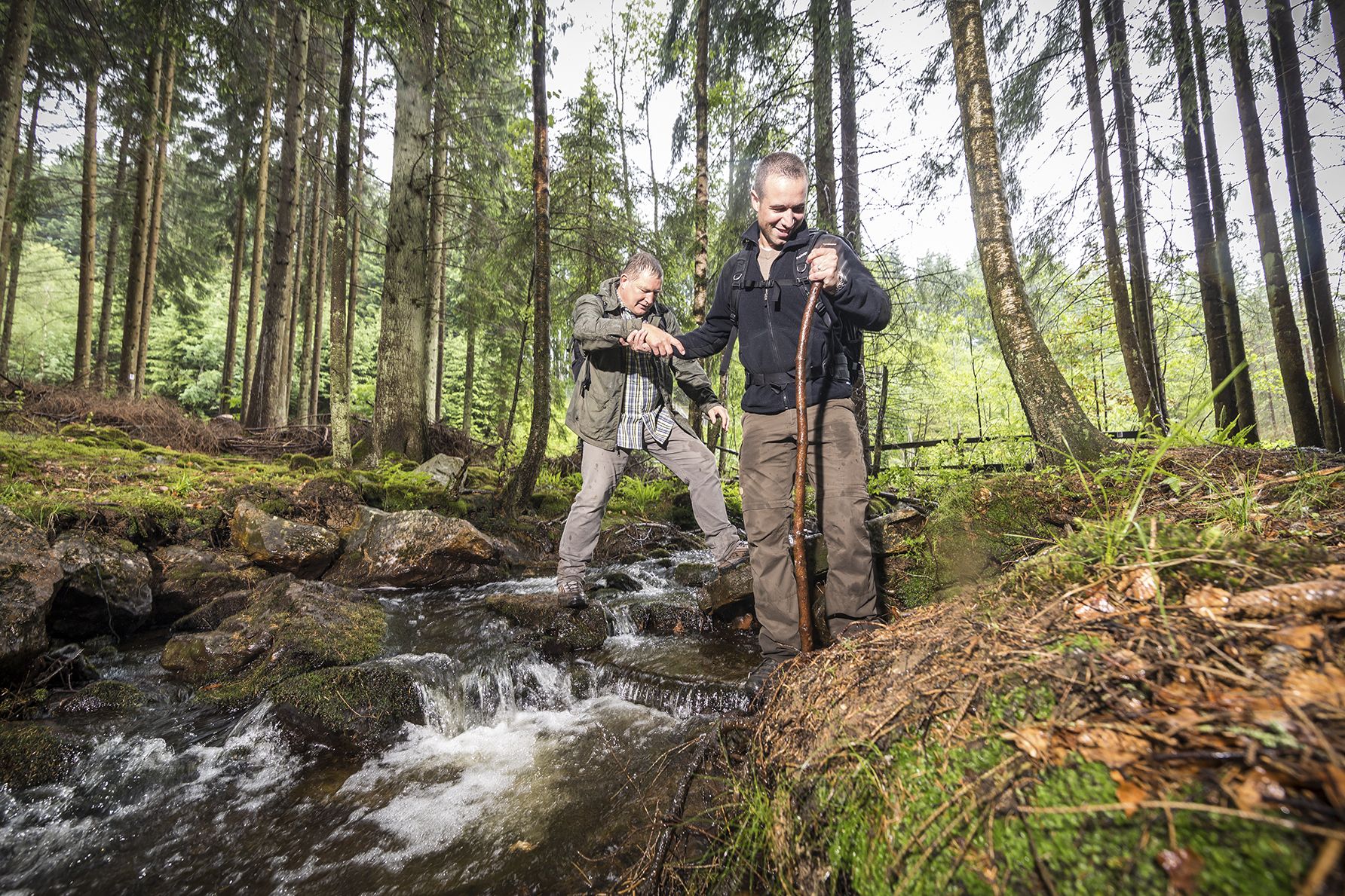
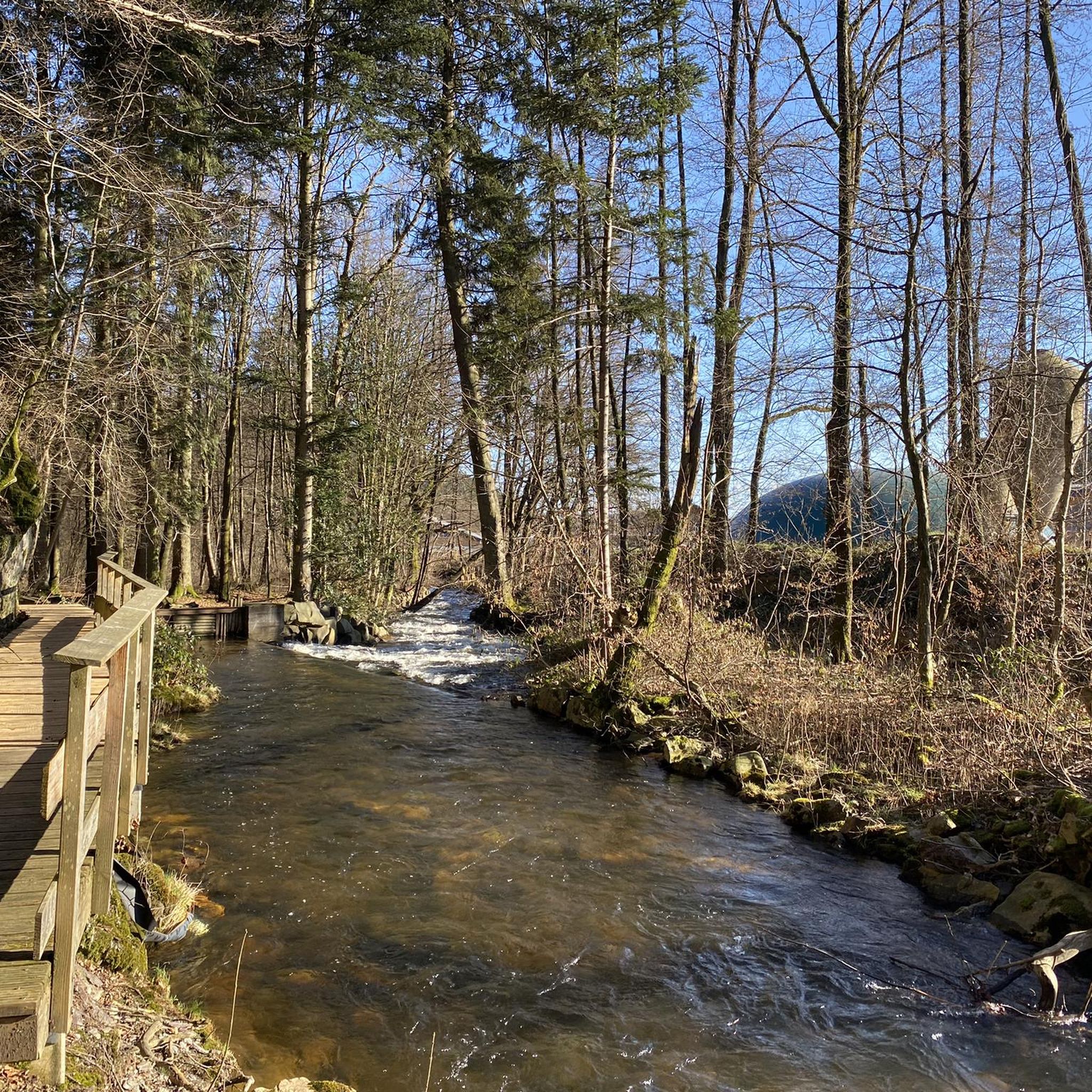
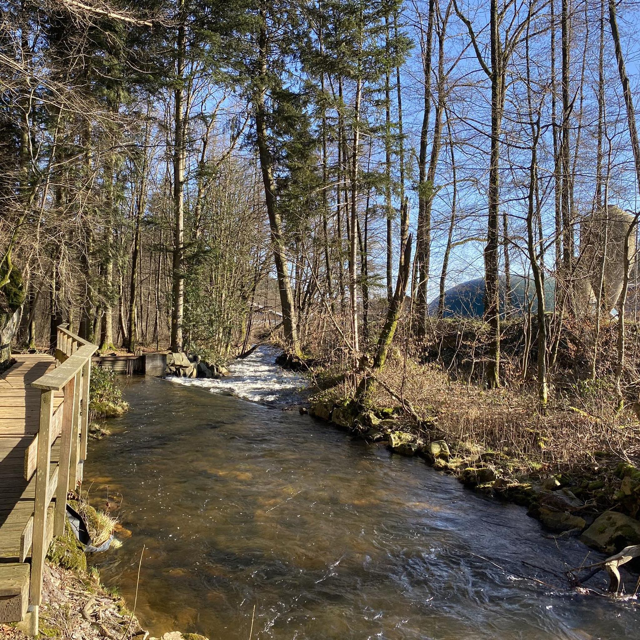
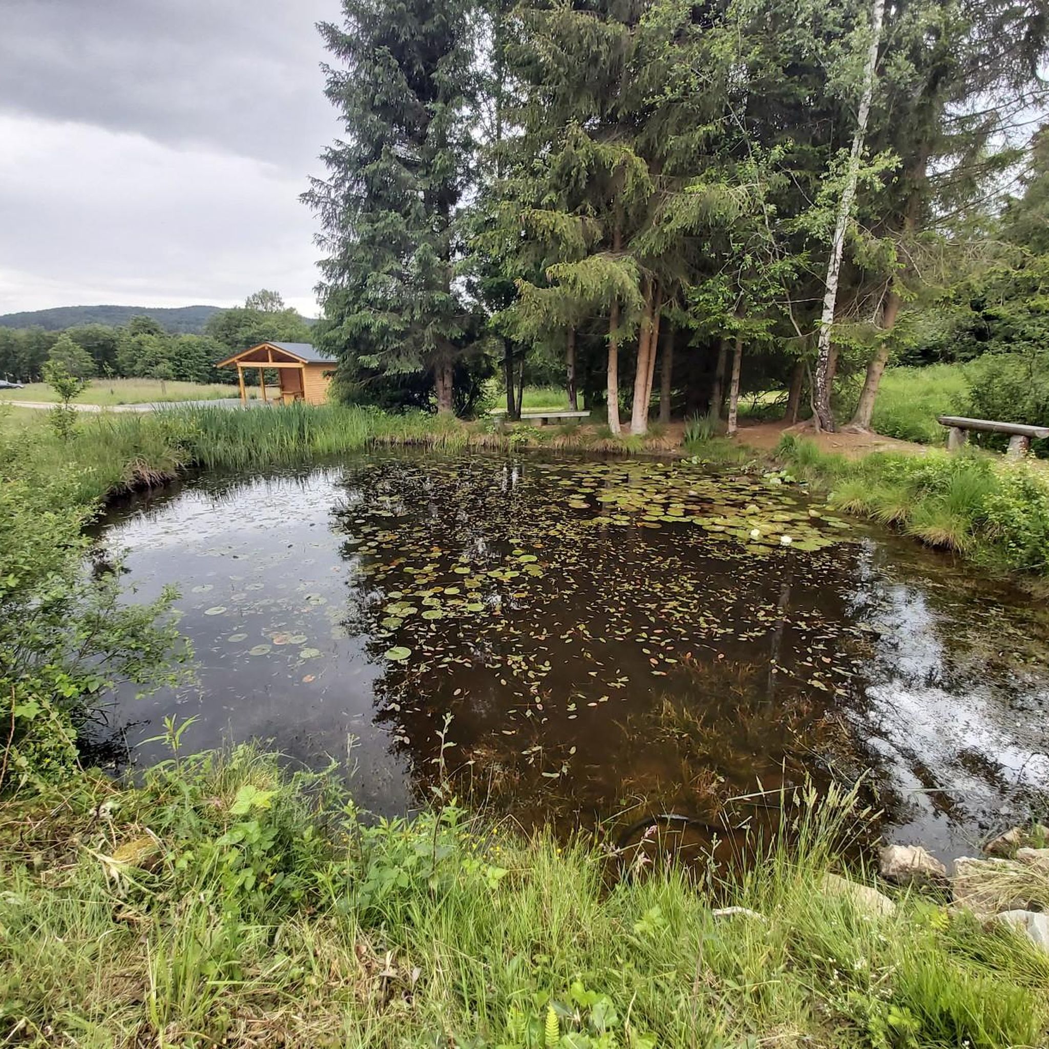
Other adventures around Abentheuer

Tips from the Community

A very beautiful place, very idyllic,
0
0

The reservoir is beautiful in every season… ideal for biking & hiking
0
0

the bostasee staudamm , circa 300 m long with benches overlooking the lake
1
0

A beautiful lake that can be perfectly circled on foot. You can park directly at the dam wall and one lap is about 8km.
1
0
A beautiful lake that is great to walk around. You can park directly at the dam, and a lap is approx. 8km.
1
0

Good paths, clearly signposted, very beautiful views and photo opportunities
0
0

The Roman god Mercury stands here amidst the greenery of Schwollen – with his purse and serpent-headed staff, symbols of trade, wealth, and his role as messenger of the gods. The figure serves as a reminder that the Romans were already active in this region, and that roads, goods, and messages once traveled through these valleys. Nestled among moss, ancient trees, and offering a view across the countryside, the statue appears almost like a silent guardian of the modern hiking trail. Tip: Take your time to read the information panel – it's especially fun with children to look for the statue's features (staff, purse, winged hat) and compare them with the description.
0
0

On the Sankt Wendeler Land Railway Cycle Route, a rest area with a historic carriage invites you to take a special break. The lovingly preserved carriage is a reminder of the route's railway past. Here, you can take a leisurely rest, enjoy a bite to eat, or simply enjoy the atmosphere.
4
0
Frequently Asked Questions
How many touring cycling routes are available around Abentheuer?
There are over 330 touring cycling routes around Abentheuer, offering a wide range of options for different skill levels and preferences. This includes 48 easy routes, 159 moderate routes, and 129 difficult routes.
What kind of landscapes can I expect to see while touring cycling near Abentheuer?
The region around Abentheuer, nestled in the Hunsrück, offers diverse landscapes. You'll cycle through uplands, extensive forests, and picturesque river valleys. Notable natural features include the Erbeskopf, the highest peak in Rhineland-Palatinate, and the large artificial recreational lake, Bostalsee, which features a paved circular path.
Are there any easy touring cycling routes suitable for beginners or families?
Yes, Abentheuer offers 48 easy touring cycling routes. A good option for a relaxed ride is the Wendlandt Holiday Apartment – Fischwaid Fishing Pond loop from Abentheuer, which is just over 13 km long with minimal elevation gain, making it ideal for an enjoyable outing.
What are the more challenging touring cycling routes like around Abentheuer?
For experienced touring cyclists seeking a challenge, there are 129 difficult routes. An example is the Pfaffenstraße – Nonnweiler Reservoir loop from Königsbachtal bei Neuhütten, a demanding 82 km path with over 1,400 meters of ascent, traversing varied terrain including the Nonnweiler Reservoir area.
Can I find circular touring cycling routes in the Abentheuer area?
Yes, many touring cycling routes around Abentheuer are designed as loops. For instance, the popular Nonnweiler Reservoir Loop – Nonnweiler Reservoir loop from Abentheuer is a 40 km circular trail that takes you around the scenic Nonnweiler Reservoir.
What kind of terrain will I encounter on the touring cycling routes?
The routes often feature a mix of road types, including asphalted forest paths, quieter secondary roads, and sometimes sections built on former railway lines (Bahnradwege), which offer gentle gradients. You can expect varied surfaces as you traverse through forests and valleys.
Are there any notable landmarks or viewpoints along the cycling routes?
Absolutely. You can discover several interesting points of interest. Consider visiting the Erbeskopf, the highest point in Rhineland-Palatinate, for expansive views. Another scenic spot is the View of Bostalsee from the dam. Historical sites like the Stone Steps on the Celtic Ring Wall (Hunnenring) are also accessible.
Are there any waterfalls I can see while cycling?
Yes, the region features some charming waterfalls. You might encounter the Small waterfall on the Haubertsbach or the Kleiner Röderbach Waterfall, offering picturesque natural stops along your ride.
What do other touring cyclists say about the routes around Abentheuer?
The touring cycling routes around Abentheuer are highly rated by the komoot community, with an average score of 4.6 stars from over 2,300 reviews. Cyclists often praise the varied terrain, the scenic views of the Hunsrück Hills, and the well-maintained paths that lead through forests and past reservoirs.
What is the best time of year for touring cycling in Abentheuer?
The Hunsrück region offers enjoyable cycling conditions throughout much of the year. Spring and autumn provide pleasant temperatures and beautiful foliage, while summer is ideal for longer days and exploring the Bostalsee. Always check local weather conditions before heading out.
Can I access touring cycling routes near Abentheuer using public transport?
The wider Eifel and Hunsrück regions are known for their 'Bahnradwege' (railway cycle paths), which often connect to towns with public transport links. While specific public transport access points for every route vary, these former railway lines can offer convenient starting points for car-free exploration.
Are there routes with significant elevation changes for a more strenuous ride?
Yes, many routes feature significant elevation changes. For example, the View of Birkenfeld – View of the Hunsrück Hills loop from Abentheuer, a 47.5 km route, includes over 870 meters of ascent, providing a good workout and rewarding views of the Hunsrück Hills.
Most popular routes around Abentheuer
Most popular attractions around Abentheuer

Get inspired with the komoot mobile app


Explore more
Browse the best Cycling routes in other regions.
