The best mountain hikes in Herne
5.0
(1)
5
hikers
3
hikes
Mountaineering routes in Herne offer diverse experiences within the Ruhr Region, characterized by a mix of urban green spaces, reclaimed industrial landscapes, and local hills. The terrain includes paths around water bodies like Kemnader See and trails ascending former slag heaps, which provide elevated viewpoints. These routes typically feature moderate elevation changes, making them accessible for various skill levels.
Best mountaineering routes in Herne
- The most popular mountaineering route is View of Kemnader See – Heveney Harbor loop from Brenscheder…
Last updated: October 10, 2026
1
hikers
15.0km
04:08
250m
250m
Moderate mountaineering route. Good fitness required. Easily-accessible paths. Suitable for all skill levels.
5.0
(1)
1
hikers
11.4km
03:04
150m
150m
Moderate mountaineering route. Good fitness required. Easily-accessible paths. Suitable for all skill levels.

3
hikers
Moderate mountaineering route. Good fitness required. Easily-accessible paths. Suitable for all skill levels.
5.21km
01:21
30m
30m
Easy mountaineering route. Great for any fitness level. Easily-accessible paths. Suitable for all skill levels.
Our route recommendations are based on thousands of hikes, rides, and runs completed by other people on komoot.
Start today with a free account
Your next adventure awaits.
Popular around Herne
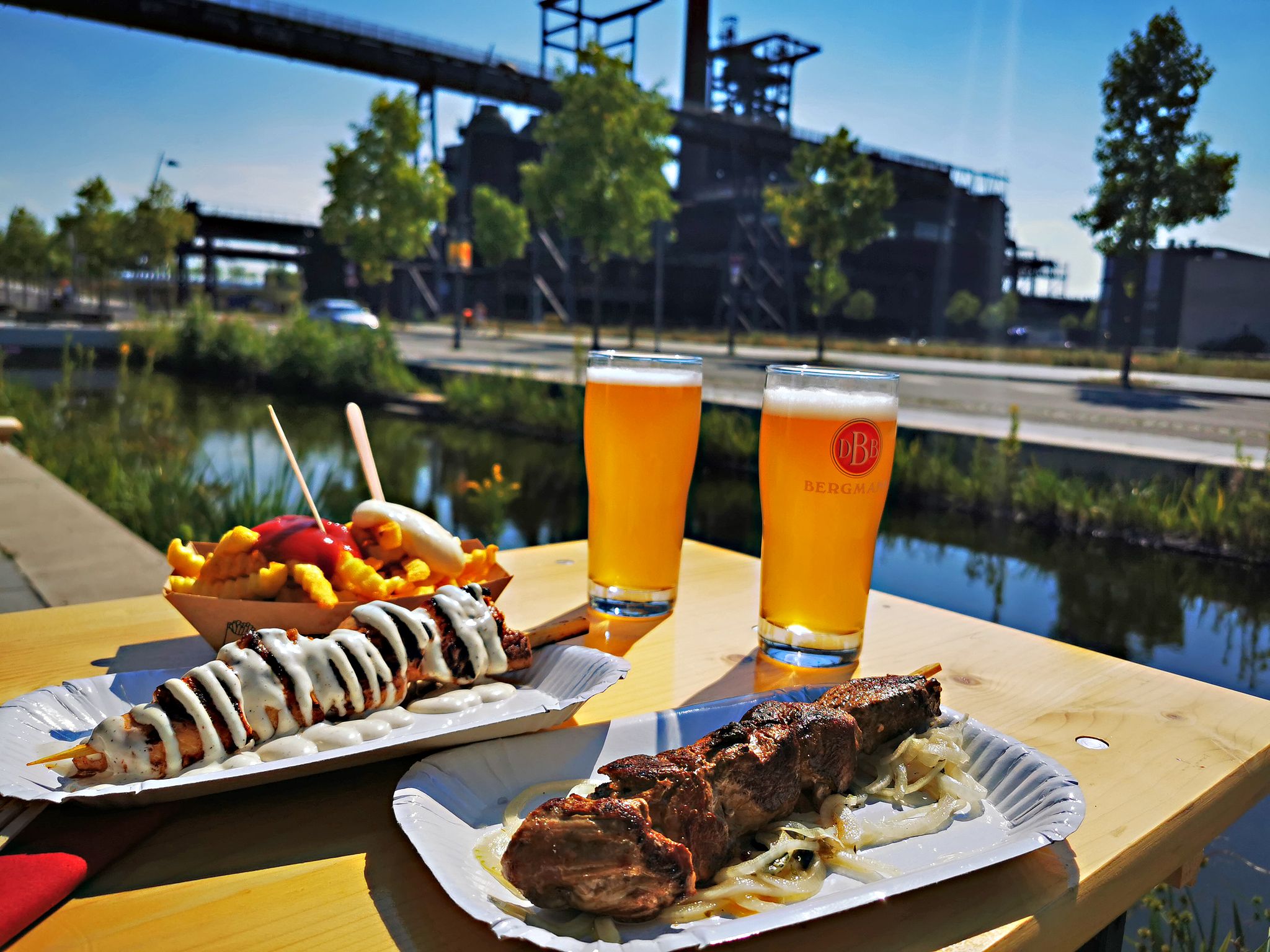
Long live the break – bike tours with beer gardens & culinary delights
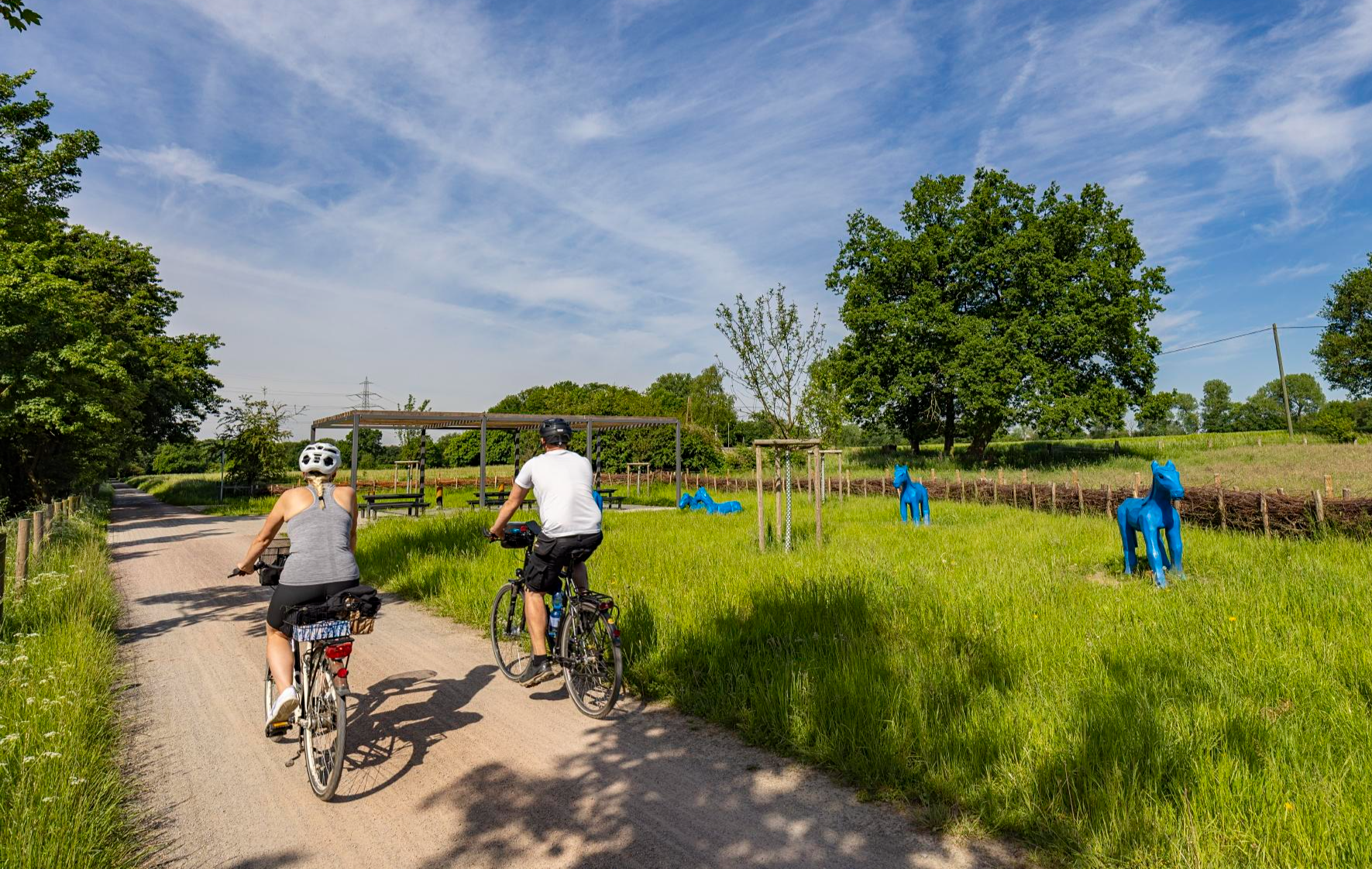
Healthy cycling on Germany’s Emscher River
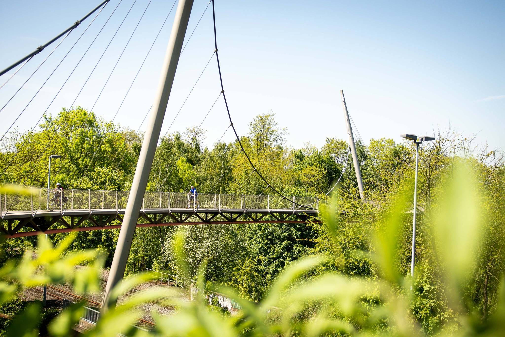
The most beautiful railway cycle paths in the Ruhr area (north/northeast)
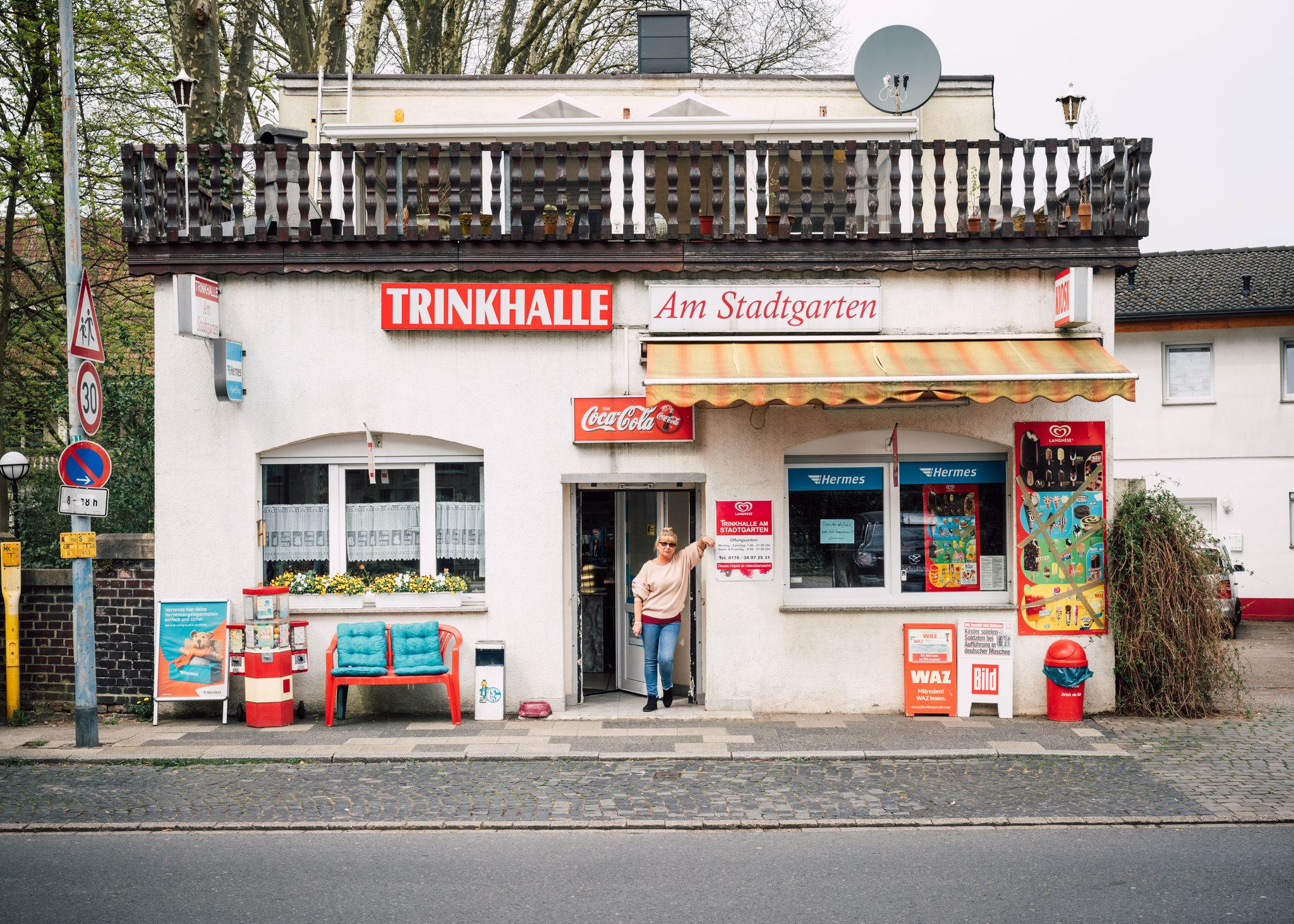
Tour de Trinkhalle: The 19 most iconic kiosks in the Ruhr area

Mit Rosbacher auf Tour im Ruhrgebiet
Cycling in Herne
Hiking in Herne
Road Cycling Routes in Herne
Running Trails in Herne
MTB Trails in Herne
Other adventures in Herne


Tips from the Community

In 2001, the hard coal mine Zeche Ewald was closed after more than 150 years of operation. Today it is a location for leisure, culture, vintage car culture (Motorworld) and events. The two former headframes bear witness to the industrial past. From the Hoheward spoil heap, you have photogenic views of the two headframes.
0
0

"About 40 meters above the Ruhr River, the historic Steele City Garden invites visitors to stroll and relax on its 4.2 hectares – and, of course, to enjoy the view of the Ruhr Valley. On the opposite bank of the river lies the Überruhr-Hinsel district with its 'House Under the Rainbow,' a facility for assisted living on the Gewalterberg hill. Downstream, the Spillenburg weir can be seen. In this 204-hectare drinking water catchment area, 50 million cubic meters of water are extracted annually. The light blue swimming pool below the City Garden belongs to the Steele 11 swimming club, which has been welcoming swimmers and bathers here since 1911." https://www.essen.de/dasistessen/leben_im_gruenen_/aktiv_im_gruenen/essener_aussichten_.de.html
1
0

The ship's pier with restaurants in the immediate vicinity.
0
0

With the current vegetation, the outlook here is limited. Essener Aussichten No. 15 FÜNFKIRCHENBLICK, GPS: 51.43758, 7.05881, is located ~550 m southwest of here on the path of the same name (.https://www.komoot.com/de-de/highlight/2917039 .).
0
0

A wonderful route during the week, especially in the morning or at sunset. You should avoid weekends, especially when the weather is nice. The trails are crowded then.
0
0
GPS: 51.44343, 7.06787 Steeler Stadtgarten Schnütgenstraße, Steele Around 40 meters above the Ruhr River, the historic Steele Stadtgarten (Steeler City Garden) invites you to stroll and relax on 4.2 hectares of land – and, of course, to enjoy the view of the Ruhr Valley. On the opposite side of the river is the Überruhr-Hinsel district with its Haus unterm Regenbogen (Rainbow House), an assisted living facility on the Gewalterberg hill. Downstream, you can see the Spillenburg Weir. 50 million cubic meters of water are extracted annually from the 204-hectare drinking water area. The light blue swimming pool below the Stadtgarten belongs to the Steele 11 swimming club, which has been inviting people to swim and bathe here since 1911. https://www.essen.de/dasistessen/leben_im_gruenen_/aktiv_im_gruenen/essener_aussichten_.de.html
0
0

From here you have a great view of the mine.
3
0

Dusk is falling as I cross the Ruhr on the Konrad Adenauer Bridge. The river is still carrying a fair amount of water, so it is questionable whether the path through the Holthauser Ruhraue is clear. It is not just the less tempting alternatives that lead me into the floodplain, the path is clear and I can enjoy the proximity to the river once again at blue hour. And then I treat myself to a break.
0
0
Frequently Asked Questions
What kind of terrain can I expect on mountaineering routes in Herne?
Mountaineering in Herne offers a unique blend of urban green spaces, reclaimed industrial landscapes, and local hills. You'll find paths around water bodies like Kemnader See, trails through parks such as Ludwig Kessing Park, and ascents of former slag heaps that provide elevated viewpoints. The routes generally feature moderate elevation changes, making them accessible for various skill levels.
Are there any easy mountaineering routes suitable for beginners in Herne?
Yes, Herne offers routes suitable for beginners. For an easier experience, consider the Eiscafé Il Gelato Suderwich loop from NSG Becklemer Busch. This route is approximately 5.2 km long and takes about 1 hour 21 minutes to complete, offering gentle terrain.
How long do mountaineering trails in Herne typically take to complete?
The duration of mountaineering trails in Herne varies depending on the route and your pace. For example, the View from Hoheward Slag Heap – Sundial Obelisk with View loop from NSG Hertener Emscherbruch can be completed in about 2 hours 27 minutes, while the longer View of Kemnader See – Heveney Harbor loop from Brenscheder Straße typically takes around 4 hours 3 minutes.
Are there any circular mountaineering routes in Herne?
Many of the mountaineering routes in Herne are designed as loops, offering convenient circular experiences. Examples include the View of Kemnader See – Heveney Harbor loop from Brenscheder Straße, the Ludwig Kessing Park loop from Steele, and the View from Hoheward Slag Heap – Sundial Obelisk with View loop from NSG Hertener Emscherbruch.
What are some scenic viewpoints along the trails in Herne?
Herne's unique landscape, particularly its reclaimed industrial areas, offers several scenic viewpoints. The View from Hoheward Slag Heap – Sundial Obelisk with View loop from NSG Hertener Emscherbruch provides panoramic views from the Hoheward Slag Heap. Additionally, routes around Kemnader See offer picturesque lake views.
What do other mountaineers enjoy most about the routes in Herne?
The mountaineering routes in Herne are highly rated by the komoot community, with an average score of 5.0 stars. Reviewers often praise the diverse experiences, from tranquil paths around water bodies to the unique elevated perspectives from former slag heaps, and the well-maintained trails through urban green spaces.
Are there any historical sites or attractions near the mountaineering routes in Herne?
Yes, Herne has several interesting historical sites and attractions. You might consider visiting Strünkede Castle and Emschertal Museum, or exploring the Ruins of Haus Crange. The region also features industrial heritage sites like the Herne East Lock along the Rhein-Herne Canal.
What is the best season for mountaineering in Herne?
Herne's mountaineering routes are generally enjoyable throughout the year. Spring and autumn offer pleasant temperatures and vibrant scenery, while summer provides longer daylight hours. Even in winter, the moderate terrain can be suitable for hiking, though conditions may vary, especially on elevated sections like slag heaps.
Are the mountaineering routes in Herne suitable for families?
Many of Herne's routes, particularly those with moderate elevation changes and through urban parks or around lakes, are suitable for families. The Eiscafé Il Gelato Suderwich loop from NSG Becklemer Busch is an easy option that could be a good choice for families looking for a shorter, less strenuous walk.
Are dogs allowed on the mountaineering trails in Herne?
Generally, dogs are welcome on many of the public trails and green spaces in Herne, provided they are kept on a leash and owners clean up after them. It's always a good idea to check local signage for specific regulations in parks or nature reserves you plan to visit.
Are there places to eat or have a coffee near the mountaineering routes?
Given Herne's urban and semi-urban setting, you'll find various cafes and eateries in proximity to many trailheads and along routes, especially those passing through town centers or near popular attractions like Kemnader See. The Eiscafé Il Gelato Suderwich loop from NSG Becklemer Busch even has 'Eiscafé Il Gelato' in its name, suggesting a refreshment stop.
Most popular routes in Herne
Most popular attractions in Herne

Get inspired with the komoot mobile app


Explore more
Browse the best Mountain Hikes & Routes in other regions.
