The best walks and hikes around Mörbylånga
4.5
(312)
1,186
hikers
57
hikes
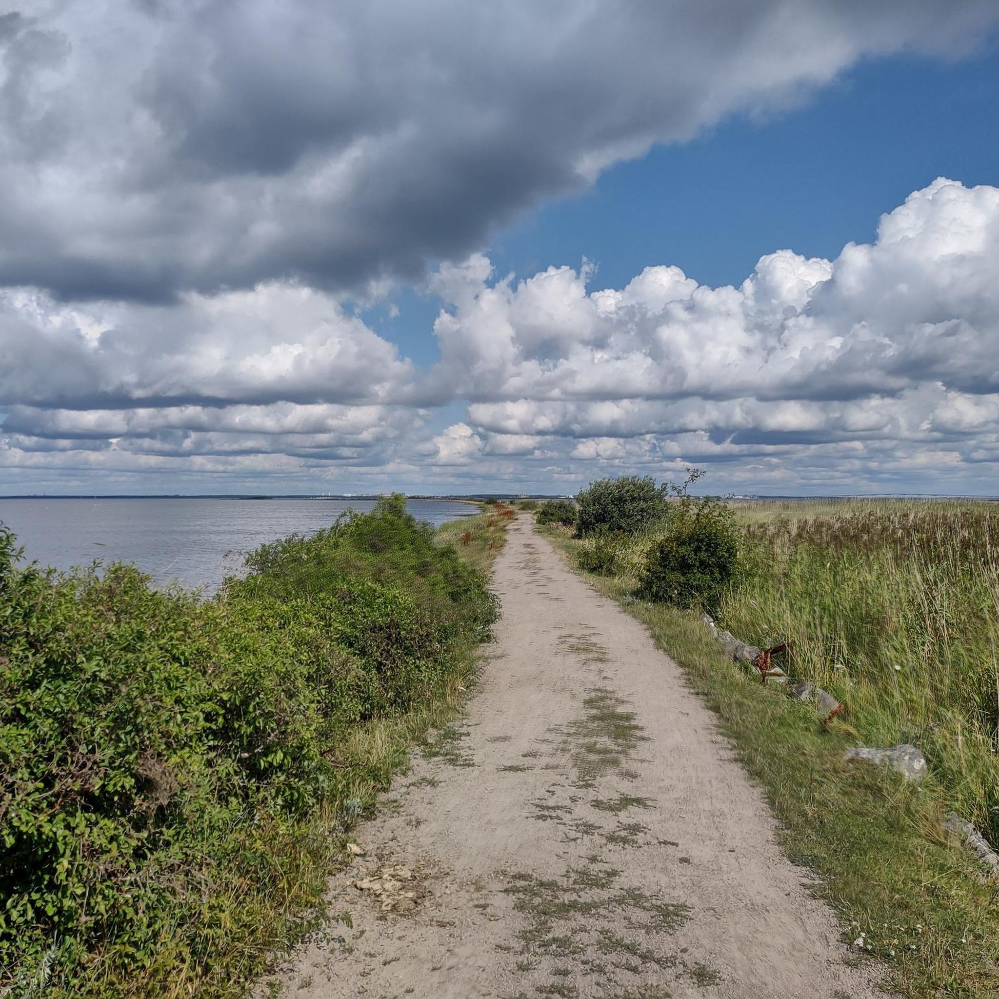
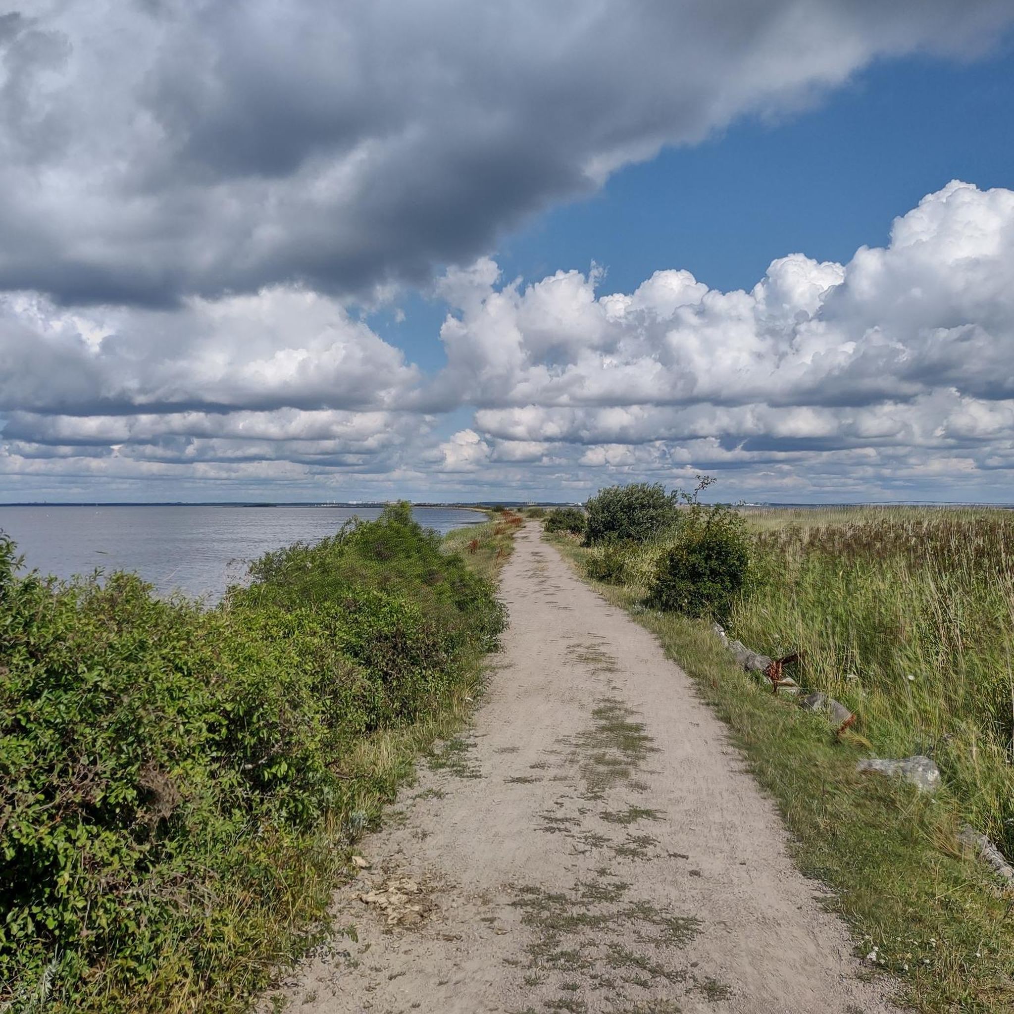
Hiking around Mörbylånga offers diverse natural landscapes on Öland, Sweden. The region is characterized by unique geological formations such as the vast, treeless limestone pavement of Stora Alvaret and the extensive deciduous forest of Mittlandsskogen. Trails also traverse herbaceous seaside pastures, sandy cliffs, and shingle beaches, providing varied terrain for outdoor activities. This blend of features creates a distinct environment for hiking.
Best hiking trails around Mörbylånga
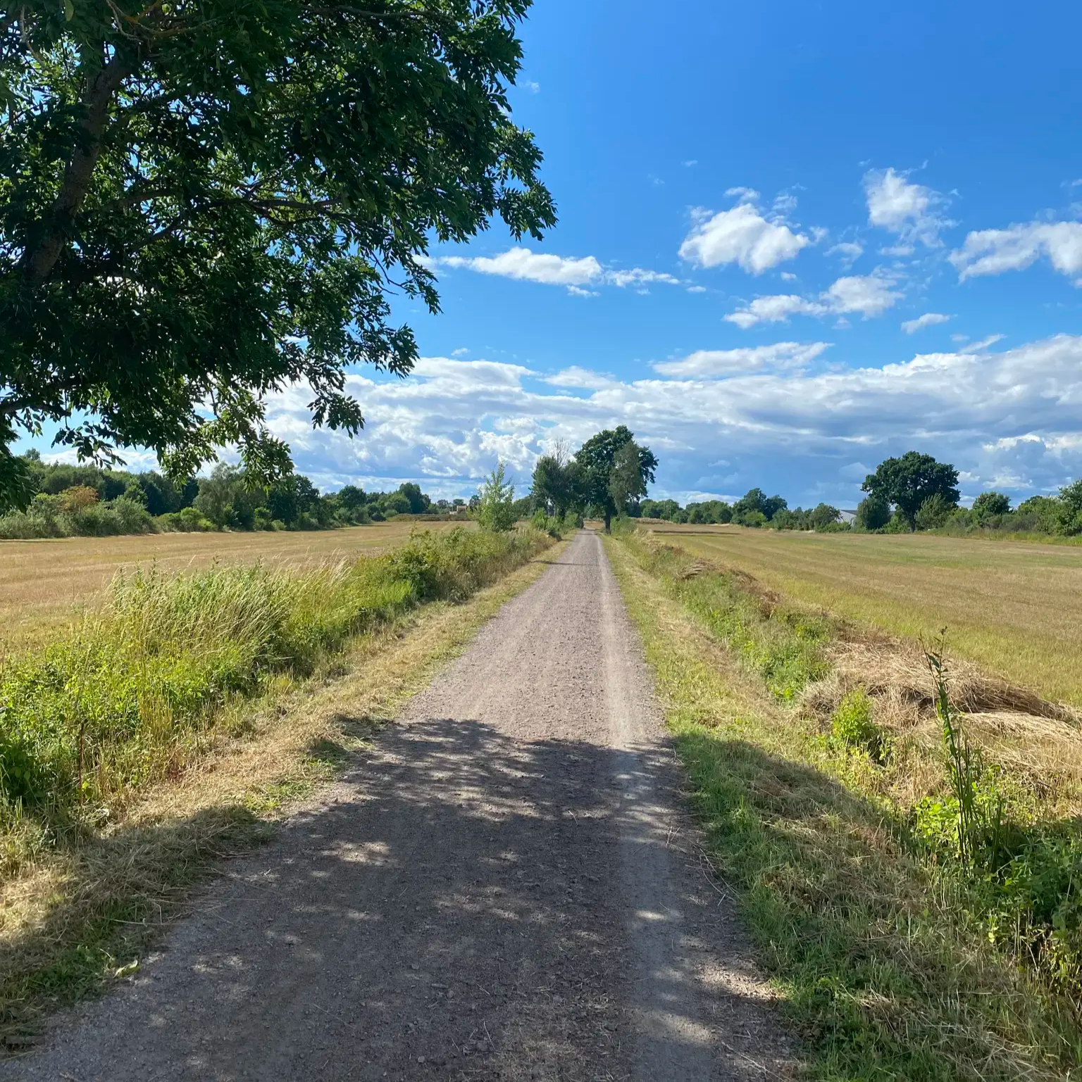
- The most popular hiking route is Bårby Källa hiking path, a 3.6 miles (5.8 km) trail that takes 1 hour 28 minutes to complete. This easy path traverses forests and meadows, offering accessible natural exploration.
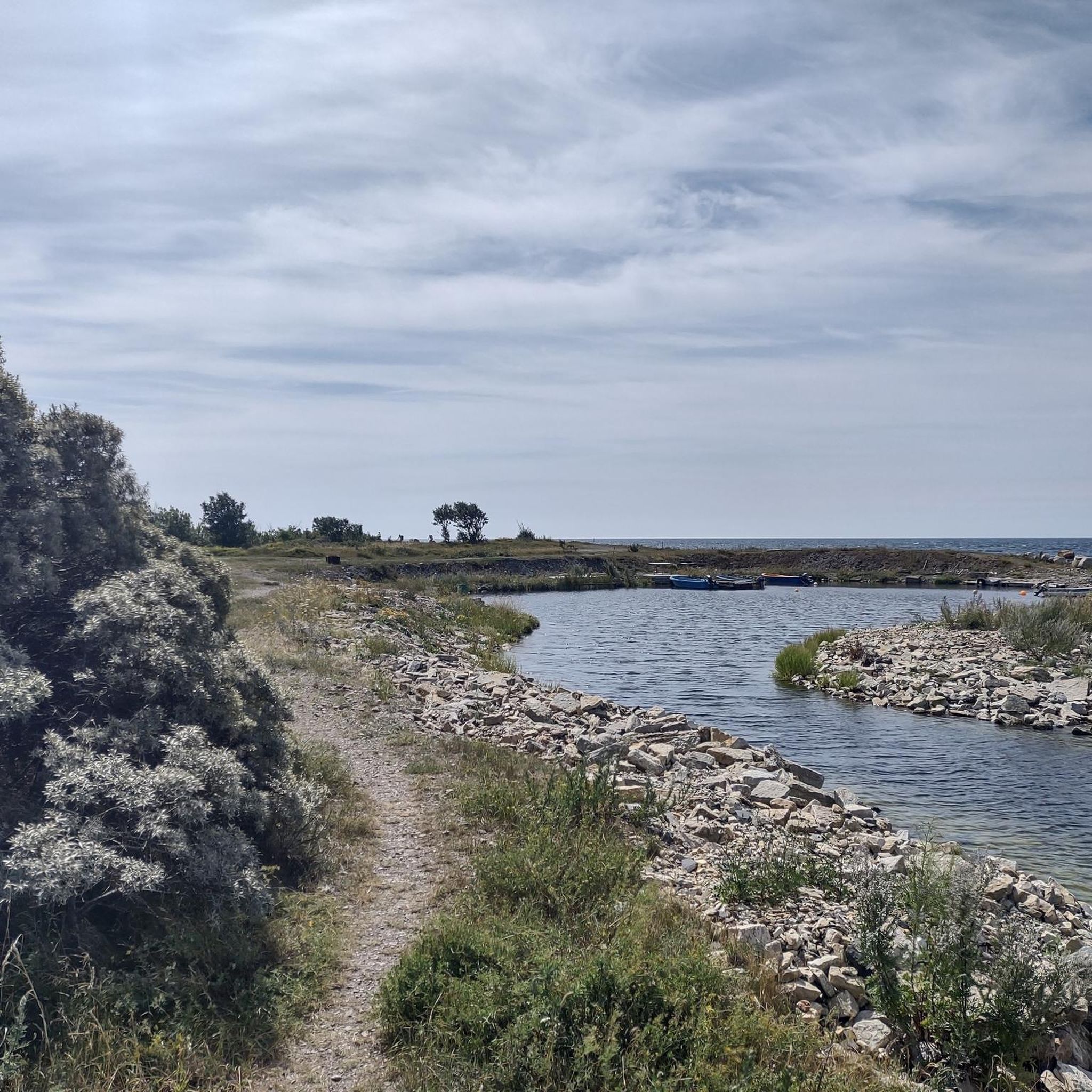
- Another top favourite among local hikers is Gösslunda Trail, an easy 4.3 miles (7.0 km) path. This route leads through diverse terrain, including sections of the Mittlandsskogen.
- Local hikers also love the Dröstorp hiking trail, a 4.5 miles (7.3 km) trail leading through areas with historical significance, often completed in about 1 hour 50 minutes.
- Hiking around Mörbylånga is defined by the unique limestone pavement of Stora Alvaret, the dense deciduous forests of Mittlandsskogen, and scenic coastal paths. The network offers options for various ability levels, from easy walks to more challenging routes.
- The routes in Mörbylånga are highly rated by the komoot community with an average score of 4.5 stars from over 260 reviews. More than 1000 hikers have used komoot to explore Mörbylånga's varied terrain.
Last updated: August 19, 2026
4.6
(67)
261
hikers
5.82km
01:28
10m
10m
Easy hike. Great for any fitness level. Easily-accessible paths. Suitable for all skill levels.
4.5
(34)
130
hikers
7.00km
01:46
10m
10m
Easy hike. Great for any fitness level. Easily-accessible paths. Suitable for all skill levels.

Sign up for free
4.7
(13)
36
hikers
9.52km
02:25
20m
20m
Moderate hike. Good fitness required. Easily-accessible paths. Suitable for all skill levels.
4.9
(11)
38
hikers
7.29km
01:51
10m
10m
Easy hike. Great for any fitness level. Easily-accessible paths. Suitable for all skill levels.
4.6
(12)
39
hikers
3.80km
00:58
10m
10m
Easy hike. Great for any fitness level. Easily-accessible paths. Suitable for all skill levels.
Get access to more routes and recommendations from other explorers.
Sign up for free
Already have an account?
Our route recommendations are based on thousands of hikes, rides, and runs completed by other people on komoot.
Start today with a free account
Your next adventure awaits.
Login or Signup
Other adventures around Mörbylånga

Tips from the Community

Great view along the coast to the lighthouse. Built in 1785, most likely by Russian prisoners of war, it's one of Sweden's most famous lighthouses.
0
0
Orminge pipe, an imposing limestone tower, was built to help ships navigate along the coast. It's built on an Iron Age site, and was once the seat of a farming clan.
2
1
This is the opening stretch of the Dröstorp vandringsled hiking path. It's a beautiful walk through numerous different environments, and dry and wet meadows. The flora is also wonderfully varied.
0
0
Dröstorp village was established around the end of the 17th century and was abandoned at the end of the 19th century. Traces of graves and mounds to the southwest of the village site suggest that the area was inhabited as far back as the Iron Age.
1
0
Beautiful stone table amidst the stunning landscape, and positioned between two burial cairns. Perfect for a quick rest or a picnic. If you're following the Gösslunda path loop, it's best to travel in an anticlockwise direction.
2
0
Careful where you place your feet whike walking across the cracked limestone slabs. Karst cracks are formed when acidic rainwater drains through through joints in limestone bedrock.
0
0
Watch your feet whilke navigating across the cracked limestone slabs. If you're following the Bårby Källa hiking path, it's best to do the loop in a counterclockwise direction, as the cairns which mark the trail are easier to spot.
3
0
Beautiful Alvar landscape.The path follows small ridgestones and plateaus mainly across limestone rocks. After the snowy season or significant rainful the trail can become waterlogged.
0
0
Frequently Asked Questions
What types of landscapes can I expect to see while hiking in Mörbylånga?
Mörbylånga offers a diverse range of landscapes. You can explore the unique, treeless limestone pavement of Stora Alvaret, wander through the extensive deciduous forest of Mittlandsskogen, and enjoy scenic coastal paths along herbaceous seaside pastures, sandy cliffs, and shingle beaches. This variety provides a rich hiking experience.
Are there any long-distance hiking trails in the Mörbylånga area?
Yes, the prominent long-distance trail is the Mörbylångaleden, which spans over 80 km. It offers a comprehensive experience of the region's natural beauty and cultural history, divided into five stages. Sections of this trail traverse the unique Stora Alvaret and the Mittlandsskogen.
What are the difficulty levels of hiking trails around Mörbylånga?
The trails around Mörbylånga cater to various fitness levels. There are 31 easy trails, 21 moderate trails, and 2 difficult trails. This means you can find everything from gentle walks through forests and meadows to more challenging routes.
Are there any family-friendly hiking options in Mörbylånga?
Yes, many trails are suitable for families. For an easy and accessible option, consider the Bårby Källa hiking path, which is 5.8 km long and takes about 1 hour 28 minutes to complete, traversing forests and meadows. Another great choice is the Gösslunda Trail, an easy 7.0 km path through diverse terrain.
Can I bring my dog on the hiking trails in Mörbylånga?
Generally, dogs are welcome on trails in Mörbylånga, but it's always recommended to keep them on a leash, especially in nature reserves or areas with livestock, to protect wildlife and ensure safety. Always check local signage for specific regulations.
Are there any circular hiking routes available?
Yes, there are several circular routes. One example is the Mittlandsleden loop: Gråborg to Jordtorpsåsen, a moderate 9.5 km trail that takes you through varied landscapes, including parts of the Mittlandsskogen.
What interesting landmarks or natural features can I see along the trails?
Mörbylånga's trails offer a wealth of sights. You might encounter historical sites like the Karlevi Stone or the Ismanstorp Fortress Ruins. Nature lovers can visit the Öland’s Southern Cape Birdwatching Point or admire the Ancient Oaks in Ottenby Lund. The region also features artistic sculptures integrated into the landscape along the Mörbylångaleden.
Are there any accessible hiking trails for wheelchairs or strollers?
Yes, there is an accessibility-adapted section of the Mörbylångaleden between Penåsa and Skärlöv. This section follows an old railway bank with a hard gravel surface, making it suitable for wheelchair hiking. It also features a disabled toilet and accessible seating at the Penåsa parking lot.
What do other hikers enjoy most about hiking in Mörbylånga?
The hiking routes in Mörbylånga are highly rated by the komoot community, with an average score of 4.5 stars from over 260 reviews. Hikers often praise the unique blend of landscapes, from the vast Stora Alvaret to the dense Mittlandsskogen, and the well-maintained paths that offer a variety of experiences for all skill levels.
What is the best time of year to go hiking in Mörbylånga?
The best time to hike in Mörbylånga is generally during the spring, summer, and early autumn months. Spring brings blooming wildflowers, especially on the Alvaret. Summer offers pleasant temperatures for exploring, and autumn showcases beautiful fall foliage in the deciduous forests. Always be prepared for changing weather conditions.
Are there facilities like resting places or toilets along the trails?
Yes, particularly along the Mörbylångaleden, you can find amenities designed for hikers. These include wind-sheltered resting places, basic toilets, and designated fireplaces, enhancing comfort during longer treks.
How many hiking trails are there in Mörbylånga?
There are over 50 hiking trails around Mörbylånga, offering a wide range of options for different preferences and fitness levels. This includes 31 easy, 21 moderate, and 2 difficult routes.
Most popular attractions around Mörbylånga

Get inspired with the komoot mobile app


Explore more
Browse the best Hikes in other regions.
