The best walks and hikes around Nordanstig
4.6
(42)
174
hikers
15
hikes
Hiking around Nordanstig, Sweden, offers a diverse range of landscapes, blending a significant coastline with mountainous and forested terrain. The region features high mountains, old forest trails, and valleys, with elevations reaching up to 330 meters above sea level. Nordanstig also encompasses wetlands, numerous lakes, and rivers, providing varied environments for outdoor exploration. The topography includes extensive sandy beaches, vast forests, and winding valleys.
Best hiking trails around Nordanstig
- The most popular hiking route is Sörfjärden Beach – Bench on…
Last updated: July 10, 2026
4.6
(7)
33
hikers
8.20km
02:06
30m
30m
Moderate hike. Good fitness required. Easily-accessible paths. Suitable for all skill levels.
4.6
(7)
31
hikers
Moderate hike. Good fitness required. Easily-accessible paths. Suitable for all skill levels.

Sign up for free
4.5
(2)
6
hikers
Moderate hike. Good fitness required. Easily-accessible paths. Suitable for all skill levels.
3.5
(2)
5
hikers
10.3km
02:42
80m
80m
Moderate hike. Good fitness required. Easily-accessible paths. Suitable for all skill levels.
5.0
(2)
10
hikers
4.77km
01:15
30m
30m
Easy hike. Great for any fitness level. Easily-accessible paths. Suitable for all skill levels.
Get access to more routes and recommendations from other explorers.
Sign up for free
Already have an account?
Our route recommendations are based on thousands of hikes, rides, and runs completed by other people on komoot.
Start today with a free account
Your next adventure awaits.
Login or Signup
Popular around Nordanstig
Tips from the Community

Sörfjärden Beach is a peaceful, sandy shore framed by gentle dunes and clear waters, an ideal spot for swimming, sunbathing, or a quiet stroll. Enjoy wide views, plenty of birdlife, and a relaxed atmosphere that makes it easy to unwind and reconnect with nature.
0
0
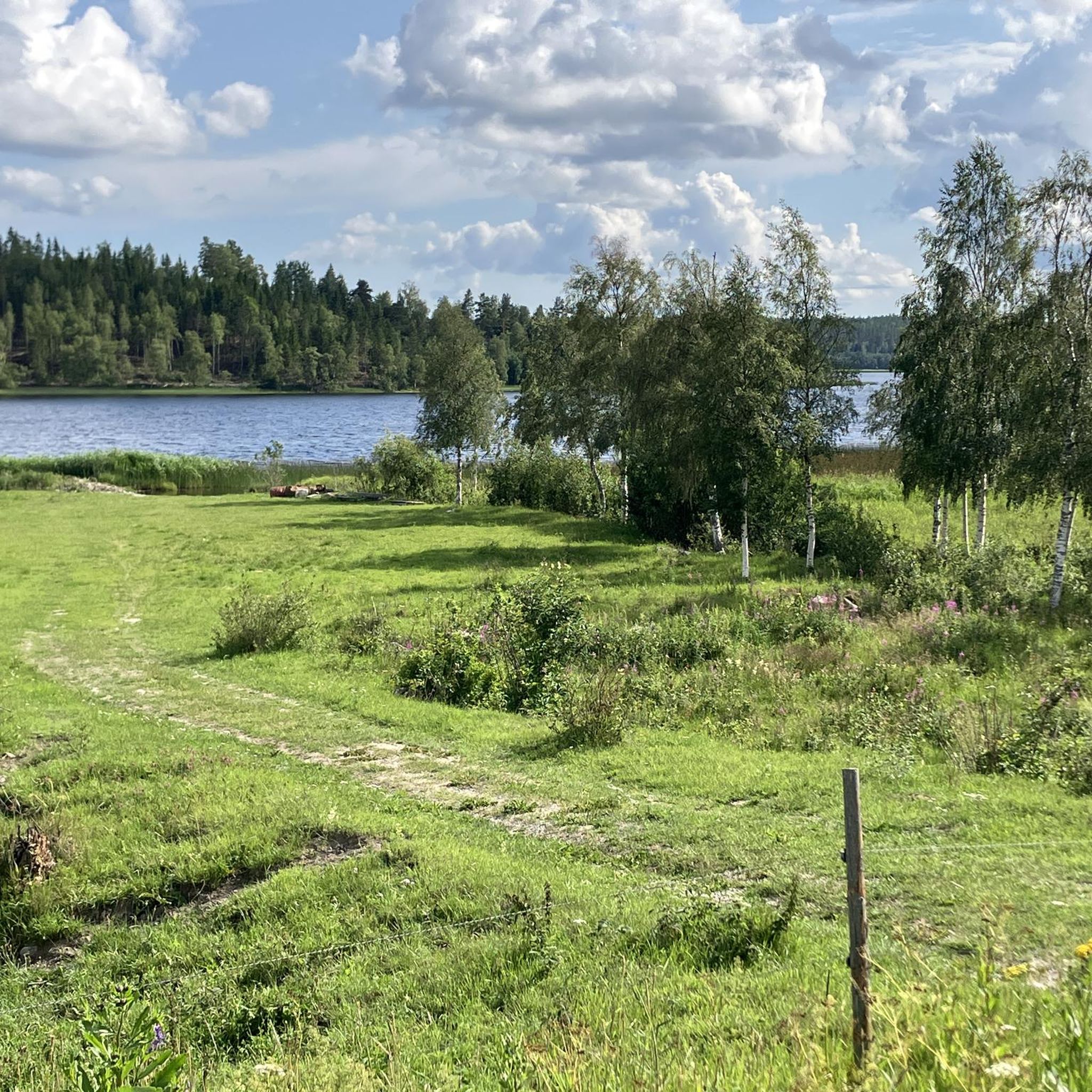
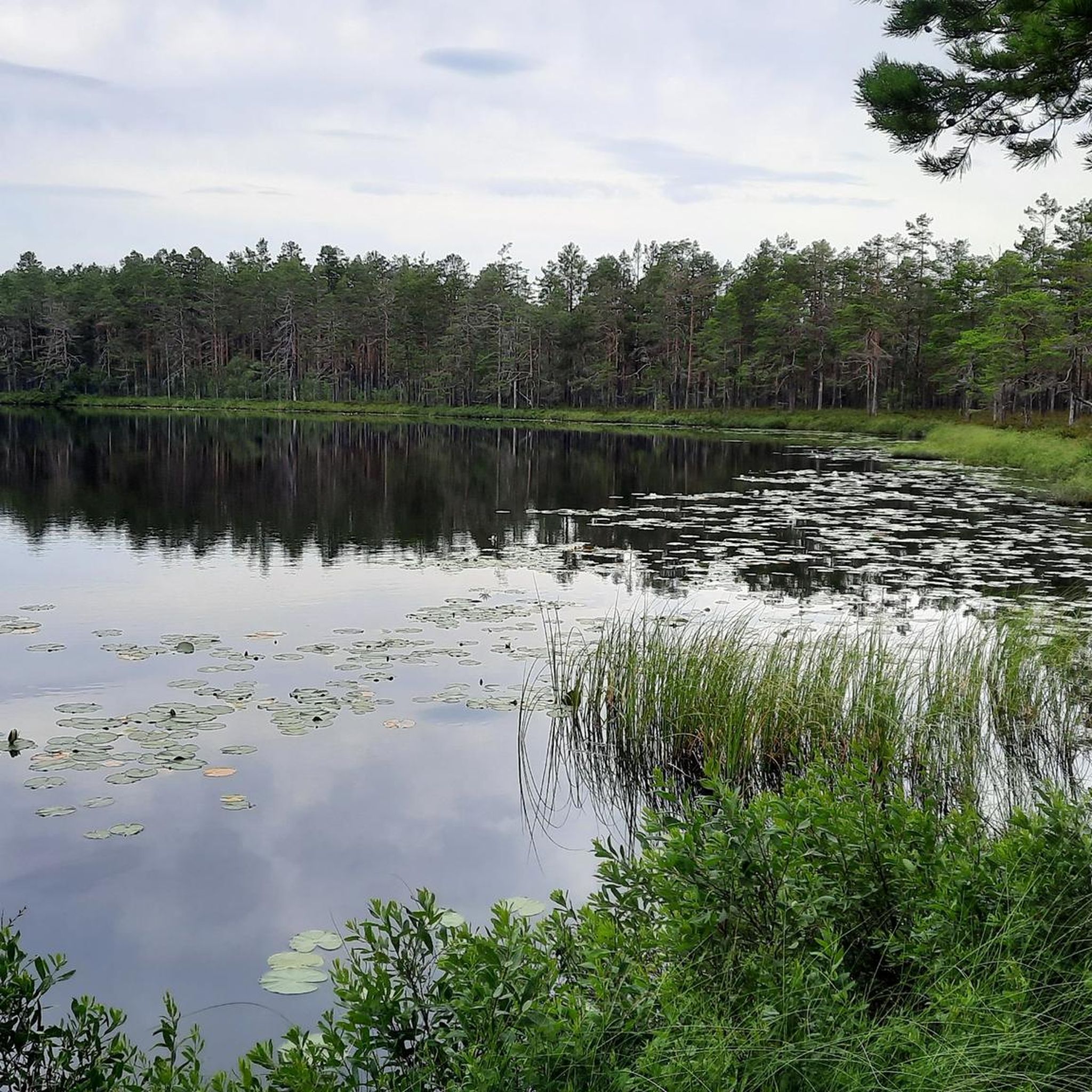
A charming spot by the lake for a quick rest; relax, enjoy the water, and savor the peacefulness.
0
0
Amazing path into the woods along the coast so you can enjoy some beautiful views.
0
0


Great picnic area – nice spot for a stopp on your ride. You can also walk to the sea.
0
0

Nice seating area by the lake for a short break.
0
0

The tour is marked orange throughout and you will find these signposts
3
0
here is a designated parking lot
2
0
Frequently Asked Questions
How many hiking trails are available in Nordanstig?
Nordanstig offers a variety of hiking experiences with over 10 routes documented on komoot. These range from easy coastal strolls to more moderate forest trails, ensuring options for different preferences and fitness levels.
Are there easy hiking trails suitable for beginners or families in Nordanstig?
Yes, Nordanstig has several easy trails perfect for beginners or families. For instance, the Beach on the Baltic Sea loop from Mellanfjärden is an easy 4.8 km path. The region also features the Rough Forest Trail and the Mellanfjärden Hiking Trail, which connects to "Trolska skogen" (The Enchanted Forest), a popular adventure for families.
What kind of landscapes can I expect to see while hiking in Nordanstig?
Nordanstig offers a unique blend of coastal and inland landscapes. You'll find extensive coastlines with sandy beaches and shingle fields, alongside mountainous and forested terrain featuring old forest trails and winding valleys. The region also encompasses wetlands, numerous lakes, and rivers, providing a diverse natural environment for exploration.
Are there any challenging hikes in Nordanstig?
While most routes on komoot are rated easy to moderate, Nordanstig's varied terrain does offer more strenuous options. Areas like Bålleberget feature steep climbs to 294 meters, rewarding hikers with panoramic views towards Bergsjö and Storsjön. The Vallstigen, a 63 km trail, also traverses varied terrain from sea level to mountain peaks, offering a longer, more demanding experience.
Are there any circular hiking routes in Nordanstig?
Yes, many of the hiking routes in Nordanstig are circular. Examples include the Sörfjärden Beach – Bench on the Lake Dock loop from Sörfjärden, the Beach on the Baltic Sea loop from Mellanfjärden, and the Sandy Beach loop from Mellanfjärden. The Gnarpskaten Nature Reserve also features a distinctive circular trail.
What interesting landmarks or attractions can I find along the hiking trails?
Nordanstig's trails often lead to or pass by interesting points. You might encounter historical sites like the Galtström Ironworks Blast Furnace or the Ophelia Historic Tugboat in Dry Dock. Many routes offer access to beautiful Lakeside Bathing Areas or scenic picnic spots like the Picnic Area by Toppenavnet River.
What do other hikers enjoy most about hiking in Nordanstig?
The hiking experiences in Nordanstig are highly rated by the komoot community, with an average score of 4.5 stars from over 30 reviews. Hikers often praise the diverse coastal views, the tranquility of the forest trails, and the well-maintained paths that offer a mix of natural beauty and accessibility.
Are there any trails with good viewpoints in Nordanstig?
Absolutely. Nordanstig is known for its high mountains that offer expansive views. Bålleberget, for example, provides panoramic vistas towards Bergsjö and Storsjön after a steep climb. The Kustleden (Coastal Trail) also offers numerous opportunities to spot diverse flora and fauna, including white-tailed eagles, along with stunning views of the Baltic Sea.
Can I hike with my dog in Nordanstig?
Generally, dogs are welcome on trails in Nordanstig, following the Swedish 'Allemansrätten' (right of public access). However, it's important to keep dogs on a leash, especially during sensitive wildlife periods (March 1 to August 20) and in nature reserves, to protect local wildlife and respect other hikers.
What is the best time of year to go hiking in Nordanstig?
The best time for hiking in Nordanstig is typically during the warmer months, from late spring to early autumn (May to September). During this period, the weather is milder, trails are clear of snow, and the natural landscapes are at their most vibrant. Summer offers long daylight hours, perfect for extended coastal walks or forest explorations.
Are there options for public transport to reach hiking trailheads in Nordanstig?
While Nordanstig is a rural area, some local bus services connect the main towns and villages. However, reaching specific trailheads might require planning, as public transport options can be limited. It's advisable to check local bus schedules in advance or consider driving to access more remote starting points.
Is parking available at Nordanstig hiking trailheads?
Parking availability varies by trailhead. Many popular starting points, especially near villages or nature reserves, offer designated parking areas. For more remote trails, roadside parking might be an option, but it's always recommended to park responsibly and ensure you're not obstructing any access roads or private property.
Most popular routes around Nordanstig
Most popular attractions around Nordanstig

Get inspired with the komoot mobile app


Explore more
Browse the best Hikes in other regions.
