The best road cycling routes around Malung-Sälen
66
riders
12
rides
Road cycling around Malung-Sälen offers a diverse landscape of deep forests, expansive mountain plateaus, and river valleys, providing varied terrain for cyclists. The region features mostly paved surfaces, with some routes incorporating unpaved segments. This area is known for its extensive network of roads, many of which are car-free, making it suitable for various fitness levels.
Best road cycling routes around Malung-Sälen
- The most popular road cycling route is Södra Kungsleden Trailhead loop from Lindvallen, a 18.8 miles (30.2 km) trail that takes 1 hour 22 minutes to complete. This moderate route starts from the Lindvallen area.
- Another top favourite among local road cyclists is Midskogstjärnen – Glatjärnen loop from Yttermalung, an easy 29.0 miles (46.7 km) path. This route offers a longer ride with minimal elevation gain, suitable for a relaxed pace.
- Local road cyclists also love the Shelter at Lake Flatsedan – Bridge on Görälven river loop from Tandådalen, a 33.6 miles (54.1 km) trail leading through varied terrain including a lake and river, often completed in about 2 hours 27 minutes.
- Road cycling around Malung-Sälen is defined by vast forests, mountain plateaus, and river views along the Västerdalälven. The network offers options for different ability levels, from easy loops to more challenging routes with significant elevation.
- The routes in Malung-Sälen are highly rated by the komoot community with an average score of 4.0 stars from 1 review. More than 140 road cyclists have used komoot to explore Malung-Sälen's varied terrain.
Last updated: June 26, 2026
1
riders
59.2km
05:25
370m
370m
Hard road ride. Very good fitness required. Some segments of this route may be unpaved and difficult to ride.
17
riders
30.5km
01:23
360m
360m
Moderate road ride. Good fitness required. Mostly well-paved surfaces and easy to ride.

Sign up for free
7
riders
50.2km
01:59
220m
220m
Easy road ride. Great for any fitness level. Mostly well-paved surfaces and easy to ride.
6
riders
46.7km
01:50
200m
200m
Easy road ride. Great for any fitness level. Mostly well-paved surfaces and easy to ride.
3
riders
54.1km
02:27
540m
540m
Moderate road ride. Good fitness required. Mostly well-paved surfaces and easy to ride.
Get access to more routes and recommendations from other explorers.
Sign up for free
Already have an account?
Our route recommendations are based on thousands of hikes, rides, and runs completed by other people on komoot.
Start today with a free account
Your next adventure awaits.
Login or Signup
Popular around Malung-Sälen
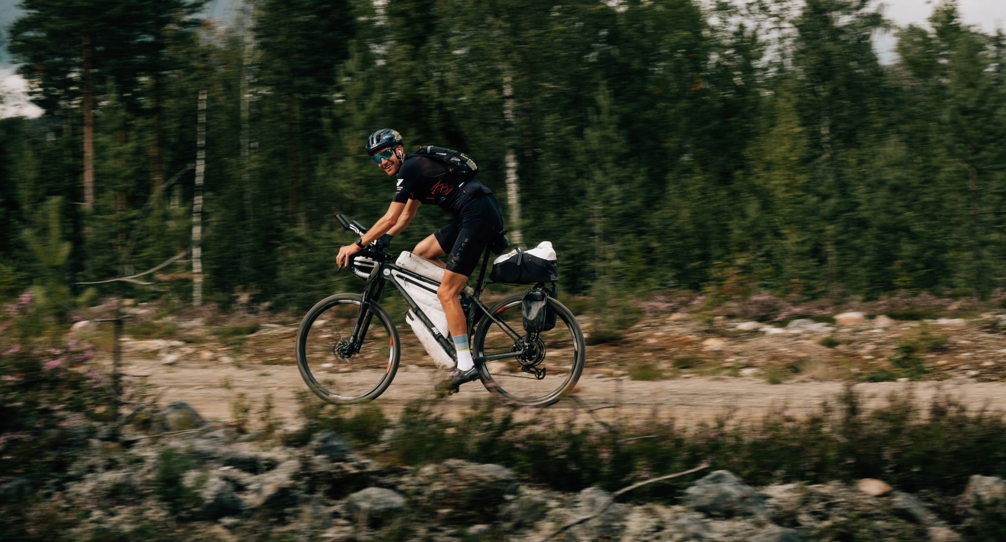
European D̶I̶V̶I̶D̶E̶ Connect Trail Project – a journey across Europe

European Divide Trail — 7,600 km across the continent
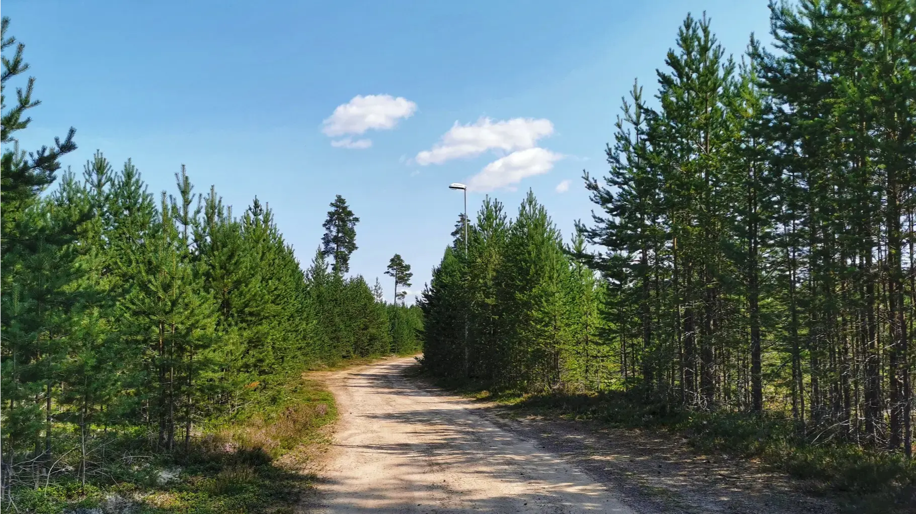
Ultravasan 90 — Sweden's Classic Long-Distance Run
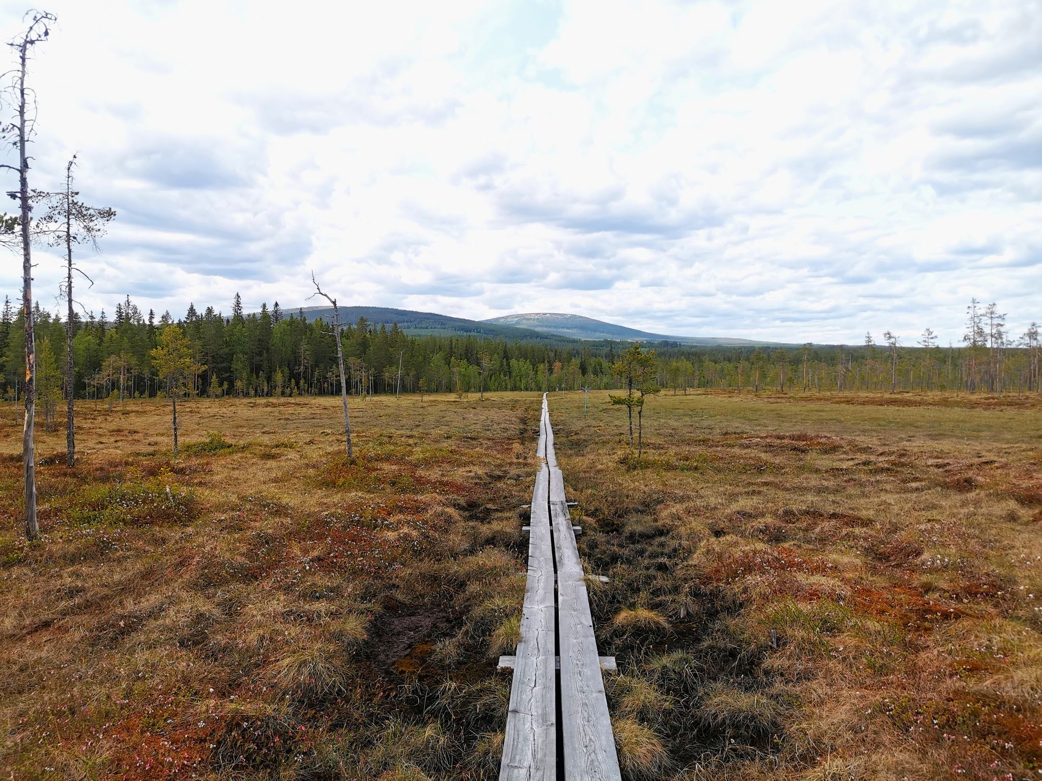
Södra Kungsleden – Hike through the heart of Sweden
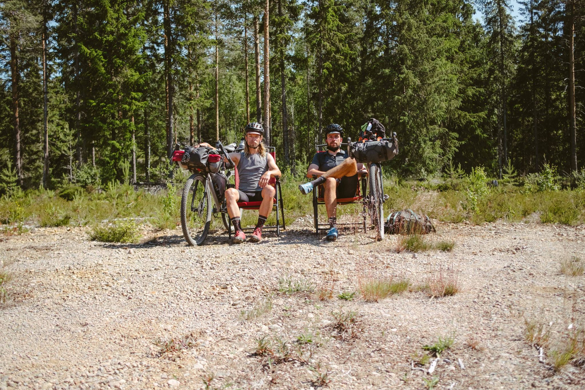
Into The Wild – Going North With JDA
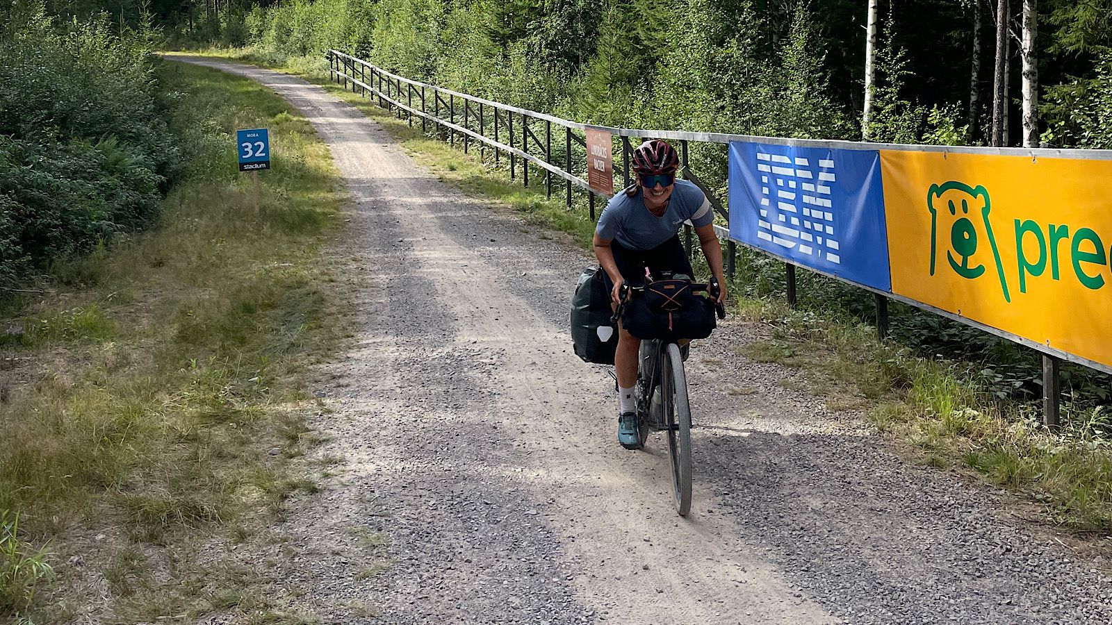
Cykelvasaleden – cycle along Sweden's historic cross-country route
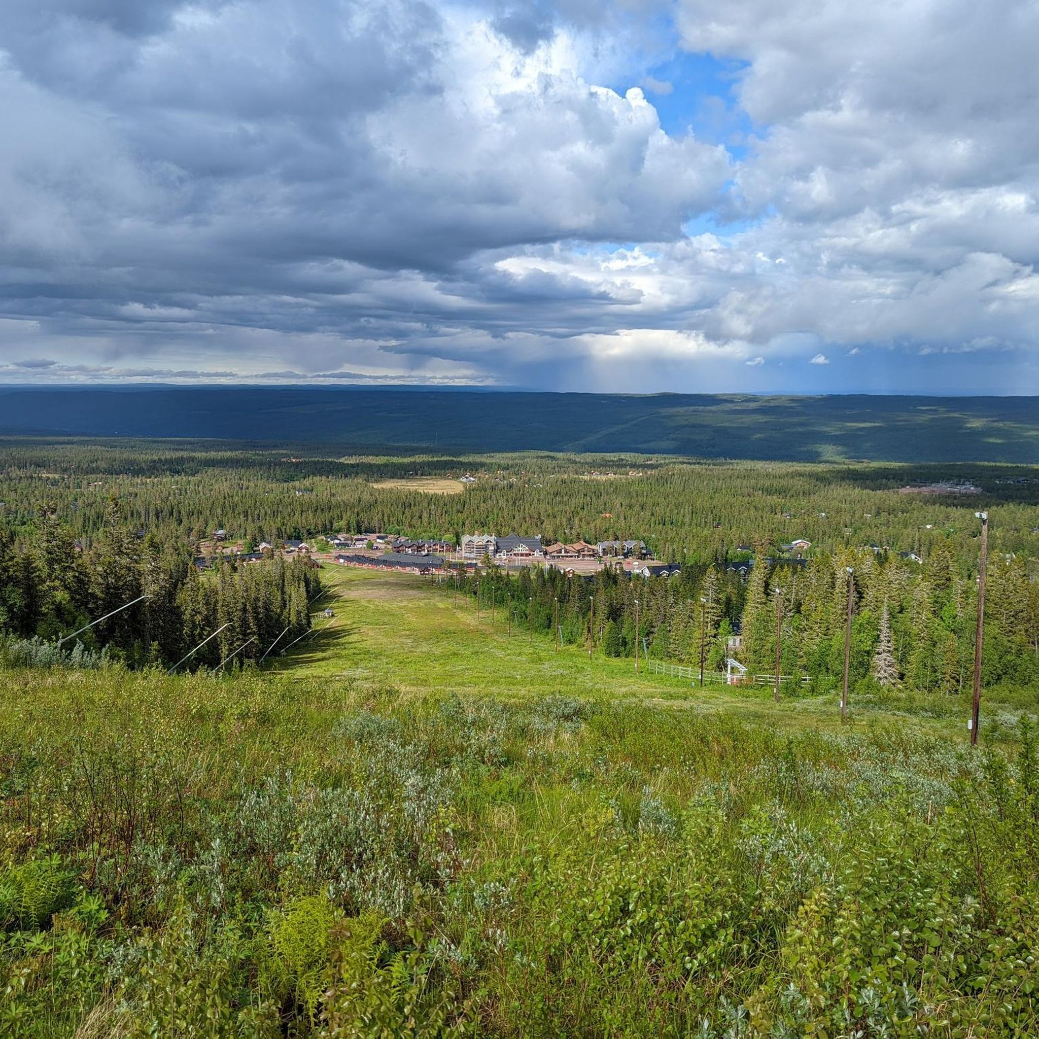
Hiking around Malung-Sälen
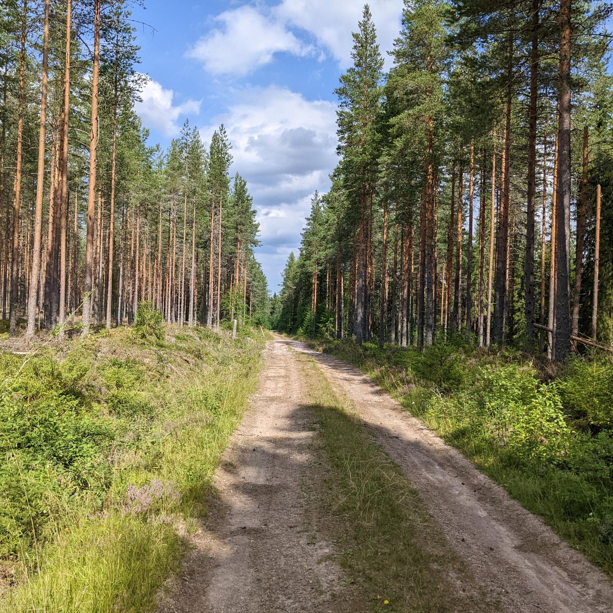
MTB Trails around Malung-Sälen
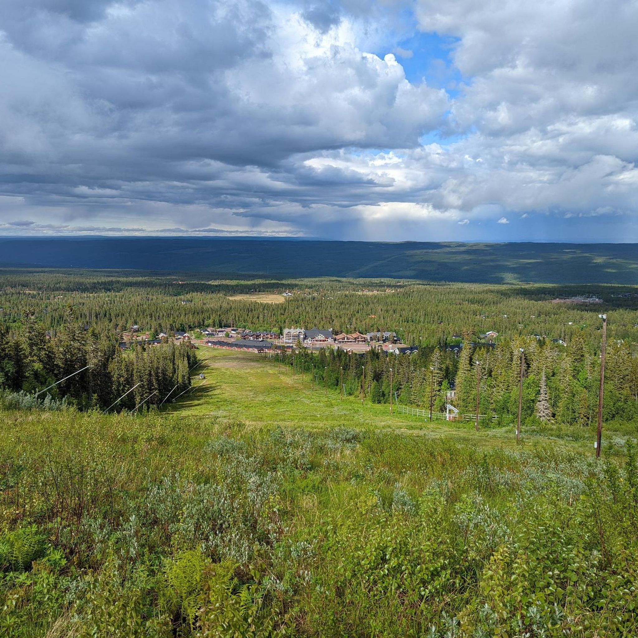
Cycling around Malung-Sälen
Running Trails around Malung-Sälen
Other adventures around Malung-Sälen


Tips from the Community

This little shelter at Lake Flatsedan, near the Görälven River, offers an opportunity to have a break on your ride. Enjoy the peaceful lake view and the river's gentle sounds. If you need an overnight stay, on the other side of the river, there is Stöten campsite.
0
0

This bridge on Görälven river allows you to cross this river very close to the border Sweden-Norway.
0
0
On this quiet and peaceful road you make entrance in Äppelbo, little village situated in Vansbro Municipality.
0
0
On this section of the road you get a good view of the lake, the bog and the woods all around.
0
0
Vansbro is a town in central Sweden, the capital of the municipality of the same name, in the county of Dalarna.
0
0

This is the entrance of a great hiking trail. It is important to know that in spring, parts of the trail are covered by snow.
0
0

Great hiking trail. In spring, parts of the trail are covered in snow. Sturdy, waterproof shoes and hiking poles can be helpful.
0
0

Södra Kungsleden starts here, not the actual Kungsleden
0
0
Frequently Asked Questions
What kind of terrain can I expect on road cycling routes in Malung-Sälen?
Malung-Sälen offers a diverse landscape for road cycling, featuring deep forests, expansive mountain plateaus, and picturesque river valleys. While many routes are mostly paved, some may include unpaved segments. The region is known for its quiet, almost car-free roads, providing a wonderful mountain environment for cyclists.
Are there road cycling routes suitable for beginners or those looking for an easy ride?
Yes, Malung-Sälen has routes suitable for various fitness levels. For an easy and relaxed ride, consider the Midskogstjärnen – Glatjärnen loop from Yttermalung, which is 46.7 km with minimal elevation gain. Another easy option is the Waterfall Near Road in Sweden – View of the river in Sälen loop from Fiskarheden södra, covering 42.7 km.
What are some challenging road cycling routes in the Malung-Sälen area?
For those seeking a more challenging ride, the region offers routes with significant elevation. While specific 'difficult' routes are fewer, you can find longer moderate routes like the Lillbäckstugan Shelter – Södra Kungsleden Trailhead loop from Lindvallen, which spans 94.3 km and features substantial climbs.
Can I find circular road cycling routes in Malung-Sälen?
Yes, many road cycling routes in Malung-Sälen are designed as loops. Examples include the Södra Kungsleden Trailhead loop from Lindvallen (30.2 km), the Midskogstjärnen – Glatjärnen loop from Yttermalung (46.7 km), and the Shelter at Lake Flatsedan – Bridge on Görälven river loop from Tandådalen (54.1 km).
What natural features or landmarks can I see along the road cycling routes?
The routes often showcase the region's natural beauty. You might encounter stunning river views along the Västerdalälven, pass by serene lakes like Flatsedan, or even spot waterfalls. For example, the Waterfall Near Road in Sweden – View of the river in Sälen loop from Fiskarheden södra route passes by a notable waterfall. You can also find various shelters and huts like Lilldalsstugan Shelter and Björnholmstugan Hut along some trails.
What is the best time of year for road cycling in Malung-Sälen?
Malung-Sälen is an excellent destination for outdoor activities year-round, but for road cycling, the warmer months, typically from late spring to early autumn, offer the most favorable weather conditions. During this period, the roads are clear of snow and ice, and the natural environment is at its most vibrant.
Are there any specific cultural or historical sites accessible by road bike?
While many routes focus on natural landscapes, the Malung-Sälen region has a rich cultural heritage. You can explore areas near Malung, known for its leather crafts, or visit historical sites like Gammelgården near Sälen's Högfjällshotell. For more information on cultural attractions, you might find resources on the Visit Dalarna website.
What do other road cyclists say about their experience in Malung-Sälen?
The road cycling routes in Malung-Sälen are highly rated by the komoot community, with an average score of 4.0 stars. Cyclists often praise the quiet, car-free roads, the wonderful mountain environment, and the diverse terrain that offers options for all ability levels.
Is Malung-Sälen part of a larger cycling initiative?
Yes, Malung-Sälen is part of Biking Dalarna, an initiative dedicated to providing excellent cycling experiences and guidance to visitors. This ensures well-maintained infrastructure and a focus on quality cycling opportunities throughout the region.
Where can I find more information about activities in Malung-Sälen beyond cycling?
Beyond road cycling, Malung-Sälen offers a wide array of outdoor activities. Visitors can enjoy hiking in nature reserves like Tandövala, canoeing or fishing in the Västerdalälven river, or even moose and beaver safaris. For a comprehensive list of activities, you can visit the Visit Dalarna activities page.
Are there options for family-friendly road cycling in Malung-Sälen?
Yes, the region offers routes suitable for various fitness levels, including easier paths that can be enjoyed by families. Routes with minimal elevation gain and mostly paved surfaces, such as the Midskogstjärnen – Glatjärnen loop from Yttermalung, are good options for a relaxed family outing.
Most popular attractions around Malung-Sälen

Get inspired with the komoot mobile app


Explore more
Browse the best Road cycling routes in other regions.
