The best road cycling routes around Årjäng
5.0
(1)
163
riders
20
rides
Road cycling routes around Årjäng traverse a landscape characterized by extensive forests, numerous lakes, and a hilly countryside. The region, nestled in southwest Värmland, offers varied terrain with both gentle and challenging ascents and descents. Cyclists can expect to ride alongside picturesque waterways, including parts of the Dalsland Canal system, and through tranquil rural areas. This blend of natural features provides diverse backdrops for road cycling.
Best road cycling routes around Årjäng
- The most popular road cycling route is Rest Area With Lake View – Bengtsfors Railway Station loop from Gustavsfors, a 70.0 miles (112.7 km) trail that takes about 4 hours 55 minutes to complete. This route offers extensive lakeside views and passes through varied forest scenery.
- Another top favourite among local road cyclists is Borggården Stone Cairn loop from Årjäng, a difficult 73.2 miles (117.8 km) path. This route features significant elevation gain, winding through the region's hilly terrain and past notable landmarks.
- Local road cyclists also love the Lakeside Picnic Area – Dalsland Canal loop from DANO 35 Uddarna - Flötefjorden, a 61.6 miles (99.2 km) trail leading through the Dalsland Canal area, often completed in about 4 hours 28 minutes.
- Road cycling around Årjäng is defined by its extensive forests, numerous lakes, and hilly countryside. The network offers options for easy, moderate, and difficult routes, catering to various ability levels.
- The routes in Årjäng are highly rated by the komoot community with an average score of 4.0 stars from over 1 reviews. More than 160 road cyclists have used komoot to explore Årjäng's varied terrain.
Last updated: July 12, 2026
21
riders
113km
04:55
1,010m
1,020m
Hard road ride. Very good fitness required. Mostly well-paved surfaces and easy to ride.
14
riders
Hard road ride. Very good fitness required. Some segments of this route may be unpaved and difficult to ride.

Sign up for free
14
riders
Moderate road ride. Good fitness required. Some segments of this route may be unpaved and difficult to ride.
13
riders
79.2km
03:33
710m
710m
Moderate road ride. Good fitness required. Some segments of this route may be unpaved and difficult to ride.
5.0
(1)
14
riders
46.8km
01:56
330m
330m
Moderate road ride. Good fitness required. Mostly well-paved surfaces and easy to ride.
Get access to more routes and recommendations from other explorers.
Sign up for free
Already have an account?
Our route recommendations are based on thousands of hikes, rides, and runs completed by other people on komoot.
Start today with a free account
Your next adventure awaits.
Login or Signup
Other adventures around Årjäng

Tips from the Community


From the old train station in Bengtsfors, you can get some exercise on a handcar along the disused railway line towards Arjäng. 😜 A historic rail bus also runs to Mellerud in the summer. Timetable at: www.dvvj.se
1
0

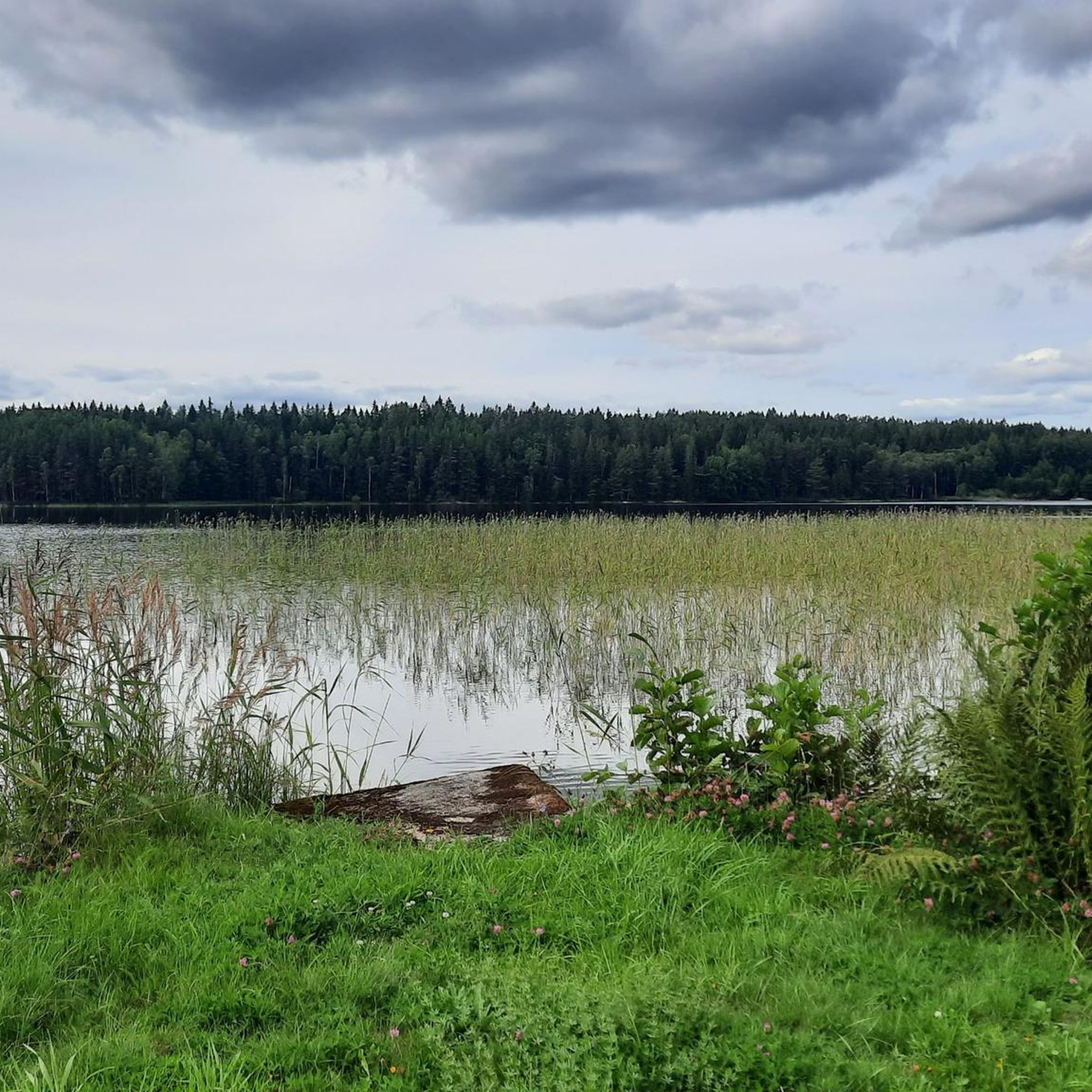
Here you can enjoy a great pause with a spectacular view of the lake.
0
0
Situated 150 metres above sea level, Lake Ärtingen covers an area of 2.65 square kilometres and reaches a depth of 21.5 metres. It is part of the Viskan drainage system and is fed by the small river Munkån, about 3 kilometres long, which connects Ärtingen to the nearby lake Öresjö.
0
0
Electricity is generated here by hydropower. Without a dam, the water from the northern Foxen lake flows into the Lelång, which is about 8 meters deeper.
1
0

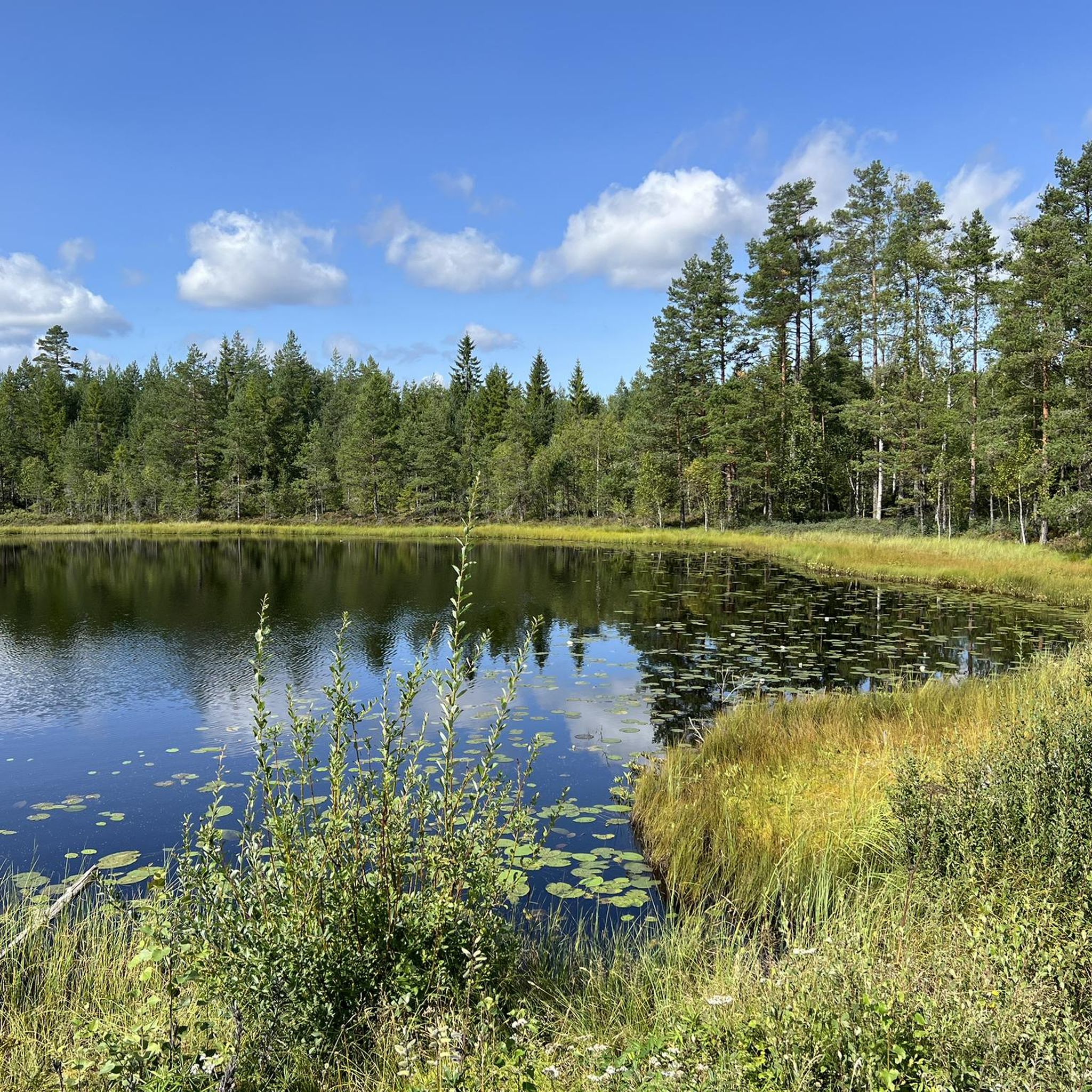
The network of lakes and canals of the area offers cyclists stunning waterside rides, perfect for exploring Dalsland's wilderness. Kayaks and boats share the waterways and you can enjoy the peaceful beauty of the famous Swedish lakeland.
0
0

Here, electricity is generated from hydropower. Without a dam, the water from the northern lake Foxen flows into the Lelång, which is about 8 meters lower.
1
0

Torrskog Church in Bengtsfors was built between 1766 and 1768 and has largely retained its original form. Inside, it features rich artworks, including a Baroque pulpit and an 18th-century altarpiece. The church also holds medieval items, such as a 13th-century baptismal font and a 14th-century Madonna sculpture.
0
0
Frequently Asked Questions
How many road cycling routes are available in Årjäng?
There are over 20 road cycling routes around Årjäng, offering a variety of experiences across its diverse landscape of forests, lakes, and hilly terrain.
Are there routes suitable for beginners or families?
Yes, Årjäng offers routes suitable for various skill levels. While many routes feature hilly terrain, there are 3 easy routes and 15 moderate routes that can be enjoyed by those looking for less strenuous rides or family-friendly options. These often traverse quieter country roads and offer scenic views without extreme climbs.
What kind of terrain can I expect on road cycling routes in Årjäng?
The road cycling routes in Årjäng traverse a picturesque blend of extensive forests, numerous lakes, and a distinctly hilly countryside. You can expect varied terrain with both gentle and challenging ascents and descents, often riding alongside beautiful waterways like parts of the Dalsland Canal system and through tranquil rural areas.
Are there challenging routes for experienced road cyclists?
Absolutely. For experienced road cyclists seeking a challenge, Årjäng's hilly terrain provides demanding routes with significant elevation gains. For instance, the Borggården Stone Cairn loop from Årjäng is a difficult 117.8 km path featuring over 1000 meters of elevation gain, winding through the region's notable landmarks. You can explore this route here: Borggården Stone Cairn loop from Årjäng.
What are some scenic viewpoints or attractions along the routes?
Many routes offer stunning views and pass by interesting attractions. You might encounter the unique 8-meter-high Årjängstrollet in the town center, or the legendary Borgåsgubben stone figure which offers panoramic views over Lake Västra Silen. Other highlights include the Båstnäs Car Cemetery, or the highest point in Dalsland, Baljåsen. Many routes also feature extensive lakeside views, such as the Rest Area With Lake View – Bengtsfors Railway Station loop from Gustavsfors.
Can I find circular road cycling routes in Årjäng?
Yes, many of the road cycling routes in Årjäng are designed as loops, allowing you to start and end at the same point. Examples include the popular Lakeside Picnic Area – Dalsland Canal loop from DANO 35 Uddarna - Flötefjorden, which takes you through the scenic Dalsland Canal area, and the Bengtsfors Railway Station – Lake Ärtingen loop from Gustavsfors.
What is the best time of year for road cycling in Årjäng?
The best time for road cycling in Årjäng is generally during the warmer months, from late spring to early autumn. Summer offers pleasant temperatures and long daylight hours, perfect for exploring the region's lakes, forests, and rural scenery. During this period, road conditions are typically optimal, and cafes and services along routes are more likely to be open.
Are there specific regional cycling trails I should know about?
Yes, the Lelångenleden Cycle Route is a significant regional trail, with its first stage starting in Årjäng. It offers a varied landscape of lakes, forests, and villages, with sections well-suited for road cycling. The route is certified for quality and safety, with clear red signage marked '104 Lelångenleden'. Additionally, the idyllic country roads running alongside the Dalsland Canal provide picturesque routes, often featuring historical swing bridges.
Where can I park my car when starting a road cycling tour?
While specific parking locations vary by route, Årjäng town center and many of the smaller villages or popular starting points for routes typically offer parking facilities. For routes that begin near natural attractions or visitor centers, such as the Glaskogen Visitor Center, designated parking areas are usually available.
How do other cyclists rate the routes in Årjäng?
The road cycling routes in Årjäng are highly rated by the komoot community, with an average score of 4.0 stars from over 160 road cyclists. Reviewers often praise the extensive forests, numerous lakes, and the engaging hilly countryside that define the region's cycling experience.
Are there places to stop for refreshments or cafes along the routes?
Yes, many routes pass through charming villages or near facilities where you can find refreshments. The Dalsland Canal area, for example, has places like Lennartsfors which offer cafes. Additionally, some routes may lead past camping sites or visitor centers, such as Grinsby Camping at Stora Bör, which often provide services for travelers.
What are the road conditions generally like for cycling in Årjäng?
The road conditions for cycling in Årjäng are generally well-maintained, especially on the main routes. While the Lelångenleden Cycle Route may include a mix of asphalt and gravel surfaces, the dedicated road cycling routes primarily utilize paved roads. The region's focus on outdoor activities ensures that many paths are suitable for road bikes, though some smaller country roads might have varying surfaces.
Are there routes that offer extensive lakeside views?
Årjäng is rich in water features, with over 1000 lakes in the municipality, ensuring varied scenery with many opportunities for lakeside views. Routes often run alongside major lakes like Västra Silen and Lelången, which are part of the Dalsland Canal system. The Dalsland Canal – Borggården Stone Cairn loop from Gustavsfors is a great example, offering picturesque stretches along these waterways.
Most popular attractions around Årjäng

Get inspired with the komoot mobile app


Explore more
Browse the best Road cycling routes in other regions.
