The best walks and hikes around Katrineholm
4.5
(36)
194
hikers
30
hikes
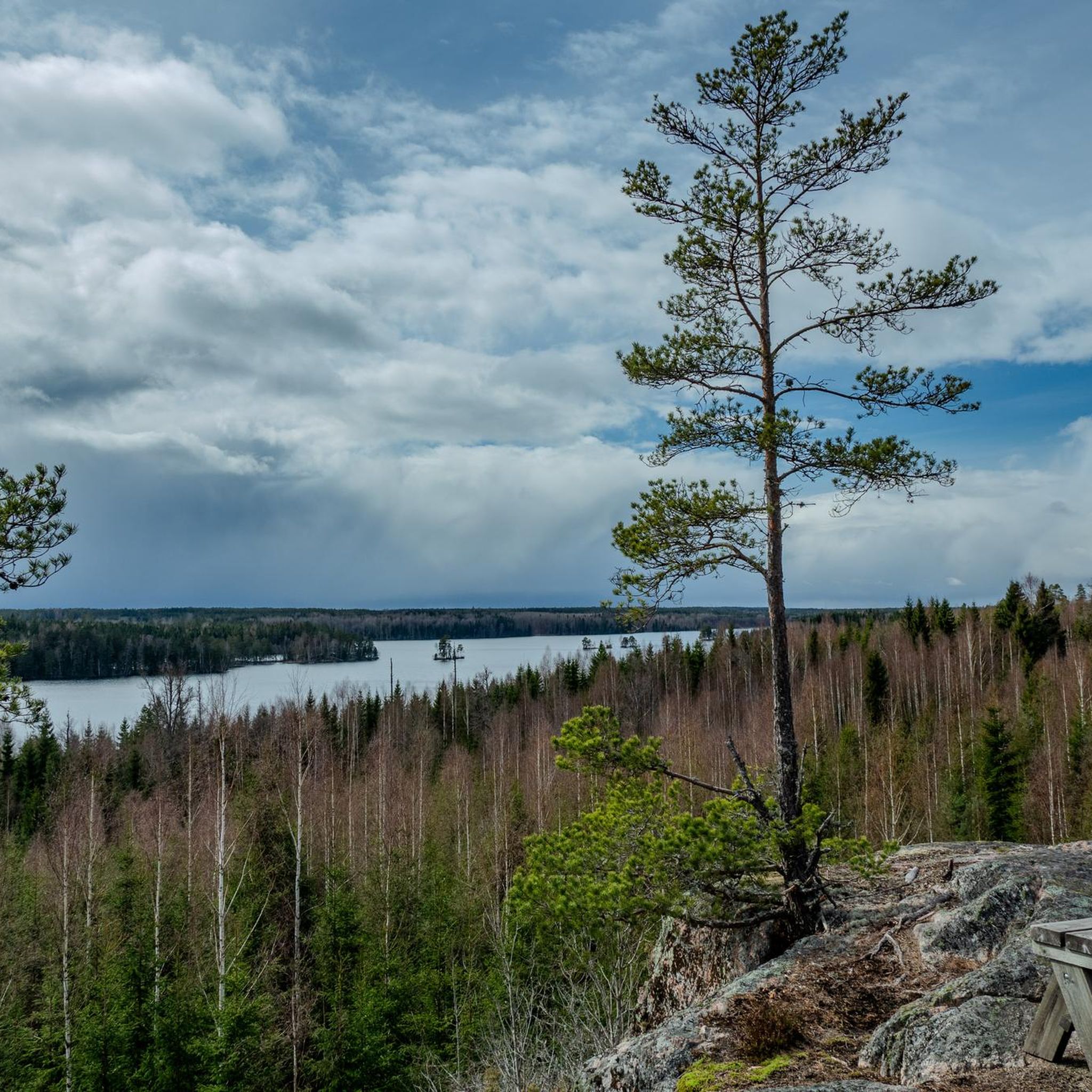
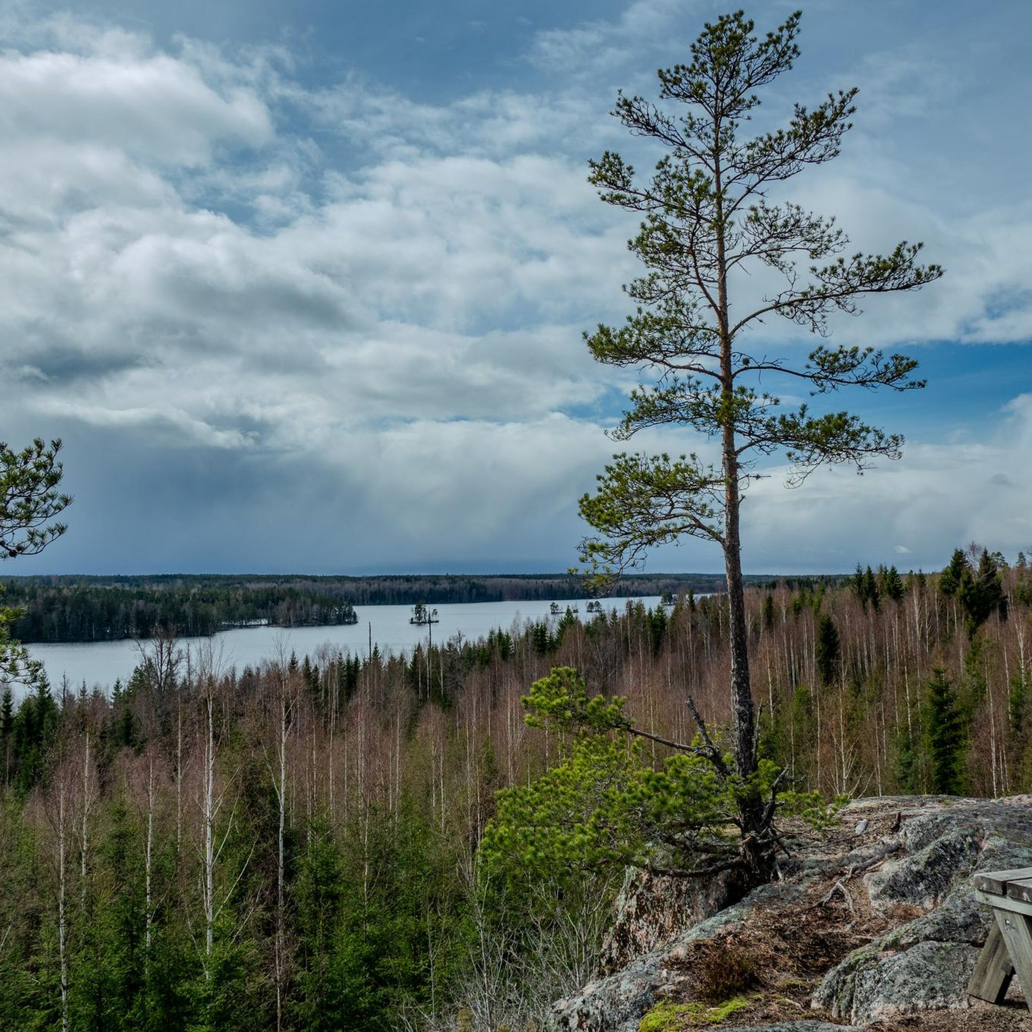
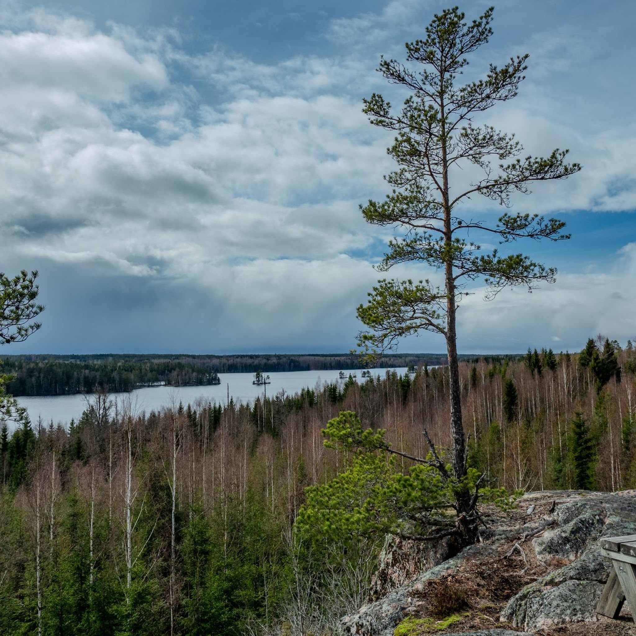
Hiking around Katrineholm offers access to the extensive Sörmlandsleden trail system, traversing varied natural landscapes. The region is characterized by deep forests, numerous sparkling lakes, and rich cultural landscapes. Hikers can explore protected nature reserves, such as Fjällmossen, and encounter unique geological formations like large volcanic blocks and eskers in areas like Forssjö. The network provides diverse terrain for different hiking preferences.
Best hiking trails around Katrineholm
- The most popular hiking route is Forssjö Loop Trail, a 7.0 miles (11.3 km) trail that takes 2 hours 54 minutes to complete. This moderate route leads through primeval forests and past unique geological formations.
- Another top favourite among local hikers is Carl Ugglas Park Pond – Herrgårdsvägen Bridge loop from Djulö kvarn, an easy 2.8 miles (4.4 km) path. This trail offers a gentle walk through scenic areas, suitable for all fitness levels.
- Local hikers also love the Herrgårdsvägen Bridge – Hydroelectric Power Plant loop from Katrineholm, a 6.1 miles (9.9 km) trail leading through varied landscapes, often completed in about 2 hours 33 minutes.
- Hiking around Katrineholm is defined by deep forests, sparkling lakes, and cultural landscapes. The network offers options for easy, moderate, and more challenging routes.
- The routes in Katrineholm are highly rated by the komoot community with an average score of 4.5 stars from more than 30 reviews. More than 190 hikers have used komoot to explore Katrineholm's varied terrain.
Last updated: June 26, 2026
5.0
(1)
13
hikers
11.3km
02:54
40m
50m
Hike the Askersund long loop, a moderate 7.0-mile (11.3 km) trail through hilly forests and past scenic lakes, featuring the Lakeside Shelte
2
hikers
6.40km
01:38
20m
20m
Easy hike. Great for any fitness level. Easily-accessible paths. Suitable for all skill levels.

Sign up for free
4.6
(5)
14
hikers
Easy hike. Great for any fitness level. Easily-accessible paths. Suitable for all skill levels.
7
hikers
6.77km
01:44
30m
30m
Easy hike. Great for any fitness level. Easily-accessible paths. Suitable for all skill levels.
7
hikers
6.91km
01:46
30m
30m
Easy hike. Great for any fitness level. Easily-accessible paths. Suitable for all skill levels.
Get access to more routes and recommendations from other explorers.
Sign up for free
Already have an account?
Our route recommendations are based on thousands of hikes, rides, and runs completed by other people on komoot.
Start today with a free account
Your next adventure awaits.
Login or Signup

Tips from the Community

After a beautiful walk through the forest on good trails you will get to a birdwatching tower. This looks out over Näsnaren Lake and the beautiful Näsnaren nature reserve.
0
0
Vandringsled Tornstugan is a short 900 metre trail that joins on to the Vandringsled Norr path. There is a birdwatching tower at the start of the trail, and then the path heads north to Näsnaren Lake. It is a wide path that goes through a forest area and is very family-friendly. It is also very accessible to wheelchairs and prams.
0
0
Vandringsled Norr is a 1.5 kilometre hike that goes through the beautiful Näsnaren Natura 2000, a protected biodiversity area. The trail goes from Gersnäs allé to the bird tower at Tornstugan, where you continue on the shorter Vandringsled Tornstugan trail. The hiking trail is very family-friendly, fully accessible by all thanks to good trail surfaces and wide footbridges.
0
0

Parking available, perfect to start.
1
0

A small water source in the form of a simple well in the ground. The water level was fine when I visited, but the water didn't look clear. I didn't need a refill, so I didn't actually try the water myself.
1
0
Nice shelter by the lake! The shelter is well equiped with a saw, an axe, buckets as well as a picnic table. There is a fireplace right in front of the shelter as well as a separate firepit down by the water. There is a small outhouse behind the shelter and another one located a few hundred meters north along the trail, when crossing the small gravel road. There is a small swimming spot along the shore just south of the shelter.
1
0
Frequently Asked Questions
What types of landscapes can I expect to see while hiking around Katrineholm?
The region around Katrineholm offers a diverse natural environment. You'll encounter deep forests, areas with rugged terrain, and numerous sparkling lakes like Lilla Göljan lake and Bruksdammen Lake. Many trails also pass through rich cultural landscapes and protected nature reserves, such as Fjällmossen, which add to the scenic variety.
Are there any easy hiking trails suitable for families or beginners?
Yes, Katrineholm offers several easy trails. A popular choice is the Carl Ugglas Park Pond – Herrgårdsvägen Bridge loop from Djulö kvarn, which is 4.4 km (2.8 miles) and suitable for all fitness levels. Other easy options include the Wooden Shelter and Fire Pit loop from Ramsjöhult and the Wooden Shelter and Fire Pit loop from Skogen, both around 6-7 km.
What are some notable natural or historical landmarks to look out for on the trails?
Hikers can discover unique geological formations, such as large volcanic blocks and eskers, particularly in the Forssjö area. You might also encounter historical elements within the cultural landscapes. Specific highlights include Julita Manor Gardens, the Ormsjöbergen Nature Reserve, and the Lookout tower at Sörmland’s highest peak.
Are there any circular hiking routes in the Katrineholm area?
Yes, many trails in Katrineholm are designed as loops. For example, the Forssjö Loop Trail is a moderate 11.3 km (7.0 miles) route that takes you through primeval forests. The Carl Ugglas Park Pond – Herrgårdsvägen Bridge loop from Djulö kvarn is another popular circular option, offering an easier 4.4 km (2.8 miles) walk.
How many hiking routes are available in Katrineholm?
There are nearly 30 hiking routes available around Katrineholm, catering to various preferences. This includes 18 easy trails and 11 moderate trails, ensuring options for different skill levels.
What do other hikers say about the trails in Katrineholm?
The hiking trails in Katrineholm are highly regarded by the komoot community, with an average rating of 4.5 stars from over 30 reviews. Hikers often praise the varied terrain, from deep forests to sparkling lakes, and the well-maintained paths that make for enjoyable outdoor experiences.
Can I bring my dog on the hiking trails in Katrineholm?
While specific rules for each trail may vary, generally, dogs are welcome on many outdoor trails in Sweden, often requiring them to be on a leash. It's always best to check local signage or specific trail information for any restrictions before heading out with your dog.
Are there any amenities like shelters or picnic areas along the trails?
Yes, the Sörmlandsleden trail system, which runs through Katrineholm, is known for its amenities, including rest areas, lean-tos, and designated campsites. You can also find specific spots like the Lilla Göljan lake and shelter and the Bruksdammen Lake and Picnic Area, which offer peaceful settings for breaks.
What is the best time of year to go hiking in Katrineholm?
The best time for hiking in Katrineholm is typically during the spring, summer, and early autumn months (May to October) when the weather is milder and the natural scenery is at its most vibrant. During these periods, you can fully enjoy the deep forests, sparkling lakes, and cultural landscapes.
Are there any longer or more challenging routes for experienced hikers?
While there are no routes classified as 'difficult' in our current selection, experienced hikers can explore longer sections of the Sörmlandsleden trail, which offers stages with more rugged terrain and extended distances. The Forssjö Loop Trail and the Herrgårdsvägen Bridge – Hydroelectric Power Plant loop from Katrineholm are both moderate routes around 10-11 km that provide a good workout.
Is public transport available to reach hiking trailheads in Katrineholm?
Katrineholm is well-connected, and some trailheads, especially those closer to the town center or along the Sörmlandsleden, may be accessible via local public transport. For specific routes, it's advisable to check local bus schedules or transport options to the starting points of trails like the Carl Ugglas Park Pond loop or sections of the Sörmlandsleden.
Most popular routes around Katrineholm
Most popular attractions around Katrineholm

Get inspired with the komoot mobile app


Explore more
Browse the best Hikes in other regions.
