The best road cycling routes around Upplands-Bro
4.3
(54)
2,494
riders
10
rides
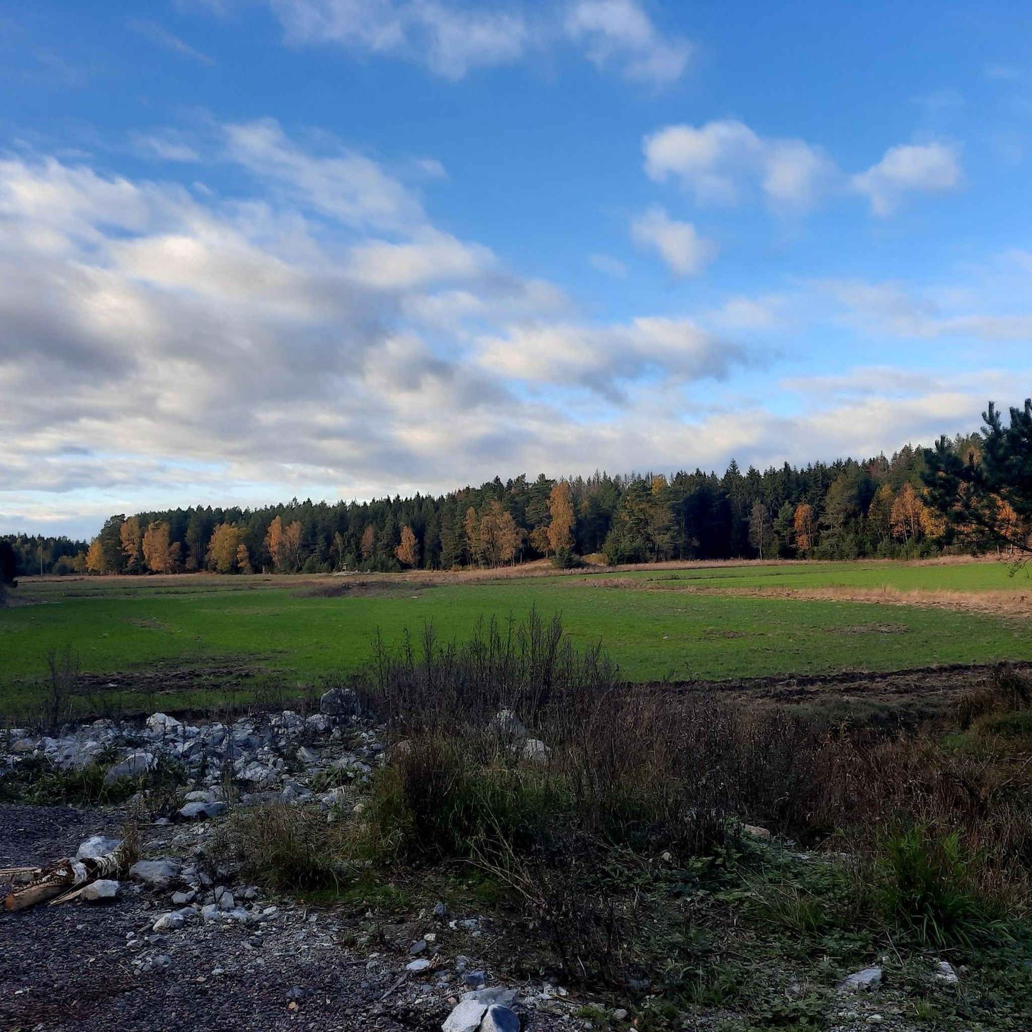
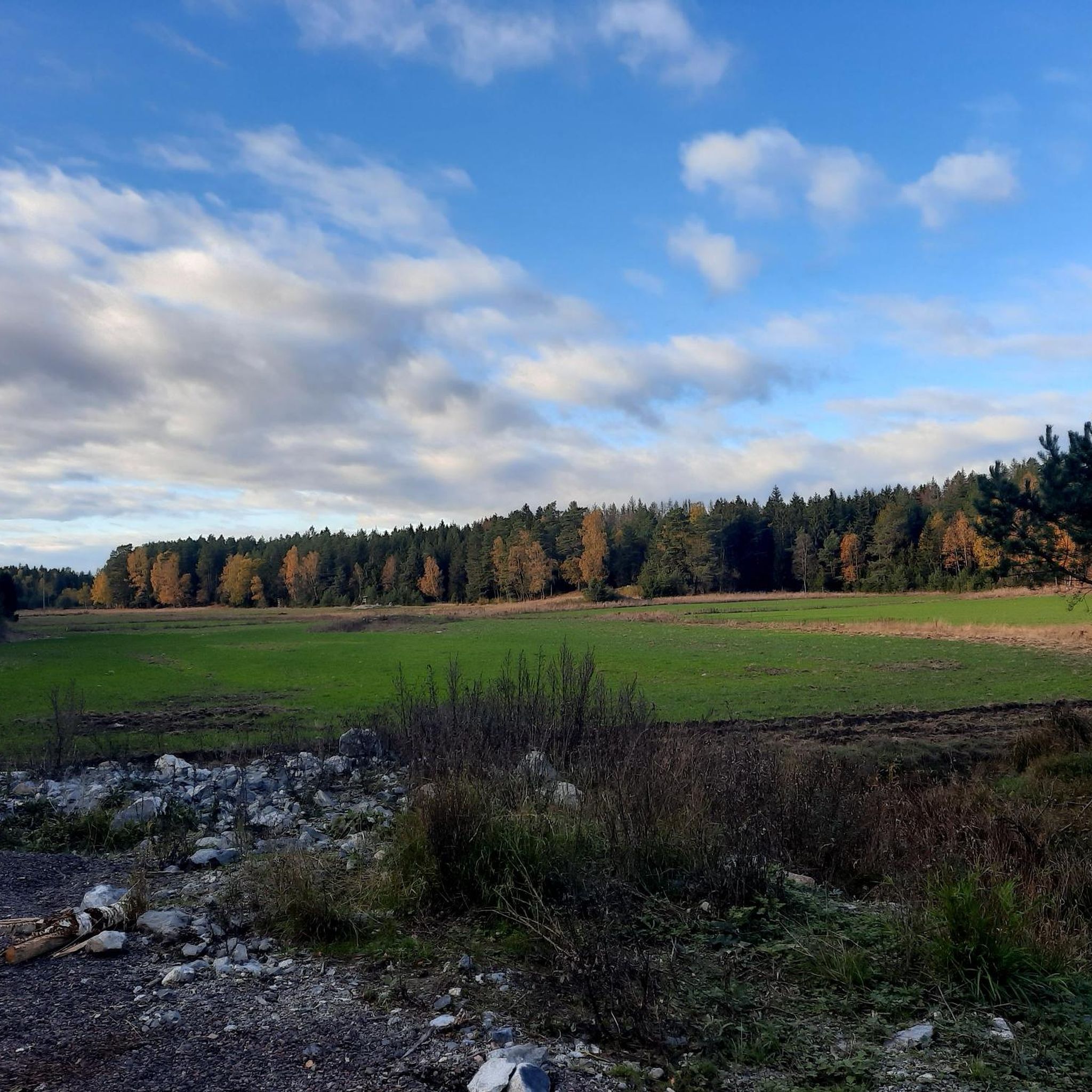
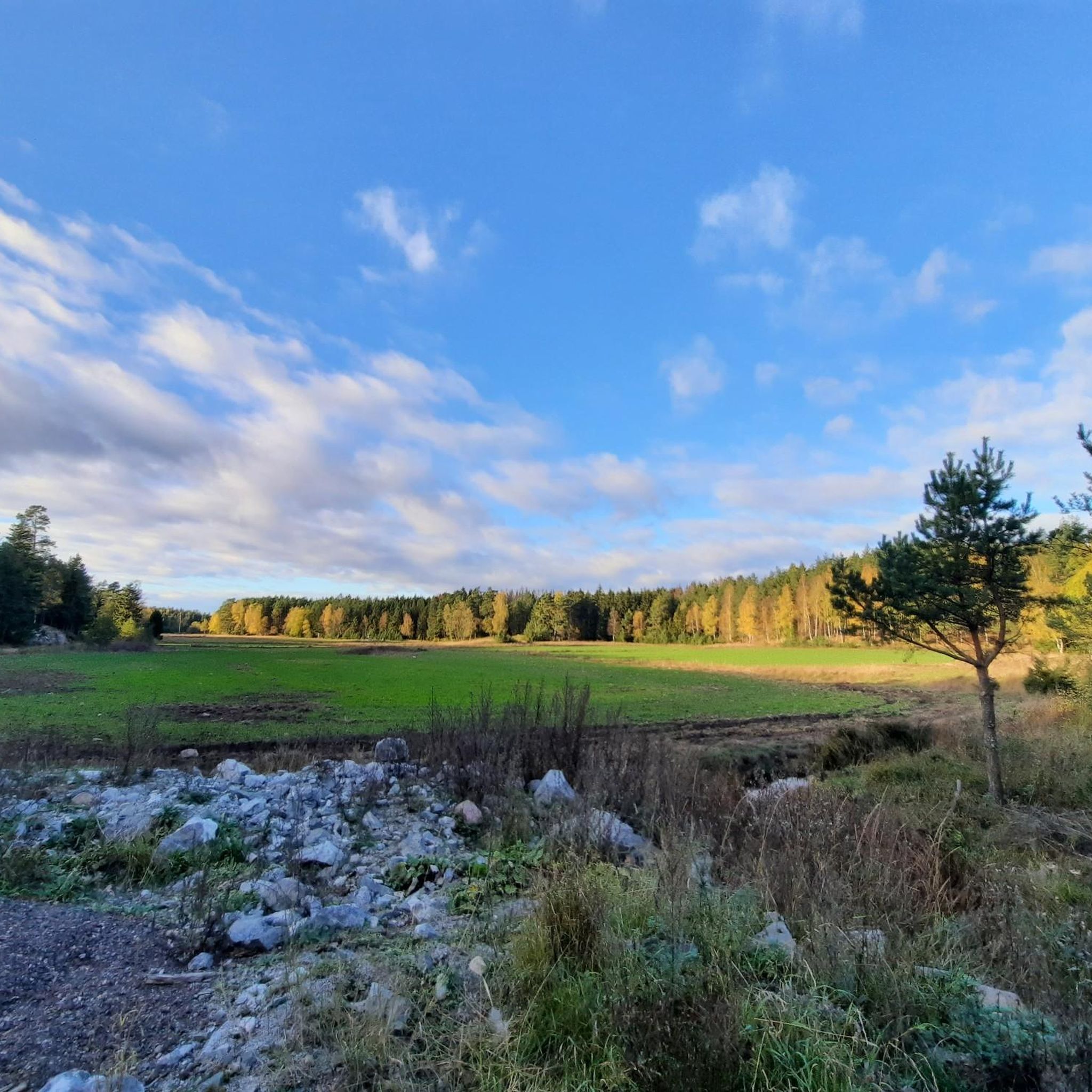
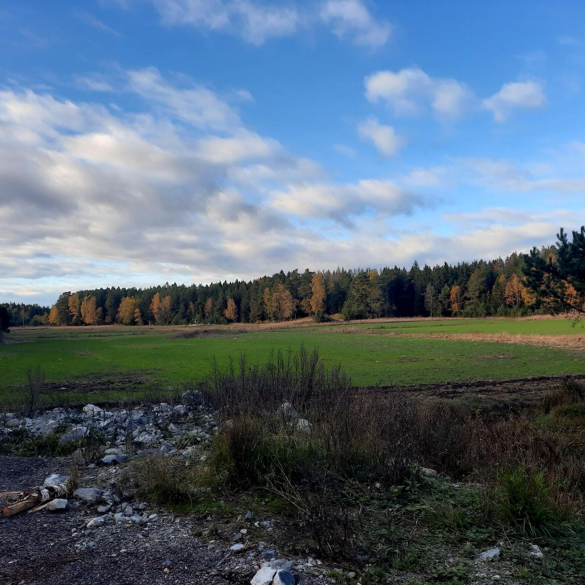
Road cycling routes around Upplands-Bro traverse a diverse landscape northwest of Stockholm, Sweden. The region features extensive forests, open meadows, and fields, alongside numerous bays of Lake Mälaren. While the terrain is generally gentle, some routes include gradual ascents, with the highest points being hills rather than mountains. The municipality actively maintains and expands its network of paved paths, making it suitable for various road cycling experiences.
Best road cycling routes around Upplands-Bro
- The most popular road cycling route is Roadbike loop from Kungsängen, a 21.5 miles (34.6 km) trail that takes 1 hour 28 minutes to complete. This moderate route offers varied scenery through the local countryside.
- Another top favourite among local road cyclists is Bonäsbadet – Lädersättra loop from Bro, a moderate 20.6 miles (33.1 km) path. This route guides cyclists past Lake Mälaren's shores and through forested areas.
- Local road cyclists also love the Kalmarsandsviken, Bålsta loop from Kungsängen, a 19.3 miles (31.0 km) trail leading through varied landscapes including open fields and near water, often completed in about 1 hour 21 minutes.
- Road cycling around Upplands-Bro is defined by its lush forests, the extensive coastline of Lake Mälaren, and numerous nature reserves. The network offers options for easy, moderate, and difficult routes, catering to different ability levels.
- The routes in Upplands-Bro are highly rated by the komoot community with an average score of 4.2 stars from more than 20 reviews. More than 1,400 road cyclists have used komoot to explore Upplands-Bro's varied terrain.
Last updated: August 20, 2026
4.3
(3)
57
riders
41.5km
01:44
240m
240m
Easy road ride. Great for any fitness level. Mostly well-paved surfaces and easy to ride.
5.0
(1)
24
riders
36.8km
01:37
240m
240m
Moderate road ride. Great for any fitness level. Some segments of this route may be unpaved and difficult to ride.

Sign up for free
21
riders
33.4km
01:27
230m
230m
Moderate road ride. Great for any fitness level. Some segments of this route may be unpaved and difficult to ride.
17
riders
116km
04:51
670m
670m
Moderate road ride. Good fitness required. Some segments of this route may be unpaved and difficult to ride.
15
riders
130km
05:19
740m
740m
Hard road ride. Very good fitness required. Mostly well-paved surfaces and easy to ride.
Get access to more routes and recommendations from other explorers.
Sign up for free
Already have an account?
Our route recommendations are based on thousands of hikes, rides, and runs completed by other people on komoot.
Start today with a free account
Your next adventure awaits.
Login or Signup
Tips from the Community


Water on both sides
0
0


It's worth the climb, the view on the lake is great, a'd there are benches / tables to enjoy it.
0
0


Be greeted and wave the wooden man back!
0
0
The runestone tells of men who died during Ingvar the White Father's Viking train
0
0

Cozy looking place which apparently is quite popular to spend Midsummer at.
0
0
Frequently Asked Questions
How many road cycling routes are available in Upplands-Bro?
Upplands-Bro offers a good selection of road cycling routes, with over 10 routes available on komoot. These routes cater to various skill levels, from easy to difficult.
What kind of terrain can I expect on road cycling routes in Upplands-Bro?
The terrain in Upplands-Bro is generally gentle, characterized by extensive forests, open meadows, and fields. You'll also find numerous bays of Lake Mälaren. While there are gradual ascents, the highest points are typically hills rather than mountains, making for varied but manageable cycling.
What natural features or viewpoints can I see along the road cycling routes?
Many routes offer scenic views of Lake Mälaren, which boasts 130 kilometers of coastline and an archipelago. You can also cycle through several nature reserves, such as Lejondals naturreservat, or pass by Runestone and Lakeside Viewpoint with Table and Benches. The municipality's highest point, Lillsjötoppen, also provides panoramic views over Upplands-Bro and Lake Mälaren.
Are there any historical sites or cultural landmarks to explore while cycling?
Yes, Upplands-Bro has a rich history. You might encounter ancient remains from the Iron Age, Viking Age runestones, or medieval churches dating back to between 1100 and 1400. The ruins of the 15th-century fortress Almarestäket are also a notable historical site.
What do other road cyclists appreciate about the routes in Upplands-Bro?
The road cycling routes in Upplands-Bro are highly rated by the komoot community, with an average score of 4.2 stars from more than 20 reviews. Cyclists often praise the lush forests, the extensive coastline of Lake Mälaren, and the diverse network of paths that offer options for all ability levels.
Are there options for parking near the road cycling routes?
Yes, many road cycling routes in Upplands-Bro are accessible with parking options, particularly near popular starting points in towns like Kungsängen and Bro. The municipality actively works on improving accessibility for cyclists, which includes parking facilities.
Can I reach the road cycling routes using public transport?
Upplands-Bro is located northwest of Stockholm and has public transport connections, including commuter trains and buses, which can bring you close to various starting points for cycling routes. This allows for convenient access without needing a car.
Are there easy or beginner-friendly road cycling routes in Upplands-Bro?
Yes, Upplands-Bro offers several easy and moderate routes suitable for beginners. The municipality's commitment to developing its cycling network includes paths suitable for various fitness levels, often featuring mostly paved surfaces. For example, the Roadbike loop from Kungsängen is a moderate option that offers varied scenery.
Are there challenging road cycling routes for experienced cyclists?
For experienced cyclists seeking a challenge, Upplands-Bro also has more demanding routes. An example is the Varpsund Runestone – Vänge Church loop from Kungsängen, which is classified as difficult and covers a longer distance with more elevation gain.
Can I find circular road cycling routes in Upplands-Bro?
Yes, many of the road cycling routes in Upplands-Bro are designed as loops, allowing you to start and end at the same point. Examples include the popular Bonäsbadet – Lädersättra loop from Bro, which guides cyclists past Lake Mälaren's shores, and the Kalmarsandsviken, Bålsta loop from Kungsängen.
How long are the road cycling routes typically in Upplands-Bro?
The road cycling routes in Upplands-Bro vary significantly in length. You can find shorter routes around 20 miles (30 km) for a quicker ride, such as the Roadbike loop from Kungsängen, up to longer, more challenging routes exceeding 70 miles (110 km), like the Varpsund Runestone – Sussis Gårdsbageri loop from Kungsängen.
Are the road cycling routes suitable for families?
Upplands-Bro's commitment to expanding its cycling infrastructure includes many paths suitable for various users. While specific family-friendly routes depend on the age and experience of the cyclists, the generally gentle terrain and extensive network of paved paths make many areas accessible for family cycling, especially the easier routes.
Most popular routes around Upplands-Bro
Most popular attractions around Upplands-Bro

Get inspired with the komoot mobile app


Explore more
Browse the best Road cycling routes in other regions.
