The best walks and hikes around Toivakka
4.6
(63)
704
hikers
28
hikes
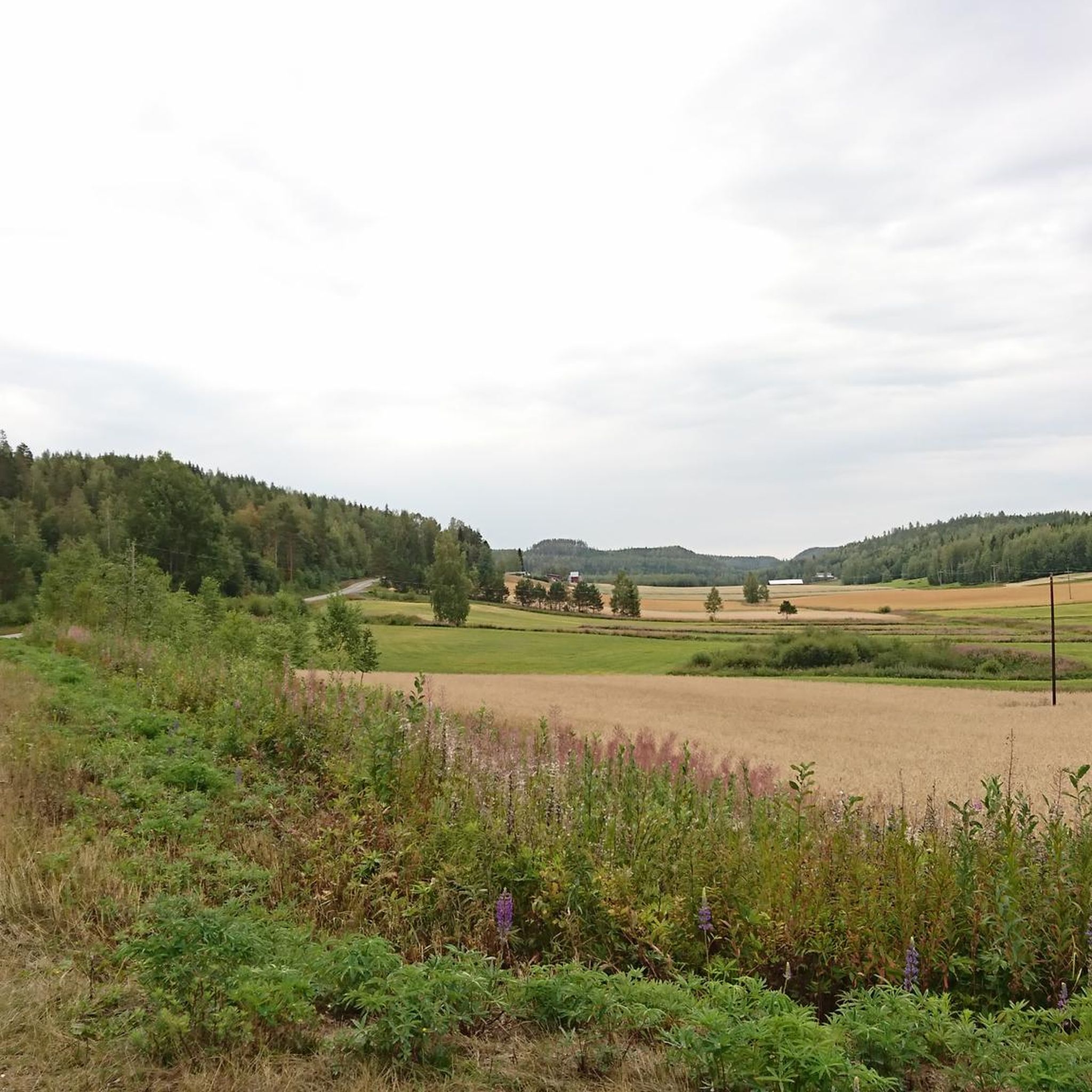
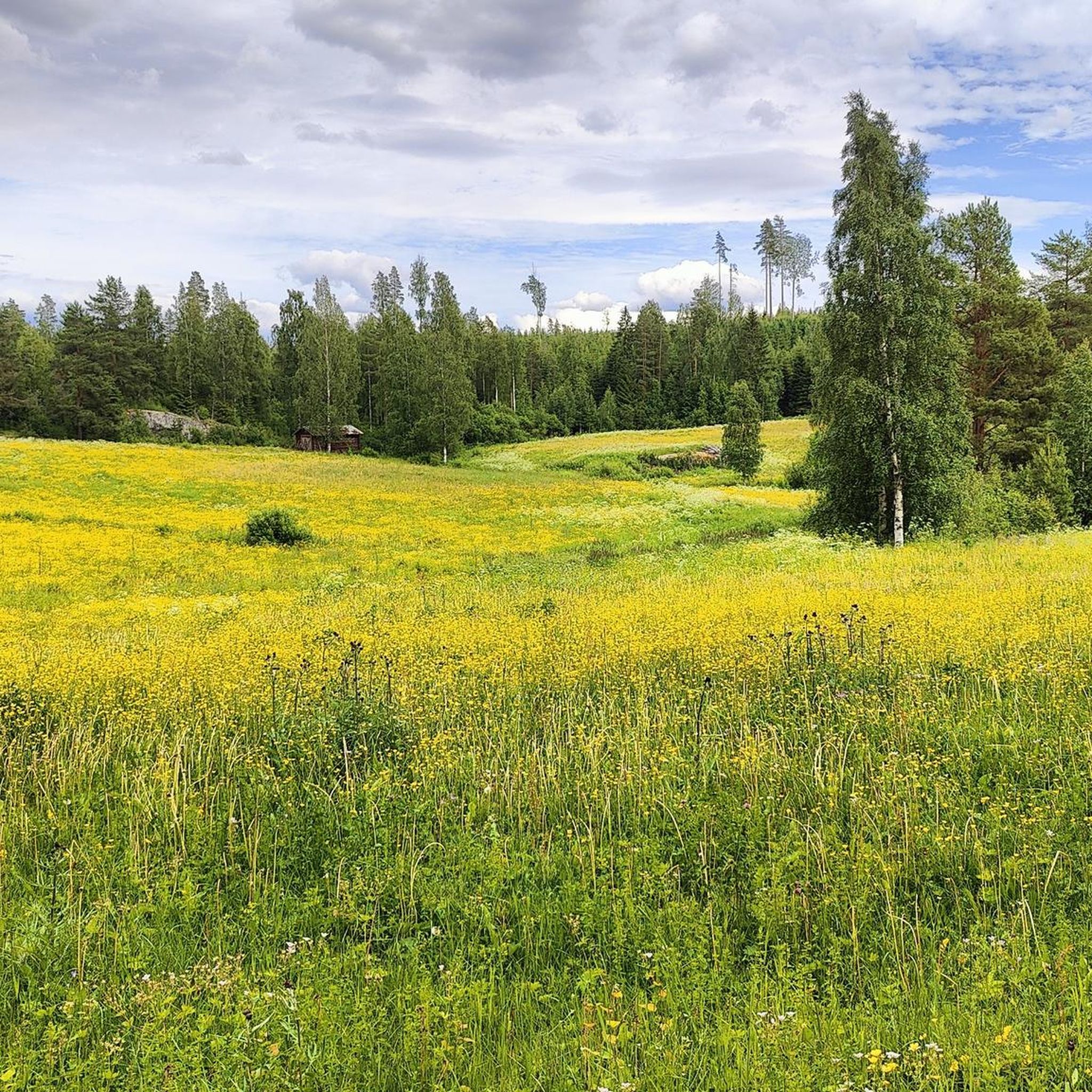
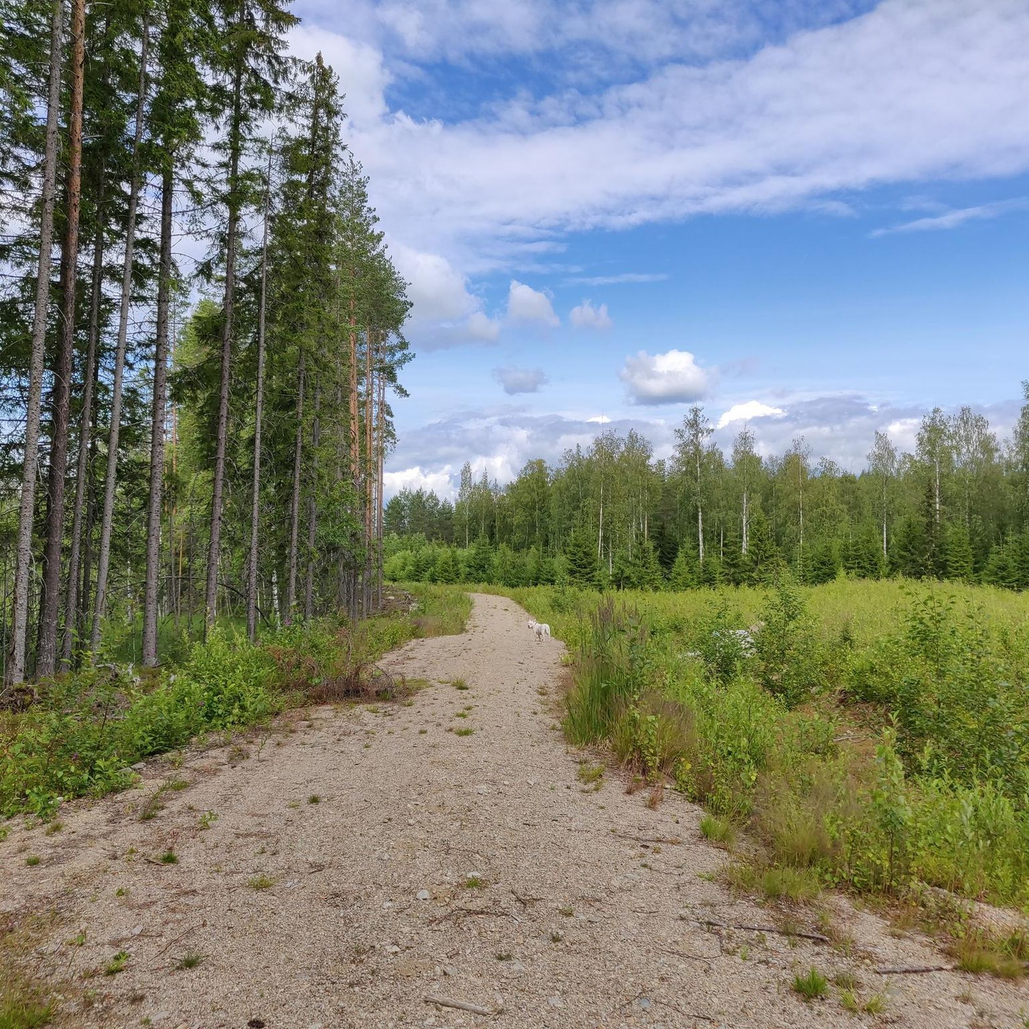
Hiking around Toivakka offers a network of trails primarily characterized by natural landscapes, including forests and areas around water bodies. The region features gentle elevation changes, making many routes accessible for various fitness levels. These paths often lead through serene Finnish countryside, providing opportunities to experience local flora and fauna.
Best hiking trails around Toivakka
- The most popular hiking route is Jääskelä Nature Trail, a 3.1 miles (5.1 km) trail that takes 1 hour 22 minutes to complete, winding…
Last updated: July 8, 2026
4.5
(2)
56
hikers
5.07km
01:22
60m
60m
Easy hike. Great for any fitness level. Easily-accessible paths. Suitable for all skill levels.
5.0
(2)
64
hikers
3.68km
00:58
30m
30m
Easy hike. Great for any fitness level. Easily-accessible paths. Suitable for all skill levels.

Sign up for free
5.0
(4)
13
hikers
9.31km
02:36
180m
180m
Moderate hike. Good fitness required. Easily-accessible paths. Suitable for all skill levels.
5
hikers
4.13km
01:10
90m
90m
Easy hike. Great for any fitness level. Easily-accessible paths. Suitable for all skill levels.
5.0
(1)
7
hikers
2.39km
00:37
10m
10m
Easy hike. Great for any fitness level. Easily-accessible paths. Suitable for all skill levels.
Get access to more routes and recommendations from other explorers.
Sign up for free
Already have an account?
Our route recommendations are based on thousands of hikes, rides, and runs completed by other people on komoot.
Start today with a free account
Your next adventure awaits.
Login or Signup

Tips from the Community

Surrounded by stillness, it’s the perfect spot to pause, breathe, and feel the serene beauty of nature.
0
0
A nice view of the water. This short river flows from Lake Muuratjärvi into Lake Päijänne, only 1.5 kilometers long but rich in atmosphere, with gentle rapids, lush riverbanks, and a 12‑meter height difference
0
0

The Koskikara Trail (3,5 kilometers) starts from Rutalahti, near Koskikara School, and follows the Rutajoki River for most of its length. Along the way, hikers can enjoy both rushing rapids and gently flowing river sections. The trail starts at Rutalahti at the former Koskikara school (street address: Koskelantie 128). The trail is marked with blue paint markers.
0
0

In this remote corner of central Finland, light a fire by this even more remote pond and enjoy the peace and solitude.
0
0
Like its lower brother, the upper Rummakko pond also is an idyllic place of tranquility.
0
0
The lower one of the two Rummakko ponds is a beautiful little natural gem and a perfect place for hikers looking for peace and quiet.
0
0
The scenically varied Jääskelä trail leads here over a pretty wooden bridge and crosses a small sea of rocks.
0
0
The hiking trail leads for a while directly along the shore of this romantic little lake and offers beautiful views of the water.
0
0
Frequently Asked Questions
How many hiking trails are available in Toivakka?
Toivakka offers a diverse network of over 30 hiking trails. These routes cater to various preferences, with a good selection of easy and moderate paths, and a few more challenging options for experienced hikers.
What kind of terrain will I encounter on hikes around Toivakka?
The hiking trails in Toivakka are primarily characterized by natural landscapes, including serene forests and areas around beautiful water bodies. You can expect gentle elevation changes, making many routes accessible for various fitness levels. The paths often lead through typical Finnish countryside, offering opportunities to observe local flora and fauna.
Are there any easy hiking trails suitable for beginners or families in Toivakka?
Yes, Toivakka has a good selection of easy trails perfect for beginners or families. For example, the Rummakko hiking trail – Huikko is an easy 4.1 km route. Another gentle option is the View of the lake – View of the Lake loop from Velakallionlampi, which is 3.6 km long and offers scenic views.
Are there any circular hiking routes in Toivakka?
Yes, many trails in Toivakka are designed as circular routes, allowing you to start and end at the same point. The View of the lake – View of the Lake loop from Velakallionlampi is a good example of a circular hike, offering a pleasant loop around the lake.
What is the best time of year to go hiking in Toivakka?
The best time to hike in Toivakka is typically from late spring through early autumn (May to September). During these months, the weather is mild, the trails are clear of snow, and the natural scenery is at its most vibrant. Autumn also offers beautiful fall foliage. Winter hiking is possible for those equipped for snow and ice, offering a different, tranquil experience.
What do other hikers enjoy most about the trails in Toivakka?
The hiking trails in Toivakka are highly rated by the komoot community, with an average score of 4.6 stars from over 60 reviews. Hikers often praise the serene natural surroundings, the well-maintained paths, and the opportunities to experience the peaceful Finnish countryside, especially around the numerous lakes and forests.
Are there any interesting landmarks or attractions to see along the hiking trails?
Yes, several trails offer access to interesting points. You might encounter lean-to shelters like Joutsniemi Lean-To Shelter or enjoy views of lakes such as Soimalampi. The region also features the notable Kärkinen Bridge, which can be a point of interest on some routes.
Are there any cafes or places to get refreshments near the hiking trails?
While many trails are immersed in nature, you can find options for refreshments. For instance, Pirkan Kahvila is a cafe located in the broader Toivakka area, which could be a convenient stop before or after your hike, depending on your chosen route.
Is there parking available at the trailheads in Toivakka?
Most popular trailheads in Toivakka, especially those for nature trails, typically offer designated parking areas. It's always a good idea to check the specific route details on komoot for information on parking facilities at your chosen starting point.
Can I reach hiking trails in Toivakka using public transport?
While Toivakka is a rural area, some public transport options might connect to the main village. However, direct public transport access to specific trailheads can be limited. For most hiking routes, driving or cycling to the starting point is often the most convenient option. We recommend checking local bus schedules for connections to Toivakka village.
What should I wear for hiking in Toivakka during spring?
In spring, the weather in Toivakka can be variable. It's best to dress in layers, including a waterproof and windproof outer shell, as rain showers are common. Comfortable, waterproof hiking boots are essential, as trails can be damp or muddy. A hat, gloves, and insect repellent are also recommended, especially as the season progresses.
Most popular attractions around Toivakka

Get inspired with the komoot mobile app


Explore more
Browse the best Hikes in other regions.
