The best walks and hikes around Taivalkoski
4.7
(62)
487
hikers
17
hikes
Hiking around Taivalkoski offers access to a diverse natural environment in northern Finland, characterized by vast pine forests, numerous pristine lakes, and varied topography including fells and ridges. The region is situated amidst four national parks, with a significant portion of Syöte National Park and its highest point, Pyhitystunturi, located within Taivalkoski. The Iijoki River flows through the area, adding to the scenic beauty, alongside marshlands and natural gorges like Pahkakuru. This landscape provides a wide network of trails for…
Last updated: August 17, 2026
4.7
(7)
29
hikers
11.4km
02:53
30m
30m
Moderate hike. Good fitness required. Easily-accessible paths. Suitable for all skill levels.
4.8
(4)
29
hikers
5.88km
01:32
40m
40m
Easy hike. Great for any fitness level. Easily-accessible paths. Suitable for all skill levels.

Sign up for free
5.0
(5)
36
hikers
5.69km
01:27
20m
20m
Easy hike. Great for any fitness level. Easily-accessible paths. Suitable for all skill levels.
19
hikers
3.63km
01:06
120m
120m
Easy hike. Great for any fitness level. Easily-accessible paths. Suitable for all skill levels.
4.5
(4)
13
hikers
2.64km
00:40
0m
0m
Easy hike. Great for any fitness level. Easily-accessible paths. Suitable for all skill levels.
Get access to more routes and recommendations from other explorers.
Sign up for free
Already have an account?
Our route recommendations are based on thousands of hikes, rides, and runs completed by other people on komoot.
Start today with a free account
Your next adventure awaits.
Login or Signup

Tips from the Community

The wooden footbridge to the bridge is difficult to find in winter.
0
0

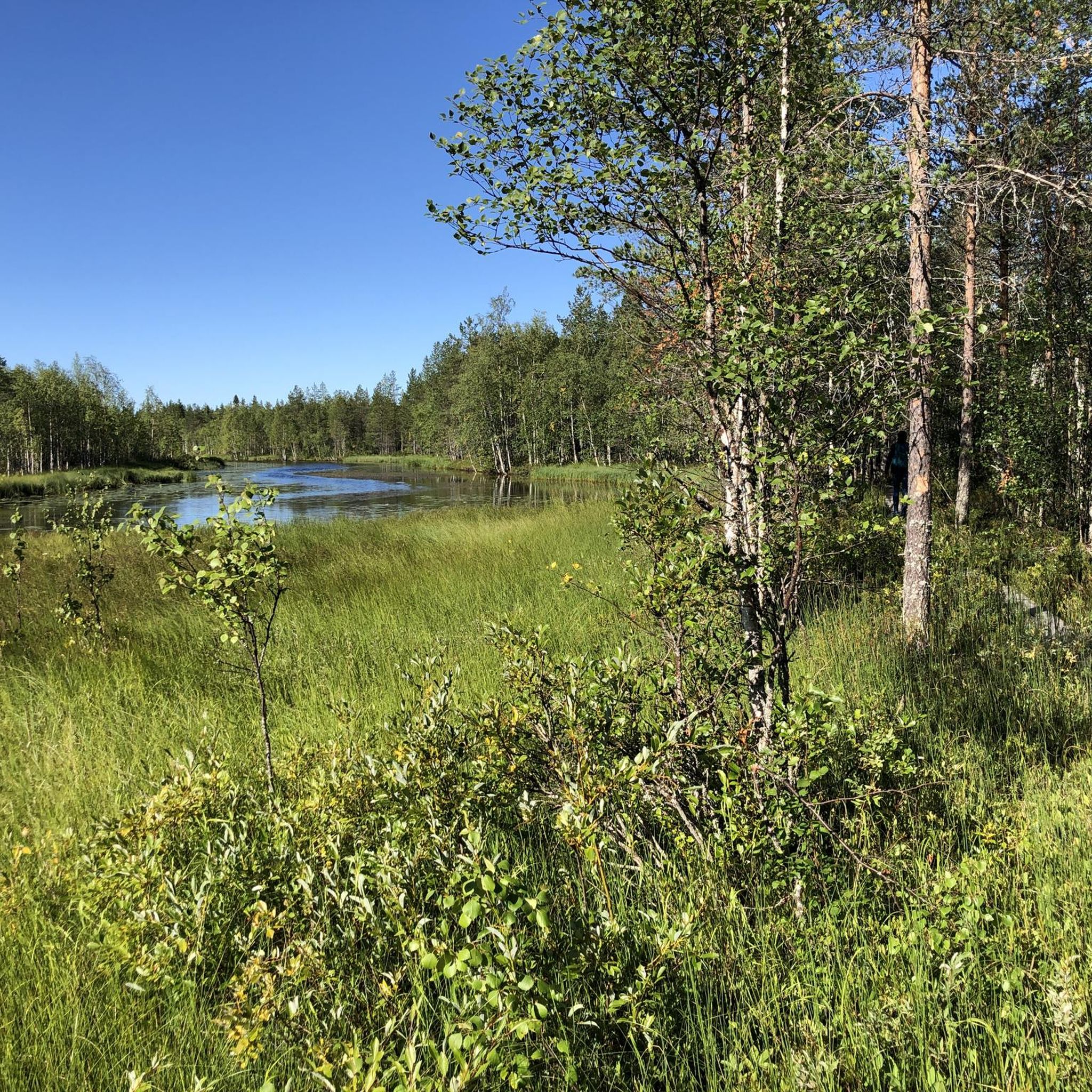
This charming wooden bridge spanning the serene Tyräjoki River is a hidden gem for nature lovers. Surrounded by lush greenery, it offers a peaceful spot to pause and take in the idyllic scenery.
0
0
Discover the Esker landscape at Soiperoinen Lake on this hiking trail, a stunningly easy route through Finland's natural beauty! This trail offers a serene walk with minimal elevation changes and is ideal for all fitness levels. Nestled in Taivalkoski, the path features breathtaking views of the esker landscapes and tranquil lakes.
0
0

Nice barbecue area at Tyräjoki. The boat dock is a few meters further. Firewood is actually always on site.
1
0
Whether summer or winter, you can spend wonderfully relaxed and / or eventful days in Saija. My favorite accommodation is the Kokkoniemi hut. A little more out of the way, with a boat and access to Jokijärvi, barbecue hut and sauna.
2
0
Frequently Asked Questions
What kind of landscapes can I expect to see while hiking in Taivalkoski?
Taivalkoski offers a diverse natural environment characterized by vast pine forests, numerous pristine lakes, and varied topography including fells and ridges. You'll find enchanting marshlands, the magnificent Iijoki River, and natural gorges like Pahkakuru. The region is also situated amidst four national parks, including a significant portion of Syöte National Park.
Are there any easy or beginner-friendly hiking trails in Taivalkoski?
Yes, Taivalkoski has plenty of easy trails suitable for beginners or those looking for a relaxed walk. For instance, the Soiperoine Trail - Syöte National Park is an easy 5.9 km route exploring serene lakes and forests. Another option is the Pyhitys loop from Taivalkoski, an easy 3.6 km trail leading to Pyhitystunturi with views of Lake Kostonjärvi.
What are some notable natural features or landmarks to look out for on the trails?
Hikers can discover several interesting natural features. The Simosenpolku trail features the Isosuo bird watch tower, excellent for observing local birdlife. You might also encounter the magnificent Pahkakuru Gorge, or enjoy views from Pyhitystunturi, the highest fell in Syöte National Park. Other nearby highlights include the Julma-Ölkky Suspension Bridge and the ancient Rock paintings – Värikallio.
Are there any circular hiking routes available in Taivalkoski?
Yes, several trails in Taivalkoski are designed as loops, offering a convenient way to explore without retracing your steps. Examples include the Pyhitys loop from Taivalkoski, the Katkeima loop from Toranki, and the Hiking loop from Kalle Päätalon. The Taivalvaara hill also offers the Näköalapolku Scenic trail, a 5 km loop with rewarding views.
What do other hikers say about the trails in Taivalkoski?
The hiking routes in Taivalkoski are highly regarded by the komoot community, holding an average rating of 4.7 stars from over 50 reviews. Hikers often praise the quiet woodlands, pristine lakes, and well-marked paths that make for an enjoyable outdoor experience. Over 400 hikers have already used komoot to explore the varied terrain here.
Can I bring my dog on the hiking trails in Taivalkoski?
Generally, dogs are welcome on most hiking trails in Finland, including those in Taivalkoski, provided they are kept on a leash. However, specific rules may apply in national parks or protected areas, so it's always best to check local regulations for the particular trail you plan to visit to ensure a pleasant experience for everyone.
Are there any family-friendly hiking options in Taivalkoski?
Absolutely. Many trails in Taivalkoski are suitable for families, offering shorter distances and easier terrain. The Hiking loop from Kalle Päätalon is a short 2.6 km easy route. The Taivalvaara hill also features the family-friendly Fairy Tail Trail (Satupolku), designed to engage younger hikers.
What is the best time of year to go hiking in Taivalkoski?
Taivalkoski offers distinct hiking experiences throughout the year. Summer, with its midnight sun, is ideal for long days on the trails. Autumn brings stunning fall foliage. While winter transforms the region into a snowy paradise for activities like cross-country skiing, some hiking trails may be less accessible or require snowshoes. Spring offers a chance to see nature reawaken.
Are there opportunities for birdwatching along the trails?
Yes, Taivalkoski is a great spot for birdwatching. The Simosenpolku trail features the Isosuo bird watch tower, located in a swamp environment. Additionally, the Turvakonalus bird tower by the Iijoki River offers excellent opportunities to observe local birdlife in an estuary setting.
How many hiking trails are there in the Taivalkoski area?
Komoot features over a dozen hiking routes around Taivalkoski, catering to various skill levels. This includes 13 easy trails and 4 moderate trails, ensuring there's something for everyone, from casual walkers to more experienced hikers.
What other outdoor activities can I do in Taivalkoski besides hiking?
Beyond hiking, Taivalkoski offers a wide array of year-round outdoor activities. In summer, you can enjoy long-distance biking, canoeing in its calm waters or adventurous rapids, and fishing in its crystal-clear lakes and rivers. Winter transforms the region into a paradise for cross-country skiing, snowmobiling, and ice fishing. White-water rafting on the Oulanka River is also an option.
Are there any challenging hikes in Taivalkoski?
While many trails are easy to moderate, the region's proximity to national parks like Oulanka means access to more demanding expeditions. The renowned Karhunkierros Trail (Bear's Ring), considered one of Europe's most beautiful, is accessible in the Taivalkoski area and offers a challenging 80 km route primarily within Oulanka National Park.
Most popular attractions around Taivalkoski

Get inspired with the komoot mobile app


Explore more
Browse the best Hikes in other regions.
