The best cycling routes around Lumparland
4.3
(20)
139
riders
9
rides
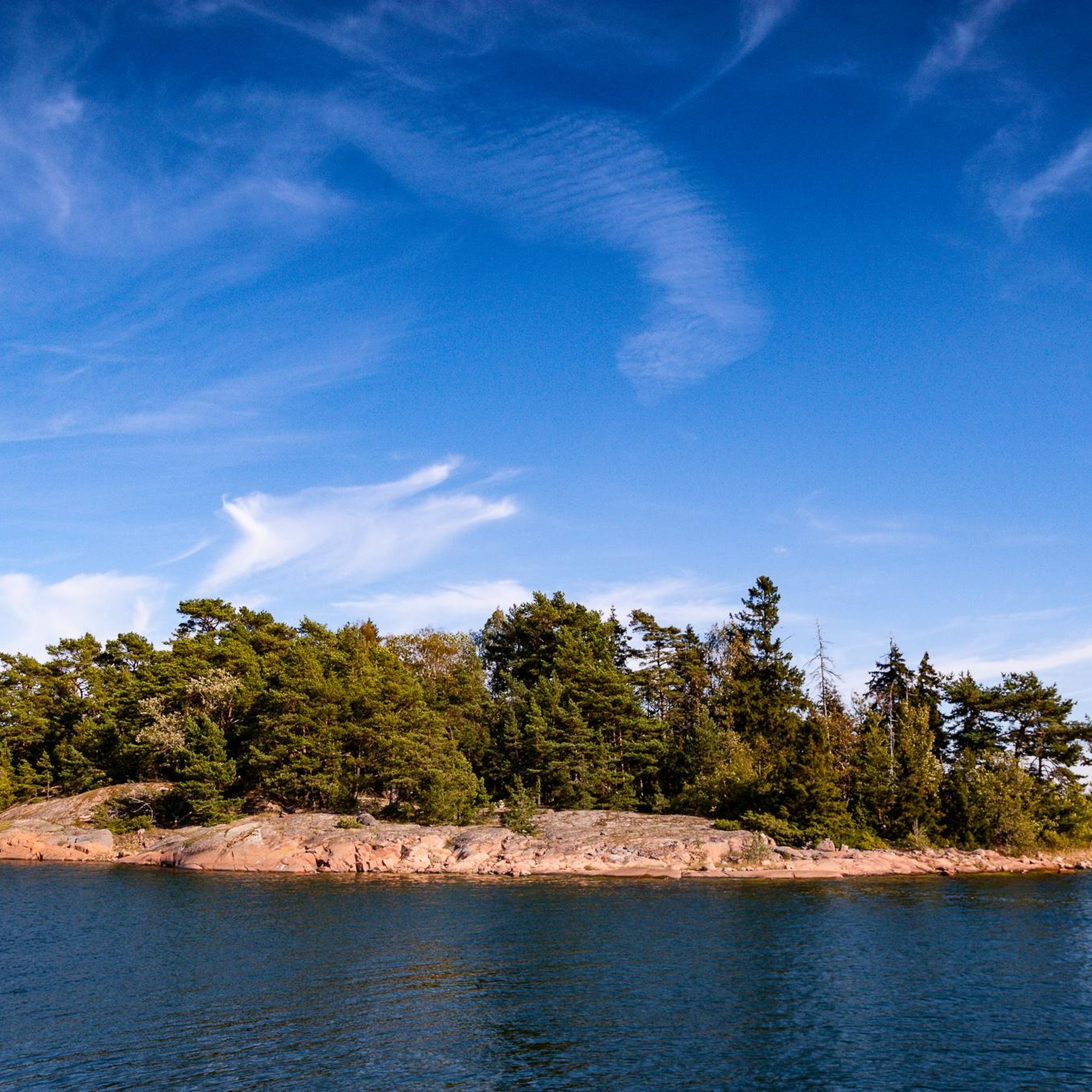
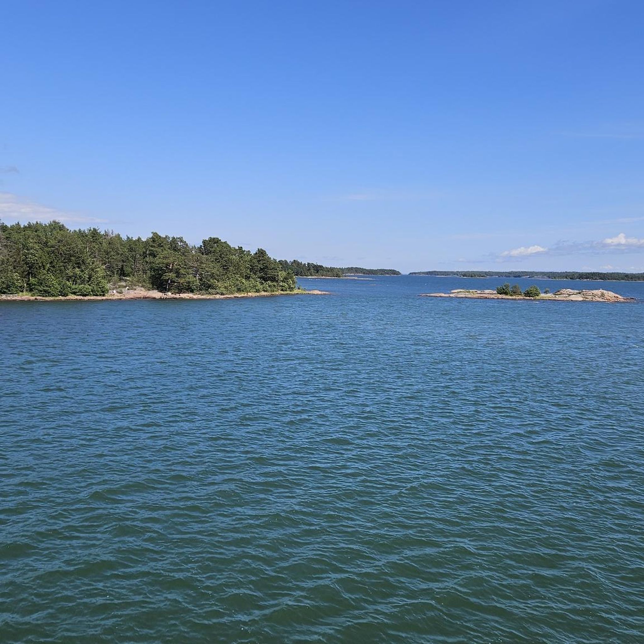
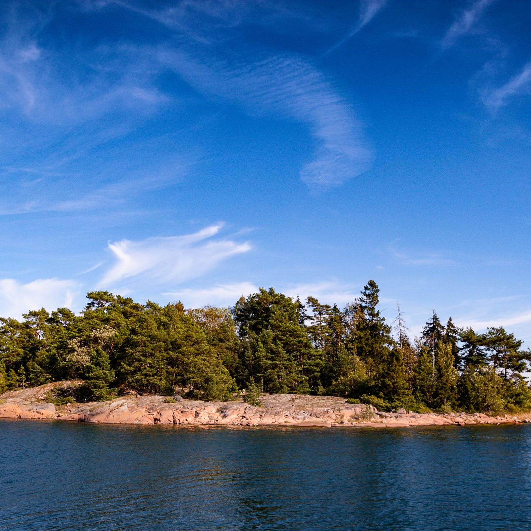
Touring cycling around Lumparland offers routes through an archipelago landscape characterized by small village centers, old pastures, and forests, with the sea consistently in view. The region features well-maintained roads and dedicated bicycle paths, ensuring a suitable environment for cycling. Terrain varies from easy, flat sections to moderate and difficult routes with greater elevation gain. Distances between points of interest are generally short, making the area accessible for various cycling preferences.
Best touring cycling routes around Lumparland
- The most popular…
Last updated: August 20, 2026
3.9
(10)
29
riders
Moderate bike ride. Good fitness required. Mostly paved surfaces. Suitable for all skill levels.
5.0
(1)
26
riders
Moderate bike ride. Good fitness required. Mostly paved surfaces. Suitable for all skill levels.

Sign up for free
5.0
(2)
20
riders
34.2km
01:56
130m
130m
Easy bike ride. Great for any fitness level. Mostly paved surfaces. Suitable for all skill levels.
5.0
(3)
16
riders
Hard bike ride. Very good fitness required. Mostly paved surfaces. Suitable for all skill levels.
4.0
(1)
7
riders
31.5km
01:47
110m
110m
Easy bike ride. Great for any fitness level. Mostly paved surfaces. Suitable for all skill levels.
Get access to more routes and recommendations from other explorers.
Sign up for free
Already have an account?
Our route recommendations are based on thousands of hikes, rides, and runs completed by other people on komoot.
Start today with a free account
Your next adventure awaits.
Login or Signup
Popular around Lumparland
Tips from the Community

In parts of Europe, in Norway, Denmark and parts of Finland, the tradition of Midsummer fires (Kokko, Sankt Hansbål etc.) still survives instead of pole erection. This also occurred in Sweden, mainly in Skåne, Bohuslän and Jämtland.
0
0
On Åland and in the Swedish-speaking areas of the Finnish archipelago, the Midsummer pole is the most important attribute of Midsummer. The most common Midsummer pole in Sweden has a horizontal beam, so the pole is shaped like a cross, and a wreath is attached to the beam at the far end of each arm. The appearance varies both locally and regionally.
0
0
A Midsommerpole or Maypole is a pole that is decorated with leaves and flowers and is erected and used at a certain time in festive forms and celebrated with food, drink and dance. The festival falls on different occasions in different parts of the world, such as May Day, Pentecost or Midsummer. Sometimes the maypole is a permanent installation that is only taken down to be re-leafed before the annual raising at the festival, but it can also be created and erected specifically for the festival and taken down again a few days later. https://sv.wikipedia.org/wiki/Midsommarst%C3%A5ng
0
0

Entry on a donation basis. Please feel free to take advantage of the very informative guided tour offered by the staff. Interesting insights into school life and family life at the beginning of the 20th century.
0
0
Many travellers on their way to Finland along the Mail Road embarked on a boat in Bomarsund and then sailed past Vårdö. Those who accompanied the postmen on their journeys often disembarked in Båthusviken in Vargata The village inn, contemporary with the Mail Road, offered travellers room and board. The Mail Road then passes the stone church of Vårdo, the oldest parts of which probably date back to the 15th century. In the village of Vårdo was also the post office house where postmen used to gather before embarking on their journeys. The seaway east from Hullvik to Marskil in Kumlinge was, next to the passage across the Aland Sea, the most demanding part of the journey from Sweden to Finland. The wide strait of Delet could be hazardous in bad weather and when the ice was unsafe.
0
0
This was Queen Christina's Road The old mail road via Vårdö is slightly more than five kilometres long and runs from the village harbour of Vargata to Hullvik in the village of Vårdö. Up to the second half of the 19th century the mail road was the only real country road in this vast archipelago parish. When the Swedish Post Office Administration was established in 1636 the farms of Vårdö were divided into six postal districts, which in turn were responsible for the transportation of mail and people across the strait of Vargata to the mainland of Åland and across the strait of Delet to Kumlinge in the east. The different parts of the Mail Road in Vårdö are still being used and some stretches have been only slightly altered in the past century. Since the modern main road was constructed the stretch from the centre of Vargata to the place where this sign stands is, however, a far cry from the old mail road. The most well-preserved part is the stretch from the village of Vårdo further north-east to Hullvik, where the mail jetty used to be.
0
0
A rest area offers billboards with information about the island, a dry toilet, childern playground and picnic tables.
0
0
Remarkably beautiful open-air museum with free admission. Next to each house, there is brief information about the construction period, origin, and use, also in English.
1
0
Frequently Asked Questions
What kind of terrain can I expect when cycling in Lumparland?
Lumparland offers a diverse cycling experience, characterized by its beautiful archipelago nature. You'll encounter idyllic small village centers, old pastures, meadows, and forests, with the sea always within easy reach. The roads are generally well-maintained, often with dedicated bicycle paths, and terrain varies from easy, flat sections to more challenging routes with greater elevation gain.
Are there cycling routes suitable for families in Lumparland?
Yes, Lumparland is well-suited for family cycling. The region features many easy routes and comfortably short distances between points of interest. For example, the Överö Ferry Terminal – Embarsundslinjen Ferry loop from Degerby is an easy 21.2-mile (34.2 km) trail that takes you through varied island scenery and incorporates ferry connections, making for an engaging family adventure.
What historical sites can I visit while cycling in Lumparland?
Lumparland and its surroundings are rich in history. You can cycle to significant landmarks such as the Bomarsund Fortress Ruins, a major historical site. Longer routes, like the difficult Bomarsund Fortress Ruins – Kastelholm Castle loop from Finby, can also take you to the historic Kastelholm Castle, located approximately 14 km from Lumparland, and the Jan Karlsgården Open-Air Museum.
Are there any unique natural features or landmarks to see along the cycling routes?
Absolutely. The constant presence of the archipelago scenery, with its sea vistas, meadows, and cliff formations, is a highlight. A notable man-made feature is the Lemström Canal, a paved shipping route connecting Lemland and Lumparland, which features a swing bridge that opens hourly during the summer, adding an interesting stop to your ride.
What is the best time of year to go touring cycling in Lumparland?
The summer months are generally ideal for touring cycling in Lumparland. During this time, the weather is pleasant, and the archipelago ferries, which are an integral part of many cycling routes connecting different islands, operate frequently. This allows for a full exploration of the region's unique island-hopping cycling experience.
Are there circular cycling routes available in Lumparland?
Yes, many of the touring cycling routes in Lumparland are designed as loops, offering convenient starting and ending points. For instance, the popular Bomarsund Fortress – Bomarsund Fortress Ruins loop from Prästö is an 18.9-mile (30.4 km) trail that allows you to explore the historic ruins and surrounding archipelago without retracing your steps.
What do other touring cyclists enjoy most about cycling in Lumparland?
The area is highly rated by the komoot community, with an average score of 4.3 stars from over 19 reviews. Reviewers often praise the stunning archipelago scenery, the well-maintained roads and dedicated bicycle paths, and the unique experience of incorporating archipelago ferries into their cycling journeys. The blend of physical activity, scenic views, and cultural exploration is frequently highlighted.
Where can I find accommodation or places to eat along the cycling routes?
You'll find various options for accommodation and refreshments. Campsites and guesthouses are available, often located by the shore. For example, Puttes Camping Ground offers amenities such as swimming spots, bungalows, and restaurants. Additionally, the small village centers you pass through often have local eateries.
How can I access the cycling routes, and is parking available?
Access to cycling routes in Lumparland is generally straightforward. Many routes start from easily accessible points, and parking is typically available near trailheads or points of interest. For routes involving island hopping, ferry terminals like Överö Ferry Terminal serve as key access points.
Are there options for more challenging touring cycling routes in Lumparland?
While many routes are easy, Lumparland also offers options for more moderate and difficult bike rides with greater elevation gain. For example, the Bomarsund Fortress Ruins – Kastelholm Castle loop from Finby is a difficult 52.5-mile (84.6 km) route with significant elevation, catering to experienced cyclists looking for a longer and more strenuous adventure.
What makes cycling in the Åland Islands, specifically Lumparland, unique?
Cycling in Lumparland and the wider Åland Islands is unique due to its distinctive archipelago setting. The journey often involves short distances between points of interest, excellent road conditions, and the adventurous element of continuing your ride with archipelago ferries that connect different islands. This allows for a dynamic exploration of stunning scenery, historical sights, and diverse natural beauty.
Most popular routes around Lumparland
Most popular attractions around Lumparland

Get inspired with the komoot mobile app


Explore more
Browse the best Cycling routes in other regions.
