The best walks and hikes around Salo
4.7
(147)
1,376
hikers
73
hikes
Hiking around Salo offers diverse landscapes, from the shores of Lake Garda to the surrounding hills and mountains. The region is characterized by the blue waters of Lake Garda, the foothills of the Alps including Monte San Bartolomeo and Monte Covolo, and the gentle, green hills of the Valtenesi landscape. Additionally, the Valle delle Cartiere provides scenic trails through forested areas and past historical paper mills, all within or near the protected Comunità Montana Parco Alto Garda Bresciano.
Best hiking…
Last updated: August 27, 2026
4.9
(55)
447
hikers
5.30km
01:22
30m
30m
Easy hike. Great for any fitness level. Easily-accessible paths. Suitable for all skill levels.
4.9
(21)
194
hikers
8.37km
02:15
110m
100m
Moderate hike. Good fitness required. Easily-accessible paths. Suitable for all skill levels.

Sign up for free
4.4
(5)
17
hikers
6.38km
01:42
60m
60m
Easy hike. Great for any fitness level. Easily-accessible paths. Suitable for all skill levels.
5.0
(2)
10
hikers
14.7km
03:48
90m
90m
Hike the moderate 9.1-mile Lankkeri Hiking Trail in Teijo National Park, featuring diverse forests, lakes, and the Plateau Above Sahajärvi.
3
hikers
10.0km
02:38
80m
80m
Hike the moderate 6.2-mile Tapaninkierros Trail in Teijo National Park, exploring diverse forests and rocky areas with a viewpoint.
Get access to more routes and recommendations from other explorers.
Sign up for free
Already have an account?
Our route recommendations are based on thousands of hikes, rides, and runs completed by other people on komoot.
Start today with a free account
Your next adventure awaits.
Login or Signup
Popular around Salo
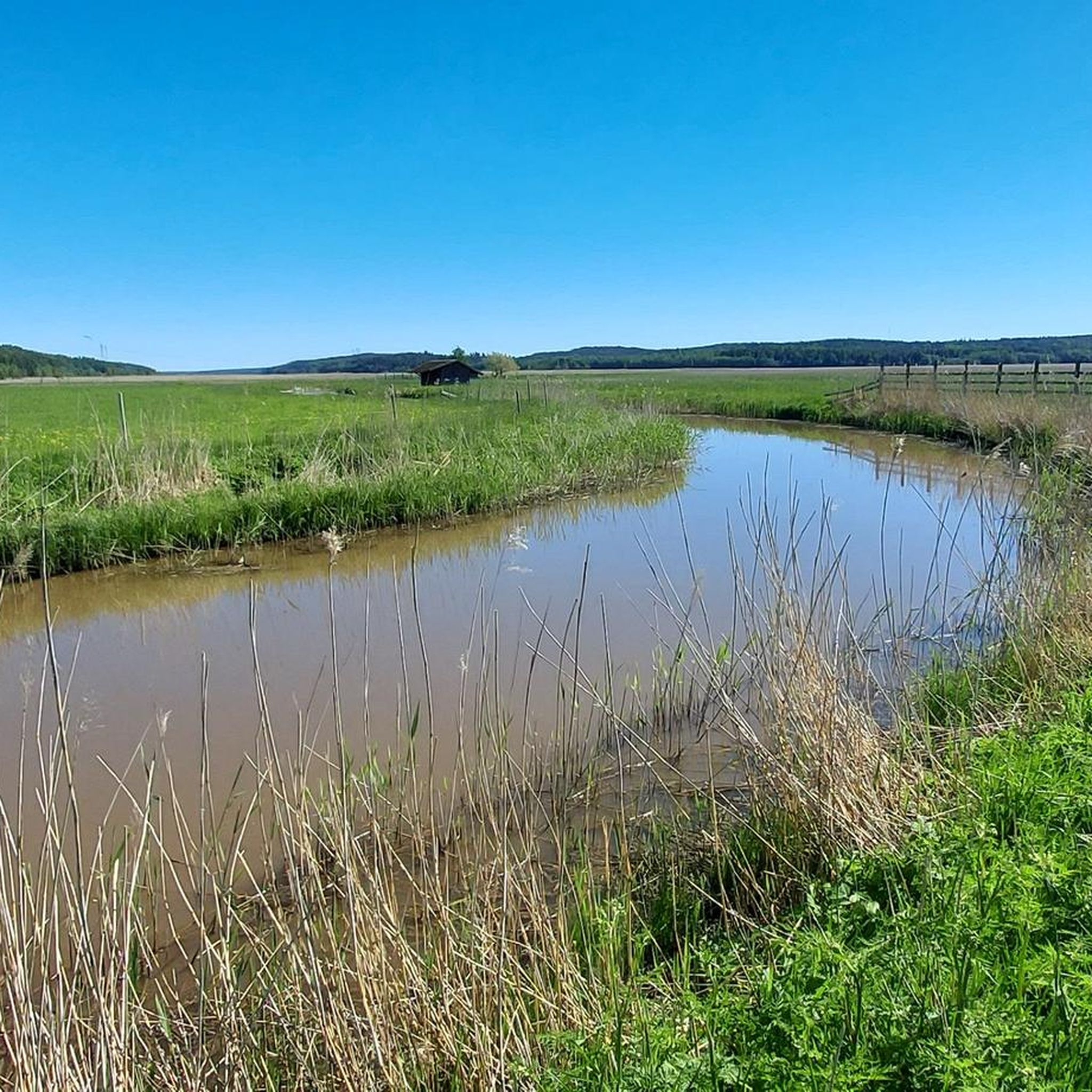
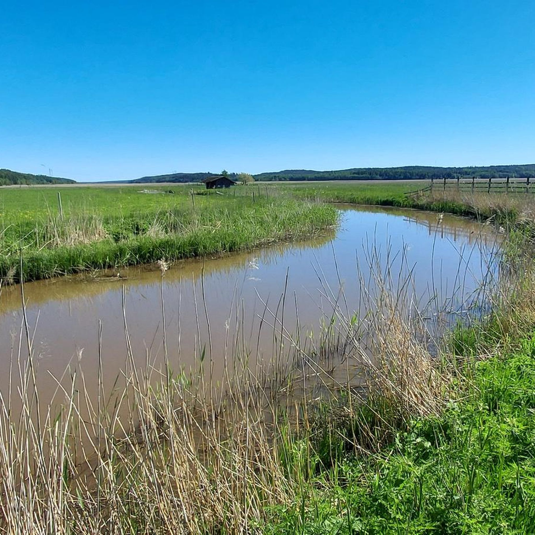
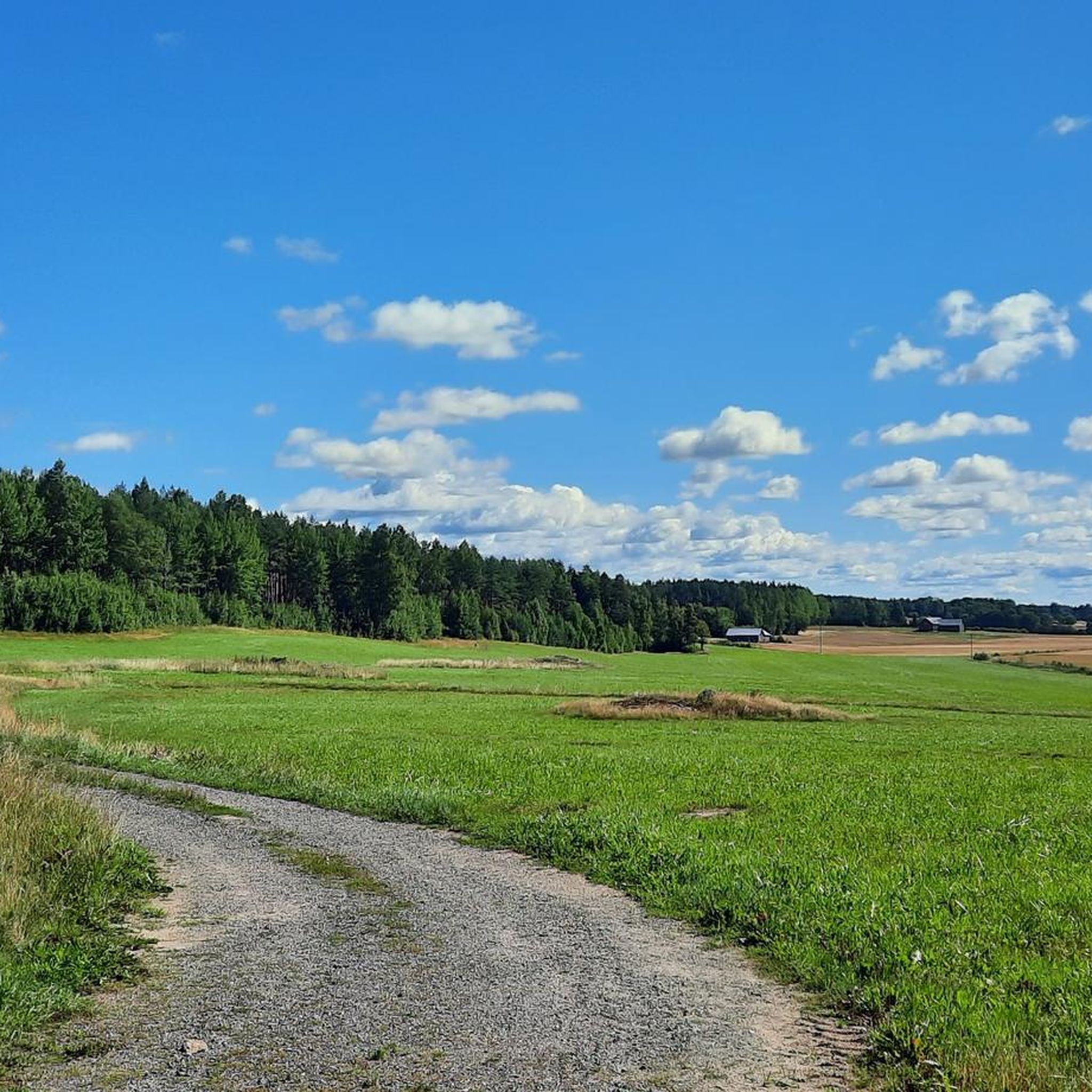
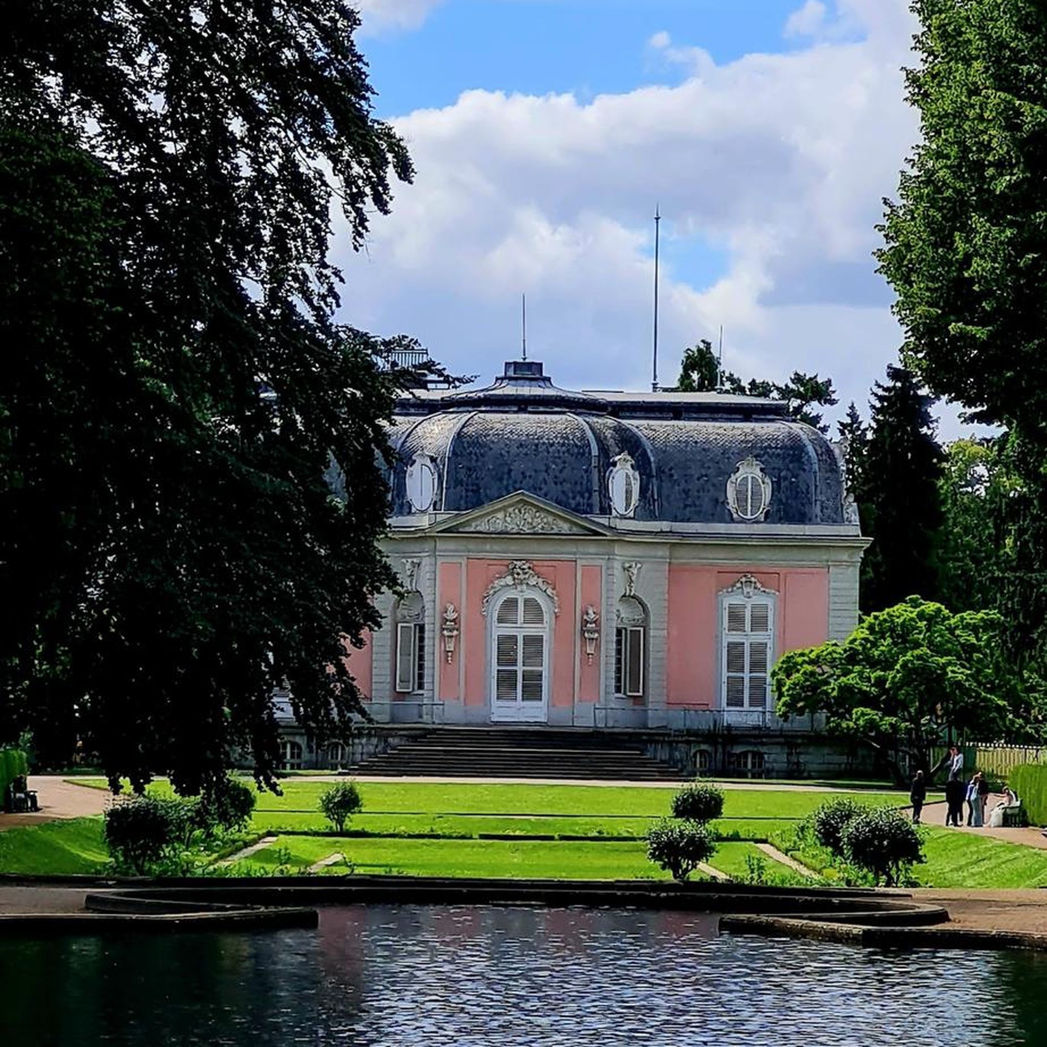


Tips from the Community

This gorgeous rocky plateau provides views across Teijo National Park. It forms a part of the 9-kilometre Sahajärvi Trail, the longest loop in the national park.
0
0


At the moment the bridge is unfortunately broken due to storm
0
0

From the path you can look directly at the lake.
1
0
A beautifully landscaped path that helps keep your feet dry.
1
0

A lean-to shelter with nice views to the lake.
0
0

Frequently Asked Questions
What types of hiking trails can I find around Salo?
Salo offers a diverse range of hiking trails, from easy lakeside strolls to more challenging mountain climbs. You'll find paths winding through the gentle, green hills of Valtenesi with vineyards and olive groves, forested areas, and routes offering continuous views of Lake Garda. The region includes trails in the foothills of the Alps, such as Monte San Bartolomeo and Monte Covolo, and historical paths like those in the Valle delle Cartiere.
How many hiking routes are available in the Salo area?
There are over 70 hiking routes available around Salo, catering to various skill levels. This includes approximately 49 easy routes, 23 moderate routes, and 1 difficult route, ensuring options for everyone from casual walkers to experienced hikers.
Are there any family-friendly hiking trails in Salo?
Yes, Salo has several family-friendly options. For an easy and peaceful experience, consider the Lake Matildanjärvi Trail – Teijo National Park, which is 5.3 km long. Another good choice is the Isohärjänmäki Fitness Track loop - Salo, a shorter 2.6 km easy route perfect for a quick outing with children.
Can I find circular hiking routes around Salo?
Yes, many trails around Salo are designed as circular routes, allowing you to start and end at the same point. A notable example is the Western loop of Lake Sahajärvi — Teijo National Park, an easy 6.4 km trail through forested areas. The popular trek to San Bartolomeo and the Croce di Salò is also often done as a loop, offering panoramic views.
Are there any hiking trails with waterfalls near Salo?
Yes, the region offers trails that feature waterfalls. The 'Sanctuary of Madonna del Rio – Waterfall Trail Near Renzano loop' is a moderate 12.1 km hike known for its peaceful scenery, a waterfall, and lakeside views. Another option is the CAI Trail 216 to Santuario Madonna del Rio, which leads to a historic sanctuary with a waterfall backdrop.
What kind of views can I expect on hikes around Salo?
Hikers around Salo are treated to continuous vistas of Lake Garda's blue waters, framed by green hills and mountains. Trails often lead to panoramic points like the Croce di Salò on Monte San Bartolomeo, offering expansive views over the entire southern part of Lake Garda and the Gulf of Salo. You'll also encounter scenic forested paths and views of vineyards and olive groves in the Valtenesi landscape.
What do other hikers say about the trails in Salo?
The hiking routes in Salo are highly rated by the komoot community, with an average score of 4.8 stars from over 100 reviews. Hikers often praise the diverse landscapes, the stunning lake views, and the variety of trails suitable for different abilities.
Are there any historical or cultural sites along the hiking trails?
Many hiking trails around Salo incorporate elements of local history and culture. You can pass by ancient chapels, historic sanctuaries like Madonna del Rio, Madonna del Buon Consiglio, and San Bartolomeo. The Valle delle Cartiere (Valley of Paper Mills) offers trails that wind past the ruins of old paper mills dating back to the Middle Ages, blending nature with industrial history.
What are some longer, moderate hiking options in Salo?
For a longer, moderate outing, consider the Lake Sahajärvi Trail, which is 8.4 km and features varied terrain around the lake. Another option is the Lankkeri Hiking Trail, a 14.6 km route that provides a good challenge for those looking for a longer day hike.
Are there any specific attractions or points of interest to look out for on the trails?
Yes, several points of interest can be found near or along the trails. You might encounter a Beautiful wooden bridge or a Rope Ferry at Sahajärvi. For those interested in cultural landmarks, the Tenhola Medieval Church is also in the vicinity of some routes.
What is the best time of year to go hiking in Salo?
Salo's location on Lake Garda and its diverse landscapes make it suitable for hiking across multiple seasons. Spring and autumn generally offer pleasant temperatures and vibrant scenery, with fewer crowds. Summer is also popular, especially for lakeside trails, though mountain routes might be warmer. Always check local weather conditions before heading out.
Are there opportunities for swimming near hiking trails in Salo?
Yes, given Salo's location on Lake Garda, there are opportunities for swimming. You can find a designated Swimming area in Teijo National Park or a general Lakeside Swimming Spot, perfect for cooling off after a hike.
Most popular attractions around Salo

Get inspired with the komoot mobile app


Explore more
Browse the best Hikes in other regions.
