The best walks and hikes around Nurmijärvi
4.7
(205)
2,398
hikers
15
hikes
Hiking around Nurmijärvi offers diverse landscapes, characterized by a blend of picturesque farmland, dense forests, and nature trails. The region features varying elevations, including the significant Salpausselkä ridge in its northern parts. Small lakes and rivers, such as the Vantaa River with its rapids, contribute to the varied terrain. This municipality provides accessible natural escapes for outdoor enthusiasts.
Best hiking trails in Nurmijärvi
- The most popular hiking route is Loop around Sääksjärvi Lake, an 8.0 miles (13.0 km) trail…
Last updated: July 5, 2026
5.0
(1)
12
hikers
13.0km
03:21
70m
70m
Moderate hike. Good fitness required. Easily-accessible paths. Suitable for all skill levels.
5
hikers
9.47km
02:36
160m
160m
Moderate hike. Good fitness required. Mostly accessible paths. Sure-footedness required.

Sign up for free
5.0
(2)
42
hikers
8.33km
02:08
40m
40m
Moderate hike. Good fitness required. Easily-accessible paths. Suitable for all skill levels.
4.7
(3)
42
hikers
3.97km
01:03
40m
40m
Easy hike. Great for any fitness level. Easily-accessible paths. Suitable for all skill levels.
5.0
(1)
21
hikers
4.45km
01:09
30m
30m
Easy hike. Great for any fitness level. Easily-accessible paths. Suitable for all skill levels.
Get access to more routes and recommendations from other explorers.
Sign up for free
Already have an account?
Our route recommendations are based on thousands of hikes, rides, and runs completed by other people on komoot.
Start today with a free account
Your next adventure awaits.
Login or Signup
Tips from the Community

Myllysilta is a former museum bridge made of wood in Metsäkylä, Palojoki, Nurmijärvi. It crosses the Vantaanjoki river at Myllykoski, south of Siippoontie. Myllysilta was completed in 1966 and was the youngest of the Finnish Transport Agency's museum bridges. The bridge is a four-span truss bridge, with a span length of 6 m in the two middle spans and 7.5 m in the edge spans. The total length of the bridge is 50.8 m and the usable width is 5.7 m.[1] The bridge was designed by diploma engineer Eino Kokkonen. Myllysilta is atypical for a bridge of the 1960s; the truss bridge was a commonly used bridge type in the 19th century. With truss bridges, it was possible to cross long spans by using multiple trusses and adding buckling support.[2] Myllysilta is considered a successful example of its kind, suitable for the steep-banked Myllykoski.[3][4] The bridge was designated a museum bridge in 1982. The reason given for the selection was that the bridge was of good quality in both design and execution. It combined modern engineering knowledge with traditional carpentry skills.[5] The bridge is included in the nationally significant built cultural environments inventoried by the National Board of Antiquities, under the thematic site of museum bridges. Source: https://fi.wikipedia.org/wiki/Myllysilta_(Nurmij%C3%A4rvi)#:~:text=Myllysilta%20on%20puurakenteinen%20entinen%20museosilta,se%20oli%20nuorin%20Liikenneviraston%20museosilloista.
0
0
You can reach Myllykoski by car by turning towards Siipoo from the Nurmijärvi exit of the Helsinki-Tampere motorway. The parking lot is shortly after the exit on the left side of the road when driving towards Siipoo. Buses coming from the direction of Helsinki and Hämeenlinna stop at the Nurmijärvi th stop if necessary, from where it is about a 300-meter walk to Myllykoski. There is a bike path connection to Myllykoski from Nurmijärvi church village. From Maaniittu sports park, you can walk to Myllykoski via an outdoor trail (see outdoor trail below).
0
0

On the Alhonniittu Fitness and Ski Track you get beautiful views.
0
0
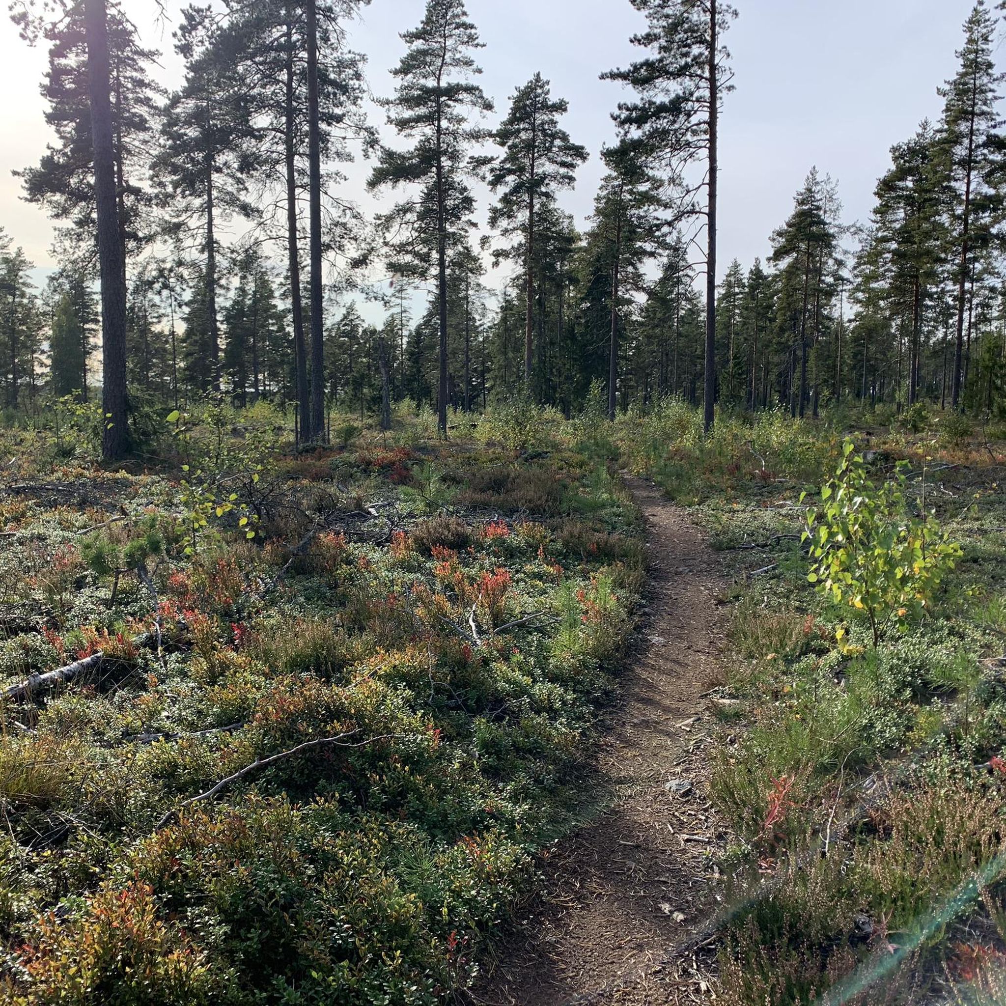
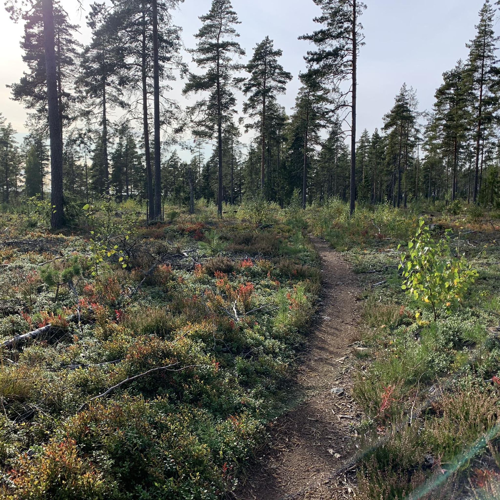
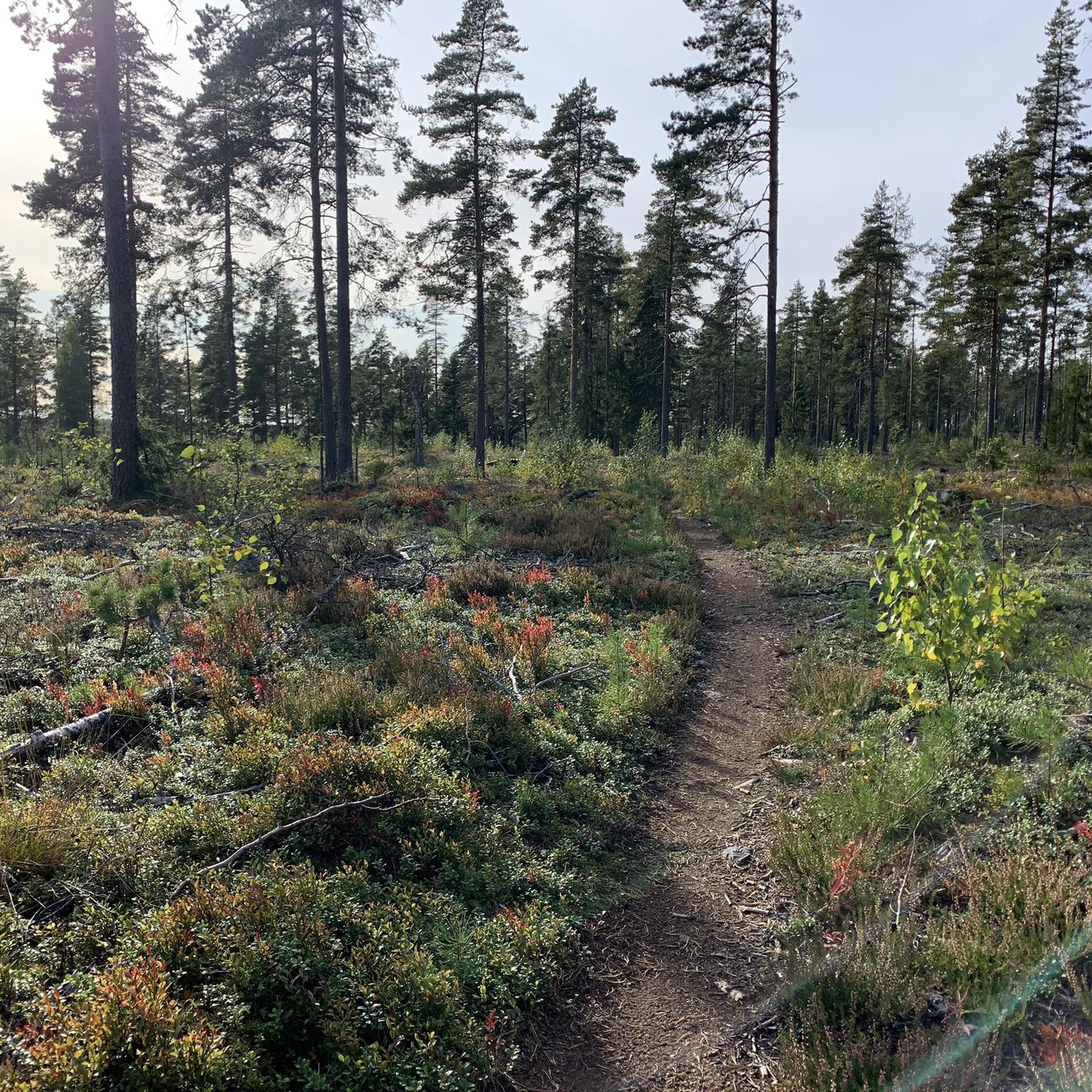
This beautiful path runs through the woods and lets you immerse into Nature.
0
0
This part of the trail in the woods is amazing. Enjoy it!
0
0

Fine sandy beach with clear water. Swimming is possible. There is a kiosk, changing rooms, playground, and SUP rental.
0
0
Nice place to rest and make a fire. There is also an old bench and an improvised wooden seat.
0
0

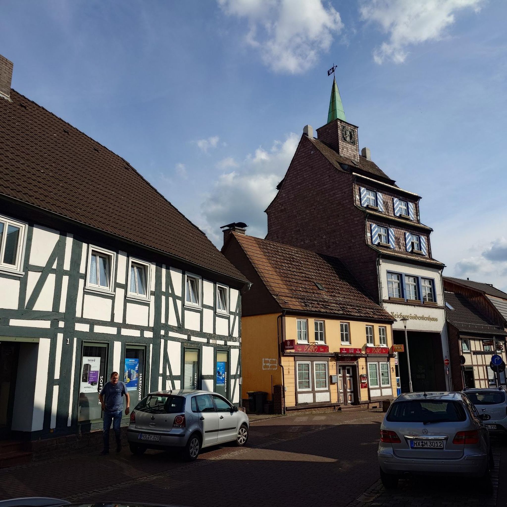
This is a beautiful place with nice old buildings.
0
0
Frequently Asked Questions
How many hiking trails are available in Nurmijärvi?
Nurmijärvi offers a good selection of hiking opportunities, with over 15 trails available. These routes cater to various skill levels, from easy strolls to more moderate treks through diverse landscapes.
What is the best time of year to go hiking in Nurmijärvi?
Nurmijärvi experiences all four seasons distinctly, offering varied natural beauty throughout the year. Spring brings blooming meadows, summer provides lush green forests, autumn showcases vibrant foliage, and winter offers snowy landscapes. The best time depends on your preference for scenery and weather conditions.
Are there options for easy hikes in Nurmijärvi?
Yes, Nurmijärvi has several easy hiking options. Approximately 9 of the trails are classified as easy, making them suitable for casual walkers or those looking for a relaxed outdoor experience. An example is the Hiking loop from Kuusimäki, which is about 2.4 miles (3.8 km) long.
Are there any challenging hiking routes in Nurmijärvi?
While Nurmijärvi's trails are generally moderate to easy, the region's diverse terrain, including the Salpausselkä ridge and areas like the Luhtajoki Nature Reserve, can offer more rugged sections. For those seeking longer treks, the Loop around Sääksjärvi Lake is a moderate 8.0-mile (13.0 km) route that provides a good workout.
Can I find circular hiking routes in Nurmijärvi?
Yes, many of Nurmijärvi's trails are designed as circular routes, allowing you to start and end at the same point. Examples include the popular Loop around Sääksjärvi Lake and the Märkiö Lean-To Shelter loop from Matkunsuo.
What natural features or landmarks can I see while hiking in Nurmijärvi?
Nurmijärvi's hiking trails often lead through diverse landscapes featuring picturesque farmland, dense forests, and significant geological formations like the Salpausselkä ridge. You can also explore areas with small lakes and rivers. Notable natural attractions include the Vantaankoski Rapids and the Nukarinkoski Rapids, as well as viewpoints like Sarvikallio.
Are there any rapids to explore on the hiking trails?
Yes, the Vantaa River flows through Nurmijärvi and features impressive rapids. You can explore the Nukarinkoski Rapids, which are particularly striking in early spring. The Nukari Rapids – Wooden Bridge Over Rapids loop from Nukari is a great route to experience these natural wonders.
What do other hikers enjoy most about hiking in Nurmijärvi?
The hiking trails in Nurmijärvi are highly regarded by the komoot community, with an average score of 4.7 stars from over 190 reviews. Hikers often praise the region's diverse landscapes, including lush forests, scenic rapids, and tranquil waterside paths, as well as the well-maintained trails suitable for various abilities.
Are the hiking trails in Nurmijärvi suitable for families with children?
Many of Nurmijärvi's trails are family-friendly, especially the easier and shorter routes that wind through woodlands or along lakeshores. The region's natural beauty and varied terrain offer engaging experiences for children, such as exploring the Koskikara nature trail at Myllykoski with its duckboards and birdwatching opportunities.
Are there dog-friendly hiking trails in Nurmijärvi?
Nurmijärvi's natural environment is generally welcoming for dogs, with many trails passing through forests and open areas. It's always recommended to keep dogs on a leash and follow local regulations, especially in nature reserves or areas with wildlife. The extensive network of trails provides ample space for you and your canine companion to enjoy the outdoors.
Is parking available at the trailheads in Nurmijärvi?
Yes, parking is generally available at popular trailheads and recreation areas throughout Nurmijärvi. Specific parking information can often be found on local municipality websites or detailed route descriptions for individual trails.
How can I reach the hiking trails in Nurmijärvi using public transport?
Nurmijärvi is located approximately 37 kilometers north of Helsinki and is accessible by public transport, primarily buses. You can find bus connections from Helsinki to various parts of Nurmijärvi, including areas near popular hiking spots. For detailed schedules and routes, it's best to consult local public transport providers.
Most popular routes around Nurmijärvi
Most popular attractions around Nurmijärvi

Get inspired with the komoot mobile app


Explore more
Browse the best Hikes in other regions.
