The best walks and hikes around South Ostrobothnia
4.2
(56)
918
hikers
123
hikes
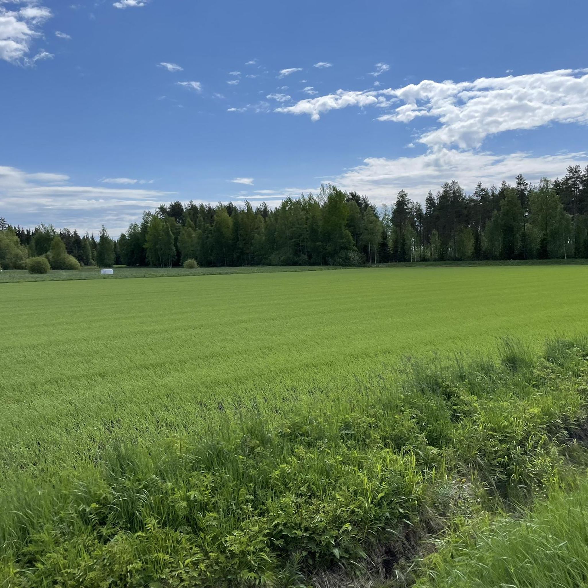
Hiking trails around South Ostrobothnia traverse a landscape characterized by expansive plains, river valleys, deep forests, and open marshlands. The region features low hills, with Lauhanvuori National Park offering one of Western Finland's highest points at 231 meters. These diverse natural features provide varied terrain for outdoor activities.
Best hiking trails around South Ostrobothnia
- The most popular hiking route is Pirunkierros – Lauhanvuoren kansallispuisto, an easy 2.8 miles (4.5 km) trail that takes 1 hour 10 minutes to complete.…
Last updated: August 28, 2026
5.0
(2)
56
hikers
4.53km
01:10
20m
20m
Easy hike. Great for any fitness level. Easily-accessible paths. Suitable for all skill levels.
5.0
(2)
51
hikers
5.59km
01:26
30m
30m
Easy hike. Great for any fitness level. Easily-accessible paths. Suitable for all skill levels.

Sign up for free
4.5
(4)
14
hikers
23.2km
06:03
150m
150m
Hard hike. Very good fitness required. Easily-accessible paths. Suitable for all skill levels.
15
hikers
5.88km
01:30
10m
10m
Easy hike. Great for any fitness level. Easily-accessible paths. Suitable for all skill levels.
5.0
(1)
19
hikers
13.2km
03:19
10m
10m
Moderate hike. Good fitness required. Mostly accessible paths. Sure-footedness required.
5.0
(2)
12
hikers
7.61km
01:58
30m
30m
Moderate hike. Great for any fitness level. Mostly accessible paths. Sure-footedness required.
8
hikers
12.1km
03:17
160m
160m
Hike the moderate 7.5-mile Samuli Paulaharju Trail through rugged Finnish landscapes, gaining 531 feet in about 3 hours and 17 minutes.
4.0
(2)
9
hikers
7.21km
01:50
20m
20m
Easy hike. Great for any fitness level. Easily-accessible paths. Suitable for all skill levels.
6
hikers
4.63km
01:10
10m
10m
Hike the easy 2.9-mile Korpinkierros – Haarus Hiking Trails, featuring diverse forests, lakes, and unique floating turf rafts.
5
hikers
1.92km
00:31
20m
20m
Moderate hike. Great for any fitness level. Mostly accessible paths. Sure-footedness required.
Get access to more routes and recommendations from other explorers.
Sign up for free
Already have an account?
Our route recommendations are based on thousands of hikes, rides, and runs completed by other people on komoot.
Start today with a free account
Your next adventure awaits.
Login or Signup
Popular around South Ostrobothnia

Hiking around Kyrkösjärven tekojärvi
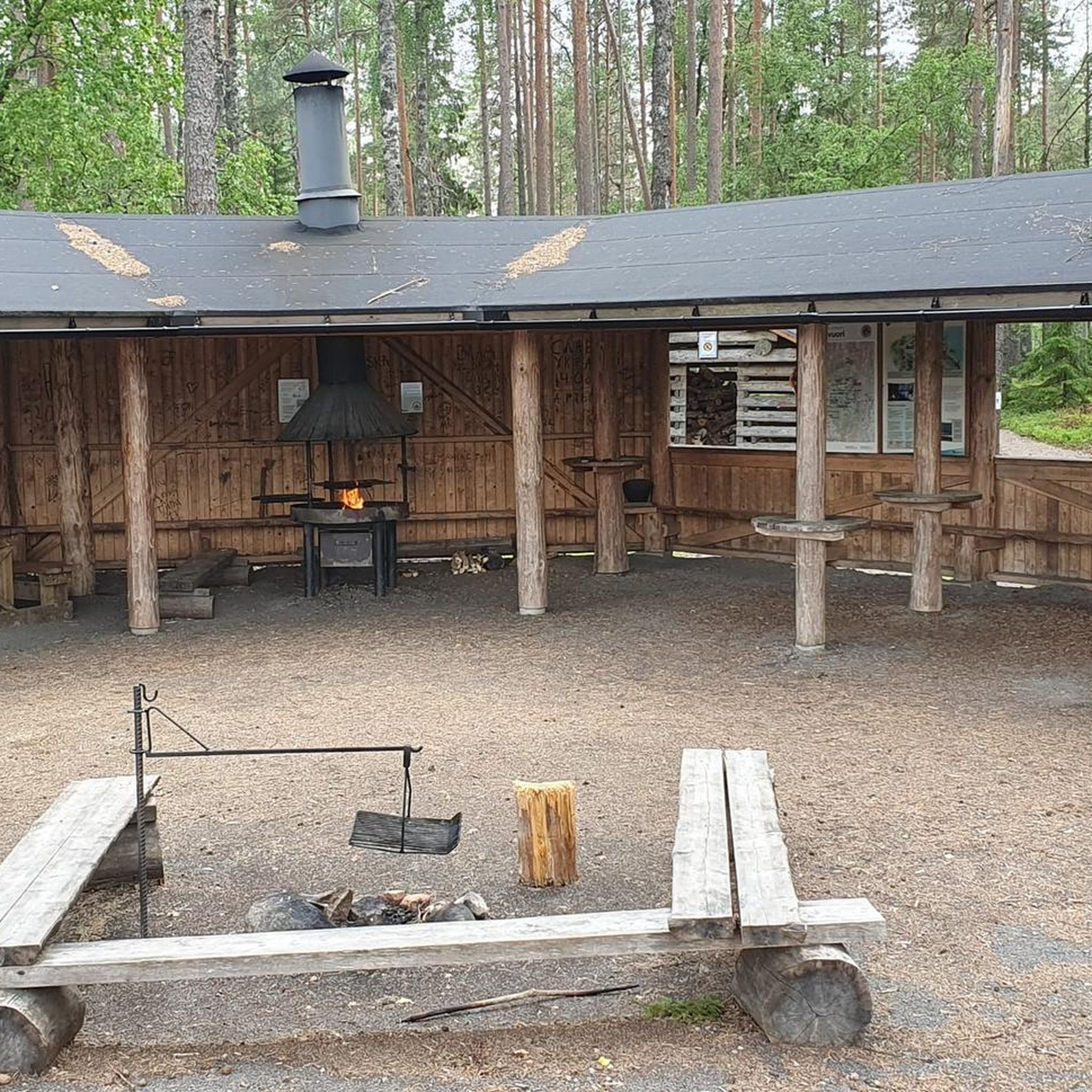
Hiking around Lauhanvuoren kansallispuisto
Hiking around Kauhajärvi

Hiking around Pitkämön tekoallas

Hiking around Ähtärinjärvi
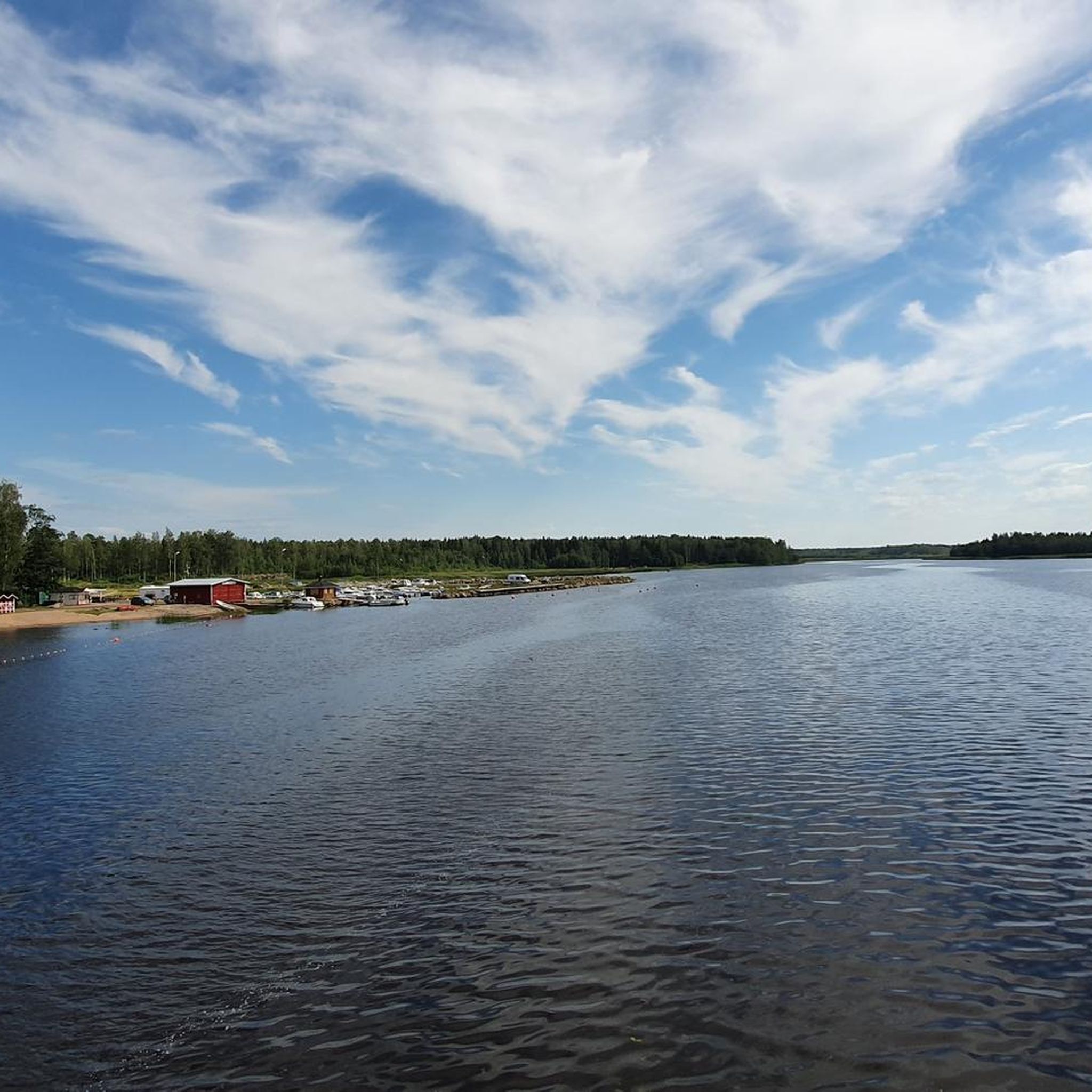
MTB Trails around South Ostrobothnia
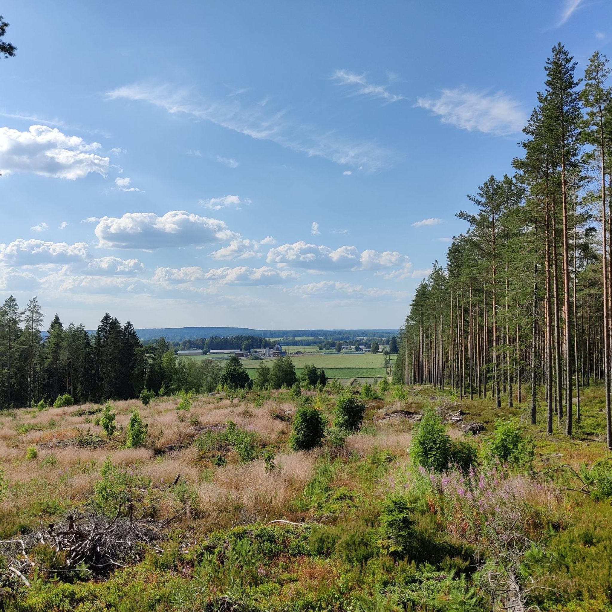
Cycling around South Ostrobothnia
Road Cycling Routes around South Ostrobothnia
Running Trails around South Ostrobothnia
Gravel biking around South Ostrobothnia
Tips from the Community

This small wooden bridge makes sure that you keep your feet dry! Be careful though, the wood can be slippery when it's cold and/or wet outside.
0
0
The floor of this lush pine forest is covered with moss and boulders, which gives it a special atmosphere.
0
0
This is just one of the many gorgeous forest trails in the area. Beautiful to hike on in every season!
0
0

Close to the well-used MTB trails, this area of woodland is agreat place for a hike. Well maintained trails with plenty of amenities nearby.
0
0
An old open quarry with an artificial beach. A beautiful calm spot to take a break from our hike.
0
0
Paukaneva is a nice place to enjoy the tranquility of nature. There is a lookout tower and a birdwatching tower at some distance, and there is a hut. Boardwalks run over the wet swamp ground, so it is easy to move around here.
0
0

The site is close to parking lot, attracting a lot of visitors. The beach is good for swimming, and there is even a changing room here! Pitching a tent is not permitted here, but there is dedicated campsite on the opposite shore of Spitaalijärvi lake, just about 500 metres away.
0
0

In this shelter, a toilet and firewood are available. A perfect spot to take a break during your hike.
0
0
Frequently Asked Questions
What kind of landscapes can I expect to see while hiking in South Ostrobothnia?
South Ostrobothnia offers a diverse hiking experience, characterized by expansive agricultural plains, scenic river valleys like the Kyrönjoki, deep forests, and unique open marshlands. You'll also find low hills, with Lauhanvuori National Park featuring one of Western Finland's highest points at 231 meters, complete with an observation tower for panoramic views. The region's geology includes unique sandstone formations and a meteorite crater lake, Lappajärvi.
How many hiking trails are available in South Ostrobothnia?
There are over 120 hiking routes documented in South Ostrobothnia, catering to various skill levels. This includes more than 100 easy trails, 24 moderate routes, and a few challenging options for experienced hikers.
Are there any family-friendly or accessible hiking options in the region?
Yes, South Ostrobothnia is well-suited for families and those seeking accessible trails. Notable options include the Accessible Jouppilanvuori Adventure Trail near Seinäjoki and the Seinäjoki–Ilmajoki Adventure Trail, both of which are gravel-surfaced and designed for ease of access. Many national park trails also feature boardwalks over marshlands, making them easier to navigate.
What do other hikers enjoy most about the trails in South Ostrobothnia?
The trails in South Ostrobothnia are highly rated by the komoot community, with an average score of 4.2 stars from over 40 reviews. Hikers frequently praise the tranquil natural surroundings, the variety of landscapes from plains to forests and marshlands, and the well-maintained paths, especially in national parks.
Are there any long-distance hiking trails in South Ostrobothnia?
For those seeking longer adventures, South Ostrobothnia offers several extended routes. The Lauhanvuoren kierros – Lauhanvuoren kansallispuisto is a challenging 14.4-mile (23.2 km) path, while the Välivesi Long Outdoor Trail spans over 15.8 miles (25.5 km). Another significant option is the Lake Paalijärvi Hiking Trail, covering approximately 16.3 miles (26.2 km).
What are some notable landmarks or attractions I can see along the hiking trails?
Many trails lead to or pass by interesting natural and cultural landmarks. In Lauhanvuori National Park, you can visit the Lauhanvuori Observation Tower for expansive views. The Kauhaneva-Pohjankangas National Park features scenic boardwalks and the historical Kyrönkankaantie Road. You might also encounter unique geological formations, such as those around Lappajärvi Lake, a meteorite crater lake.
Are there any circular hiking routes available?
Yes, many trails in South Ostrobothnia are designed as circular routes, allowing you to start and end at the same point. Examples include the Pirunkierros – Lauhanvuoren kansallispuisto, an easy 2.8-mile (4.5 km) loop, and the Särkijärvi Loop, which is 3.8 miles (6.1 km) long.
When is the best time of year to go hiking in South Ostrobothnia?
South Ostrobothnia offers hiking opportunities throughout the year, each season providing a unique experience. Spring is excellent for birdwatching, summer allows for pleasant walks and canoeing in river systems, and autumn transforms the landscapes with vibrant colors. Even winter offers possibilities for snowshoeing or cross-country skiing in areas like Simpsiö.
Are dogs allowed on the hiking trails in South Ostrobothnia?
Generally, dogs are welcome on most hiking trails in South Ostrobothnia, provided they are kept on a leash. This is a common practice in Finnish national parks and nature reserves to protect wildlife and ensure a pleasant experience for all visitors. Always check specific park regulations if you plan to visit a designated nature area.
Are there any trails with good viewpoints?
Absolutely. The Lauhanvuori Observation Tower in Lauhanvuori National Park offers spectacular panoramic views extending 50–70 km on clear days. The park's trails, such as the Lauhanvuoren kierros, provide extensive vistas over forests and mires. Additionally, the region's highest point, Raitamäki (241 m), also offers inspiring landscapes.
What is the difficulty level of hiking trails in South Ostrobothnia?
The trails in South Ostrobothnia cater to all levels of hikers. The majority of routes (over 100) are classified as easy, suitable for casual walks. There are also 24 moderate trails for those seeking a bit more challenge, and 3 difficult routes for experienced hikers looking for longer distances and more varied terrain.
Most popular routes around South Ostrobothnia
Most popular attractions around South Ostrobothnia

Get inspired with the komoot mobile app


Didn’t find what you were looking for?
Check out more Hikes throughout South Ostrobothnia below and find the perfect route in your destination.
Explore more
Browse the best Hikes in other regions.
