The best road cycling routes around Cabeceiras De Basto
4.8
(37)
1,546
riders
19
rides
Road cycling routes around Cabeceiras De Basto are characterized by diverse landscapes, including luxuriant green hills and the Serra da Cabreira mountain range. The region features a network of roads that traverse varied terrain, from riverside paths along the Tâmega River to challenging climbs with significant elevation gains. This area in northern Portugal offers a compelling destination for road cyclists seeking both scenic beauty and demanding routes.
Best road cycling routes around Cabeceiras De Basto
- The most popular road cycling…
Last updated: June 28, 2026
55
riders
101km
05:43
2,120m
2,120m
Hard road ride. Very good fitness required. Mostly well-paved surfaces and easy to ride.
3.0
(1)
52
riders
46.9km
02:51
1,100m
1,100m
Hard road ride. Very good fitness required. Mostly well-paved surfaces and easy to ride.

Sign up for free
36
riders
83.3km
04:24
1,450m
1,450m
Hard road ride. Very good fitness required. Mostly well-paved surfaces and easy to ride.
34
riders
86.2km
04:28
1,490m
1,490m
Hard road ride. Very good fitness required. Mostly well-paved surfaces and easy to ride.
16
riders
131km
06:47
2,270m
2,270m
Hard road ride. Very good fitness required. Mostly well-paved surfaces and easy to ride.
Get access to more routes and recommendations from other explorers.
Sign up for free
Already have an account?
Our route recommendations are based on thousands of hikes, rides, and runs completed by other people on komoot.
Start today with a free account
Your next adventure awaits.
Login or Signup
Tips from the Community

Nice bike path, nice asphalt. Fairly wide, but only in a few spots is the vegetation recovering. Recommended 👍
1
0
Nice climb, steady and great for pushing. Nice view at the top, and there's a fountain halfway up/down.
0
0

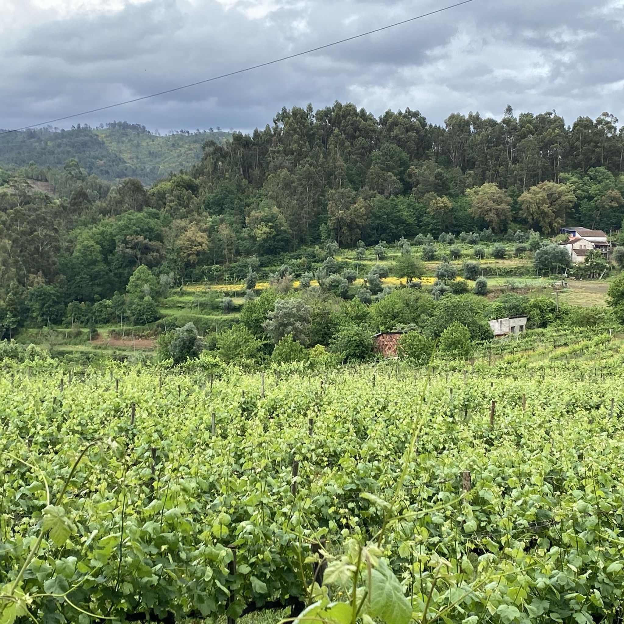
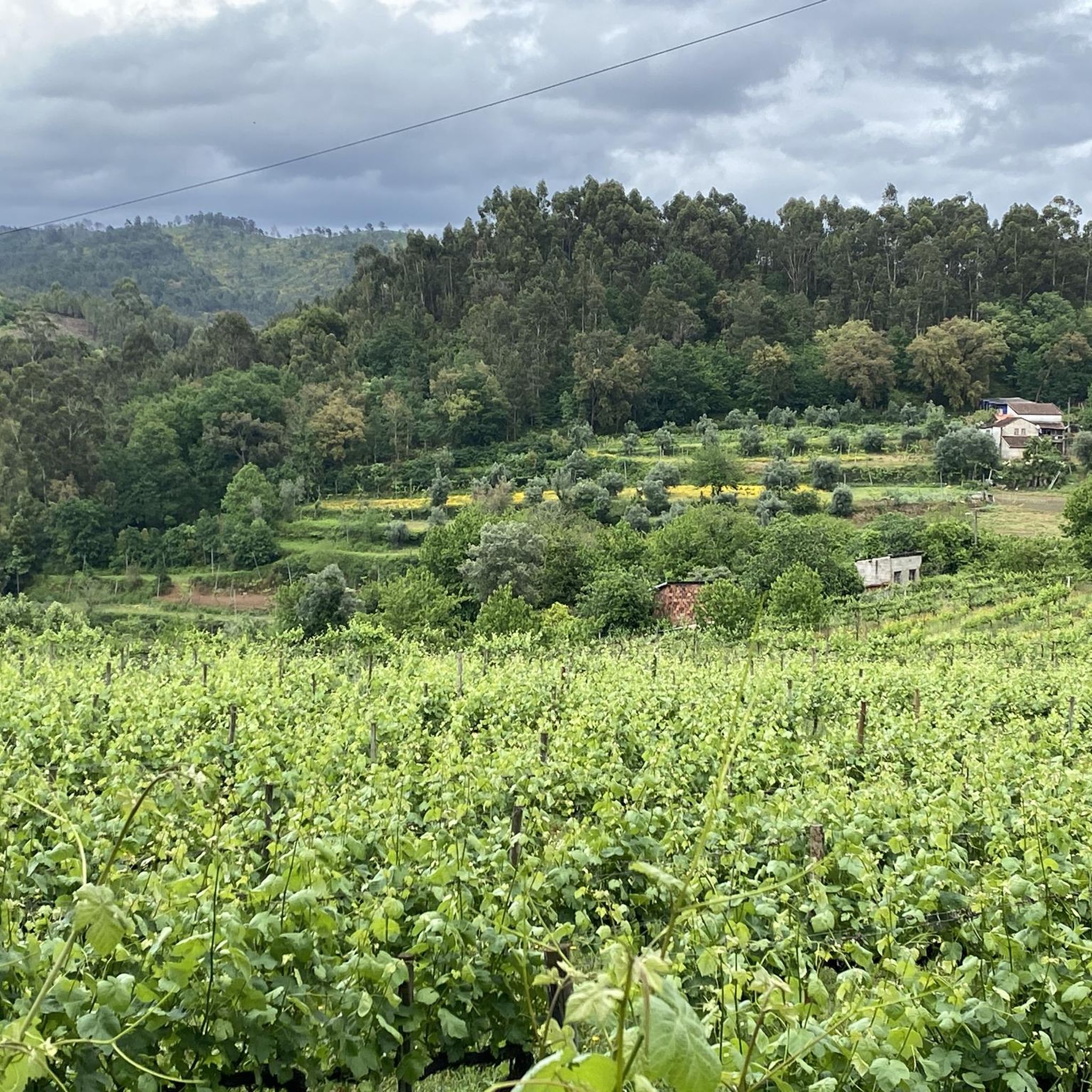
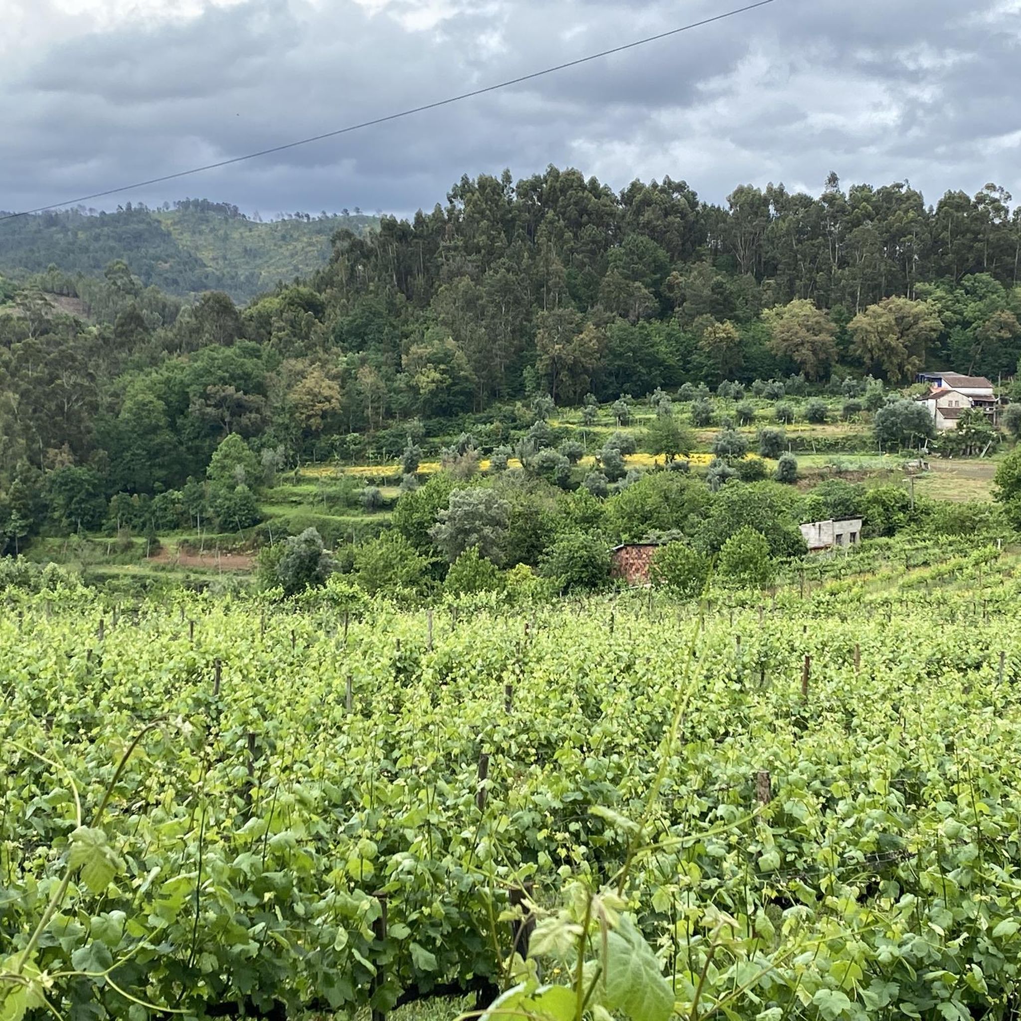
From this hairpin bend you have a spectacular view. The spontaneous vegetation extends into a carpet of dry grass and low shrubs, typical of the hilly environment. A few scattered trees, with foliage of a more intense green, dot the landscape, adding depth and contrast.
0
0

Mondim de Basto, on the banks of the Tâmega, holds memories of many peoples. Although it was only founded in the 12th century, during the reign of D. Sancho I, its roots are much older.
1
0


30 meter high dam, built in 2021 on the Torno River.
0
0
View over Ribeira de Pena and the Tâmega river valley.
0
0
Built in 2022, the Daivões Dam, 77 meters high, produces 159GWh of energy annually.
0
0
Frequently Asked Questions
How many road cycling routes are available in Cabeceiras de Basto?
Cabeceiras de Basto offers a diverse network of over 15 road cycling routes. These routes cater to various skill levels, including 4 moderate and 13 difficult options, ensuring a suitable challenge for most cyclists.
What kind of terrain can I expect on road cycling routes in Cabeceiras de Basto?
The region is characterized by its hilly terrain, featuring luxuriant green hills and the prominent Serra da Cabreira mountain range. You can expect routes with significant elevation gains, as well as paths alongside rivers like the Tâmega, providing a varied and engaging cycling experience.
Are there road cycling routes suitable for beginners or families in Cabeceiras de Basto?
While many routes are challenging, the region offers more accessible options. The Tâmega Line Ecotrail (Ecopista da Linha do Tâmega) is a significant draw, offering a relatively flat and accessible path along a former railway line, ideal for a more relaxed ride or families. For moderate road cycling, routes like the Mondim de Basto Station loop from Basto provide a good balance.
Where can I find challenging road cycling routes with significant climbs?
For those seeking a challenge, Cabeceiras de Basto's hilly landscape, particularly within the Serra da Cabreira mountain range, offers numerous difficult routes. A prime example is the Descent Along the Tâmega River – Ponte de Cavez loop from Cabeceiras de Basto, which covers nearly 100 km with over 2000 meters of elevation gain. Another demanding option is the Panoramic view from the hairpin loop from Arco de Baúlhe, known for its challenging hairpin turns and scenic vistas.
What natural features and landmarks can I see along the road cycling routes?
Road cycling routes in Cabeceiras de Basto offer stunning natural beauty. You can enjoy panoramic viewpoints in the Serra da Cabreira, lush green hills, and clear streams. The routes often follow rivers like the Tâmega, providing picturesque riverside scenery. Don't miss the Ponte da Misarela and Waterfall, a notable natural and historical landmark.
Are there any historical or cultural points of interest accessible by road bike?
Yes, several points of interest are accessible. The Arco de Baúlhe Railway Station is a historical site along the former railway line, now part of the Ecopista. You might also encounter communal windmills, such as those in Parque de Moinhos do Rei, offering a glimpse into local heritage.
Are there circular road cycling routes available in Cabeceiras de Basto?
Yes, many routes are designed as loops, allowing you to start and finish in the same location. Examples include the Descent Along the Tâmega River – Ponte de Cavez loop from Cabeceiras de Basto and the Mondim de Basto Station loop from Basto, providing convenient options for exploring the region.
What is the best time of year for road cycling in Cabeceiras de Basto?
The region is enjoyable for cycling during warmer days, typically from spring through early autumn. This period allows you to fully appreciate the green landscapes and take advantage of fluvial beaches and recreational areas along the rivers. Always check local weather forecasts before heading out.
What do other road cyclists enjoy the most about road cycling in Cabeceiras de Basto?
The road cycling experience in Cabeceiras de Basto is highly rated by the komoot community, with an average score of 4.7 stars from 10 reviews. Cyclists often praise the diverse landscapes, from challenging mountain climbs to serene riverside paths, and the rewarding panoramic views encountered along the routes.
Is there parking available for cyclists near the routes?
While specific parking areas for cyclists are not detailed, many towns and villages that serve as starting points for routes, such as Cabeceiras de Basto and Arco de Baúlhe, typically offer public parking facilities. It's advisable to check local parking options in your chosen starting location.
Can I access road cycling routes using public transport in Cabeceiras de Basto?
Information on specific public transport links for cyclists is limited. However, major towns in the region, including Cabeceiras de Basto, are served by regional bus networks. It's recommended to research local bus schedules and policies regarding bicycle transport if you plan to use public transport to reach your starting point.
Are there any less crowded road cycling routes in Cabeceiras de Basto?
While popular routes like those along the Ecopista can see more activity, the extensive network of roads throughout the Serra da Cabreira and surrounding green hills offers many opportunities for quieter rides. Exploring some of the less-trafficked regional roads can lead to peaceful cycling experiences amidst nature.
Most popular attractions around Cabeceiras De Basto

Get inspired with the komoot mobile app


Explore more
Browse the best Road cycling routes in other regions.
