The best walks and hikes around Celorico De Basto
4.5
(225)
1,097
hikers
23
hikes
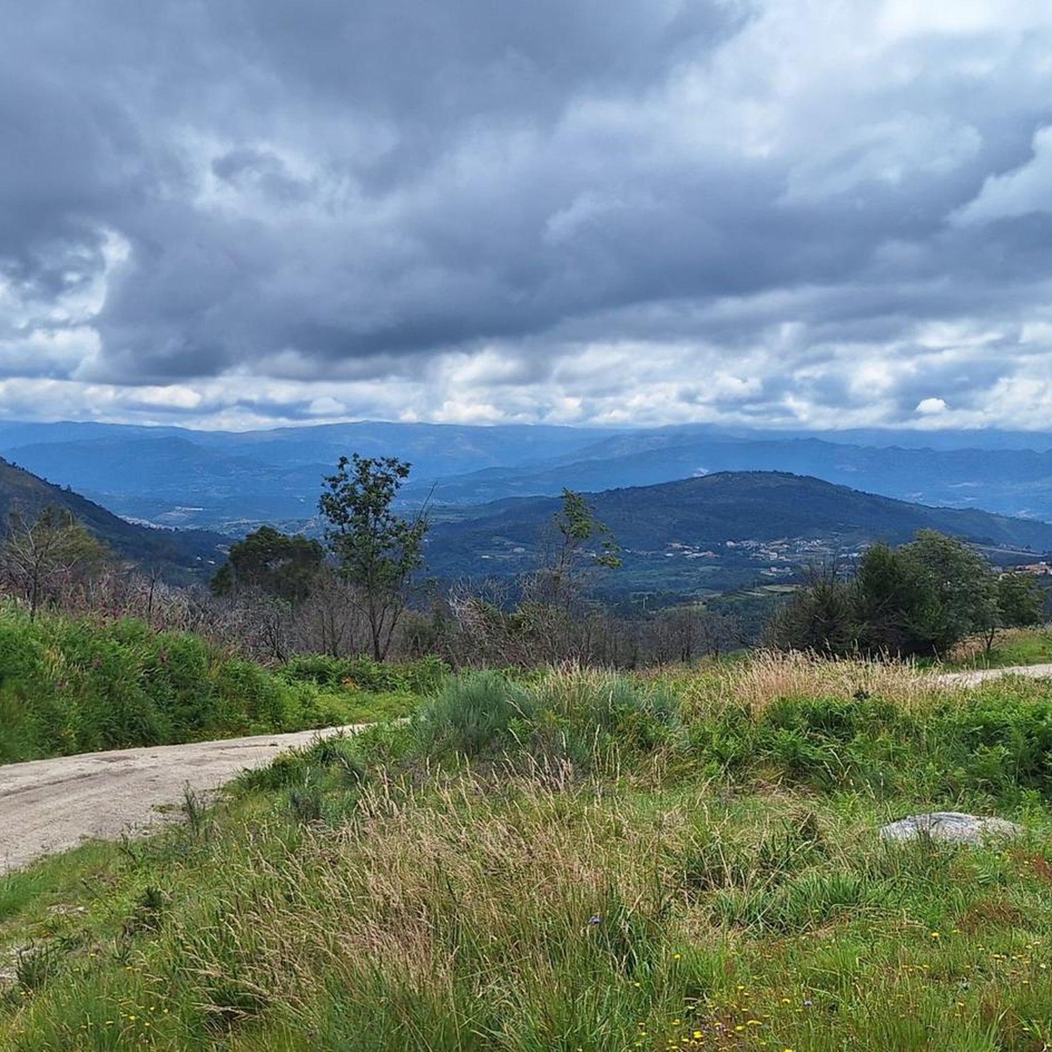
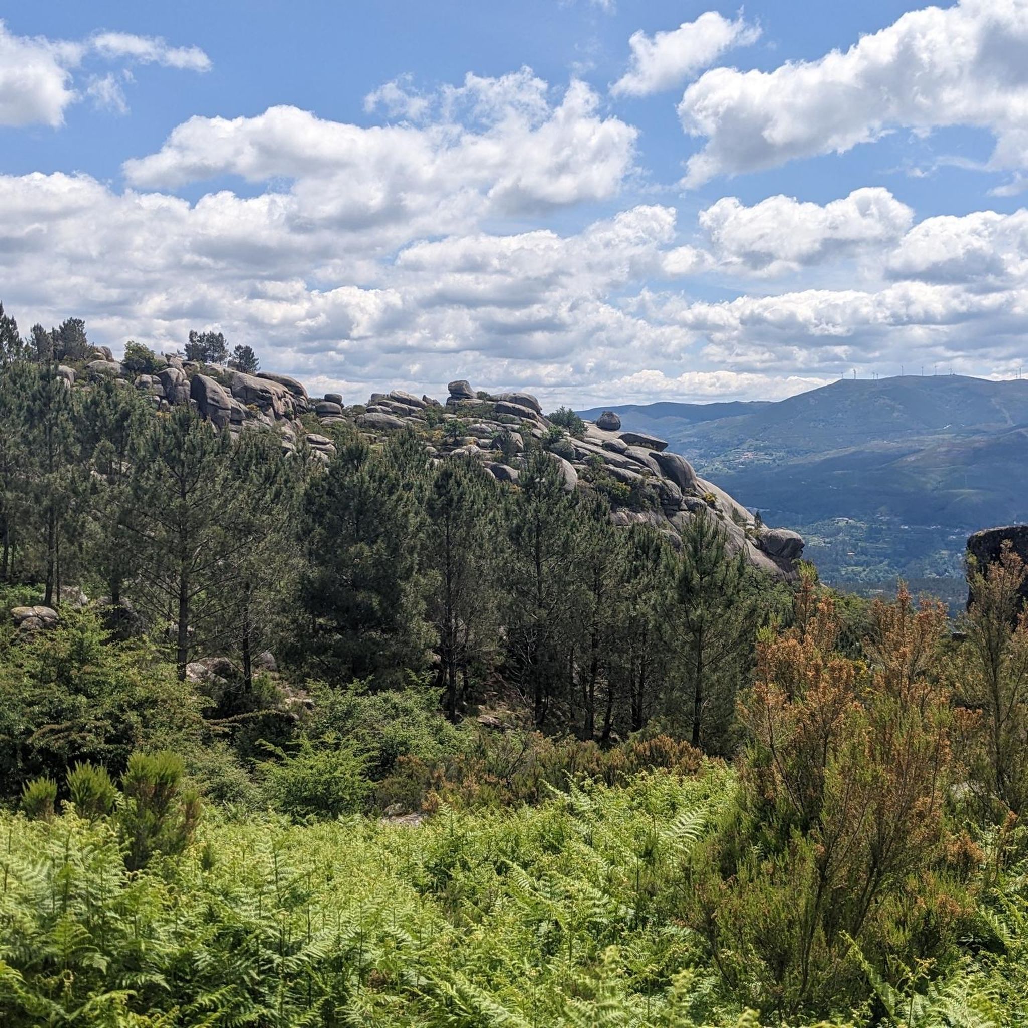
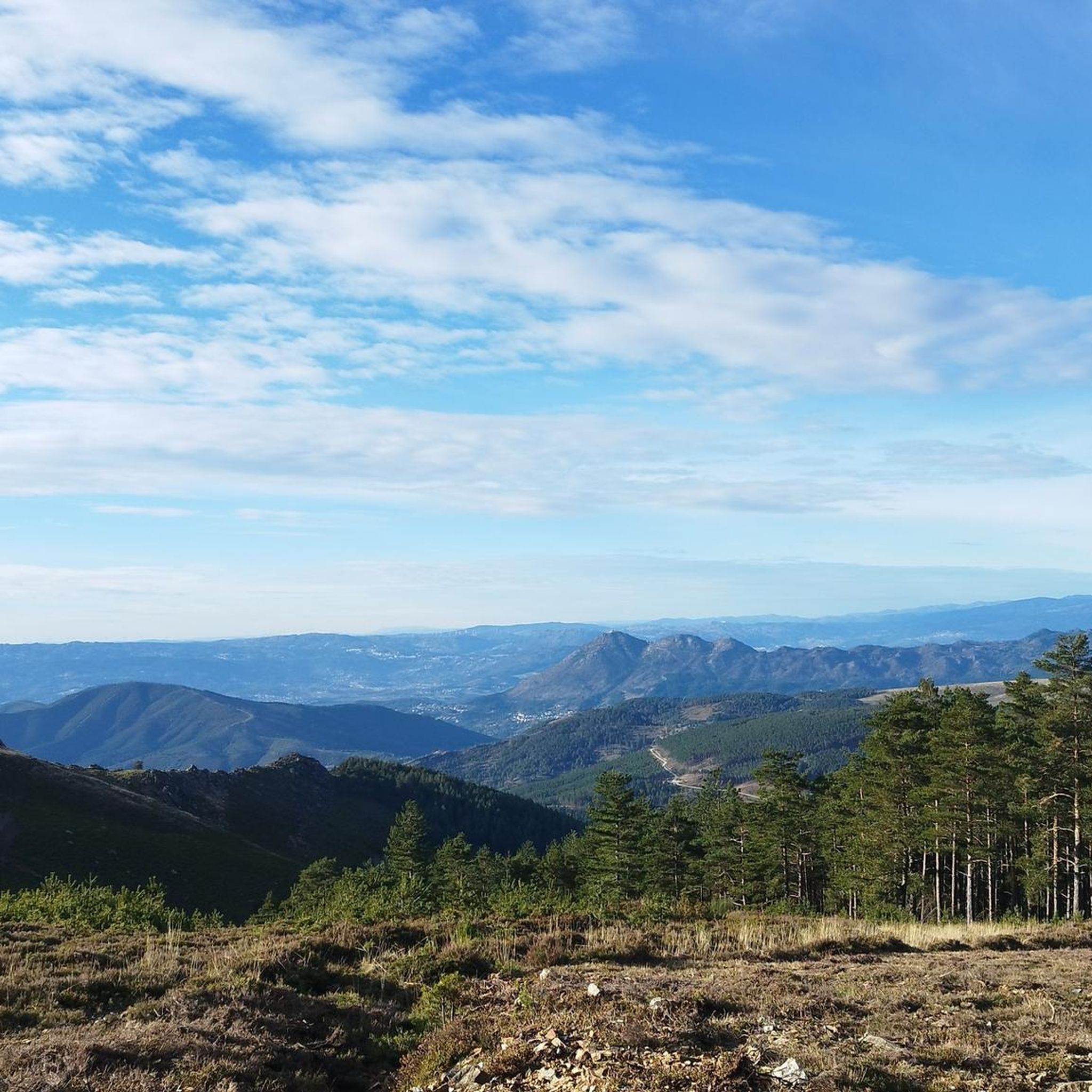
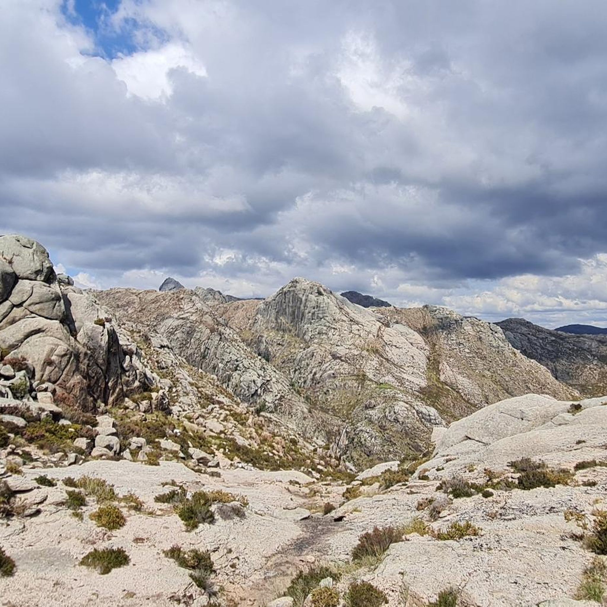
Hiking around Celorico De Basto offers diverse natural landscapes, including rugged mountains, serene rivers, and dense forests. The region is characterized by its fertile valleys and the Serra da Cabreira mountain range, providing varied terrain for outdoor activities. Situated between the hills of Barroso and Marão, Celorico De Basto features an extensive network of waterways, notably the Tâmega River. This geographical composition creates a range of hiking opportunities from riverside paths to more challenging mountain trails.
Best hiking trails around…
Last updated: July 1, 2026
4.6
(83)
369
hikers
13.5km
04:24
610m
610m
Moderate hike. Good fitness required. Easily-accessible paths. Suitable for all skill levels.
4.5
(2)
23
hikers
3.28km
00:58
100m
100m
Easy hike. Great for any fitness level. Easily-accessible paths. Suitable for all skill levels.

Sign up for free
4.7
(6)
44
hikers
10.2km
02:40
70m
70m
Moderate hike. Good fitness required. Easily-accessible paths. Suitable for all skill levels.
4.0
(2)
8
hikers
12.5km
03:46
390m
390m
Moderate hike. Good fitness required. Easily-accessible paths. Suitable for all skill levels.
5.0
(1)
7
hikers
18.1km
05:22
530m
530m
Hard hike. Very good fitness required. Easily-accessible paths. Suitable for all skill levels.
Get access to more routes and recommendations from other explorers.
Sign up for free
Already have an account?
Our route recommendations are based on thousands of hikes, rides, and runs completed by other people on komoot.
Start today with a free account
Your next adventure awaits.
Login or Signup
Tips from the Community

Just take a look and then forward it
2
1

The waterfall cascades down a steep rock face, formed by large boulders and outcrops of dark and gray stone. The water, a brilliant white color, splits into multiple streams as it descends, creating a multi-layered effect. Around the waterfall and along the rocky slopes, vegetation is sparse but tenacious.
0
0

House fronts painted on a house front
6
1

The path is well signposted throughout.
2
0
Best view of the waterfall. With corresponding information board.
2
0

The church of St. Peter was built on the site of the former chapel of St. Martin and was completed in 1727.
3
2

There are interesting facades to see here 🤩
3
2
Frequently Asked Questions
What types of hiking trails can I find in Celorico de Basto?
Celorico de Basto offers a diverse range of hiking trails, from easy riverside walks to more challenging mountain ascents. You'll find paths winding through fertile valleys, dense forests, and along the Tâmega River. The region is characterized by its varied terrain, including parts of the Serra da Cabreira mountain range, providing options for all skill levels.
How many hiking routes are available in Celorico de Basto?
There are over 20 hiking routes available in Celorico de Basto. These include 11 easy trails, 11 moderate trails, and 1 difficult trail, ensuring options for various fitness levels and preferences.
Are there any trails with waterfalls in Celorico de Basto?
Yes, you can find trails that feature waterfalls. For example, the Ôlo River – Fisgas de Ermelo Waterfalls loop from Ermelo is a moderate 13.5 km route that takes you along river paths and past the impressive Fisgas de Ermelo Waterfalls.
What are some notable landmarks or historical sites to see while hiking?
The region is rich in historical and cultural elements. You can explore sites like the medieval Castle of Arnoia, which offers magnificent panoramic views. The Rota do Romanico (Romanesque Route) guides visitors past historic Romanesque churches and medieval castles. Along many routes, you might also encounter traditional stone houses called 'espigueiros' and the grand Monastery of São Miguel de Refojos. Specific highlights include the St. Gonçalo Bridge and the Monastery of Santa Maria de Pombeiro.
Are there any circular hiking routes in Celorico de Basto?
Yes, many routes in Celorico de Basto are circular, allowing you to start and end at the same point. An example is the Hiking loop from Ermelo, an easy 3.3 km path, or the more challenging View from the Geodesic Marker loop from Aboadela, Sanche e Várzea.
What is the Ecopista do Tâmega and is it suitable for hiking?
The Ecopista do Tâmega is a prominent 24 km long trail built on a deactivated railway line. It's ideal for both walking and cycling within Celorico de Basto, forming part of a larger route. The old railway stations along the path have been repurposed to offer amenities, making it a comfortable option for hikers.
What is the best time of year to go hiking in Celorico de Basto?
The spring and early summer months are particularly pleasant for hiking in Celorico de Basto, offering mild temperatures and blooming landscapes. Autumn also provides a beautiful experience with the added allure of the grape harvest season for wine tourism.
What do other hikers enjoy most about hiking in Celorico de Basto?
The hiking routes in Celorico de Basto are highly rated by the komoot community, with an average score of 4.5 stars from over 200 reviews. Hikers often praise the region's blend of natural beauty, diverse terrain, and the integration of historical and cultural elements along the trails.
Are there any challenging hikes for experienced trekkers?
Yes, for those seeking more challenging routes, the region offers options like the View from the Geodesic Marker loop from Gondar, which is classified as difficult and covers over 18 km. The Serra da Cabreira mountain range also provides rugged terrain and breathtaking panoramic views for experienced hikers.
Can I find trails that offer panoramic views?
Absolutely. Celorico de Basto is known for its panoramic viewpoints. Locations like Alto Viso and the Castle of Arnoia offer expansive views stretching across the Tâmega valley to the mountain massifs of Alvão and Marão. Many trails, such as the PR2 Hiking Trail, also feature scenic viewpoints like Calvelo and Penícia.
Are there any easy, shorter hikes suitable for a quick walk?
Yes, there are several easy and shorter options. For instance, the Hiking loop from Ermelo is an easy 3.3 km path that can be completed in under an hour, perfect for a quick and enjoyable walk.
Most popular attractions around Celorico De Basto

Get inspired with the komoot mobile app


Explore more
Browse the best Hikes in other regions.
