The best walks and hikes around Castro Marim
4.4
(464)
1,376
hikers
61
hikes
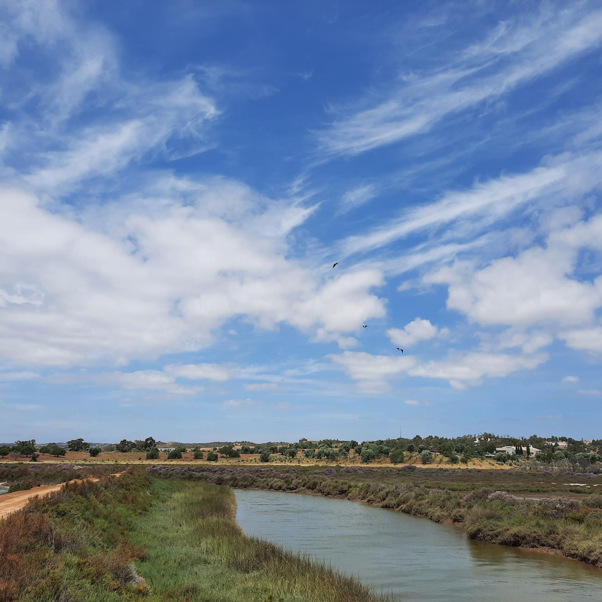
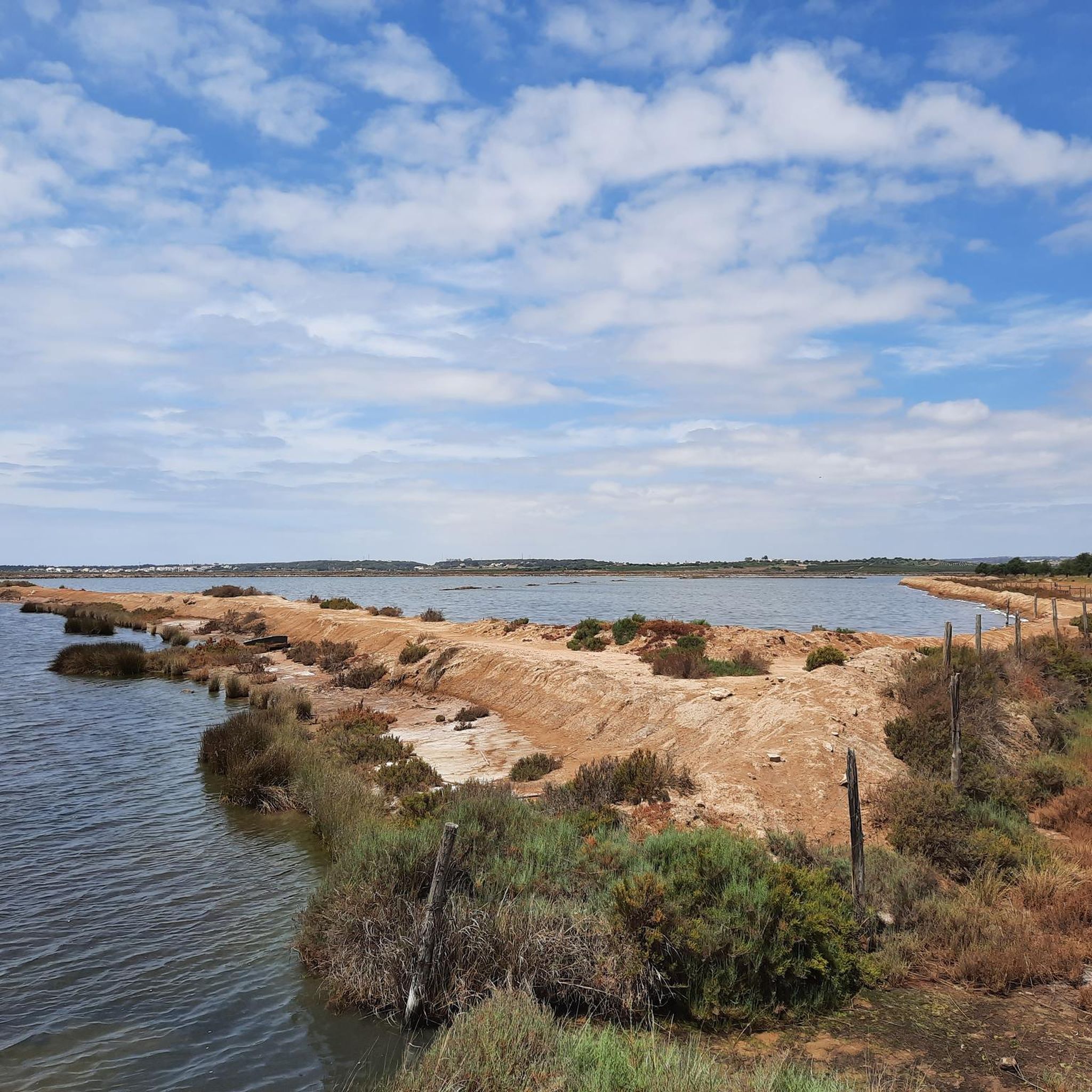
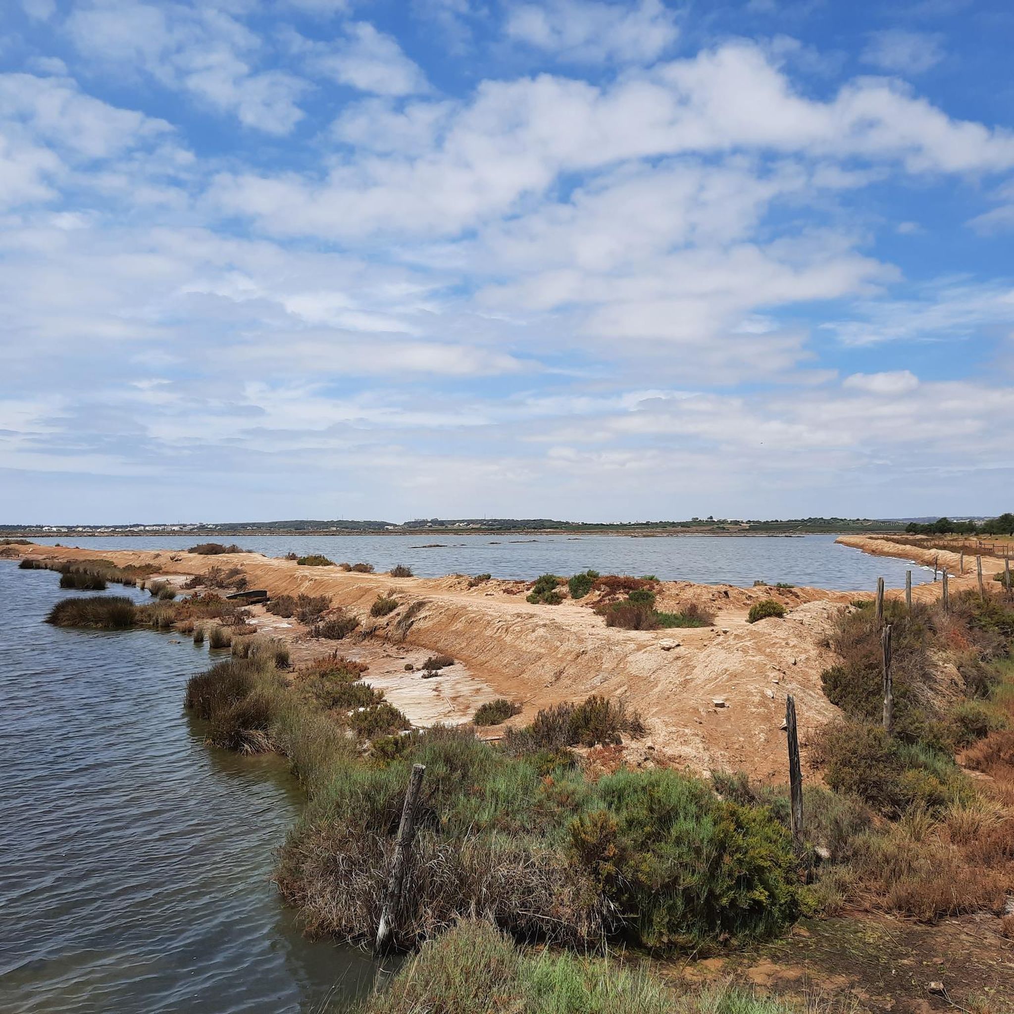
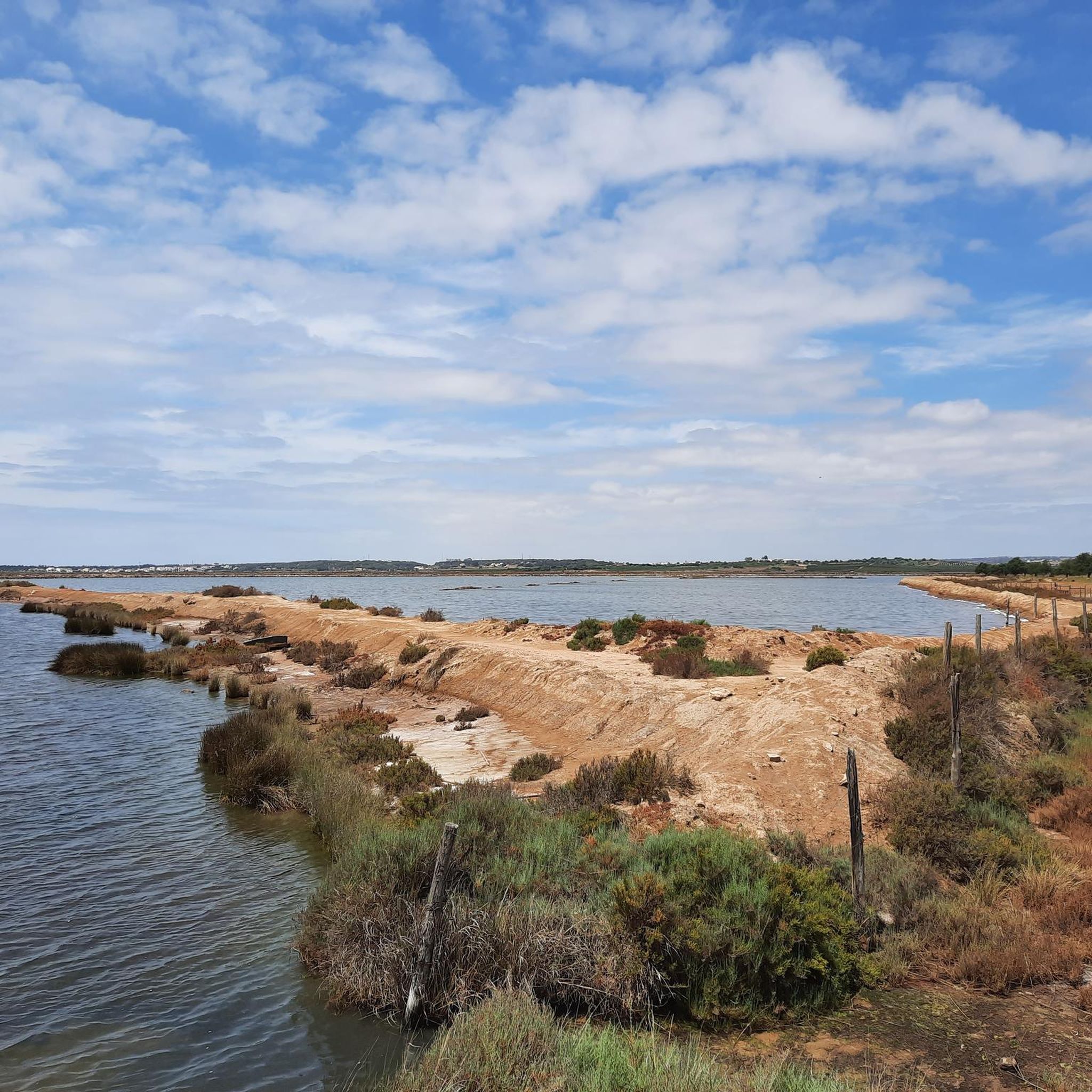
Hiking around Castro Marim offers diverse natural landscapes in the eastern Algarve region of Portugal. The area features extensive salt marshes and salt pans within the Reserva Natural do Sapal de Castro Marim e Vila Real de Santo António, providing unique environments for exploration and birdwatching. The Guadiana River forms a natural border, offering picturesque views, while the hills surrounding Castle Hill and Odeleite provide panoramic vistas. Hikers can also discover Mediterranean forests and traditional orchards, including almond groves.
Best…
Last updated: August 17, 2026
4.4
(53)
189
hikers
7.51km
02:02
100m
100m
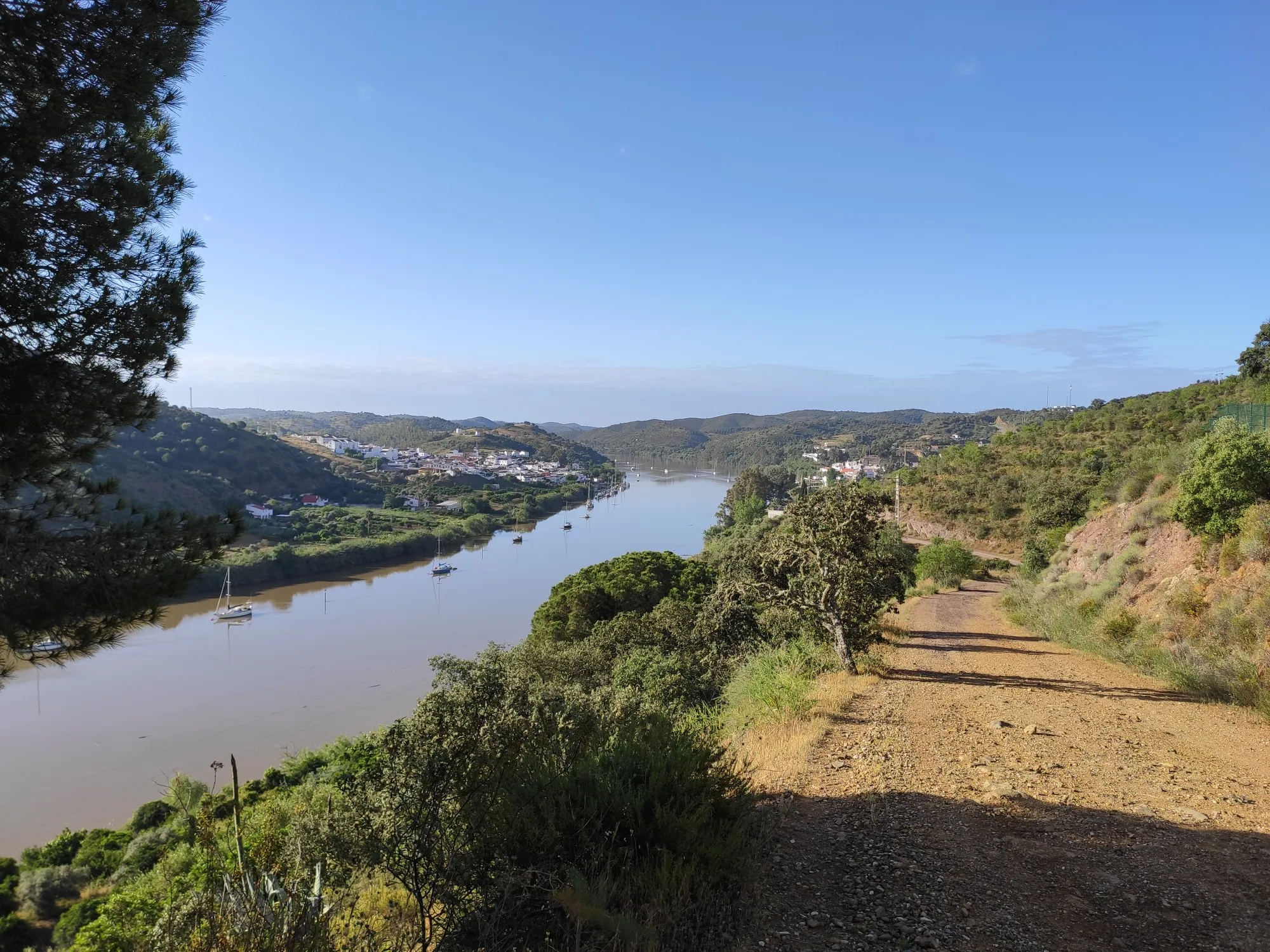
Hike the moderate 4.7-mile Azinhal and Rio Guadiana circular route (PR3) for scenic views of the Guadiana River and historic windmills.
4.4
(40)
135
hikers
11.1km
03:11
270m
270m
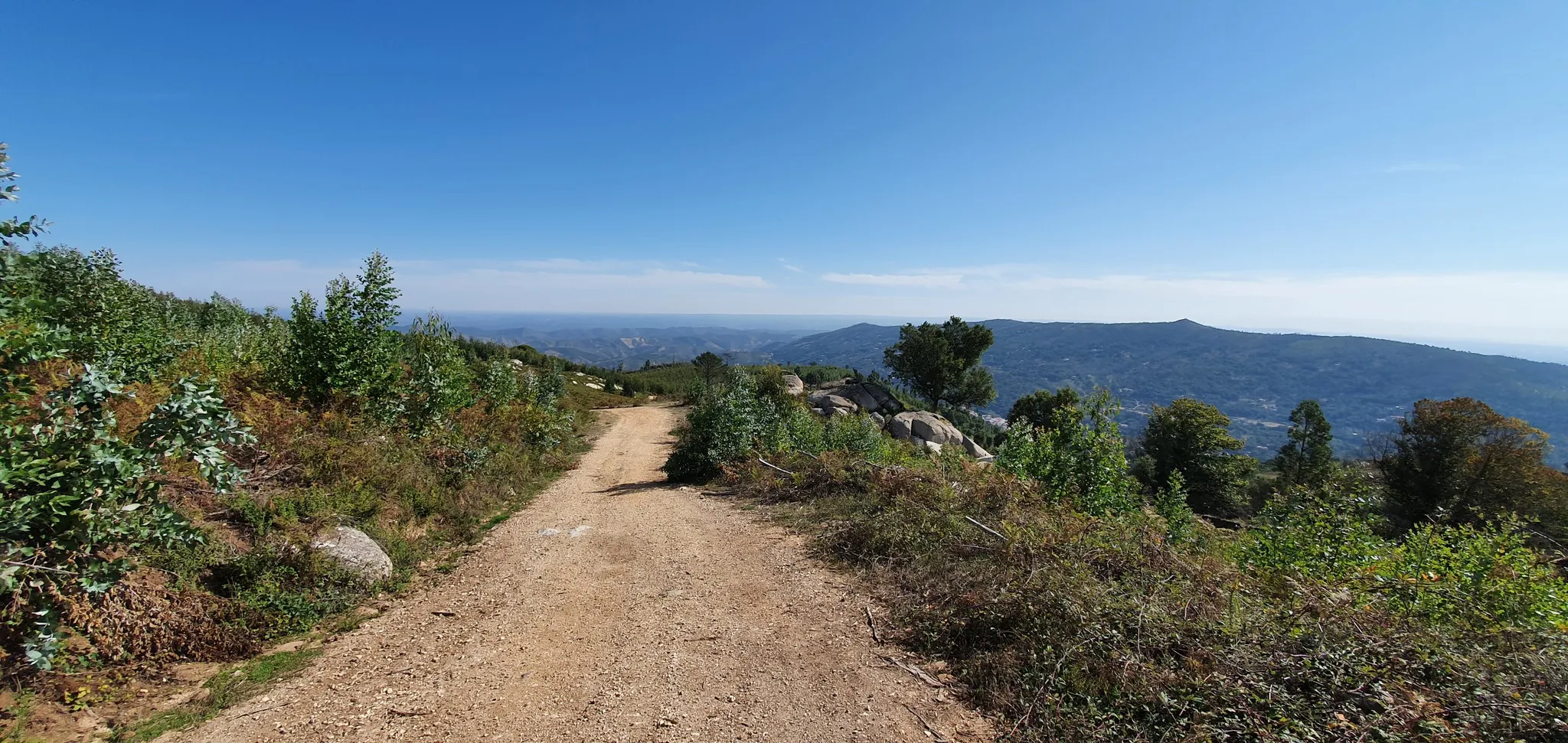
Moderate hike. Good fitness required. Mostly accessible paths. Sure-footedness required.

Sign up for free
4.3
(24)
100
hikers
10.6km
02:57
200m
200m
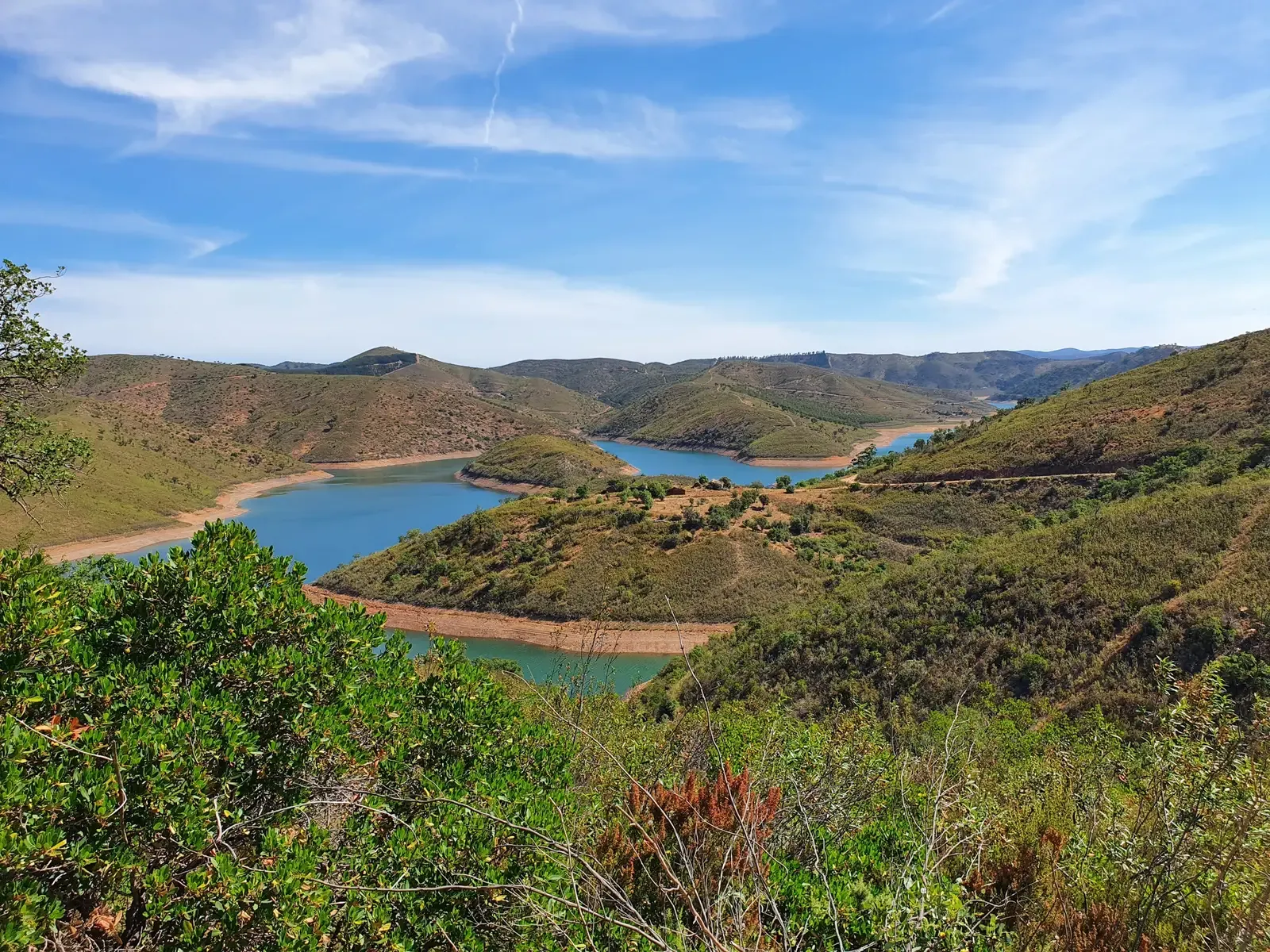
Hike the moderate 6.6-mile Odeleite PR4 circular route, exploring traditional villages, riverbanks, and panoramic views of the Odeleite dam.
4.5
(20)
58
hikers
14.4km
04:00
270m
270m
Hike the moderate 8.9-mile Terras da Ordem Trail through Mediterranean forests, past rivers, and to the Moinho das Pernadas viewpoint.
3.9
(7)
30
hikers
6.24km
01:44
120m
110m
Hike the easy 3.9-mile Circuito do Beliche (PR2) to explore diverse landscapes and enjoy views of the Beliche and Odeleite Dams.
Get access to more routes and recommendations from other explorers.
Sign up for free
Already have an account?
Our route recommendations are based on thousands of hikes, rides, and runs completed by other people on komoot.
Start today with a free account
Your next adventure awaits.
Login or Signup
Popular around Castro Marim


Tips from the Community

In the images, what you see most are pine trees, not cork oaks. These are still beautiful images.👍🥾
1
0

Alternative to the beach. In summer hot but windy, take water with you. Towards the end nice bar with kind People to have some drink!
1
0

If you visit this reservoir, be sure to visit the other dam, Odeleite, a few kilometers further north, which is almost even more beautiful. At both dams you will find hiking trails, peace and quiet, and sleepy villages.
4
0

The reservoir is really beautiful. But I haven't seen a full lake here for years. The drought here is getting worse every year
0
0

In the middle of the plantations, along the route, you will find this picturesque place with a ruin of an old mill. The building is in complete abandonment, but it still serves as a good stopping point.
2
0
Ribeira do Beliche is one of the main watercourses in the region. Further ahead, it feeds the reservoir of the same name. At this point on the route, you cross the river. A beautiful place and ideal for a stopover.
2
0
Moinho das Pernadas is located on the right bank of the Odeleite river. It is an old hydraulic mill undergoing rehabilitation by the City Council. The mill was reactivated, after spending many years (since 1980) in oblivion. It is accessed from the bank opposite this point. However, it is possible to admire it from an even more favorable angle from here.
0
0
The Terras da Ordem National Forest is located in Castro Marim and is distinguished by its diversity of flora and fauna. The name comes from its connection with the Order of Christ. The vegetation is predominantly Mediterranean, with stone pine, cork oak and other species, especially near watercourses. The lands, fertile and riverside, are marked by human presence through vegetable gardens and water mills.
1
1
Frequently Asked Questions
How many hiking trails are there in Castro Marim?
Castro Marim offers a wide selection of hiking routes, with over 60 trails available for exploration. These range from easy walks to more challenging moderate routes, catering to various skill levels.
What makes hiking in Castro Marim unique?
Hiking in Castro Marim is unique due to its diverse landscapes. You can explore the extensive salt marshes and salt pans of the Reserva Natural do Sapal de Castro Marim e Vila Real de Santo António, enjoy picturesque views along the Guadiana River, and discover traditional almond groves and Mediterranean forests. The region is also a renowned spot for birdwatching, especially flamingos and storks.
Are there easy hiking trails suitable for beginners in Castro Marim?
Yes, Castro Marim has plenty of easy hiking trails perfect for beginners or those looking for a relaxed walk. There are over 20 easy routes available. An example is the Beliche Circuit Trail, an easy 6.24 km route offering views of the Beliche and Odeleite Dams.
Can I find circular hiking routes in Castro Marim?
Yes, many of the trails in Castro Marim are circular, allowing you to start and end at the same point. The Caminho da Amendoeira — circular route (PR8) is a moderate 11.1 km option that takes you through traditional almond groves.
Where can I find trails with panoramic viewpoints in Castro Marim?
For breathtaking panoramic views, head to the hills surrounding Castle Hill (Cerro do Castelo). Another excellent spot is the Moinho das Pernadas, which you can reach via the Terras da Ordem Trail. The Odeleite viewpoint also offers magnificent perspectives of the Odeleite dam and the 'River of the Blue Dragon'.
Are there opportunities for birdwatching while hiking in Castro Marim?
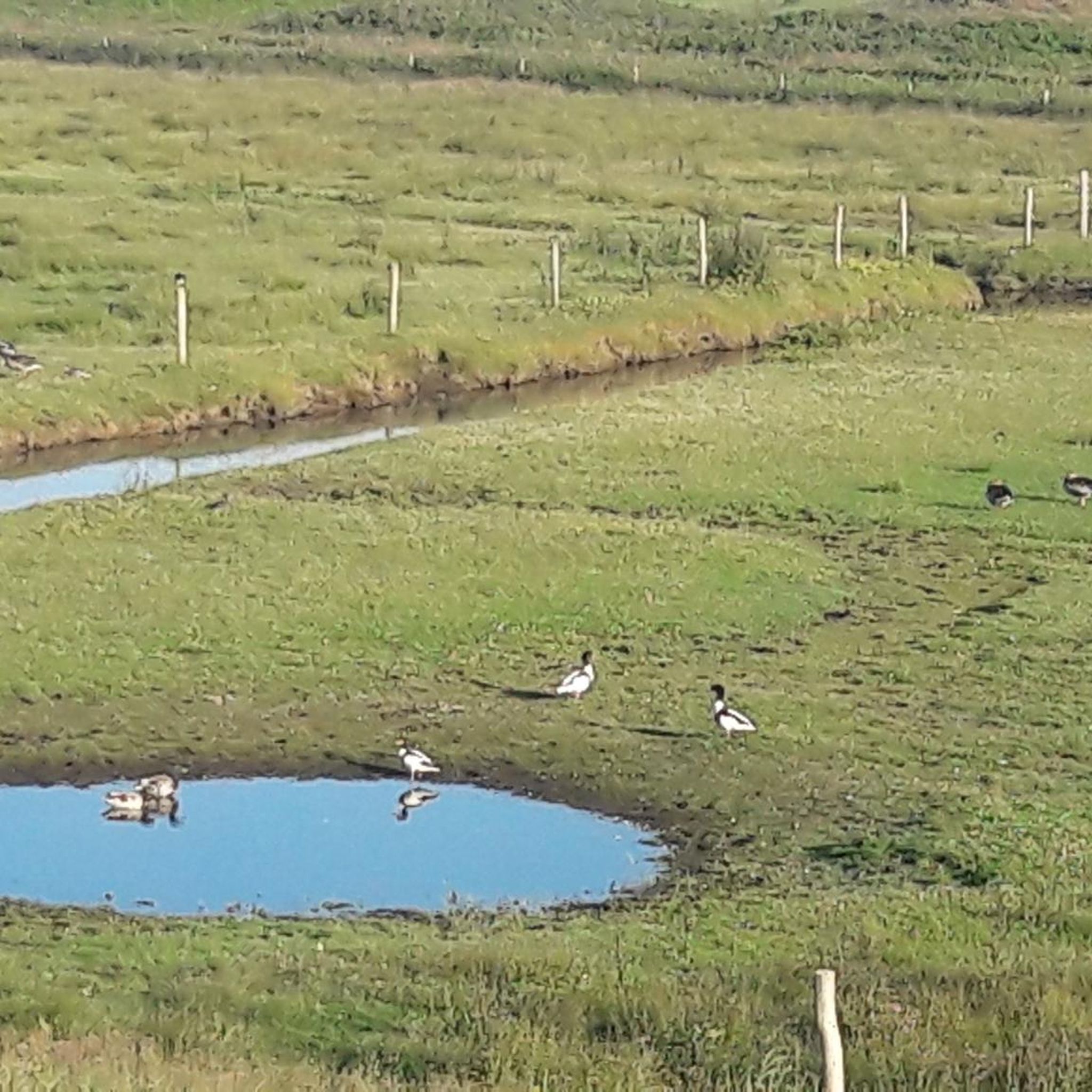
Absolutely. The Reserva Natural do Sapal de Castro Marim e Vila Real de Santo António is Portugal's first nature reserve and a prime location for birdwatching. Hikers frequently spot flamingos, storks, avocets, and spoonbills. The Venta Moinhos Salt Marsh Trail is an easy route within the reserve, ideal for nature walks and observing the diverse birdlife.
What is the best time of year to go hiking in Castro Marim?
The cooler temperatures in autumn make it an ideal time for hiking in Castro Marim, especially for birdwatching. Spring is also pleasant with blooming flora. Summers can be very hot, so early mornings or late afternoons are recommended if hiking during this season.
Are there family-friendly hiking options in Castro Marim?
Yes, many of the easier trails are suitable for families. The flat terrain within the Reserva Natural do Sapal de Castro Marim e Vila Real de Santo António, such as the Venta Moinhos Salt Marsh Trail, offers an engaging experience for all ages, with opportunities for birdwatching and learning about traditional salt production.
What natural attractions can I explore near the hiking trails in Castro Marim?
Beyond the trails, you can explore several natural attractions. The Odeleite Dam is a notable highlight, offering stunning views of the 'River of the Blue Dragon'. The region also features the extensive Odiel Marshes and various beautiful beaches like Cacela Beach and Ilha de Cabanas de Tavira Beach.
Are there any historical or cultural landmarks to see while hiking in Castro Marim?
Yes, the historic Castro Marim Castle is a prominent landmark, and its surrounding hills offer additional hiking opportunities. You can also discover traditional villages along routes like the Odeleite From Up Close and From Afar Trail, providing a glimpse into local culture and architecture. The nearby town of Vila Real de Santo António also offers cultural sights like Praça Marquês de Pombal.
What do other hikers enjoy most about the trails in Castro Marim?
The trails in Castro Marim are highly rated by the komoot community, with an average score of 4.4 stars from nearly 400 reviews. Hikers frequently praise the diverse scenery, from the unique salt marshes and river views to the panoramic vistas from the hills. The well-maintained paths and opportunities for birdwatching are also often highlighted.
Are the hiking trails in Castro Marim generally accessible by public transport or do I need a car?
While some trailheads might be accessible via local public transport to nearby villages, having a car generally offers more flexibility to reach various starting points for hikes across the diverse landscapes of Castro Marim, especially for routes further into the natural reserves or hills.
Most popular routes around Castro Marim
Most popular attractions around Castro Marim

Get inspired with the komoot mobile app


Explore more
Browse the best Hikes in other regions.
