The best walks and hikes around Ponte De Sor
4.8
(29)
113
hikers
2
hikes
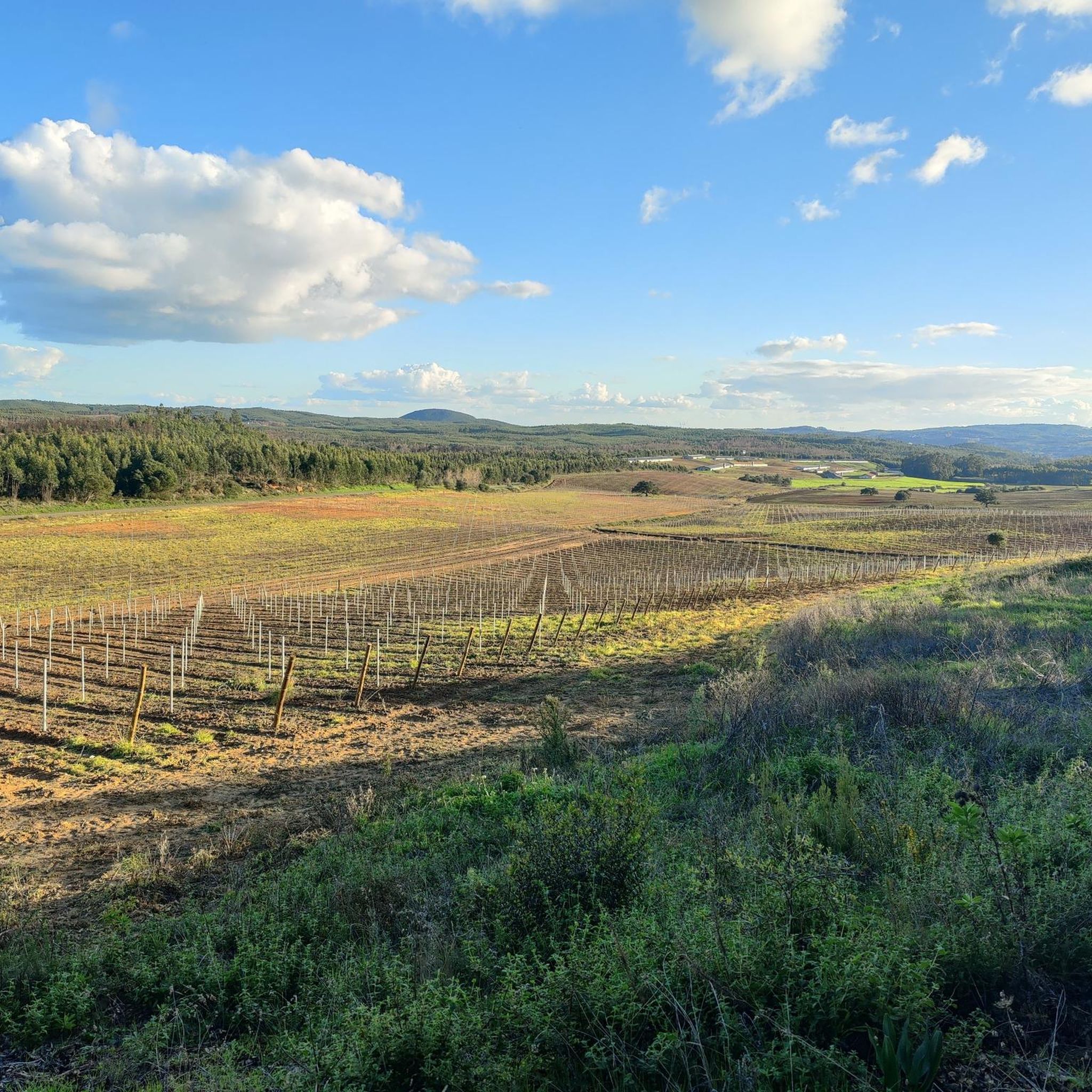
Hiking around Ponte De Sor offers trails through the Alentejo region, characterized by its rolling landscapes, riverine areas, and ecological parks. The terrain often features gentle gradients, making it accessible for various activity levels. The area provides opportunities to explore natural settings and local points of interest.
Best hiking trails around Ponte De Sor
- The most popular hiking route is Passadiço do Gameiro — circular route in Cabeção de Portalegre, a 3.7 miles (5.9 km) trail that takes 1…
Last updated: July 2, 2026
4.7
(12)
45
hikers
5.94km
01:36
70m
70m
Easy hike. Great for any fitness level. Easily-accessible paths. Suitable for all skill levels.
4.7
(12)
46
hikers
5.96km
01:36
70m
70m
Easy hike. Great for any fitness level. Easily-accessible paths. Suitable for all skill levels.

Sign up for free
5.0
(2)
12
hikers
9.83km
02:36
90m
90m
Moderate hike. Good fitness required. Easily-accessible paths. Suitable for all skill levels.
5.0
(1)
7
hikers
9.15km
02:27
100m
100m
Moderate hike. Good fitness required. Easily-accessible paths. Suitable for all skill levels.
4.5
(2)
3
hikers
12.0km
03:11
120m
120m
Moderate hike. Good fitness required. Easily-accessible paths. Suitable for all skill levels.
Our route recommendations are based on thousands of hikes, rides, and runs completed by other people on komoot.
Start today with a free account
Your next adventure awaits.
Login or Signup
Popular around Ponte De Sor
Tips from the Community

Please note that this route is closed. The landowners where the walkways pass, I was told, are in dispute with the City Council and have a sign at the entrance to the walkway informing that it is private property and that entry is not permitted.
0
0

The walkway begins at the charming Praia Fluvial do Gameiro and immediately plunges you into a wilder Alentejo, always following the Raia river. As you progress, the montados embrace the trail and the sound of the water soothes the landscape. Here, amidst the shadows and silence, it is not uncommon to come across grey herons, kingfishers or jays, winged sentinels of this riverside paradise.
2
1

It is located in the Riverside and intends to serve the people who live in the left riverside and need to go to the city center. Despite being pedestrian, its structure also allows it to be crossed by bicycles and motorcycles (driven by hand). It has a unique aesthetic and innovative engineering, presenting a tubular structure, without pillars or supports. At night, the lighting interacts with the people, changing colors as they pass. NOTE: The pedestrian bridge is integrated in PR1, but on the inauguration plaque, it is like a “sculpture bridge”, thus being integrated in the urban art guide.
2
0
It is located in the riverside area of Ponte de Sor and is intended to be a structure that serves the populations that live on the left bank of the river and need to travel to the city centre. Although it is pedestrianised, its structure also allows it to be crossed by bicycles and motorbikes (hand-driven). It has a unique aesthetic and innovative engineering, featuring a tubular structure, without pillars or supports. At night, the lighting interacts with passers-by, changing colour as they pass. NOTE: The pedestrian bridge is part of the PR1, but on the inauguration plaque it is listed as a “sculpture bridge”, thus being part of the urban art route.
2
1
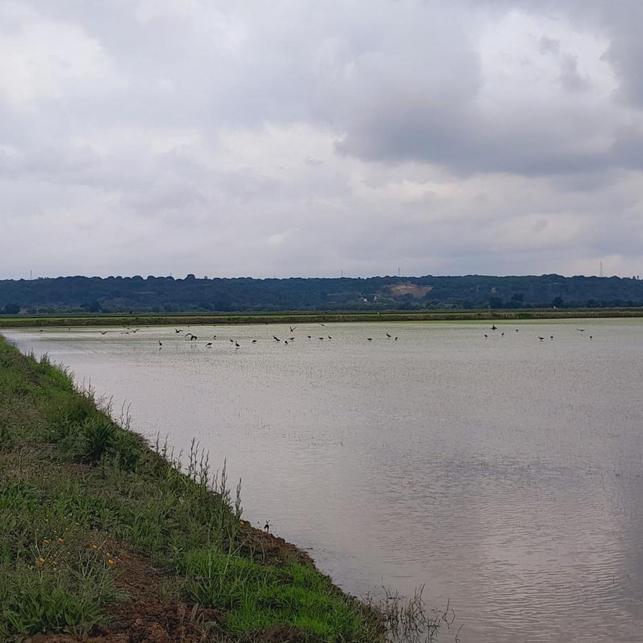
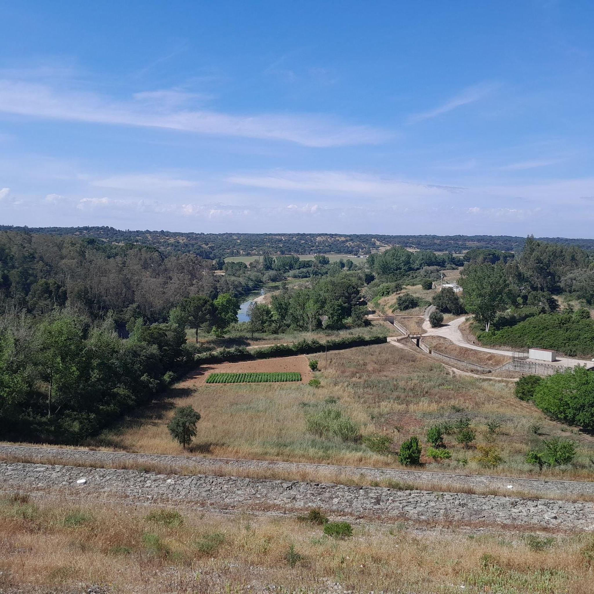
The Raia stream is a water reservoir that originates in the municipality of Mora, more specifically in the parish of Cabeção, where the waters of two small streams, the Seda and Tera, meet. A few kilometres further on, it joins the Sor stream, in the parish of Couço, and is a tributary of the Sorraia river, which belongs to the Tagus river basin. The Gameiro dam is located in the initial section of the Raia stream, and is part of the hydro-agricultural development project known as the Prata river. The name Raia probably has Arabic origins. The Gameiro River Beach is located in the Gameiro Ecological Park, very close to the Mora River. The Gameiro dam, on the Raia River, gave rise to this wonderful bathing area. This ecological park is a point of interest in the municipality due to the variety of attractions and infrastructure available. The existing facilities include a campsite, a picnic area, the Mora River Park, and the Tree Climbing Park, where the entire area is designed for extreme sports. For younger guests, there is a children's playground and a café with a fantastic terrace. There is also an Environmental Interpretation Centre. The most attractive spot is the beautiful wooden walkway, known as the Gameiro Ecological Park Walkway. It is built entirely of wood and is 1.5 kilometres long. It offers an absolutely incredible view over the Raia River. The entire trail provides information about the trees, shrubs and flowers that grow there. For nature lovers, this is undoubtedly the ideal place to spend pleasant summer days. The riverside flora is characterised by poplars and willows, and the trail area is home to pine trees and cork oaks. Some of the points of interest in the area: • Gameiro Reservoir • Ribeira da Raia • Gameiro Ecological Park Walkways • River Beach • Picnic Park • Riverside Areas • Largo do Lagar Garden • Nossa Senhora da Purificação Parish Church • Natural Landscapes
4
0
The Gameiro Ecological Park was created at the Gameiro Dam, on the Raia River. It is a park that serves as a point of interest for the municipality, as it has a diverse range of attractions and infrastructures available. Examples include the Camping Park, Picnic Park, Leisure Area, Mora River and the Tree Climbing Park in the surrounding area, designed for extreme sports, and the Wooden Walkway along 1.5 km of the Raia River. The Gameiro Ecological Park is located in the parish of Cabeção, in the municipality of Mora.
4
1
During the day, it is a Cafeteria, Bakery, Restaurant and Snack-Bar. At night, it is a Brewery and Pub. It has delicious baguettes and the staff is very friendly and familiar. A place not to be missed in Cabeção. Closed on Thursdays.
4
1
The Ribeira da Raia is a Portuguese watercourse that originates in the Alentejo, in the parish of Cabeção, from the junction of the Seda and Tera rivers. It passes north of the town of Mora and flows into the left bank of the Ribeira de Sor, in the parish of Couço, where they form the Sorraia river. The name Raia probably has Arabic origins and designates the border region of the Almohad territory, just like the place name Soutelinho da Raia on the border between Portugal and Spain.
4
0
Frequently Asked Questions
What kind of terrain can I expect on hikes around Ponte De Sor?
The hiking trails around Ponte De Sor are primarily characterized by rolling landscapes, riverine areas, and ecological parks within the Alentejo region. You'll find mostly gentle gradients, making many routes accessible for various activity levels.
Are there any easy, family-friendly hikes in Ponte De Sor?
Yes, there are several easy options suitable for families. The Passadiço do Gameiro — circular route in Cabeção de Portalegre is a pleasant 3.7-mile (5.9 km) path. Another great choice is the Fluviario de Mora loop from Fluviário de Mora, which is also an easy 3.7-mile (5.9 km) route offering riverside scenery.
Are there any longer or more challenging hikes available?
For those seeking a bit more challenge, the region offers moderate trails. The Gameiro Ecological Park – Raia Stream loop from Fluviário de Mora is a 6.1-mile (9.8 km) trail through the ecological park. Another good option is the Riverside Park – Sculpture Bridge loop from Ponte de Sor, which is a 7.5-mile (12 km) route.
What are some interesting places to explore along the trails?
Many trails offer access to local points of interest. You can explore the Gameiro Ecological Park, walk along the Gameiro Ecological Park Boardwalk, or visit the Fluviário de Mora. The Sculpture Bridge is also a notable landmark along one of the riverside routes.
Are there any circular walks in the Ponte De Sor area?
Yes, all the featured routes in Ponte De Sor are circular. Examples include the Passadiço do Gameiro — circular route, the Fluviario de Mora loop, and the Seda Castle loop.
What is the best time of year to go hiking in Ponte De Sor?
Ponte De Sor, located in the Alentejo region, experiences hot, dry summers and mild, wet winters. The most comfortable times for hiking are typically spring (March to May) and autumn (September to November) when temperatures are moderate and the landscape is vibrant.
Are the hiking trails in Ponte De Sor dog-friendly?
While specific regulations can vary, generally, dogs are welcome on many trails in Portugal, especially in natural and rural areas, provided they are kept on a leash and owners clean up after them. It's always advisable to check local signage or park rules for specific restrictions, particularly in ecological parks.
Can I find hikes that are around 3 hours long?
Yes, several routes fit within or just over a 3-hour timeframe. The Gameiro Ecological Park – Raia Stream loop typically takes about 2 hours 36 minutes. For a slightly longer excursion, the Riverside Park – Sculpture Bridge loop is estimated at around 3 hours 10 minutes.
What do other hikers say about the trails in Ponte De Sor?
The hiking routes in Ponte De Sor are highly regarded by the komoot community, holding an average score of 4.8 stars from over 30 reviews. Hikers often praise the peaceful river paths, the beauty of the ecological parks, and the well-maintained trails that offer a pleasant outdoor experience.
Are there any wild swimming spots near the hiking trails?
Given the region's riverine characteristics, there are opportunities for wild swimming. The area around the Raia Stream and other river sections may offer suitable spots, particularly during warmer months. Always exercise caution and check local conditions before entering the water.
Are there any cafes or facilities along the hiking routes?
While many trails are in natural settings, areas like the Fluviário de Mora often have visitor facilities, which may include cafes or restrooms. For other routes, it's recommended to carry your own refreshments, especially on longer excursions.
Most popular routes around Ponte De Sor
Most popular attractions around Ponte De Sor

Get inspired with the komoot mobile app


Explore more
Browse the best Hikes in other regions.
