Top 20 Natural Monuments around Gulpen-Wittem
Best natural monuments around Gulpen-Wittem are found in the picturesque Limburg region of the Netherlands, known for its unique and characteristic landscape. The area features a diverse topography with river valleys, marl cliffs, and the highest point in the Netherlands. This region offers opportunities for outdoor activities and quiet contemplation amidst distinctive natural beauty. Gulpen-Wittem provides a chance to explore significant natural highlights and experience serene countryside.
Best natural monuments around Gulpen-Wittem
- The most popular natural monuments is Bemelerberg Climb…
Last updated: May 14, 2026
Vaalserberg Three-Country Point
Highlight • Monument
Translated by Google •
Tip by

Bemelerberg Climb
Highlight (Segment) • Climb
With the racing bike, it's all about dividing the effort. After the cornering, it's still climbing.
With the Tour bike, it's about finding a good rhythm and enjoying it.
Translated by Google •
Tip by

Sign up now to discover places like this
Get recommendations on the best single tracks, peaks, & plenty of other exciting outdoor places.
Sign up for free
Translated by Google •
Tip by

Marl Cliff along the Geul
Highlight • Gorge
Translated by Google •
Tip by

Hohnbach Valley
Highlight (Segment) • River
Translated by Google •
Tip by

Sign up for free to discover even more natural monuments around Gulpen-Wittem.
Sign up for free
Already have an account?
Start today with a free account
Your next adventure awaits.
Login or Signup
Popular around Gulpen-Wittem
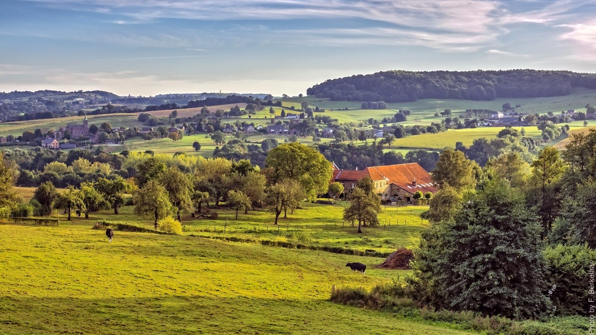
Pilgrim's Way part 2 — s-Hertogenbosch to Maastricht
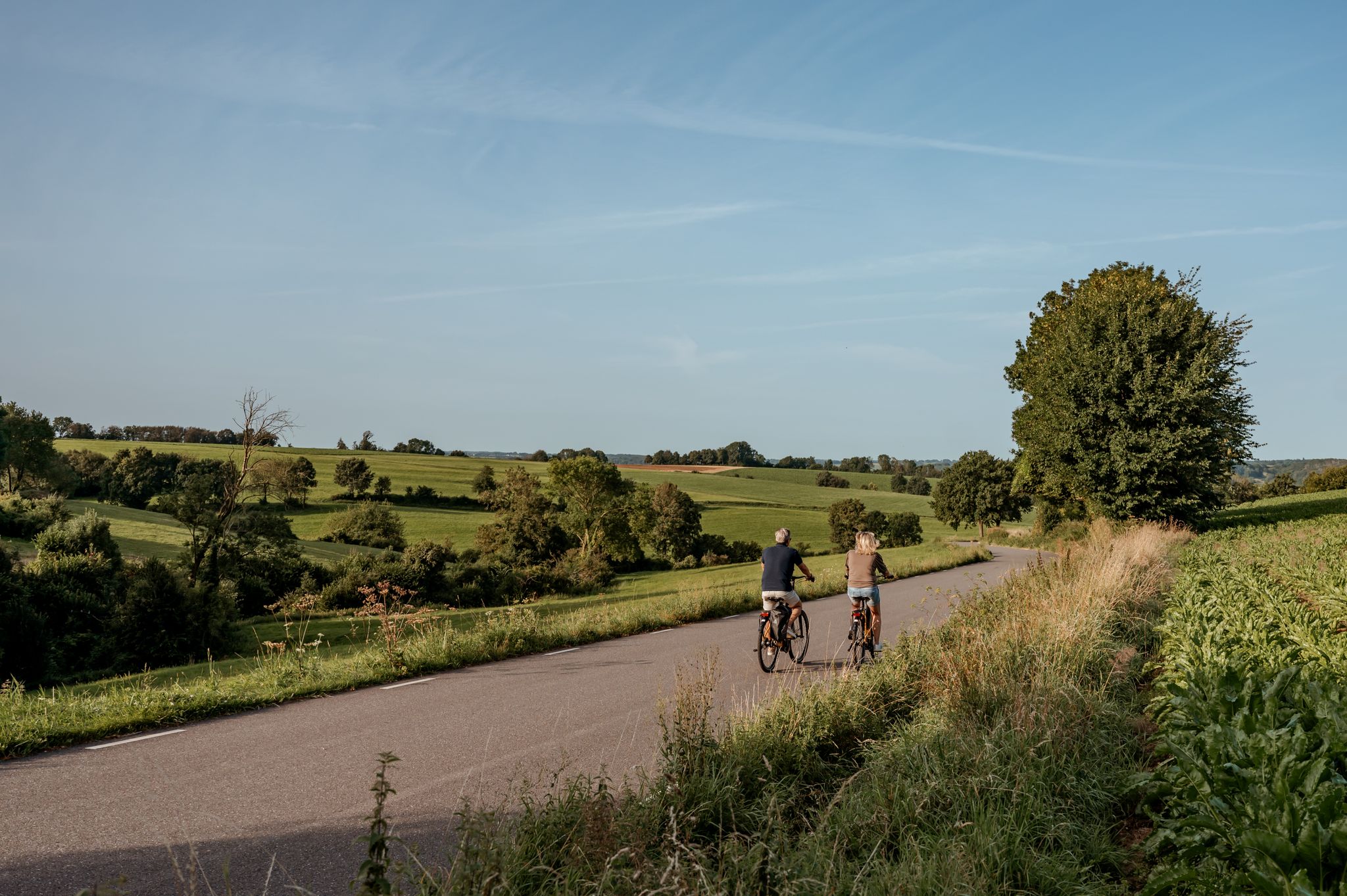
The best of South Limburg by bike
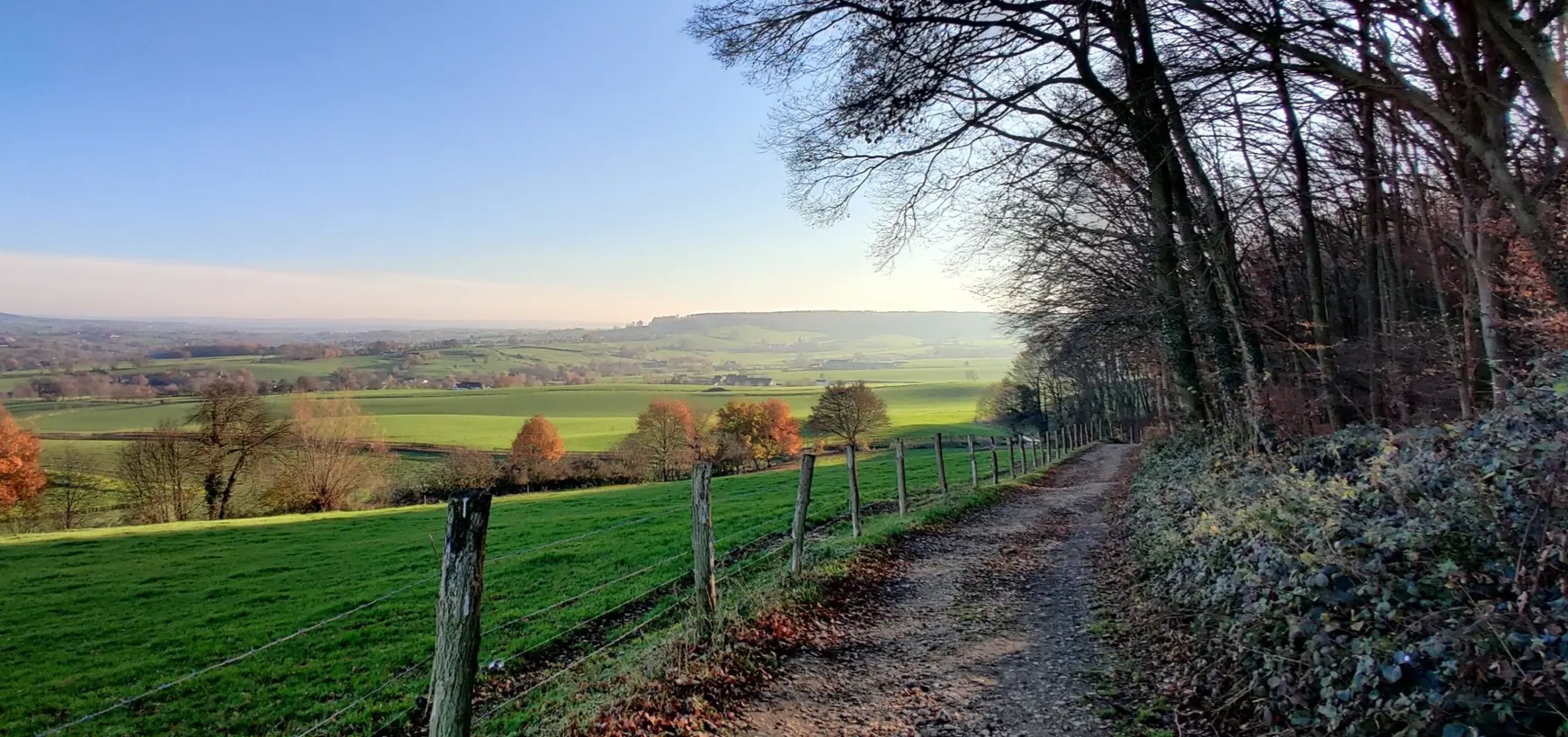
Two days Graveling through the Heuvelland – Limburg200 Gravel
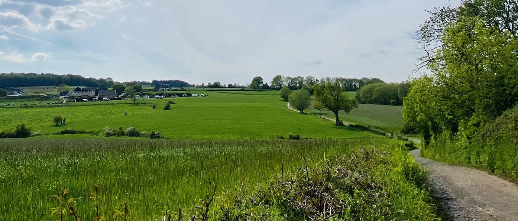
The Krijtlandpad trail - South Limburg at its best in five hiking stages
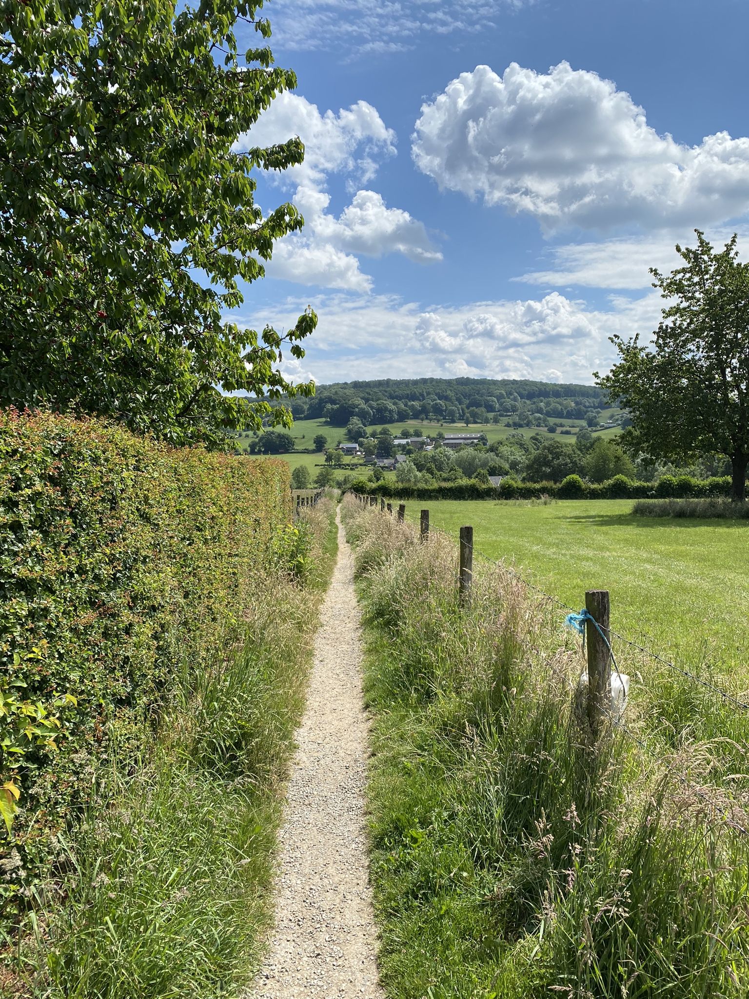
Train your calves in the rolling hills - 10 trailruns in Limburg
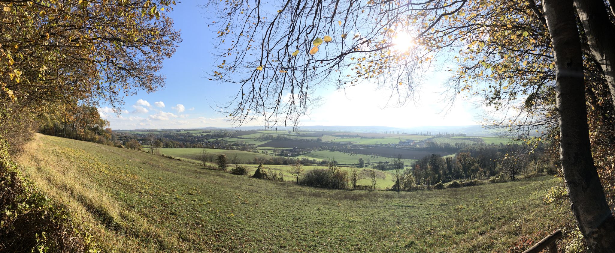
A merry multi-day hike – Limburg Pubs Route
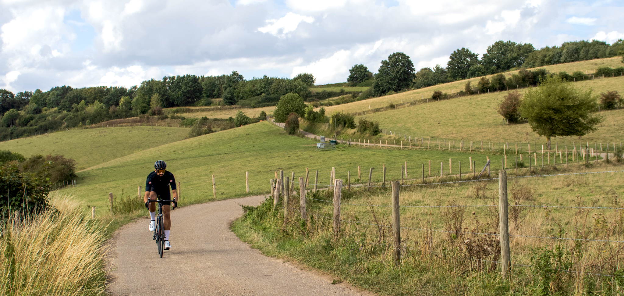
Cross-border cycling in South Limburg – the alternative routes
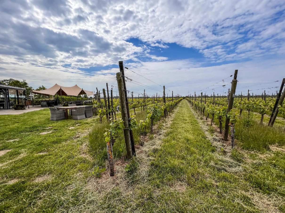
Hike and wine – walking through vineyards in the Netherlands
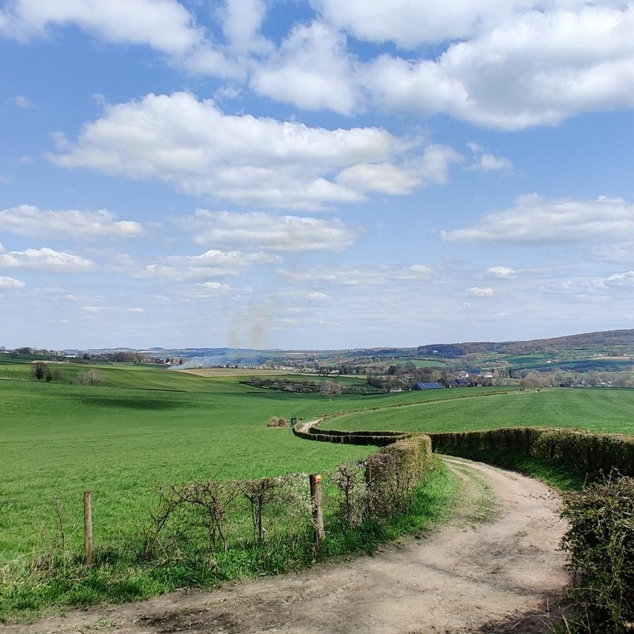
Hiking around Gulpen-Wittem
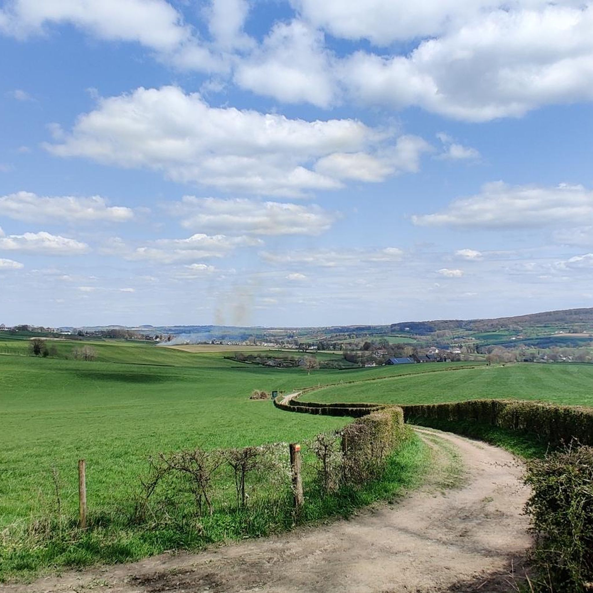
Cycling around Gulpen-Wittem
Other adventures around Gulpen-Wittem


Tips from the Community

Along the rippling Geul River, an impressive marlstone wall rises, a silent witness to Limburg's underground landscape. These calcareous rocks were used for centuries for construction and crafts and now offer a fascinating sight for hikers and nature lovers. The wall forms a natural boundary along the water and, in some places, harbors small caves and niches where flora and fauna have found a home. The contrast of the white marl against the green foliage and the glistening water of the Geul makes this a particularly photogenic and tranquil spot during your walk.
0
0

Beautiful part of the walk along the Geul
0
0

When the path that has been running between slopes and sloping forest on one side and the Geul on the other side suddenly starts to rise a bit, you know what is coming: part of the marl crops out and offers you a glimpse of what you can discover if you take one of the paths away from the Geul: quarries and marl.
6
0

Beautiful path between marl and Geul...
7
0

Along the Geul you will repeatedly come across steep slopes made of marl, which has been mined in this region for hundreds of years and is also used in Häuserbai. With a bit of luck you can find fossils.
4
0

The Vaalserberg has been included in the cycling classic Amstel Gold Race several times. The climb is then conquered once via the Dutch side (east side), as the eleventh climb after the Camerig and before the Gemmenicherweg. In the Amstel Gold Race the slope is referred to as Drielandenpunt. (Wikipedia)
19
0
The highest point in the Netherlands coincides with the three-country point and is an important tourist attraction.
21
0

As early as the late Middle Ages, the border of the former Aachen Empire, fortified with the Aachen Moat, ran from south to north across the ridge of the Vaalserberg. From 1839 to 1919, the Vaalserberg, with the disputed area of Neutral Moresnet as the fourth country, was even a four-country corner (Vierlandenpunt), which is still remembered in the name of the access road on the Dutch side - Viergrenzenweg. During the First World War, from 1915 to 1918, the high-voltage border barrier stretched along the Belgian-Dutch border for a length of 300 kilometers from the then four-country corner on the Vaalserberg to the Belgian North Sea coast near Knokke. The German invasion of Belgium in 1914 via Gemmenich to Diksmuide, which brought much suffering to the Belgian population, is commemorated by a memorial made of compressed war material at the southern tip of the Vaalserberg, called Via Dolorosa.
23
0
Frequently Asked Questions
Which natural monuments are most popular with visitors in Gulpen-Wittem?
Among the most appreciated natural monuments in Gulpen-Wittem are the Vaalserberg Three-Country Point, which is the highest point in the Netherlands and a meeting point of three countries. Another popular spot is the Bemelerberg Climb, known for its alpine feel. Visitors also frequently explore the Marl Cliff along the Geul, an impressive marlstone wall rising along the Geul River.
Are there hiking opportunities near the natural monuments in Gulpen-Wittem?
Yes, the region offers numerous hiking opportunities. You can find various routes, including mountain hikes, that allow you to explore the unique landscape. For example, there are routes like the 'Maria Monument, Gulperberg – Virgin Mary statue loop' or the 'Göhl Tunnel – Vaalserberg Three-Country Point loop'. You can discover more options on the Mountain Hikes around Gulpen-Wittem guide.
What kind of terrain can I expect on trails near Gulpen-Wittem's natural monuments?
The terrain around Gulpen-Wittem's natural monuments is characterized by its unique Limburg landscape. You'll encounter river valleys, such as the Geul and Gulp valleys, and impressive marl cliffs. Some areas, like the Bemelerberg Climb, offer an alpine feeling with bends and ascents, while others feature narrow paths alongside rivers and through forests.
Are there family-friendly natural monuments to visit in Gulpen-Wittem?
Absolutely. Several natural monuments in Gulpen-Wittem are suitable for families. The Vaalserberg Three-Country Point is a great example, offering activities for all ages around the highest point in the Netherlands. The Hohnbach Valley also features versatile and beautiful ways to explore, making it enjoyable for families.
Can I bring my dog to the natural monuments in Gulpen-Wittem?
Generally, Gulpen-Wittem's natural areas are welcoming to dogs, especially on trails and in open landscapes. However, it's always advisable to keep dogs on a leash to protect local wildlife and ensure a pleasant experience for all visitors. Specific rules might apply in designated quiet areas or nature reserves, so check local signage.
What unique natural features can I observe in Gulpen-Wittem?
Gulpen-Wittem is known for its distinctive natural features. You can see the impressive Marl Cliff along the Geul, a marlstone wall with small caves and niches. The region also boasts the picturesque Geul and Gulp valleys, recognized as a 5-star landscape, and the Vaalserberg, which is the highest point in the Netherlands.
Are there designated quiet areas for relaxation in Gulpen-Wittem?
Yes, Gulpen-Wittem features three designated quiet areas: between Wijlre and Trintelen, between the Geul and Gulp rivers, and between Slenaken and Vaals. These areas are ideal for walking, cycling, and recreation, provided visitors maintain a low sound level (maximum 40 decibels) to preserve the tranquility and support local wildlife.
What cycling routes are available near the natural monuments?
The region offers excellent cycling opportunities, including both MTB trails and road cycling routes. You can explore challenging climbs and scenic loops. For mountain biking, check out the MTB Trails around Gulpen-Wittem guide, and for road cycling, refer to the Road Cycling Routes around Gulpen-Wittem guide.
What is special about the Vaalserberg Three-Country Point?
The Vaalserberg Three-Country Point is unique as it marks the exact spot where the borders of Belgium, Germany, and the Netherlands meet. It is also the highest point in the Netherlands, standing at 323 meters. An observation tower at the summit provides expansive views over all three countries, and there are various activities for visitors.
Are there any historical or cultural sites integrated with the natural monuments?
Yes, the natural landscape of Gulpen-Wittem is often intertwined with cultural history. The Geul and Gulp valleys, for instance, are rich in both natural beauty and historical elements. The Vaalserberg Three-Country Point itself is considered both a natural and a historical site, with its significance dating back centuries.
What do visitors enjoy most about the natural monuments in Gulpen-Wittem?
Visitors frequently highlight the stunning vistas and tranquil environments that allow them to recharge. They appreciate the unique character of the landscape, often described as having a 'foreign' feel within the Netherlands. The combination of active recreation like hiking and cycling with moments of quiet contemplation amidst distinctive natural beauty is a major draw.
Most popular routes around Gulpen-Wittem
Most popular attractions around Gulpen-Wittem

Get inspired with the komoot mobile app


Explore more
Extend your search for the best caves by checking out these guides of the top ones around Gulpen-Wittem:
