The best mountain hikes around Mook En Middelaar
4.9
(10)
26
hikers
5
hikes
Mountaineering around Mook En Middelaar features a distinctive hilly landscape, shaped by moraines from the last ice age, offering varied terrain. The region is characterized by extensive forests, heathlands like the Mookerheide, and the prominent Duivelsberg hill. The Maas River and its floodplains also contribute to the area's natural features, providing diverse environments for outdoor activities. This topography creates an "un-Dutch" landscape with notable elevation differences.
Best mountaineering routes around Mook En Middelaar
- The most popular mountaineering route is Picnic…
Last updated: August 28, 2026
4.8
(8)
20
hikers
Moderate mountaineering route. Good fitness required. Easily-accessible paths. Suitable for all skill levels.
3
hikers
Easy mountaineering route. Great for any fitness level. Easily-accessible paths. Suitable for all skill levels.

Sign up for free
5.0
(1)
1
hikers
Easy mountaineering route. Great for any fitness level. Easily-accessible paths. Suitable for all skill levels.
5.0
(1)
1
hikers
Easy mountaineering route. Great for any fitness level. Easily-accessible paths. Suitable for all skill levels.
1
hikers
Easy mountaineering route. Great for any fitness level. Easily-accessible paths. Suitable for all skill levels.
Our route recommendations are based on thousands of hikes, rides, and runs completed by other people on komoot.
Start today with a free account
Your next adventure awaits.
Login or Signup
Popular around Mook En Middelaar
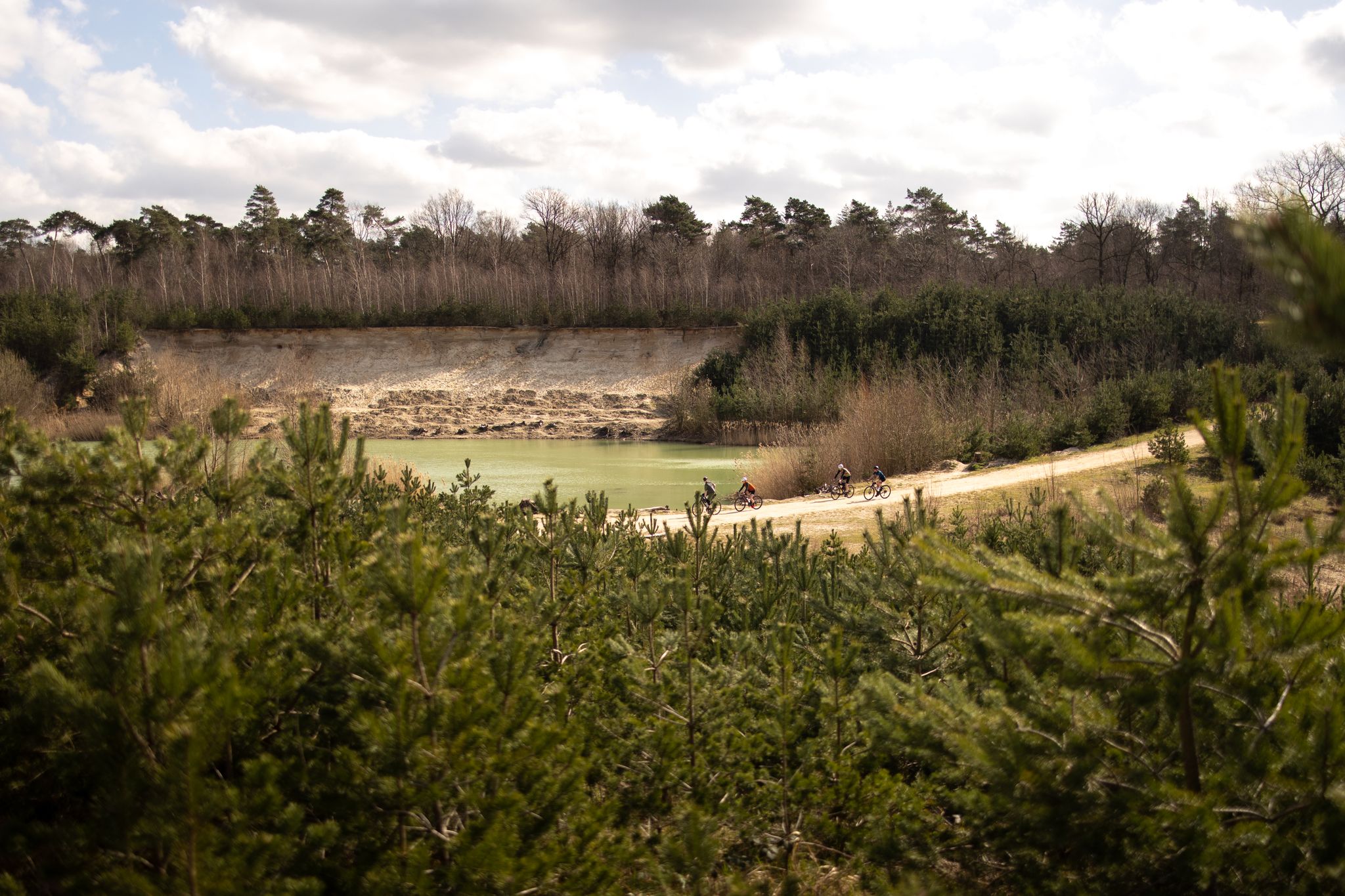
The Pieterpad by bike – From Pieterburen to Sint-Pietersberg
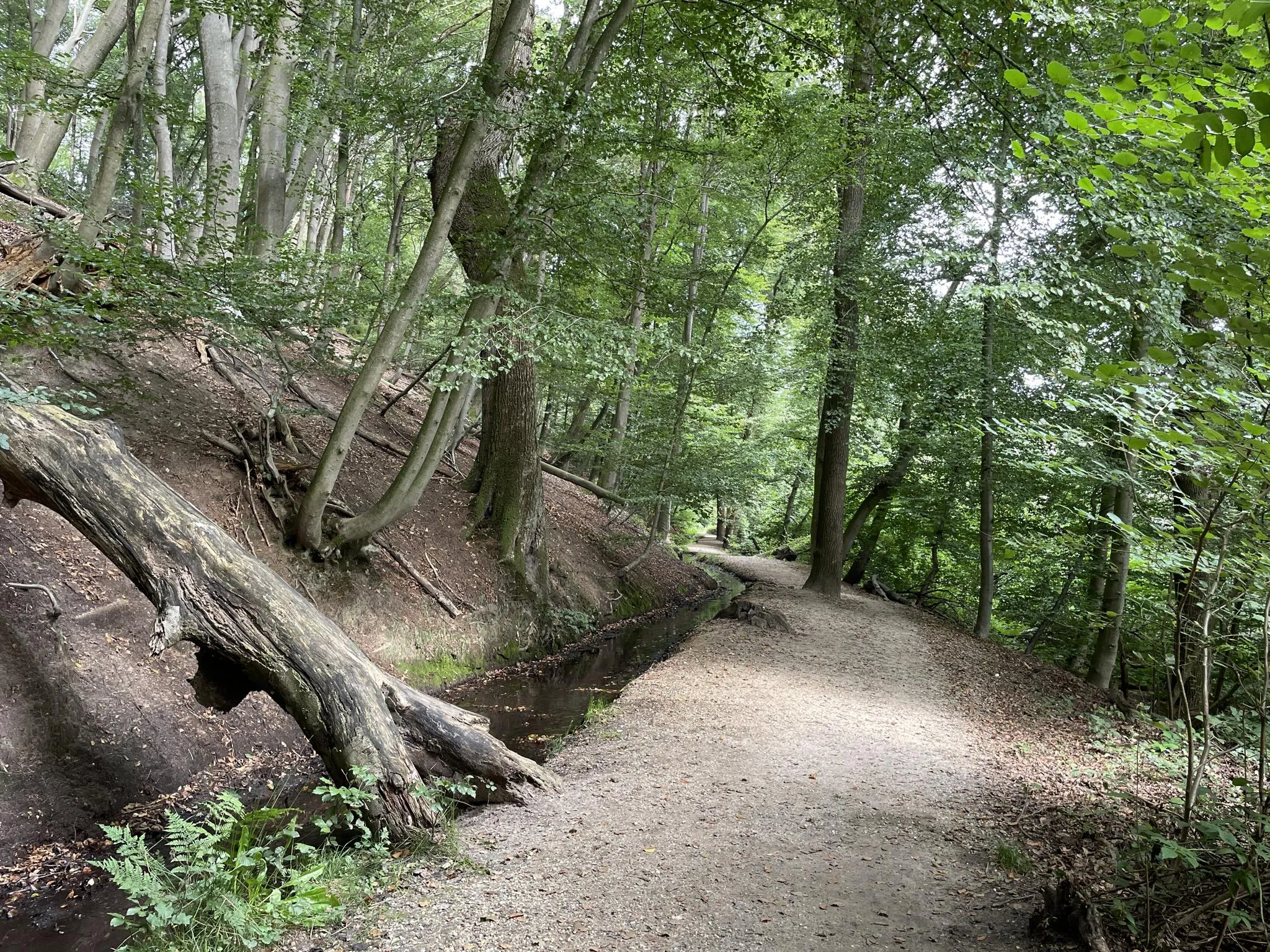
Blow away between forests and flood plains - Nijmegen regional trail
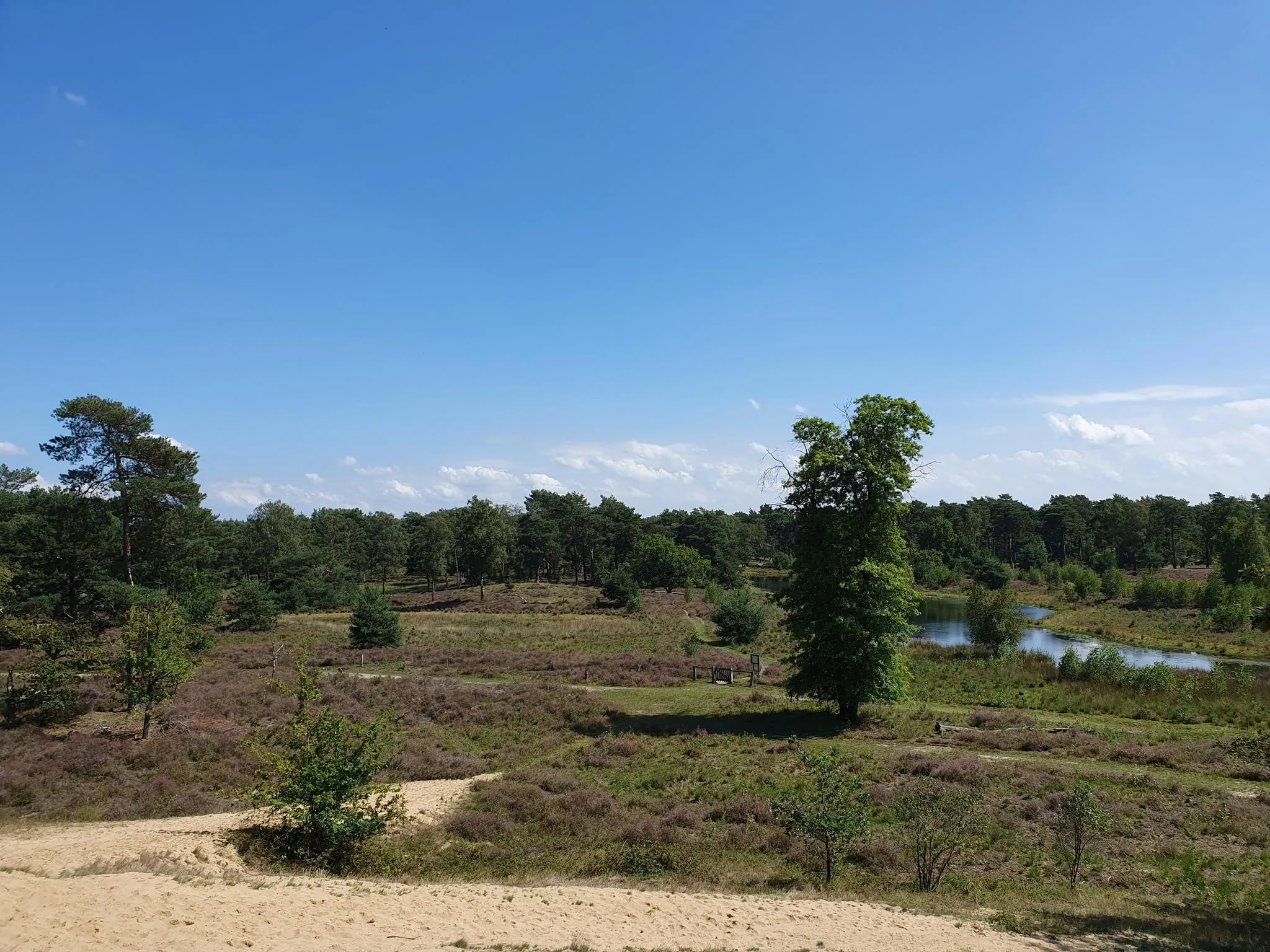
The Maas-Niederrhein Trail - Cross-border hiking in 19 stages
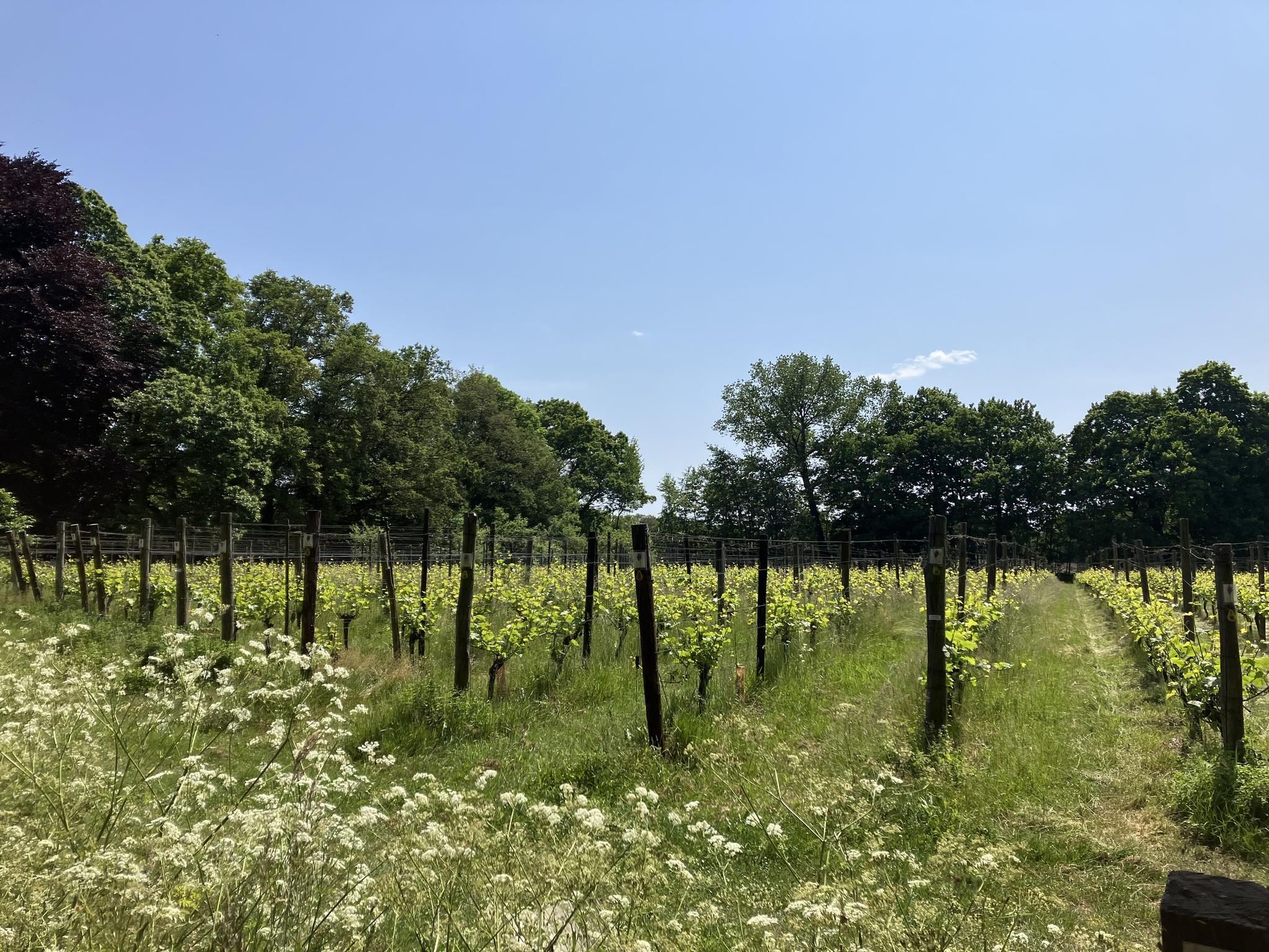
Hiking through the vineyards – 20x tasting in Gelderland
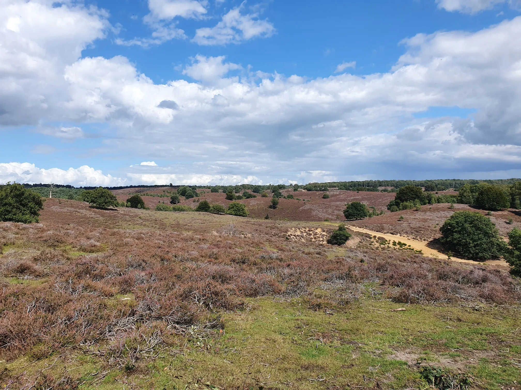
In the middle of nature - 20 accessible routes in Gelderland
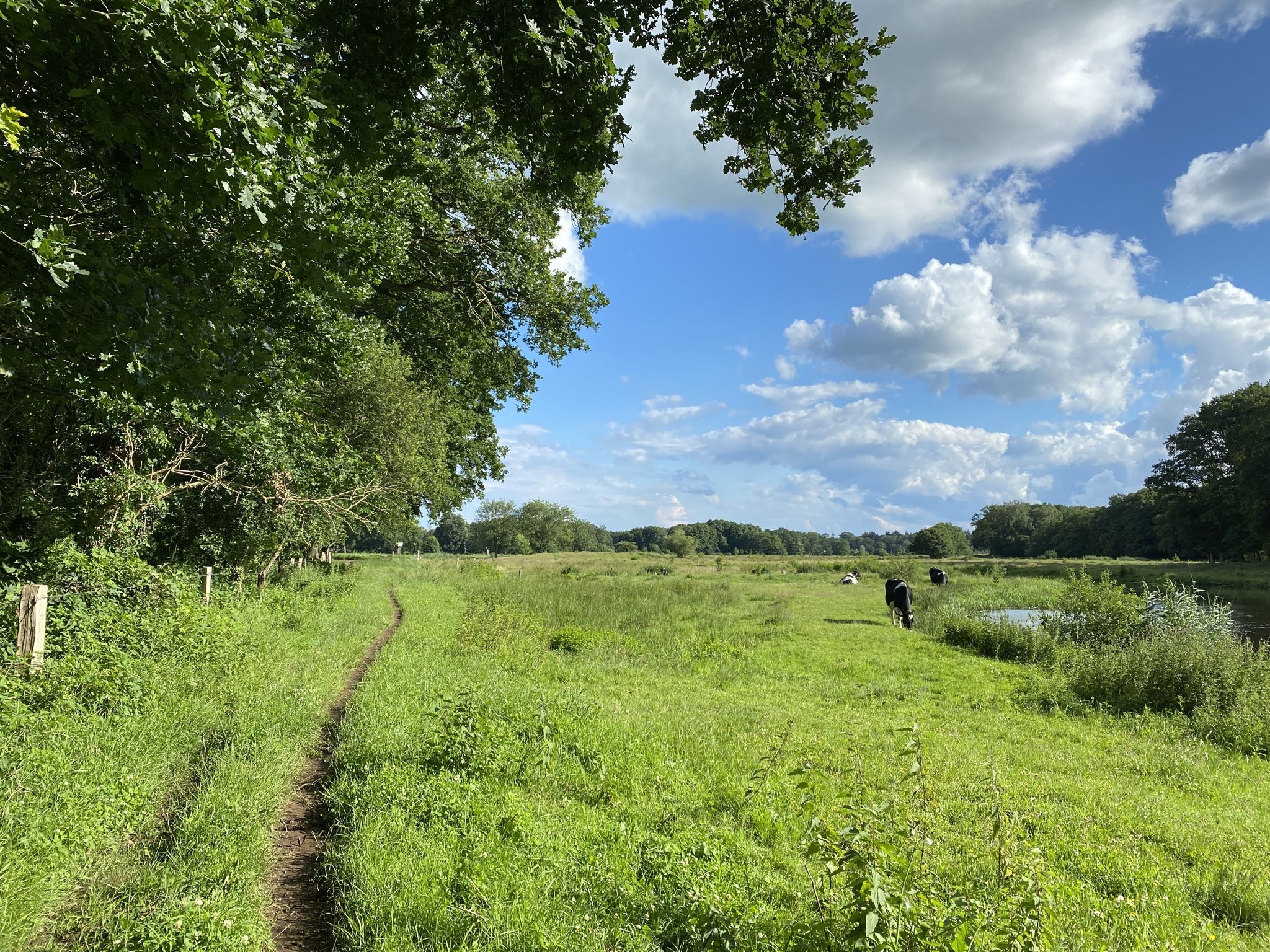
Out of the city - Eight Trailruns near the train station (5-15 kilometers)
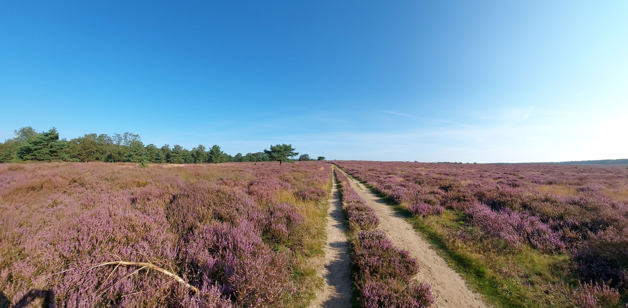
The Netherlands turns purple – 15 walks across the flowering heathlands
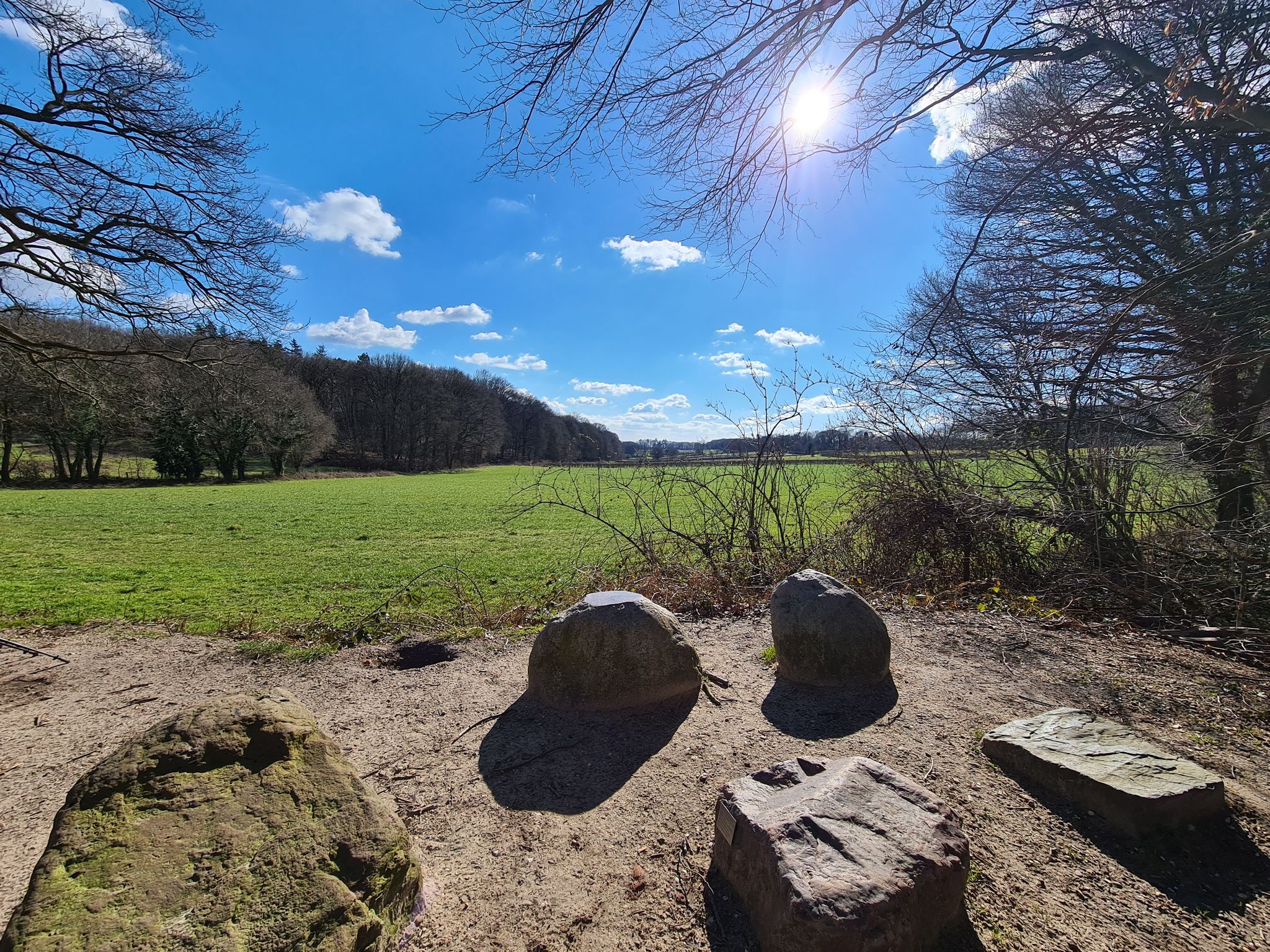
Weirs, dry valleys and boulders – 8 Dutch Geotrails
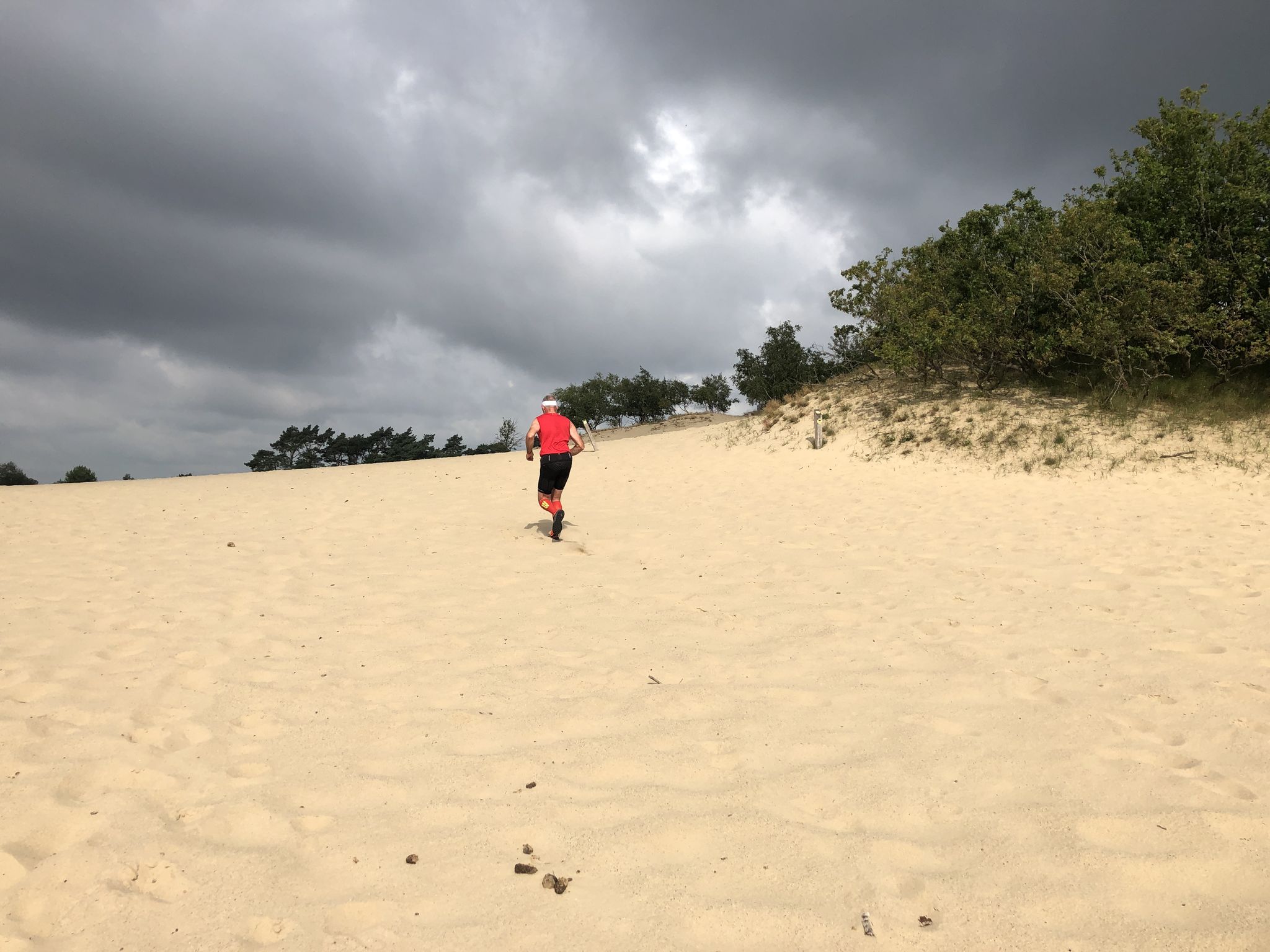
Trail runs for beginners – running off-the-beaten-track in the Netherlands
Hiking around Mook En Middelaar
Other adventures around Mook En Middelaar


Tips from the Community

you will encounter enough of these little stairs
0
0


It can be busy on weekends. It is a popular hiking area.
1
0

The thought is nice, but there would be better benches upstairs
0
0

nice area for walking, dogs are allowed to run free here between 1-10 and 1-5
1
0

Beautiful view over the Rhine Valley
0
0
Frequently Asked Questions
How many mountaineering routes are available in Mook En Middelaar?
There are currently 4 mountaineering routes available in Mook En Middelaar, offering a range of experiences from easy strolls to more moderate hikes through the region's unique landscapes.
Are there easy routes suitable for beginners or families in Mook En Middelaar?
Yes, Mook En Middelaar offers several easy routes perfect for beginners or families. For example, the Devil's Mountain (Duivelsberg) – Wylerberg Lake loop from Persingen is an easy 5.1 km route with moderate elevation changes, providing a pleasant experience for all skill levels. Another great option is the Eatery De Diepen - Milsbeek – Ketelwald Trail at Grensweg loop from Milsbeek, which is 6.7 km and also rated easy.
What kind of terrain can I expect on mountaineering routes in Mook En Middelaar?
The terrain in Mook En Middelaar is characterized by a unique rolling moraine landscape, river dunes, and stream valleys, shaped by the last ice age. You'll encounter varied paths through ancient woodlands, expansive heathlands like the Mookerheide, and some 'calf burners' with noticeable elevation differences, offering 'un-Dutch views' for the region.
Are there any circular mountaineering routes in Mook En Middelaar?
All the mountaineering routes listed for Mook En Middelaar are circular, providing convenient starting and ending points. This includes routes like the Picnic Spot by the Stream – Heerlijkheid Beek Viewpoint loop from Berg en Dal and the Sunken Path in the Forest – Devil's Mountain (Duivelsberg) loop from Beek.
What are the typical distances and durations for mountaineering routes in this region?
The routes in Mook En Middelaar vary in length and duration. You can find shorter, easy routes around 5-7 km, taking approximately 1.5-2 hours, such as the Devil's Mountain (Duivelsberg) – Wylerberg Lake loop from Persingen. For a more moderate challenge, there's a 13.2 km route that typically takes around 3.5-4 hours to complete.
What natural highlights or viewpoints can I expect along the routes?
Many routes offer scenic viewpoints and natural highlights. You can explore the Duivelsberg (Devil's Hill), which provides rewarding views of wooded areas and floodplains. The Sunken Path in the Forest is another unique feature. The region also boasts the extensive Mookerheide heathlands and the recreational Mookerplas lake.
Can I bring my dog on the mountaineering routes in Mook En Middelaar?
Many natural areas in the Netherlands, including parts of Mook En Middelaar, are dog-friendly, often requiring dogs to be on a leash to protect wildlife. It's always best to check local signage at trailheads or specific nature reserve rules before heading out with your dog.
What is the best season for mountaineering in Mook En Middelaar?
Mook En Middelaar is enjoyable throughout the year. Spring brings lush greenery, while late summer is particularly beautiful when the Mookerheide heathlands burst into purple bloom. Autumn offers stunning fall foliage. Even in winter, the rolling landscape provides a unique charm, though paths might be muddy or icy.
How do other komoot users rate the mountaineering experience in Mook En Middelaar?
The mountaineering routes in Mook En Middelaar are highly rated by the komoot community, with an average score of 4.8 out of 5 stars from 16 ratings. Reviewers often praise the diverse landscapes, the 'un-Dutch' elevation changes, and the well-maintained trails that offer a refreshing outdoor experience.
Are there any historical sites or attractions near the mountaineering routes?
Yes, the region is rich in history. You can find the Motte Mergelp on the Duivelsberg, an 11th-century castle site. The Mookerheide itself is historically significant as the site of a 1574 battle and features historical defense works like the Mookerschans. The nearby town of Gennep also offers a historic market square and town hall.
Is public transport available to reach the starting points of these routes?
While specific public transport connections to every trailhead can vary, Mook En Middelaar is accessible by public transport. You can often reach the general area by bus from larger nearby towns like Nijmegen. It's advisable to check local bus schedules and routes to plan your journey to specific starting points.
Most popular routes around Mook En Middelaar
Most popular attractions around Mook En Middelaar

Get inspired with the komoot mobile app


Explore more
Browse the best Mountain Hikes & Routes in other regions.
