The best road cycling routes around Turbenthal
4.4
(861)
11,656
riders
232
rides
Road cycling around Turbenthal, situated in the Upper Töss Valley, offers a diverse landscape for cyclists. The region features a network of predominantly paved routes that follow the Töss River through serene fields and forests, alongside more challenging ascents into the surrounding hilly countryside. This varied terrain provides options ranging from gentle, relatively flat stretches to rewarding climbs, catering to different fitness levels.
Best road cycling routes around Turbenthal
- The most popular road cycling route is Töss Bridge – Bike…
Last updated: July 4, 2026
4.0
(2)
47
riders
23.3km
01:07
240m
240m
Easy road ride. Great for any fitness level. Mostly well-paved surfaces and easy to ride.
5.0
(2)
27
riders
Easy road ride. Great for any fitness level. Mostly well-paved surfaces and easy to ride.

Sign up for free
4.1
(7)
29
riders
34.6km
01:30
250m
250m
Easy road ride. Great for any fitness level. Mostly well-paved surfaces and easy to ride.
40
riders
13.7km
00:39
150m
150m
Easy road ride. Great for any fitness level. Mostly well-paved surfaces and easy to ride.
4.0
(1)
21
riders
73.0km
03:19
680m
680m
Moderate road ride. Good fitness required. Some segments of this route may be unpaved and difficult to ride.
Get access to more routes and recommendations from other explorers.
Sign up for free
Already have an account?
Our route recommendations are based on thousands of hikes, rides, and runs completed by other people on komoot.
Start today with a free account
Your next adventure awaits.
Login or Signup

Other adventures around Turbenthal

Tips from the Community

Nice Church. Riding towards the Church in Balterswil, there is a little ascend.
0
0

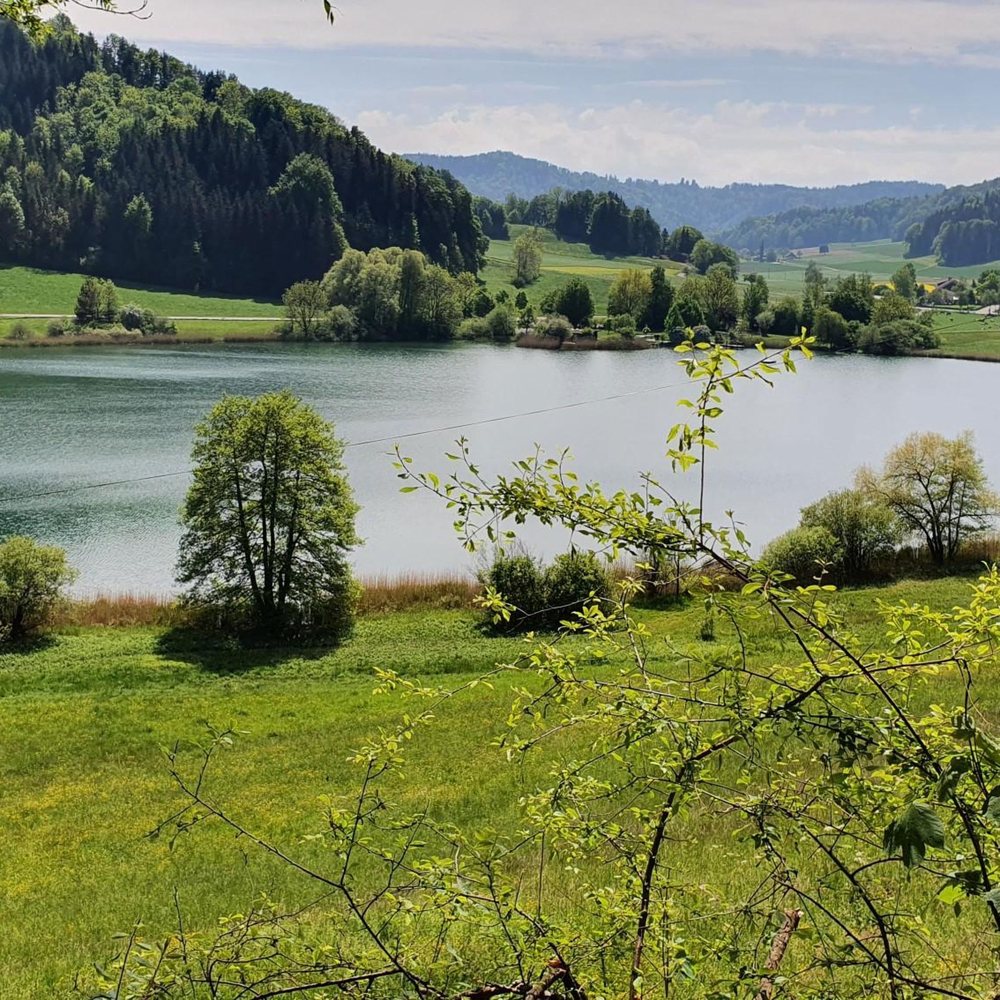
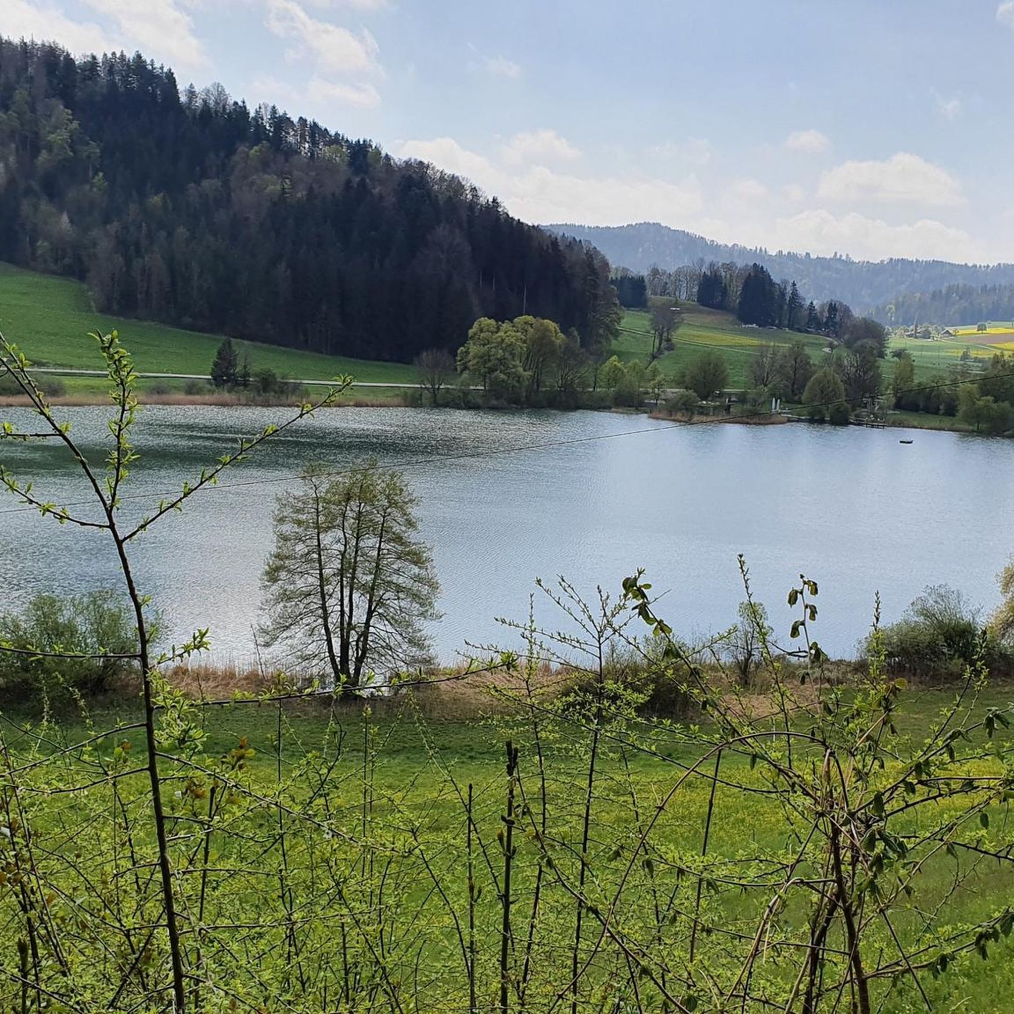
Passing west of the beautiful Bettenauer Weiher (driving is prohibited all around).
1
0

Highly recommended route
0
0

Ideal for families. Well-developed, beautiful area. Unless the Töss River isn't carrying water, in which case it's simply a fun place for children to play.
1
0

Beautiful cycle path between Bichelsee and Itaslen
0
0
Wonderful descent from Seelmatten to Turbenthal in beautiful scenery, where you can just let yourself roll and enjoy.
0
0

The Bettenauer Weiher lies in a depression between Wildberg and Uzwil, entirely within the municipality of Oberuzwil, in the Toggenburg region in the Swiss Alpine foothills. The pond's bottom consists of peat soil. The pond includes the smaller peat ponds to the east. The Bettenauer Weiher was originally a moor pond, the origin of which can ultimately be traced back to the formation of a depression between the Wildberg and Vogelsberg mountains during the Würm glaciation, when the entire Toggenburg region was covered by the Rhine glacier. The area around the Bettenauer Weiher is a fen of regional importance. It is part of an amphibian spawning area of national importance. For this reason, the pond has had an amphibian guide structure, a protected road underpass, since 1993. [Source: Wikipedia]
0
0

Great cycle path along the Töss, highly recommended, great to ride in both directions
1
0
Frequently Asked Questions
How many road cycling routes are available around Turbenthal?
Turbenthal offers a wide variety of road cycling routes, with over 230 different tours available. These routes cater to all skill levels, from easy scenic rides to more challenging ascents.
What kind of terrain can I expect on road cycling routes in Turbenthal?
The terrain around Turbenthal is quite diverse. You'll find many routes with predominantly paved surfaces, especially along the Töss River, guiding you through serene fields and forests. For those seeking more challenge, there are also routes with rewarding climbs into the hilly countryside, such as those leading towards the Hörnli Summit.
Are there road cycling routes suitable for beginners in Turbenthal?
Yes, Turbenthal is very welcoming for beginners. There are over 40 easy road cycling routes available. A great option for a gentle ride is the Töss Bridge – Bike path along the Töss loop from Turbenthal, which features well-paved surfaces along the Töss River.
What options are there for experienced road cyclists seeking a challenge?
For experienced road cyclists looking for a challenge, Turbenthal offers nearly 40 difficult routes. These often include significant ascents into the surrounding hills, providing rewarding climbs and scenic descents. Routes leading towards the Hörnli Summit, for instance, offer both a physical test and breathtaking panoramic views.
What do other cyclists say about road cycling in Turbenthal?
The road cycling routes around Turbenthal are highly rated by the komoot community, with an average score of 4.39 stars from over 740 reviews. Cyclists often praise the region's diverse landscape, the well-maintained paved surfaces, and the beautiful natural scenery along the Töss River and in the surrounding hills.
Can I find road cycling routes that pass by natural attractions or landmarks?
Absolutely. Many routes in the Turbenthal area offer opportunities to see natural attractions and historical landmarks. You can cycle past the serene Lake Bichel, or explore routes that offer distant views of the Alps from the Pfäffikersee Circular Trail. The Giessenfall Waterfall is another beautiful natural monument that can be incorporated into longer cycling excursions.
Are there family-friendly road cycling options in Turbenthal?
Yes, the region offers several family-friendly road cycling options, particularly along the Töss River. These routes are often flat, well-paved, and separated from heavy traffic, making them ideal for families. The Bike path along the Töss – Cycle path along the Töss loop from Turbenthal is an easy option that guides cyclists through fields and forests.
Are there scenic loop routes for road cycling in Turbenthal?
Yes, loop routes are a popular way to explore the area. The Lake Bichel – Drinking Water Fountain loop from Rämismühle-Zell is a great example, offering varied terrain and scenic views. Many routes are designed as loops, allowing you to start and end at the same point.
What are the best routes for a relaxed ride along the Töss River?
For a relaxed ride along the Töss River, consider routes that specifically follow the Töss-Jona Route 53. These paths are often separated from traffic and predominantly paved. The Töss Bridge – Bike path along the Töss loop from Turbenthal is an excellent choice for a smooth and enjoyable experience by the water.
Are there road cycling routes with good access to public transport in Turbenthal?
Turbenthal is well-integrated into the public transport network, making it convenient to access many road cycling routes. The Töss-Jona Route 53, a national cycling path, traverses the region and is often accessible from various train stations, allowing you to combine cycling with public transport for longer excursions or to reach specific starting points.
Are there any longer, moderate road cycling routes in the area?
Yes, for those looking for a longer ride with a moderate challenge, the Töss River Cycle Path – Bettenauer Pond loop from Rämismühle-Zell is a great option. This route covers over 70 kilometers and includes varied elevation, offering a rewarding experience for cyclists with good endurance.
Can I find routes that offer panoramic views?
Absolutely. The region is known for its scenic viewpoints. Routes that ascend into the higher elevations, particularly towards the Hörnli Summit, will reward you with breathtaking panoramic views of the Upper Töss Valley and, on clear days, even the majestic Alps. The Schauenberg Ruins also offer expansive distant views.
Most popular routes around Turbenthal
Most popular attractions around Turbenthal

Get inspired with the komoot mobile app


Explore more
Browse the best Road cycling routes in other regions.
