The best mountain hikes around Haaren
7
hikers
4
hikes
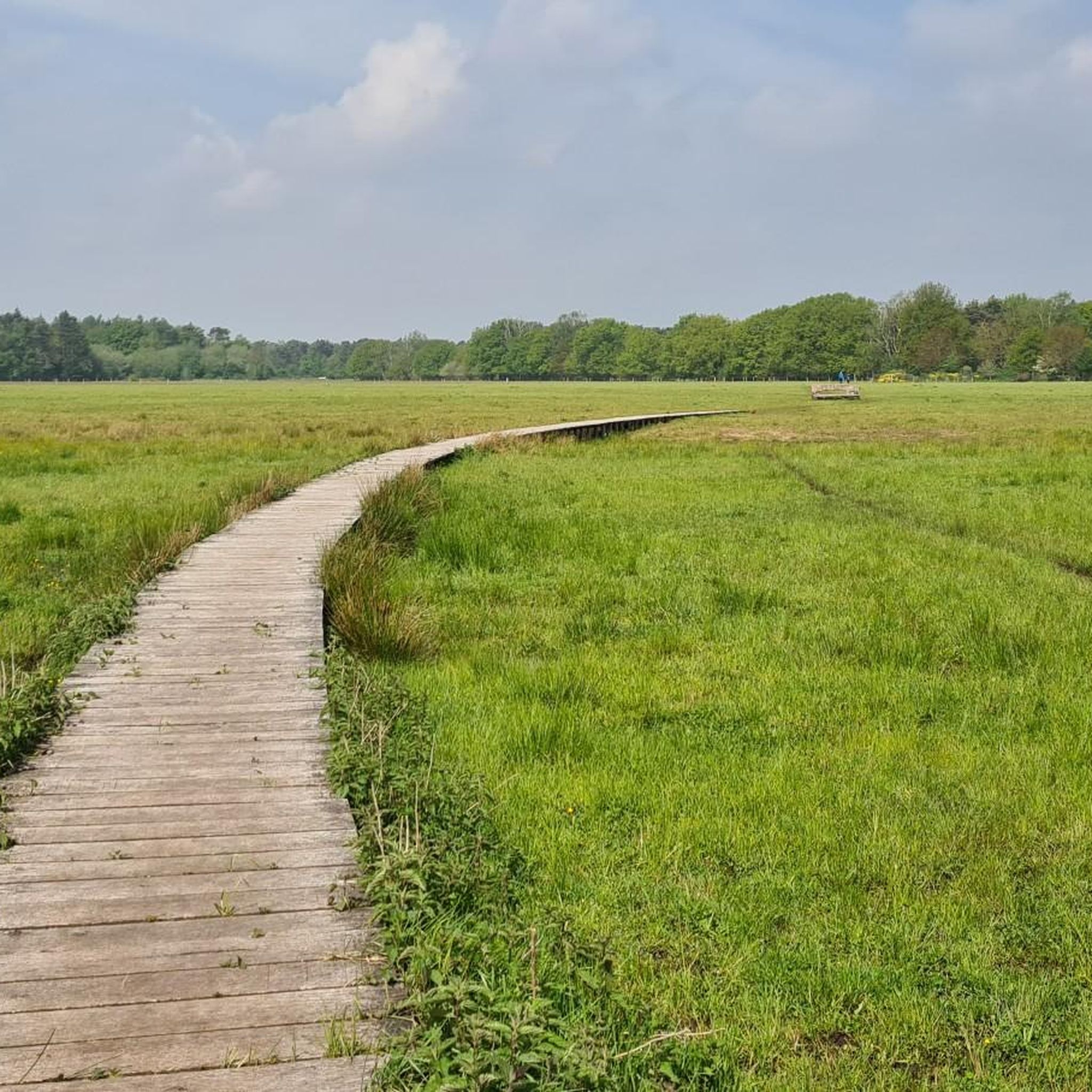
Mountaineering routes around Haaren traverse the varied landscapes of North Brabant. The region is characterized by its nature reserves, such as Kampina, and features a mix of woodlands, open fields, and water features. While not featuring high peaks, the terrain offers diverse paths suitable for challenging hikes. These routes provide opportunities to explore the natural environment of Haaren through varied trails.
Best mountaineering routes around Haaren
- The most popular mountaineering route is Balsvoort loop from Logtsebaan, a 5.2 miles…
Last updated: July 4, 2026
3
hikers
8.25km
02:05
10m
10m
Moderate mountaineering route. Good fitness required. Easily-accessible paths. Suitable for all skill levels.
3
hikers
10.4km
02:38
10m
10m
Moderate mountaineering route. Good fitness required. Easily-accessible paths. Suitable for all skill levels.

Sign up for free
1
hikers
5.03km
01:16
10m
10m
Easy mountaineering route. Great for any fitness level. Easily-accessible paths. Suitable for all skill levels.
4.82km
01:13
10m
10m
Easy mountaineering route. Great for any fitness level. Easily-accessible paths. Suitable for all skill levels.
Our route recommendations are based on thousands of hikes, rides, and runs completed by other people on komoot.
Start today with a free account
Your next adventure awaits.
Login or Signup
Popular around Haaren
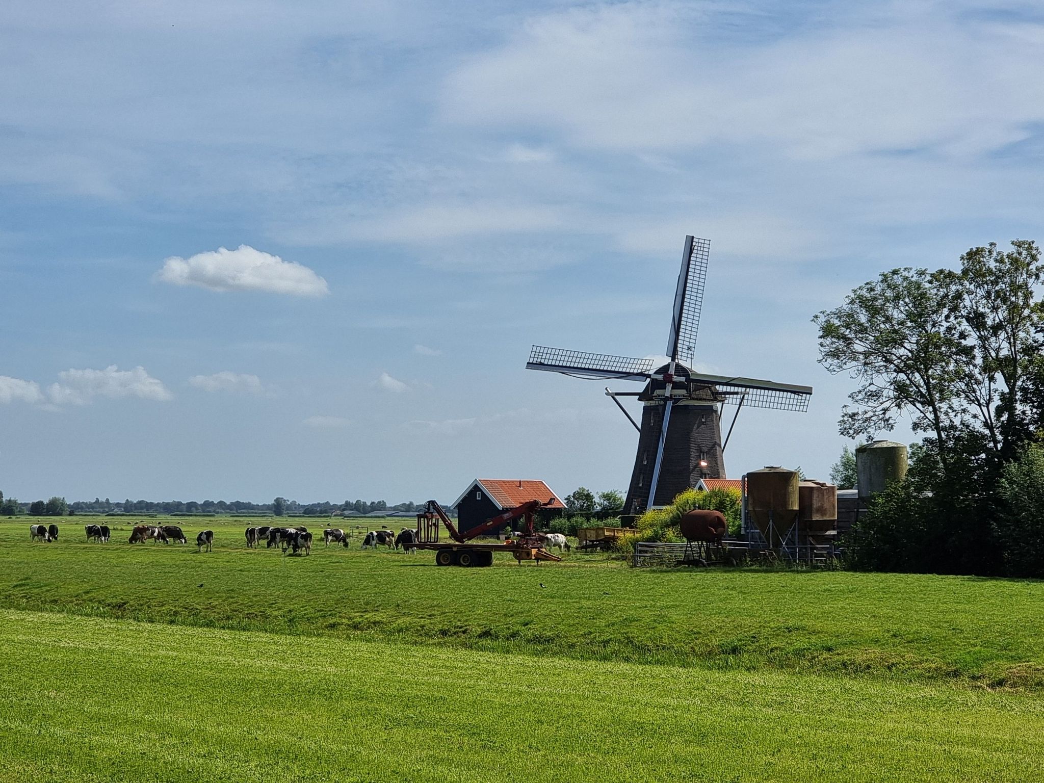
Pilgrim Trail (LAW 7-1) - Through idyllic villages and vast polders
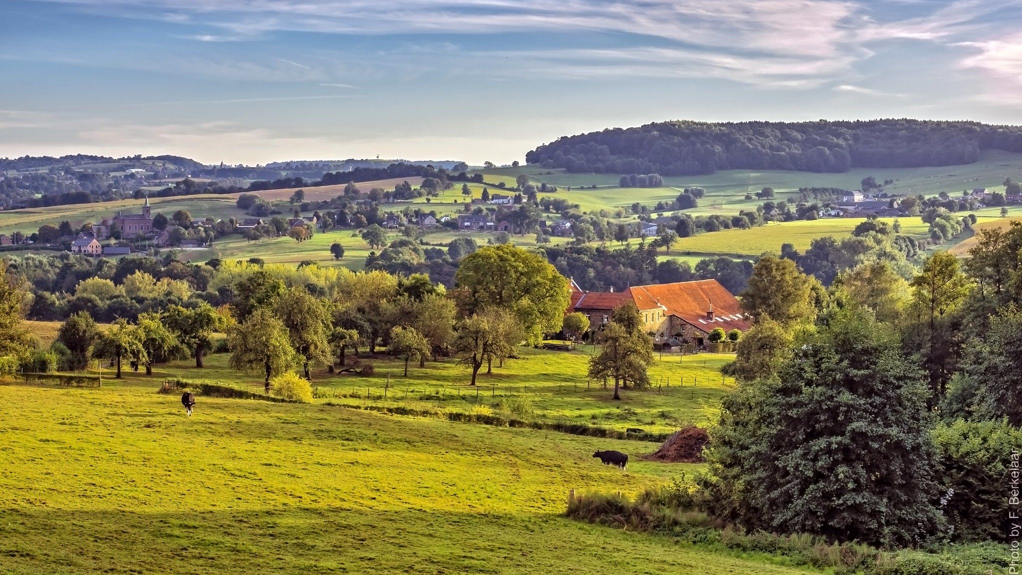
Pilgrim's Way part 2 — s-Hertogenbosch to Maastricht
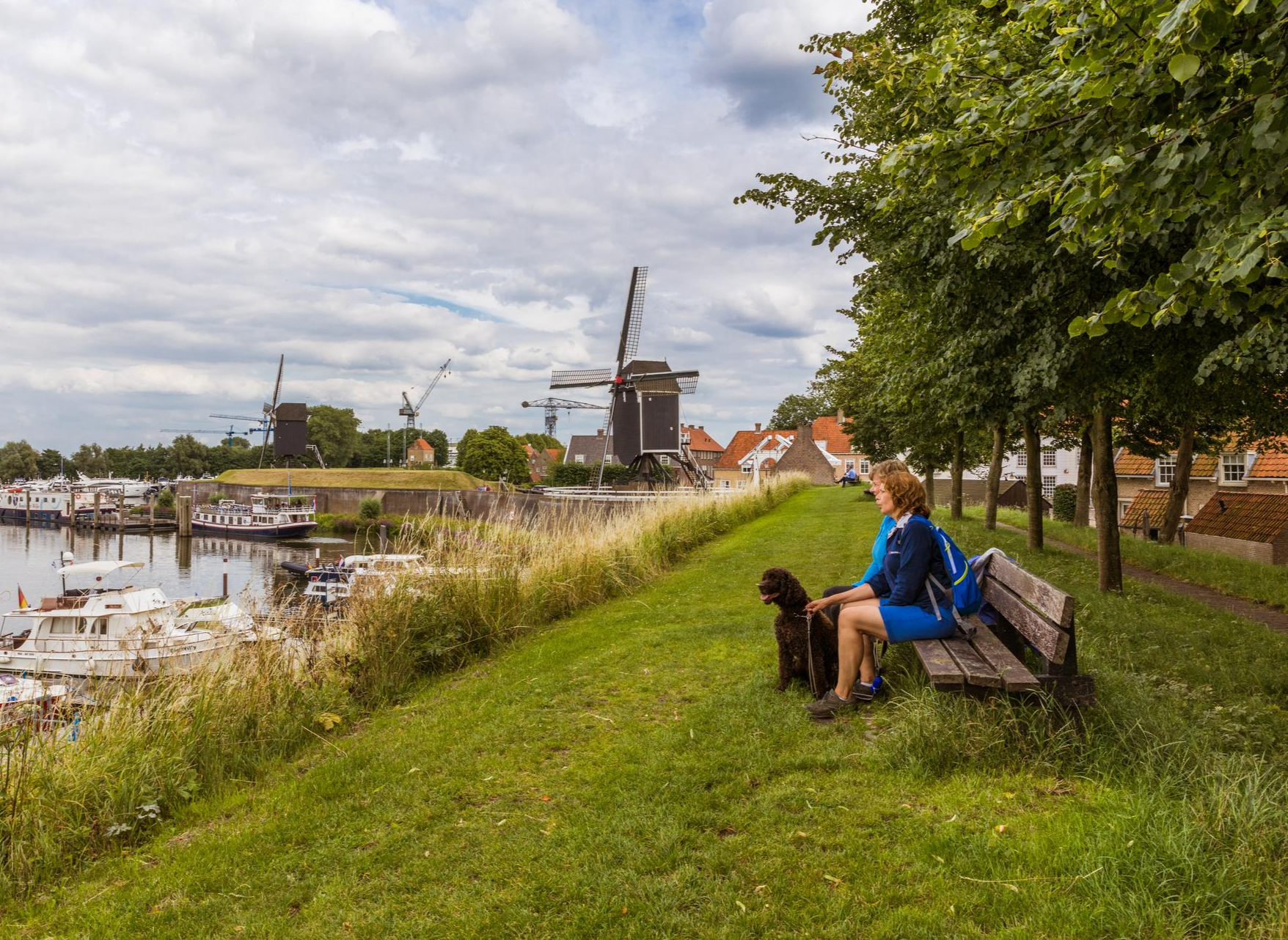
Hiking in Brabant – in Van Gogh’s footsteps in Southern Netherlands
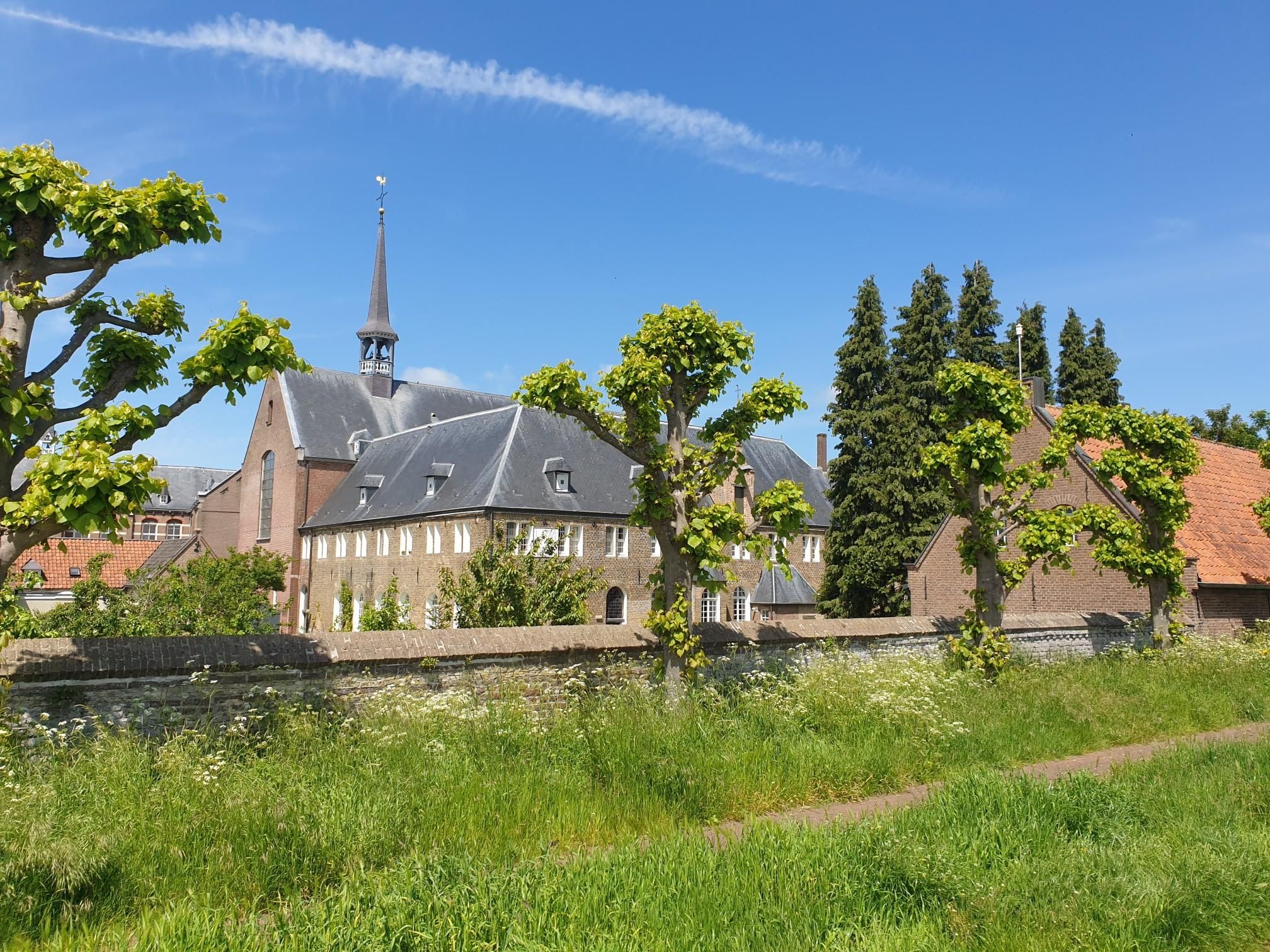
A hike full of tranquility and reflection - Our Monastery Path
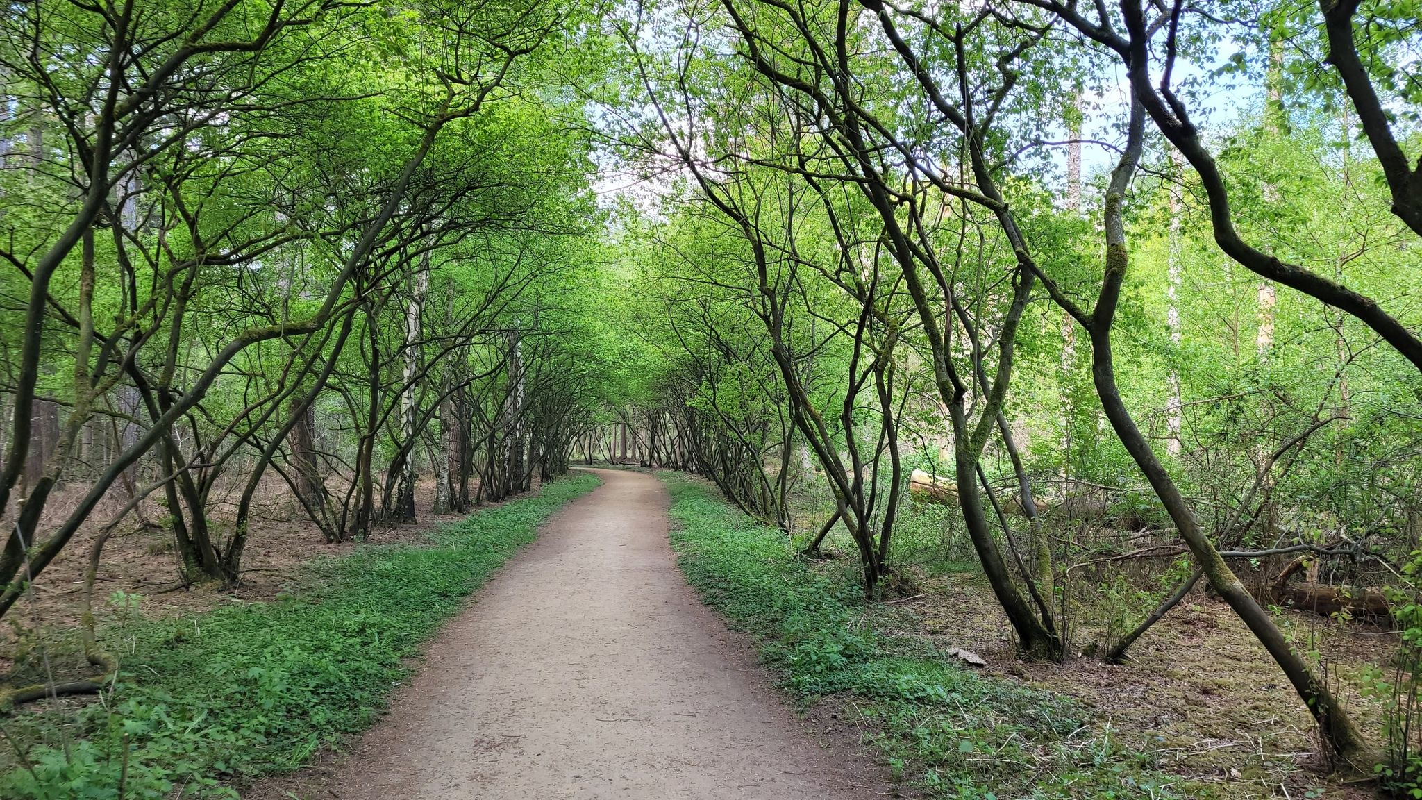
Discover North Brabant in a wheelchair — 7 Tours through the greenery
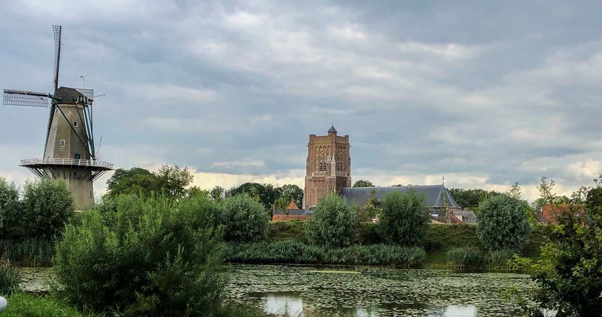
Amsterdam to 's-Hertogenbosch – Pilgrims’ Path part 1
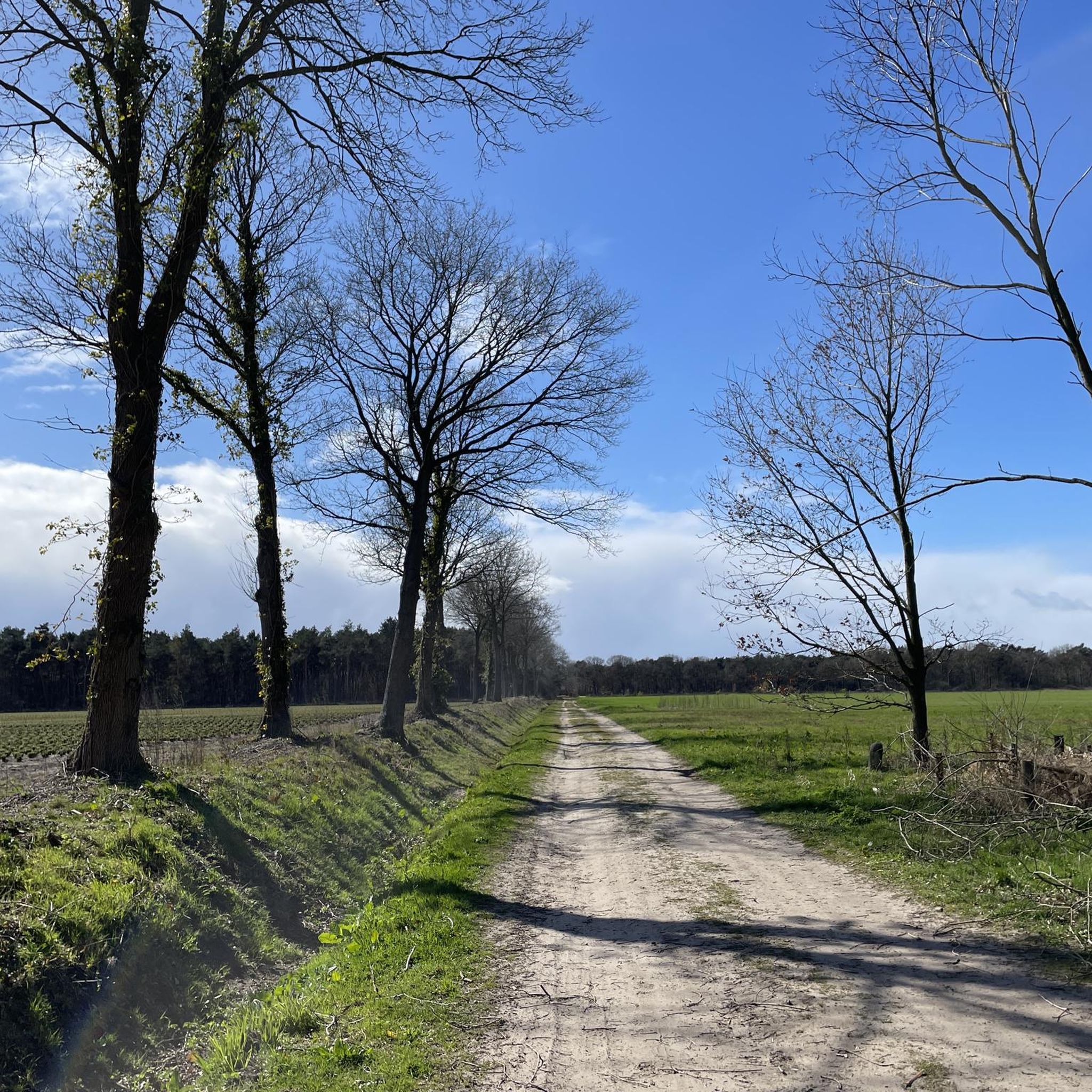
Hiking around Haaren
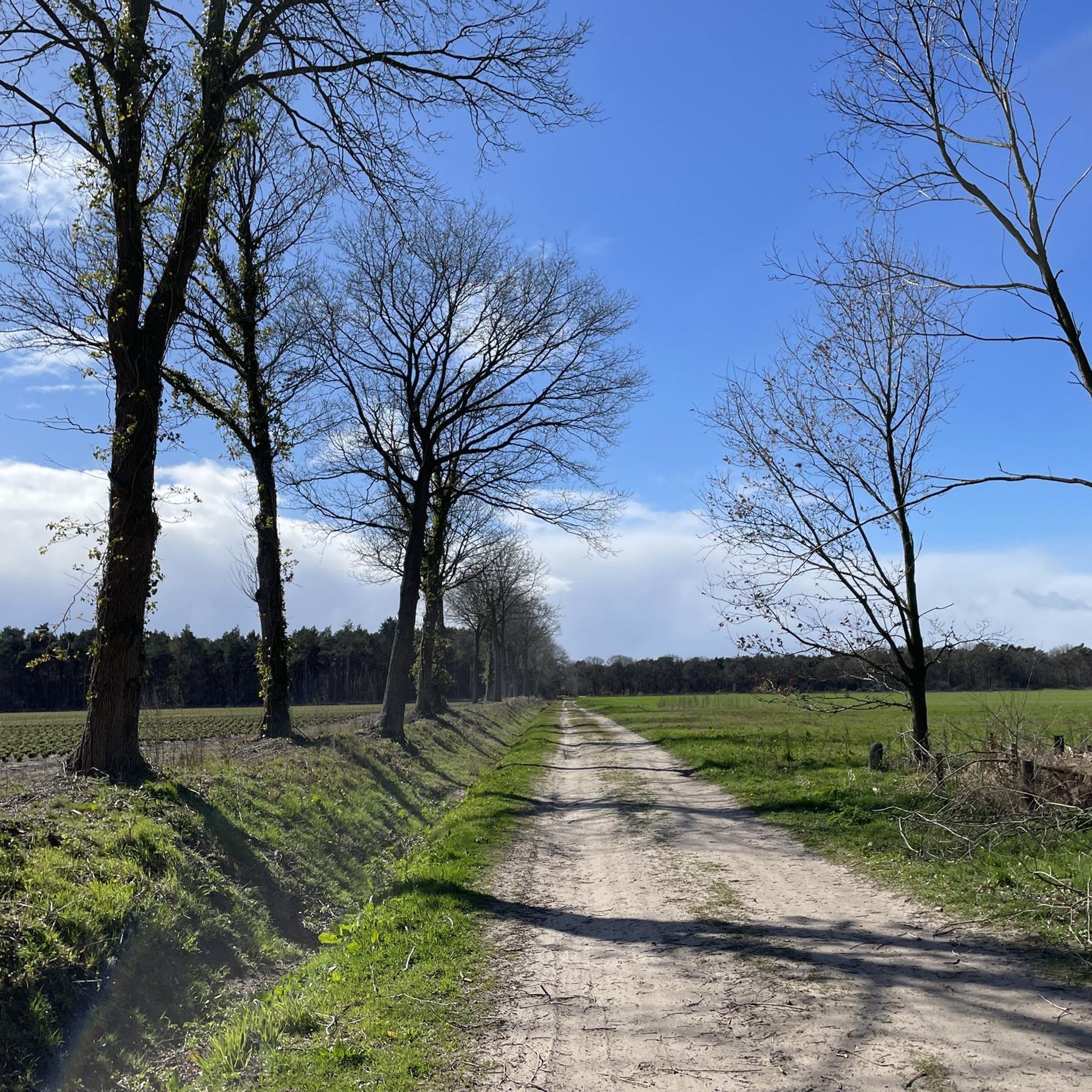
Cycling around Haaren
Road Cycling Routes around Haaren

Gravel biking around Haaren
Other adventures around Haaren


Tips from the Community

Beautiful, peaceful place. Wonderful to just enjoy the surroundings in peace and quiet!
0
0

parallel views over the nature reserve
0
0

Take a break at one of the remains of the farm in this hamlet.
2
0
wonderfully beautiful landscape with all its fens and heathland
3
0

Two benches on the dike next to the narrow cycle path offer a beautiful view of the Beerze floodplain.
1
0

Even a small hill up
3
0

A beautiful place for a nice walk.
0
0

Frequently Asked Questions
What are the typical difficulty levels for mountaineering routes around Haaren?
The mountaineering routes in Haaren are generally categorized as easy or moderate. You'll find a good balance, with two easy routes and two moderate routes available, making the area accessible for various fitness levels.
Are there any shorter, easier mountaineering routes suitable for beginners or families?
Yes, for those seeking an easier experience, the Kampina Nature Reserve – Balsvoort loop from de Logt is an excellent choice. It's an easy 3.1-mile (5.0 km) trail that takes about 1 hour 16 minutes to complete. Another easy option is the Palingven loop from Kasteel Nemerlaer, which is 3.0 miles (4.8 km) long and typically takes around 1 hour 13 minutes.
Are the mountaineering routes around Haaren typically circular?
Yes, all the featured mountaineering routes around Haaren are designed as circular loops. This means you'll end your hike at your starting point, offering convenience for parking and planning.
What can I see along the mountaineering routes in Haaren?
The routes often pass through diverse landscapes including woodlands, open fields, and water features. You might encounter natural highlights like Voorste Goorven or Palingven. The area is also known for its nature reserves, such as the Kampina Nature Reserve.
Are there any interesting historical landmarks or attractions near the mountaineering trails?
Absolutely. The region around Haaren is dotted with historical sites. For instance, the Palingven loop from Kasteel Nemerlaer starts near Nemerlaer Castle. Other notable castles in the vicinity include Heeswijk Castle and Well Castle.
What is the best time of year for mountaineering in Haaren?
Spring and autumn are generally the most pleasant seasons for mountaineering in Haaren, offering mild temperatures and beautiful scenery as nature awakens or changes color. Summer can be warm, while winter can bring colder, wetter conditions, though the trails remain accessible.
What should I wear for mountaineering in Haaren?
Given the varied terrain of woodlands, fields, and potentially damp areas, it's advisable to wear sturdy, waterproof hiking boots. Layered clothing is recommended to adapt to changing weather conditions, and a waterproof jacket is always a good idea, especially outside of summer.
Where can I find parking for mountaineering routes near Haaren?
Many routes, being circular, often start from locations with designated parking. For example, routes like the Balsvoort loop from Logtsebaan or the Kampina Nature Reserve – Balsvoort loop from de Logt imply starting points where parking facilities are typically available, often near nature reserve entrances or local roads.
Can I reach mountaineering routes in Haaren using public transport?
While some starting points might be accessible by local bus services, many of the mountaineering routes in the Haaren area are best reached by car for convenience. It's recommended to check local public transport schedules for specific starting points if you plan to use it.
Are there any cafes or places to eat near the mountaineering routes in Haaren?
The Haaren region, being a popular outdoor destination, often has cafes or restaurants in nearby villages or at the edges of nature reserves. While specific establishments aren't listed for each trail, you'll generally find options for refreshments within a short drive of most starting points.
What kind of wildlife might I encounter on the Haaren mountaineering routes?
The nature reserves and woodlands around Haaren are home to various wildlife. You might spot deer, foxes, and a wide array of bird species. Keep an eye out for smaller mammals and amphibians, especially near the water features and in the quieter sections of the trails.
Are there any longer, more challenging mountaineering routes in the Haaren area?
For those looking for a longer, moderate challenge, the Balsvoort loop from Spoordonk is a great option. This route covers 6.5 miles (10.4 km) and typically takes around 2 hours 38 minutes, offering extended sections through natural areas.
Most popular attractions around Haaren

Get inspired with the komoot mobile app


Explore more
Browse the best Mountain Hikes & Routes in other regions.
