The best walks and hikes around De Ronde Venen
4.3
(778)
4,551
hikers
150
hikes
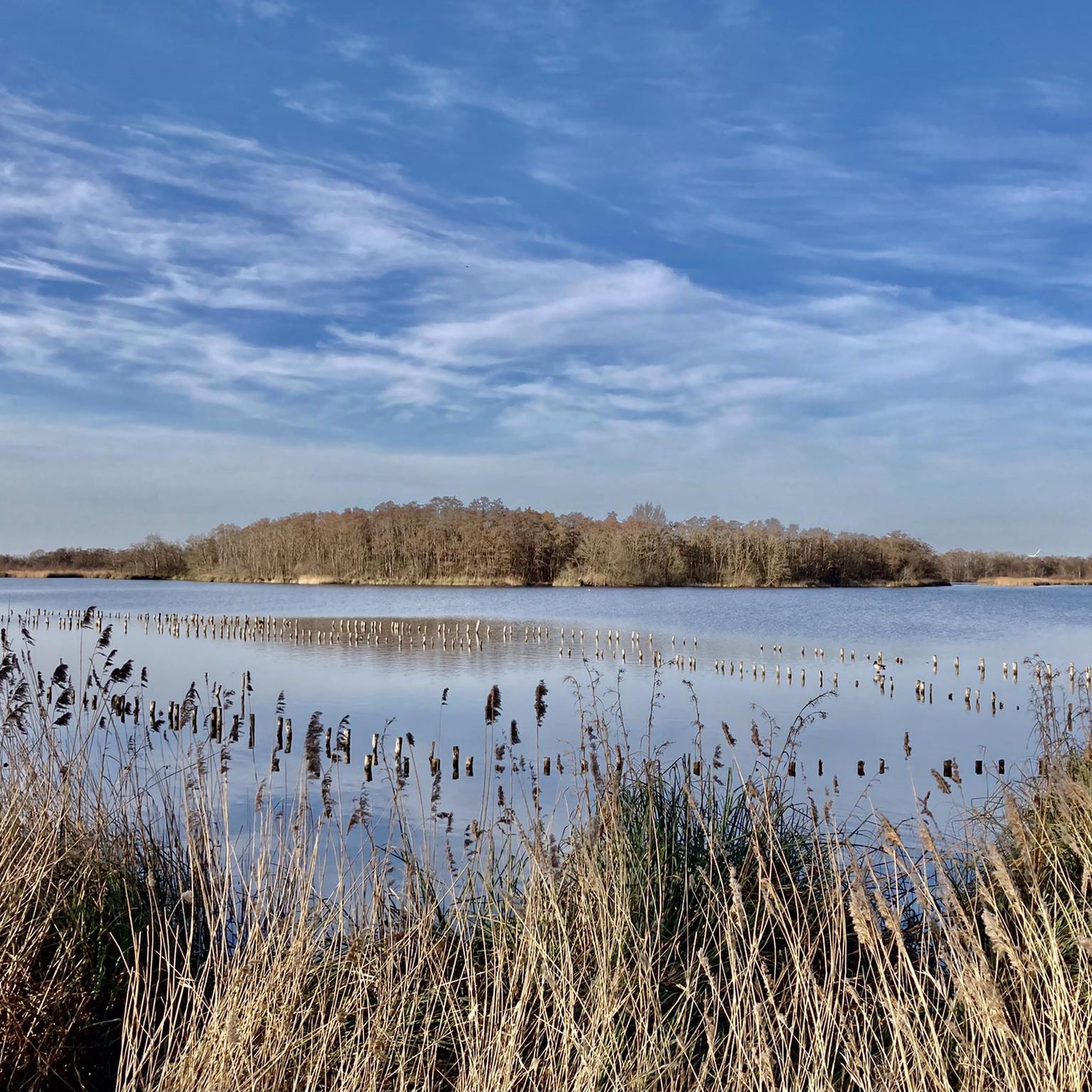
Hiking around De Ronde Venen offers access to a distinctive Dutch polder landscape, characterized by vast, flat areas of land reclaimed from water. The region features abundant waterways, serene natural reserves, and a network of trails that traverse these unique environments. Hikers will encounter open landscapes crisscrossed by canals and ditches, providing opportunities to observe local wildlife and experience the watery terrain.
Best hiking trails around De Ronde Venen
- The most popular hiking route is Botsholsedijk – Dike Path Along…
Last updated: May 11, 2026
4.6
(175)
743
hikers
Moderate hike. Good fitness required. Easily-accessible paths. Suitable for all skill levels.
4.6
(175)
771
hikers
Moderate hike. Good fitness required. Easily-accessible paths. Suitable for all skill levels.

Sign up for free
4.5
(40)
145
hikers
Easy hike. Great for any fitness level. Easily-accessible paths. Suitable for all skill levels.
4.4
(22)
78
hikers
14.2km
03:34
10m
10m
Moderate hike. Good fitness required. Easily-accessible paths. Suitable for all skill levels.
4.7
(21)
122
hikers
Easy hike. Great for any fitness level. Easily-accessible paths. Suitable for all skill levels.
Get access to more routes and recommendations from other explorers.
Sign up for free
Already have an account?
Our route recommendations are based on thousands of hikes, rides, and runs completed by other people on komoot.
Start today with a free account
Your next adventure awaits.
Login or Signup
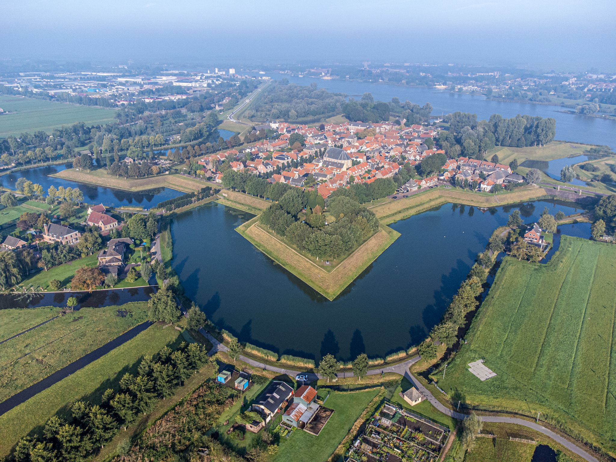
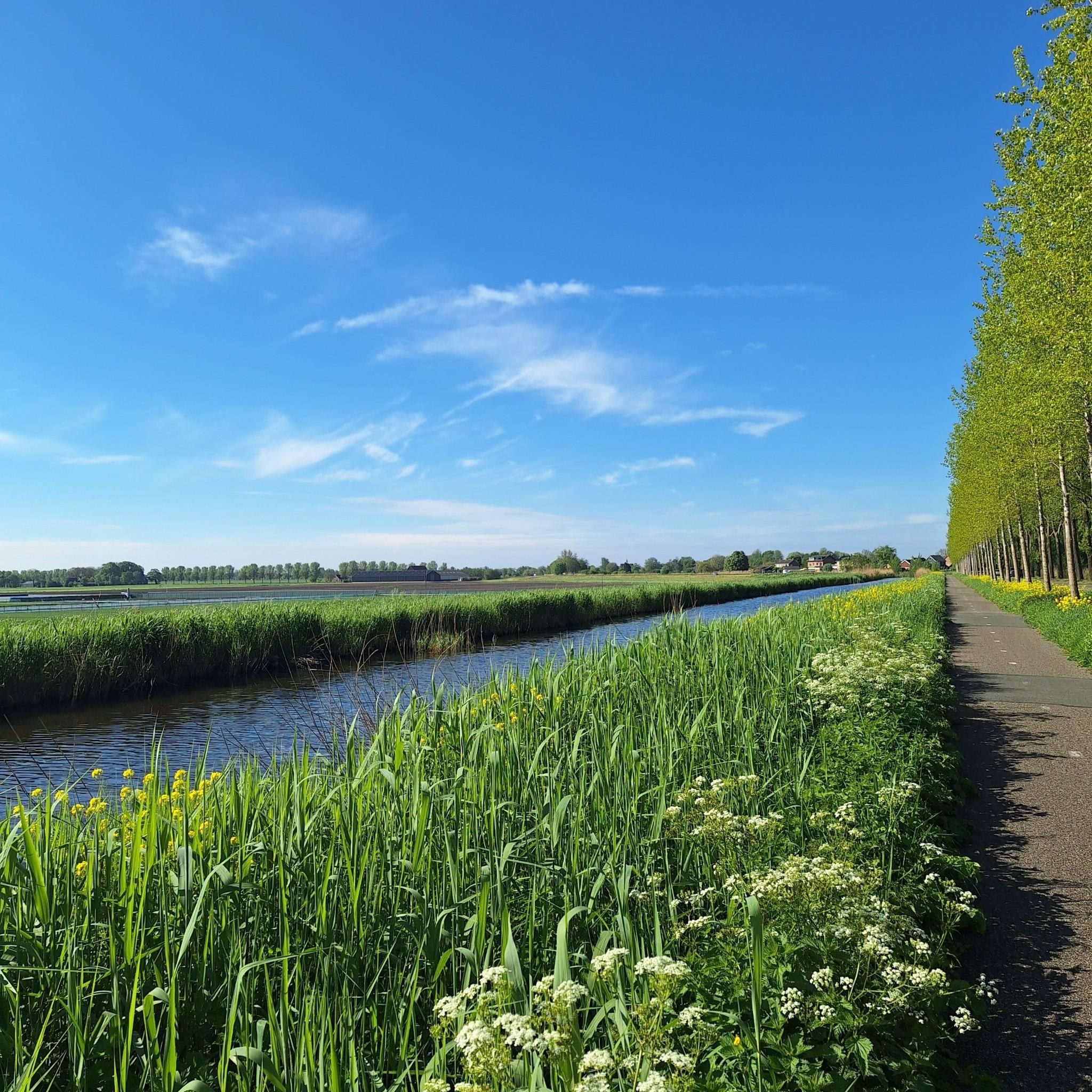
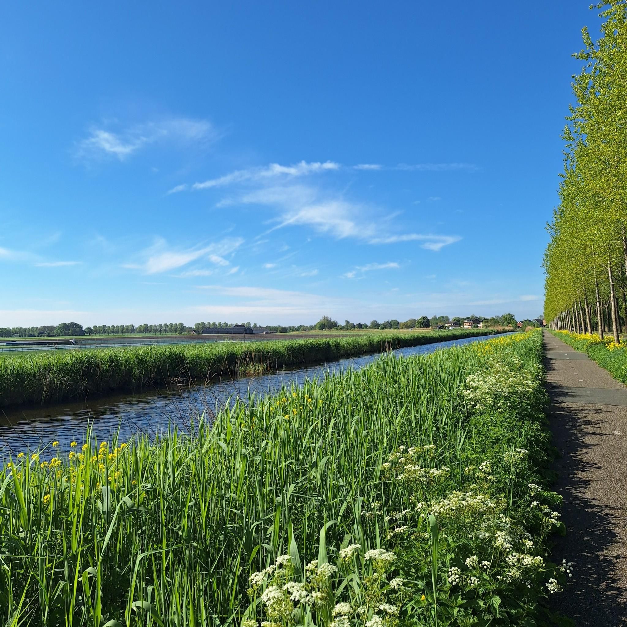
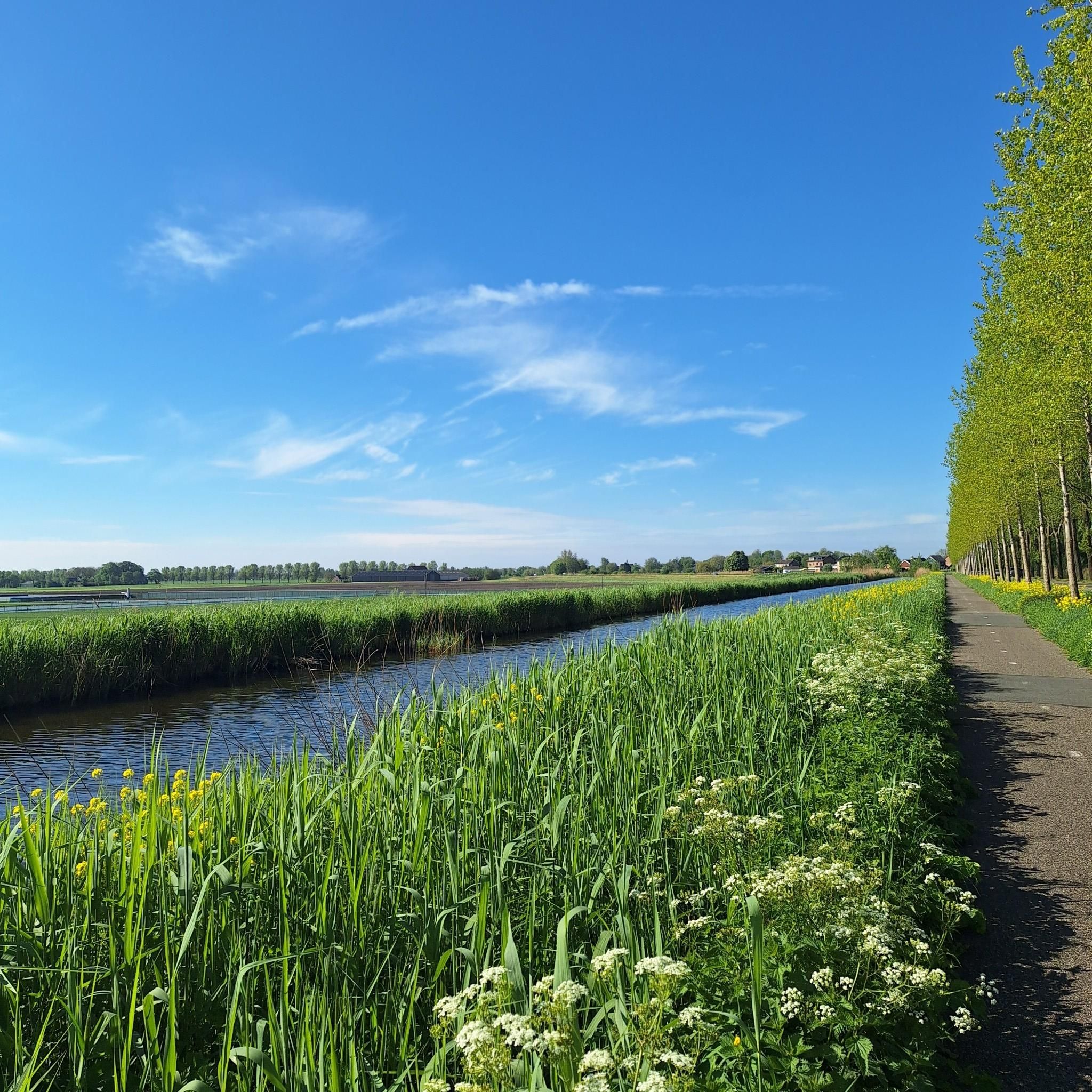
Other adventures around De Ronde Venen

Tips from the Community

Wonderfully quiet spot in the middle of the meadows, with an excellent omelet on the menu. Recommended for a lunch or a drink.
0
0

Station Vinkeveen is a former station on the south side of Vinkeveen, in the hamlet of Demmerik, on the former railway line Aalsmeer - Nieuwersluis-Loenen. The station building, a high station of the Standard Type HESM (II), was opened on December 1, 1915, and closed on September 3, 1950. The building, dating from 1913, is on the municipal monuments list of De Ronde Venen. The former station is located at Demmerik 68 in Vinkeveen and in 2020 is an event location under the name: Station Vinkeveen[1]. Museum de Ronde Venen also temporarily housed in the building in the 21st century. However, the museum was relocated.
2
0
Start at the large church and then straight through Vinkenveen and suddenly you are at a place with beautiful views over the polder and nature
0
0

From the roof there is a beautiful view over the polder and the canal.
0
0

Beautiful walking area, high vegetation in summer which reduces visibility of the area.
0
0

Please note: only accessible outside the breeding season (15 March to 15 June) and without dogs.
1
0

In summer/autumn the reeds are so high that you can't see much from the bench
0
0

Very nice stop for coffee with home-baked apple pie or cheesecake. You can also have a delicious lunch there! All kinds of seating areas around the pavilion, indoors too. They are open when the flag is flying on the tower
0
0
Frequently Asked Questions
How many hiking trails are available in De Ronde Venen, and what are their difficulty levels?
De Ronde Venen offers a wide selection of over 150 hiking trails. You'll find options for all skill levels, including more than 90 easy routes, around 55 moderate paths, and a few more challenging trails for experienced hikers.
What kind of landscape and natural features can I expect to see while hiking in De Ronde Venen?
The region is defined by its distinctive Dutch polder landscape, characterized by vast, flat areas of land reclaimed from water, crisscrossed by canals and ditches. You'll encounter abundant waterways, serene natural reserves like the Vinkeveense Plassen and Nieuwkoopse Plassen, and unique areas such as Botshol where the ground can 'sway' underfoot. These environments offer excellent opportunities for observing local wildlife, especially various bird species.
Are there circular hiking routes in De Ronde Venen?
Yes, many of the trails in De Ronde Venen are designed as circular routes, allowing you to start and end at the same point. For example, the Botsholsedijk – Dike Path Along De Winkel loop from De Ronde Venen is a popular circular option that takes you along dike paths through the polder landscape.
What are some interesting landmarks or attractions I can see near the hiking trails?
While hiking, you can explore various points of interest. Consider visiting the Breukelen Drawbridge or enjoying the View of Nijenrode Castle. The region also features historical sites like the Batteries at the Gein and natural monuments such as the Groene Jonker Nature Reserve.
Are there family-friendly hiking options in De Ronde Venen?
Absolutely. With over 90 easy routes, De Ronde Venen offers many suitable paths for families. These trails often feature flat terrain and scenic views of the waterways and polder, making them enjoyable for all ages. An example of an easy route is the Exit from Portengen – Doodjersluis Pumping Station loop from Gagel, which is about 4.6 miles long.
Can I bring my dog on the hiking trails in De Ronde Venen?
Many trails in De Ronde Venen are dog-friendly, allowing you to enjoy the polder landscape with your canine companion. However, it's always advisable to check local signage for specific restrictions, especially in nature reserves, and to keep your dog on a leash where required to protect wildlife.
What do other hikers say about the trails in De Ronde Venen?
The hiking trails in De Ronde Venen are highly regarded by the komoot community, boasting an average rating of 4.3 stars from over 700 reviews. Hikers frequently praise the serene watery landscapes, the well-maintained paths, and the opportunities for nature observation, particularly birdwatching in areas like the Vinkeveense Plassen.
Is it possible to reach the hiking trails by public transport?
While some trailheads might be accessible by local bus services, public transport options can be limited in certain rural parts of De Ronde Venen. It's recommended to check local bus schedules and routes in advance, especially when planning to access trails further from town centers.
Are there good parking facilities near the trailheads?
Parking availability varies by trailhead. In more popular areas or near villages, you can often find designated parking spots. For specific routes, it's a good idea to check the route details on komoot, as users often share information about parking options in their tour descriptions or comments.
When is the best time of year to go hiking in De Ronde Venen?
The polder landscape of De Ronde Venen is beautiful year-round. Spring offers blooming nature and active wildlife, while summer provides longer daylight hours for extended hikes. Autumn brings vibrant colors to the surrounding foliage. Even in winter, the serene, often frosty landscapes can be very appealing, though some paths might be wet or muddy.
Are there any longer, more challenging routes for experienced hikers?
Yes, while many routes are easy to moderate, there are longer options for those seeking a greater challenge. For instance, the Fort in the Botshol – Oude Waver loop from Botshol is a moderate 10.6-mile (17.1 km) hike that offers an extended experience through the unique polder and nature areas.
Are there cafes or places to eat near the hiking trails?
You'll find cafes and restaurants in the villages and towns within De Ronde Venen, such as Vinkeveen, Wilnis, and Mijdrecht. Some trails might pass directly by establishments, especially those along waterways or popular recreational areas. It's a good idea to plan your route and check for amenities along the way if you intend to stop for refreshments.
Most popular routes around De Ronde Venen
Most popular attractions around De Ronde Venen

Get inspired with the komoot mobile app


Explore more
Browse the best Hikes in other regions.
