The best mountain hikes around Liebenburg
4.0
(15)
43
hikers
5
hikes
Mountaineering routes around Liebenburg are characterized by the hilly terrain of the northern Harz foothills, situated within the Salzgitter Hills of the Innerste Uplands. The landscape features rolling hills and extensive forests, with elevations reaching approximately 210 meters at Burgberg. While not involving technical climbing, the area offers challenging hikes and vigorous walks through its diverse natural environment.
Best mountaineering routes around Liebenburg
- The most popular mountaineering route is Großer Treppenstein – Kästeklippe loop from Waldhaus, a 6.6 miles…
Last updated: August 16, 2026
4.8
(11)
31
hikers
10.6km
03:34
390m
390m
Hard mountaineering route. Good fitness required. Sure-footedness, sturdy shoes and alpine experience required.
1.0
(1)
1
hikers
14.4km
04:26
470m
470m
Hard mountaineering route. Good fitness required. Sure-footedness, sturdy shoes and alpine experience required.

Sign up for free
5
hikers
Moderate mountaineering route. Good fitness required. Easily-accessible paths. Suitable for all skill levels.
5.0
(1)
2
hikers
13.1km
04:19
520m
520m
Hard mountaineering route. Good fitness required. Sure-footedness, sturdy shoes and alpine experience required.
2
hikers
Easy mountaineering route. Great for any fitness level. Easily-accessible paths. Suitable for all skill levels.
Our route recommendations are based on thousands of hikes, rides, and runs completed by other people on komoot.
Start today with a free account
Your next adventure awaits.
Login or Signup
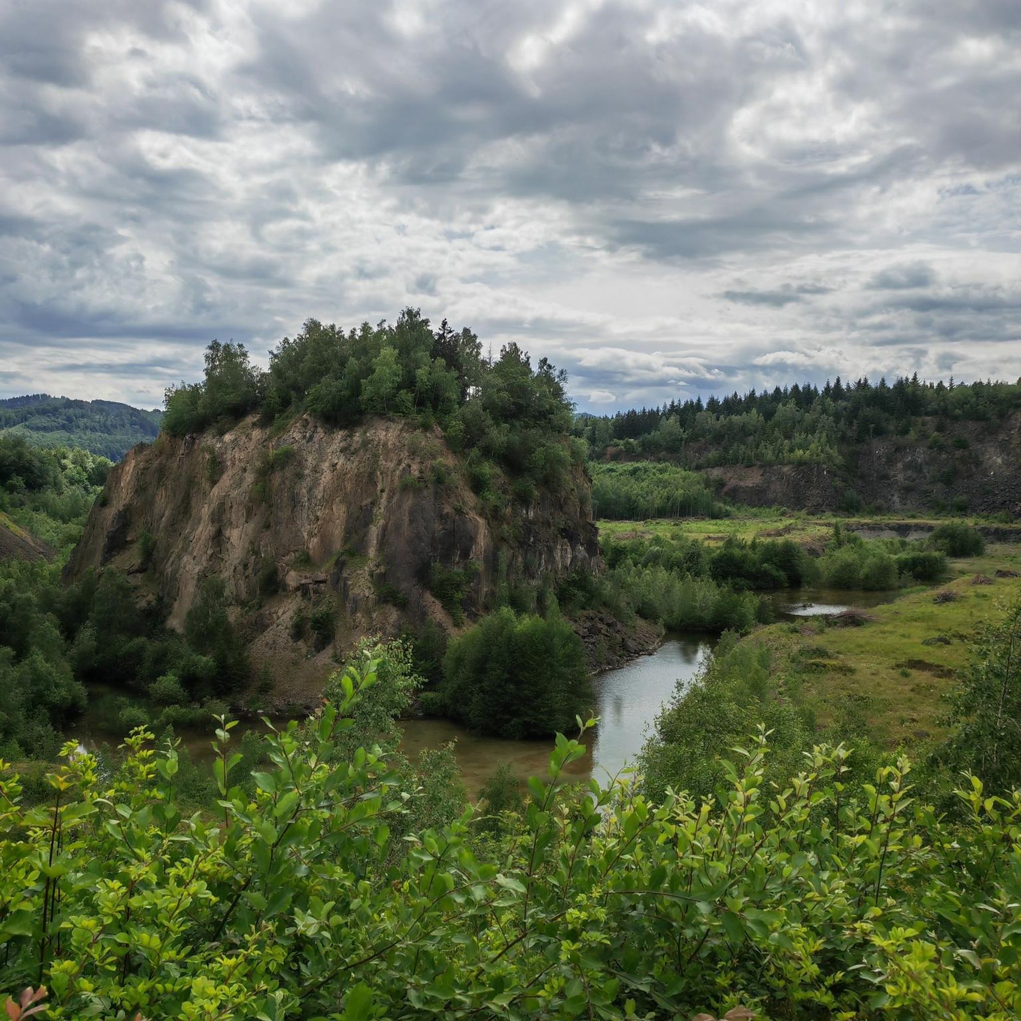
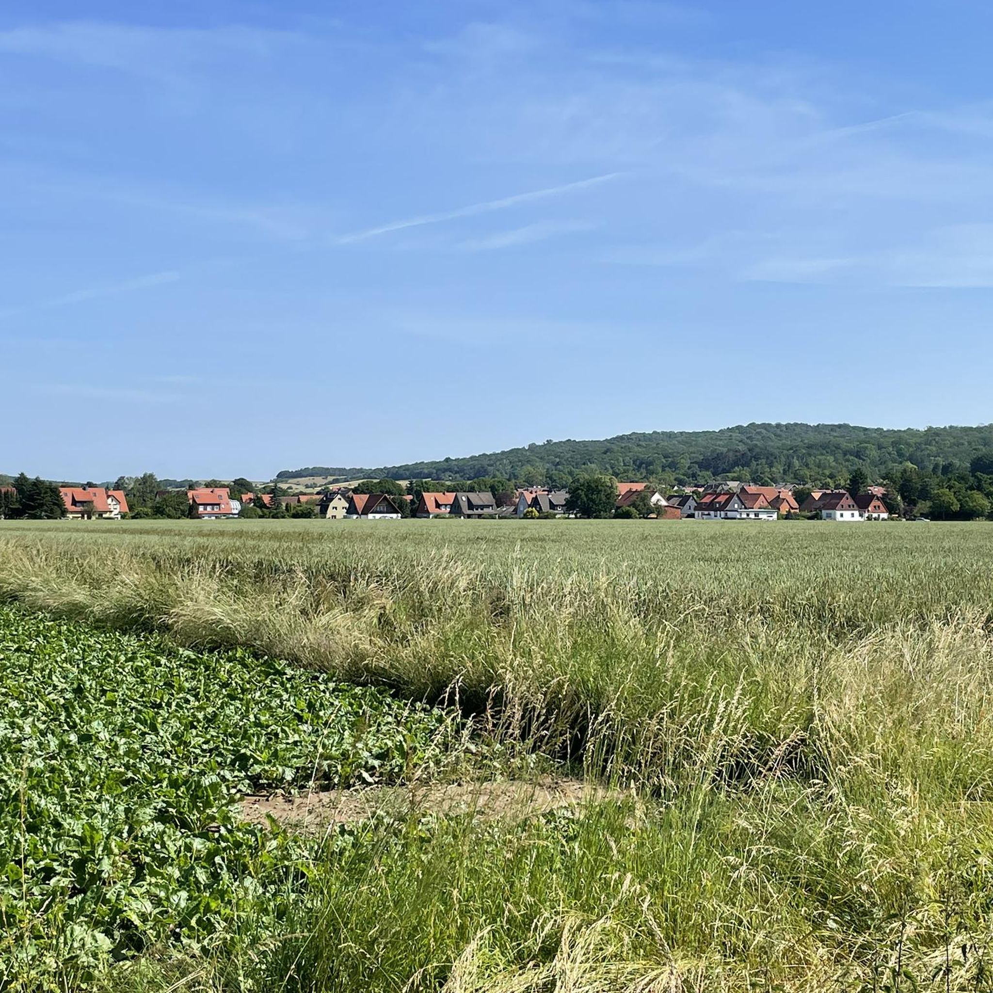
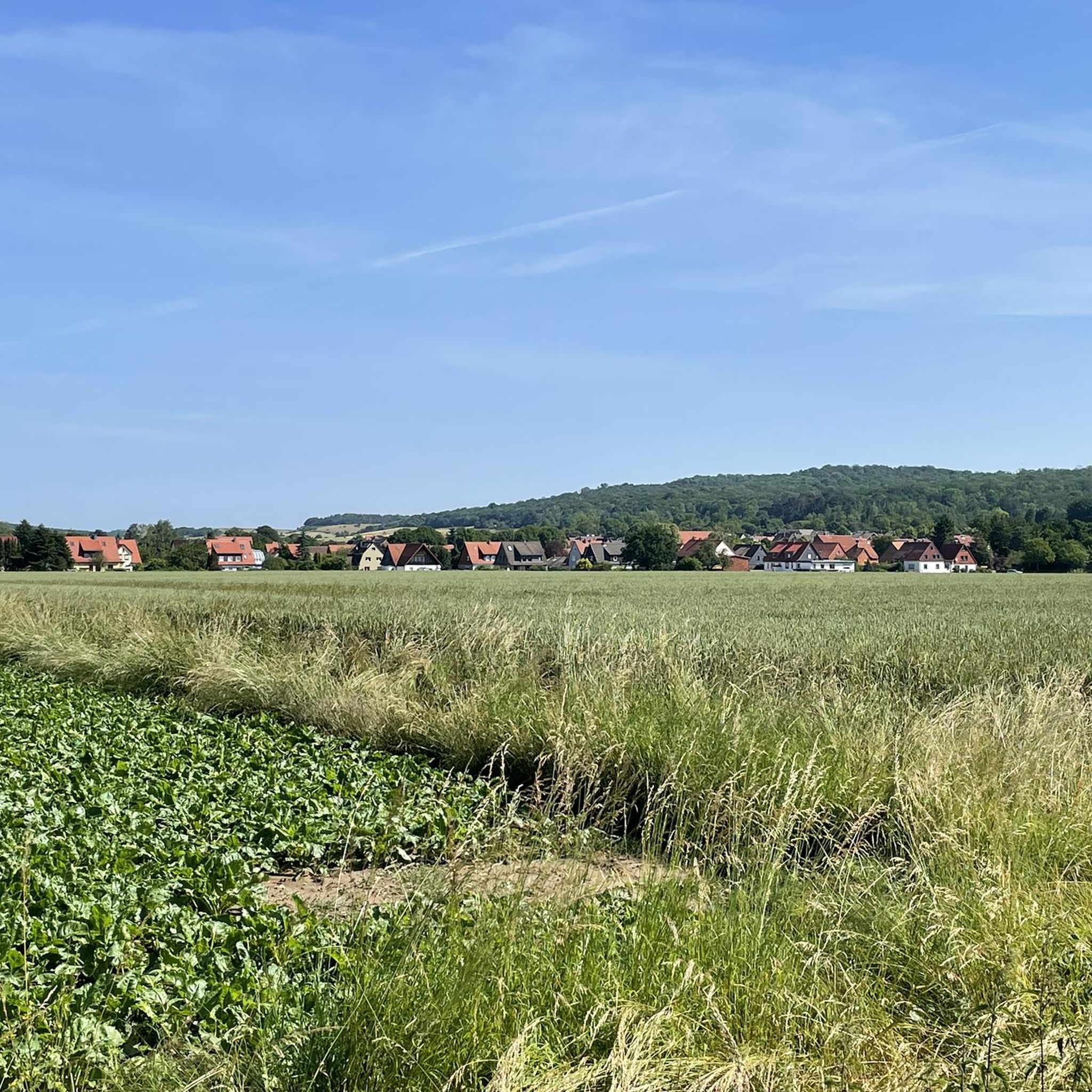
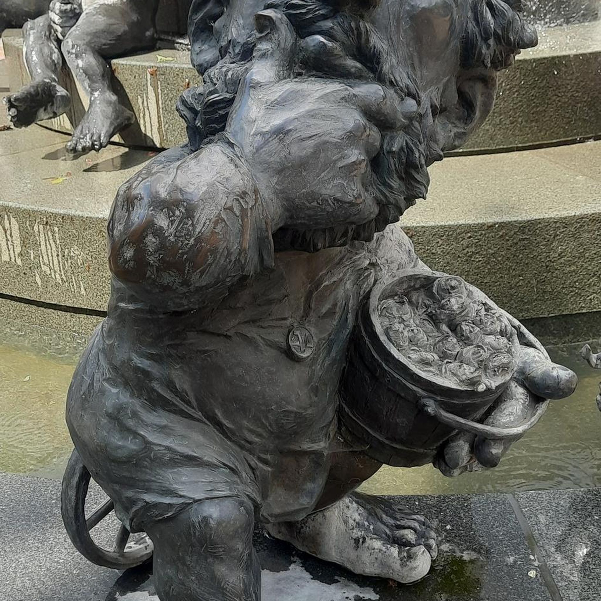
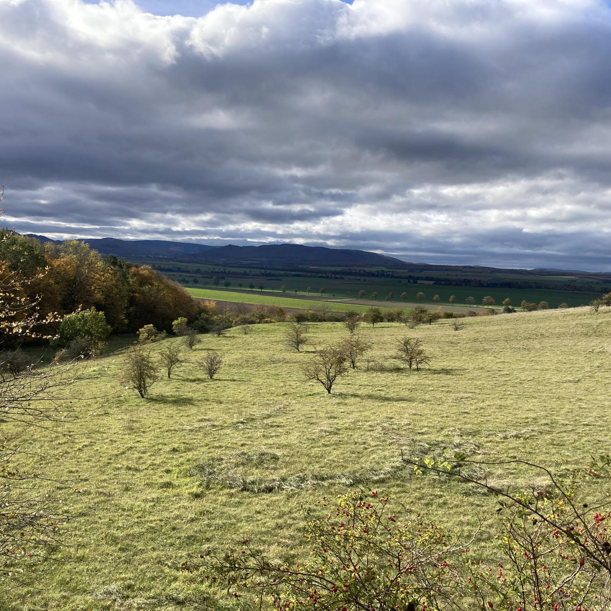
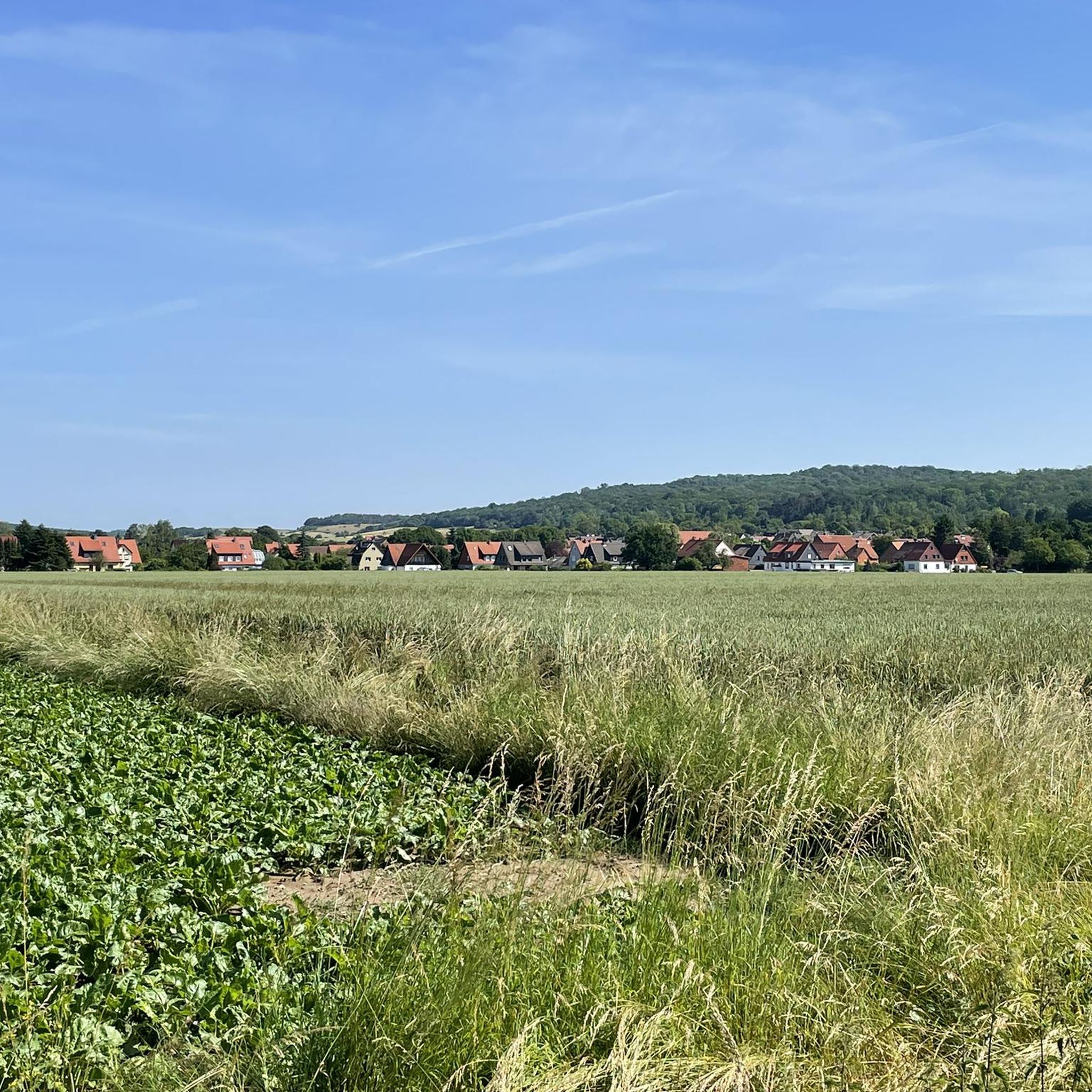
Tips from the Community

Great resting spot. In front there are two benches.
0
0


Good for a break at this point
0
0

Beautiful seating area with a view of the quarry
0
0

a very nice corner
0
1


a special place to linger
0
0

Always good for a rest.
1
0
Frequently Asked Questions
What kind of terrain can I expect on mountaineering routes around Liebenburg?
The mountaineering routes around Liebenburg are characterized by the hilly terrain of the northern Harz foothills, specifically within the Salzgitter Hills of the Innerste Uplands. You'll encounter rolling hills and extensive forests, with elevations reaching around 210 meters at Burgberg. While not involving technical climbing, the area offers challenging hikes and vigorous walks through its diverse natural environment.
How many mountaineering routes are available in the Liebenburg area?
There are 6 distinct mountaineering routes available around Liebenburg, offering a variety of experiences. These range from moderate paths suitable for a relaxed outing to more difficult ascents for those seeking a greater challenge.
Are there any circular mountaineering routes in Liebenburg?
Yes, many of the routes in Liebenburg are designed as circular tours, allowing you to start and end at the same point. For example, the Großer Treppenstein – Kästeklippe loop from Waldhaus is a challenging 10.6 km circular route, and the Grane Reservoir – Grane Reservoir loop from World Heritage Site Rammelsberg offers a moderate 14.4 km circuit through varied landscapes.
What are some of the more challenging mountaineering routes in the region?
For those seeking a more demanding experience, routes like the Kästeklippe – Hexenküche Rock Formation loop from Oker, an 8.9-mile (14.4 km) path, explore prominent rock formations and offer expansive views. Another difficult option is the View of Bad Harzburg – Ramseck Viewpoint (HWN 114) loop from Goslar, which covers 13.1 km with significant elevation changes.
Are there any easier or moderate mountaineering options for beginners or a more relaxed outing?
Absolutely. If you're looking for a less strenuous experience, the Mandolin Trail – Innerste Dam loop from Innerstetalsperre is a moderate 3 km route, perfect for a shorter, more relaxed walk. The Grane Reservoir – Grane Reservoir loop from World Heritage Site Rammelsberg is also a moderate option, offering a longer distance with manageable ascents.
What kind of historical or natural landmarks can I see near the mountaineering routes?
The Liebenburg area is rich in both natural beauty and historical significance. You can explore the scenic Harz foothills and forests. For historical landmarks, consider visiting the Kaiserpfalz Werla Archaeological Park or the Imperial Palace of Goslar (Kaiserpfalz Goslar). The Liebenburg Castle itself, situated on the prominent Burgberg, offers unique views from the Hausmannsturm.
What is the best time of year to go mountaineering in Liebenburg?
Spring and autumn are generally considered ideal seasons for hiking and mountaineering in Liebenburg. The mild weather conditions and beautiful scenery, especially with the changing foliage in autumn, make for a very pleasant experience. While routes are accessible year-round, these seasons offer the most comfortable conditions.
What do other mountaineers say about the routes in Liebenburg?
The mountaineering routes in Liebenburg are highly regarded by the komoot community, with an average rating of 3.6 stars from over 13 reviews. Many users appreciate the diverse terrain, from rolling hills and extensive forests to reservoir landscapes, and the variety of options available for different ability levels.
Are the mountaineering routes in Liebenburg suitable for families?
While the term 'mountaineering' suggests more challenging terrain, Liebenburg offers routes suitable for various fitness levels. Families can enjoy the moderate trails, such as the Mandolin Trail – Innerste Dam loop from Innerstetalsperre, which provides a shorter and less strenuous option through scenic landscapes.
Are dogs allowed on the mountaineering trails in Liebenburg?
Generally, dogs are welcome on hiking and mountaineering trails in the Liebenburg region, especially through the extensive forests and hilly landscapes. However, it's always advisable to keep them on a leash, particularly in nature reserves or areas with wildlife, and to respect local signage regarding pet regulations.
Is there parking available near the trailheads for mountaineering routes?
Parking is typically available near the starting points of many popular hiking and mountaineering routes in the Liebenburg area. Specific parking information can often be found on individual route descriptions or local tourism websites, but generally, you'll find designated spots near trailheads or in nearby villages.
Can I access the mountaineering routes in Liebenburg using public transport?
While some routes might be accessible via public transport connections to nearby towns or villages, direct access to all trailheads can be limited. It's recommended to check local bus schedules and connections to the specific starting points of your chosen mountaineering route. The region is well-connected for general travel, but specific trailhead access varies.
Most popular routes around Liebenburg
Most popular attractions around Liebenburg

Get inspired with the komoot mobile app


Explore more
Browse the best Mountain Hikes & Routes in other regions.
