The best road cycling routes around Palgrave
4.4
(57)
1,344
riders
305
rides
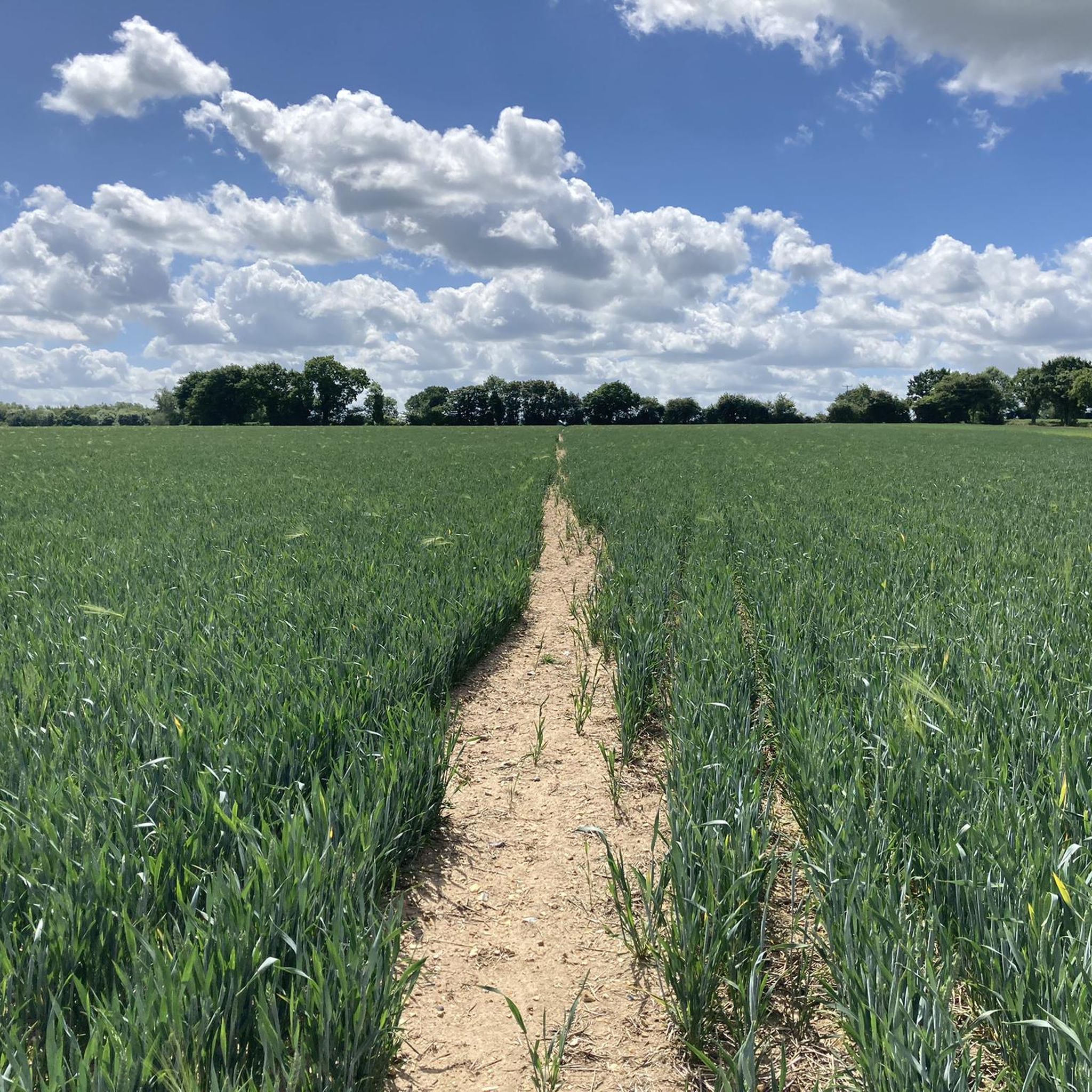
Road cycling routes around Palgrave are situated in a region characterized by gently rolling terrain and agricultural landscapes. The area offers a network of roads that connect small towns and villages, providing varied cycling experiences. Elevation changes are generally moderate, making the routes accessible for different skill levels. The landscape primarily consists of open fields, scattered woodlands, and river valleys.
Best road cycling routes around Palgrave
- The most popular road cycling route is Diss to Eye loop, a 47.3…
Last updated: May 11, 2026
3
riders
76.2km
03:24
330m
330m
Moderate road ride. Good fitness required. Mostly well-paved surfaces and easy to ride.
4.0
(2)
30
riders
77.8km
03:36
360m
360m
Moderate road ride. Good fitness required. Mostly well-paved surfaces and easy to ride.

Sign up for free
38
riders
89.5km
03:45
420m
420m
Moderate road ride. Good fitness required. Some segments of this route may be unpaved and difficult to ride.
28
riders
42.8km
01:55
180m
180m
Easy road ride. Great for any fitness level. Mostly well-paved surfaces and easy to ride.
14
riders
47.4km
02:10
160m
150m
Moderate road ride. Good fitness required. Mostly well-paved surfaces and easy to ride.
Get access to more routes and recommendations from other explorers.
Sign up for free
Already have an account?
Our route recommendations are based on thousands of hikes, rides, and runs completed by other people on komoot.
Start today with a free account
Your next adventure awaits.
Login or Signup

Tips from the Community

Note that the cafe is cash only though! Took a detour to get here, then couldn't buy anything :(
0
0


Excellent Sausage Rolls. Always worth a stop when passing.
0
0

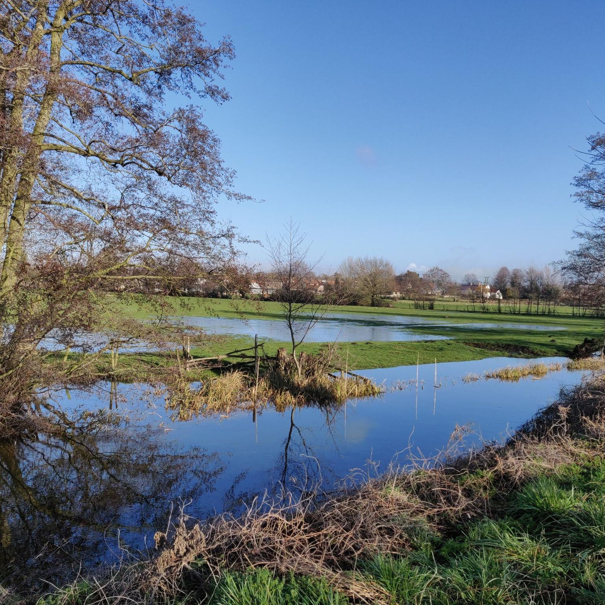
The road skirts just above the eastern edge of the Mendham Marshes but it's a bit of a stretch to say it's like Holland - this isn't the Fens or even the Broads. Any view is mostly limited by hedgerows and houses.
0
0
A hidden cycle-friendly venue! Fronts directly on to the high street but there is space for bikes at the back. Open 10am-4.30pm Mon-Sat.
0
0
The more scenic alternative to the modern road bridge on the adjacent B1062. A popular swim and picnic spot in the summer.
0
0

Very cyclist friendly with excellent food and drink.
0
0
Frequently Asked Questions
How many road cycling routes are available around Palgrave?
There are over 300 road cycling routes around Palgrave, offering a wide range of options for different skill levels. This includes 158 easy routes, 155 moderate routes, and a few more challenging options.
What kind of terrain can I expect when road cycling near Palgrave?
Road cycling around Palgrave is characterized by gently rolling terrain and agricultural landscapes. The routes primarily consist of quiet country roads, open fields, scattered woodlands, and river valleys, with generally moderate elevation changes.
Are there any historical landmarks or interesting sights along the road cycling routes?
Yes, several routes pass by historical landmarks. For instance, the Homersfield Bridge – Eye Castle loop from Diss features a mix of quiet country roads and passes historical landmarks like Eye Castle. Another route, the Gissing Round Tower Church – Venta Icenorum Roman Town loop from Diss, leads through rural villages and historical sites, including the St. Mary's Church, Gislingham.
What do other cyclists say about road cycling in Palgrave?
The road cycling routes in Palgrave are highly rated by the komoot community, with an average score of 4.4 stars from over 50 reviews. Cyclists often praise the quiet country roads, the scenic agricultural fields, and the charm of the historical village centers.
Are there any longer road cycling routes for experienced riders?
Yes, for those looking for longer distances, routes like the Gissing Round Tower Church – Venta Icenorum Roman Town loop from Diss cover approximately 55.6 miles (89.5 km) and involve around 415 meters of elevation gain, offering a substantial ride.
Can I find moderate-difficulty road cycling routes in the area?
Absolutely. The majority of routes around Palgrave are classified as moderate, with 155 such options. A popular choice is the Diss to Eye loop, which is 47.3 miles (76.2 km) long and takes about 3 hours 24 minutes to complete, connecting the market towns of Diss and Eye.
Are there any routes that pass through nature reserves or wooded areas?
While the region is largely agricultural, some routes offer glimpses of natural beauty. For example, the Walsham le Willows – Mellis Common Nature Reserve loop from Diss passes near the Wortham Ling, which is a notable forest highlight in the area.
Are there any circular road cycling routes around Palgrave?
Many of the routes around Palgrave are designed as loops, providing convenient circular journeys. Examples include the Diss to Eye loop and the Homersfield Bridge – Eye Castle loop from Diss, allowing you to start and finish in the same location.
What are some of the shorter road cycling options for a quicker ride?
For a shorter ride, consider routes like the Walsham le Willows – Mellis Common Nature Reserve loop from Diss, which is approximately 29.4 miles (47.3 km) long and can be completed in about 2 hours 9 minutes. Another option is the Soul Café – The Pennoyer Centre Café loop from Diss, at about 30.5 miles (49.2 km).
Are there places to stop for refreshments along the routes?
Yes, some routes are designed to include stops for refreshments. The Soul Café – The Pennoyer Centre Café loop from Diss, for example, suggests places for a break during your ride.
What is the best time of year for road cycling in Palgrave?
The region's gently rolling terrain and open landscapes are enjoyable throughout the warmer months, typically from spring through early autumn. These seasons offer pleasant temperatures and good visibility for exploring the quiet country roads.
Most popular routes around Palgrave
Most popular attractions around Palgrave

Get inspired with the komoot mobile app


Explore more
Browse the best Road cycling routes in other regions.
