The best running trails around Thorganby
4.3
(60)
2,667
runners
108
runs
Jogging around Thorganby offers a diverse range of routes through tranquil rural landscapes. The region is characterized by expansive fields, serene riverside paths along the River Derwent, and woodlands. Subtle changes in elevation across the landscape provide views across the Vale of York, while the nearby Lincolnshire Wolds feature rolling chalk hills and quiet valleys. The Pocklington Canal also provides flat, tree-lined towpaths suitable for running.
Best jogging routes around Thorganby
- The most popular jogging route is Longhorn Cattle –…
Last updated: May 12, 2026
35
runners
9.31km
00:59
10m
10m
Moderate run. Good fitness required. Mostly paved surfaces. Suitable for all skill levels.
17
runners
8.88km
00:55
20m
20m
Moderate run. Good fitness required. Mostly paved surfaces. Suitable for all skill levels.

Sign up for free
9
runners
6.46km
00:41
10m
10m
Moderate run. Good fitness required. Mostly paved surfaces. Suitable for all skill levels.
10
runners
8.46km
00:52
10m
10m
Moderate run. Good fitness required. Mostly paved surfaces. Suitable for all skill levels.
6
runners
7.58km
00:47
10m
10m
Moderate run. Good fitness required. Mostly paved surfaces. Suitable for all skill levels.
Get access to more routes and recommendations from other explorers.
Sign up for free
Already have an account?
Our route recommendations are based on thousands of hikes, rides, and runs completed by other people on komoot.
Start today with a free account
Your next adventure awaits.
Login or Signup
Tips from the Community

Cracking woods located up a 1.5-mile backroad out of Wheldrake. Nice and quiet, dominated by Corsican pine, Scots pine, larch, and patches of spruce and fir, interspersed with oak and birch stands, and flowering rhododendron bushes in May. Apparently also home to a giant sequoia, which I missed when I trotted around it, so will need to go back for another look...
0
0

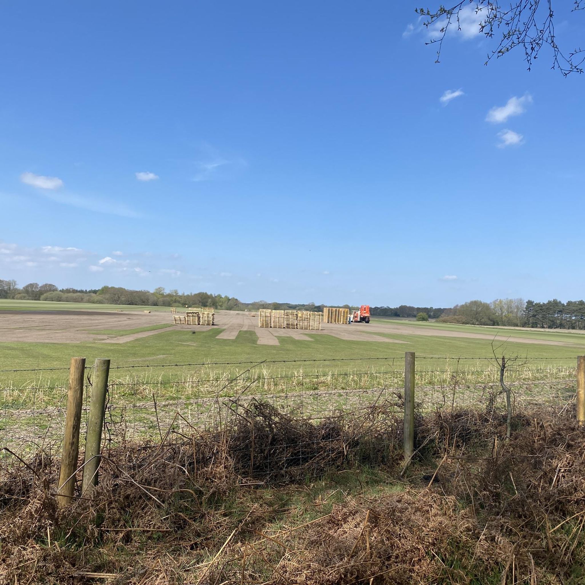
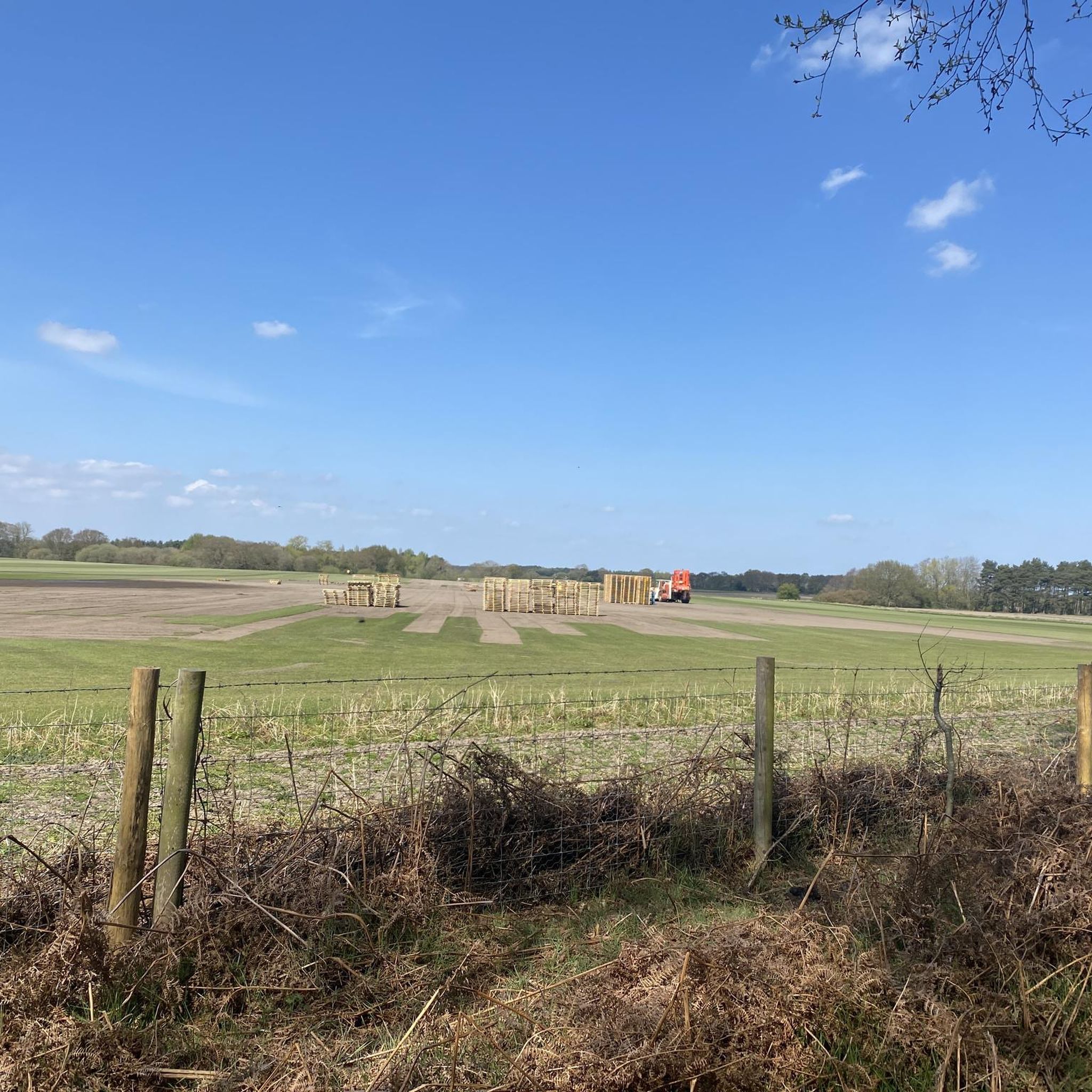
Remnants of RAF Riccall are clearly visible around this loop. The base has a rich history and served as a heavy bomber (Handley Page Halifax) operational conversion unit during the Second World War. Three runways were constructed to form an "A" shape, which allegedly had to be rebuilt after they started to subside and sink into the soft ground. The entire common is riddled with patches of concrete and asphalt that represent the remains of the taxiways and flight pan.
2
0
Off-road parking for at least a dozen cars, easily accessible from the A19 next to Riccall.
2
0


Great pastries but the service is disinterested at best and rude at worst. We waited several minutes at the counter for the person serving to acknowledge us but the group of six cyclists who arrived after us were not so lucky - they gave up and left after ten minutes waiting patiently. Additionally, there’s no lock on the toilet door and precious little space for bikes. Unless you really like pastries and don’t care about service then I’d look elsewhere. The Wenlock Arms in the village is a good choice and bike friendly.
0
1

Open for coffee , panines , cakes when the pubs are not
0
0

The Longhorn Cattle spend Summer in the common and overwinter in Skipwith Village. They are very docile even if you walk between Mum and Her Calf usually more interested in the grass
0
0
Frequently Asked Questions
How many running routes are available around Thorganby?
There are over 110 running routes around Thorganby listed on komoot, offering a wide variety of options for different fitness levels and preferences.
What kind of terrain can I expect on the running trails around Thorganby?
The area around Thorganby features a tranquil blend of rural English scenery. You can expect expansive fields, serene riverside paths along the River Derwent, and woodlands. Subtle changes in elevation provide views across the Vale of York, and the nearby Lincolnshire Wolds offer rolling chalk hills and quiet valleys. The Pocklington Canal also provides flat, tree-lined towpaths.
Are there running routes suitable for beginners in Thorganby?
Yes, Thorganby offers several easy running routes perfect for beginners. For instance, the Common Bottom Wood loop from Thorganby is a moderate 4.0-mile (6.5 km) trail with gentle gradients, often completed in about 40 minutes, making it a good option for those starting out.
What do other runners enjoy most about jogging in Thorganby?
The running routes in Thorganby are highly rated by the komoot community, with an average score of 4.4 stars from around 60 reviews. Runners often praise the tranquil rural landscapes, the variety of paths through woodlands and along rivers, and the peaceful atmosphere. Over 2,600 runners have used komoot to explore Thorganby's varied terrain.
Are there any circular running routes in Thorganby?
Yes, many of the running routes around Thorganby are circular, allowing you to start and finish at the same point. Popular options include the Longhorn Cattle – Optical Society loop from Skipwith and the Wheldrake Wood loop from Wheldrake, both offering scenic loops through the countryside.
Can I bring my dog on the running trails in Thorganby?
Many public footpaths and bridleways around Thorganby are dog-friendly, but it's always recommended to keep dogs on a lead, especially when passing through farmland with livestock or in nature reserves like the Lower Derwent National Nature Reserve. Specific routes like the Common Bottom Wood loop from Thorganby are generally suitable for running with dogs.
Are there family-friendly jogging routes in Thorganby?
Yes, several routes are suitable for families, especially those with gentle gradients and well-maintained paths. The Common Bottom Wood loop from Thorganby is a good example, offering a pleasant and manageable distance through woodland. The Pocklington Canal also offers easy, flat strolls by the water.
What natural features or landmarks can I see while running near Thorganby?
While running near Thorganby, you can encounter several interesting features. The Pocklington Canal offers a glimpse into Victorian Yorkshire with its tree-lined towpaths. You might also spot the York Solar System Greenway (York End), which features scale models of the planets. The River Derwent and the Thorganby Ings (part of the Lower Derwent National Nature Reserve) are also prominent natural features, known for their birdlife.
Where can I park when visiting running trails in Thorganby?
Parking availability varies by trailhead. For routes starting from villages like Skipwith or Wheldrake, there are often village car parks or roadside parking options. For specific routes, it's advisable to check the route details on komoot or local signage for designated parking areas. For example, routes near Elvington or Barlby often have specific parking spots mentioned by local users.
Is public transport available to reach running routes in Thorganby?
Public transport options to Thorganby and surrounding villages are limited but exist. Local bus services connect Thorganby to larger towns like York. It's recommended to check current bus timetables for specific routes and stops that align with your chosen running trail's starting point.
What are the best times of year to go running in Thorganby?
Thorganby offers enjoyable running conditions throughout the year. Spring and summer provide lush green landscapes and longer daylight hours, though some trails might be overgrown. Autumn brings beautiful foliage, while winter running can be crisp and clear, but trails may become muddy, especially in areas like the Thorganby Ings or along riverside paths. Always check local weather and trail conditions before heading out.
Are there cafes or pubs near the running routes in Thorganby?
Yes, several villages surrounding Thorganby offer cafes and pubs where you can refuel after your run. For example, Wheldrake, a starting point for routes like the Wheldrake Wood loop, has local establishments. Thorganby itself has local amenities, and nearby towns like Pocklington also offer a wider selection of eateries.
Are permits required for jogging on trails around Thorganby?
Generally, permits are not required for jogging on public footpaths and bridleways around Thorganby. However, if your route passes through private land or specific nature reserves, it's always good practice to respect local signage and any access restrictions that may be in place, particularly in sensitive areas like the Lower Derwent National Nature Reserve.
Most popular routes around Thorganby
Most popular attractions around Thorganby

Get inspired with the komoot mobile app


Explore more
Browse the best Running Trails & Routes in other regions.
