The best road cycling routes around Beal
4.6
(118)
5,526
riders
188
rides
Road cycling routes around Beal are situated in the rural landscape of North Yorkshire, England, near the River Aire. The immediate vicinity offers predominantly flat terrain with minimal elevation gain, suitable for accessible cycling. The broader North Yorkshire region features varied terrain, including flat stretches in the Vale of York and rolling hills, providing diverse road cycling opportunities. The area is characterized by an agricultural environment with well-paved country lanes.
Best road cycling routes around Beal
- The most popular road…
Last updated: October 1, 2026
23
riders
29.3km
01:13
140m
140m
Easy road ride. Great for any fitness level. Mostly well-paved surfaces and easy to ride.
5.0
(1)
11
riders
15.8km
00:40
50m
50m
Easy road ride. Great for any fitness level. Mostly well-paved surfaces and easy to ride.

6
riders
49.9km
02:17
70m
70m
Moderate road ride. Good fitness required. Some segments of this route may be unpaved and difficult to ride.
8
riders
39.7km
01:56
60m
60m
Moderate road ride. Great for any fitness level. Some segments of this route may be unpaved and difficult to ride.
8
riders
11.0km
00:26
10m
10m
Easy road ride. Great for any fitness level. Mostly well-paved surfaces and easy to ride.
Get access to more routes and recommendations from other explorers.
Already have an account?
Our route recommendations are based on thousands of hikes, rides, and runs completed by other people on komoot.
Start today with a free account
Your next adventure awaits.
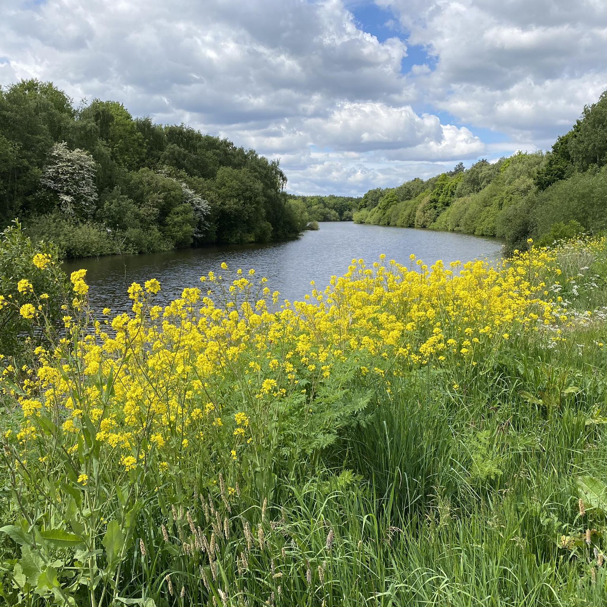
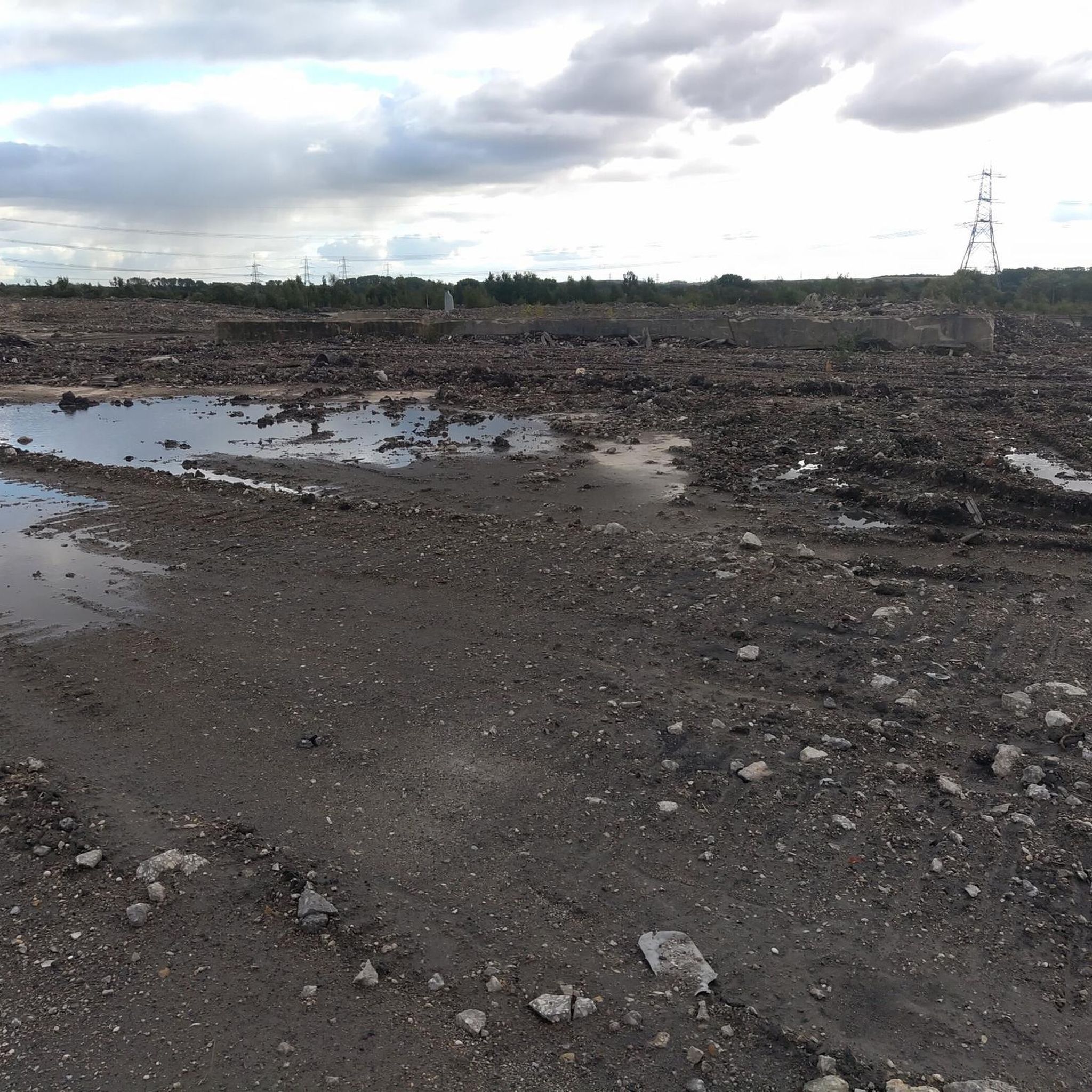
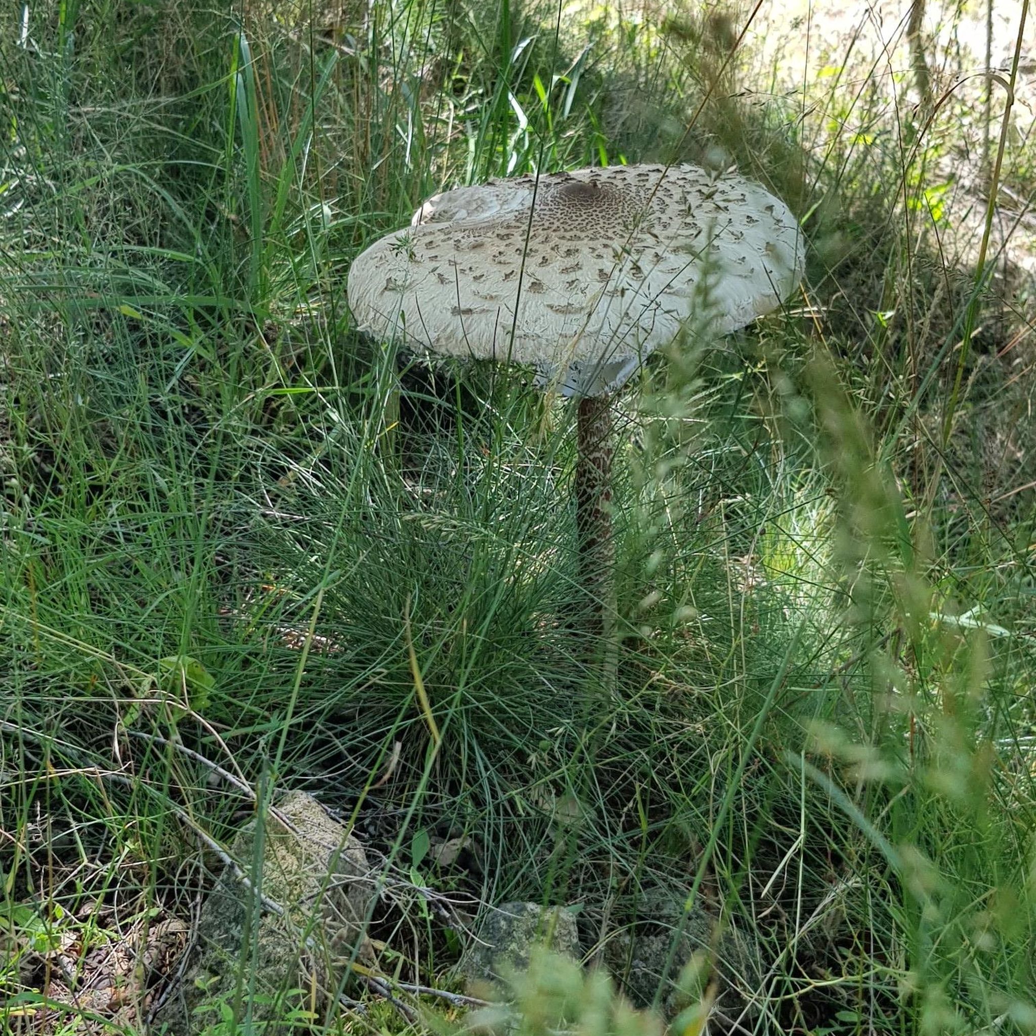
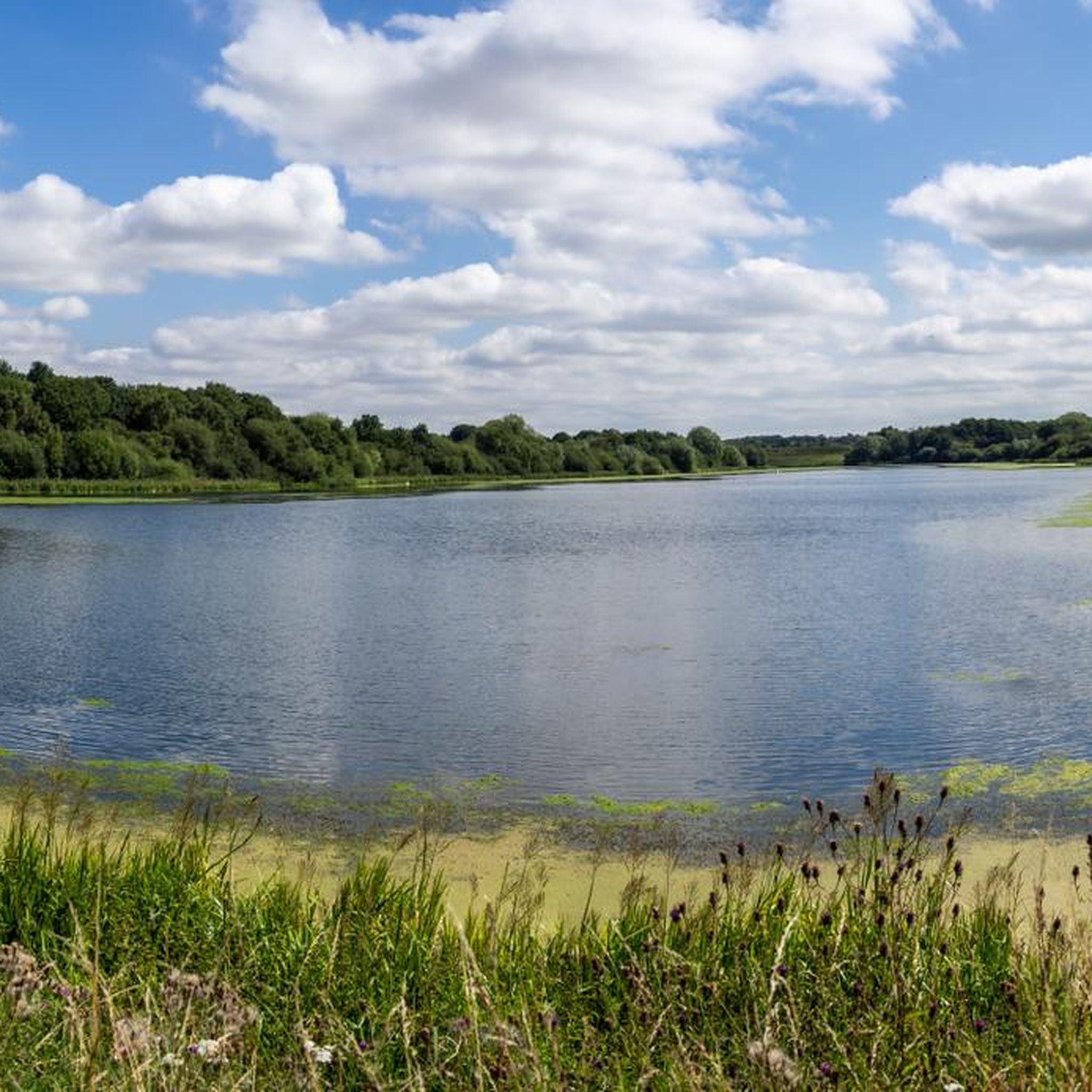
Tips from the Community


This swing bridge crosses the New Junction Canal
1
0
Liftbridge over the New Junction Canal. Sykehouse village is about a mile to the east.
1
0
Although there is some evidence of a chapel having existed at the end of the 12th century, the earliest definite reference is of a licence is dated 1425.
1
0
This lovely rest area is located in Sykehouse, right on the Trans Pennine Trail.
1
0
The River Went is a river in Yorkshire, England. It rises close to Featherstone and flows eastward, joining the River Don at Reedholme Common. https://en.m.wikipedia.org/wiki/River_Went
1
0

An ancient market town that is still thriving today, dominated by its Priory Church which dates back to Anglo-Saxon times. An ideal place to grab a hot meal in any of its pubs and cafes, or visit the local brewery.
1
0
Frequently Asked Questions
How many road cycling routes are available around Beal?
There are over 200 road cycling routes around Beal, offering a wide range of options for different skill levels and preferences. You can find routes varying from easy, flat rides to more moderate distances with gentle undulations.
What kind of terrain can I expect on road cycling routes around Beal?
The immediate vicinity of Beal offers predominantly flat terrain with minimal elevation gain, characterized by well-paved country lanes through an agricultural environment. However, the broader North Yorkshire region, accessible from Beal, features more varied terrain, including rolling hills and undulating stretches, providing diverse road cycling opportunities.
Are there road cycling routes suitable for beginners or families around Beal?
Yes, Beal is an excellent starting point for beginners and families. There are 88 easy routes available. For example, the Birkin Tea Room – Open Plains loop from Beal is a short, easy ride through open plains, and the Beal Bridge – Ferrybridge Old Bridge loop from Knottingley offers minimal elevation changes along the River Aire.
What is the best time of year for road cycling around Beal?
The best time for road cycling around Beal is generally from spring through autumn. During these seasons, you can expect more favorable weather conditions, making for a more enjoyable experience on the open plains and country lanes. Winter conditions can be challenging due to colder temperatures and potential for ice or snow.
What do other road cyclists enjoy most about road cycling in Beal?
The road cycling routes around Beal are highly rated by the komoot community, with an average score of 4.5 stars from over 110 reviews. Cyclists often praise the peaceful rural landscape, the well-paved country lanes, and the variety of routes that cater to different abilities, from easy riverside loops to longer, moderate rides through open countryside.
Are there any scenic viewpoints or notable landmarks along the road cycling routes near Beal?
While cycling around Beal, you can encounter several interesting points. The Ferrybridge Old Bridge is a notable landmark you might pass. For natural beauty, the Fairburn Ings RSPB Nature Reserve and Brockadale Nature Reserve offer opportunities to enjoy the local wildlife and serene landscapes near some routes.
Are there any cafes or places to stop for refreshments along the road cycling routes?
Yes, you can find places to stop for refreshments. The Birkin Tea Room is a popular spot mentioned in one of the routes, and the Snaith Priory Church – The Old Butchers Café loop from Whitley Bridge specifically highlights a cafe along its path. These provide convenient breaks during your ride.
How long are the road cycling routes around Beal?
The routes around Beal vary significantly in length. You can find shorter, easy rides like the Birkin Tea Room – Open Plains loop from Beal, which is about 11 km. There are also longer, moderate routes such as the Snaith Priory Church – The Old Butchers Café loop from Whitley Bridge, covering approximately 50.6 km.
Are there any circular road bike trails near Beal?
Yes, many of the road cycling routes around Beal are designed as loops, allowing you to start and finish in the same location. Examples include the Beal Bridge – Ferrybridge Old Bridge loop from Knottingley and the Kirk Smeaton Church – River Went at Kirk Smeaton loop from Whitley Bridge, which offer convenient circular journeys.
What are the options for parking when accessing road cycling trails near Beal?
While specific parking facilities for each route are not detailed, Beal and its surrounding villages typically offer local parking options. Given the rural nature of the area, you can often find roadside parking or designated car parks in nearby towns that serve as starting points for many routes. Always check local signage for restrictions.
Can I access road cycling trails near Beal using public transport?
Beal is a small village, but its location in North Yorkshire means that some routes may be accessible via public transport connections to nearby towns. For detailed information on public transport routes and schedules that might connect to cycling starting points, it's advisable to consult local transport services for North Yorkshire.
Most popular routes around Beal
Most popular attractions around Beal

Get inspired with the komoot mobile app


Explore more
Browse the best Road cycling routes in other regions.
