The best road cycling routes around Moneycarrie Upper
11
riders
11
rides
Road cycling routes around Moneycarrie Upper feature a landscape characterized by rolling terrain and a mix of open countryside and forested areas. The region includes routes that pass by historical landmarks and through rural settings. Elevations are generally moderate, with climbs typically ranging from 200 to 500 meters.
Best road cycling routes around Moneycarrie Upper
- The most popular road cycling route is Dunluce Castle loop from Balnamore, a 26.7 miles (43.0 km) trail that takes about 1 hour 51…
Last updated: July 9, 2026
3
riders
81.6km
03:32
540m
540m
Moderate road ride. Good fitness required. Some segments of this route may be unpaved and difficult to ride.
3
riders
43.4km
01:53
300m
300m
Moderate road ride. Good fitness required. Some segments of this route may be unpaved and difficult to ride.

Sign up for free
3
riders
26.4km
01:16
230m
230m
Moderate road ride. Great for any fitness level. Some segments of this route may be unpaved and difficult to ride.
2
riders
78.0km
03:19
460m
460m
Moderate road ride. Good fitness required. Some segments of this route may be unpaved and difficult to ride.
2
riders
83.6km
04:06
960m
960m
Hard road ride. Very good fitness required. Mostly well-paved surfaces and easy to ride.
Get access to more routes and recommendations from other explorers.
Sign up for free
Already have an account?
Our route recommendations are based on thousands of hikes, rides, and runs completed by other people on komoot.
Start today with a free account
Your next adventure awaits.
Login or Signup
Popular around Moneycarrie Upper
Tips from the Community

Quiet road from Coleraine to Castlerock avoiding busy road. Fun descent!
0
0

This is the best preserved court tomb in the Causeway Coast area. A Neolithic tomb dating from c.4000 to 2000 BC. It was excavated twice, in 1935 and 1975. It consists of a horse shoe shaped forecourt that leads into a small chamber. There is a cremation passage behind the chamber containing three pits, one of these pits held the remains of several people. This form of cremation passage is the only one of its type found in Ireland.
0
0
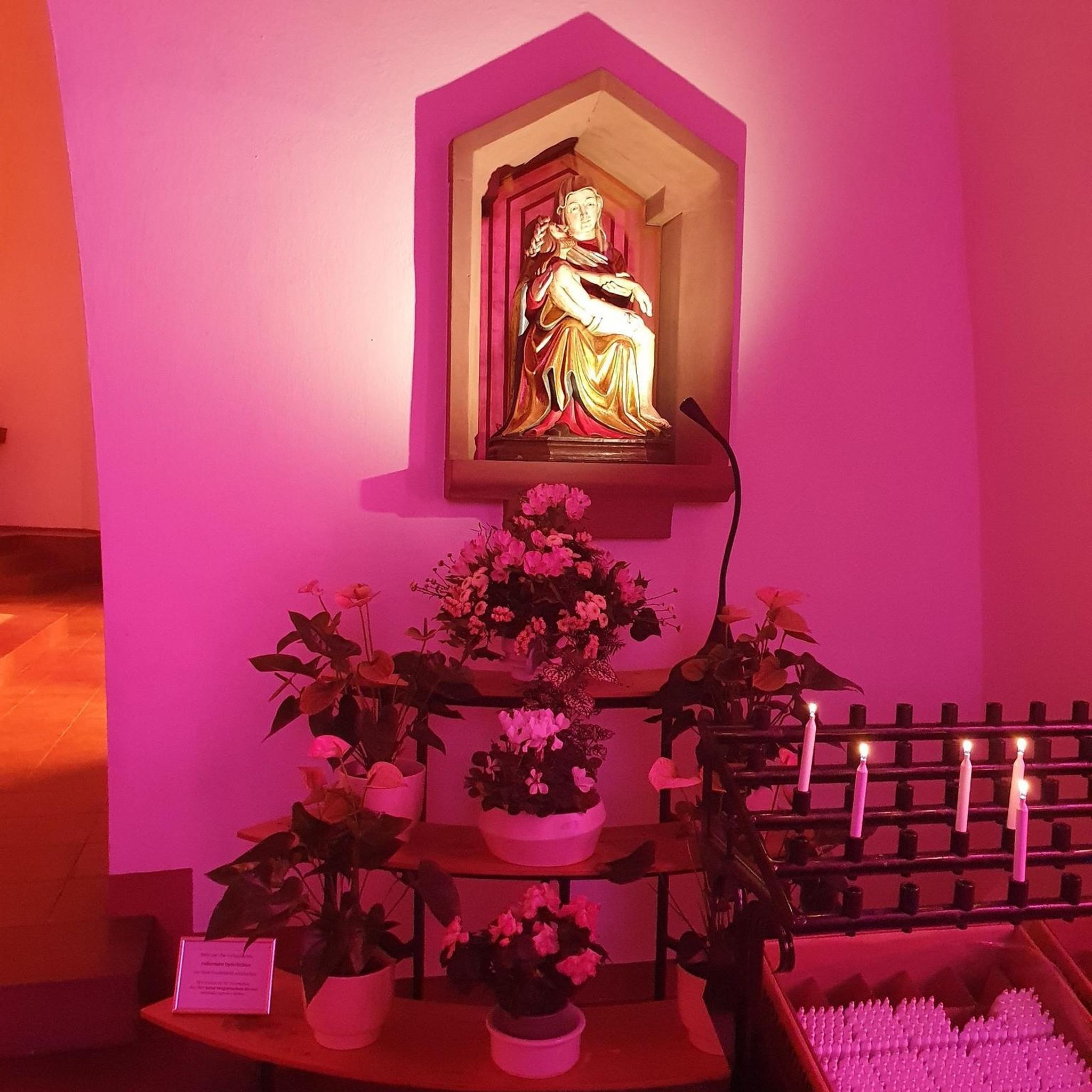
Contained within the ruins is a sculpture of the crucifixion, which is thought to date from the 10th Century, making it one of the oldest in Ireland. St Lurach founded an important church here in the 6th century. It was plundered by Vikings in 832 and burned in 1135. Following the 12th-century ecclesiastical reforms this was the seat of a bishop from the mid 12th to the mid 13th century, then served as parish church until the new church across the road was built in the early 19th century. This long history is reflected in the much patched and altered fabric, and the big uneven graveyard.
0
0

If you're lucky enough to reach this viewpoint on a clear day, you'll have stunning views of the Inishowen Peninsula, Lough Foyle stretching down to Londonderry, or even Scotland!
1
0
This statue is located right next to the parking area and is easily accessible. The statue represents this sea god from Irish mythology overlooking the channel toward Greencastle, and from here, you can observe the beautiful countryside that surrounds you.
0
0
Gortmore is a fascinating place with an atmosphere all of its own. On clear days you can get stunning views. To the west is Lough Foyle stretching down to Londonderry and beyond; to the north is the Inishowen Peninsula and to the east you can see as far as Scotland.
0
0


Manannan Mac Lir is mythical Irish sea god, said to be a warrior and king of the otherworld. The statue of this king is situated on a hill in the Binevenagh AONB, overlooking the channel toward Greencastle, providing some absoloutely breathtaking views across the surrounding countryside. After your energy-consuming journey up this hill you'll definitely need a rest, so take a seat and take it all in before heading back to your starting point.
1
0
Frequently Asked Questions
What kind of terrain can I expect when road cycling around Moneycarrie Upper?
The Moneycarrie Upper region is characterized by rolling terrain, offering a mix of open countryside and forested areas. You'll encounter moderate elevations, with climbs typically ranging from 200 to 500 meters, providing a varied and engaging cycling experience.
Are there any easy road cycling routes suitable for beginners in Moneycarrie Upper?
While many routes are moderate, the Dunluce Castle loop from Balnamore is classified as easy. This 26.7-mile route features an elevation gain of around 268 meters, making it a good option for those looking for a less strenuous ride with scenic views.
Which road cycling routes offer the most challenging climbs in Moneycarrie Upper?
For a more challenging ride with significant elevation, consider the longer Garvagh Pyramid – Garvagh Forest Trails loop from Garvagh. This route covers approximately 42.3 miles (68.1 km) and includes an elevation gain of over 500 meters, providing a good workout for experienced cyclists.
Are there any family-friendly road cycling options in Moneycarrie Upper?
The region's routes are generally designed for moderate ability levels. For families with older children or those comfortable with moderate distances, the Garvagh Pyramid – Garvagh Forest Trails loop from Agivey, at 16.4 miles with 228 meters of ascent, could be a suitable option, navigating through varied forest and rural landscapes.
What historical landmarks or points of interest can I see along the road cycling routes?
Many routes pass by notable landmarks. The Dunluce Castle loop from Balnamore offers views towards the historic Dunluce Castle. Additionally, several routes, such as the Garvagh Pyramid – Garvagh Forest Trails loop from Kilrea, navigate past the intriguing Garvagh Pyramid landmark.
Are there circular road cycling routes available in Moneycarrie Upper?
Yes, all the featured road cycling routes around Moneycarrie Upper are designed as loops, allowing you to start and finish at the same point. Examples include the Dunluce Castle loop from Balnamore and the various Garvagh Pyramid – Garvagh Forest Trails loops.
What is the best time of year for road cycling in Moneycarrie Upper?
The best time for road cycling in Moneycarrie Upper is typically during the spring and summer months (April to September) when the weather is milder and daylight hours are longer. Autumn can also be pleasant with vibrant foliage, though temperatures will be cooler.
Are there any road cycling routes that include cafe stops or places to refuel?
While specific cafe stops are not detailed for each route, many routes pass through or near small towns like Kilrea, Agivey, and Garvagh. These towns are likely to offer local amenities where you can find refreshments and refuel during your ride. Planning your route with potential stops in mind is recommended.
What are the road conditions like for cycling in Moneycarrie Upper?
Road cycling in Moneycarrie Upper primarily utilizes rural roads and some forest trails. While generally well-maintained, conditions can vary, especially after adverse weather. It's always advisable to check local weather forecasts and be prepared for typical rural road surfaces.
How many road cycling routes are available in the Moneycarrie Upper area?
There are five distinct road cycling routes detailed for the Moneycarrie Upper area, offering a range of distances and moderate challenges for cyclists to explore the region's landscapes and landmarks.
What do other road cyclists enjoy most about cycling in Moneycarrie Upper?
Road cyclists using komoot often appreciate the varied terrain, which includes a mix of open countryside and forested areas. The presence of historical landmarks like Dunluce Castle and the Garvagh Pyramid also adds a unique cultural dimension to the rides, making them both scenic and interesting.
Are there any particularly scenic road cycling routes with good viewpoints?
The Dunluce Castle loop from Balnamore is highly recommended for its scenic views, particularly towards the historic Dunluce Castle. The routes that traverse through Garvagh Forest also offer picturesque stretches through wooded landscapes.
Most popular routes around Moneycarrie Upper

Get inspired with the komoot mobile app


Explore more
Browse the best Road cycling routes in other regions.
