The best running trails around Witzenhausen
4.3
(118)
1,142
runners
100
runs
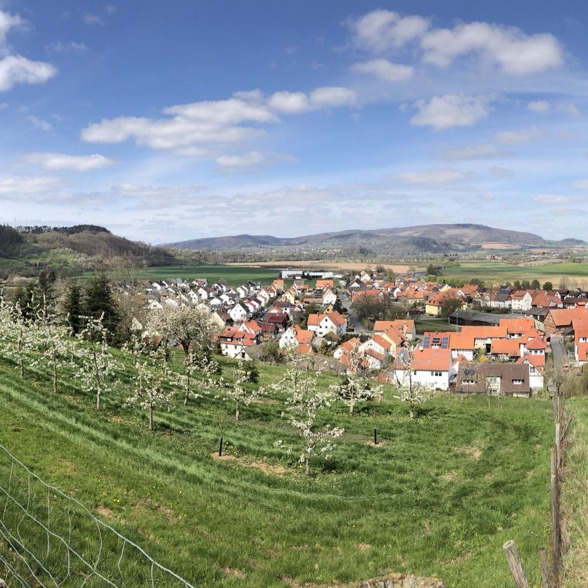
Jogging routes around Witzenhausen traverse the picturesque Werra valley, characterized by deeply incised valleys, rolling hills, and forested uplands. The region is known for its extensive cherry orchards, which offer unique running opportunities, particularly during blossom season. Trails often follow the Werra river, providing panoramic views, and extend into the surrounding Kaufunger Wald and Reinhardswald forests, featuring varied terrain and elevation changes.
Best jogging routes around Witzenhausen
- The most popular jogging route is Red Lake – Little Steinberg Lake loop…
Last updated: July 6, 2026
5.0
(2)
43
runners
40.4km
04:54
1,140m
1,140m
Hard run. Very good fitness required. Mostly paved surfaces. Suitable for all skill levels.
5.0
(5)
101
runners
21.7km
02:26
440m
430m
Hard run. Very good fitness required. Mostly paved surfaces. Suitable for all skill levels.

Sign up for free
3.0
(1)
55
runners
Hard run. Very good fitness required. Mostly accessible paths. Some sure footedness required.
52
runners
48.5km
05:28
950m
950m
Hard run. Very good fitness required. Mostly paved surfaces. Suitable for all skill levels.
4.5
(4)
45
runners
Moderate run. Good fitness required. Mostly paved surfaces. Suitable for all skill levels.
Get access to more routes and recommendations from other explorers.
Sign up for free
Already have an account?
Our route recommendations are based on thousands of hikes, rides, and runs completed by other people on komoot.
Start today with a free account
Your next adventure awaits.
Login or Signup
Other adventures around Witzenhausen

Tips from the Community


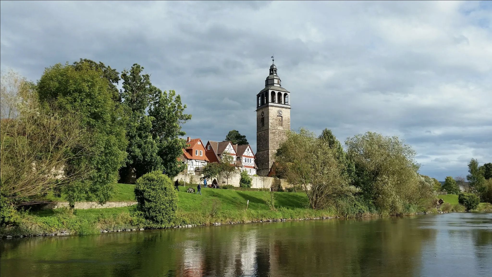
A well-preserved hall church directly on the road
1
0

The market square, the central square of the old town of Witzenhausen, is dominated by the beautiful historic town hall.
7
1

The university's teaching greenhouse in Witzenhausen is open to visitors on Wednesday afternoons and weekends.
0
0

The tropical greenhouse is only open from 2 p.m. to 4 p.m., Wednesday and Friday to Sunday. You can take a tour of the greenhouse at 2 p.m. or of the outdoor area at 3:30 p.m. The latter is closed during the winter months. A visit is free (unless you want to take the tour). The greenhouse is very interesting because it is also dedicated to educational purposes, and you can experience many cultivated plants from around the world.
0
1

Today we rode the Umschwang ⛰️ by bike 🚴🏻🚴🏾♀️. 😉😂 And that wasn't primarily due to the fact that we now ride e-bikes. The main reason was that many, many years ago, as simple occasional cyclists, we rode the 🚴🏾♀️ from Witzenhausen via Kleinalmerode and the Umschwang to Kassel. Then we rigorously avoided the route for decades because of the extremely unfriendly traffic (cars, trucks, motorcycles). Today, on June 21, 2025, we seized the opportunity. The road from Kleinalmerode via the Umschwang to Nieste has recently been closed for months, just before Nieste (see https://mobil.hessen.de/presse/l-3237-nieste-grossbaustelle-in-der-ortsdurchfahrt). However, with the 🚴🏾♀️ through the Niester Endschlagsiedlung, this was no problem at all. From Kleinalmerode onwards, we had the road, similar to a two-lane cycle path, to ourselves. We only encountered other cyclists who were just as happy about this experience as we were and who were truly enjoying the truly beautiful landscape in the most beautiful, and up to this point still pleasant, temperatures and weather. Everything to the right and left was lush green. And on the slopes, mostly to the right of the road, in many places everything was covered with wild, pink to purple flowering foxgloves. And the best part: once we reached the 450m elevation, the descent seemed to flow naturally. The sporty racing cyclists we encountered had a harder time—by design. We'll certainly be taking advantage of the road closure, which will last until at least the end of 2025, if not until next spring, at least once this summer and fall, and we can only recommend it to all other cyclists. Especially if they shy away from the otherwise prevalent traffic there like we do, and the devil shy away from holy water.🖐️
1
0

Best running event in the district. Great organization and a great selection of routes.
0
0
Frequently Asked Questions
What kind of terrain can I expect on running routes around Witzenhausen?
Witzenhausen offers a diverse range of terrains for runners. You'll find extensive paths along the Werra river, providing relatively flat and scenic runs. The region is also characterized by rolling hills and forested uplands, particularly in the surrounding Kaufunger Wald and Reinhardswald forests, which offer more challenging routes with significant elevation changes. Expect a mix of deeply incised valleys, open cherry orchards, and wooded trails.
Are there many running routes available in the Witzenhausen area?
Yes, the Witzenhausen region boasts a comprehensive network of trails. Komoot lists over 90 running routes, catering to various preferences and fitness levels. This includes 8 easy routes, 67 moderate routes, and 21 difficult routes, ensuring there's a path for every runner.
What are some notable natural features or landmarks I might see while jogging in Witzenhausen?
The region is rich in natural beauty and interesting sights. You can run through the famous 'Kirschenland' (Cherry Land) with its vast cherry orchards, especially stunning during blossom season. Paths along the Werra river offer impressive panoramic views. Other highlights include the intriguing Hielöcher Karst Landscape, the Buntsandstein Cliffs, and viewpoints like the Teufelskanzel, offering vistas of the Werra loop. The Confluence of the Werra and Fulda rivers is another significant natural monument nearby.
When is the best time of year to go jogging in Witzenhausen?
Witzenhausen offers beautiful running conditions throughout the year. Late April to early May is particularly magical when the cherry orchards transform into a 'white sea of blossoms'. Autumn brings striking red-brown hues to the cherry tree leaves, creating another picturesque season. The forested areas provide shade in summer and shelter in winter, making it a year-round destination for outdoor activities.
Are there any family-friendly running routes in Witzenhausen?
Yes, many routes are suitable for families. The paths along the Werra river are generally flatter and less strenuous, ideal for a leisurely run with children. Additionally, some trails within the Kaufunger Wald and Reinhardswald forests are designed to be accessible for families, offering a pleasant experience amidst nature.
Can I bring my dog on the running trails around Witzenhausen?
Many of the natural trails and paths in the Witzenhausen region are dog-friendly, allowing you to enjoy your run with your canine companion. However, it's always advisable to keep dogs on a leash, especially in nature reserves, agricultural areas, or near livestock, and to be mindful of local regulations.
Are there any circular running routes available?
Yes, many of the running routes around Witzenhausen are designed as circular paths, allowing you to start and end your run at the same point. For instance, the moderate Jewish Cemetery Witzenhausen – Rest Area by the Pond loop from Witzenhausen is a popular circular option, covering about 4 miles (6.5 km) through local landmarks and green spaces.
What do other runners say about the jogging routes in Witzenhausen?
The running routes in Witzenhausen are highly regarded by the komoot community, with an impressive average rating of 4.4 stars from over 130 reviews. Runners often praise the varied terrain, the stunning natural scenery, especially the cherry orchards and Werra valley views, and the well-maintained paths that cater to different ability levels.
Are there any easy running routes for beginners in Witzenhausen?
Absolutely. While the region offers challenging trails, there are also 8 routes classified as easy. These typically feature less elevation gain and shorter distances, making them perfect for beginners or those looking for a more relaxed run. The paths along the Werra river are generally a good starting point for easier runs.
Are there any running routes that offer significant elevation gain for a challenging workout?
For runners seeking a challenge, Witzenhausen delivers. The region's rolling hills and forests provide routes with considerable elevation changes. A prime example is the difficult Red Lake – Little Steinberg Lake loop from Kleinalmerode, which spans 25.1 miles (40.4 km) and features over 1,100 meters of elevation gain through varied landscapes.
Can I find parking near the jogging trails in Witzenhausen?
Yes, many popular starting points for jogging routes in and around Witzenhausen offer convenient parking facilities. While specific parking details vary by route, areas near trailheads, town centers, or popular attractions often have designated parking spaces available for outdoor enthusiasts.
Are there any routes that pass by historical sites or castles?
Yes, you can combine your run with a touch of history. Some routes may pass by or offer views of historical attractions like Berlepsch Castle or the charming half-timbered buildings within Witzenhausen itself. For a longer, challenging run that includes a castle, consider the difficult Ludwigstein Castle – Werratal Railway Bridge loop from Witzenhausen Nord.
Most popular routes around Witzenhausen
Most popular attractions around Witzenhausen

Get inspired with the komoot mobile app


Explore more
Browse the best Running Trails & Routes in other regions.
