The best mountain hikes around Diemelsee
4.8
(9)
34
hikers
6
hikes
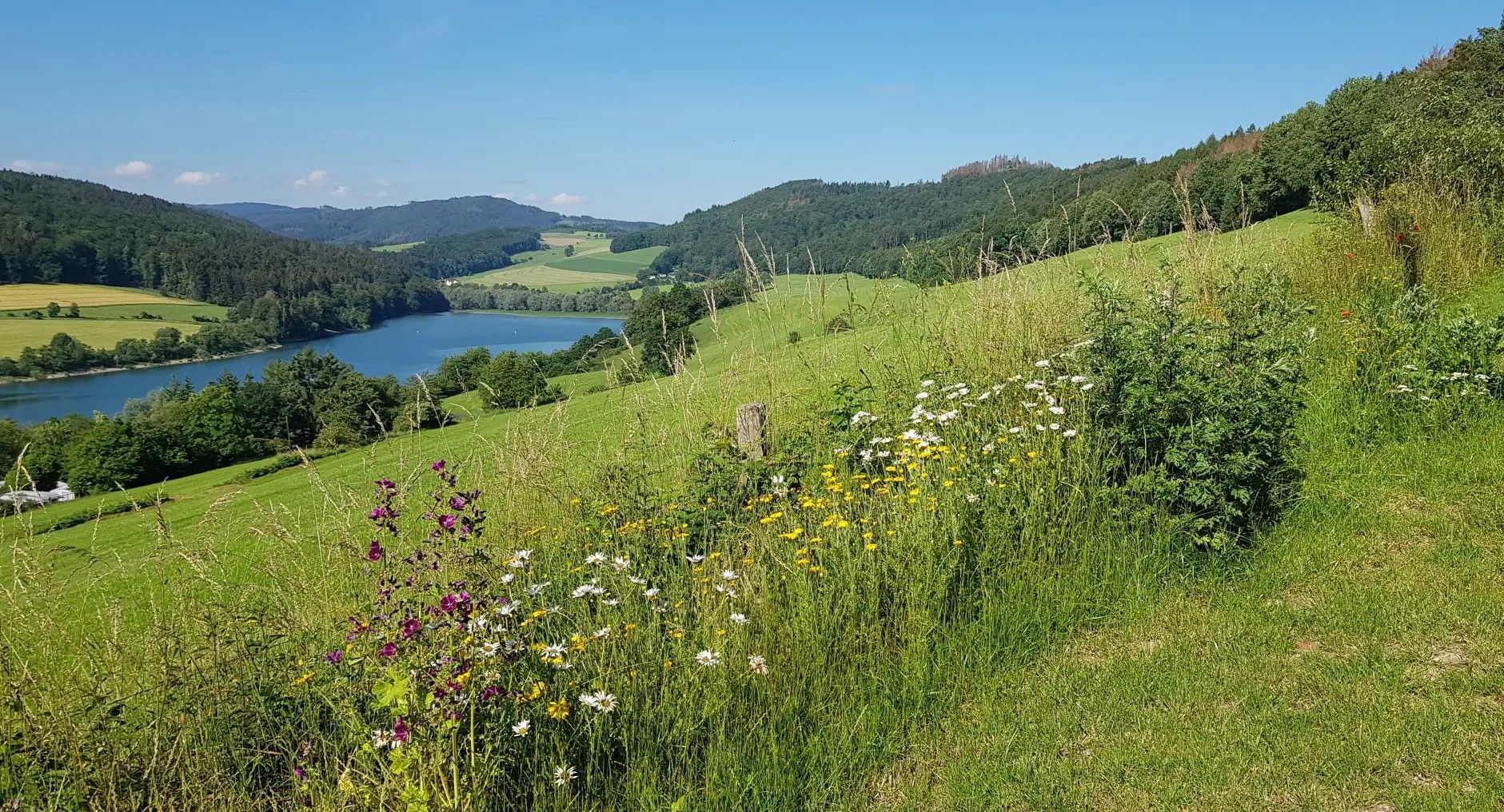
Mountaineering routes around Diemelsee are set within the Sauerland Mountains, characterized by wide valleys, dense forests, and expansive high heaths. The region features prominent peaks rising from the shores of Diemelsee Lake, offering challenging ascents and rewarding views. Trails often involve significant elevation gains and varied terrain, providing an experience akin to traditional mountaineering.
Best mountaineering routes around Diemelsee
- The most popular mountaineering route is Gaugreben’s Jägersteig – View of Bruchhausen loop from Bruchhausen, a 3.4 miles (5.4 km)…
Last updated: July 1, 2026
5.0
(2)
12
hikers
5.40km
01:47
260m
260m
Easy mountaineering route. Great for any fitness level. Easily-accessible paths. Suitable for all skill levels.
5.0
(2)
8
hikers
Hard mountaineering route. Great for any fitness level. Sure-footedness, sturdy shoes and alpine experience required.

Sign up for free
4.0
(3)
7
hikers
16.4km
04:44
380m
380m
Moderate mountaineering route. Good fitness required. Easily-accessible paths. Suitable for all skill levels.
5.0
(2)
3
hikers
7.97km
02:21
230m
230m
Moderate mountaineering route. Good fitness required. Easily-accessible paths. Suitable for all skill levels.
4
hikers
Hard mountaineering route. Good fitness required. Sure-footedness, sturdy shoes and alpine experience required.
Our route recommendations are based on thousands of hikes, rides, and runs completed by other people on komoot.
Start today with a free account
Your next adventure awaits.
Login or Signup
Popular around Diemelsee
Germany's Sauerland Forest Route – Views and discoveries
Multi-day hikes in the Sauerland – eight trails, many unforgettable moments

The National Natural Landscapes in Hessen
The skyline to half-timbered buildings – Frankfurt to Bielefeld
Hiking in Gemany’s Sauerland – the most beautiful multi–day Tours
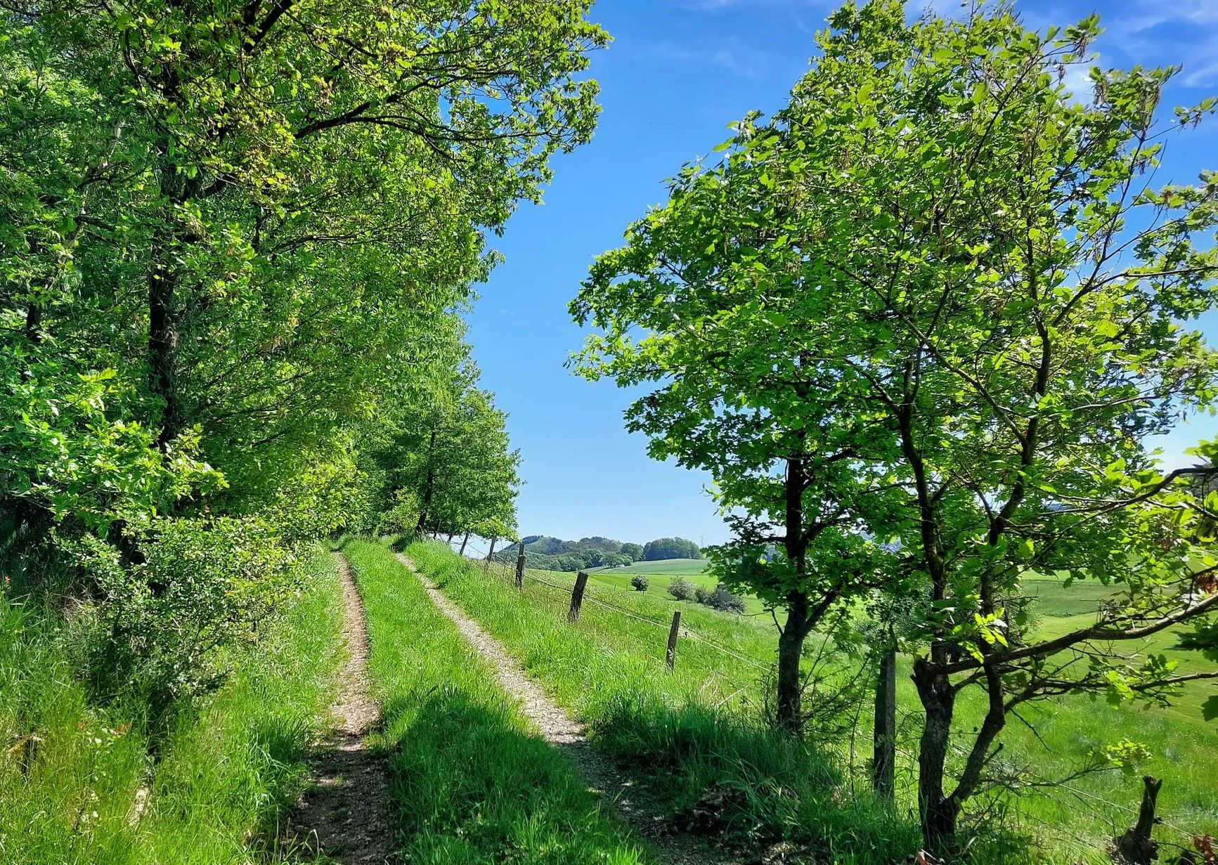
Diemelsteig – hike through the Diemelsee Nature Park in North Hesse
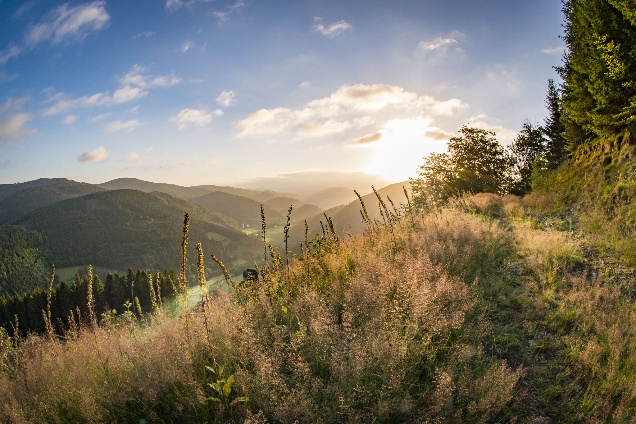
Pure Wanderlust — day Tours in the Sauerland
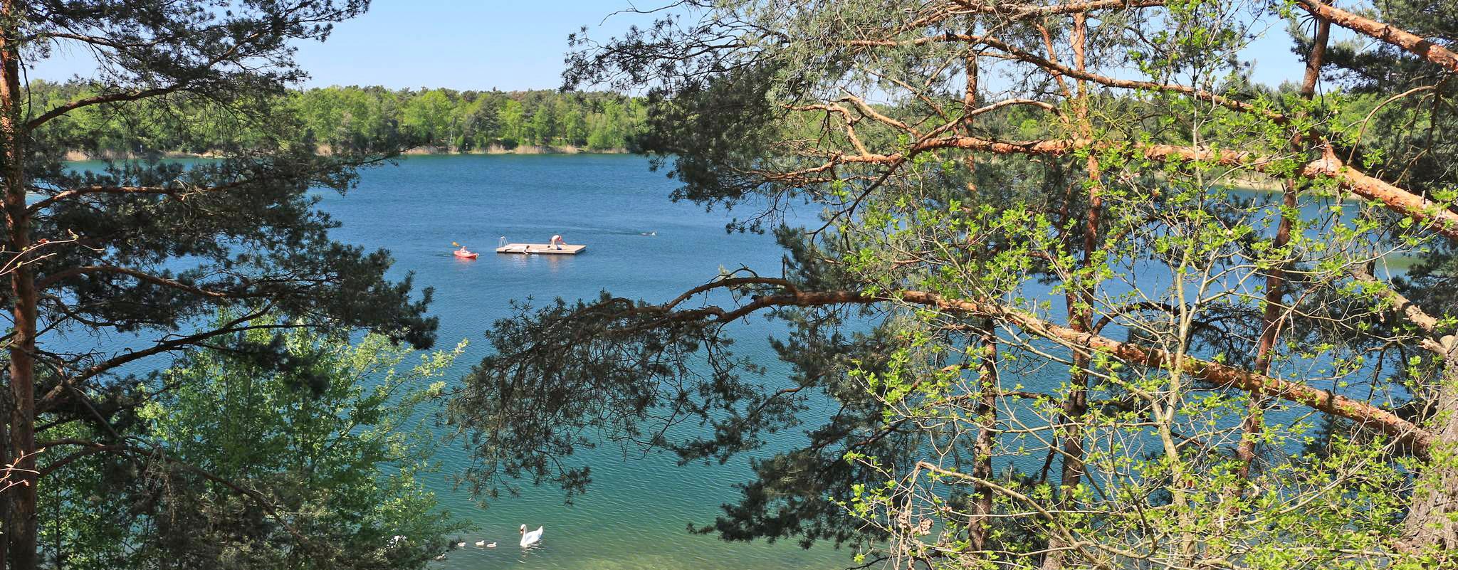
The most popular swimming lakes in Hesse
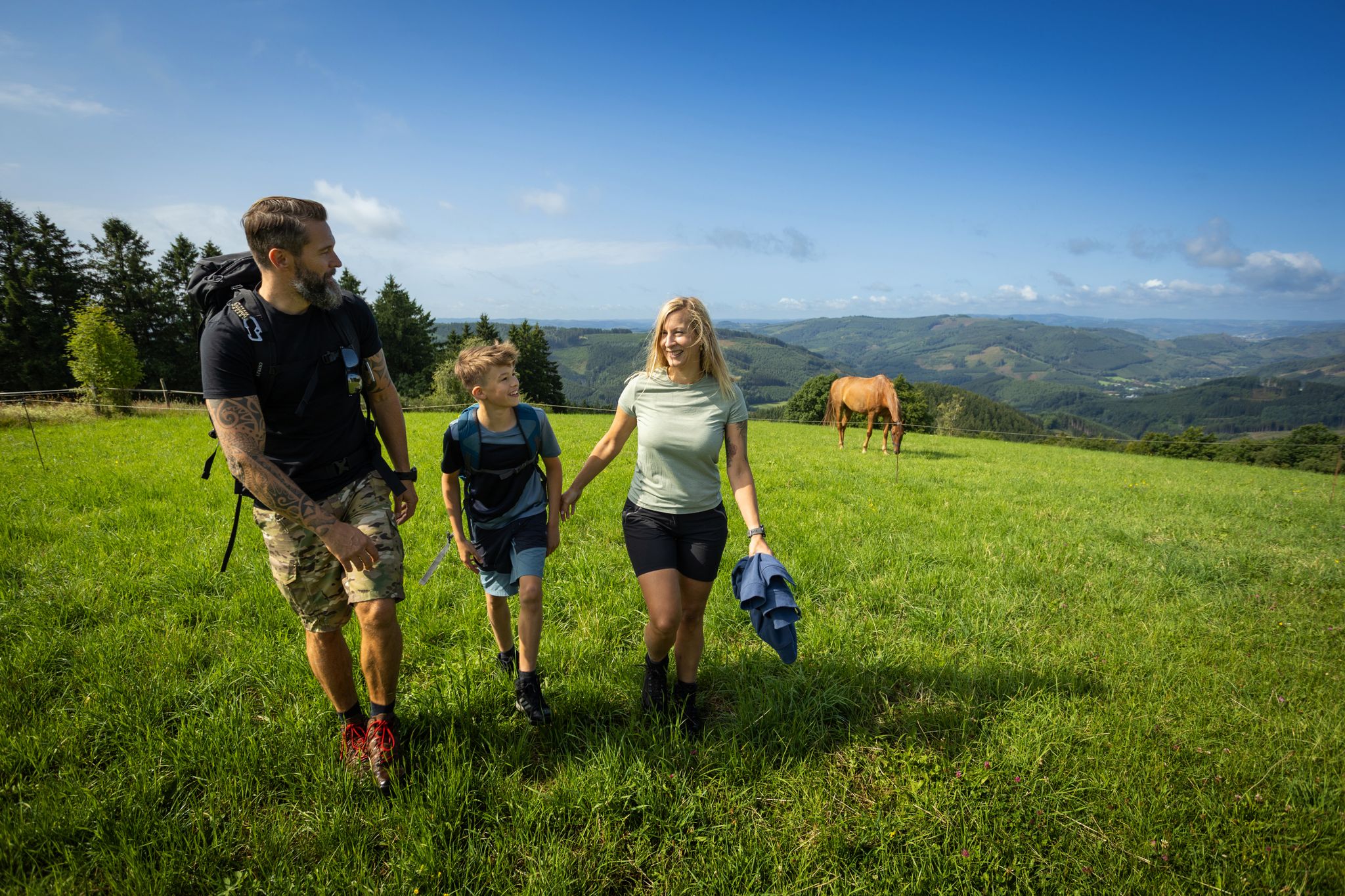
Mit der Familie auf Tour – Wanderspaß im Sauerland
Kurze Wanderungen zu den Sauerland-Seelenorten mit Ausblick
Other adventures around Diemelsee


Tips from the Community

A church building that shapes the townscape is the Catholic parish church of St. Augustine in the town of Willingen. Further information: https://de.wikipedia.org/wiki/St._Augustinus_(Willingen)
0
0

More difficult to cross in winter when the ground is covered in snow. ❄️
0
0
Great information panels along the entire circular route take you back to a bygone era and into the geology of today. 🪨😎🥾
1
0

A different architectural style for a church.
0
0

Right in the center
1
0

Be sure to go up and enjoy the view
0
0

It is the Catholic parish church in Willingen. It was built in 1965/66 according to plans by the architect Hugo Siepmann. The tower consists of two masonry slabs positioned at acute angles to each other.
1
0

The Feldstein is the only one of the four rocks open to the public. Its summit is approximately 756 meters high. The ascent is easily accessible via a staircase carved into the stone with safety barriers. However, sturdy footwear and surefootedness are essential for climbing the rock (not for dogs). Source: https://www.bruchhauser-steine.de/ausflugsziel-bruchhauser-steine/
2
0
Frequently Asked Questions
What kind of terrain can I expect on mountaineering routes around Diemelsee?
Mountaineering routes around Diemelsee are characterized by diverse terrain, including wide valleys, dense forests, and expansive high heaths. You'll encounter prominent peaks rising from the lake's shores, offering challenging ascents and rewarding views. Trails often involve significant elevation gains and varied surfaces, from narrow, rocky paths to forest floors, providing an experience akin to traditional mountaineering.
Are there any easy mountaineering routes suitable for beginners in Diemelsee?
Yes, Diemelsee offers routes suitable for various skill levels. For an easier experience, consider Gaugreben’s Jägersteig – View of Bruchhausen loop from Bruchhausen. This 3.4-mile (5.4 km) trail is rated as easy and offers scenic views over Bruchhausen, typically taking under two hours to complete.
Where can I find challenging mountaineering routes in the Diemelsee region?
For a more challenging experience, the Diemelsee region offers routes with significant elevation gains. The Bornstein (Bruchhauser Steine) – Goldstein (Bruchhauser Stones) loop from Bruchhausen is rated as difficult, covering 3.4 miles (3.3 km) with notable ascents. Another demanding option is the Feldstein (Bruchhauser Steine) loop from Elleringhausen, an 8.6-mile (13.9 km) trail leading through areas with prominent rock formations and substantial climbing.
Are there any family-friendly mountaineering trails around Diemelsee?
While many routes offer a mountaineering challenge, some are more accessible for families. Shorter, less strenuous options can be found, particularly those that focus on scenic viewpoints without extreme elevation. The region's wide valleys and forests provide numerous trails that can be adapted for family outings, though specific 'family-friendly mountaineering' routes might require careful selection based on your family's experience.
Can I bring my dog on the mountaineering trails in Diemelsee?
Many trails in the Diemelsee Nature Park are dog-friendly, allowing you to enjoy the mountaineering experience with your canine companion. However, it's always advisable to keep your dog on a leash, especially in nature reserve areas or near livestock, and to be mindful of other hikers and wildlife. Ensure your dog is fit enough for the challenging terrain and elevation gains.
What are some notable landmarks or viewpoints I can see along the routes?
The Diemelsee region offers several impressive landmarks and viewpoints. You can experience the Ettelsberg summit, or explore the Suspension Bridge Sauerland – Ettelsberg Observation Tower loop from Willingen, which features the impressive Suspension Bridge Sauerland and panoramic views from the Ettelsberg Observation Tower. The Suspension Bridge Sauerland – Storage pond at the Astenturm loop from Willingen (Upland) also offers great views.
Are there any circular mountaineering walks available in Diemelsee?
Yes, many mountaineering routes in Diemelsee are designed as circular walks, allowing you to start and end at the same point. Examples include the popular Gaugreben’s Jägersteig – View of Bruchhausen loop from Bruchhausen and the more challenging Bornstein (Bruchhauser Steine) – Goldstein (Bruchhauser Stones) loop from Bruchhausen. These loops provide a convenient way to explore the diverse landscapes.
What is the best time of year for mountaineering in Diemelsee?
The Diemelsee region is beautiful year-round, but the best time for mountaineering generally depends on your preferences. Spring and autumn offer pleasant temperatures and vibrant scenery, with blooming high heaths in spring and colorful foliage in autumn. Summer is ideal for combining hikes with water activities on the lake. Winter mountaineering is possible, but requires appropriate gear and awareness of snow and ice conditions, especially on higher elevations and narrow paths.
Are there places to eat or stay near the mountaineering routes?
The towns and villages surrounding Diemelsee, such as Heringhausen, Helminghausen, and Adorf, offer various options for cafes, pubs, and restaurants where you can refuel after your mountaineering adventure. You'll also find accommodation ranging from hotels to guesthouses and holiday apartments. Some longer trails, like the Diemelsteig and Uplandsteig, even offer trekking sites for nature-close overnight stays.
Do I need any permits for mountaineering in Diemelsee?
Generally, individual hikers do not require special permits for mountaineering on the established trails within the Diemelsee Nature Park. However, it's always good practice to respect local regulations, especially concerning nature protection areas. If you plan to engage in specific activities or large group events, it's advisable to check with the local tourism office or park administration for any specific requirements.
How long do mountaineering routes around Diemelsee typically take to complete?
The duration of mountaineering routes around Diemelsee varies significantly based on their length and difficulty. For instance, an easy route like Gaugreben’s Jägersteig – View of Bruchhausen loop from Bruchhausen, which is 3.4 miles (5.4 km), takes approximately 1 hour 47 minutes. More challenging and longer routes, such as the 8.6-mile (13.9 km) Feldstein (Bruchhauser Steine) loop from Elleringhausen, can take around 4 hours 37 minutes or more, depending on your pace and breaks.
What makes mountaineering in Diemelsee unique compared to other regions?
Mountaineering in Diemelsee offers a unique blend of challenging ascents within the Sauerland Mountains, combined with the stunning backdrop of the crystal-clear Diemelsee Lake. The region is characterized by its diverse landscapes, including wide valleys, dense forests, and rare high heaths. The presence of nine 'eight-hundred-meter peaks' in the Sauerland, along with the picturesque lake views from summits like St. Muffert and Eisenberg, provides a distinct and rewarding experience for outdoor enthusiasts.
Most popular routes around Diemelsee
Most popular attractions around Diemelsee

Get inspired with the komoot mobile app


Explore more
Browse the best Mountain Hikes & Routes in other regions.
