The best mountain hikes in the Taunus
4.7
(16)
84
hikers
43
hikes
Mountaineering routes in the Taunus traverse a low mountain range characterized by dense forests, deeply carved valleys, and high mountain ridges. The region features impressive rock formations and a varied geology, with the southern areas being particularly forested and mountainous. Notable peaks include the Großer Feldberg, the tallest at approximately 881 meters, and the Altkönig, offering challenging climbs. These routes provide diverse terrain for mountaineers, ranging from moderate paths to more demanding ascents.
Best mountaineering routes in the Taunus
- The…
Last updated: July 2, 2026
4.7
(3)
8
hikers
17.5km
05:34
700m
700m
Hard mountaineering route. Very good fitness required. Mostly accessible paths. Sure-footedness required.
2
hikers
Moderate mountaineering route. Good fitness required. Mostly accessible paths. Sure-footedness required.

Sign up for free
4.5
(2)
6
hikers
Hard mountaineering route. Very good fitness required. Mostly accessible paths. Sure-footedness required.
Moderate mountaineering route. Good fitness required. Mostly accessible paths. Sure-footedness required.
5.0
(2)
3
hikers
Moderate mountaineering route. Good fitness required. Mostly accessible paths. Sure-footedness required.
6
hikers
Moderate mountaineering route. Good fitness required. Mostly accessible paths. Sure-footedness required.
2
hikers
21.2km
06:26
690m
690m
Hard mountaineering route. Very good fitness required. Mostly accessible paths. Sure-footedness required.
2
hikers
Moderate mountaineering route. Good fitness required. Mostly accessible paths. Sure-footedness required.
5.0
(1)
3
hikers
23.0km
07:13
870m
870m
Hard mountaineering route. Very good fitness required. Mostly accessible paths. Sure-footedness required.
5.0
(1)
4
hikers
22.1km
06:49
750m
750m
Hard mountaineering route. Very good fitness required. Mostly accessible paths. Sure-footedness required.
Get access to more routes and recommendations from other explorers.
Sign up for free
Already have an account?
Our route recommendations are based on thousands of hikes, rides, and runs completed by other people on komoot.
Start today with a free account
Your next adventure awaits.
Login or Signup
Popular around Taunus
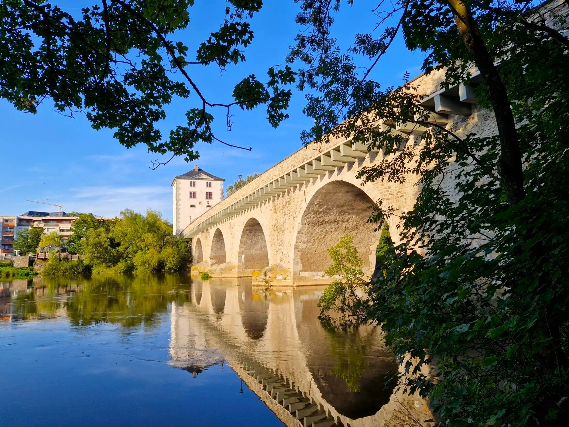
Lahnwanderweg Trail – The Lahn from its source to the estuary

11 Hessen trails – criss-cross through the countryside

German Limes Cycle Path – Riding from the Rhine to the Danube
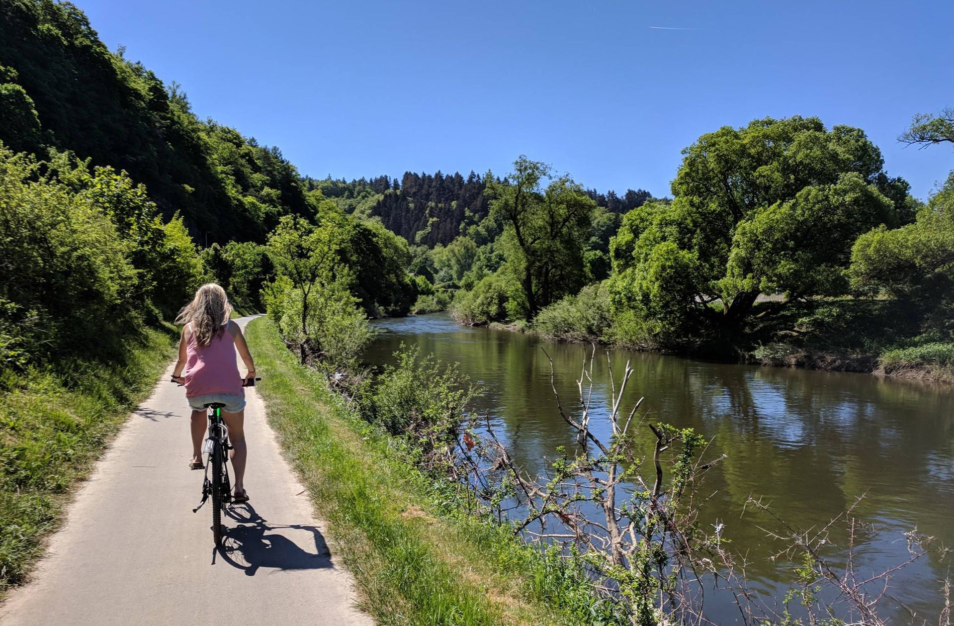
Lahn Cycle Path — from the Rothaar Mountains to the Rhine
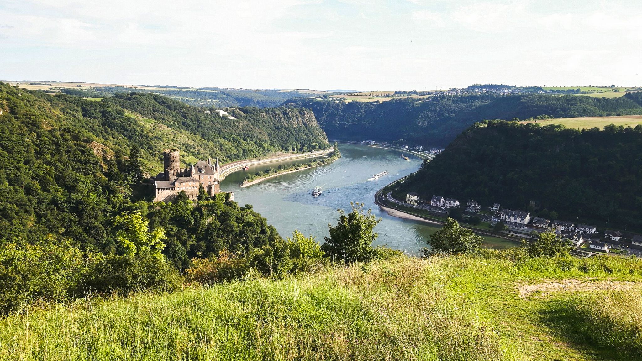
Rheinsteig Trail – The 21 stages along the Rhine
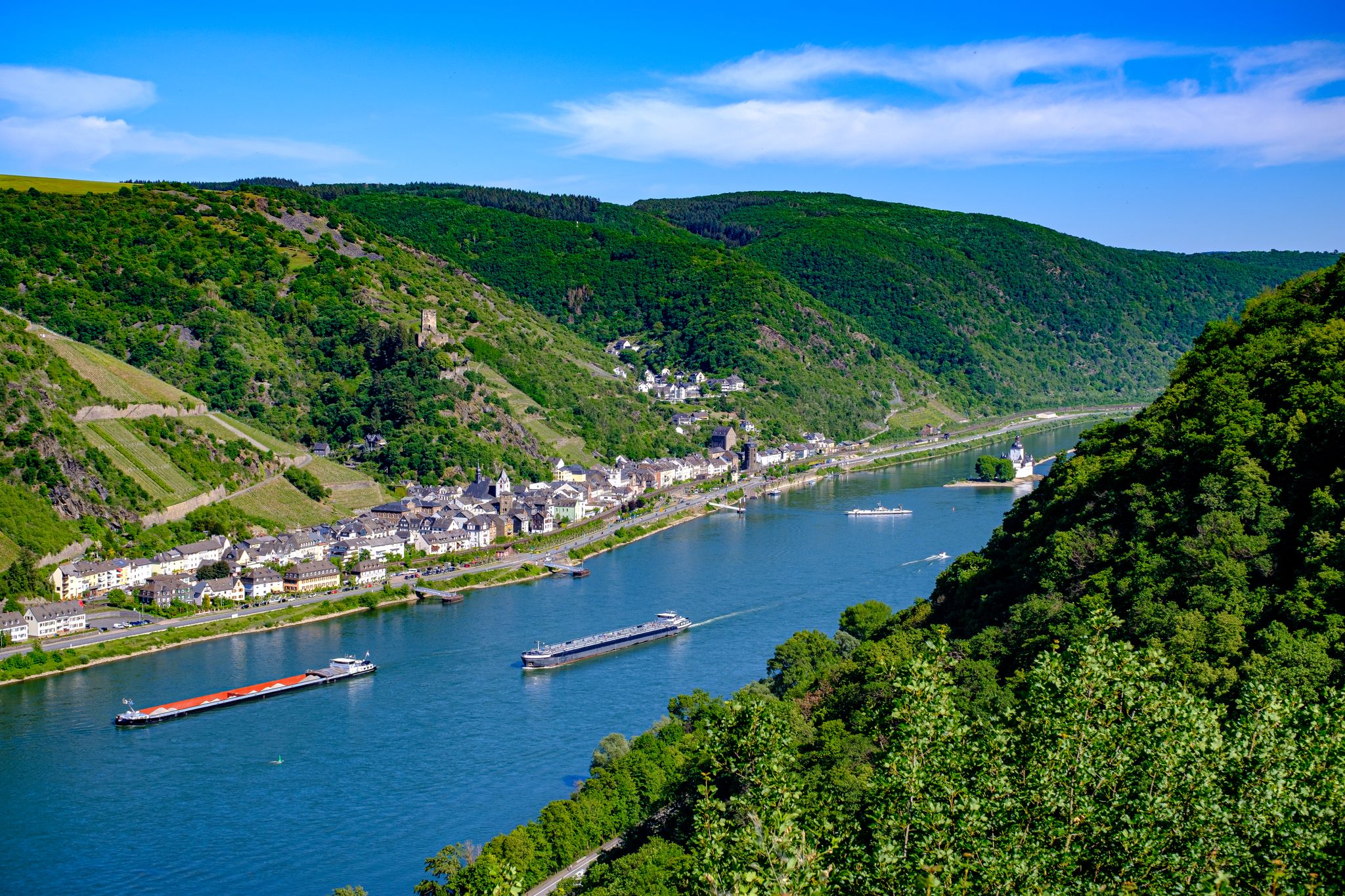
The Rhine Castle Trail – 13 stages of pure Rhine romanticism

The Rhine Cycle Path — From the source to the North Sea

Delightfully scenic hiking in the Taunus range

Dream Trails in the Rhine-Mosel-Eifel Region – Small Trails, Great Nature
Autumn views: to the most beautiful vantage points in the RMV area
Other adventures in the Taunus


Tips from the Community

Nice little break spot. Many illegal fire pits
0
0

Today I saw the new summit cross. ⛰️
1
0

The White Wall in the Taunus Mountains is a quartzite field formed during the Ice Age on the Altkönig mountain by frost weathering. It lies at a maximum elevation of 634 meters above sea level [1] near Oberursel in the Hochtaunus district of Hesse. The area is designated as a nature reserve 🤩
14
0
There is a beautiful old ski lift here
1
0
Lots of rubble but worth seeing.
1
0

Simply wonderful and delicious climb 😜
1
0
Sneakers not recommended, surefootedness and stability are required here 🤗
1
1
Frequently Asked Questions
How many mountaineering routes are available in the Taunus?
The Taunus offers a wide range of mountaineering experiences, with over 45 routes documented on komoot. These routes vary in difficulty, ensuring there's something for every skill level, from moderate ascents to more challenging climbs.
Are there any challenging mountaineering routes in the Taunus?
Yes, the Taunus features several challenging routes that require good fitness and sure-footedness. For instance, the Großer Feldberg Summit – Altkönig Ringwall loop from Königstein im Taunus is a difficult 18.6 km path offering extensive views from the highest peaks. Another demanding option is the Anita's Fuchstanz – Großer Feldberg Summit loop from Hohemark, covering over 21 km with significant elevation gain.
What kind of terrain can I expect on mountaineering routes in the Taunus?
The Taunus is characterized by dense forests, deeply carved valleys, and high mountain ridges. You'll encounter varied geology, including impressive rock formations and scree, particularly around peaks like the Altkönig. Some paths require sturdy shoes and offer a more demanding mountain hiking experience.
Are there any circular mountaineering routes in the Taunus?
Many mountaineering routes in the Taunus are designed as loops, allowing you to start and finish at the same point. A popular moderate circular route is the Altkönig Summit – Rocky Trail on Altkönig loop from Großer Feldberg, which is 7.9 km long. For a longer option, consider the Kleiner Feldberg Roman Fort – Großer Feldberg Summit loop from Reifenberger Wiesen, an 11.3 km moderate trail.
What historical sites or landmarks can I see along the mountaineering routes?
The Taunus blends natural beauty with rich history. You can explore Roman heritage along the Limes Hiking Trail, which features watchtowers and reconstructed forts like the Saalburg Roman fort. Additionally, routes may pass by castle ruins such as Ruins of Falkenstein Castle, offering glimpses into the region's past.
What are the best viewpoints in the Taunus for mountaineers?
The Taunus offers numerous panoramic viewpoints. The summit of the Großer Feldberg, the highest peak, provides extensive views from its lookout tower. The Brunhildis Rock on the northern edge of the Großer Feldberg plateau also offers a beautiful vista. You might also encounter views of the Frankfurt skyline from other elevated points.
Is it possible to reach Taunus mountaineering trails by public transport?
Yes, the Taunus is well-connected by public transport, making many trailheads accessible without a car. Its proximity to major cities like Frankfurt and Wiesbaden, coupled with good public transport links, allows for convenient access to various starting points for your mountaineering adventures.
What is the best time of year for mountaineering in the Taunus?
The Taunus is a year-round destination. While spring and autumn offer pleasant temperatures and vibrant scenery, summer is ideal for longer days on the trails. In winter, the region transforms, offering opportunities for snowshoeing and cross-country skiing, though some routes may require specific winter gear and conditions should be checked.
Are there any family-friendly mountaineering options in the Taunus?
While many routes are challenging, the Taunus Nature Park offers a wide range of trails, some of which are suitable for families. Look for routes described as 'moderate' or 'easy' that avoid steep scree fields or prolonged strenuous ascents. Always check the route's distance and elevation gain to ensure it matches your family's capabilities.
What do other mountaineers enjoy most about the Taunus?
The Taunus is highly rated by the komoot community, with an average score of 4.8 stars. Reviewers often praise the diverse terrain, the rewarding views from the peaks, and the extensive network of trails that cater to various difficulty levels. The combination of dense forests, challenging climbs, and historical sites makes it a unique mountaineering destination.
Are there places to eat or rest along the mountaineering routes?
Yes, you can find places to refuel and rest. For example, Anita's Fuchstanz is a popular restaurant highlight that can be found on several routes, offering a convenient stop. Many villages and towns near the trailheads also provide cafes and pubs.
Can I find routes that lead to the Altkönig summit?
Absolutely. The Altkönig, with its 798-meter elevation and mystical atmosphere, is a popular destination. You can reach it via routes like the Altkönig Ringwall – Altkönig Summit loop from Hohemark, a moderate 10.9 km trail, or the Rocky Trail on Altkönig – Altkönig Summit loop from Königstein im Taunus, which is 12.8 km long.
Most popular routes in the Taunus
Most popular attractions in the Taunus

Get inspired with the komoot mobile app


Explore more
Browse the best Mountain Hikes & Routes in other regions.
