The best road cycling routes around Gransha
5.0
(11)
552
riders
41
rides
Road cycling around Gransha offers routes through a landscape characterized by rolling hills, agricultural land, and proximity to the Mourne Mountains. The terrain features varied elevations, providing both moderate climbs and gentler sections across rural roads. This area is known for its scenic countryside, with routes often traversing quiet lanes and offering views of the surrounding natural features.
Best road cycling routes around Gransha
- The most popular road cycling route is The Yard Café – Loughbrickland Crannóg loop from Rathfriland…
Last updated: June 27, 2026
28
riders
35.0km
01:35
390m
390m
Moderate road ride. Good fitness required. Mostly well-paved surfaces and easy to ride.
20
riders
53.1km
02:30
680m
690m
Moderate road ride. Good fitness required. Mostly well-paved surfaces and easy to ride.

Sign up for free
18
riders
28.8km
01:15
280m
280m
Easy road ride. Great for any fitness level. Mostly well-paved surfaces and easy to ride.
5.0
(1)
18
riders
37.7km
01:50
560m
560m
Moderate road ride. Good fitness required. Mostly well-paved surfaces and easy to ride.
11
riders
15.5km
00:40
130m
130m
Easy road ride. Great for any fitness level. Mostly well-paved surfaces and easy to ride.
Get access to more routes and recommendations from other explorers.
Sign up for free
Already have an account?
Our route recommendations are based on thousands of hikes, rides, and runs completed by other people on komoot.
Start today with a free account
Your next adventure awaits.
Login or Signup

Tips from the Community

A great little cafe set in the bike shop, with great coffee and a nice variety of sweet goodies.
0
0

When you cycle and explore Tollymore Forest Park, you'll find a diverse mix of nature and history. The trails are well maintained and lead through dense forests, along the Shimna River and past historic structures such as the Hermitage and the iconic bridges. However, some sections are quite steep and can be slippery when wet, so caution is advised. Signage could be clearer in places, making orientation difficult. Nevertheless, the park offers a rewarding experience for cyclists who appreciate both scenic beauty and cultural highlights.
1
0

The crannóg is a man made island dating from around the Late Bronze Age period (from approx. 2000 to 500 BC). The Island was inhabited by the Magennis family in the 17th century, who had vacated a castle that is thought to have stood on the lake shore. It was also used as a hiding place for the Irish Rebellion around 1642.
1
0
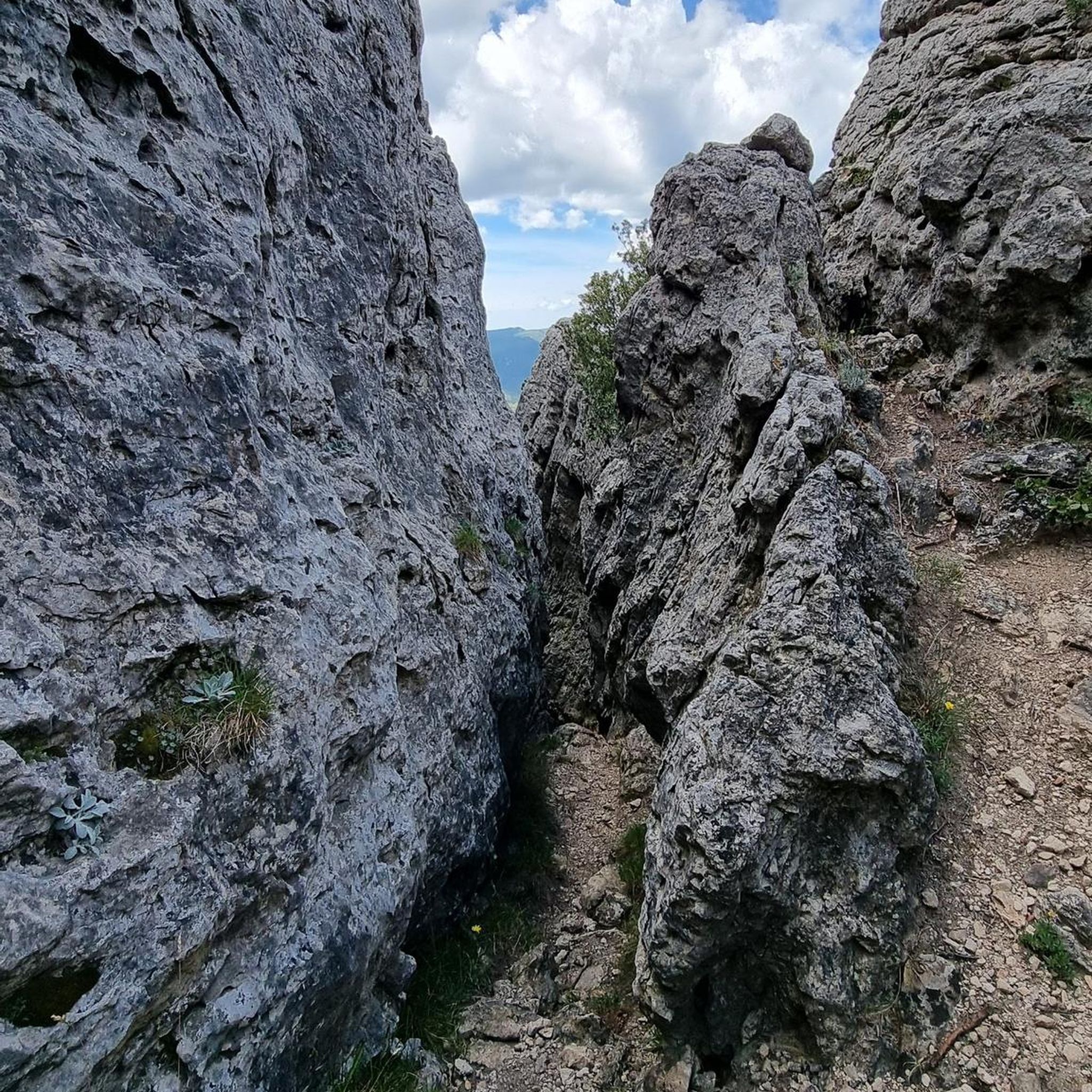
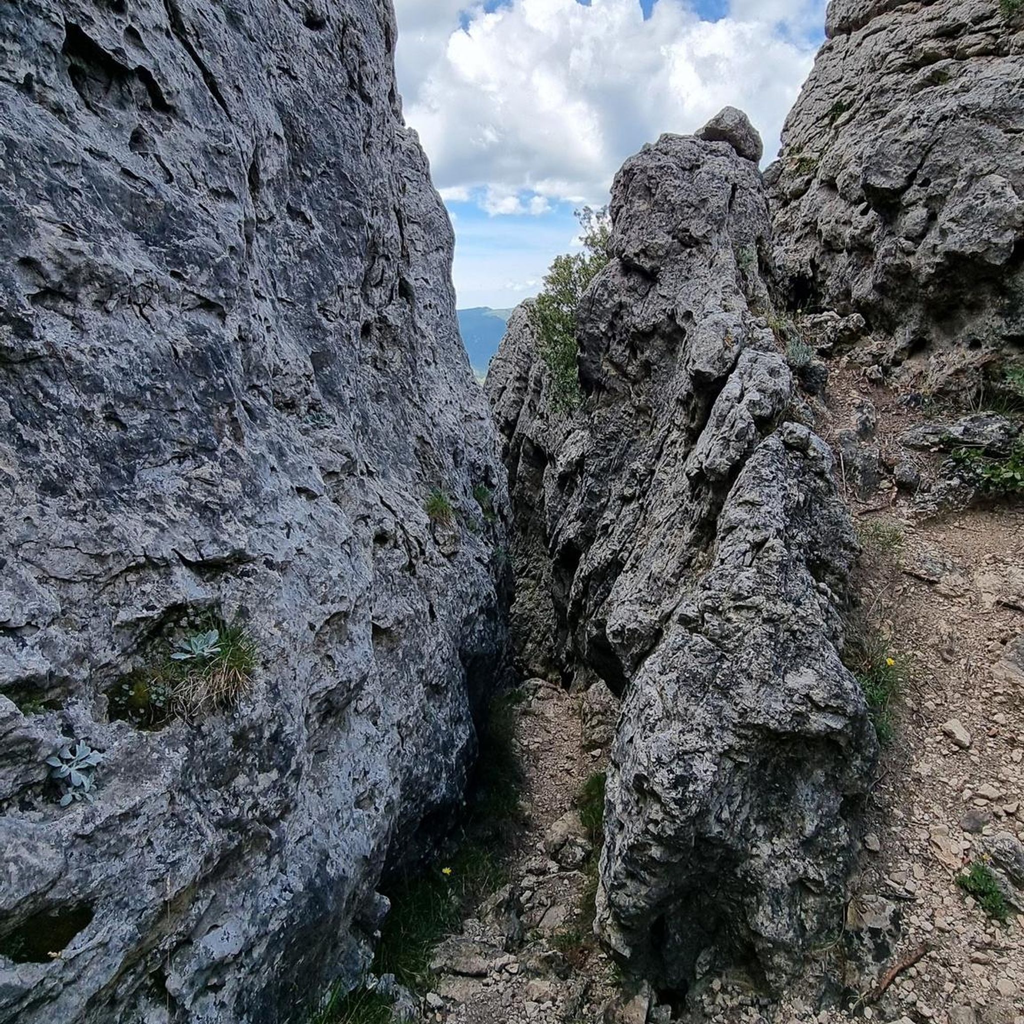
Forest paths along the Shimna river marked by many curiosities, both natural and artificial. Rocky outcrops, bridges, grottos and caves. Elsewhere in the park the tree lover can find exotic trees such as monkey puzzle and eucalyptus, or admire the tall giant redwoods and Monterey pines. Oak wood from Tollymore was the preferred material for the interiors of the White Star liners including the 'Titanic' which was built in Belfast.
1
0

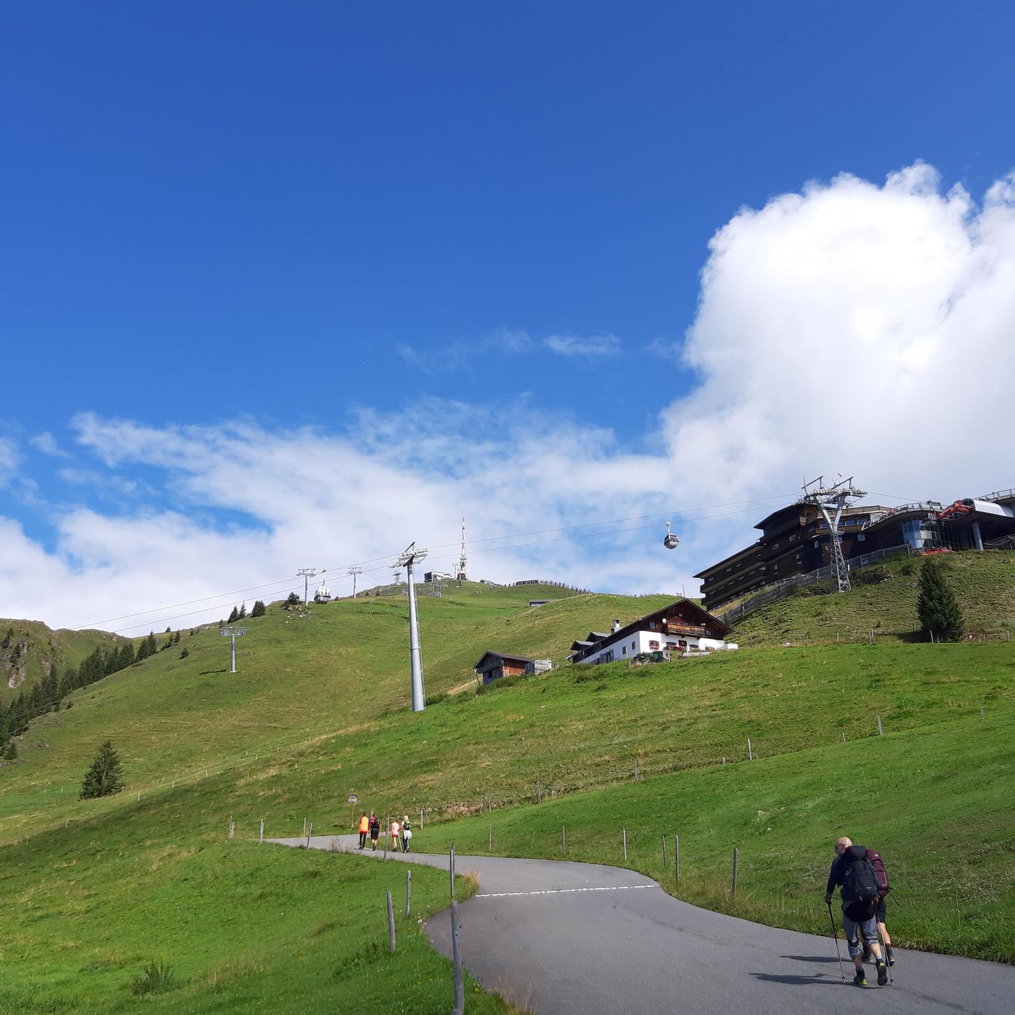
Good road surface with great views on all sides.
1
0

Great view of the Mourne Mountains and close to Tollymore Forest Park.
1
0


Fantastic views of the Mourne Mountains
0
0
Frequently Asked Questions
How many road cycling routes are available around Gransha?
There are over 40 road cycling routes available around Gransha, offering a wide range of options for different skill levels and preferences. The komoot community has explored these routes over 570 times, highlighting the area's popularity among cyclists.
What is the typical terrain like for road cycling around Gransha?
Road cycling around Gransha is characterized by rolling hills and agricultural landscapes. Routes often traverse quiet country roads, providing scenic views of the surrounding natural features and the nearby Mourne Mountains. You'll encounter varied elevations, from moderate climbs to gentler sections.
What is the best time of year for road cycling around Gransha?
The best time for road cycling around Gransha, and Northern Ireland in general, is typically from late spring through early autumn (May to September). During these months, you can expect milder weather, longer daylight hours, and generally drier conditions, making for a more enjoyable ride through the scenic countryside.
How challenging are the road cycling routes around Gransha?
The routes around Gransha offer a mix of challenges. You'll find options ranging from easy loops, such as The Yard Café loop from Rathfriland (28.8 km), to more moderate and challenging rides with significant elevation gain. For instance, the Spelga Reservoir Hill Climb – Trassey Road loop from Rathfriland is a moderate 53.1 km route with over 680 meters of ascent, providing a good workout.
Are there any circular road cycling routes around Gransha?
Yes, many of the road cycling routes around Gransha are designed as loops, allowing you to start and finish at the same point. Examples include the popular The Yard Café – Loughbrickland Crannóg loop from Rathfriland and the more challenging Climb by Rostrevor Forest loop from Rathfriland.
What interesting landmarks can I see along the road cycling routes around Gransha?
While cycling around Gransha, you can encounter several interesting landmarks and natural features. Keep an eye out for the historic Loughbrickland Crannóg, or enjoy scenic vistas like the View of Mourne Mountains from Yellow Road. The area also features remnants of its industrial past, such as the Lock Keeper's Cottage Ruins along the Newry Canal.
Are there any family-friendly road cycling options near Gransha?
For family-friendly cycling, routes with lower difficulty and less traffic are ideal. While the main guide focuses on road cycling, the broader region offers options like the Newry Canal Towpath, which provides a flatter, traffic-free environment suitable for families. When choosing road routes, look for those marked as 'easy' and consider the length and elevation profile.
What do other road cyclists enjoy most about cycling in Gransha?
The road cycling routes around Gransha are highly rated by the komoot community, with an average score of 5.0 stars from over 11 reviews. Cyclists often praise the quiet country roads, the scenic agricultural landscapes, and the varied terrain that offers both enjoyable climbs and gentler sections.
Are there any specific routes that offer significant climbs for experienced cyclists?
Yes, experienced cyclists looking for significant climbs will find challenging options. The Spelga Reservoir Hill Climb – Trassey Road loop from Rathfriland is a notable route, featuring over 680 meters of elevation gain over 53.1 km, providing a demanding ride with rewarding views towards Spelga Reservoir.
Where can I find parking for road cycling routes around Gransha?
Many road cycling routes around Gransha originate from towns like Rathfriland. You can typically find public parking facilities within these towns. For routes starting from specific points, it's advisable to check local signage for designated parking areas or consider parking in nearby villages and cycling to the trailhead.
Can I access road cycling routes around Gransha using public transport?
Accessing specific road cycling routes directly by public transport can vary. Major towns in the wider region, such as Newry or Bangor, are better connected by bus and train services. From these hubs, you might need to cycle to reach the starting points of routes around Gransha. It's recommended to check local bus schedules for services to smaller towns like Rathfriland, which serve as common starting points for many routes.
Are there any cafes or places to stop for refreshments along the road cycling routes?
Yes, several routes, such as The Yard Café – Loughbrickland Crannóg loop from Rathfriland and The Yard Café – Lackan Road loop from Rathfriland, are named after local establishments like The Yard Café, indicating convenient refreshment stops. Smaller towns and villages along the routes often have local cafes or pubs where you can take a break and refuel.
Most popular routes around Gransha
Most popular attractions around Gransha

Get inspired with the komoot mobile app


Explore more
Browse the best Road cycling routes in other regions.
