The best running trails around Hohenahr
4.7
(153)
1,021
runners
29
runs
Jogging routes around Hohenahr are set within the Lahn-Dill-Bergland Nature Park, offering a diverse landscape of gently rolling hills and lush green forests. The area is characterized by varied terrain, from developed forest paths to narrow trails, and includes significant natural features like the Aartalsee (Aartal Lake). This region provides a mix of elevations, with some ups and downs, alongside predominantly flat routes.
Best jogging routes around Hohenahr
- The most popular jogging route is Aartalsee Loop Trail – Aartal Reservoir…
Last updated: May 22, 2026
4.7
(122)
710
runners
Moderate run. Good fitness required. Mostly paved surfaces. Suitable for all skill levels.
5.0
(3)
98
runners
17.6km
01:51
140m
140m
Hard run. Very good fitness required. Mostly paved surfaces. Suitable for all skill levels.

Sign up for free
4.6
(24)
77
runners
Easy run. Great for any fitness level. Mostly paved surfaces. Suitable for all skill levels.
20
runners
11.5km
01:16
180m
180m
Moderate run. Good fitness required. Mostly paved surfaces. Suitable for all skill levels.
18
runners
Moderate run. Good fitness required. Mostly paved surfaces. Suitable for all skill levels.
Get access to more routes and recommendations from other explorers.
Sign up for free
Already have an account?
Our route recommendations are based on thousands of hikes, rides, and runs completed by other people on komoot.
Start today with a free account
Your next adventure awaits.
Login or Signup
Other adventures around Hohenahr

Tips from the Community

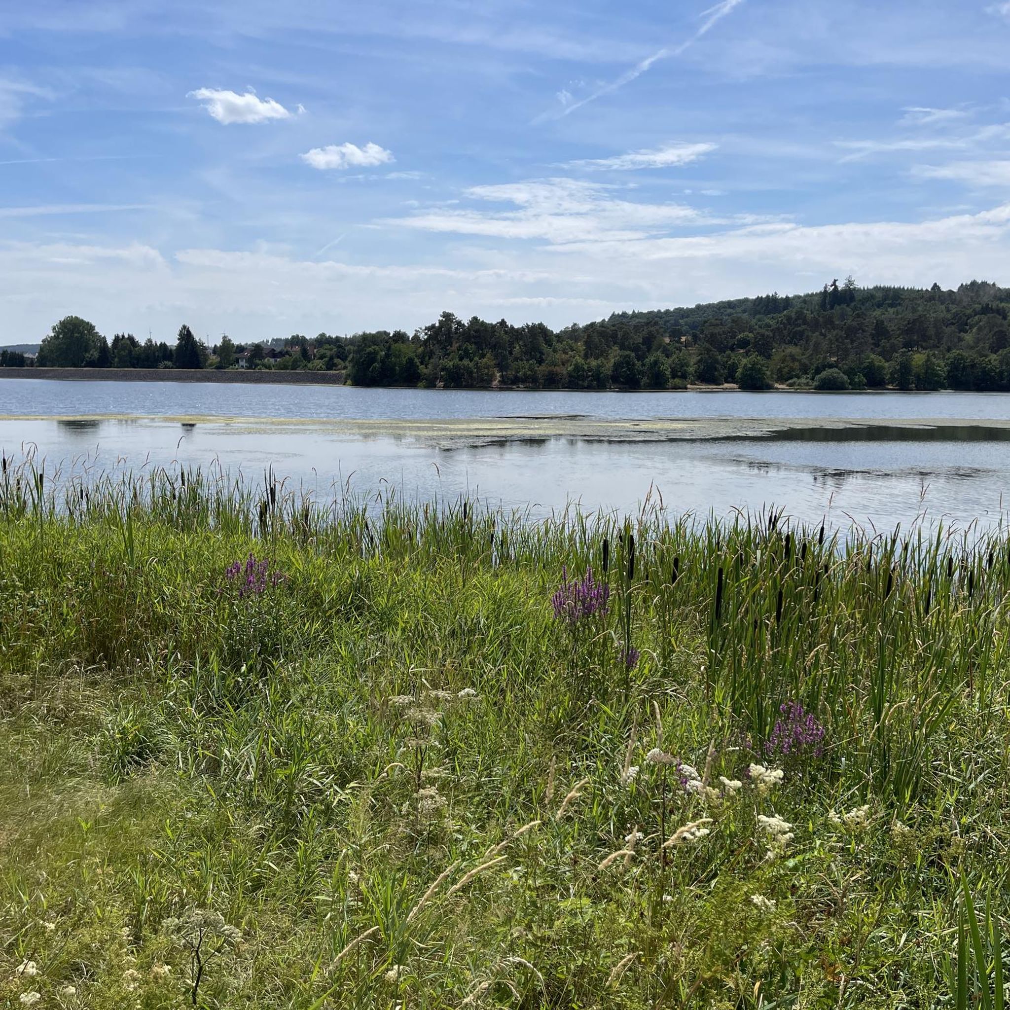
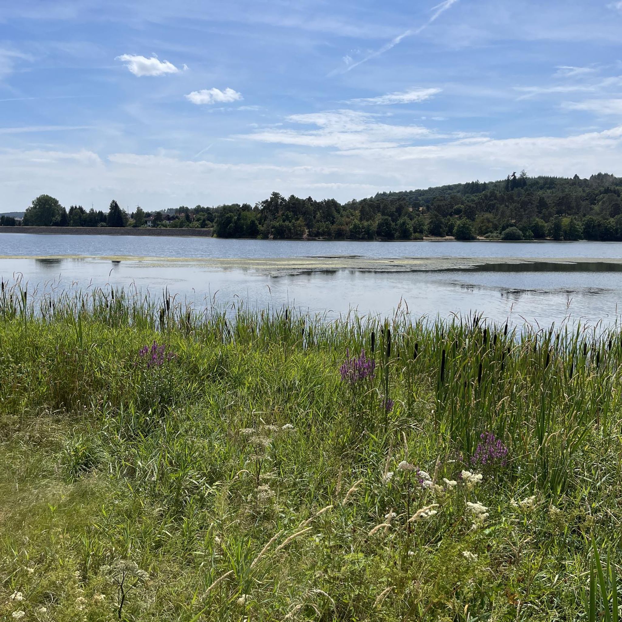
The Aartal reservoir was created in the 1990s for flood protection. It is mainly divided into 2 parts, with the forebay serving as a nature reserve. Thus, a huge protected area has been created here for all birds that like to stay in and around the water. Especially since the lake has the second largest water surface in Hesse.
1
0
Lake Aartalsee was created in the 1990s specifically for flood protection and is now a popular recreational area.
1
0
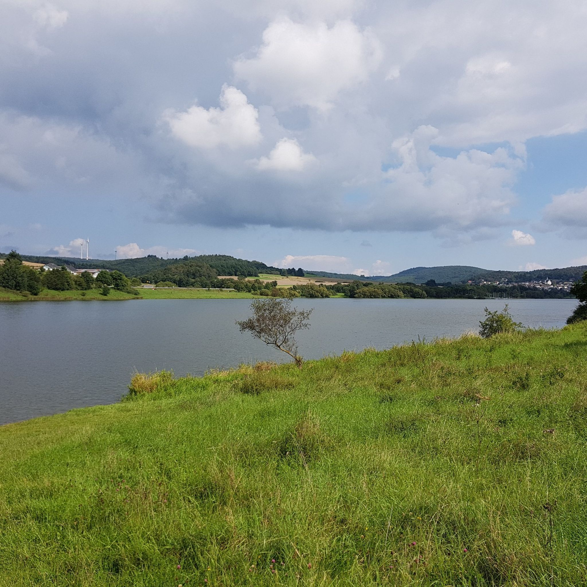
Beautifully situated, Niederweidbach directly on the opposite bank. An almost romantic view of the town can be seen from here.
1
0
Above the fore-dam there is another bridge. These 2 bridges and the dam are the only ways to change sides in the area of the Aartalsee.
1
0

Here you have a good view of the fore-dam of the Aartalsee - an official bird sanctuary.
1
0
One of many resting places at Aartalsee.
0
0
There is only a parking lot here.
0
0
View of Niederweidbach across the Aartalsee.
1
0
Frequently Asked Questions
How many running routes are available in Hohenahr?
Hohenahr offers a wide selection of running routes, with over 25 trails available for exploration. These routes cater to various fitness levels, ranging from easy loops to more challenging paths with varied terrain.
What kind of terrain can I expect on running trails in Hohenahr?
The running trails in Hohenahr, nestled within the Lahn-Dill-Bergland Nature Park, feature diverse terrain. You'll find a mix of gently rolling hills, lush green forests, and paths along the Aartalsee. The landscape includes developed forest paths, narrow trails, and offers both predominantly flat sections and routes with some ups and downs for varied challenges.
Are there running routes suitable for beginners in Hohenahr?
Yes, Hohenahr has several running routes perfect for beginners or those seeking a more relaxed pace. For instance, the Pfannenstiel Bench – Aartalsee nature reserve loop from Ahrdt is an easy 2.8 miles (4.5 km) trail that takes about 28 minutes to complete, leading through the scenic Aartalsee nature reserve.
What do other runners say about the trails in Hohenahr?
The running routes in Hohenahr are highly regarded by the komoot community, boasting an average rating of 4.7 stars from over 140 reviews. More than 1000 runners have used komoot to explore the varied terrain, often praising the scenic beauty, well-maintained paths, and the diverse options available for different ability levels.
Are there any scenic loop trails for running in Hohenahr?
Absolutely! The region is known for its beautiful circular routes. A popular choice is the Aartalsee Loop Trail – Aartal Reservoir Dam loop from Mudersbach, a moderate 4.7 miles (7.5 km) route offering magnificent panoramic views around the Aartal Reservoir Dam. Another option is the scenic circular route around Hohensolms, providing great panoramic views of the area.
Can I find challenging running routes with significant elevation in Hohenahr?
Yes, for runners looking for a challenge, Hohenahr offers routes with more significant elevation changes. While many routes feature gently rolling hills, there are 5 difficult routes available. The Aartalsee Loop Trail – Aartal Reservoir Dam loop from Altenkirchen, for example, is a difficult 10.9 miles (17.5 km) route with over 130 meters of elevation gain, providing a good workout.
Are there family-friendly running routes in Hohenahr?
Hohenahr offers several predominantly flat routes that are suitable for family outings or more relaxed jogs. The varied terrain ensures there are options that are less strenuous, allowing families to enjoy the fresh air and beautiful scenery together. The paths around the Aartalsee are generally well-suited for a family-friendly run.
What natural features or landmarks can I see along the running routes?
Hohenahr's running routes are rich with natural beauty and historical landmarks. You can enjoy breathtaking views of the Hohensolms Castle on routes like the Groß Altenstädter Heide – Hohensolms Castle loop from Hohensolms. The Aartalsee is a central feature, with routes circling the lake and passing through the Aartalsee nature reserve. Additionally, the region is situated between the Lahn and Dill rivers, offering picturesque paths along their banks.
Are there any historical sites or castles to explore near the running trails?
Yes, Hohenahr is surrounded by interesting historical sites and castles. Besides the prominent Hohensolms Castle, which is visible on some routes, you can also find the Gleiberg Castle ruins and Vetzberg Castle Ruins nearby. The area also has historical mining sites like the Grube Ypsilanta Mine Entrance.
When is the best time of year to go running in Hohenahr?
Hohenahr is appealing for running throughout the year due to its diverse natural beauty. Spring is particularly lovely when countless cherry trees blossom, creating a vibrant display. In autumn, the colorful foliage offers a stunning visual experience. The well-maintained trails and varied terrain make it suitable for outdoor pursuits in any season.
Are there any longer distance running trails in Hohenahr?
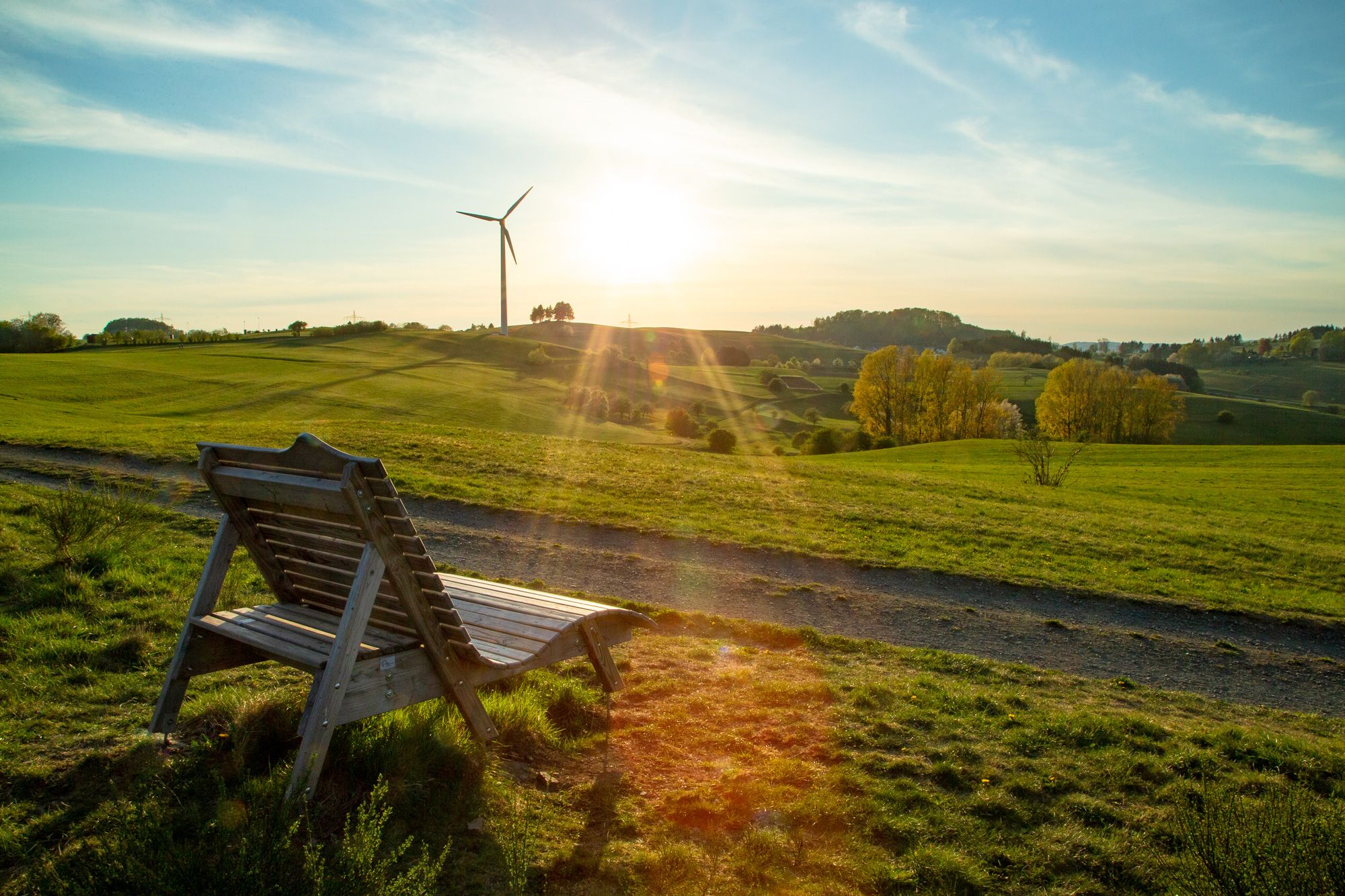
For those seeking longer runs, Hohenahr offers several extended routes. The Lounge chair at Aartalsee – Aartal Reservoir Dam loop from Hohenahr is a moderate 9.3 miles (14.9 km) trail, and the Aartalsee Loop Trail – Aartal Reservoir Dam loop from Altenkirchen stretches for 10.9 miles (17.5 km), providing ample distance for endurance training.
Most popular routes around Hohenahr
Most popular attractions around Hohenahr

Get inspired with the komoot mobile app


Explore more
Browse the best Running Trails & Routes in other regions.
