The best walks and hikes around Burrenbane
4.6
(944)
8,127
hikers
188
hikes
Hiking around Burrenbane offers access to varied terrain, including dense woodlands, river trails, and mountain ascents. The region is characterized by its forest parks and proximity to the Mourne Mountains, providing diverse options for outdoor exploration. Trails often feature established paths through forests and along rivers, with some routes leading to higher elevations.
Best hiking trails around Burrenbane
- The most popular hiking route is Tollymore Forest River Trail — Mourne, an easy 3.8 miles (6.1 km) trail that takes…
Last updated: August 21, 2026
4.7
(44)
401
hikers
6.08km
01:41
110m
110m
The Tollymore Forest River Trail offers an easy hike through diverse woodlands and along the Shimna River in the Mourne Mountains area. This picturesque route covers 3.8 miles (6.1 km)…
4.6
(67)
204
hikers
14.3km
04:09
370m
380m
Embark on the Tollymore Forest Park – Mountain and Drinns Trail, a moderate hike that takes you through diverse and picturesque scenery. You will cover 8.9 miles (14.3 km) with…

Sign up for free
4.9
(24)
211
hikers
10.1km
02:51
230m
230m
Moderate hike. Good fitness required. Easily-accessible paths. Suitable for all skill levels.
4.8
(11)
131
hikers
Easy hike. Great for any fitness level. Easily-accessible paths. Suitable for all skill levels.
4.8
(4)
38
hikers
22.2km
07:39
930m
930m
Hard hike. Very good fitness required. Mostly accessible paths. Sure-footedness required.
Get access to more routes and recommendations from other explorers.
Sign up for free
Already have an account?
Our route recommendations are based on thousands of hikes, rides, and runs completed by other people on komoot.
Start today with a free account
Your next adventure awaits.
Login or Signup

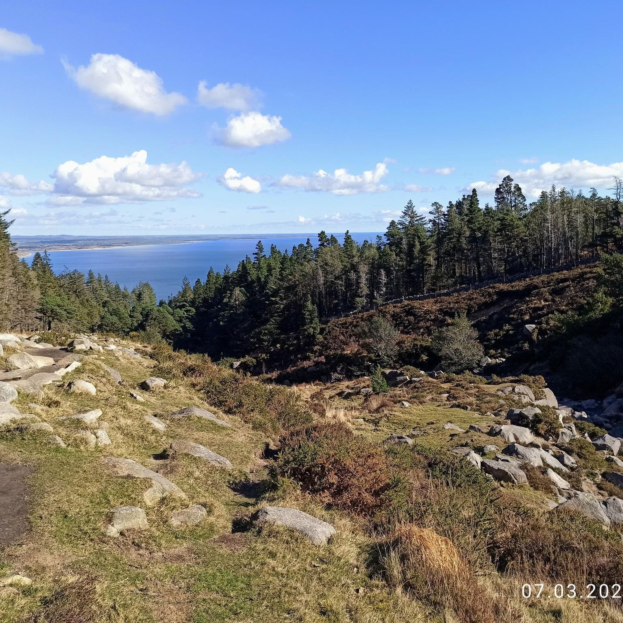
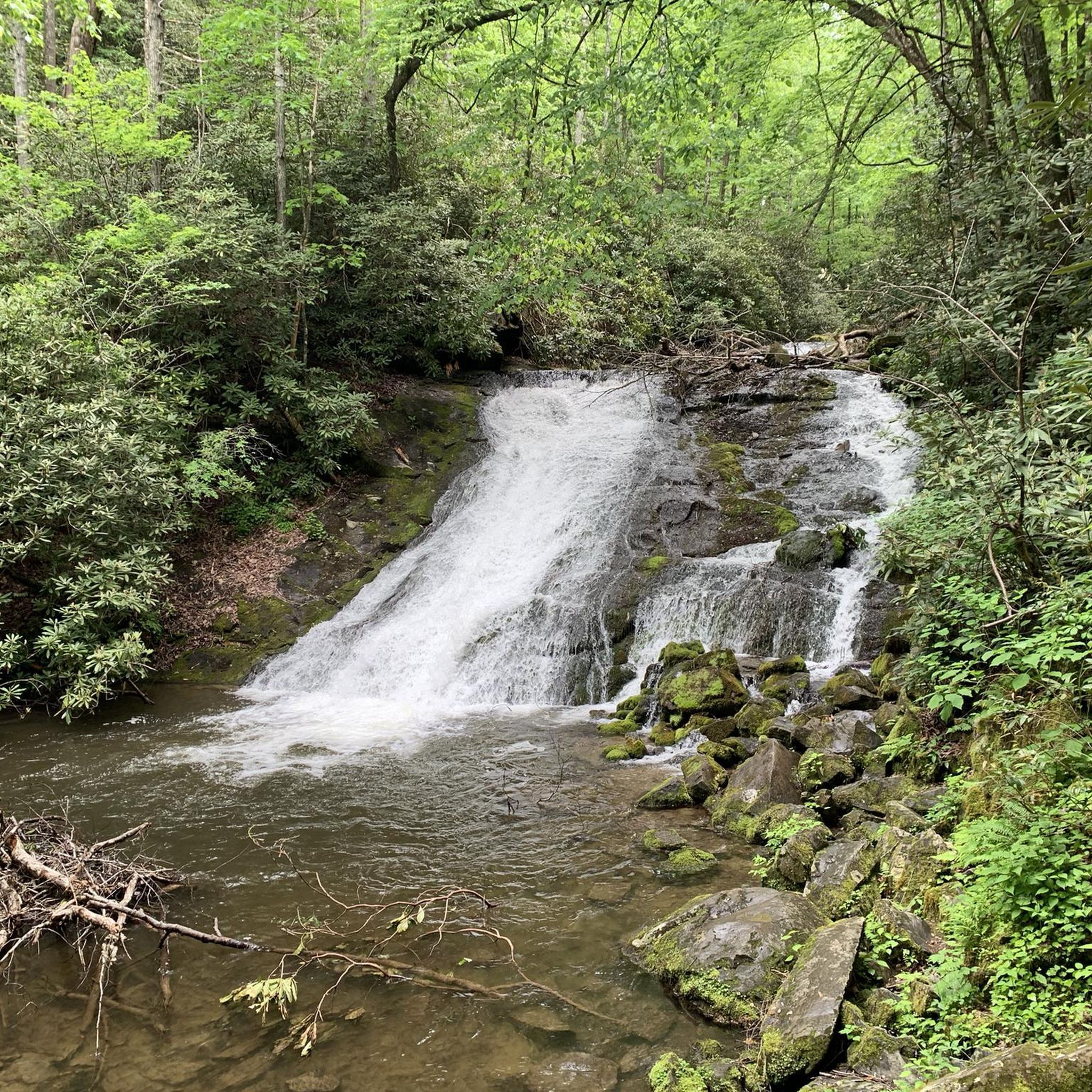
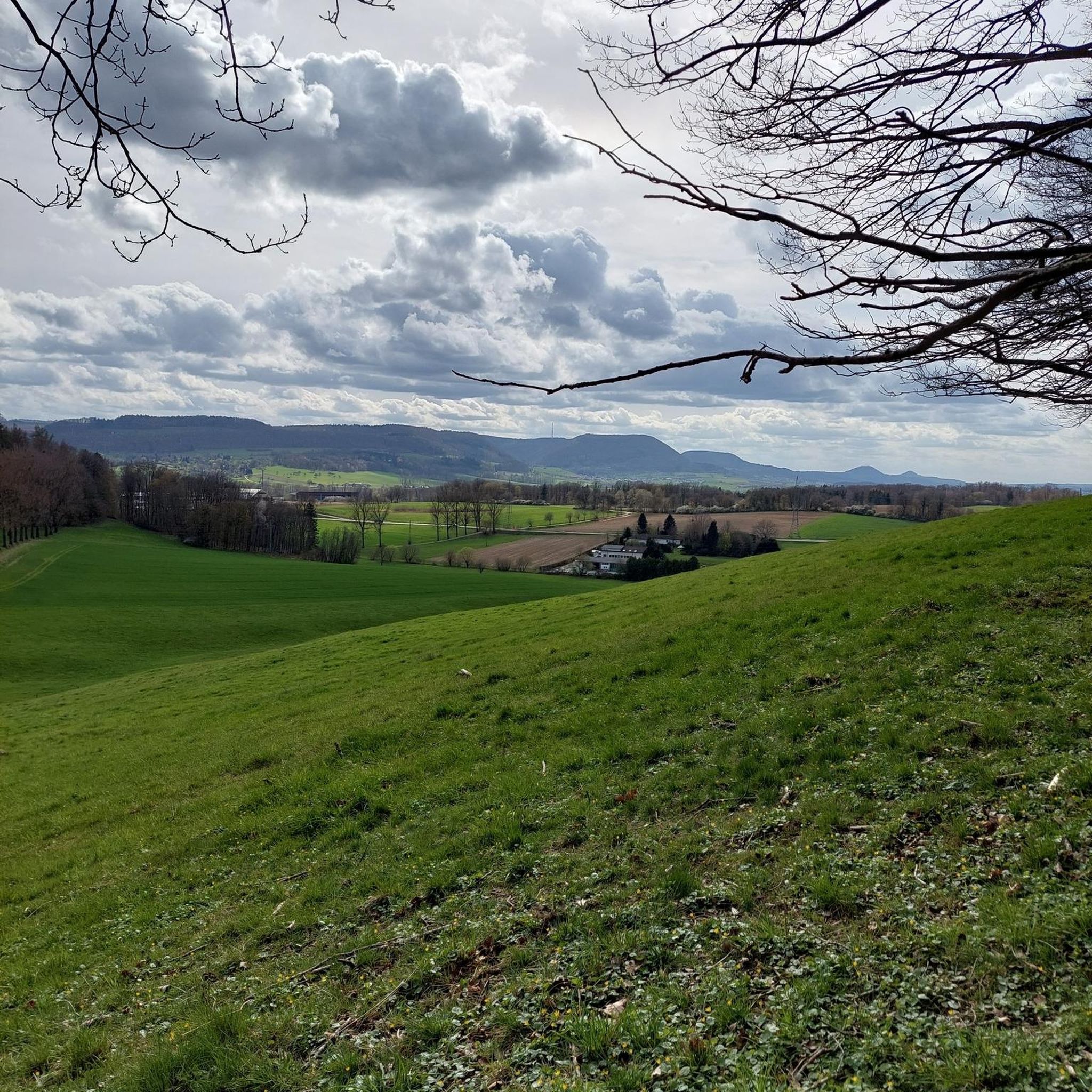
Tips from the Community

Wikipedia (Tollymore Forest Park, 2026-08-15): https://en.m.wikipedia.org/wiki/Tollymore_Forest_Park “... The Ivy Bridge was built in 1780 and Foley's Bridge in 1787. …”
2
0
FACEBOOK (History of Newcastle, Co. Down, Hore's Bridge, 2026-08-15): https://www.facebook.com/HistoryofNewcastleCo.Down/photos/hores-bridge-over-the-spinkwee-river-sw-tollymore-was-built-in-1824-the-date-is-/754755631362196/ “… Hore's Bridge over the Spinkwee River, SW Tollymore, was built in 1824. …”
1
0
Wikipedia (Tollymore Forest Park, 2026-08-14): https://en.m.wikipedia.org/wiki/Tollymore_Forest_Park “... Parnell Bridge, named in recognition of Sir John Parnell who visited Tollymore in the late 18th century, was constructed in 1842. It was the last stone bridge to be built in Tollymore. …”
2
0
Wikipedia (Tollymore Forest Park, 2026-08-14): https://en.m.wikipedia.org/wiki/Tollymore_Forest_Park “... The Hermitage is a small stone shelter designed by James Hamilton (2nd Earl of Clanbrassil) in the 1770s in memory to his friend the John Montagu, Marquess of Monthermer. It is built into the side of the gorge above the river and was used as a place for ladies to shelter while the men fished. There is an inscription in Greek within the Hermitage which translates as "Clanbrassil, to his very dear friend Monthermer 1770". …”
2
0
Wikipedia (Tollymore Forest Park, 2026-08-14): https://en.m.wikipedia.org/wiki/Tollymore_Forest_Park “... Horn Bridge crosses a small culverted burn (stream) and is crossed by a gravel road. The burn below the bridge is covered with a board walk connected to a path. It was built c.1770 by either the 1st or 2nd Earl. ...”
1
0

Hare's Gap is a dramatic mountain pass nestled in the heart of the Mourne Mountains. This striking pass, situated between Slieve Bearnagh and Slievenaglogh, offers hikers a blend of natural beauty and historical intrigue. From this vantage point, hikers are treated to panoramic views of the surrounding peaks and valleys. The pass itself is historically significant, having once served as a route for smuggling goods across the mountains, adding a layer of intrigue to the hike. Hare's Gap is a popular starting point for various hikes, including ascents of Slieve Bearnagh and Slieve Meelmore.
2
0
Hare’s Gap is one of the most iconic passes in the Mourne Mountains, marked by its rugged stile and dramatic views that open up across the range. Once a historic smuggling route, it remains a natural gateway into the high Mournes, with steep paths and striking rock formations framing the way. From here, the landscape unfolds in every direction, making it a perfect spot to pause, take in the scenery, and appreciate the wild beauty of these mountains.
4
0

The park has no entry fee, you only have to pay 5 £ for parking.
1
0
Frequently Asked Questions
How many hiking trails are available around Burrenbane?
Burrenbane offers a wide selection of hiking routes, with nearly 200 trails to explore. These range from easy strolls through woodlands to more challenging ascents in the mountain foothills.
What types of terrain can I expect on hikes near Burrenbane?
Hiking around Burrenbane features diverse terrain, primarily characterized by dense woodlands, scenic river trails, and mountain ascents. Many routes are found within forest parks, offering established paths and varied forest scenery, with some leading to higher elevations near the Mourne Mountains.
What do other hikers enjoy most about the trails in Burrenbane?
The trails in Burrenbane are highly rated by the komoot community, with an average score of 4.6 stars from over 800 reviews. More than 7,000 hikers have used komoot to explore the area, often praising the well-maintained forest paths, tranquil river valleys, and the variety of options for different ability levels.
Are there easy hiking trails suitable for beginners or families in Burrenbane?
Yes, Burrenbane has 77 easy hiking routes perfect for beginners or family outings. A popular choice is the Tollymore Forest River Trail — Mourne, an easy 3.8-mile (6.1 km) path that follows the Shimna River, offering a pleasant and accessible experience.
Are there any circular walks available in Burrenbane?
Many trails in Burrenbane are designed as circular routes, allowing you to start and finish at the same point. An example is the Tollymore Forest Park – Shimna River Waterfall loop from Bryansford, which takes you through forest and past waterfalls.
Can I find trails with waterfalls in Burrenbane?
Yes, several trails in Burrenbane feature waterfalls. The Tollymore Forest Park – Shimna River Waterfall loop from Bryansford is a notable route that leads through the forest and past beautiful waterfalls along the Shimna River.
What are some notable viewpoints or landmarks I can see on hikes around Burrenbane?
Hiking around Burrenbane offers access to several impressive viewpoints and landmarks. You can find trails leading to mountain peaks like Slieve Bearnagh and the Summit of Slieve Donard, offering panoramic vistas. The historic Mourne Wall is also a significant feature you might encounter on longer routes.
Are there any challenging hikes for experienced trekkers?
For experienced hikers, Burrenbane offers 25 difficult routes. A challenging option is the Summit of Slieve Donard – Tollymore Forest Park loop from Bryansford, which involves significant elevation gain and covers a distance of over 22 km.
What is the typical duration for hikes in Burrenbane?
Hike durations in Burrenbane vary widely depending on the route's length and difficulty. Easy trails like the Tollymore Forest River Trail — Mourne can take around 1 hour 41 minutes, while moderate paths such as the Tollymore Forest Park – Mountain and Drinns Trail might take over 4 hours. Longer, difficult routes can extend to 7 hours or more.
Is wildlife spotting possible on trails in Burrenbane?
Given the region's dense woodlands and river valleys, Burrenbane offers opportunities for wildlife spotting. Hikers may encounter various bird species and other local fauna, particularly in areas like Tollymore Forest Park, which provides diverse habitats.
Are there any trails that explore the higher sections of Tollymore Forest Park?
Yes, the Tollymore Forest Park – Mountain and Drinns Trail is a moderate 8.9-mile (14.3 km) path specifically designed to explore the higher sections of Tollymore Forest Park, offering varied forest scenery and more elevated views.
Most popular attractions around Burrenbane

Get inspired with the komoot mobile app


Explore more
Browse the best Hikes in other regions.
