The best cycling routes around Drumnabreeze
4.8
(11)
183
riders
49
rides
Touring cycling around Drumnabreeze offers diverse landscapes, from the rolling terrain of the Sperrin Mountains to tranquil loughs and ancient woodlands. The region is characterized by varied elevations, providing routes suitable for different cycling abilities. Natural features include the Drumnaph Nature Reserve, with its ancient woodland and wetlands, and Moor Lough, a peaceful lakeside environment. The Grillagh River also flows through parts of the area, adding to the scenic routes.
Best touring cycling routes around Drumnabreeze
- The most popular touring…
Last updated: August 21, 2026
3
riders
28.4km
01:50
110m
110m
Easy bike ride. Great for any fitness level. Mostly paved surfaces. Suitable for all skill levels.
4.0
(1)
4
riders
30.5km
01:59
140m
140m
Easy bike ride. Great for any fitness level. Mostly paved surfaces. Suitable for all skill levels.

Sign up for free
1
riders
50.3km
03:09
420m
420m
Moderate bike ride. Good fitness required. Mostly paved surfaces. Suitable for all skill levels.
4.6
(5)
57
riders
73.2km
04:14
300m
300m
Moderate bike ride. Good fitness required. Mostly paved surfaces. Suitable for all skill levels.
7
riders
54.1km
03:12
260m
260m
Moderate bike ride. Good fitness required. Mostly paved surfaces. Suitable for all skill levels.
Get access to more routes and recommendations from other explorers.
Sign up for free
Already have an account?
Our route recommendations are based on thousands of hikes, rides, and runs completed by other people on komoot.
Start today with a free account
Your next adventure awaits.
Login or Signup
Tips from the Community

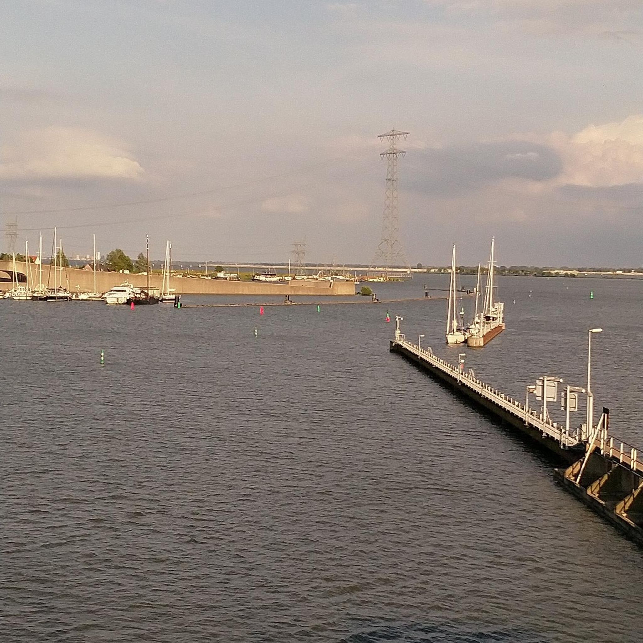
The entrance to Lisnamintry Rath (located on Ballygargan Road, near Portadown) is the gateway to one of the few officially protected archaeological monuments in this part of County Armagh. A rath is an early medieval fortified farmstead (c. 500–1000 AD) that formerly offered protection to families and their livestock against raiders. Not visible from the road.
1
0

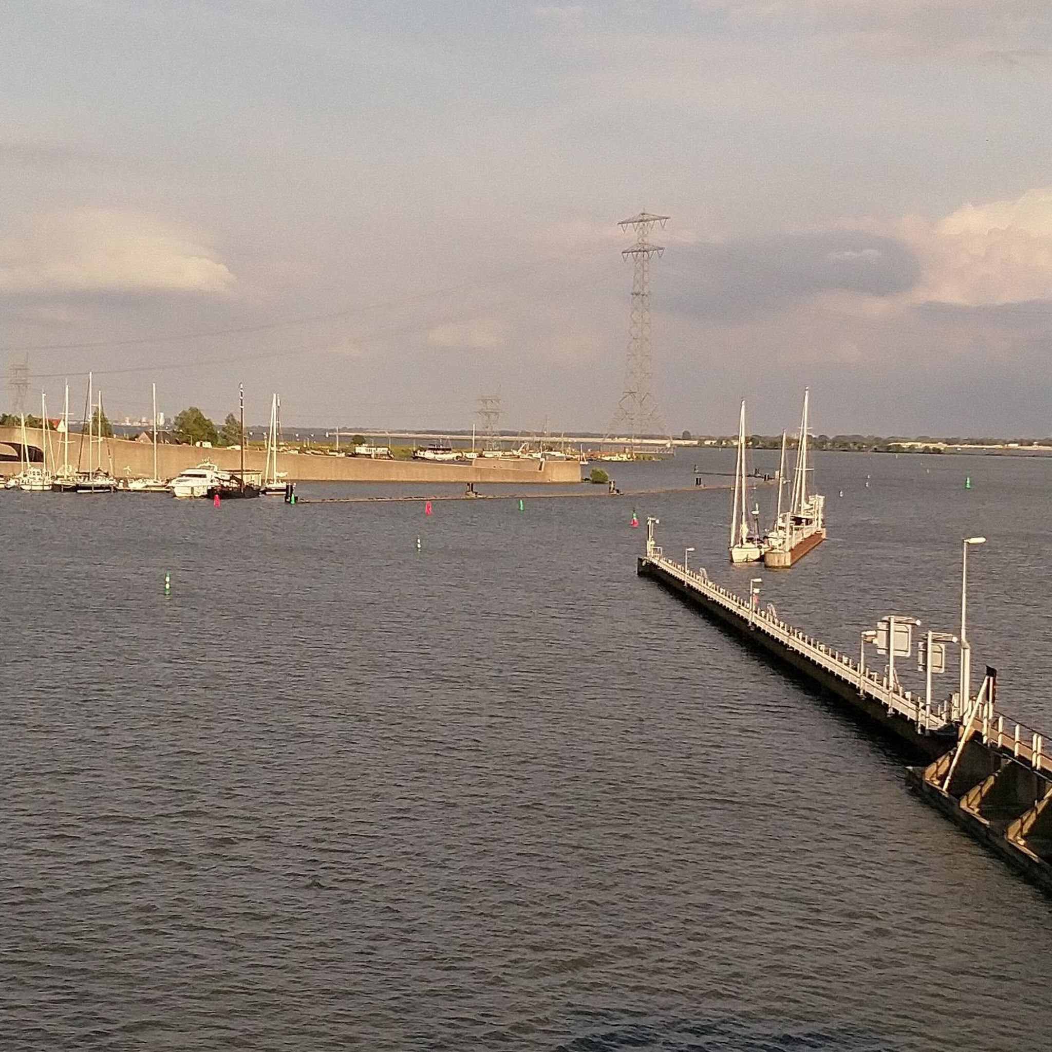
If your Crashing at the Campsite this is a quick walk away for a Pint 'n' Grub or just passing '2 Derryola Bridge Rd, Aghalee, Craigavon BT67 0DJ' '02892651764'
0
0
somewhere to drop a tent or bivvy if needed if your doing the whole lough loop plus a pub 5 min walk away a pint 'n' Grub if needed :). Fair Acres Campsite '1C Boghead Bridge Rd, Aghalee, Craigavon BT67 0DL' '07710744989' Toilet and shower facilities for reviews see site- https://www.ukcampsite.co.uk/sites/reviews.asp?revid=15198
1
0

Cycle and pedestrian bridge over the Lagan
1
0

The bridge is named after Captain John Shaw of Oliver Cromwell's army, who built an oak bridge here in 1655. A stone bridge was built by Thomas Burgh in 1691, although this was destroyed by flooding, which led to it being replaced by the present bridge in 1709.
3
0


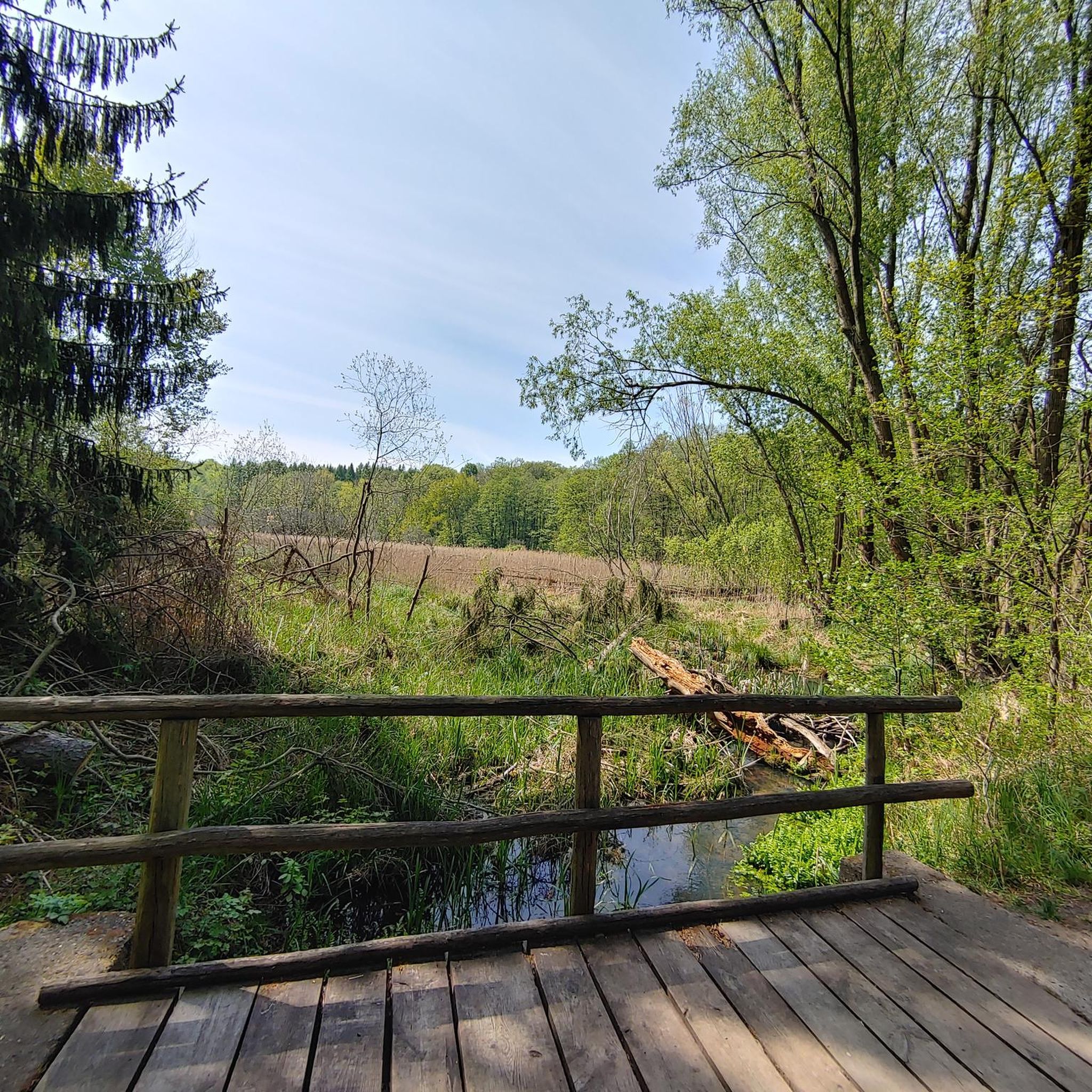
The path, which is part of National Cycle Route 9, offers a peaceful atmosphere that is ideal for relaxed bike rides - but walkers, joggers and dog owners also appreciate the route. The contrast between the quiet river and the partially flooded sections that can appear after heavy rain is particularly exciting. Sometimes the path leads directly to the water, and it almost seems as if the Lagan wants to reclaim a bit more space. The trees are reflected in the calm waters, which creates an almost mystical atmosphere in cloudy weather. Another highlight are the small, branching mountain bike trails that bring a bit of adventure to the tour. If you want a change and don't just want to follow the river, these trails offer a welcome change.
1
0
The path, which is part of National Cycle Route 9, offers a peaceful atmosphere that is ideal for relaxed bike rides - but walkers, joggers and dog owners also appreciate the route. The contrast between the quiet river and the partially flooded sections that can appear after heavy rain is particularly exciting. Sometimes the path leads directly to the water and it almost seems as if the Lagan wants to reclaim a bit more space. The trees are reflected in the calm waters, which creates an almost mystical atmosphere in cloudy weather. Another highlight are the small, branching mountain bike trails that bring a bit of adventure to the tour. If you want a change and don't just want to follow the river, these trails offer a welcome change.
0
0
Frequently Asked Questions
How many touring cycling routes are available around Drumnabreeze?
There are over 50 touring cycling routes available around Drumnabreeze, offering a wide range of options for different skill levels and preferences. The komoot community has used these routes over 200 times to explore the varied terrain.
What kind of terrain can I expect on touring cycling routes in Drumnabreeze?
The Drumnabreeze area, nestled within the Sperrin Mountains, offers diverse terrain. You can expect rolling mountain landscapes, tranquil loughs, and ancient woodlands. Routes vary from gentle paths around areas like Moor Lough to more challenging climbs within the Sperrins, providing options for all abilities.
What is the best time of year for touring cycling in Drumnabreeze?
While cycling is possible year-round, the spring and summer months (roughly April to September) generally offer the most favorable weather conditions for touring cycling in Drumnabreeze. During these seasons, you'll typically find milder temperatures and longer daylight hours, making for more enjoyable rides through the varied landscapes.
What do other cyclists say about the touring routes in Drumnabreeze?
The touring cycling routes in Drumnabreeze are highly regarded by the komoot community, boasting an average rating of 4.7 out of 5 stars from over 10 reviews. Cyclists often praise the scenic beauty, the variety of terrain, and the opportunity to explore natural features like the Drumnaph Nature Reserve and Moor Lough.
Are there touring cycling routes suitable for beginners in Drumnabreeze?
Yes, Drumnabreeze offers several easy touring cycling routes perfect for beginners. For example, the Loughshore trail route 2 — Moira loop is an easy 17.7-mile (28.4 km) trail that takes about 1 hour 50 minutes to complete, offering pleasant views around the loughshore.
Can I find challenging touring cycling routes in Drumnabreeze?
Yes, for experienced touring cyclists seeking a challenge, Drumnabreeze has routes with more significant elevation changes, particularly within the Sperrin Mountains. While specific 'difficult' routes are fewer, many moderate routes, like the Moira to Lisnamintry loop, offer varied terrain and longer distances that can provide a good workout.
Are there any circular touring cycling routes in Drumnabreeze?
Many of the touring cycling routes around Drumnabreeze are designed as loops, allowing you to start and finish at the same point. Examples include the popular Loughshore trail route 2 — Moira loop and the longer Shaw's Bridge – Lagan Towpath loop from Moira, which offers riverside paths.
What natural features and landmarks can I see along the touring cycling routes?
The Drumnabreeze area is rich in natural beauty and historical sites. You can explore the ancient woodlands and wetlands of the Drumnaph Nature Reserve, enjoy the peaceful setting of Moor Lough, or cycle through the scenic Sperrin Mountains. Nearby attractions include the Craigavon Lakes and the Wave Sculptures Overlooking Lough Neagh. The Lough Neagh Discovery Centre is also a point of interest.
Are there family-friendly touring cycling options in Drumnabreeze?
Yes, Drumnabreeze offers family-friendly touring cycling options, particularly on the easier, flatter routes. The Loughshore trail route 2 — Moira loop is a good example, providing a relatively flat and scenic ride suitable for families. Areas around Moor Lough also offer gentle paths ideal for a leisurely family outing.
Are dogs allowed on the touring cycling routes in Drumnabreeze?
While specific rules can vary by location, many public paths and trails in the Drumnabreeze area, including those suitable for touring cycling, generally welcome well-behaved dogs on a leash. It's always advisable to check local signage or specific reserve guidelines, such as those for Drumnaph Nature Reserve, to ensure compliance.
Where can I find parking facilities for cyclists in Drumnabreeze?
Parking facilities for cyclists are typically available at popular starting points for routes, especially near significant attractions or trailheads. For instance, areas around Moor Lough are known to have public facilities, which often include parking. It's recommended to check specific route descriptions on komoot for details on parking at the start of your chosen tour.
Are there any cafes or pubs along the touring cycling routes for a break?
While specific cafes and pubs directly on every route may vary, the Drumnabreeze region, with its historic villages like Newtownstewart, offers opportunities for refreshment. Planning your route to pass through or near these villages will allow you to find places to stop for a break, a meal, or a drink.
What is the average duration of a touring cycling route in Drumnabreeze?
The duration of touring cycling routes in Drumnabreeze varies significantly based on distance and difficulty. Easy routes, like the Loughshore trail route 2 — Moira loop (17.7 miles), can take around 1 hour 50 minutes. Longer, moderate routes, such as the Lough Neagh Shoreline – Bartin's Bay loop from Moira (33.4 miles), might take over 3 hours. Always check the estimated duration for your chosen route on komoot.
Most popular attractions around Drumnabreeze

Get inspired with the komoot mobile app


Explore more
Browse the best Cycling routes in other regions.
