The best walks and hikes around Kilminioge
4.3
(15)
493
hikers
16
hikes
Hiking around Kilminioge features a landscape characterized by gentle terrain, with routes often following parkland paths and riverside trails. The region's low elevation gains indicate mostly flat walking experiences. Water features, such as lakes and broad waters, are common elements along the hiking trails. The area offers accessible routes suitable for various activity levels.
Best hiking trails around Kilminioge
- The most popular hiking route is Pavilion in the Park loop from Lurgan, a 3.3 miles (5.4 km) trail that…
Last updated: May 15, 2026
73
hikers
5.36km
01:22
20m
20m
Easy hike. Great for any fitness level. Easily-accessible paths. Suitable for all skill levels.
50
hikers
4.73km
01:13
20m
20m
Easy hike. Great for any fitness level. Easily-accessible paths. Suitable for all skill levels.

Sign up for free
5.0
(4)
18
hikers
Moderate hike. Good fitness required. Easily-accessible paths. Suitable for all skill levels.
5.0
(1)
15
hikers
5.15km
01:18
10m
10m
Easy hike. Great for any fitness level. Easily-accessible paths. Suitable for all skill levels.
13
hikers
3.25km
00:50
10m
10m
Easy hike. Great for any fitness level. Easily-accessible paths. Suitable for all skill levels.
Get access to more routes and recommendations from other explorers.
Sign up for free
Already have an account?
Our route recommendations are based on thousands of hikes, rides, and runs completed by other people on komoot.
Start today with a free account
Your next adventure awaits.
Login or Signup

Tips from the Community

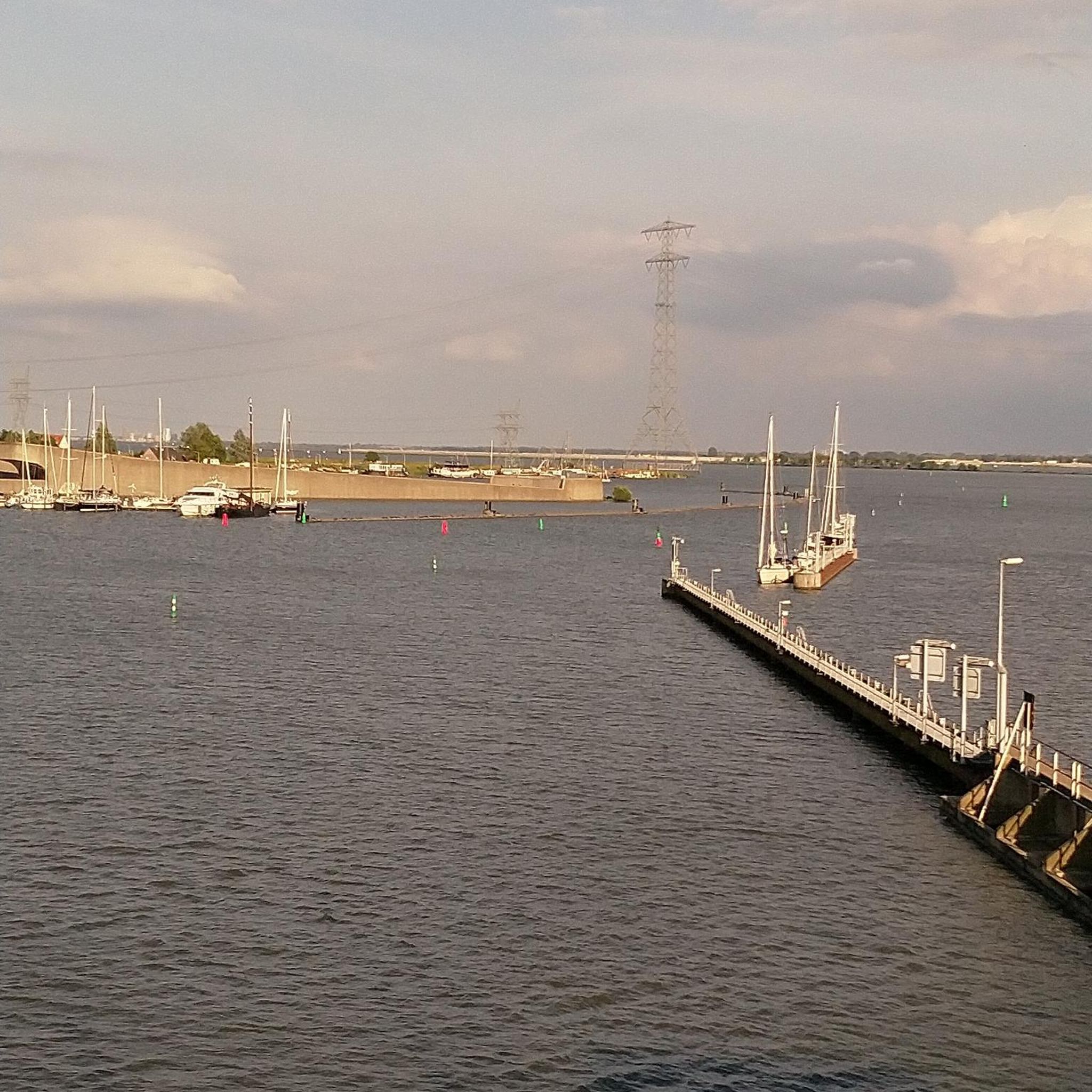
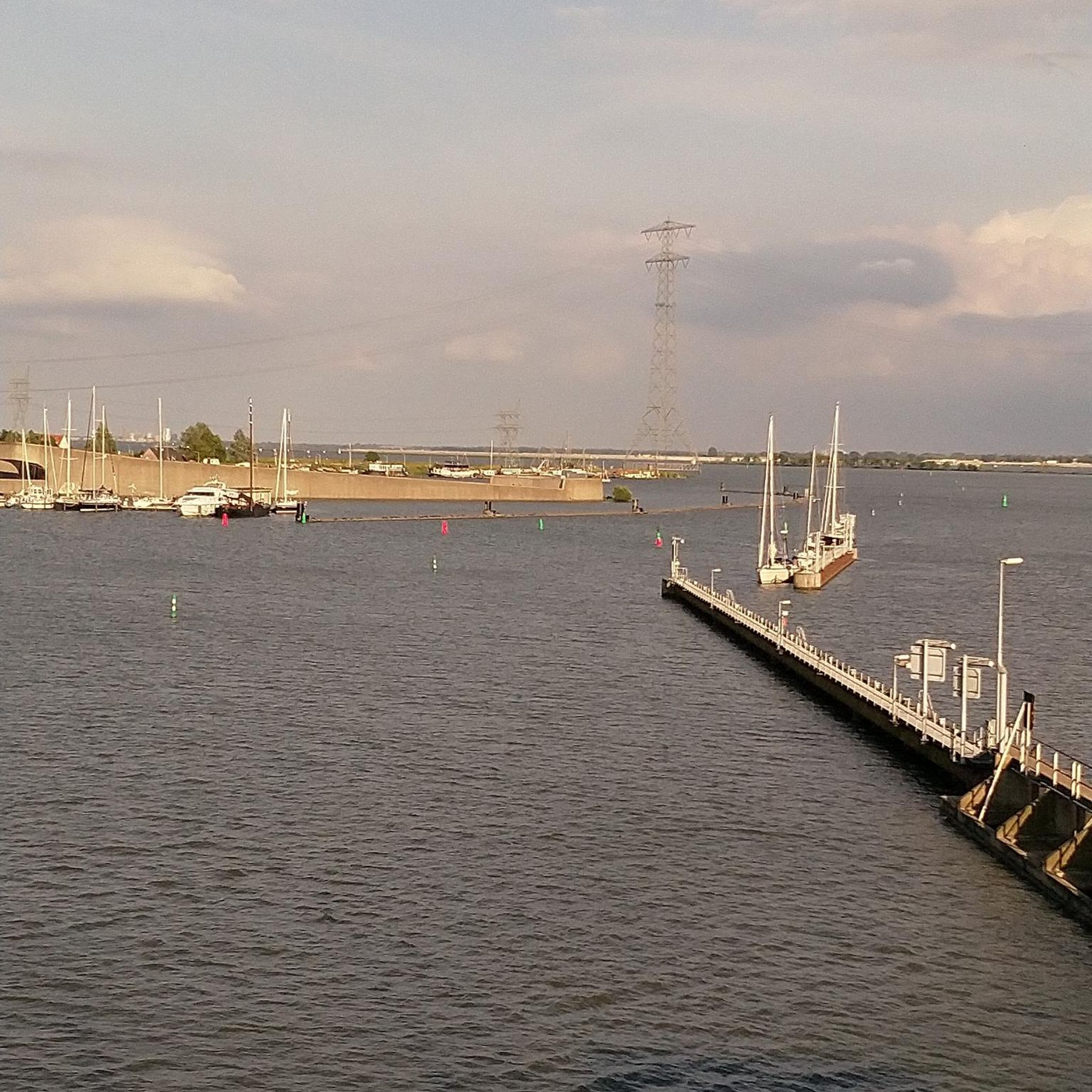
This meandering bicycle path glides on through from the station, you get a chance to catch a moment, get into your rhythm by the waters edge.
1
0

A pretty lake with a lovely path for cycling / walking around. The lake is also popular with anglers.
1
0
Frequently Asked Questions
How many hiking trails are available in Kilminioge?
Kilminioge offers a selection of 16 hiking trails. The majority of these, 14 to be exact, are rated as easy, making the area very accessible for various skill levels.
Are the hiking trails in Kilminioge suitable for families with children?
Yes, Kilminioge is an excellent area for family-friendly hikes. The terrain is generally gentle with low elevation gains, and many routes follow parkland paths and riverside trails. Most of the 16 available trails are rated as easy, providing comfortable options for all ages.
Can I find circular walks around Kilminioge?
Yes, many of the hiking routes in Kilminioge are circular. For example, the Pavilion in the Park loop from Lurgan is an easy 3.3-mile (5.4 km) trail exploring parkland and water features. Another option is the Broad Water Cycle Path loop from Moira, an easy 3.2-mile (5.1 km) route.
What natural sights or landmarks can I see while hiking in Kilminioge?
The Kilminioge area is rich in water features and green spaces. You can explore places like the Craigavon Lakes, or enjoy the tranquility of Lurgan Park Lake. The Broad Water Cycle Path also offers scenic views along the riverside.
Are there hiking trails that feature lakes or rivers in Kilminioge?
Absolutely. Kilminioge's landscape is characterized by its water features. Routes often follow riverside trails and paths around lakes. The Pavilion in the Park – Lurgan Park Lake loop from Lurgan is a great example, offering flat paths around a lake. Another option is the Broad Water Cycle Path – Broad Water Riverside Path loop from Moira, which leads through scenic riverside areas.
What are the typical lengths of hiking trails in Kilminioge?
Hiking trails in Kilminioge vary in length, catering to different preferences. You'll find shorter, easy routes like the Lurgan Park Lake – Pavilion in the Park loop from Lurgan, which is about 2 miles (3.3 km). For a longer walk, the Broad Water Cycle Path – Broad Water Riverside Path loop from Moira extends to 6.3 miles (10.1 km).
What do other hikers say about the trails in Kilminioge?
The hiking trails in Kilminioge are highly regarded by the komoot community, holding an average rating of 4.4 out of 5 stars from over 20 reviews. Hikers often praise the accessible, flat paths and the pleasant scenery of parklands and water features.
When is the best time of year to go hiking in Kilminioge?
Given the gentle terrain and prevalence of parkland and riverside paths, hiking in Kilminioge is enjoyable throughout much of the year. Spring and summer offer lush greenery and pleasant temperatures, while autumn brings beautiful foliage. Even in winter, many of the flat, well-maintained paths remain accessible.
Are dogs allowed on the hiking trails in Kilminioge?
Many parkland and riverside trails in Kilminioge are generally dog-friendly, though it's always best to keep dogs on a leash, especially in areas with wildlife or near livestock. Specific rules may apply in certain parks or nature reserves, so look for local signage.
Is it possible to reach hiking trails in Kilminioge using public transport?
While specific public transport options vary by starting point, many of the trails in Kilminioge are located near towns like Lurgan and Moira, which may have bus services. It's advisable to check local bus routes and schedules to plan your journey to the trailheads.
What kind of gear should I bring for hiking in Kilminioge?
For hiking in Kilminioge, comfortable walking shoes or light hiking boots are recommended, especially for the parkland and riverside paths. Depending on the weather, layers of clothing, a waterproof jacket, and a water bottle are always good to have. Sun protection is also advisable during warmer months.
Are there any moderate hiking options in Kilminioge for those seeking a bit more challenge?
While most trails in Kilminioge are easy, there are a couple of moderate options for those looking for a slightly longer walk. The Broad Water Cycle Path – Broad Water Riverside Path loop from Moira is a 6.3-mile (10.1 km) trail that offers a good distance for a moderate outing.
Most popular attractions around Kilminioge

Get inspired with the komoot mobile app


Explore more
Browse the best Hikes in other regions.
