The best walks and hikes around Broadbridge Heath
4.4
(525)
3,670
hikers
30
hikes
Hiking around Broadbridge Heath offers a network of trails characterized by generally flat or gently undulating terrain. The landscape primarily features agricultural fields, local paths, and sections of former railway lines, such as the Downs Link Trail. Low elevation changes across the area make it suitable for accessible walks. The region provides opportunities to explore the local countryside and connect with nearby villages.
Best hiking trails around Broadbridge Heath
- The most popular hiking route is Shelley Cycle Path – Hay Bales Field loop from Broadbridge Heath, a moderate 7.7 miles (12.4 km) trail that takes 3 hours 14 minutes to complete. This route explores the local countryside, passing through open fields and along designated paths.
- Another top favourite among local hikers is Floodgates Bridge – Uphill to the Roundabout loop from Broadbridge Heath, an easy 2.6 miles (4.2 km) path. This trail offers a shorter option, navigating local roads and paths with minimal elevation gain.
- Local hikers also love the Warnham Gates – Shop loop from Broadbridge Heath, a 4.6 miles (7.4 km) trail leading through local lanes and open areas, often completed in about 1 hour 53 minutes.
- Hiking around Broadbridge Heath is defined by open fields, sections of the Downs Link Trail, and local village connections. The network offers options for different ability levels, from easy strolls to moderate longer routes.
- The routes in Broadbridge Heath are highly rated by the komoot community with an average score of 4.6 stars from over 16 reviews. More than 190 hikers have used komoot to explore Broadbridge Heath's varied terrain.
Last updated: October 5, 2026
4.8
(5)
9
hikers
12.2km
03:11
90m
100m
Moderate hike. Good fitness required. Easily-accessible paths. Suitable for all skill levels.
10
hikers
Easy hike. Great for any fitness level. Easily-accessible paths. Suitable for all skill levels.

9
hikers
7.41km
01:54
30m
30m
Easy hike. Great for any fitness level. Easily-accessible paths. Suitable for all skill levels.
11
hikers
3.27km
00:51
20m
20m
Easy hike. Great for any fitness level. Easily-accessible paths. Suitable for all skill levels.
16
hikers
Hard hike. Very good fitness required. Easily-accessible paths. Suitable for all skill levels.
Get access to more routes and recommendations from other explorers.
Already have an account?
Our route recommendations are based on thousands of hikes, rides, and runs completed by other people on komoot.
Start today with a free account
Your next adventure awaits.
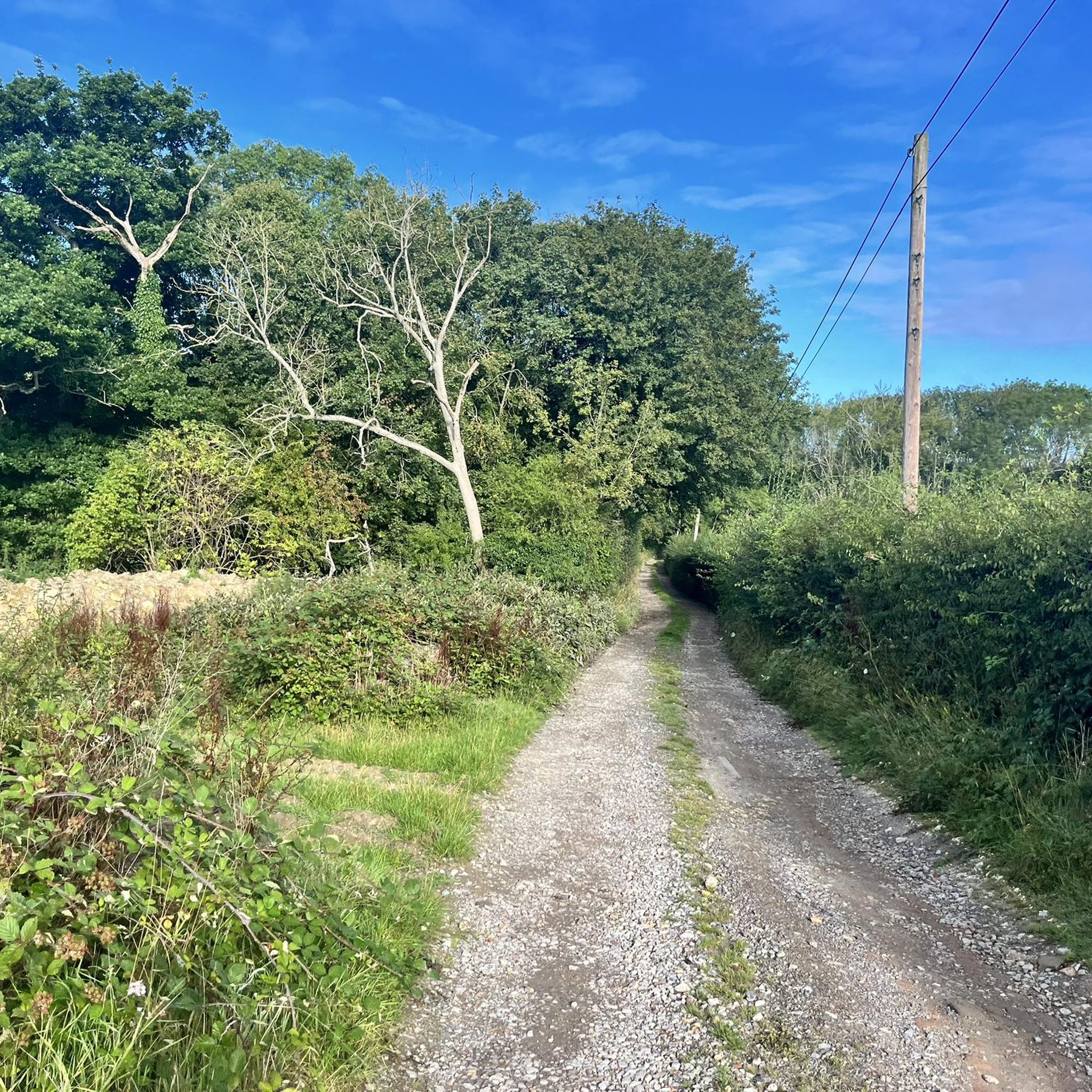
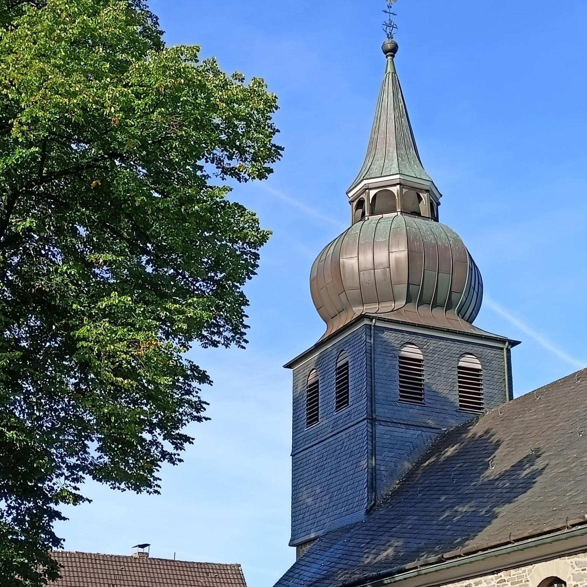
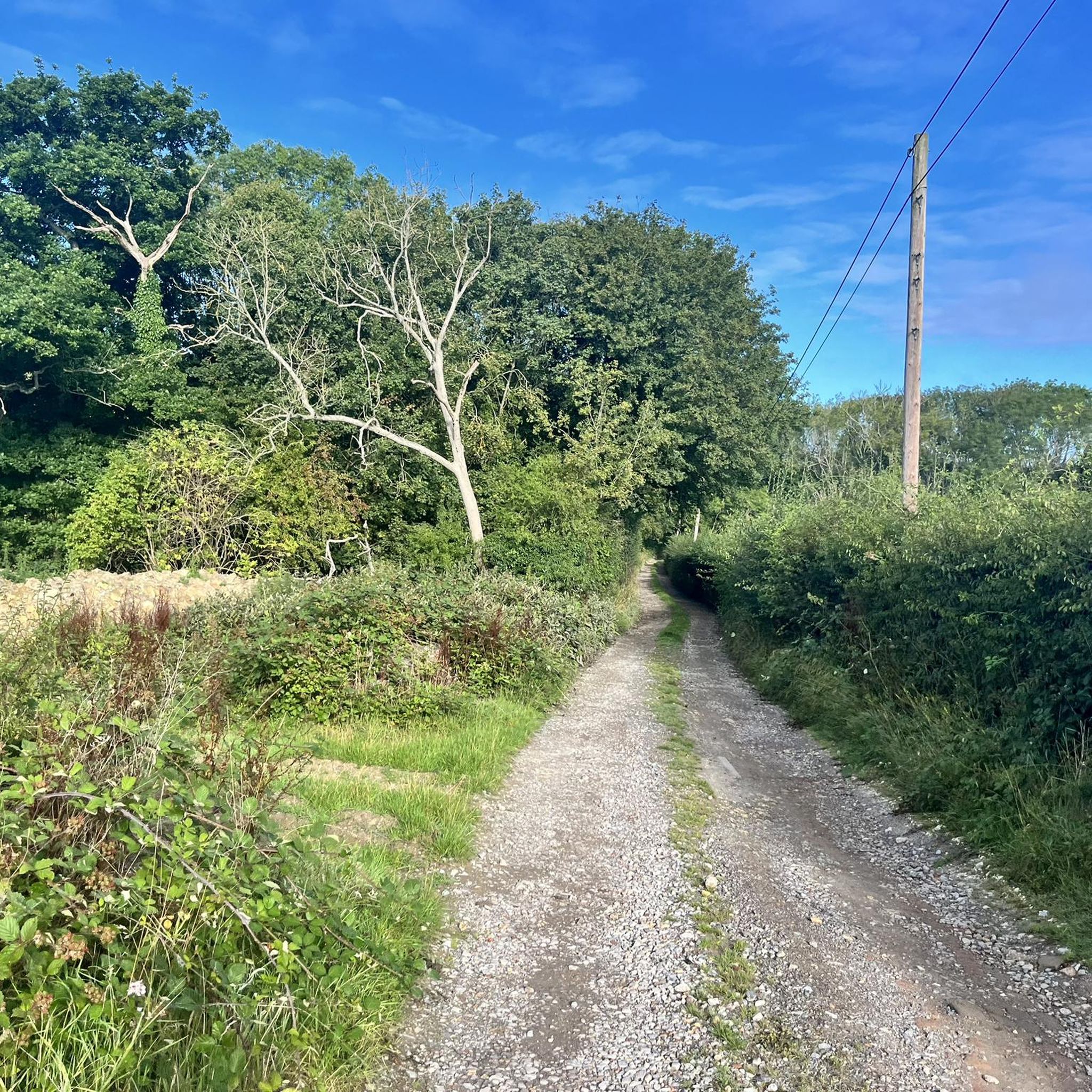
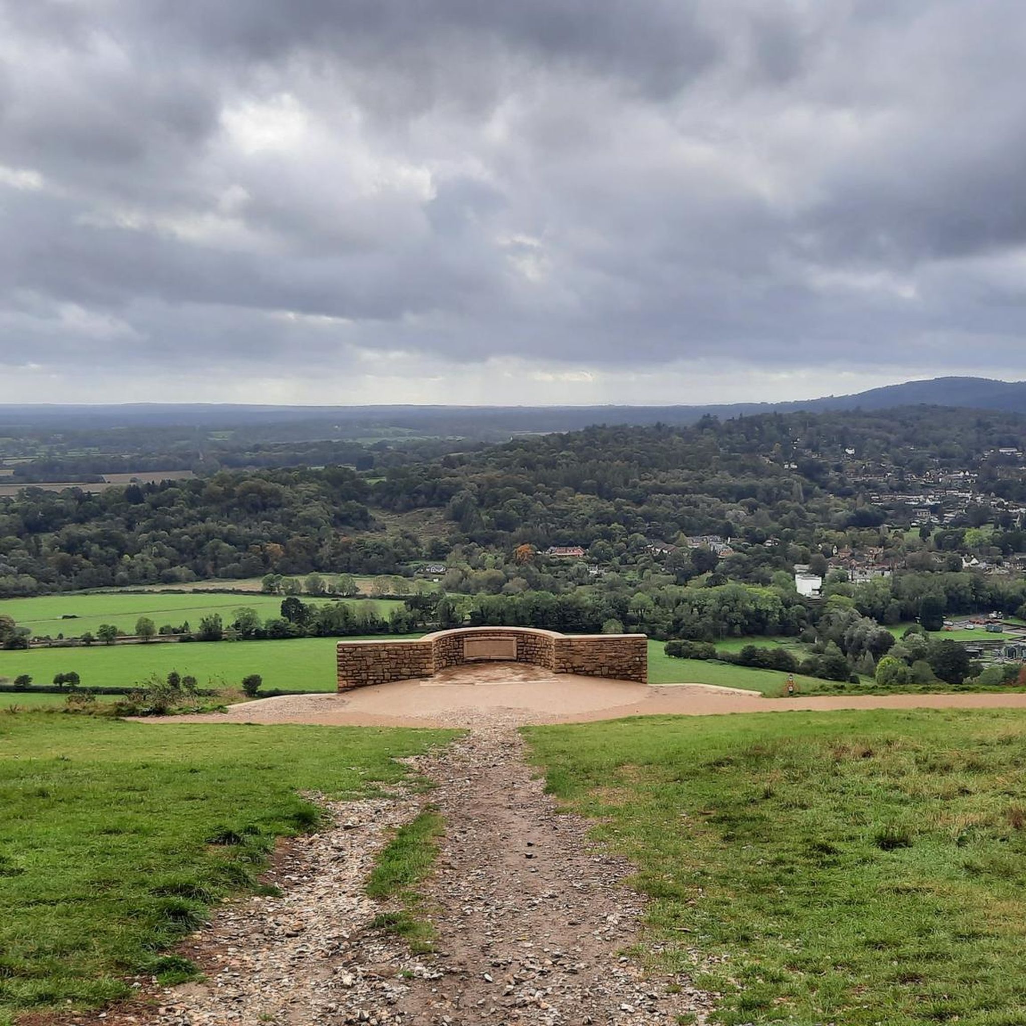

Tips from the Community


A must for its large garden in the summer, or the enormous fireplace in the winter, and the fantastic Mad Dog (from the menu) at any time of the year!
0
0
Percy Bysshe Shelley was christened here but they don’t acknowledge it as he became an atheist, amongst many other great things!
0
0

Shelley Cycle Path was opened in 2022 to honour the poet Percy Bysshe Shelley. It's 6 miles in total but please note the trail is one way only!
1
0

The old St Mark's church was founded in 1841, with girls' and boys' schools adjacent to the building. The building was almost entirely rebuilt in 1871, and the chancel was extended in 1888. Following the redevelopment of Horsham town centre the church was mostly demolished, although the church spire was saved and can be seen in the town centre.
0
0
St. Mary the Virgin is the oldest existing building in Horsham. Originally a Norman church occupied the spot and remains of this church are to be found in the tower, the west door and the north- west wall. A new church dedicated to St. Mary the Virgin, was completed in about 1247
0
0

Otherwise, start at the Denne Road Car park (A), though you'll need to pay for that
0
0
Free parking if you choose the correct bay - some are free for all day apart from between 2-4pm, so just time your walk carefully!
0
0
Frequently Asked Questions
How many hiking trails are available around Broadbridge Heath?
Broadbridge Heath offers a selection of over 30 hiking routes. These trails primarily feature easy to moderate difficulty levels, with 19 easy routes and 11 moderate routes, making the area accessible for various fitness levels.
Are there any easy or beginner-friendly hiking trails in Broadbridge Heath?
Yes, Broadbridge Heath is well-suited for beginners, with 19 easy-grade routes. A good option is the Floodgates Bridge – Uphill to the Roundabout loop from Broadbridge Heath, which is a shorter 2.6-mile (4.2 km) path with minimal elevation gain, navigating local roads and paths.
What are some good circular walks near Broadbridge Heath?
Many routes in the area are circular. For a moderate option, consider the Plate Pictures – Shop loop from Broadbridge Heath, which covers 5.4 miles (8.7 km) through local lanes and open areas. Another popular choice is the Warnham Gates – Shop loop from Broadbridge Heath, a 4.6-mile (7.4 km) trail.
Are the hiking trails in Broadbridge Heath suitable for families with children?
Yes, the generally flat or gently undulating terrain and low elevation changes make many trails in Broadbridge Heath suitable for families. The abundance of easy routes means you can find paths that are manageable for younger hikers. Consider the shorter, easy loops for a family-friendly outing.
Can I bring my dog on the hiking trails in Broadbridge Heath?
Many of the local paths and agricultural fields around Broadbridge Heath are suitable for dog walking. However, always be mindful of livestock in fields and keep dogs on a lead where necessary. It's advisable to check specific route details on komoot for any restrictions or recommendations regarding dogs.
What kind of scenery can I expect on a hike around Broadbridge Heath?
Hiking around Broadbridge Heath offers views of agricultural fields, local countryside, and sections of the historic Downs Link Trail. The landscape is characterized by open areas and connections to nearby villages, providing a pleasant rural experience with generally low elevation changes.
Are there any interesting landmarks or attractions to see along the trails?
While hiking, you might encounter historical sites like West Grinstead Station or Baynards Station. For scenic views, look out for Shipley Windmill or the Knepp Wildland Tree Platform. You can also find natural highlights such as Southwater Country Park or Vann Lake Nature Reserve nearby.
Are there any routes that include a pub or cafe stop?
Yes, some routes offer opportunities for refreshments. The Downs Link Trail – Bax Castle Pub loop from Broadbridge Heath is a moderate 7.6-mile (12.2 km) trail that specifically includes a pub stop. Additionally, The Milk Churn Coffee Shop is a highlight in the area that could be incorporated into a walk.
What is the best season for hiking in Broadbridge Heath?
Broadbridge Heath's trails, characterized by open fields and local paths, are generally enjoyable throughout the year. Spring and summer offer lush greenery and longer daylight hours, while autumn provides scenic colors. Winter walks are also possible due to the low elevation changes, though paths might be muddier.
What do other hikers enjoy most about the trails in Broadbridge Heath?
The area is highly rated by the komoot community, with an average score of 4.6 stars from over 16 reviews. Hikers often praise the accessibility of the trails, the pleasant rural scenery, and the well-maintained paths that make for enjoyable walks through the local countryside.
Are there less crowded hiking options available in Broadbridge Heath?
While some routes are popular, the network of over 30 trails means you can often find quieter paths, especially on weekdays or by exploring some of the less-trafficked local loops. The region's focus on local countryside walks generally offers a more tranquil experience compared to major tourist hotspots.
What should I bring for a hike in Broadbridge Heath?
Given the varied terrain of agricultural fields and local paths, comfortable walking shoes or boots are recommended. Depending on the season, waterproofs might be advisable. Always carry water, and if you plan a longer hike, snacks are a good idea. A map or the komoot app is useful for navigation.
Most popular routes around Broadbridge Heath
Most popular attractions around Broadbridge Heath

Get inspired with the komoot mobile app


Explore more
Browse the best Hikes in other regions.
