The best road cycling routes around Ballymaginaghy
4.5
(19)
889
riders
94
rides
Road cycling around Ballymaginaghy offers a diverse landscape for riders, characterized by a mix of coastal roads, forested areas, and rolling hills. The region features routes that traverse alongside reservoirs and through historic village settings, providing varied terrain for different skill levels. Road cyclists can expect a combination of flat stretches and moderate climbs, with some routes featuring significant elevation gains. The area's road network connects natural beauty spots with cultural landmarks, making it suitable for exploration by bike.
Best…
Last updated: May 21, 2026
34
riders
Moderate road ride. Good fitness required. Mostly well-paved surfaces and easy to ride.
33
riders
52.6km
02:17
400m
400m
Moderate road ride. Good fitness required. Mostly well-paved surfaces and easy to ride.

Sign up for free
29
riders
87.7km
03:51
800m
800m
Moderate road ride. Good fitness required. Mostly well-paved surfaces and easy to ride.
26
riders
67.4km
02:58
660m
660m
Moderate road ride. Good fitness required. Mostly well-paved surfaces and easy to ride.
5.0
(1)
17
riders
74.8km
03:16
720m
720m
Moderate road ride. Good fitness required. Mostly well-paved surfaces and easy to ride.
Get access to more routes and recommendations from other explorers.
Sign up for free
Already have an account?
Our route recommendations are based on thousands of hikes, rides, and runs completed by other people on komoot.
Start today with a free account
Your next adventure awaits.
Login or Signup
Tips from the Community

Nice little cafe in the village of Scarva right alongside the Newry canal towpath, great for brekkie, lunch or just topping up the hydration.
0
0

Hollie Berrie is a good place for refreshments on the route at Scarva
0
1

A great little cafe set in the bike shop, with great coffee and a nice variety of sweet goodies.
0
0

The vast coastline stretches out endlessly before you, and the panorama with the majestic Mourne Hills in the background creates a scene that is hard to put into words. The gentle waves touching the sand and the silence of the surroundings make you feel the vastness and freedom of this place.
1
0
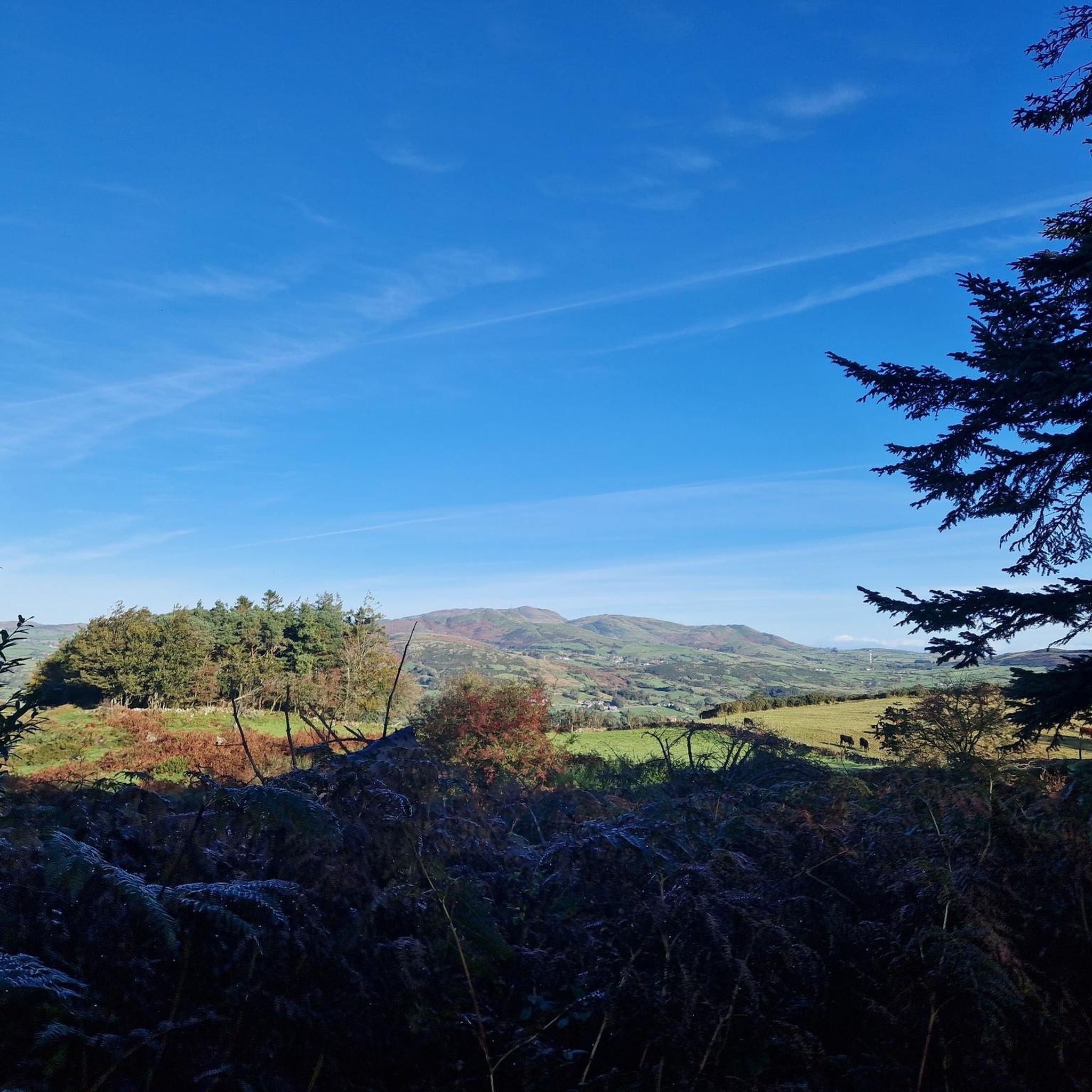
This historic 12th century building is a typical example of an Anglo-Norman motte with a kidney-shaped bailey. The 7.6m high mound, which once housed a wooden tower, was later replaced by a stone tower house, the ruins of which can still be seen today. Access is via Clough's main road; there is a small car park, but it is not always well signposted. Access is usually permitted. The surrounding countryside, with views of the Mourne Mountains, offers a tranquil atmosphere that invites you to linger.
1
0
The small town of Scarva, nestled between green meadows and the quiet canal, offers a welcome break on my bike tour through Northern Ireland. Here you cycle on well-maintained paths past historic bridges and small villages that give you the feeling that time has stood still. The British flags fluttering along the side of the road remind you that you are in a culturally special area - a detail that reflects the identity of the region. The route is easy to cycle, the surrounding landscape is gently rolling, which makes for pleasant cycling. The view of wide fields and rolling hills invites you to slow down now and then and take in the peace and quiet. A special feature of Scarva is the annual Orange Order March, which transforms the village into a kind of open-air stage once a year and keeps the traditions of this region alive.
1
0

The motte and bailey dates to c.1200 and is an excellent example of an Anglo-Norman earthwork castle. The taller mound, the motte, was built of earth to provide a look-out position and the central defence. Excavations at the top of the motte during the 1950s uncovered a wooden palisade which originally extended around the summit. When you climb the motte you realise what an important position the castle is in, over looking the routes east to Downpatrick, south to Dundrum and north to Belfast Lough. The views from the top of the motte west to Slieve Croob are particularly fine.
1
0

The perfect meeting spot to start any run in this area. From this point you can head either into Rostrevor village, out towards Killowen, into Kilbroney park or head north alongside the river.
1
0
Frequently Asked Questions
How many road cycling routes are available around Ballymaginaghy?
There are nearly 100 road cycling routes around Ballymaginaghy, offering a diverse range of options for different skill levels and preferences. This includes 10 easy routes, 70 moderate routes, and 16 difficult routes.
Are there road cycling routes suitable for beginners in Ballymaginaghy?
Yes, Ballymaginaghy offers 10 easy road cycling routes. These routes typically feature flatter stretches and less challenging climbs, making them ideal for those new to road cycling or looking for a more relaxed ride. The region's varied terrain ensures there are gentle options available.
What are the options for experienced road cyclists seeking a challenge?
For experienced road cyclists, Ballymaginaghy provides 16 difficult routes with significant elevation gains and longer distances. An example is the Climb by Rostrevor Forest – Spelga Reservoir Hill Climb loop from Castlewellan, which covers 37.6 miles (60.5 km) with over 880 meters of ascent, offering both a physical challenge and rewarding scenic views.
What kind of distances and elevations can I expect on road cycling routes in Ballymaginaghy?
Road cycling routes in Ballymaginaghy vary significantly. You can find moderate routes like the Clough Castle Ruins – Dundrum Castle loop from Castlewellan, which is 32.7 miles (52.6 km) with around 400 meters of elevation. More challenging routes, such as the Warrenpoint Shore Road – Climb by Rostrevor Forest loop from Castlewellan, can extend to 53.9 miles (86.9 km) with over 780 meters of climbing.
Are there any scenic viewpoints or landmarks along the road cycling routes?
Absolutely. Many routes offer stunning views of the region's natural beauty and historical sites. You might encounter highlights such as Slieve Bearnagh, Slieve Croob Summit, or the iconic Mourne Wall. Routes often traverse alongside reservoirs and through historic village settings, providing varied scenery.
What is the best time of year for road biking in Ballymaginaghy?
The spring and summer months (April to September) generally offer the most favorable conditions for road cycling in Ballymaginaghy, with milder temperatures and longer daylight hours. However, the region's diverse landscape can be enjoyed year-round, with autumn providing beautiful foliage and winter offering crisp, quiet rides, though conditions may be more challenging.
Are there any loop road cycling routes in Ballymaginaghy?
Yes, many of the road cycling routes in Ballymaginaghy are designed as loops, allowing you to start and finish at the same point. Examples include the Climb by Rostrevor Forest loop from Castlewellan, which is 67.4 km, and the Scarva Village – The Yard Café loop from Castlewellan, covering 74 km.
What do other road cyclists enjoy the most about road cycling in Ballymaginaghy?
The road cycling experience in Ballymaginaghy is highly rated by the komoot community, with an average score of 4.6 stars from over 20 reviews. Reviewers often praise the diverse landscape, which includes coastal roads, forested areas, and rolling hills, as well as the combination of challenging climbs and scenic views of reservoirs and historic sites.
Are there cafes or places to stop for refreshments along the road cycling routes?
While specific cafes vary by route, many routes pass through or near villages and towns where you can find refreshment stops. For example, the Scarva Village – The Yard Café loop from Castlewellan explicitly mentions a café, indicating that such amenities are often integrated into the cycling experience in the region.
What are the road conditions like in Ballymaginaghy for cycling?
The road network in Ballymaginaghy connects natural beauty spots with cultural landmarks. Cyclists can expect a mix of well-maintained main roads and quieter country lanes. While specific conditions can vary, the routes are generally suitable for road bikes, offering a combination of flat stretches and moderate to significant climbs.
Is public transport accessible near road cycling routes in Ballymaginaghy?
While specific public transport links to trailheads can vary, many routes around Ballymaginaghy start from towns like Castlewellan, which typically have public transport connections. It's advisable to check local bus or train schedules for the most up-to-date information on reaching your desired starting point with your bike.
Most popular attractions around Ballymaginaghy

Get inspired with the komoot mobile app


Explore more
Browse the best Road cycling routes in other regions.
