The best cycling routes around Drumaconnell East
5.0
(2)
51
riders
25
rides
Touring cycling routes around Drumaconnell East offer a mix of rural roads and scenic paths, particularly around Strangford Lough. The region features gently rolling terrain, suitable for various cycling abilities, with some routes exploring the lough's shoreline. Cyclists can expect to encounter open countryside and views of the lough, providing a tranquil setting for rides.
Best touring cycling routes around Drumaconnell East
- The most popular touring cycling route is Strangford Lough Cycle Trail: Ballygowan Loop, a 15.9 miles (25.5 km) trail that takes 1 hour 30 minutes to complete. This moderate route offers views of the lough and surrounding countryside.
- Another top favourite among local touring cyclists is Strangford Lough Cycle Trail, a moderate 21.5 miles (34.6 km) path. This route follows the lough's edge, providing consistent scenic vistas.
- Local touring cyclists also love the Strangford Lough Cycle Trail, a 35.2 miles (56.7 km) trail leading through the lough's coastal areas, often completed in about 3 hours 26 minutes.
- Touring cycling around Drumaconnell East is defined by lough-side paths, rural roads, and gentle hills. The network offers options for different ability levels, from moderate to more challenging routes.
- The routes in Drumaconnell East are highly rated by the komoot community with an average score of 5.0 stars from over 2 reviews. More than 40 touring cyclists have used komoot to explore Drumaconnell East's varied terrain.
Last updated: July 2, 2026
2
riders
25.5km
01:31
170m
170m
Cycle the moderate 15.9-mile (25.5 km) Strangford Lough Cycle Trail: Ballygowan Loop for scenic views and charming coastal towns.
1
riders
56.7km
03:26
440m
440m
Embark on the Strangford Lough Cycle Trail, a moderate touring bicycle route that guides you through the scenic Strangford & Lecale Area of Outstanding Natural Beauty. This journey spans 35.2 miles (56.7 km) and involves a total elevation gain of 1458 feet (444 metres). You can expect to complete the entire loop in about 3 hours and 26 minutes, enjoying panoramic views of Strangford Lough, the Irish Sea coast, and the distant Mourne Mountains as you pedal.
As you plan your visit, know that the trail primarily uses quiet country roads with some traffic-free sections in towns. While generally considered an easy ride, be prepared for constant, gentle ascents and descents as you traverse drumlin country. The route is well-signposted in many areas, which helps with navigation, allowing you to focus on the beautiful surroundings.
This route offers a diverse and engaging ride, winding through picturesque coastal landscapes and rolling farmland. You will find plenty of opportunities for wildlife spotting along the way. The trail also passes through charming harbour towns and historic sites, providing a rich blend of natural beauty and cultural interest that makes it a notable touring experience in the region.

Sign up for free
1
riders
34.6km
02:03
220m
220m
The Strangford Lough Cycle Trail offers a moderate touring bicycle experience, covering 21.5 miles (34.6 km) with an elevation gain of 733 feet (224 metres). You can expect to complete this route in about 2 hours and 3 minutes, cycling along the shores of Strangford Lough. As you pedal, you will pass through charming harbour towns and rolling farmland, enjoying coastal views and the diverse scenery of this Area of Outstanding Natural Beauty. Keep an eye out for the distant Mourne Mountains or the Isle of Man on clear days.
To make the most of your visit, plan your ride between spring and autumn. During these seasons, daylight hours are longer, and you will see more active birdlife along the lough. The trail is part of the National Cycle Network, making it easy to find and follow. If you are coming from Belfast, Translink buses often accommodate bikes, providing convenient public transport access to the starting points.
This route allows you to explore the largest sea lough in the British Isles, known for its acclaimed scenery and wildlife-rich shores. A notable stop along the way is the WWT Castle Espie Wetland Centre, which serves as a haven for nature enthusiasts. The trail provides a great opportunity to immerse yourself in the unique natural environment and coastal charm of the region.
33.5km
02:02
290m
290m
Embark on the Saintfield to Giant's Ring loop, a moderate touring bicycle route spanning 20.8 miles (33.5 km) with an elevation gain of 960 feet (293 metres). You can expect to complete this journey in about 2 hours and 1 minute. As you cycle, you will discover picturesque views of the Lagan Valley, passing through serene beech woodlands and alongside the flowing River Lagan. The route offers a green oasis, winding through farmland and forests, providing opportunities to spot various wetland birds.
When planning your visit, be aware that while much of the Saintfield to Giant's Ring loop is on paved surfaces, you should prepare for varied terrain. Some sections may be unpaved, featuring gravel footpaths, grass, and uneven ground, especially around the historic Giant's Ring Trail. You might encounter steps, gates, and stiles in these areas. Ensure your touring bicycle is well-suited for these mixed conditions to enjoy the ride fully.
This route is an excellent way to explore the Lagan Valley Regional Park, with its rich natural beauty. A significant highlight is the Giant's Ring itself, a remarkable Neolithic earthwork circle dating back to 2700 BCE. This ancient monument provides a unique historical focal point within the park, adding a layer of cultural significance to your touring bicycle adventure.
50.8km
03:21
720m
720m
Embark on the Ballynahinch to Windy Gap loop, a difficult touring cycling route that challenges you with significant climbs and descents through beautiful countryside. This 31.6-mile (50.8 km) journey involves a substantial 2349 feet (716 metres) of elevation gain, typically taking around 3 hours and 20 minutes to complete. As you ascend, you will be rewarded with panoramic views, including a notable perspective of the Mourne Mountains from Windy Gap itself.
Before you set out, it is wise to consult local cycling clubs or tourist information for the most up-to-date advice on route conditions and access. While parking is generally available in Ballynahinch, checking local resources for the best starting points for this loop is recommended to ensure a smooth beginning to your ride. This preparation will help you navigate any specific details not widely documented for this particular touring cycling route.
This route is particularly suited for cyclists with good fitness who are looking for a substantial outing and enjoy the challenge of a less formally detailed path. The experience of traversing a 'Windy Gap' often means you will encounter varied terrain and the satisfaction of earning those elevated vistas. It offers a chance to explore the region's natural beauty away from more established trails, providing a unique and rewarding touring cycling adventure.
Get access to more routes and recommendations from other explorers.
Sign up for free
Already have an account?
Our route recommendations are based on thousands of hikes, rides, and runs completed by other people on komoot.
Start today with a free account
Your next adventure awaits.
Login or Signup
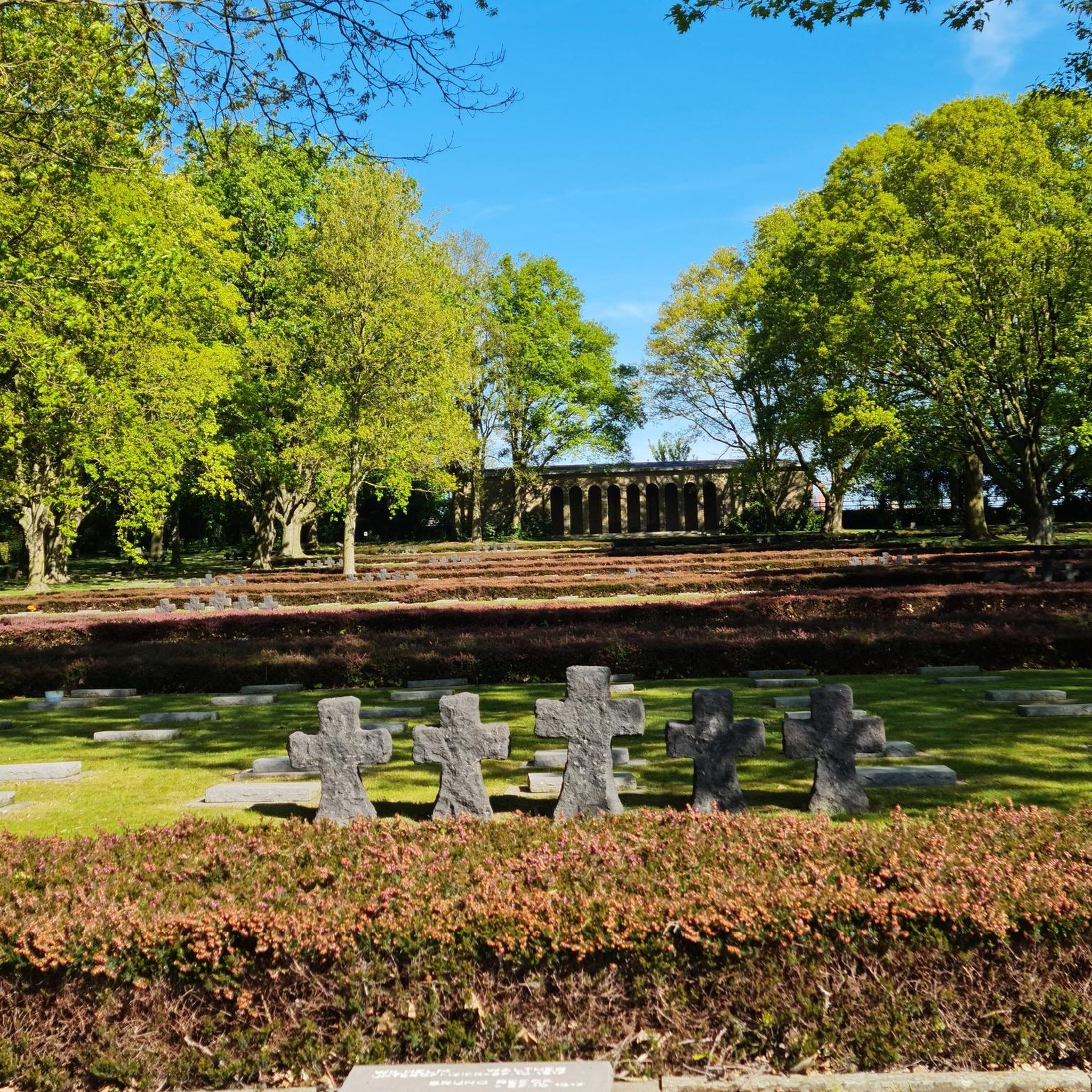
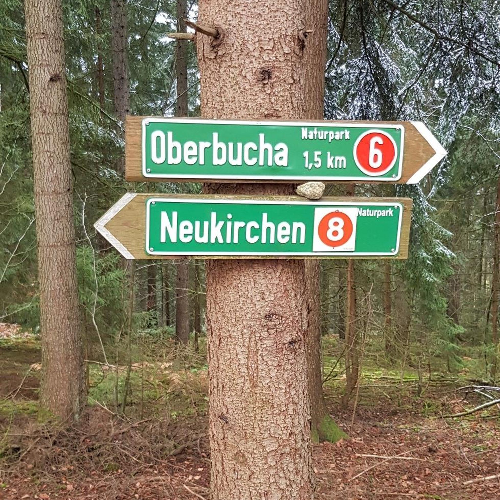
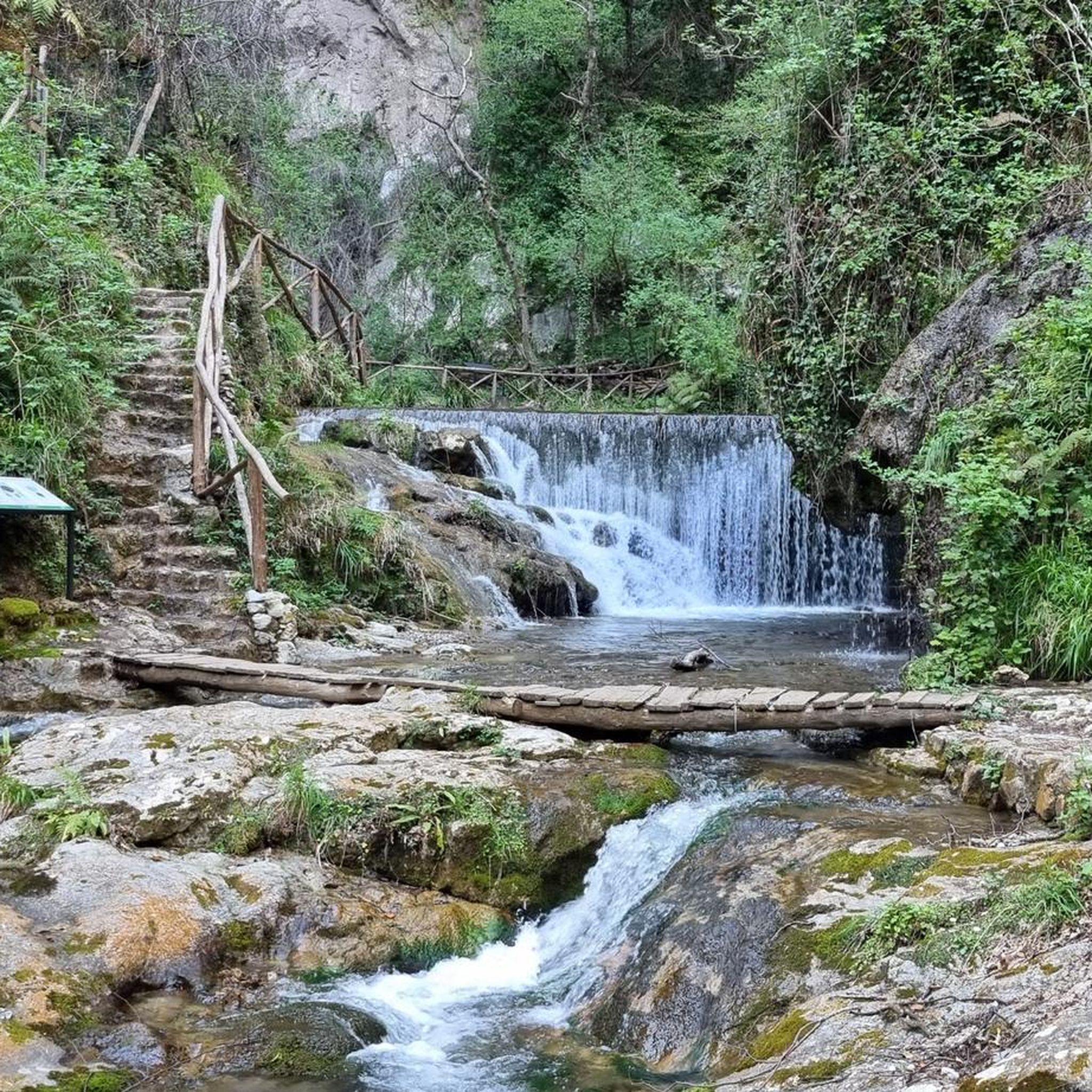

Tips from the Community

Cycle and pedestrian bridge over the Lagan
1
0

The bridge is named after Captain John Shaw of Oliver Cromwell's army, who built an oak bridge here in 1655. A stone bridge was built by Thomas Burgh in 1691, although this was destroyed by flooding, which led to it being replaced by the present bridge in 1709.
3
0
The facility is of impressive size.
3
0
The structure consists of a circular earthen ring with a diameter of 180 m and an area of 28,000 square meters, surrounded by an earthen rampart 3.5 m high. At least three of the five irregularly distributed gaps in the ring are intentional and possibly original. East of the center of the ring is a small passage grave with a westward-facing entrance.
4
0


The truncated round tower rises from afar, its massive structure still preserved up to 10.7 metres. Originally, the tower served not only as a spiritual place, but also offered a strategic view over the valley - a real advantage for spotting any Viking raids early on. The history of the nearby monastery, which is associated with St. Mochumma, is also interesting. It is said that the site was looted in 1130 and that the remains of a church were discovered near the tower as late as the 18th century. The beam holes inside suggest that the six floors were made of wood and offered a certain level of comfort.
1
0
As you get closer, the mystical aura of the place unfolds, with its mighty, almost circular earthen wall, which measures over 180 meters in diameter and dominates the view over the surrounding plateau. This ancient henge complex is one of the largest and best-preserved monuments of its kind in Ireland - hard to miss when you get close to Shaw's Bridge. In the center of the ring, a megalithic tomb awaits you, which tells its own story with its five supporting stones and a mighty capstone. You can literally feel the thousands of years that have passed here since ceremonies and gatherings probably took place at this place. It is impressive how the Giant's Ring has survived over time, while the wooden structures of the Ballynahatty settlements are long gone.
1
0
The old stone bridge stretches majestically over the still water, which is perfectly reflected and creates a calm, almost magical atmosphere. The surrounding nature is inviting and offers a wonderful backdrop with green meadows and shady paths. A light wind blows through the trees and the sounds of nature accompany you with every pedal stroke.
1
0
Frequently Asked Questions
How many touring cycling routes are available in Drumaconnell East?
There are over 25 touring cycling routes around Drumaconnell East, offering a variety of experiences for different skill levels.
Are there easy touring cycling routes suitable for beginners?
Yes, Drumaconnell East offers 2 easy touring cycling routes, perfect for beginners or those looking for a relaxed ride. These routes typically feature gently rolling terrain and scenic paths.
What are the options for more challenging touring bike rides?
For experienced touring cyclists seeking a challenge, there are 3 difficult routes available. One such route is the Ballynahinch to Windy Gap loop, which covers over 50 km and includes significant elevation gain.
Can I find circular touring bike routes in the area?
Yes, many of the touring cycling routes in Drumaconnell East are circular. An example is the Strangford Lough Cycle Trail: Ballygowan Loop, which allows you to start and finish at the same point.
What kind of terrain can I expect on touring bike trails around Drumaconnell East?
The terrain around Drumaconnell East primarily consists of rural roads and scenic paths, particularly around Strangford Lough. You'll encounter gently rolling hills and open countryside, with routes varying from moderate to more challenging.
Are there any scenic viewpoints or attractions along the routes?
Yes, the region offers several points of interest. You can visit historical sites like Kilmood Church or Windmill Hill Tower. For scenic views, consider stopping at Rowallane Garden.
What do other cyclists say about touring in Drumaconnell East?
The touring cycling routes in Drumaconnell East are highly rated by the komoot community, with an average score of 5.0 stars from over 2 reviews. Cyclists often praise the tranquil setting, lough-side paths, and varied terrain suitable for different abilities.
Is Drumaconnell East suitable for family touring bike rides?
The gently rolling terrain and scenic paths, especially around Strangford Lough, make Drumaconnell East suitable for family touring bike rides. Look for the easier routes to ensure a comfortable experience for all family members.
Are touring bike trails in Drumaconnell East dog-friendly?
While many routes are on public roads or paths, specific regulations for dogs can vary. It's always best to keep dogs on a leash, especially near livestock, and to check local signage for any restrictions on specific trails or nature reserves.
Where can I find parking for touring bike trails in Drumaconnell East?
Parking availability varies by starting point. Many rural areas offer roadside parking, and some villages or attractions along the routes may have designated car parks. It's advisable to check specific route details for recommended parking spots.
Is public transport accessible for reaching touring bike trails?
Public transport options in Drumaconnell East are generally limited, especially for reaching specific trailheads with a bicycle. It's recommended to plan your journey by car or consider starting your ride from a more accessible town or village with bus connections, if available.
What is the best season for touring cycling in Drumaconnell East?
The best season for touring cycling in Drumaconnell East is typically from spring to early autumn (April to September). During these months, the weather is generally milder, and the countryside is at its most vibrant. Always be prepared for changeable weather, even in summer.
Are there places to stop for refreshments along the touring routes?
Yes, you can find places to stop for refreshments. For example, Poacher's Pantry is a pub located in the area, offering a convenient stop for cyclists. Many villages along the routes will also have local cafes or shops.
What should I consider regarding weather when planning a touring bike ride?
Weather in Drumaconnell East can be unpredictable, even in summer. It's wise to pack layers, waterproof gear, and check the forecast before heading out. Wind can be a factor, especially along the lough shore, so be prepared for varying conditions.
Are there any less-known or "undiscovered" touring bike trails?
While the main routes around Strangford Lough are popular, exploring the smaller rural roads connecting villages can often lead to quieter, less-trafficked paths. The Saintfield to Giant's Ring loop offers a journey through varied countryside that might feel more off the beaten path.
Most popular routes around Drumaconnell East
Most popular attractions around Drumaconnell East

Get inspired with the komoot mobile app


Explore more
Browse the best Cycling routes in other regions.
