The best running trails around Storbeck-Frankendorf
4.5
(133)
1,876
runners
137
runs
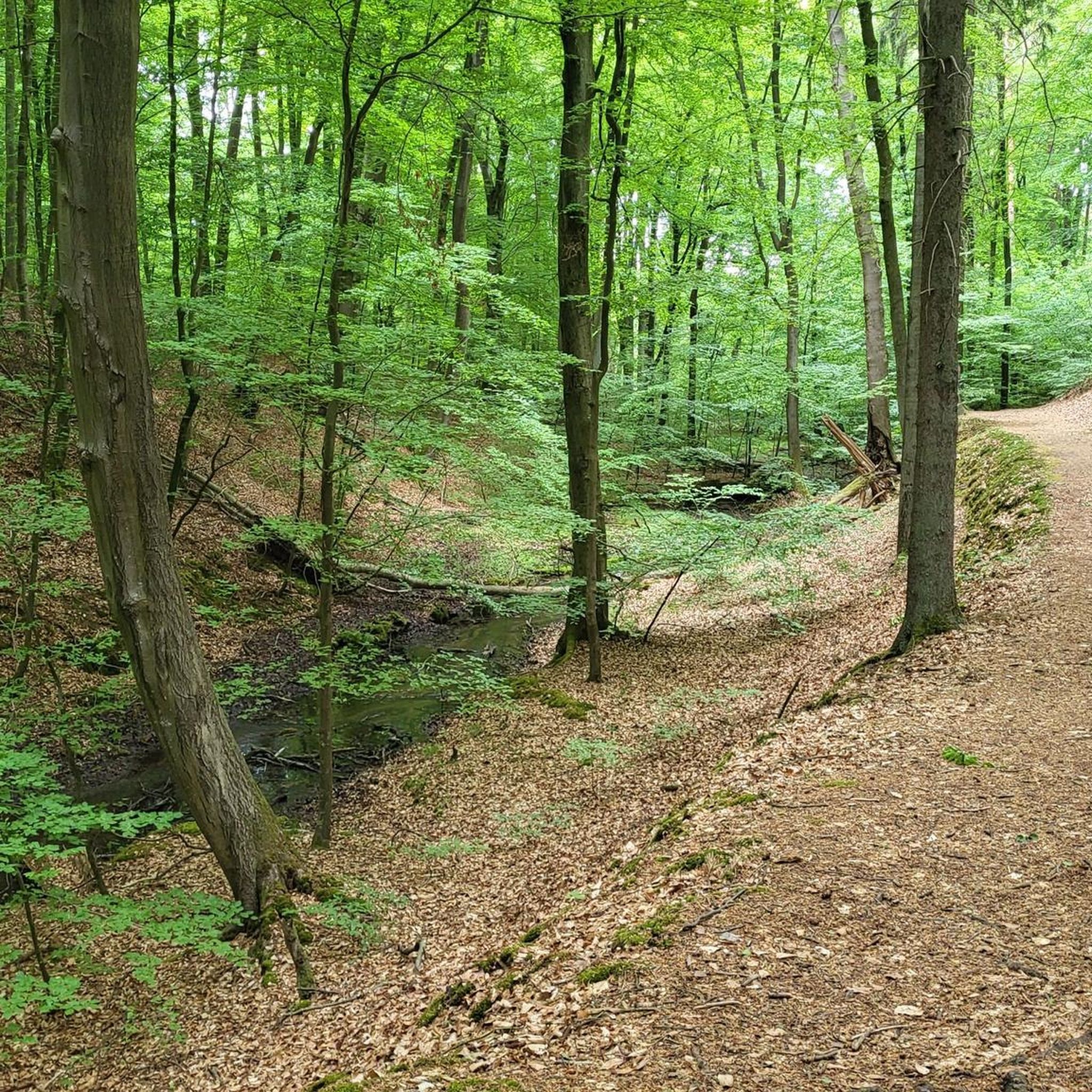
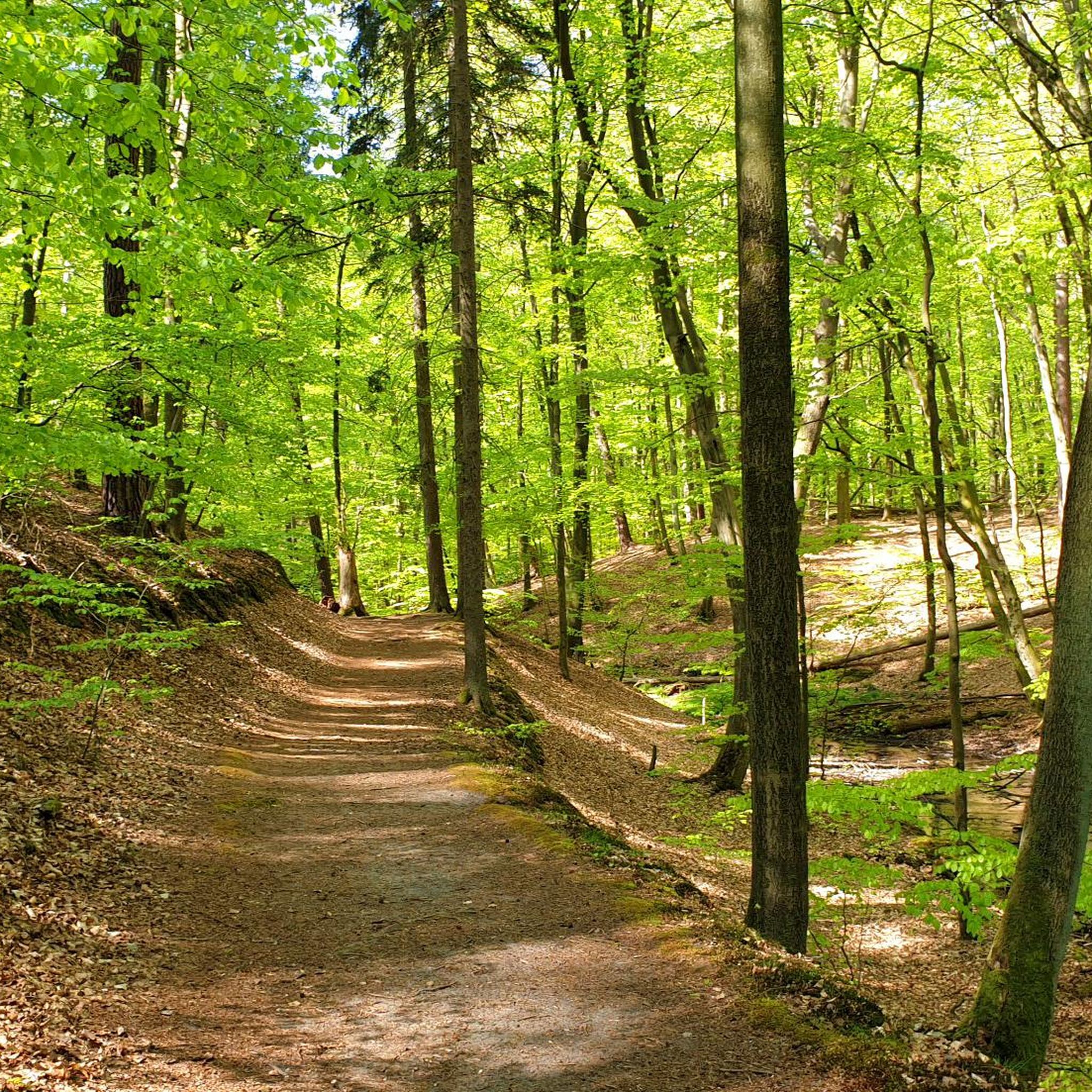
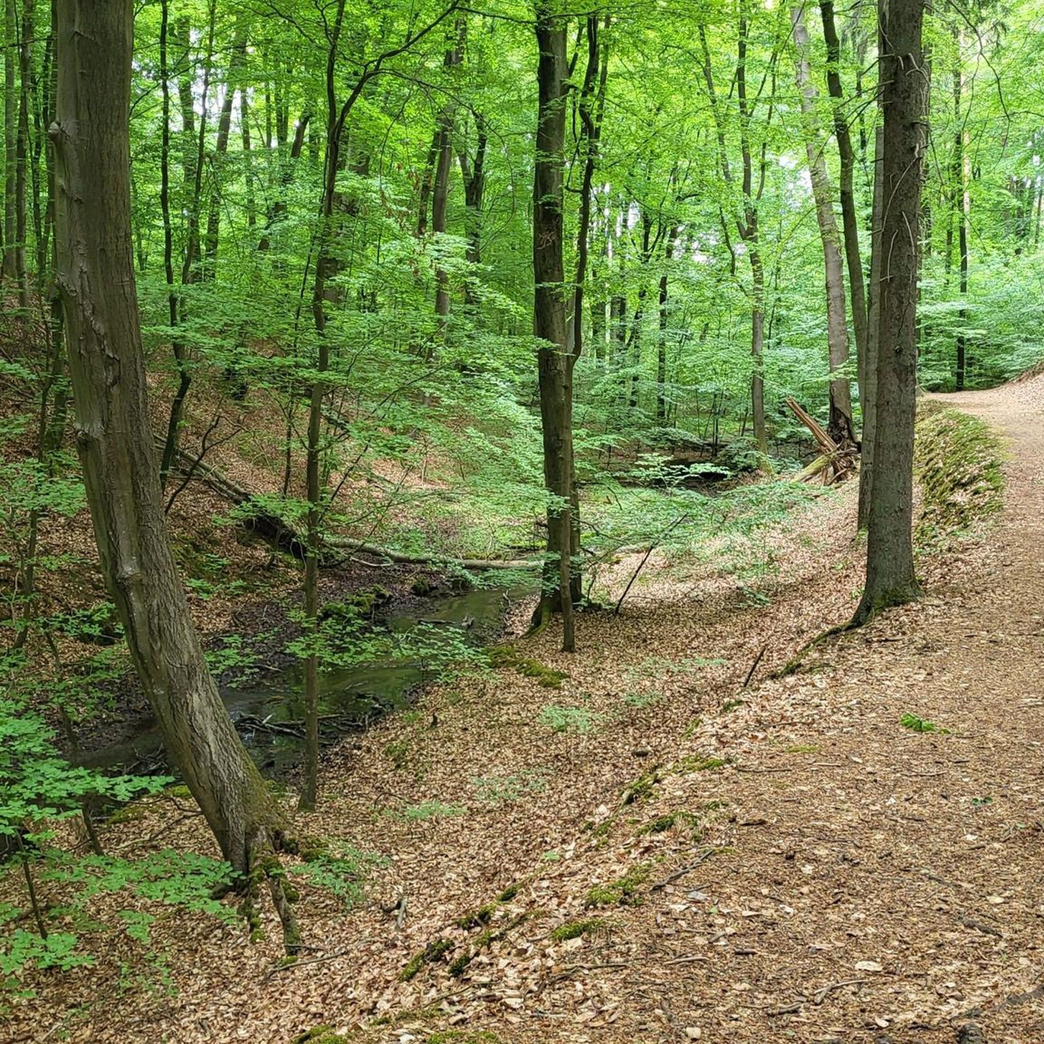
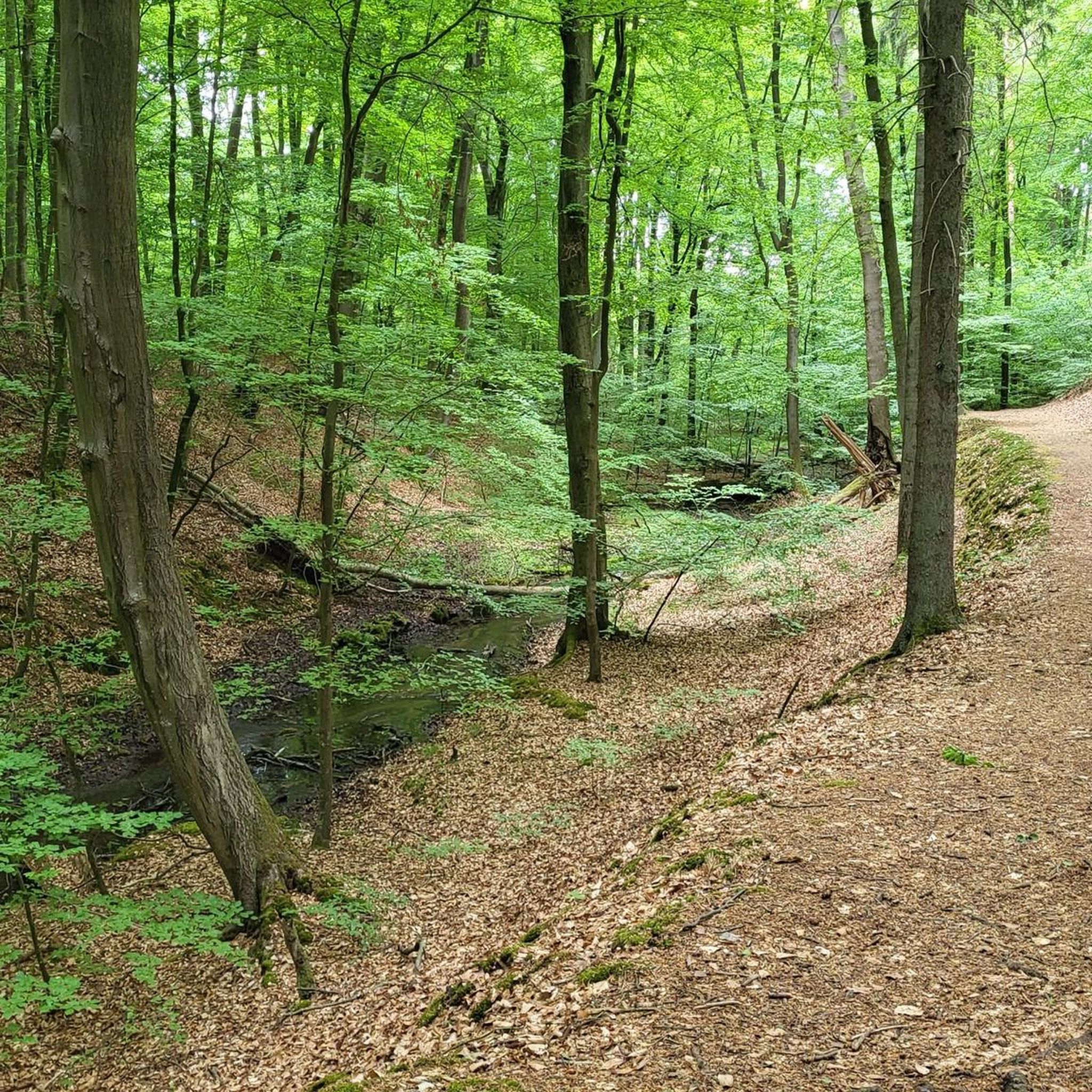
Jogging routes around Storbeck-Frankendorf traverse a varied landscape at the edge of the Stechlin-Ruppiner Land Nature Park. The region is characterized by its numerous lakes, including the extensive Ruppiner See, and shaded mixed and deciduous forests. Terrain generally features minimal elevation changes, with routes often following well-maintained paths suitable for running.
Best jogging routes around Storbeck-Frankendorf
- The most popular jogging route is Lake Ruppin – Altfriesack Lock loop from Neuruppin West, a 17.2 miles (27.6 km) trail that takes…
Last updated: August 22, 2026
3.7
(3)
36
runners
27.6km
02:52
80m
80m
Hard run. Very good fitness required. Mostly paved surfaces. Suitable for all skill levels.
48
runners
Moderate run. Good fitness required. Mostly paved surfaces. Suitable for all skill levels.

Sign up for free
5.0
(4)
35
runners
Moderate run. Good fitness required. Mostly paved surfaces. Suitable for all skill levels.
30
runners
8.23km
00:53
40m
40m
Moderate run. Good fitness required. Mostly paved surfaces. Suitable for all skill levels.
24
runners
8.50km
00:53
20m
20m
Moderate run. Good fitness required. Mostly paved surfaces. Suitable for all skill levels.
Get access to more routes and recommendations from other explorers.
Sign up for free
Already have an account?
Our route recommendations are based on thousands of hikes, rides, and runs completed by other people on komoot.
Start today with a free account
Your next adventure awaits.
Login or Signup
Tips from the Community

Rest area with bathing spot on the lake
0
0

A great resting place with an unbeatable view 💯
0
0

A really cozy spot for a bike stop...
0
0

Commemoration of the crash of a mail plane near Wustrau on December 19, 1929
0
0

The Wichmann Linden tree in Neuruppin is a living natural monument – a tree that breathes history and enriches the city with its serene presence. This impressive winter linden stands near the city wall by the Neuruppin Monastery Church and is one of the oldest trees in the region. With an estimated age of over 700 years, it is not only a botanical highlight but also a symbol of both continuity and change. The tree is hollow after being struck by lightning, but this does not diminish its majestic appearance – on the contrary: it acts as a venerable guardian of the city's history. https://www.baumkunde.de/baumregister/3327-wichmannlinde_in_neuruppin/
2
0
Lake Ruppin covers an area of 8.25 km² and is 14 km long, making it the longest lake in Brandenburg. Its maximum depth is approximately 24 m. A roughly 25 km long circular path leads around the lake, inviting hikers and especially cyclists to explore. To the south of the lake lies Wustrau, a village of about 1,100 inhabitants, which is well worth a visit. The lake receives its water from the Rhin River via the Zermützelsee, the Tetzensee, and the Molchowsee at the Altruppin lock, and flows into the Bützsee via the Wustrauer Rhin. https://www.goruma.de/staedte/neuruppin/neuruppin-sehenswuerdigkeiten
2
0
The monumental stainless steel sculpture "Parzival am See" (Parzival by the Lake) on the shore of Lake Ruppin is far more than just a work of art; it is a powerful symbol of change and hope. Standing a proud 17 meters tall, Parzival, created by the artist Matthias Zágon Hohl-Stein, was unveiled in 1998 to mark the town's renaming as "Fontanestadt" (Fontane City). The symbolism is particularly striking: In one hand, Parzival holds a windmill, in the other an ark – symbols of progress and preservation. The sculpture represents a new Neuruppin without a garrison, a city on the move, confronting its history while simultaneously looking to the future. An inspiring place that invites reflection – and a fantastic photo opportunity right on the lakeshore. Anyone visiting Neuruppin should definitely take a look at this modern-day knight. https://tourismus-neuruppin.de/kultur-erleben-neuruppin/sehenswertes-neuruppin/119-parzival-am-see-neuruppin
2
0

Beautiful view, best to linger in the beer garden.
0
0
Frequently Asked Questions
How many running routes are available in Storbeck-Frankendorf?
Storbeck-Frankendorf offers an extensive network of over 140 running routes. These trails cater to various fitness levels, from easy paths to more challenging runs, ensuring a diverse experience for every jogger.
What kind of terrain can I expect on the jogging trails in Storbeck-Frankendorf?
The jogging trails in Storbeck-Frankendorf traverse a varied landscape, primarily featuring well-maintained paths through shaded mixed and deciduous forests, and scenic routes along numerous lakes. While the region is known for its idyllic natural surroundings, most routes have minimal elevation changes, making them generally accessible.
Are there running routes suitable for beginners in Storbeck-Frankendorf?
Yes, Storbeck-Frankendorf has 13 easy running routes, perfect for beginners or those looking for a relaxed jog. These paths typically cover shorter distances and have very little elevation gain, allowing for an enjoyable introduction to the region's beautiful scenery.
What do other runners say about the trails in Storbeck-Frankendorf?
The running routes in Storbeck-Frankendorf are highly rated by the komoot community, with an average score of 4.5 stars from over 115 reviews. More than 1700 runners have explored the area, often praising the scenic lakefront paths, tranquil forest trails, and the overall variety of options available within the Stechlin-Ruppiner Land Nature Park.
Are there any circular running routes in Storbeck-Frankendorf?
Yes, many of the running routes in Storbeck-Frankendorf are circular, offering convenient starting and ending points. For example, the popular Ruppiner Lake near Treskow – The Nail loop from Neuruppin West provides a moderate 7.6-mile loop along the lake shore and through natural areas.
Can I bring my dog on the running trails in Storbeck-Frankendorf?
Generally, dogs are welcome on most outdoor trails in the Storbeck-Frankendorf region, especially within the Stechlin-Ruppiner Land Nature Park. However, it's always recommended to keep your dog on a leash, especially in nature protection areas, and to be mindful of wildlife and other trail users.
Are there family-friendly jogging routes in Storbeck-Frankendorf?
Yes, many of the easier and moderate routes are suitable for families. The region's predominantly flat and well-maintained paths, often through forests or along lakes, provide a pleasant environment for families to jog together. Look for routes under 5 kilometers with minimal elevation for the most family-friendly options.
What natural attractions or landmarks can I see while jogging in Storbeck-Frankendorf?
The region is rich in natural beauty. You can jog past the extensive Ruppiner Lake near Treskow, cross the scenic Molchow Bridge over the Rhin river, or explore trails near the unique 'Kochquelle' (Cooking Spring) where clean spring water bubbles from the ground. The Kunster stream also features prominently in a nature and educational trail.
Are there running routes that offer scenic views of lakes?
Absolutely. Storbeck-Frankendorf is characterized by its numerous lakes. Many running routes, such as the Lake Ruppin – Altfriesack Lock loop from Neuruppin West, offer extensive views along the Ruppiner See. You can also find beautiful lake views on routes around Lake Molchow and Lake Tetzensee.
Where can I find shaded running paths, especially during warmer months?
For shaded running paths, focus on routes that traverse the region's extensive mixed and deciduous forests, particularly within the Ruppiner Switzerland area. These forest trails provide natural cover, making them ideal for jogging during warmer weather. Many routes combine forest sections with open lake views.
Are there options for parking near the running trails in Storbeck-Frankendorf?
Yes, many popular trailheads and starting points for running routes in Storbeck-Frankendorf offer designated parking areas. It's advisable to check specific route descriptions on komoot for details on parking availability at the start of your chosen trail.
Is public transport available to access the running routes?
While Storbeck-Frankendorf is best explored by car for direct access to many trailheads, some routes, especially those starting from larger towns like Neuruppin, may be accessible via local public transport. It's recommended to check local bus schedules for connections to specific starting points.
Most popular routes around Storbeck-Frankendorf
Most popular attractions around Storbeck-Frankendorf

Get inspired with the komoot mobile app


Explore more
Browse the best Running Trails & Routes in other regions.
