The best road cycling routes around Carrogs
4.4
(57)
1,911
riders
164
rides
Road cycling routes around Carrogs traverse a varied landscape, featuring coastal roads, rolling hills, and routes offering views of the Mourne Mountains. The region's terrain includes both moderate climbs and more challenging ascents, suitable for different fitness levels. Road cyclists can explore areas around Newry, Warrenpoint, and the Ring of Gullion. The network of routes provides diverse options for exploring the local geography.
Best road cycling routes around Carrogs
- The most popular road cycling route is Warrenpoint, Rostrevor and Mayobridge…
Last updated: June 27, 2026
5.0
(1)
39
riders
44.1km
01:57
420m
420m
Cycle the Warrenpoint, Rostrevor and Mayobridge loop from Newry for a moderate road cycling adventure through the scenic Mourne AONB. This route covers 27.4 miles (44.1 km) and includes a…
86.2km
04:15
1,100m
1,100m
Hard road ride. Very good fitness required. Mostly well-paved surfaces and easy to ride.

Sign up for free
4.0
(4)
118
riders
68.0km
02:47
370m
370m
Moderate road ride. Good fitness required. Mostly well-paved surfaces and easy to ride.
27
riders
58.7km
02:25
330m
330m
Moderate road ride. Good fitness required. Mostly well-paved surfaces and easy to ride.
5.0
(7)
13
riders
34.7km
01:40
470m
470m
Moderate road ride. Good fitness required. Mostly well-paved surfaces and easy to ride.
Get access to more routes and recommendations from other explorers.
Sign up for free
Already have an account?
Our route recommendations are based on thousands of hikes, rides, and runs completed by other people on komoot.
Start today with a free account
Your next adventure awaits.
Login or Signup



Tips from the Community

This charming seaside town overlooks the Mourne Mountains, whose silhouette rises along the coast of Northern Ireland. Carlingford is very lively at weekends thanks to its many pubs and restaurants, which attract visitors from the north, and is famous for its oysters. The village has several historical sights, such as the small King John's Castle, with its romantic silhouette overlooking the sea, and Taaffe's Castle, a former 16th-century merchant's house located a little further from the quay.
6
0
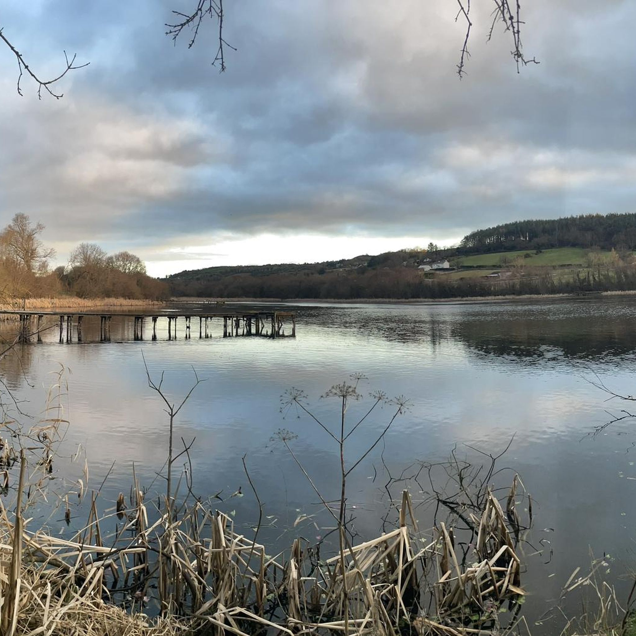
Quiet canal section south of Poyntzpass, where the towpath runs tightly along the narrow water. The bank is lightly overgrown with low trees and hedges, giving the stretch an intimate, green impression. The water is mostly still, forming a straight line through the open agricultural landscape. An even, traffic-free segment ideal for quiet miles on the towpath.
5
0

Start of a beautiful path
0
0

Wikipedia (Carlingford, County Louth, 2023-12-18): https://en.m.wikipedia.org/wiki/Carlingford,_County_Louth https://de.m.wikipedia.org/wiki/Carlingford Carlingford Lough Heritage Trust (Discover Carlingford & The Cooley Peninsula, 2023-12-18): https://www.carlingford.ie/
3
2

The perfect meeting spot to start any run in this area. From this point you can head either into Rostrevor village, out towards Killowen, into Kilbroney park or head north alongside the river.
1
0
There are great views of Newry City, The Mourne Mountains, Carlingford Lough and The Cooley Moiuntains from up here. Flags were raised here to announce arriving boats coming into the lough, hence the name Flagstaff.
0
0

This cycle and walking route from the Bann Bridge in Portadown to the Town Hall in Newry is a 20 mile trip on part of route 9 of the National Cycle Network. The route follows the towpath on the western bank of the, now non-navigable, Newry Canal. Here's a bit about the Canals history. Built to transport coal from Coalisland in County Tyrone to Dublin via Lough Neagh, Portadown, Newry and the Irish Sea, the Newry Canal was opened in 1742. It operated for almost 200 years until it fell into disuse following the growth of the railway network. Frequent interpretation boards along the way give information about the history of the canal. You will also find lots of art pieces along the route including Sustrans commissioned Millennium Mileposts and a series of pieces which reflect the former work and nature of the Newry Canal.
3
0

Frequently Asked Questions
How many road cycling routes are available around Carrogs?
There are over 180 road cycling routes documented around Carrogs, offering a wide range of options for different skill levels and preferences.
What kind of terrain can I expect when road cycling around Carrogs?
Road cycling routes in Carrogs feature a varied landscape, including coastal roads, rolling hills, and routes with scenic views of the Mourne Mountains. You'll find both moderate climbs and more challenging ascents, catering to various fitness levels.
Are there challenging road cycling routes in Carrogs?
Yes, Carrogs offers challenging road cycling routes. Approximately 21 routes are classified as difficult. For instance, the Carlingford to Ballymascanlan loop from Flagstaff Viewpoint — Ring of Gullion is a difficult 86.2 km path with significant climbs, featuring an elevation gain of 1098 meters.
Are there easier road cycling routes suitable for beginners in Carrogs?
Yes, Carrogs has about 15 easy road cycling routes. Many moderate routes are also suitable for those looking for a less strenuous ride. The region's diverse network ensures options for all abilities.
What do other road cyclists think about the routes in Carrogs?
The road cycling routes around Carrogs are highly rated by the komoot community, with an average score of 4.5 stars from over 50 reviews. More than 2000 road cyclists have explored the varied terrain, often praising the scenic coastal paths and mountain views.
Are there circular road cycling routes around Carrogs?
Many of the road cycling routes in Carrogs are designed as loops. Examples include the popular Warrenpoint, Rostrevor and Mayobridge loop from Newry and the View of the Mourne Mountains loop from Burren, offering convenient starting and ending points.
What landmarks or attractions can I see along road cycling routes in Carrogs?
Along the road cycling routes, you can encounter several natural monuments and attractions. Notable sights include the Slieve Gullion Summit, the historic Cloughmore Stone, and the Long Woman's Grave Memorial. Many routes also offer views of the Mourne Mountains.
Are there road cycling routes with scenic viewpoints in Carrogs?
Yes, several routes provide excellent scenic viewpoints. The Carlingford to Ballymascanlan loop from Flagstaff Viewpoint — Ring of Gullion, for instance, is known for its expansive views. Other routes offer picturesque glimpses of the Mourne Mountains and coastal scenery.
Is parking available for road cyclists in Carrogs?
While specific parking information for each route isn't detailed, routes often start from towns like Newry or Burren, where public parking facilities are typically available. It's advisable to check local parking options for your chosen starting point.
Can I find family-friendly road cycling routes in Carrogs?
For families, the easier and moderate routes are generally more suitable. While not explicitly labeled 'family-friendly,' routes with lower elevation gains and shorter distances, such as the Newry Canal Towpath – Warrenpoint Shore Road loop from Newry, can be enjoyed by families.
What are the typical distances and elevations for road cycling routes in Carrogs?
Routes vary significantly. Distances range from shorter rides to longer excursions, with many popular routes falling between 40 km and 80 km. Elevation gains can be moderate, around 300-400 meters, up to over 1000 meters for more challenging routes.
Can I bring my dog on road cycling routes in Carrogs?
Road cycling routes are generally designed for speed and efficiency on paved roads, which are not typically suitable or safe for dogs. If you wish to cycle with your dog, consider exploring dedicated cycling paths or trails where dogs are permitted and safe.
Most popular attractions around Carrogs

Get inspired with the komoot mobile app


Explore more
Browse the best Road cycling routes in other regions.
