The best walks and hikes around Holymoorside And Walton
4.6
(7221)
41,215
hikers
26
hikes
Hiking around Holymoorside And Walton provides varied landscapes and an extensive network of trails in North East Derbyshire. The region features a blend of rural scenery, verdant forests, and gentle hills, with the River Hipper meandering through the area. Woodlands and fields characterize the terrain, offering diverse options for outdoor activities. The area's proximity to the Peak District National Park further enhances the hiking experience.
Best hiking trails around Holymoorside And Walton
- The most popular hiking route is Chesterfield Round Walk: Holymoorside Loop, a 4.0 miles (6.5 km) trail that takes 1 hour 51 minutes to complete. This easy route offers scenic views of Chesterfield, the River Hipper, and Holymoorside Dam through varied woodland.
- Another top favourite among local hikers is Holymoorside Mill Pond – Holymoorside Dam loop from North East Derbyshire, an easy 2.7 miles (4.4 km) path. This trail explores tranquil spots around Holymoorside Mill Pond and Holymoorside Dam.
- Local hikers also love the View of Holymoorside – Stanedge Golf Club loop from North East Derbyshire, a 5.4 miles (8.8 km) trail leading through varied terrain with views of Holymoorside, often completed in about 2 hours 32 minutes.
- Hiking around Holymoorside And Walton is defined by extensive woodlands, gentle hills, and riverside paths along the River Hipper. The network offers options for different ability levels, from easy strolls to moderate hikes.
- The routes in Holymoorside And Walton are highly rated by the komoot community with an average score of 4.6 stars from over 6000 reviews. More than 34000 hikers have used komoot to explore Holymoorside And Walton's varied terrain.
Last updated: July 7, 2026
4.7
(56)
123
hikers
6.55km
01:52
150m
160m
Easy hike. Great for any fitness level. Easily-accessible paths. Suitable for all skill levels.
4.3
(4)
21
hikers
Easy hike. Great for any fitness level. Easily-accessible paths. Suitable for all skill levels.

Sign up for free
5.0
(2)
7
hikers
8.74km
02:32
220m
220m
Moderate hike. Good fitness required. Easily-accessible paths. Suitable for all skill levels.
4.5
(2)
12
hikers
6.99km
02:01
180m
180m
Moderate hike. Good fitness required. Easily-accessible paths. Suitable for all skill levels.
4.0
(1)
9
hikers
5.06km
01:23
80m
80m
Easy hike. Great for any fitness level. Easily-accessible paths. Suitable for all skill levels.
Get access to more routes and recommendations from other explorers.
Sign up for free
Already have an account?
Our route recommendations are based on thousands of hikes, rides, and runs completed by other people on komoot.
Start today with a free account
Your next adventure awaits.
Login or Signup

Tips from the Community

The Chesterfield Golf Club was founded in 1897 and its first members played a course in Somersall Park - just over a mile from the club's current home. The club moved to its present site in 1906 when Somersall Park proved too short. The original Walton course consisted of nine holes, taking in much of the land now occupied by the first six holes together with some which is now a public recreation area. In the late 1920s the club acquired Yew Tree Farm and the course was played much as it is now.
0
0

The mill pond was dammed in the late 18th century to provide a constant stream of water for the cotton mill. The mill closed in 1902 and was demolished soon afterwards. The pond became a popular fishing venue and was bought by the Holymoorside Angling Club in the 1980s.
0
0

A natural causeway made of stones leads you over the beautiful River Hipper and through the woods. Watch your footing here as the rocks can get slippery!
2
0

The Northern Half of the wood has been transformed into the Chesterfield Golf Club, but the Public footpath access remains. The Western side of the wood (Granville's Wood) is Private, used by "The Woodland Burial Company" for tranquil, woodland final resting places.
2
0
Stunning spot, bridge over the River Hipper just off the Corporation Lane bridleway, masses of Bluebells in April/May. This whole lane and beyond the bridleway is wonderful, smaller paths (not shown on Komoot) run alongside the river.
2
0
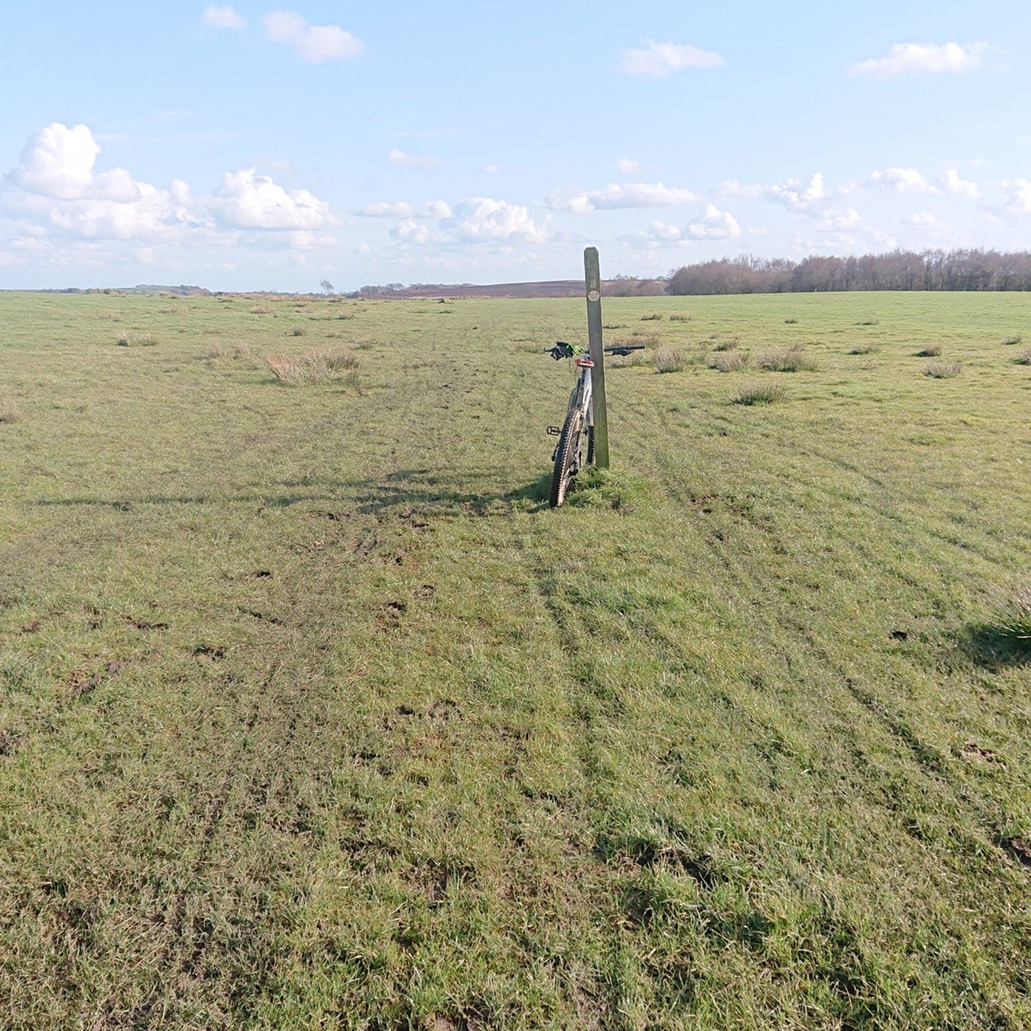
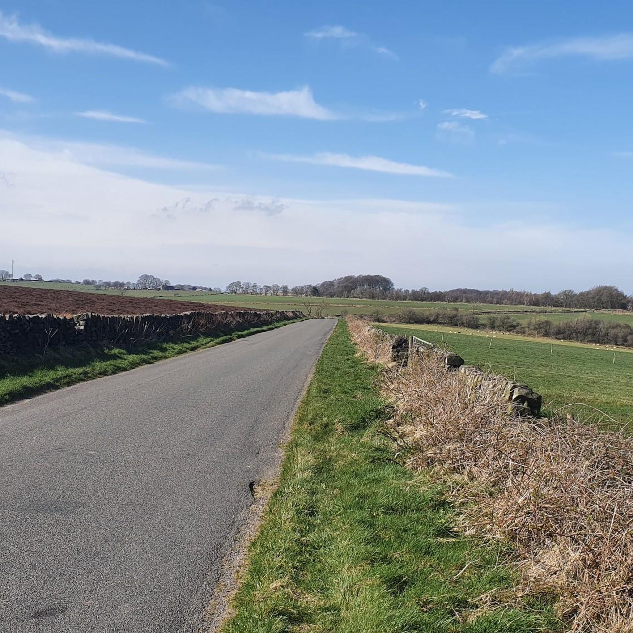
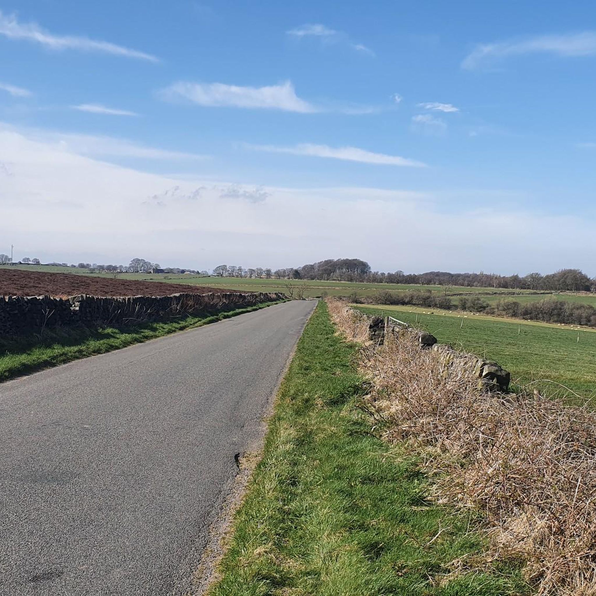
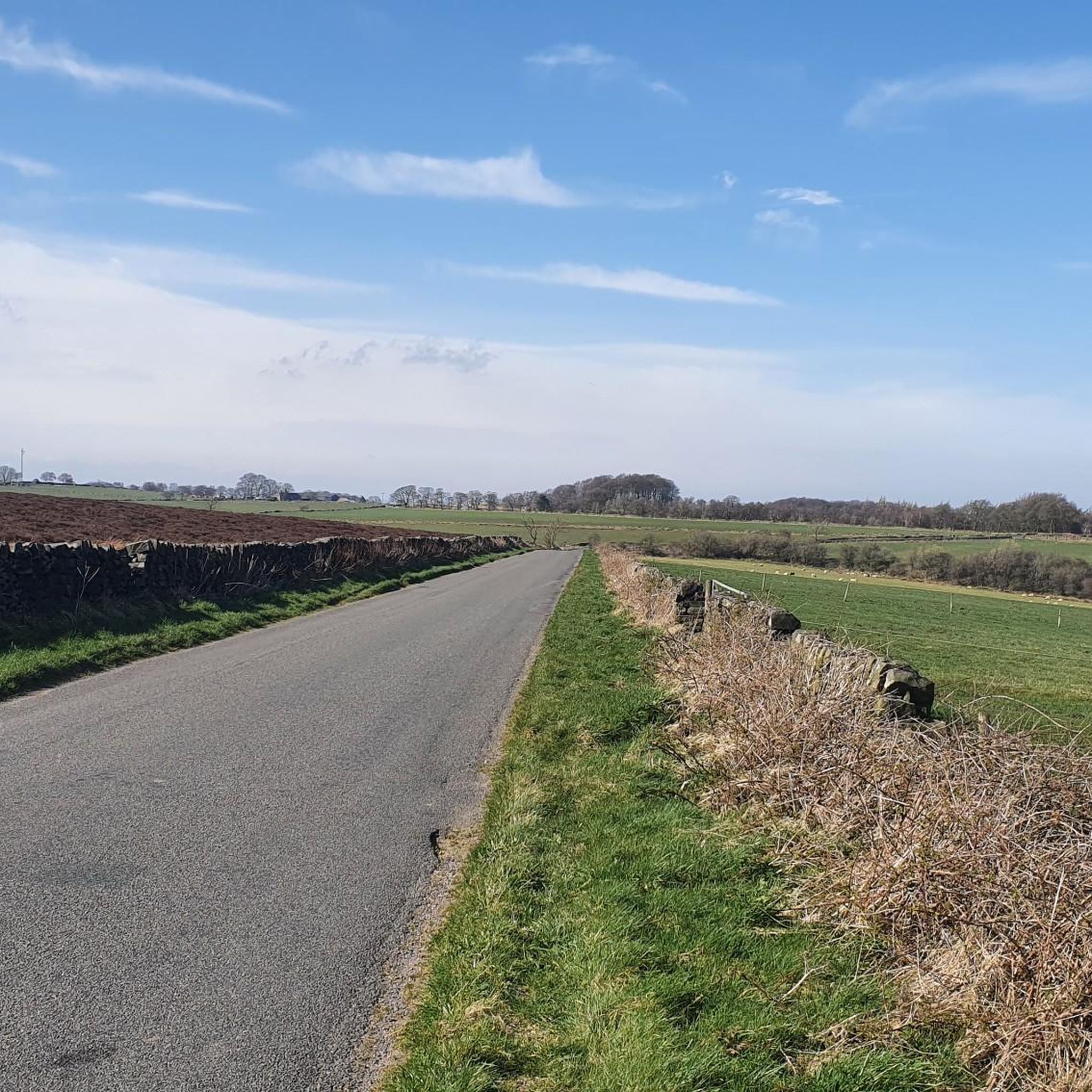
Dennis's Lane Bridleway, great views of Chesterfield from the top, super descent on a MTB, also used by horse riders
1
0
Dennis's Lane Bridleway, through Billy Pig's Wood. Great views of Chesterfield from the top, super descent on a MTB, also used by horse riders
2
0

Frequently Asked Questions
What kind of terrain can I expect on hikes around Holymoorside And Walton?
The area offers a diverse landscape characterized by extensive woodlands, gentle hills, and picturesque riverside paths along the River Hipper. You'll find a blend of rural scenery and open fields, providing varied terrain for all types of walkers.
How many hiking trails are available in Holymoorside And Walton?
There are over 20 hiking routes available in Holymoorside And Walton, catering to various preferences. You'll find a good mix of easy strolls and more moderate hikes to explore the region's natural beauty.
Are there any easy walks suitable for families or beginners?
Yes, Holymoorside And Walton has 14 easy routes perfect for families or those new to hiking. A great option is the Holymoorside Mill Pond – Holymoorside Dam loop, which is an easy 2.7-mile path exploring tranquil spots around the mill pond and dam.
What are some notable natural features or landmarks to see while hiking?
The region is rich in natural features. You can explore the tranquil Holymoorside Dam and Mill Pond, or follow the River Hipper through scenic valleys like Cat Hole. For historical interest, the Nine Ladies Stone Circle is an early Bronze Age site nearby, offering an atmospheric natural environment.
Are there any circular walks in the area?
Yes, many of the routes in Holymoorside And Walton are circular, allowing you to start and end in the same location. The Chesterfield Round Walk: Holymoorside Loop is a popular 4.0-mile circular trail offering scenic views of Chesterfield and the River Hipper through varied woodland.
What do other hikers say about the trails in Holymoorside And Walton?
The hiking trails in Holymoorside And Walton are highly rated by the komoot community, with an average score of 4.6 stars from over 6,000 reviews. Hikers often praise the quiet woodlands, well-maintained footpaths, and the diverse scenery that ranges from gentle hills to picturesque riverside walks.
Are there any moderate hikes for those looking for more of a challenge?
Yes, there are 9 moderate routes available. For a slightly longer and more challenging option, consider the View of Holymoorside – Stanedge Golf Club loop, a 5.4-mile trail leading through varied terrain with excellent views of Holymoorside.
Can I find viewpoints with scenic vistas on the trails?
Absolutely. The varied terrain and proximity to the Peak District offer several opportunities for scenic views. You can find viewpoints like High Tor and Giddy Edge, or explore the gritstone edges such as Curbar Edge and Froggatt Edge, which are known for stunning views across the valleys.
Are there any trails that pass through woodlands?
Many trails in Holymoorside And Walton traverse beautiful woodlands. The Dam Wood – Middle Loads Wood loop is a moderate 4.3-mile route that takes you through these verdant forests, offering a peaceful and immersive experience in nature.
What is the best time of year to go hiking in Holymoorside And Walton?
Holymoorside And Walton offers enjoyable hiking experiences throughout the year. Spring brings blooming wildflowers, summer provides lush greenery, and autumn showcases vibrant foliage. Even in winter, the trails can be beautiful, though conditions may vary, so checking local weather is always recommended.
Are there any nearby attractions worth visiting after a hike?
Beyond the immediate trails, the area is close to several attractions. You could visit the Chatsworth Estate, explore the walking paths around Hardwick Hall, or enjoy a stroll around the Linacre Reservoirs. The Birchen Edge Trig Point also offers fantastic views and is part of a popular gritstone edge area.
Most popular routes around Holymoorside And Walton
Most popular attractions around Holymoorside And Walton

Get inspired with the komoot mobile app


Explore more
Browse the best Hikes in other regions.
