Baslow and Bubnell CP
Baslow and Bubnell CP
The best mountain hikes around Baslow and Bubnell CP
5.0
(1)
6
hikers
3
hikes
Mountaineering around Baslow and Bubnell CP is characterized by its location within the Peak District National Park, offering access to distinctive gritstone landscapes. The area features prominent gritstone escarpments like Baslow Edge, Curbar Edge, and Froggatt Edge, which provide varied terrain for outdoor pursuits. The landscape includes a mix of woodlands, open meadows, and rolling hills, with the River Derwent flowing through the village. These physical features contribute to a diverse environment for mountaineering activities.
Best mountaineering routes around Baslow…
Last updated: August 20, 2026
5.0
(1)
4
hikers
10.8km
03:05
240m
240m
Moderate mountaineering route. Good fitness required. Easily-accessible paths. Suitable for all skill levels.
1
hikers
11.3km
03:05
170m
170m
Moderate mountaineering route. Good fitness required. Easily-accessible paths. Suitable for all skill levels.

Sign up for free
1
hikers
12.3km
03:33
310m
310m
Moderate mountaineering route. Good fitness required. Easily-accessible paths. Suitable for all skill levels.
Our route recommendations are based on thousands of hikes, rides, and runs completed by other people on komoot.
Start today with a free account
Your next adventure awaits.
Login or Signup
Popular around Baslow and Bubnell CP
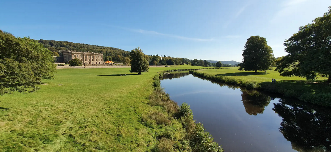
Derwent Valley Heritage Way — Hike a river that changed the world
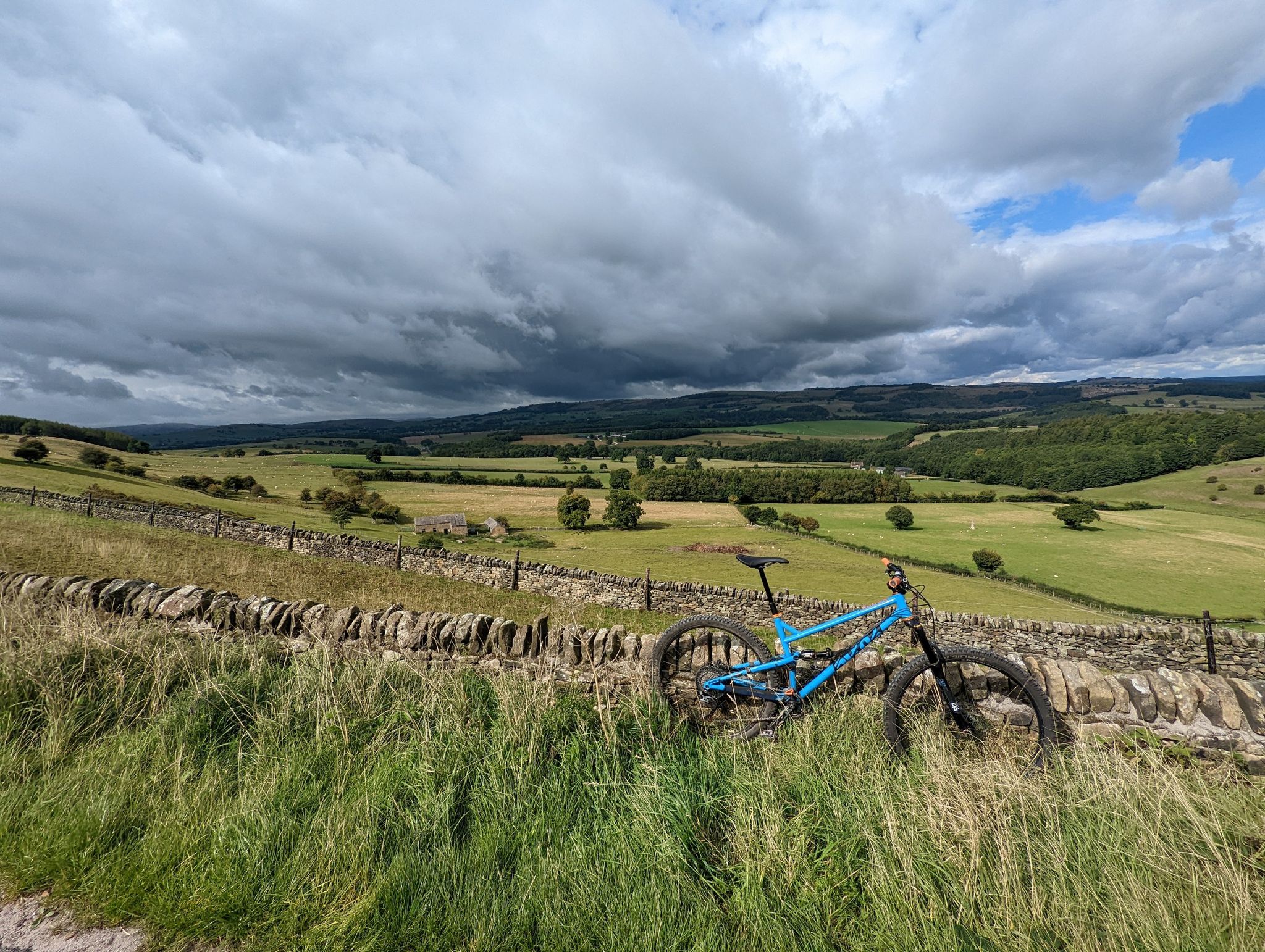
MTB Derbyshire — A proper mixed bag of goodies!
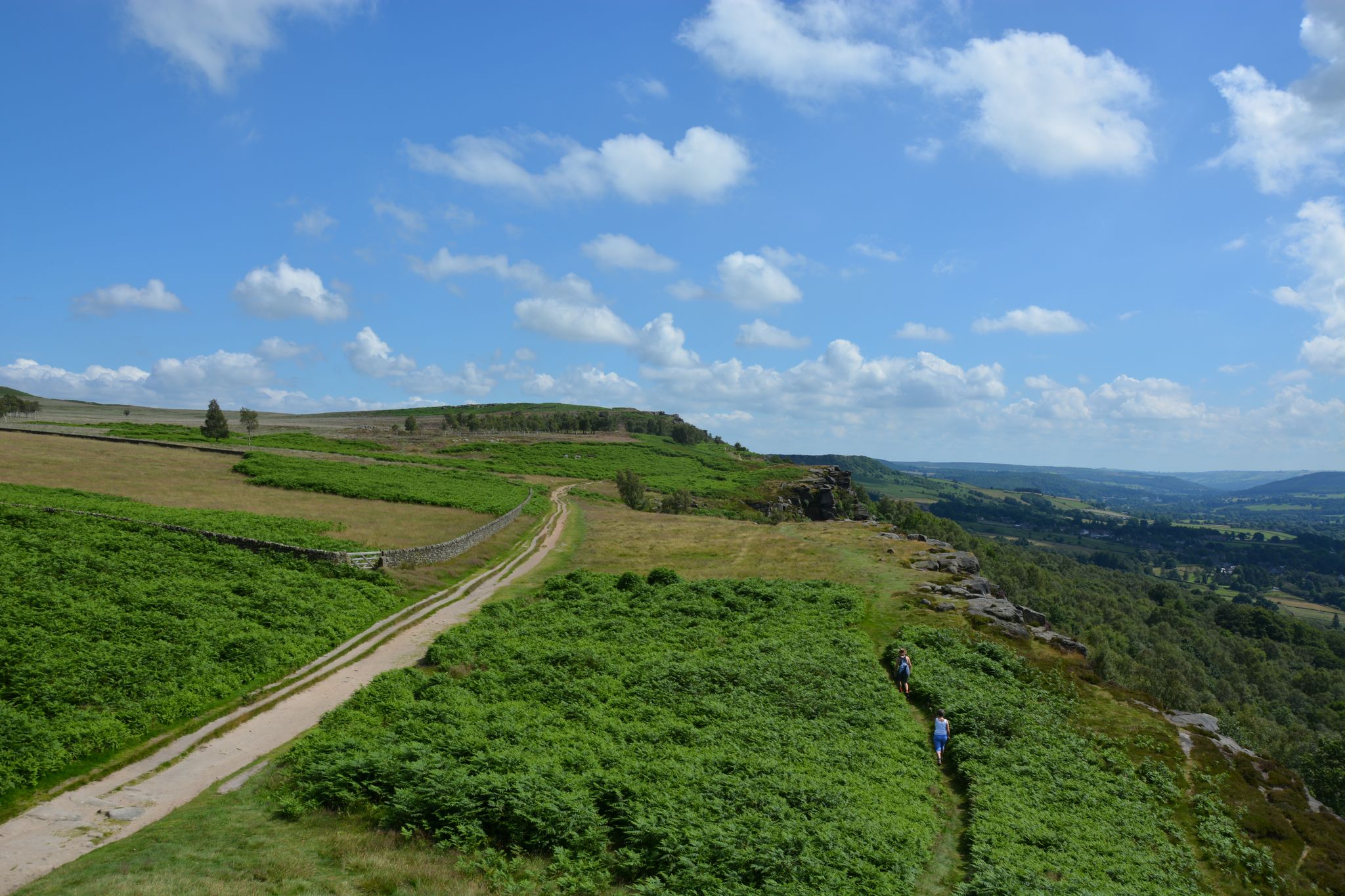
10 Stunning trail runs in the Dark Peak — Peak District National Park
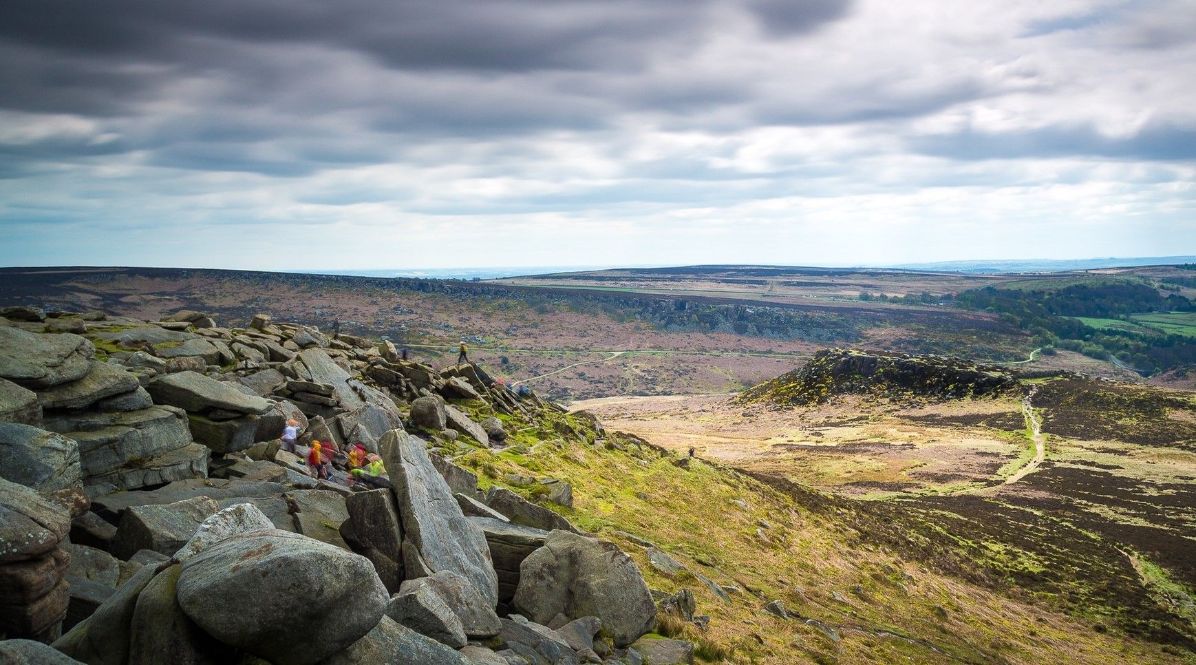
Hike the beauty of the outdoor city — Sheffield
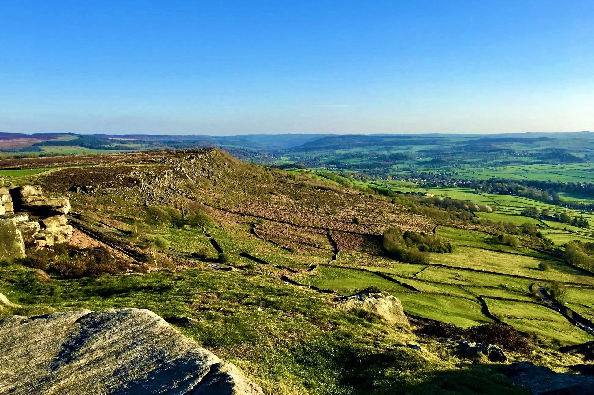
Mythical adventures and magical beauty – Peak District hikes
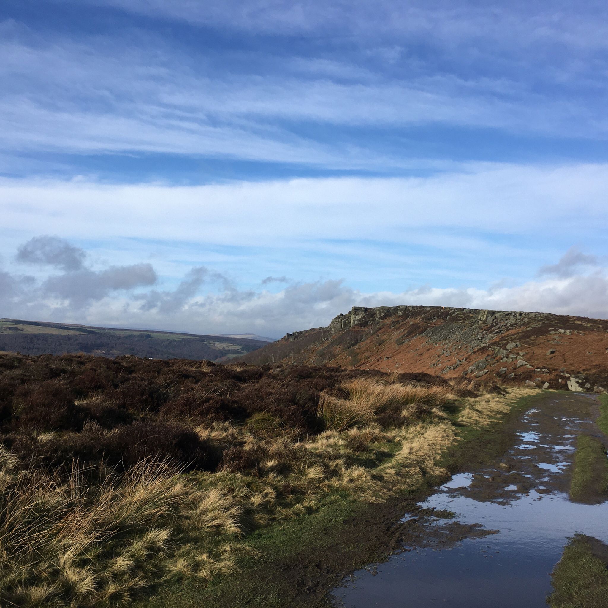
Hiking around Baslow and Bubnell CP
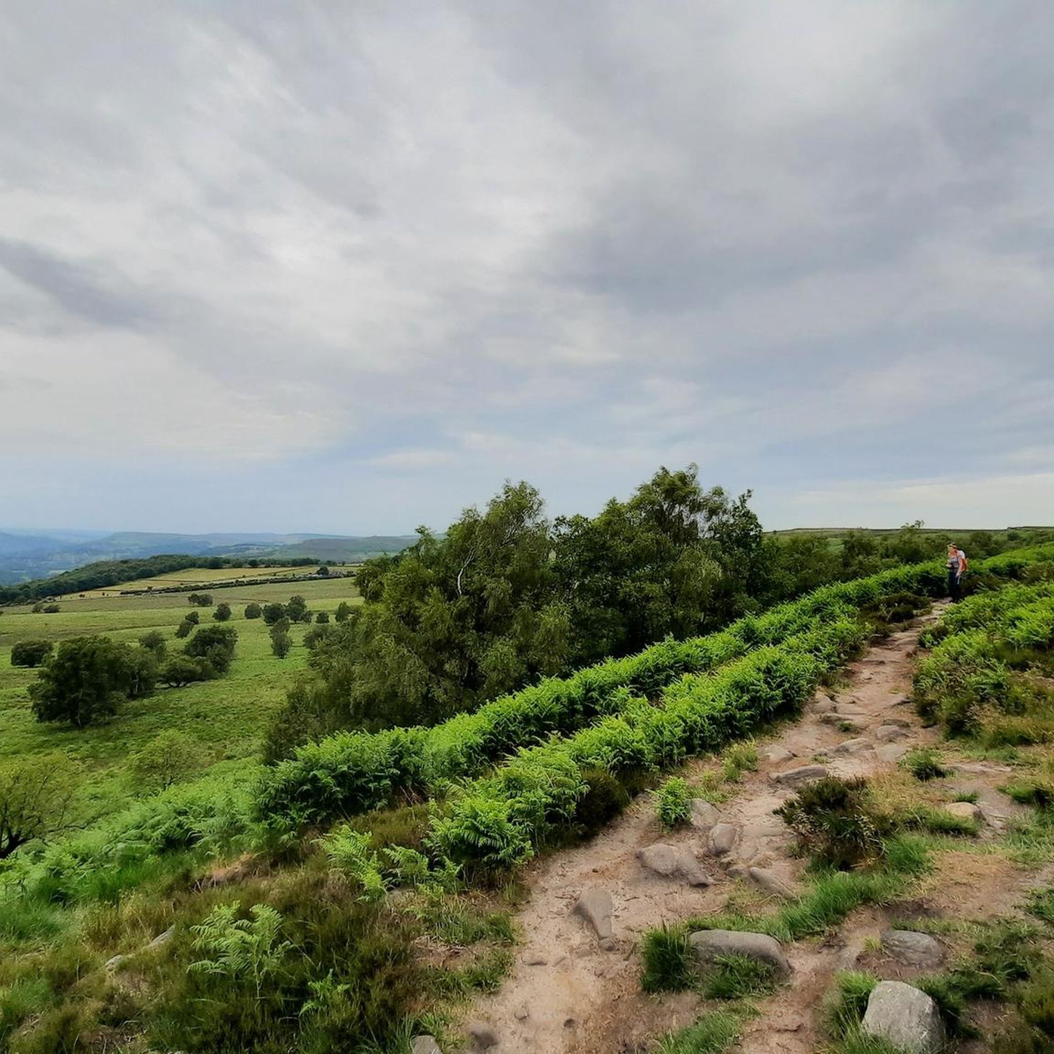
Running Trails around Baslow and Bubnell CP
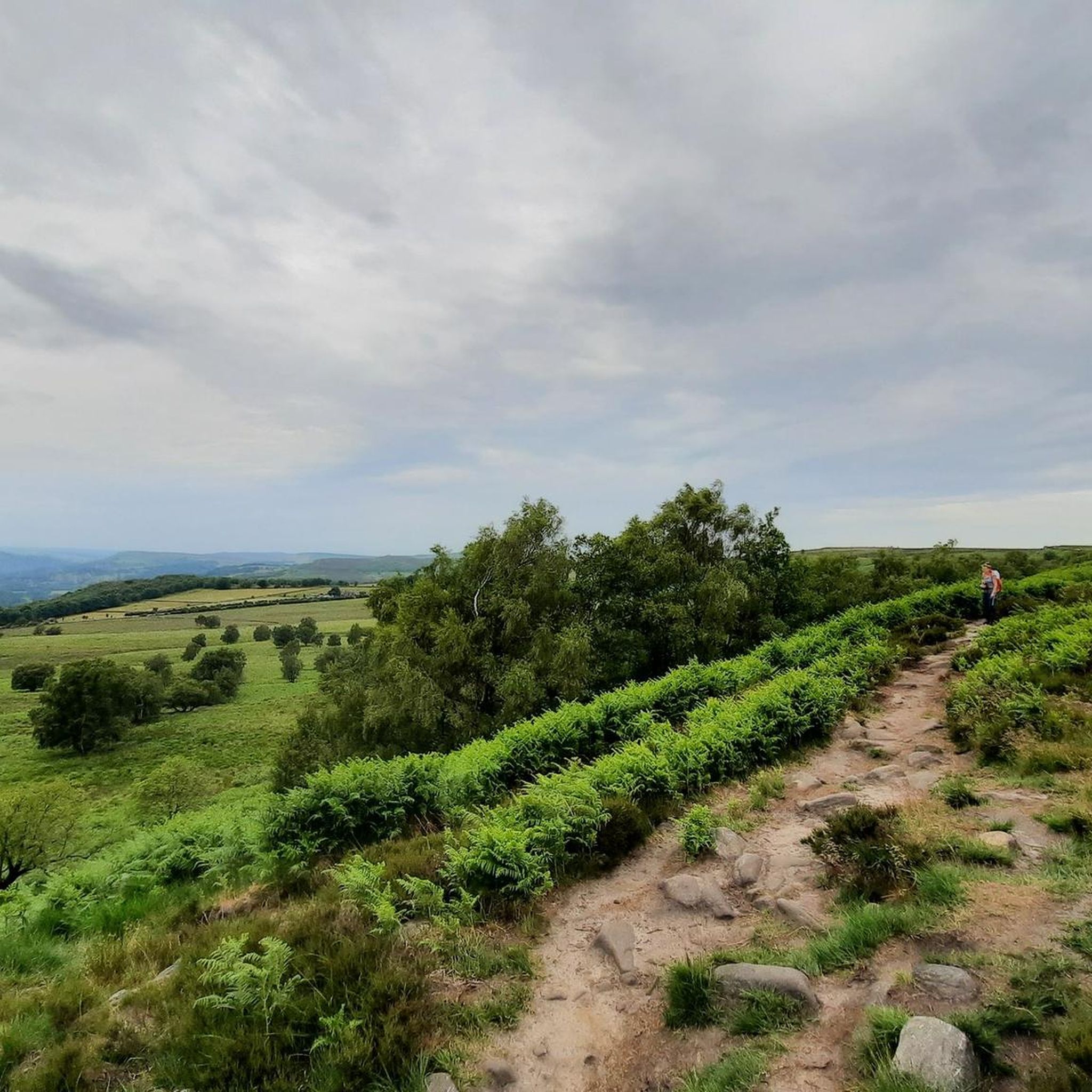
MTB Trails around Baslow and Bubnell CP
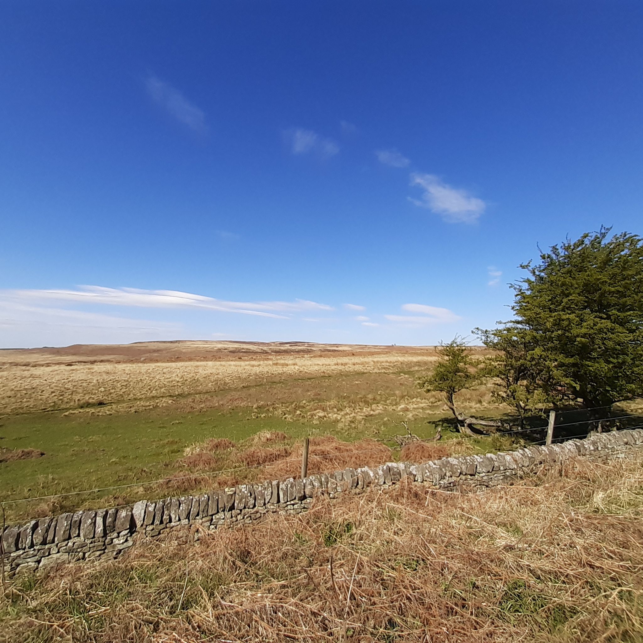
Road Cycling Routes around Baslow and Bubnell CP
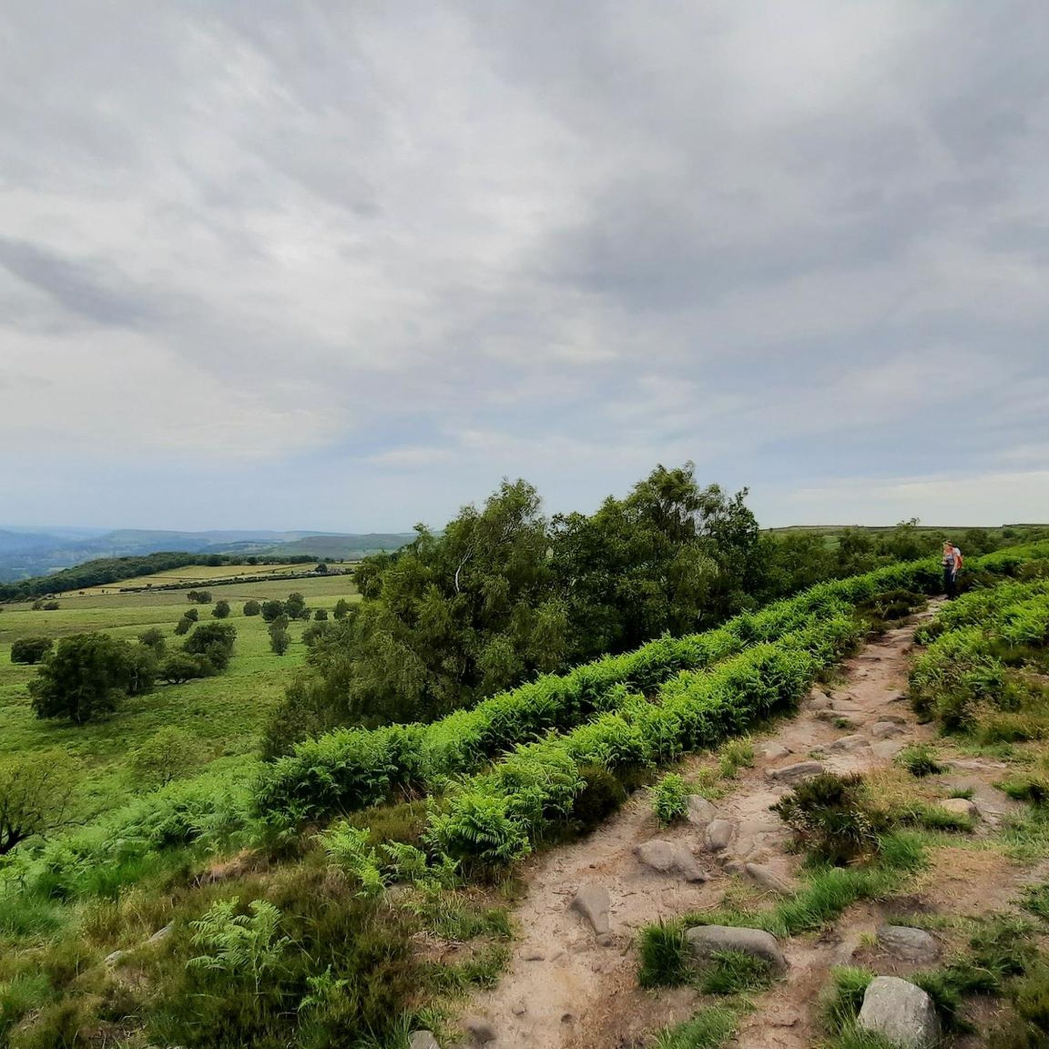
Cycling around Baslow and Bubnell CP
Other adventures around Baslow and Bubnell CP


Tips from the Community

Great place to across the "Parrot Lady" Chloe
0
0

Great sport for both sunrises and Sunsets
0
0

Great spot to walk/run round always uplifting, it can be very muddy and boggy in places after heavy rainfall.
0
0
Offer good views down into the valley in-between Burbage edge and higgor tor
0
0

Nice area to stop by, have a snack and enjoy the peaceful noise of a running stream. Don't stop if you need to pee haha! :)
0
0

There's a coffee van in the car park here at the weekends now - good coffee, good cake.
0
0

The figure of "Robin Hood"—who famously takes from the rich and gives to the poor—is by no means proven to be a historical figure, but has been retold over and over again for many centuries. He, his friends, and his exploits are set in the heart of the legendary "Sherwood Forest" that he made famous. This cave in the Derbyshire Dales, west of Sheffield, is also said to be associated with him as a place of refuge.
0
0

Frequently Asked Questions
What kind of terrain can I expect on mountaineering routes around Baslow and Bubnell CP?
Mountaineering in this area is characterized by its distinctive gritstone landscapes within the Peak District National Park. You'll encounter prominent gritstone escarpments like Baslow Edge, Curbar Edge, and Froggatt Edge, offering varied terrain. The routes also feature a mix of woodlands, open meadows, and rolling hills, with the River Derwent flowing through the village.
What is the general difficulty level of mountaineering routes in Baslow and Bubnell CP?
The mountaineering routes listed in this guide are generally considered moderate in difficulty. They offer a good challenge for those with some experience, featuring varied terrain and elevation changes suitable for a rewarding outdoor adventure.
Are there any circular mountaineering routes available?
Yes, several routes are designed as loops, allowing you to start and finish in the same location. For example, the Curbar Edge – Froggatt Edge loop from Grindleford is a popular circular option, as is the Stanage Edge Viewpoint – Stanage Edge loop from Redmires Upper Reservoir.
What natural features or landmarks can I see while mountaineering in Baslow and Bubnell CP?
The area is rich in natural beauty and interesting landmarks. You might encounter the iconic Eagle Stone on Baslow Edge, explore the ancient woodlands of Padley Gorge, or walk alongside the River Derwent. The Monsal Dale Weir is also a notable feature on some routes.
Are there any caves or waterfalls to explore near the mountaineering routes?
Yes, the region offers several interesting natural features. You can find caves like Robin Hood's Cave or Rowtor Rocks. For waterfalls, consider visiting the Lumsdale Valley Mill Ruins and Waterfall, or the Sowter Stone Waterfall.
What do other mountaineers enjoy most about the routes in Baslow and Bubnell CP?
The komoot community highly rates the mountaineering routes in Baslow and Bubnell CP, with an average score of 5.0 stars. Users often praise the expansive views from the gritstone edges and the diverse scenery, which includes moorland, woodlands, and river paths.
Are the mountaineering routes in Baslow and Bubnell CP suitable for families?
While the routes listed are generally moderate, the varied terrain and distances might be more suitable for families with older children or those accustomed to longer walks. The area's mix of woodlands and open meadows offers scenic beauty for all, but always check individual route details for suitability.
Are the mountaineering routes dog-friendly?
Many trails in the Peak District National Park are dog-friendly, but it's essential to keep dogs under control, especially near livestock or on nature reserves. Always check local signage and be prepared to use a leash. The varied terrain, including open moorland and woodlands, can be enjoyable for dogs.
Where can I find parking for mountaineering routes in Baslow and Bubnell CP?
Parking availability varies by trailhead. For routes like the Headstone Viaduct – Monsal Dale Weir loop, there is a designated car park at Little Longstone. For other routes, you might find parking near villages like Grindleford or Redmires Upper Reservoir, but it's always advisable to check specific starting points for parking options.
Can I reach the mountaineering routes using public transport?
Public transport options are available to reach various points within the Peak District. Buses serve villages like Baslow and Grindleford, which can be starting points for some routes. For specific routes, research bus schedules and stops that align with your chosen trailhead.
What is the best time of year for mountaineering in Baslow and Bubnell CP?
Spring and autumn often offer the most pleasant conditions for mountaineering, with milder temperatures and beautiful scenery. Summer can be great, but be prepared for busier trails. Winter mountaineering is possible but requires appropriate gear and experience due to potentially challenging weather conditions on the exposed gritstone edges.
Are there places to eat or drink after a mountaineering trip?
Baslow and Bubnell, along with nearby villages, offer several options for refreshments. You'll find traditional pubs and cafes where you can relax and refuel after your mountaineering adventure.
Most popular routes around Baslow and Bubnell CP
Most popular attractions around Baslow and Bubnell CP

Get inspired with the komoot mobile app


Explore more
Browse the best Mountain Hikes & Routes in other regions.
