The best running trails around Rostrevor Mountains
4.9
(20)
1,800
runners
95
runs
Jogging around Rostrevor Mountains offers diverse landscapes, from coastal paths along Carlingford Lough to challenging ascents on Slieve Martin. The region features extensive forest trails within Rostrevor Forest and Kilbroney Park, alongside tranquil riverside routes like the Fairy Glen. These varied terrains provide options for different running preferences and fitness levels.
Best jogging routes around Rostrevor Mountains
- The most popular jogging route is Fiddlers Green – Slieve Martin Summit Cairn loop from Rostrevor, a 5.9 miles (9.5 km) trail that takes about 1 hour 23 minutes to complete. This difficult route offers a challenging ascent to the Slieve Martin Summit Cairn.
- Another top favourite among local runners is Kilbroney Park – Fairy Glen loop from Crotlieve Mountain, a difficult 9.3 miles (15.0 km) path. This route covers diverse terrain through Kilbroney Park and the scenic Fairy Glen.
- Local runners also love the Fairy Glen – Kilbroney Caravan Park loop from Rostrevor, a 2.5 miles (4.0 km) trail leading through the peaceful Fairy Glen, often completed in about 26 minutes.
- Jogging around Rostrevor Mountains is defined by coastal paths, forest trails, and mountain ascents. The network offers options for different ability levels, from easy riverside jogs to difficult mountain running.
- The routes in Rostrevor Mountains are highly rated by the komoot community with an average score of 4.8 stars from over 16 reviews. More than 1800 runners have used komoot to explore Rostrevor Mountains's varied terrain.
Last updated: August 26, 2026
5.0
(1)
56
runners
14.6km
01:52
360m
360m
Hard run. Very good fitness required. Mostly paved surfaces. Suitable for all skill levels.
5.0
(1)
68
runners
15.0km
01:52
250m
250m
Hard run. Very good fitness required. Mostly paved surfaces. Suitable for all skill levels.

Sign up for free
50
runners
4.00km
00:27
70m
70m
Easy run. Great for any fitness level. Mostly paved surfaces. Suitable for all skill levels.
5.0
(2)
52
runners
9.93km
01:02
70m
70m
Moderate run. Good fitness required. Mostly paved surfaces. Suitable for all skill levels.
42
runners
24.8km
03:06
710m
710m
Hard run. Very good fitness required. Mostly paved surfaces. Suitable for all skill levels.
Get access to more routes and recommendations from other explorers.
Sign up for free
Already have an account?
Our route recommendations are based on thousands of hikes, rides, and runs completed by other people on komoot.
Start today with a free account
Your next adventure awaits.
Login or Signup

Tips from the Community

Added to the collection: komoot.com/de-de/collection/3600632/-naturdenkmaeler-besondere-baeume-und-weitere-schaetze-der-natur
0
0

This impressive tree, which has stood here for centuries, is a testament to the region's rich natural history. The paths leading there lead through dense forest and offer a pleasant ride away from traffic. However, some sections are slippery in wet weather, so care should be taken. A particular highlight is the proximity to the Cloughmore Stone, a huge boulder that was transported here during the last Ice Age.
1
0
The well-signposted mountain bike trails take you through dense forests and offer breathtaking views of Carlingford Lough and the Mourne Mountains. The descent from the Cloughmore Stone, a huge boulder that was transported here during the last ice age, is a particular highlight. However, some sections are technical and require a certain level of riding technique. The trails can become slippery in wet weather, so caution is advised. Another plus point is the proximity to the charming village of Rostrevor, where you can relax in one of the cafes after the tour.
3
0

There’s heaps to do when you visit Kilbroney park so bring a picnic, kids, dogs, bikes, walking boots and enjoy the day. Start at the Visitor Centre and learn about the forest and extraordinary Cloughmore Stone. There are tennis courts, play area, sports fields, an arboretum, walking and bike trails in the forest. Fiddler’s Green was once used for local entertainment and festivals.
2
0

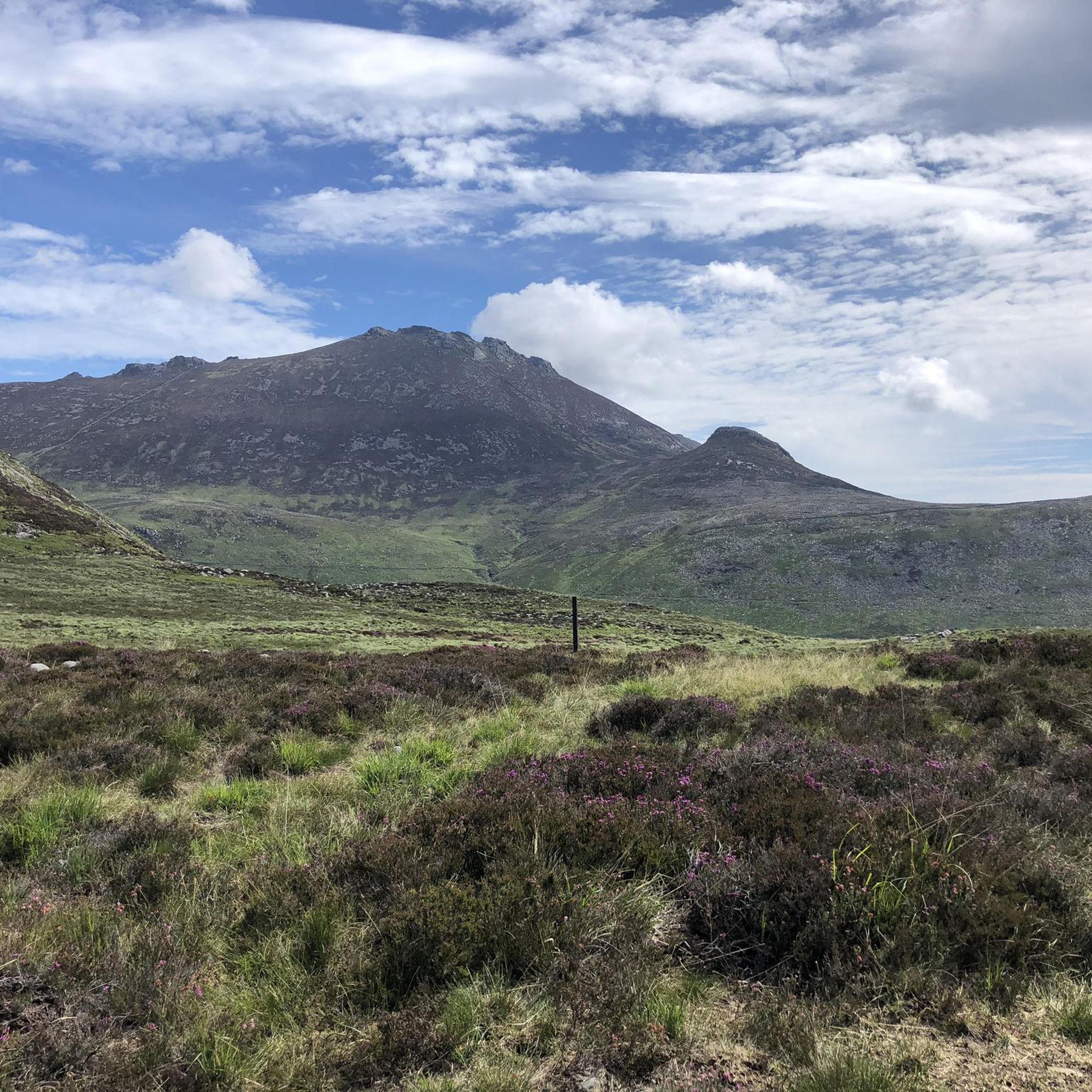
Start of a beautiful path
0
0

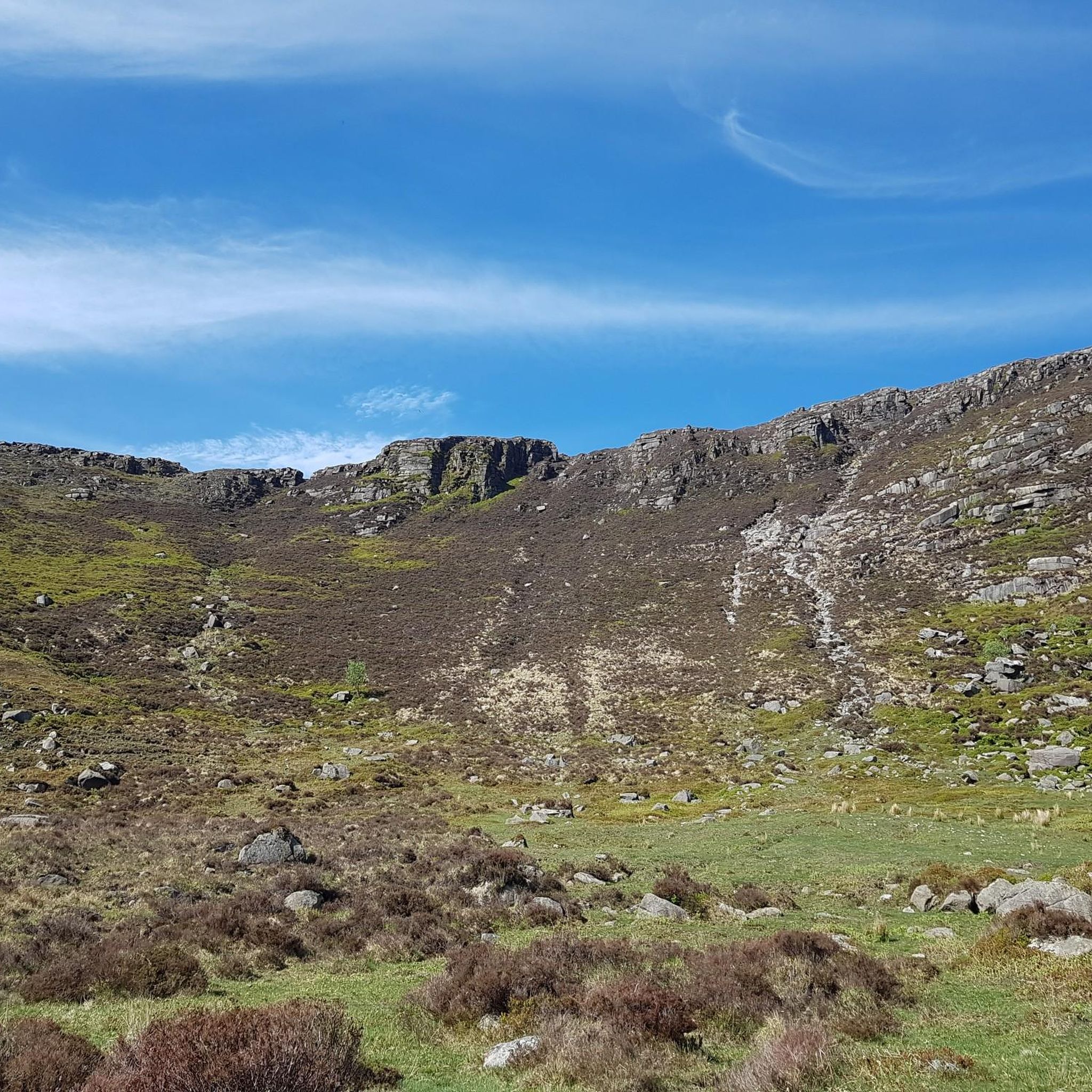
Steep and slippy the rocky path is a tricky climb or descent especially when it’s wet!
0
0
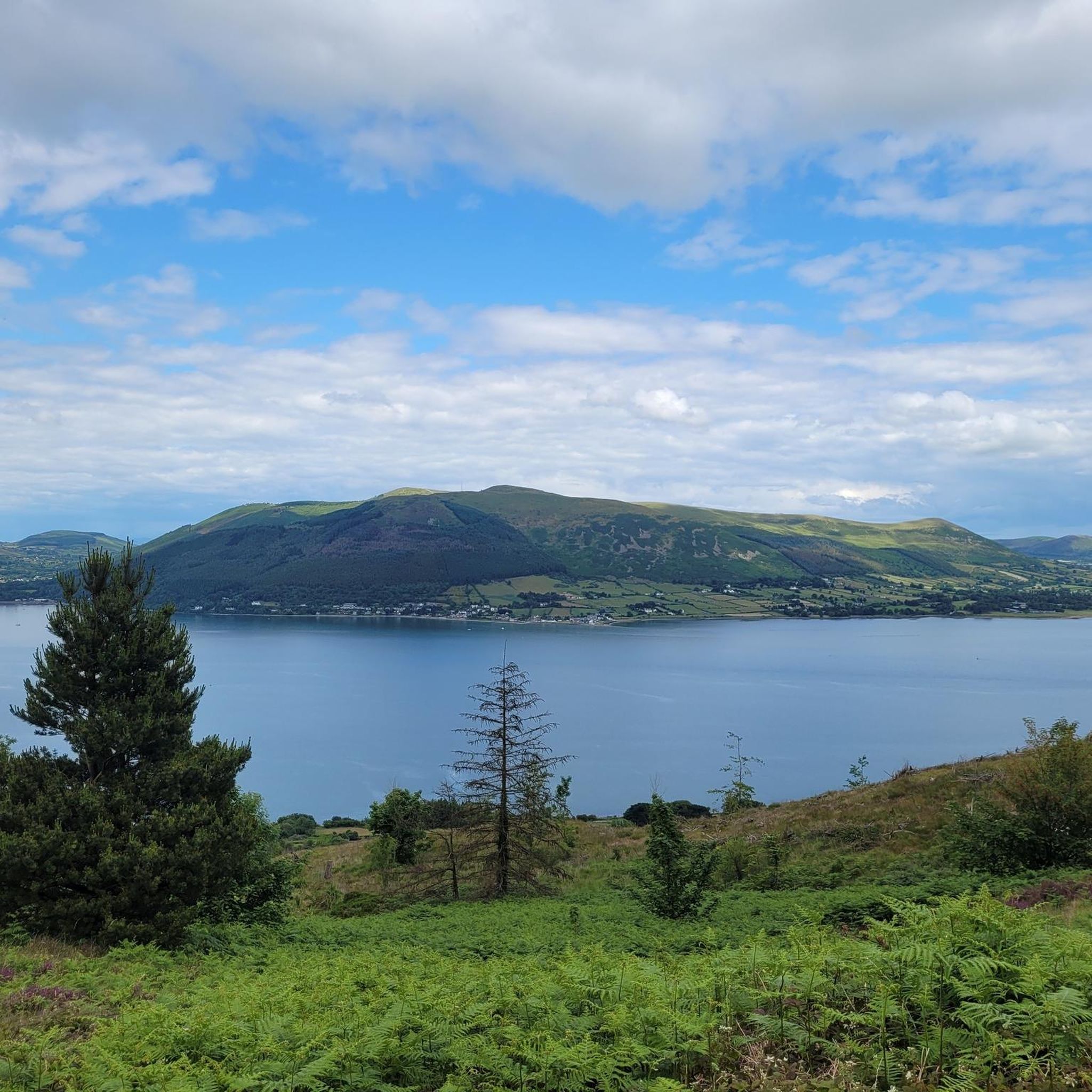
Standing at 472m from sea level Slievemeen offers incredible views down over the village of Killowen and over Carlingford Lough. The new path is great for running/hiking along the top.
0
0

Frequently Asked Questions
How many running trails are available in the Rostrevor Mountains?
The Rostrevor Mountains area offers a wide selection of running routes, with over 100 trails available for various fitness levels. These include easy, moderate, and difficult options, ensuring there's something for every runner.
What kind of terrain can I expect when jogging in the Rostrevor Mountains?
Jogging in the Rostrevor Mountains offers a diverse range of terrains. You'll find everything from scenic coastal paths along Carlingford Lough and tranquil riverside routes like the Fairy Glen, to extensive forest trails within Rostrevor Forest and Kilbroney Park. For more challenging runs, there are also mountain ascents, including trails leading up Slieve Martin.
Are there running routes suitable for beginners or those looking for an easy jog?
Yes, there are several easy running routes perfect for beginners or those seeking a relaxed jog. A great option is the Fairy Glen – Kilbroney Caravan Park loop from Rostrevor, which is about 2.5 miles (4.0 km) and leads through the peaceful Fairy Glen. Kilbroney Park also offers gentle paths like the Shore and Meadow Loop.
What are some challenging running routes for experienced runners in the Rostrevor Mountains?
For experienced runners seeking a challenge, the Rostrevor Mountains offer demanding routes with significant elevation gain. Consider the Fiddlers Green – Slieve Martin Summit Cairn loop from Rostrevor, a 5.9-mile (9.5 km) trail with a challenging ascent. Another option is the Rocky Path to the Cairn – Slievemeen loop from Rostrevor, a longer 24.8 km route with over 700m of elevation gain.
Are there any notable landmarks or viewpoints to see while running in the Rostrevor Mountains?
Absolutely! Many running routes offer stunning views and pass by significant landmarks. You can enjoy panoramic views over Carlingford Lough from elevated viewpoints. The famous Cloughmore Stone, a massive glacial boulder, is a unique landmark on the slopes of Slieve Martin. Additionally, routes often provide glimpses of peaks like Slieve Bearnagh and Slieve Foye Summit.
Can I find routes with scenic water features like rivers or loughs?
Yes, the Rostrevor Mountains are rich in scenic water features. Many routes offer breathtaking views of Carlingford Lough, a stunning sea lough. The enchanting Fairy Glen features a lovely linear route winding along the Kilbroney River, providing a peaceful environment with the sound of flowing water. Red Bog Lake is also part of longer trails like the Fallows Trail, adding varied scenery to your run.
Is there parking available for runners in the Rostrevor Mountains area?
Yes, Kilbroney Park, a central hub for many trails, offers ample parking facilities, making it a convenient base for your run. Other trailheads around the Rostrevor Mountains may also have designated parking areas.
How can I reach the Rostrevor Mountains trails using public transport?
While specific public transport routes can vary, Rostrevor village is generally accessible by bus services. From Rostrevor, many trails, particularly those within Kilbroney Park and the Fairy Glen, are within walking distance. For detailed and up-to-date public transport information, it's best to check local bus schedules.
Are the running trails in Rostrevor Mountains suitable for families?
Yes, Kilbroney Park, in particular, offers family-friendly options. The Narnia Trail, inspired by C.S. Lewis, provides an interactive woodland walk that families can enjoy. While not a traditional jogging route, it's a great way to explore the park. For gentle jogs, the Fairy Glen offers a peaceful and accessible environment for families.
Are dogs allowed on the running trails in Rostrevor Mountains?
Many trails in the Rostrevor Mountains, especially within Rostrevor Forest and Kilbroney Park, are dog-friendly. However, it's always recommended to keep dogs on a lead, especially in areas with wildlife or livestock, and to follow any posted signage regarding dog access and waste disposal.
What do other runners enjoy the most about jogging in Rostrevor Mountains?
The running routes in Rostrevor Mountains are highly rated by the komoot community, with an average score of 4.8 stars. Runners often praise the diverse landscapes, from coastal views to forest trails, and the well-maintained network of paths. The stunning natural beauty, including Carlingford Lough and the Fairy Glen, is frequently highlighted as a major draw.
Are there any circular running routes in the Rostrevor Mountains?
Yes, many of the running routes in the Rostrevor Mountains are circular, allowing you to start and finish at the same point. Examples include the Kilbroney Park – Fairy Glen loop from Crotlieve Mountain and the Kilbroney Park – Warrenpoint Shore Road loop from Rostrevor, offering varied distances and difficulties.
What facilities are available at Kilbroney Park for runners?
Kilbroney Park serves as an excellent base for runners, offering convenient facilities. These include a cafe where you can refuel, public toilets, and ample parking. The park also hosts a weekly Parkrun event, highlighting its appeal to the running community.
Most popular attractions around Rostrevor Mountains

Get inspired with the komoot mobile app


Explore more
Browse the best Running Trails & Routes in other regions.
