The best walks and hikes around Lurgancanty
4.6
(204)
1,590
hikers
90
hikes
Hiking around Lurgancanty offers diverse landscapes, characterized by its proximity to Lough Neagh, the largest lake in Ireland, which provides extensive shoreline paths and scenic views. The area features a mix of green parklands, nature reserves, and tranquil lake environments. Trails often traverse gentle rolling terrain, offering accessible outdoor experiences.
Best hiking trails around Lurgancanty
- The most popular hiking route is Fallows Trail, a 7.4 miles (11.9 km) trail that takes 3 hours 33 minutes to complete. This moderate…
Last updated: June 27, 2026
4.6
(11)
44
hikers
11.9km
03:33
370m
370m
Embark on the Fallows Trail for a moderate hiking adventure that spans 7.4 miles (11.9 km) and includes a significant elevation gain of 1201 feet (366 metres). You can expect…
4.0
(3)
22
hikers
7.94km
02:44
430m
430m
Embark on the Rostrevor Forest Slievemartin Trail, a moderate hike spanning 4.9 miles (7.9 km) with an elevation gain of 1405 feet (428 metres), typically taking around 2 hours and…

Sign up for free
4.8
(5)
17
hikers
12.9km
04:10
540m
530m
Embark on the Slievemeen, Slievemeel & Slievemartin loop, a moderate hike covering 8.0 miles (12.9 km) with an elevation gain of 1768 feet (539 metres), typically taking 4 hours and…
4.2
(6)
14
hikers
3.51km
01:13
200m
190m
Embark on the easy Cloughmore Trail, a 2.2-mile (3.5 km) hike that typically takes about 1 hour and 12 minutes to complete. You will gain 646 feet (197 metres) in…
4.4
(9)
76
hikers
8.84km
03:01
450m
450m
Moderate hike. Good fitness required. Easily-accessible paths. Suitable for all skill levels.
Get access to more routes and recommendations from other explorers.
Sign up for free
Already have an account?
Our route recommendations are based on thousands of hikes, rides, and runs completed by other people on komoot.
Start today with a free account
Your next adventure awaits.
Login or Signup



Tips from the Community

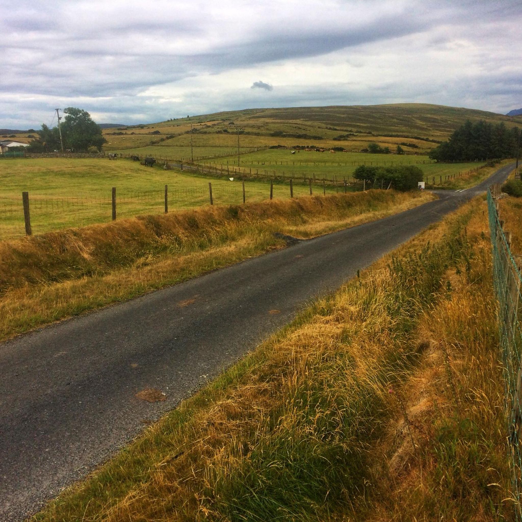
The hike to the Cloghmór Stone feels like a journey through time. Over 10,000 years ago, the ice brought this massive granite block from Scotland here, and now, weighing an estimated 50 tons, it towers majestically over the landscape. But it's not just the geology that's fascinating - according to legend, it was the giant Finn McCool who threw this enormous stone over Carlingford Lough. To be honest, the legend is a much more exciting explanation, isn't it? Once you've reached the top, you'll not only be greeted by the imposing boulder, but also by a fantastic view of Carlingford Lough and the surrounding hills. It's the perfect place to pause for a moment, take in the vastness and enjoy the peace that this place exudes.
0
0

A beautiful round stone, there is a legend about it but unfortunately we could not find out
0
0
A beautiful forest with good views of the sea
0
0
Start of a beautiful path
0
0
Designated viewpoint, with a nice bench to relax
0
0
View of the valley and the surrounding mountains
0
0

A beautiful secluded clearing in the Oak forest. The message on the bench is pretty apt for any trail runners who have slogged up the hill!
1
0
Frequently Asked Questions
How many hiking trails are available in the Lurgancanty area?
The Lurgancanty area offers a wide variety of hiking experiences, with over 90 routes available. These range from easy strolls to more challenging moderate trails, catering to different fitness levels.
Are there easy hikes suitable for beginners or families in Lurgancanty?
Yes, Lurgancanty has numerous easy trails perfect for beginners and families. For instance, the Cloughmore Trail is an easy option, offering a pleasant walk. The region's green parklands and lakeside paths, such as those found in Lurgan Park or around Craigavon Lakes, also provide accessible and enjoyable walking experiences.
What kind of landscapes can I expect to see while hiking in Lurgancanty?
Hiking in Lurgancanty offers diverse landscapes, heavily influenced by its proximity to Lough Neagh. You can expect extensive shoreline paths with scenic lake views, lush green parklands, and tranquil nature reserves. Trails often traverse gentle rolling terrain, providing a mix of natural beauty and accessible outdoor experiences.
Are there any circular hiking routes in Lurgancanty?
Yes, there are circular options available. For example, the Slievemeen, Slievemeel & Slievemartin loop — Mourne offers a varied hill and forest terrain experience. Many trails within local parks and nature reserves, like Oxford Island, also feature loop configurations.
What are some scenic viewpoints or natural attractions to look out for?
The Lurgancanty area boasts several scenic spots. You can find beautiful views of Carlingford Lough from the Mourne AONB, or from Rostrevor Road. Highlights like View of Carlingford Lough from Mourne AONB and View of Carlingford Lough from Rostrevor Road offer stunning vistas. Additionally, areas like Oxford Island Nature Reserve provide opportunities to observe diverse wildlife and enjoy the shores of Lough Neagh.
Can I bring my dog on the hiking trails in Lurgancanty?
While many outdoor areas in the region are dog-friendly, it's always best to check specific regulations for each park or nature reserve. Generally, dogs are welcome on trails if kept on a leash, especially in areas with wildlife or livestock. Please ensure you clean up after your pet.
What is the best time of year to go hiking in Lurgancanty?
The Lurgancanty area is enjoyable for hiking throughout much of the year. Spring and summer offer pleasant temperatures and vibrant greenery, while autumn provides beautiful foliage. Even in winter, many trails are accessible, though conditions can be colder and wetter, so appropriate gear is recommended.
Are there any places to eat or drink near the hiking trails?
Yes, several locations offer amenities. Lurgan Park is within the town, providing easy access to local cafes and shops. Oxford Island Nature Reserve has a visitor center which typically includes facilities. Tannaghmore Gardens also offers amenities for visitors, making it convenient to find refreshments after a walk.
What do other hikers enjoy most about hiking in Lurgancanty?
The Lurgancanty area is highly rated by the komoot community, with an average score of 4.6 stars from over 220 reviews. Reviewers often praise the diverse landscapes, the tranquility of the lakeside paths, and the well-maintained trails that cater to various skill levels.
Are there any longer, more challenging hikes for experienced hikers?
Yes, for those seeking a more challenging experience, routes like the Fallows Trail offer varied terrain and a moderate difficulty over a longer distance. The Cloughmore Stone – View of Carlingford Lough loop from Rostrevor is another moderate option with significant elevation gain, providing a good workout and rewarding views.
What kind of wildlife can I expect to see while hiking?
The region, particularly around Lough Neagh and Oxford Island Nature Reserve, is rich in wildlife. You can often spot a variety of wild birds, including swans, ducks, geese, and waterhens. The natural reserves are excellent for birdwatching, and you might encounter other small mammals in the forested areas.
Is public transport available to reach hiking areas in Lurgancanty?
While specific trailhead access by public transport can vary, the broader Lurgan area is served by public transport networks. It's advisable to check local bus routes and schedules to see if they connect to the vicinity of your chosen hiking starting points, especially for locations like Lurgan Park or Oxford Island.
Most popular attractions around Lurgancanty

Get inspired with the komoot mobile app


Explore more
Browse the best Hikes in other regions.
