The best road cycling routes around Ballynagappoge
5.0
(7)
359
riders
39
rides
Road cycling routes around Ballynagappoge are situated in a region characterized by rolling hills and varied terrain, offering diverse experiences for cyclists. The landscape includes agricultural lands and elevated areas, providing both gentle stretches and more challenging climbs. This area, located in County Down, Northern Ireland, features a network of roads that wind through rural settings, often with views of the surrounding countryside. The elevation changes are generally moderate, with some routes featuring notable ascents.
Best road cycling routes around…
Last updated: November 11, 2026
31
riders
35.0km
01:35
390m
390m
Moderate road ride. Good fitness required. Mostly well-paved surfaces and easy to ride.
25
riders
38.1km
01:41
330m
330m
Moderate road ride. Good fitness required. Mostly well-paved surfaces and easy to ride.

18
riders
52.6km
02:30
680m
690m
Moderate road ride. Good fitness required. Mostly well-paved surfaces and easy to ride.
21
riders
26.3km
01:15
330m
330m
Moderate road ride. Good fitness required. Mostly well-paved surfaces and easy to ride.
17
riders
28.8km
01:16
290m
290m
Easy road ride. Mostly well-paved surfaces and easy to ride.
Get access to more routes and recommendations from other explorers.
Already have an account?
Our route recommendations are based on thousands of hikes, rides, and runs completed by other people on komoot.
Start today with a free account
Your next adventure awaits.



Tips from the Community

A great little cafe set in the bike shop, with great coffee and a nice variety of sweet goodies.
0
0

The gently ascending road winds through a wide, open landscape, surrounded by grassy hills and breathtaking silence. Only the wind and the quiet hum of the tires accompany you here as your gaze wanders into the distance. The climb may be challenging, but the view that opens up with every meter of altitude is worth the effort. Once at the top, you feel free and rewarded, as if you have conquered a piece of nature and then the reward comes with the descent.
0
0
The route winds gently uphill, offering small clearings through which you can catch a glimpse of the valley and the sparkling water in the distance. The air here is wonderfully fresh and filled with the surrounding forests. During the climb you can feel the peace of the forest, accompanied only by the hum of the tires on the asphalt and the chirping of the birds. Once you reach the top, you are rewarded with a magnificent panorama.
0
0

Lietrim Lodge car park is a popular starting point for many hikes and runs in the area.
0
0

The crannóg is a man made island dating from around the Late Bronze Age period (from approx. 2000 to 500 BC). The Island was inhabited by the Magennis family in the 17th century, who had vacated a castle that is thought to have stood on the lake shore. It was also used as a hiding place for the Irish Rebellion around 1642.
1
0
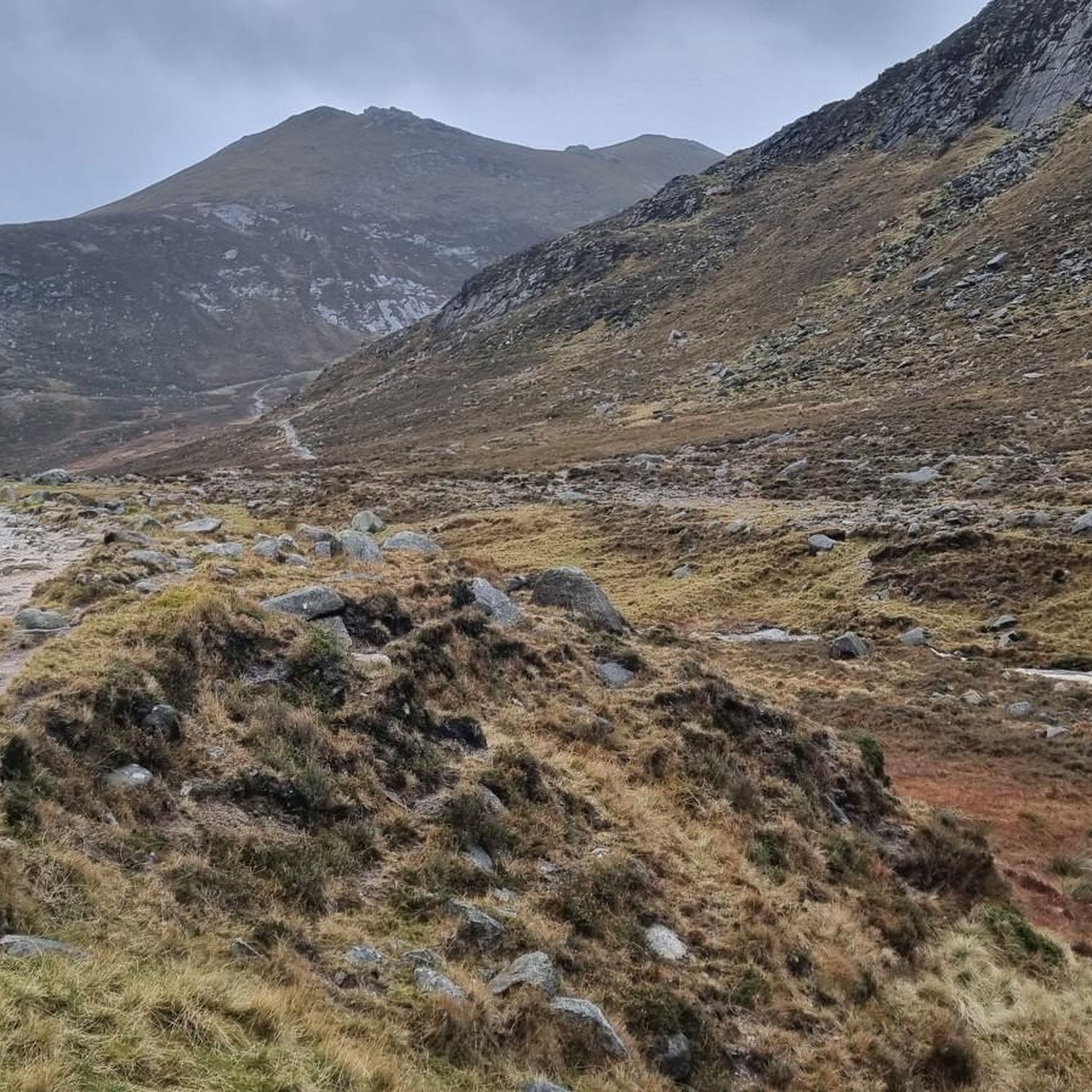
This steady easy going climb offers stunning panoramic views of the forest and the surrounding Mountains of Mourne. Catch your breath and take it all in.
2
0
A lovely small clearing with a few picnic tables and the Yellow Water river running beside it. The small car park is a good place to leave the car for one of the many walks in this area.
0
0

Good road surface with great views on all sides.
1
0
Frequently Asked Questions
How many road cycling routes are available around Ballynagappoge?
There are over 45 road cycling routes available around Ballynagappoge, offering a wide range of options for different skill levels and preferences. These routes traverse rolling hills and varied terrain across County Down, Northern Ireland.
What is the general terrain like for road cycling in Ballynagappoge?
The region around Ballynagappoge is characterized by rolling hills, agricultural lands, and quiet country roads. While many routes feature moderate elevation changes, some areas, particularly towards the Sperrin Mountains, offer more significant climbs and challenging segments. The landscape provides diverse experiences, from gentle stretches to notable ascents.
Are there easy road cycling routes suitable for beginners in Ballynagappoge?
Yes, Ballynagappoge offers several easy road cycling routes perfect for beginners or those seeking a relaxed ride. For instance, The Yard Café loop from Rathfriland is an easy 17.9-mile trail that can be completed in about 1 hour 15 minutes, leading through pleasant rural landscapes.
Are there challenging road cycling routes for experienced cyclists?
Experienced cyclists will find challenging routes with significant elevation gains in the Ballynagappoge area. The region's proximity to mountainous terrain, such as the Sperrin Mountains, means routes can include demanding climbs. An example is the Spelga Reservoir Hill Climb – Trassey Road loop from Rathfriland, a moderate 33.0-mile path featuring a substantial climb towards Spelga Reservoir.
Can I find circular road cycling routes in Ballynagappoge?
Yes, many of the road cycling routes around Ballynagappoge are designed as circular loops, allowing you to start and finish at the same point. This includes popular options like The Yard Café – Loughbrickland Crannóg loop from Rathfriland, which is a moderate 21.6-mile trail.
What scenic viewpoints can I expect along road cycling routes in Ballynagappoge?
Road cycling routes in Ballynagappoge offer numerous scenic viewpoints, especially as you gain elevation. You can enjoy expansive views of the surrounding countryside and mountainous landscapes. Notable viewpoints and natural features in the broader region include Slieve Bearnagh and Hare's Gap, which provide stunning vistas.
Are there any interesting landmarks or attractions to see while cycling?
Beyond the natural beauty, the region offers several points of interest. Cyclists can pass by historical sites such as the Mourne Wall or explore areas like Tollymore Forest Park. The broader area also features historic structures like Baronscourt Castle and ancient rock art near the Ballaghbeama Gap.
Are there any routes that pass by waterfalls?
Yes, for those interested in natural water features, the region includes highlights such as the Shimna River Waterfall. While not directly on every road cycling route, it's a notable natural monument in the vicinity that can be incorporated into a ride or visited nearby.
What do other road cyclists enjoy the most about road cycling in Ballynagappoge?
The area is highly rated by the komoot community, with an average score of 5.0 stars from 7 reviews. Reviewers often praise the quiet country roads, the varied terrain offering both gentle and challenging sections, and the beautiful rural landscapes that define the cycling experience around Ballynagappoge.
Are there any long-distance road cycling routes near Ballynagappoge?
While many routes are moderate in length, the region allows for combining routes to create longer distances. For example, the Spelga Reservoir Hill Climb – Trassey Road loop from Rathfriland covers 33.0 miles, and other routes can be linked to extend your ride, especially towards the more expansive areas of the Sperrin Mountains or the challenging loops incorporating the Gap of Dunloe and Ballaghbeama Gap in the wider region.
What is the best time of year for road cycling in Ballynagappoge?
The best time for road cycling in Ballynagappoge generally aligns with milder weather conditions, typically from late spring through early autumn (May to September). During these months, you can expect more favorable temperatures and less precipitation, making for more enjoyable rides through the rolling hills and rural landscapes.
Are there options for family-friendly road cycling in Ballynagappoge?
Yes, Ballynagappoge offers several easy routes that are suitable for families or those looking for a less strenuous ride. These routes often feature quieter country roads and moderate distances, such as the Katesbridge Mound loop from Heathcliff and Cathy, which is an easy 9.6-mile route with minimal elevation gain.
Most popular routes around Ballynagappoge
Most popular attractions around Ballynagappoge

Get inspired with the komoot mobile app


Explore more
Browse the best Road cycling routes in other regions.
