The best MTB trails around Islandmoyle
4.8
(26)
351
riders
12
rides
Mountain bike trails around Islandmoyle offer diverse terrain within the scenic Mourne Mountains region of County Down, Northern Ireland. The landscape features a mix of challenging mountain ascents, dense forests, and dedicated trail centers. Riders can expect varied topography, from gentle forest paths to steep climbs and technical descents, providing a comprehensive mountain biking experience. The area is characterized by its majestic peaks, such as Slieve Doan and Slieve Bearnagh, and includes attractions like Tollymore Forest Park and the historic…
Last updated: November 12, 2026
48.5km
03:46
960m
960m
Hard mountain bike ride. Very good fitness required.
4.6
(14)
201
riders
Moderate mountain bike ride. Good fitness required.

5.0
(3)
35
riders
16.0km
01:19
190m
190m
Easy mountain bike ride.
5.0
(1)
28
riders
31.9km
02:40
490m
490m
Moderate mountain bike ride. Good fitness required.
34
riders
12.0km
01:18
380m
380m
Moderate mountain bike ride. Good fitness required.
Get access to more routes and recommendations from other explorers.
Already have an account?
Our route recommendations are based on thousands of hikes, rides, and runs completed by other people on komoot.
Start today with a free account
Your next adventure awaits.
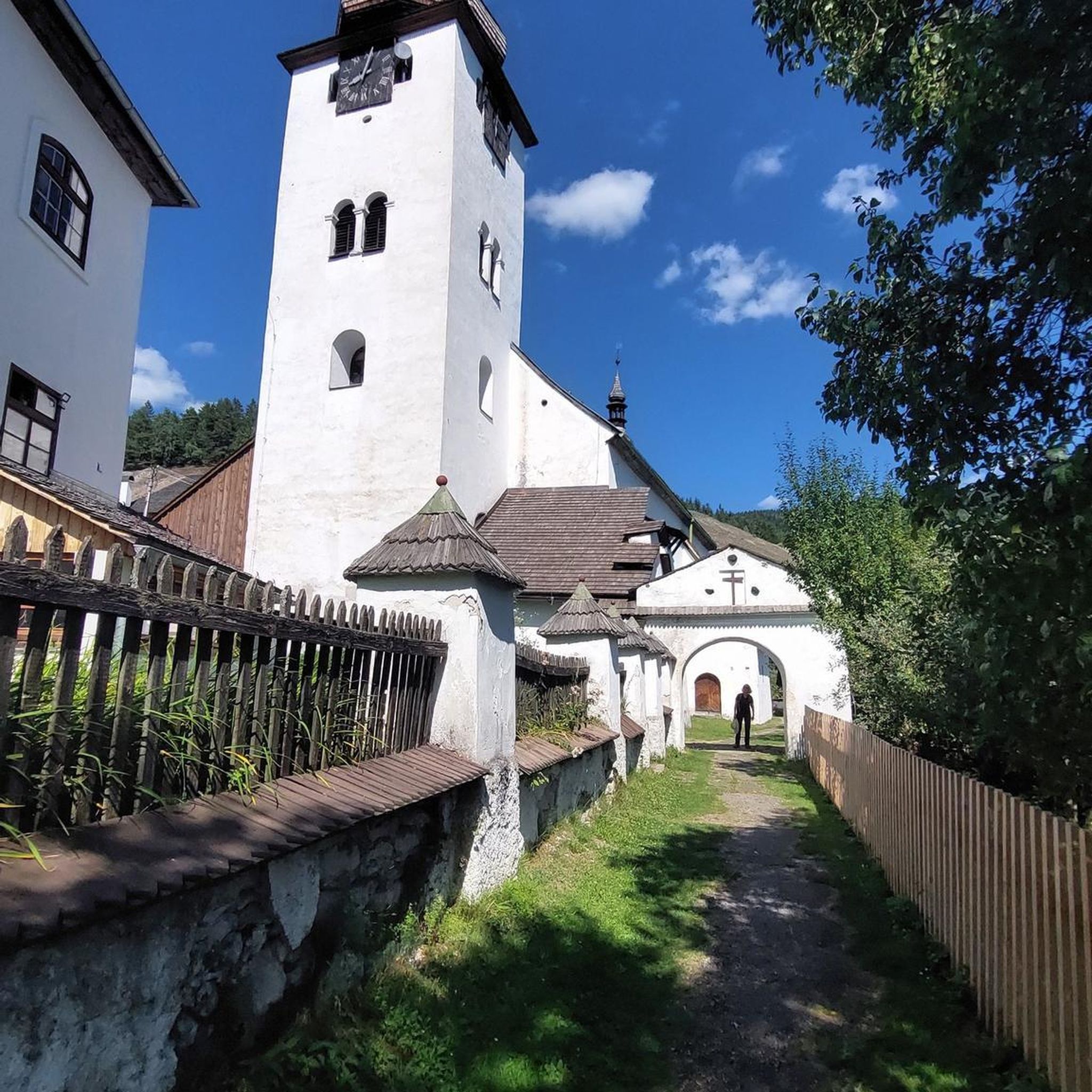
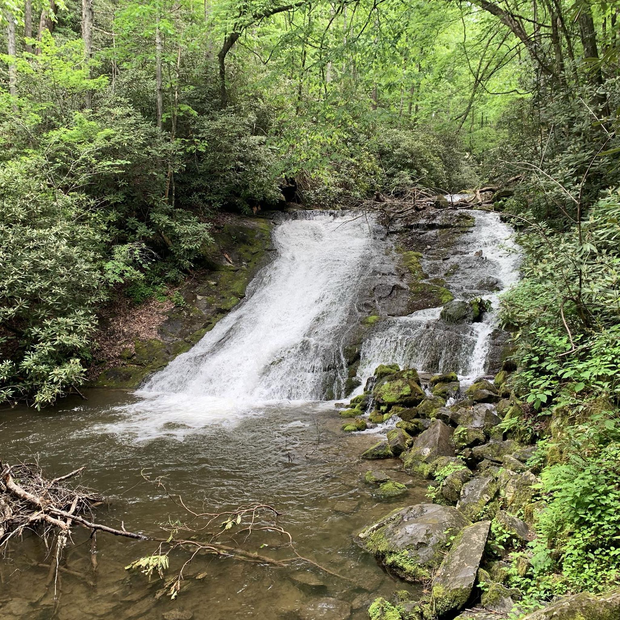
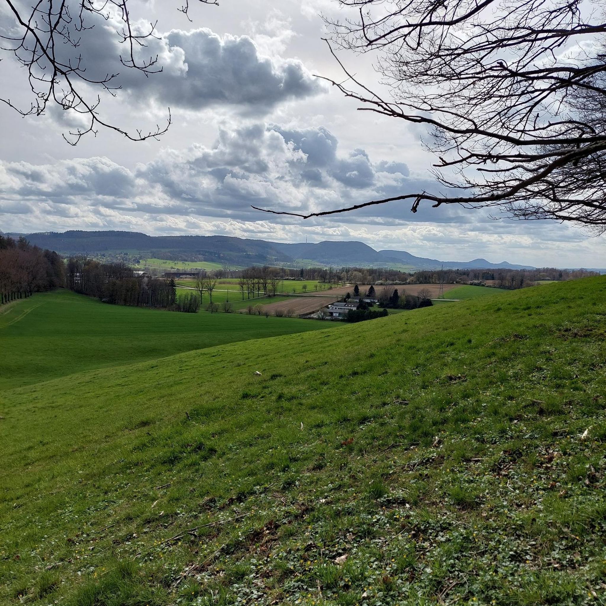
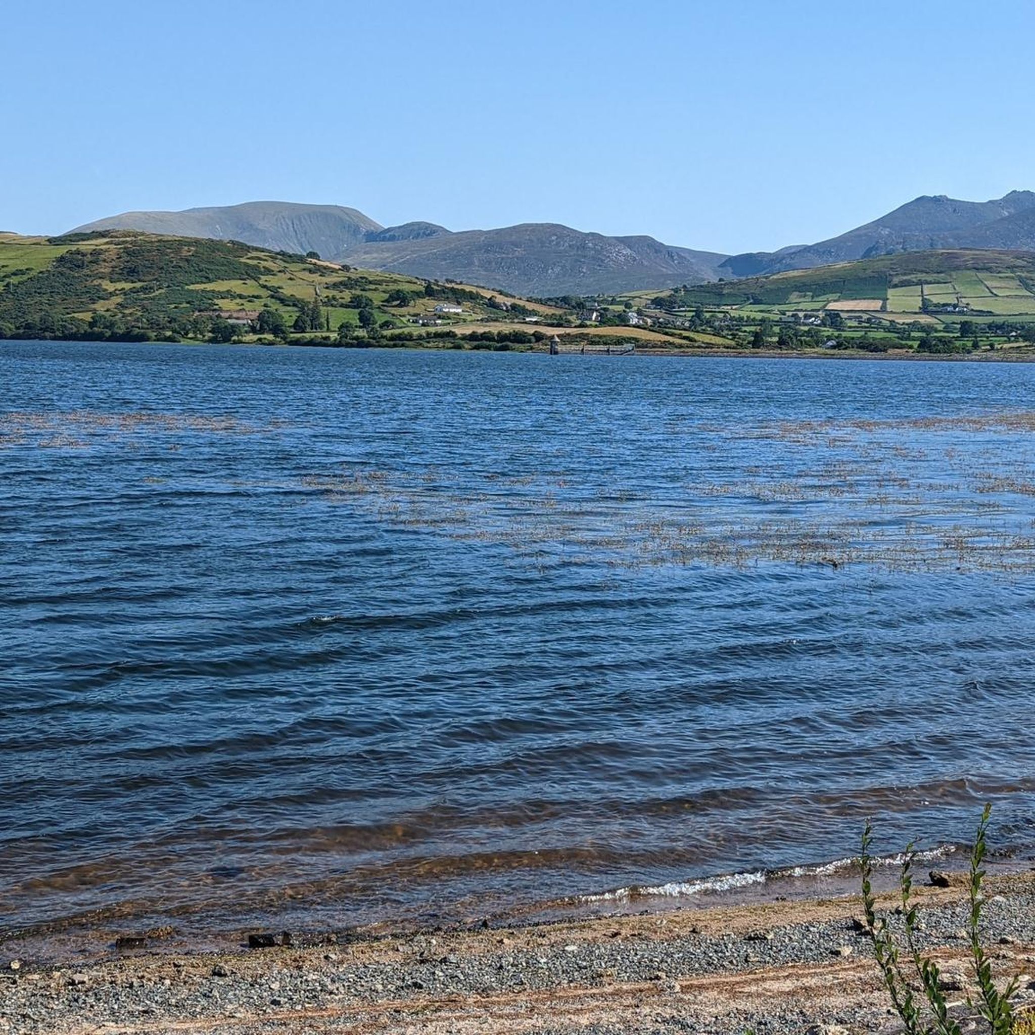
Tips from the Community

FACEBOOK (History of Newcastle, Co. Down, Hore's Bridge, 2026-08-15): https://www.facebook.com/HistoryofNewcastleCo.Down/photos/hores-bridge-over-the-spinkwee-river-sw-tollymore-was-built-in-1824-the-date-is-/754755631362196/ “… Hore's Bridge over the Spinkwee River, SW Tollymore, was built in 1824. …”
1
0
The stepping stones are currently fenced off. Please use the nearby bridges to cross the Shimna River.
2
0
Wikipedia (Tollymore Forest Park, 2026-08-14): https://en.m.wikipedia.org/wiki/Tollymore_Forest_Park “... Parnell Bridge, named in recognition of Sir John Parnell who visited Tollymore in the late 18th century, was constructed in 1842. It was the last stone bridge to be built in Tollymore. …”
2
0
Wikipedia (Tollymore Forest Park, 2026-08-14): https://en.m.wikipedia.org/wiki/Tollymore_Forest_Park “... The Hermitage is a small stone shelter designed by James Hamilton (2nd Earl of Clanbrassil) in the 1770s in memory to his friend the John Montagu, Marquess of Monthermer. It is built into the side of the gorge above the river and was used as a place for ladies to shelter while the men fished. There is an inscription in Greek within the Hermitage which translates as "Clanbrassil, to his very dear friend Monthermer 1770". …”
2
0
Wikipedia (Tollymore Forest Park, 2026-08-14): https://en.m.wikipedia.org/wiki/Tollymore_Forest_Park “... Horn Bridge crosses a small culverted burn (stream) and is crossed by a gravel road. The burn below the bridge is covered with a board walk connected to a path. It was built c.1770 by either the 1st or 2nd Earl. ...”
1
0

The park has no entry fee, you only have to pay 5 £ for parking.
1
0

Easy route no special gear required. Very scenic
0
0

In mid-April, you are greeted by a wonderful scent that comes from the flowering bushes beside the path - perhaps laurel? The fresh breeze mixes with the intense aroma that gives nature something very special. The bridge itself is surrounded by a quiet forest, which makes the crossing seem like a small oasis of relaxation. A brief moment that invites you to take a deep breath before heading back out onto the road.
0
1
Frequently Asked Questions
How many mountain bike trails are there around Islandmoyle?
There are over 10 mountain bike trails available around Islandmoyle. These include a diverse range of routes, with 4 easy, 6 moderate, and 2 difficult trails, catering to various skill levels.
What kind of terrain can I expect on mountain bike trails near Islandmoyle?
The terrain around Islandmoyle is highly varied, reflecting the diverse landscape of the Mourne Mountains. Riders can expect everything from gentle forest paths and well-maintained trail center routes to challenging mountain ascents with significant elevation gain, technical sections, and exhilarating descents. The area features dense forests, open mountain terrain, and trails winding along lake shores.
Are there any family-friendly mountain bike trails in the Islandmoyle area?
Yes, the area offers family-friendly options, particularly within dedicated trail centers. For example, the Castlewellan Lake – Bunkers Hill loop from Castlewellan is an easy 10-mile (16.1 km) trail that winds through Castlewellan Forest and along the lake shores, suitable for a family outing. Tollymore Forest Park also features trails that can be enjoyed by families.
What are some notable landmarks or natural features I might see while mountain biking around Islandmoyle?
The region is rich in natural beauty and landmarks. You might encounter majestic peaks like Slieve Bearnagh, known for its rocky tors, or the historic Mourne Wall. Tollymore Forest Park offers picturesque trails with ornate bridges and stunning views. The View of Castlewellan Castle and the serene Silent Valley Reservoir are also prominent features in the wider Mourne Mountains area.
Are there any mountain bike trails suitable for beginners near Islandmoyle?
Absolutely. Beginners can find suitable routes, especially at dedicated trail centers like Castlewellan, which offers family-friendly and easier graded trails. The Castlewellan Lake – Bunkers Hill loop from Castlewellan is an easy route that provides a great introduction to mountain biking in the area.
Where can I find challenging mountain bike routes around Islandmoyle?
For advanced riders seeking a challenge, the Mourne Mountains offer several demanding routes. The Mourne Hills loop from Hilltown is a difficult 30.1-mile (48.5 km) trail with significant elevation gain. Rostrevor Mountain Bike Trails, a short distance away, are also renowned for their challenging climbs, technical descents, and downhill tracks.
What do other mountain bikers enjoy most about the trails in Islandmoyle?
The mountain bike trails around Islandmoyle are highly rated by the komoot community, with an average score of 4.9 stars from over 19 reviews. Riders often praise the diverse terrain, from challenging mountain ascents to scenic forest paths, and the stunning views offered by the Mourne Mountains. The variety of routes catering to different skill levels is also frequently highlighted.
Are there any circular mountain bike routes available?
Yes, many of the mountain bike trails in the area are designed as circular routes. Examples include the Mourne Hills loop from Hilltown, the Red Trail Section, Mourne AONB – Kilbroney Caravan Park loop from Hilltown, and the Castlewellan Lake – Bunkers Hill loop from Castlewellan, all of which offer a complete loop experience.
Is it possible to access mountain bike trails near Islandmoyle using public transport?
While specific public transport links directly to every trailhead might be limited, major towns like Castlewellan and Hilltown, which serve as starting points for many routes, are generally accessible by bus services. From these points, you may need to cycle or arrange local transport to reach the exact trailheads. It's advisable to check local bus timetables for the most up-to-date information.
Are there designated parking areas for mountain bikers near Islandmoyle?
Yes, dedicated mountain bike trail centers like Castlewellan and Rostrevor, which are close to Islandmoyle, offer ample parking facilities. For other routes, parking may be available in nearby villages like Hilltown or Bryansford, or at designated car parks within forest parks such as Tollymore. Always check for specific parking information for your chosen trailhead.
What is the best time of year for mountain biking around Islandmoyle?
The Mourne Mountains region, including Islandmoyle, offers mountain biking opportunities year-round. However, spring and autumn often provide the most pleasant conditions with milder temperatures and beautiful scenery. Summer can be excellent, but trails may be busier. Winter riding is possible, but be prepared for colder, wetter conditions and potentially muddy trails, especially at higher elevations.
Are there any trails that pass through Tollymore Forest Park?
Yes, Tollymore Forest Park is a popular area for mountain biking. The Bannanstown Road Climb – Tollymore Forest Park loop from Bryansford is a moderate 32.1-mile (32.1 km) route that takes you through the park. Tollymore offers a variety of trails, including XC routes and technical sections, with stunning views of the surrounding mountains and sea. For more information on the park, you can visit nidirect.gov.uk.
Most popular routes around Islandmoyle
Most popular attractions around Islandmoyle

Get inspired with the komoot mobile app


Explore more
Browse the best MTB trails in other regions.
